1875 land survey for the International and Great Northern Rail-road Company


Print $40.00
- Digital $50.00
1875 land survey for the International and Great Northern Rail-road Company
1875
Size: 42.5 x 60.6 inches
2306
Block M6 in Castro, Swisher, and Randall Co's, Tex.


Print $20.00
- Digital $50.00
Block M6 in Castro, Swisher, and Randall Co's, Tex.
Size: 13.8 x 17.2 inches
90397
Capitol Land Reservation


Print $20.00
- Digital $50.00
Capitol Land Reservation
1880
Size: 43.7 x 34.2 inches
10745
Capitol Lands Surveyed by J. T. Munson
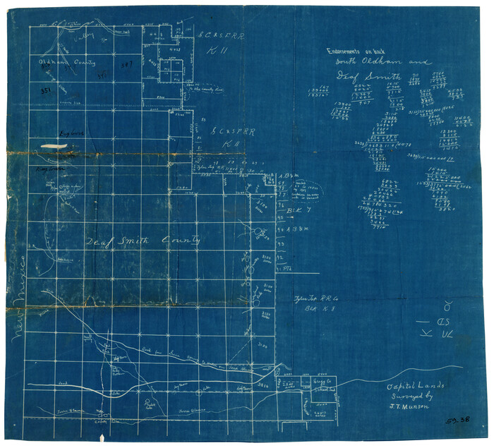

Print $20.00
- Digital $50.00
Capitol Lands Surveyed by J. T. Munson
Size: 14.3 x 13.0 inches
90511
Capitol Lands Surveyed by J. T. Munson
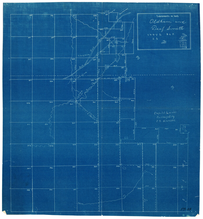

Print $20.00
- Digital $50.00
Capitol Lands Surveyed by J. T. Munson
Size: 15.5 x 16.7 inches
90524
Capitol Lands Surveyed by J. T. Munson
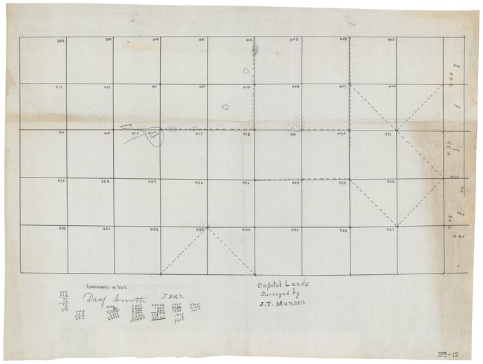

Print $20.00
- Digital $50.00
Capitol Lands Surveyed by J. T. Munson
Size: 25.8 x 19.4 inches
90597
Capitol Lands Surveyed by J. T. Munson
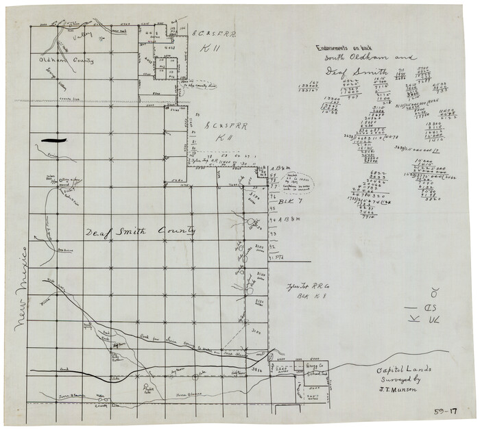

Print $20.00
- Digital $50.00
Capitol Lands Surveyed by J. T. Munson
Size: 22.0 x 19.5 inches
90604
Castro County Rolled Sketch 10


Print $20.00
- Digital $50.00
Castro County Rolled Sketch 10
1908
Size: 30.6 x 8.9 inches
5419
Castro County Rolled Sketch 14


Print $20.00
- Digital $50.00
Castro County Rolled Sketch 14
1965
Size: 47.6 x 43.5 inches
8608
Castro County Rolled Sketch 7


Print $20.00
- Digital $50.00
Castro County Rolled Sketch 7
1908
Size: 28.9 x 24.1 inches
5417
Castro County Rolled Sketch 8


Print $20.00
- Digital $50.00
Castro County Rolled Sketch 8
Size: 34.1 x 28.8 inches
5418
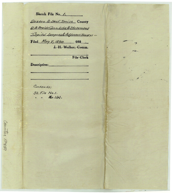
Castro County Sketch File 1

Print $6.00
- Digital $50.00
Castro County Sketch File 1
1890
Size: 8.8 x 7.8 inches
17451
Castro County Sketch File 18


Print $20.00
- Digital $50.00
Castro County Sketch File 18
1988
Size: 40.4 x 37.7 inches
10330
Castro County Sketch File 1a


Print $8.00
- Digital $50.00
Castro County Sketch File 1a
Size: 8.6 x 14.0 inches
17454
Castro County Sketch File 2


Print $20.00
- Digital $50.00
Castro County Sketch File 2
Size: 24.7 x 17.7 inches
11057
Castro County Sketch File 3


Print $4.00
- Digital $50.00
Castro County Sketch File 3
1902
Size: 11.2 x 8.9 inches
17458
Castro County Sketch File 4h

Print $4.00
- Digital $50.00
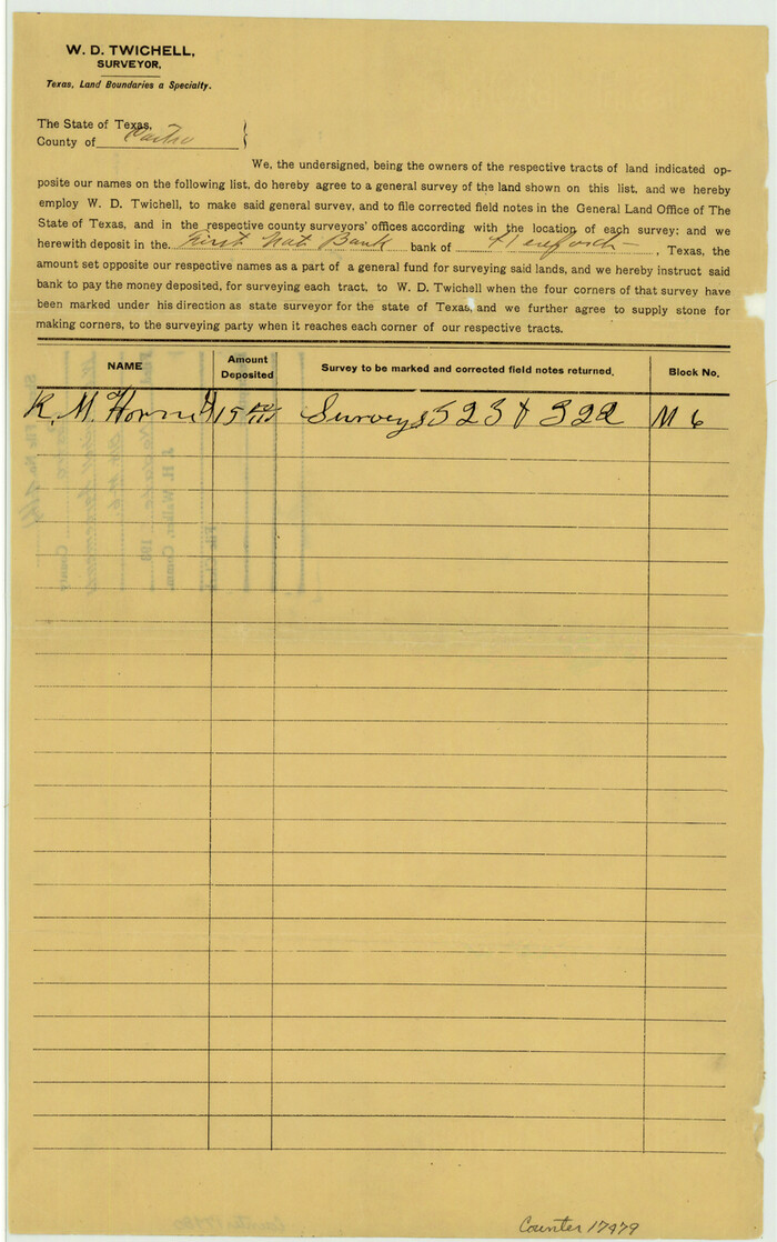
Castro County Sketch File 4h
Size: 13.6 x 8.6 inches
17479
Castro County Sketch File 4j


Print $4.00
- Digital $50.00
Castro County Sketch File 4j
Size: 13.5 x 8.7 inches
17483
Castro County Sketch File 4m

Print $4.00
- Digital $50.00
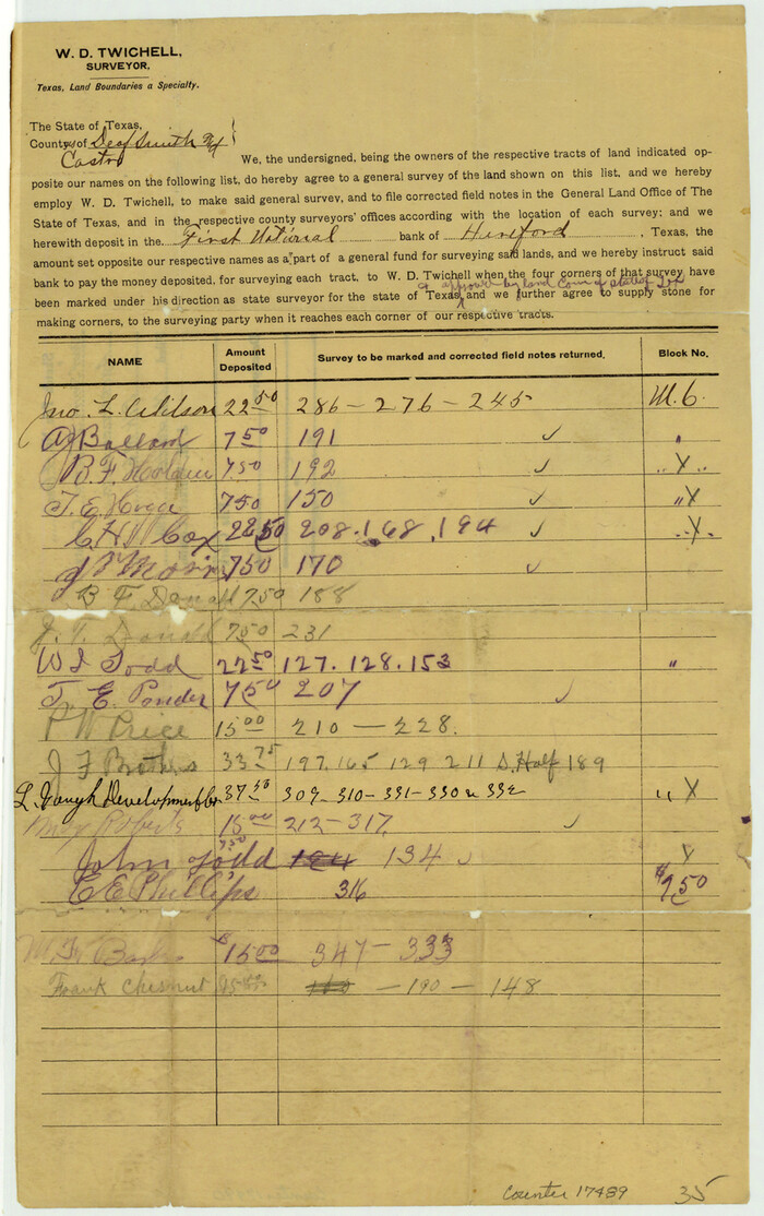
Castro County Sketch File 4m
Size: 13.6 x 8.6 inches
17489
Castro County Sketch File A


Print $20.00
- Digital $50.00
Castro County Sketch File A
1903
Size: 25.8 x 19.4 inches
11064
Castro County Working Sketch 1

Print $20.00
- Digital $50.00
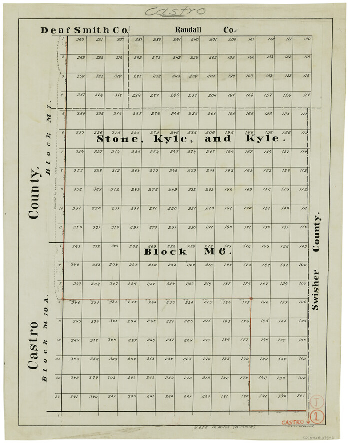
Castro County Working Sketch 1
Size: 22.8 x 17.7 inches
67896
Castro County Working Sketch 2


Print $20.00
- Digital $50.00
Castro County Working Sketch 2
Size: 30.4 x 26.2 inches
67897
Castro County Working Sketch 9
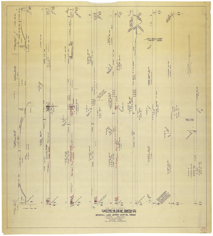

Print $20.00
- Digital $50.00
Castro County Working Sketch 9
1965
Size: 47.1 x 42.7 inches
68646
Dallam County Sketch File 2


Print $260.00
- Digital $50.00
Dallam County Sketch File 2
1886
Size: 29.9 x 17.4 inches
11278
1875 land survey for the International and Great Northern Rail-road Company


Print $40.00
- Digital $50.00
1875 land survey for the International and Great Northern Rail-road Company
1875
-
Size
42.5 x 60.6 inches
-
Map/Doc
2306
-
Creation Date
1875
Block M6 in Castro, Swisher, and Randall Co's, Tex.


Print $20.00
- Digital $50.00
Block M6 in Castro, Swisher, and Randall Co's, Tex.
-
Size
13.8 x 17.2 inches
-
Map/Doc
90397
Capitol Land Reservation


Print $20.00
- Digital $50.00
Capitol Land Reservation
1880
-
Size
43.7 x 34.2 inches
-
Map/Doc
10745
-
Creation Date
1880
Capitol Lands Surveyed by J. T. Munson


Print $20.00
- Digital $50.00
Capitol Lands Surveyed by J. T. Munson
-
Size
14.3 x 13.0 inches
-
Map/Doc
90511
Capitol Lands Surveyed by J. T. Munson


Print $20.00
- Digital $50.00
Capitol Lands Surveyed by J. T. Munson
-
Size
15.5 x 16.7 inches
-
Map/Doc
90524
Capitol Lands Surveyed by J. T. Munson


Print $20.00
- Digital $50.00
Capitol Lands Surveyed by J. T. Munson
-
Size
25.8 x 19.4 inches
-
Map/Doc
90597
Capitol Lands Surveyed by J. T. Munson


Print $20.00
- Digital $50.00
Capitol Lands Surveyed by J. T. Munson
-
Size
22.0 x 19.5 inches
-
Map/Doc
90604
Castro County Rolled Sketch 10


Print $20.00
- Digital $50.00
Castro County Rolled Sketch 10
1908
-
Size
30.6 x 8.9 inches
-
Map/Doc
5419
-
Creation Date
1908
Castro County Rolled Sketch 14


Print $20.00
- Digital $50.00
Castro County Rolled Sketch 14
1965
-
Size
47.6 x 43.5 inches
-
Map/Doc
8608
-
Creation Date
1965
Castro County Rolled Sketch 7


Print $20.00
- Digital $50.00
Castro County Rolled Sketch 7
1908
-
Size
28.9 x 24.1 inches
-
Map/Doc
5417
-
Creation Date
1908
Castro County Rolled Sketch 8


Print $20.00
- Digital $50.00
Castro County Rolled Sketch 8
-
Size
34.1 x 28.8 inches
-
Map/Doc
5418
Castro County Sketch File 1


Print $6.00
- Digital $50.00
Castro County Sketch File 1
1890
-
Size
8.8 x 7.8 inches
-
Map/Doc
17451
-
Creation Date
1890
Castro County Sketch File 18


Print $20.00
- Digital $50.00
Castro County Sketch File 18
1988
-
Size
40.4 x 37.7 inches
-
Map/Doc
10330
-
Creation Date
1988
Castro County Sketch File 1a


Print $8.00
- Digital $50.00
Castro County Sketch File 1a
-
Size
8.6 x 14.0 inches
-
Map/Doc
17454
Castro County Sketch File 2


Print $20.00
- Digital $50.00
Castro County Sketch File 2
-
Size
24.7 x 17.7 inches
-
Map/Doc
11057
Castro County Sketch File 3


Print $4.00
- Digital $50.00
Castro County Sketch File 3
1902
-
Size
11.2 x 8.9 inches
-
Map/Doc
17458
-
Creation Date
1902
Castro County Sketch File 4h


Print $4.00
- Digital $50.00
Castro County Sketch File 4h
-
Size
13.6 x 8.6 inches
-
Map/Doc
17479
Castro County Sketch File 4j


Print $4.00
- Digital $50.00
Castro County Sketch File 4j
-
Size
13.5 x 8.7 inches
-
Map/Doc
17483
Castro County Sketch File 4m


Print $4.00
- Digital $50.00
Castro County Sketch File 4m
-
Size
13.6 x 8.6 inches
-
Map/Doc
17489
Castro County Sketch File A


Print $20.00
- Digital $50.00
Castro County Sketch File A
1903
-
Size
25.8 x 19.4 inches
-
Map/Doc
11064
-
Creation Date
1903
Castro County Working Sketch 1


Print $20.00
- Digital $50.00
Castro County Working Sketch 1
-
Size
22.8 x 17.7 inches
-
Map/Doc
67896
Castro County Working Sketch 2


Print $20.00
- Digital $50.00
Castro County Working Sketch 2
-
Size
30.4 x 26.2 inches
-
Map/Doc
67897
Castro County Working Sketch 9


Print $20.00
- Digital $50.00
Castro County Working Sketch 9
1965
-
Size
47.1 x 42.7 inches
-
Map/Doc
68646
-
Creation Date
1965
Dallam County Sketch File 2


Print $260.00
- Digital $50.00
Dallam County Sketch File 2
1886
-
Size
29.9 x 17.4 inches
-
Map/Doc
11278
-
Creation Date
1886
Deaf Smith
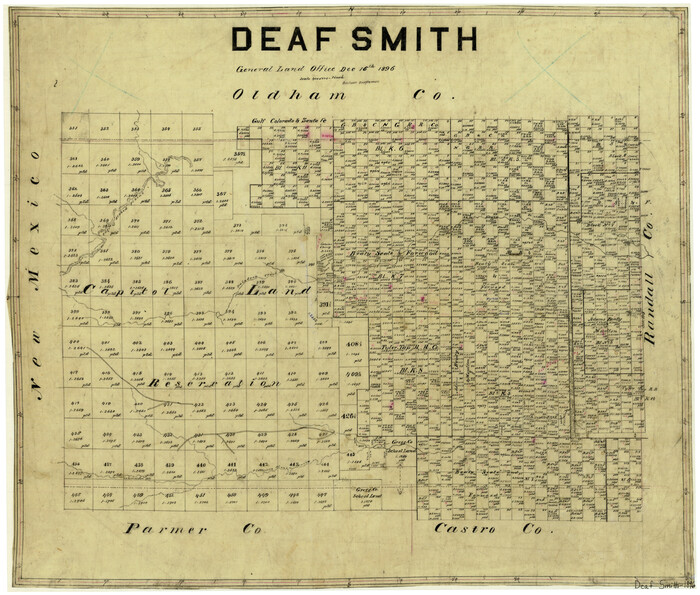

Print $20.00
- Digital $50.00
Deaf Smith
1896
-
Size
23.8 x 28.1 inches
-
Map/Doc
3470
-
Creation Date
1896
Deaf Smith


Print $20.00
- Digital $50.00
Deaf Smith
1881
-
Size
21.9 x 25.6 inches
-
Map/Doc
3471
-
Creation Date
1881
Deaf Smith
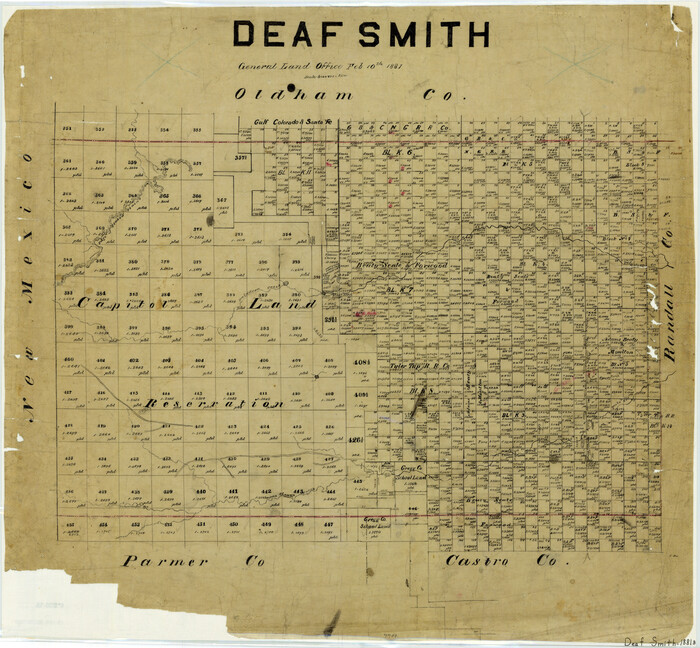

Print $20.00
- Digital $50.00
Deaf Smith
1881
-
Size
25.1 x 27.5 inches
-
Map/Doc
4527
-
Creation Date
1881
Deaf Smith
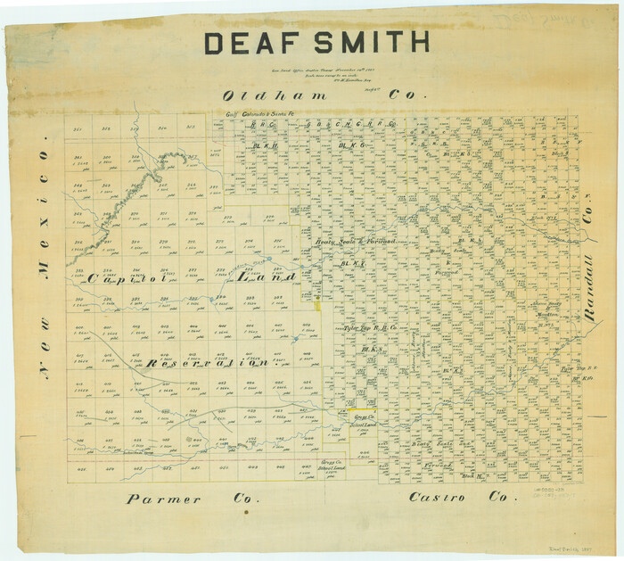

Print $20.00
- Digital $50.00
Deaf Smith
1887
-
Size
24.7 x 27.5 inches
-
Map/Doc
66800
-
Creation Date
1887
Deaf Smith Co.
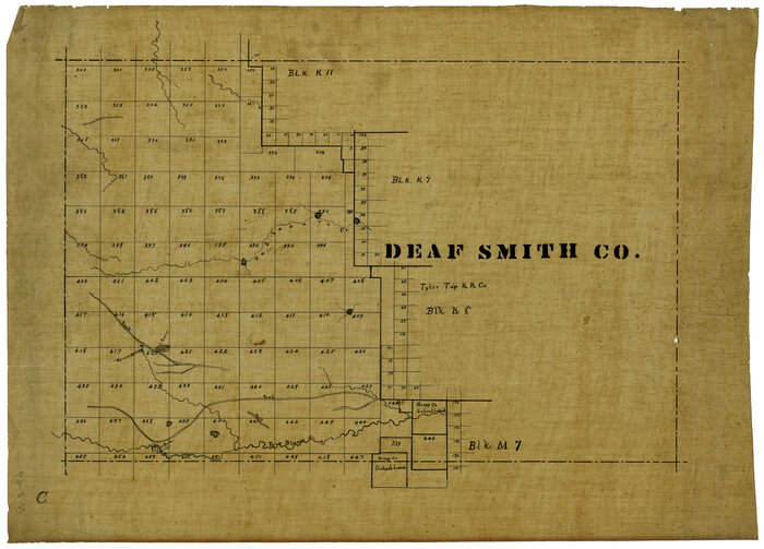

Print $20.00
- Digital $50.00
Deaf Smith Co.
1910
-
Size
20.2 x 28.1 inches
-
Map/Doc
1767
-
Creation Date
1910
Deaf Smith Co.
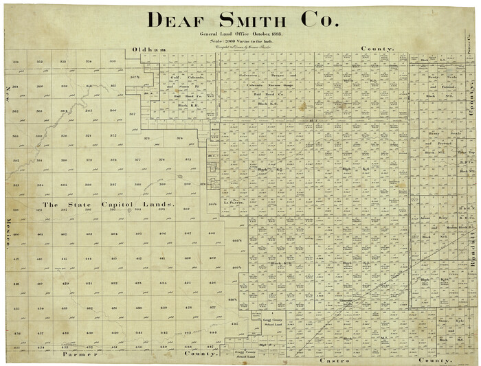

Print $40.00
- Digital $50.00
Deaf Smith Co.
1898
-
Size
37.2 x 48.8 inches
-
Map/Doc
4930
-
Creation Date
1898