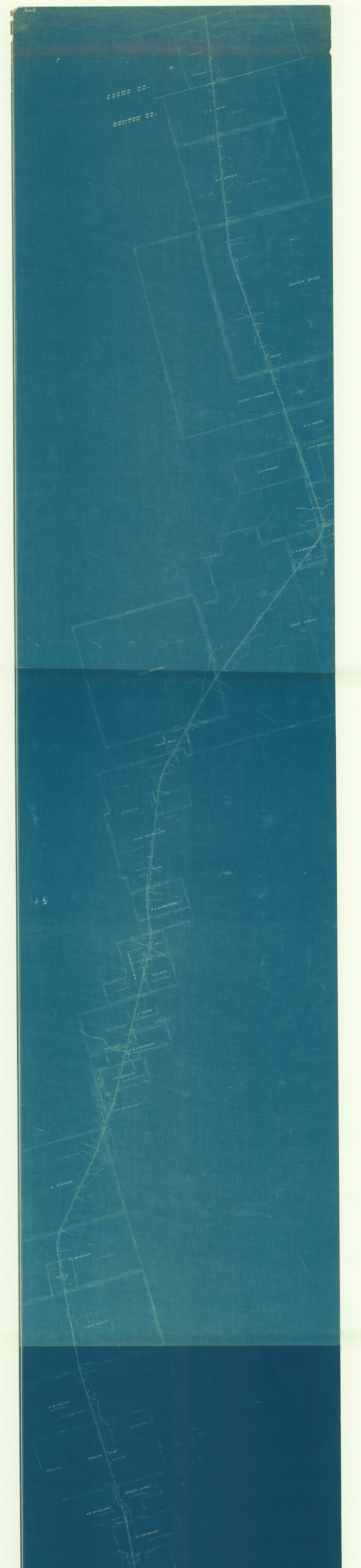
[Unidentified Railroad through Denton and Dallas County]

Print $40.00
- Digital $50.00
[Unidentified Railroad through Denton and Dallas County]
Size: 6.8 x 121.3 inches
64774
[Unidentified Railroad through Denton and Dallas County]

Print $40.00
- Digital $50.00
[Unidentified Railroad through Denton and Dallas County]
Size: 6.8 x 73.3 inches
64775
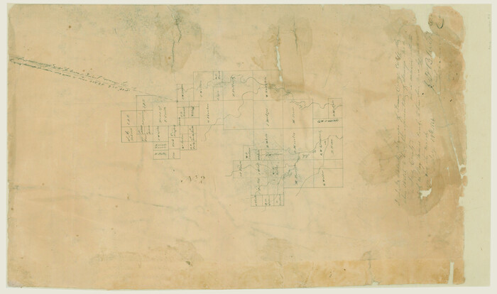
[Surveys along Trinity River]
Print $20.00
- Digital $50.00
[Surveys along Trinity River]
1844
Size: 21.4 x 12.6 inches
7
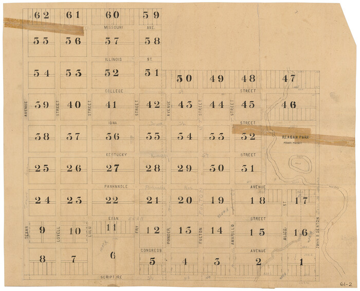
[Scripture Addition to the City of Denton]
Print $20.00
- Digital $50.00
[Scripture Addition to the City of Denton]
Size: 35.4 x 31.4 inches
90586
[Scripture Addition to the City of Denton]
Print $20.00
- Digital $50.00
[Scripture Addition to the City of Denton]
Size: 27.3 x 22.0 inches
90587
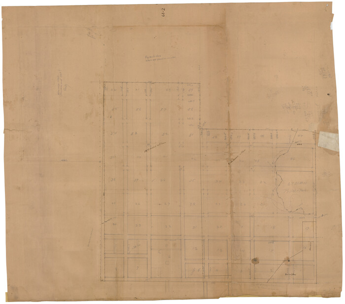
[Map of Located Land of Gulf, Colorado & Santa Fe Ry. Co. through Denton]
Print $40.00
- Digital $50.00
[Map of Located Land of Gulf, Colorado & Santa Fe Ry. Co. through Denton]
Size: 122.8 x 28.3 inches
64340
[Map of Denton County]
Print $20.00
- Digital $50.00
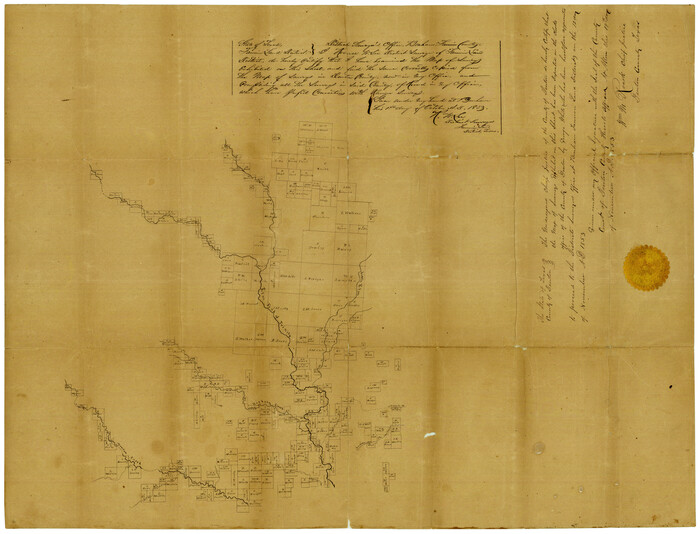
[Map of Denton County]
1853
Size: 24.5 x 29.1 inches
4529
Wise County Sketch File F

Print $20.00
- Digital $50.00
Wise County Sketch File F
1857
Size: 16.2 x 29.2 inches
12704
Wise County Sketch File 8

Print $4.00
- Digital $50.00
Wise County Sketch File 8
1855
Size: 12.2 x 7.8 inches
40537
Wise County Sketch File 5

Print $6.00
- Digital $50.00
Wise County Sketch File 5
1856
Size: 8.2 x 14.0 inches
40531
Wise County Sketch File 25

Print $4.00
- Digital $50.00
Wise County Sketch File 25
1860
Size: 12.5 x 8.1 inches
40572
Trinity River, Wire Bridge Sheet/Denton Creek

Print $6.00
- Digital $50.00
Trinity River, Wire Bridge Sheet/Denton Creek
1938
Size: 30.4 x 29.7 inches
65244
Trinity River, Grapevine Sheet/Denton Creek

Print $6.00
- Digital $50.00
Trinity River, Grapevine Sheet/Denton Creek
1938
Size: 22.2 x 34.7 inches
65243
Trinity River, Drop Sheet/Denton Creek

Print $20.00
- Digital $50.00
Trinity River, Drop Sheet/Denton Creek
1940
Size: 36.9 x 34.0 inches
65257
Tarrant County Working Sketch 15

Print $20.00
- Digital $50.00
Tarrant County Working Sketch 15
1989
Size: 33.0 x 38.3 inches
62432
Tarrant County Working Sketch 13

Print $20.00
- Digital $50.00
Tarrant County Working Sketch 13
1987
Size: 22.4 x 30.8 inches
62430
Tarrant County Sketch File 8

Print $4.00
- Digital $50.00
Tarrant County Sketch File 8
1858
Size: 8.1 x 10.1 inches
37687
Tarrant County Sketch File 6

Print $4.00
- Digital $50.00
Tarrant County Sketch File 6
1859
Size: 6.8 x 8.3 inches
37682
Tarrant County Sketch File 31

Print $20.00
- Digital $50.00
Tarrant County Sketch File 31
Size: 27.2 x 39.3 inches
10380
Tarrant County Sketch File 22

Print $9.00
- Digital $50.00
Tarrant County Sketch File 22
1860
Size: 10.3 x 8.9 inches
37729
Tarrant County Sketch File 10a

Print $6.00
- Digital $50.00
Tarrant County Sketch File 10a
1860
Size: 10.3 x 8.1 inches
37691
Tarrant County Sketch File 10

Print $8.00
- Digital $50.00
Tarrant County Sketch File 10
1859
Size: 12.9 x 8.4 inches
37694
Reclamation & Navigation Map of Trinity River Flood Plain

Print $40.00
- Digital $50.00
Reclamation & Navigation Map of Trinity River Flood Plain
1930
Size: 24.3 x 75.8 inches
65178
Montague County Sketch File 16

Print $20.00
- Digital $50.00
Montague County Sketch File 16
1853
Size: 32.5 x 29.2 inches
10546
Map of the Scripture Addition to the City of Denton

Print $20.00
- Digital $50.00
Map of the Scripture Addition to the City of Denton
Size: 31.5 x 27.8 inches
90589
Map of the Recognised Line, M. El. P. & P. RR. from Texas & Arkansas State Line to Milam & Bexar Land District Line

Print $40.00
- Digital $50.00
Map of the Recognised Line, M. El. P. & P. RR. from Texas & Arkansas State Line to Milam & Bexar Land District Line
Size: 15.3 x 89.4 inches
64638
Map of the Lands Surveyed by the Memphis, El Paso & Pacific R.R. Company

Print $20.00
- Digital $50.00
Map of the Lands Surveyed by the Memphis, El Paso & Pacific R.R. Company
1860
Size: 20.1 x 20.8 inches
4848
Map of The Surveyed Part of Peters Colony Texas

Print $40.00
- Digital $50.00
Map of The Surveyed Part of Peters Colony Texas
1852
Size: 54.0 x 28.8 inches
3155
Map of Located Land of Gulf, Colorado & Santa Fe Ry. Co. through Denton

Print $40.00
- Digital $50.00
Map of Located Land of Gulf, Colorado & Santa Fe Ry. Co. through Denton
Size: 55.5 x 25.8 inches
64341
Map of Fannin County

Print $20.00
- Digital $50.00
Map of Fannin County
1845
Size: 34.7 x 36.5 inches
16827
[Unidentified Railroad through Denton and Dallas County]
Print $40.00
- Digital $50.00
[Unidentified Railroad through Denton and Dallas County]
-
Size
6.8 x 121.3 inches
-
Map/Doc
64774
[Unidentified Railroad through Denton and Dallas County]
Print $40.00
- Digital $50.00
[Unidentified Railroad through Denton and Dallas County]
-
Size
6.8 x 73.3 inches
-
Map/Doc
64775
[Surveys along Trinity River]
Print $20.00
- Digital $50.00
[Surveys along Trinity River]
1844
-
Size
21.4 x 12.6 inches
-
Map/Doc
7
-
Creation Date
1844
[Scripture Addition to the City of Denton]
Print $20.00
- Digital $50.00
[Scripture Addition to the City of Denton]
-
Size
35.4 x 31.4 inches
-
Map/Doc
90586
[Scripture Addition to the City of Denton]
Print $20.00
- Digital $50.00
[Scripture Addition to the City of Denton]
-
Size
27.3 x 22.0 inches
-
Map/Doc
90587
[Map of Located Land of Gulf, Colorado & Santa Fe Ry. Co. through Denton]
Print $40.00
- Digital $50.00
[Map of Located Land of Gulf, Colorado & Santa Fe Ry. Co. through Denton]
-
Size
122.8 x 28.3 inches
-
Map/Doc
64340
[Map of Denton County]
Print $20.00
- Digital $50.00
[Map of Denton County]
1853
-
Size
24.5 x 29.1 inches
-
Map/Doc
4529
-
Creation Date
1853
Wise County Sketch File F
Print $20.00
- Digital $50.00
Wise County Sketch File F
1857
-
Size
16.2 x 29.2 inches
-
Map/Doc
12704
-
Creation Date
1857
Wise County Sketch File 8
Print $4.00
- Digital $50.00
Wise County Sketch File 8
1855
-
Size
12.2 x 7.8 inches
-
Map/Doc
40537
-
Creation Date
1855
Wise County Sketch File 5
Print $6.00
- Digital $50.00
Wise County Sketch File 5
1856
-
Size
8.2 x 14.0 inches
-
Map/Doc
40531
-
Creation Date
1856
Wise County Sketch File 25
Print $4.00
- Digital $50.00
Wise County Sketch File 25
1860
-
Size
12.5 x 8.1 inches
-
Map/Doc
40572
-
Creation Date
1860
Trinity River, Wire Bridge Sheet/Denton Creek
Print $6.00
- Digital $50.00
Trinity River, Wire Bridge Sheet/Denton Creek
1938
-
Size
30.4 x 29.7 inches
-
Map/Doc
65244
-
Creation Date
1938
Trinity River, Grapevine Sheet/Denton Creek
Print $6.00
- Digital $50.00
Trinity River, Grapevine Sheet/Denton Creek
1938
-
Size
22.2 x 34.7 inches
-
Map/Doc
65243
-
Creation Date
1938
Trinity River, Drop Sheet/Denton Creek
Print $20.00
- Digital $50.00
Trinity River, Drop Sheet/Denton Creek
1940
-
Size
36.9 x 34.0 inches
-
Map/Doc
65257
-
Creation Date
1940
Tarrant County Working Sketch 15
Print $20.00
- Digital $50.00
Tarrant County Working Sketch 15
1989
-
Size
33.0 x 38.3 inches
-
Map/Doc
62432
-
Creation Date
1989
Tarrant County Working Sketch 13
Print $20.00
- Digital $50.00
Tarrant County Working Sketch 13
1987
-
Size
22.4 x 30.8 inches
-
Map/Doc
62430
-
Creation Date
1987
Tarrant County Sketch File 8
Print $4.00
- Digital $50.00
Tarrant County Sketch File 8
1858
-
Size
8.1 x 10.1 inches
-
Map/Doc
37687
-
Creation Date
1858
Tarrant County Sketch File 6
Print $4.00
- Digital $50.00
Tarrant County Sketch File 6
1859
-
Size
6.8 x 8.3 inches
-
Map/Doc
37682
-
Creation Date
1859
Tarrant County Sketch File 31
Print $20.00
- Digital $50.00
Tarrant County Sketch File 31
-
Size
27.2 x 39.3 inches
-
Map/Doc
10380
Tarrant County Sketch File 22
Print $9.00
- Digital $50.00
Tarrant County Sketch File 22
1860
-
Size
10.3 x 8.9 inches
-
Map/Doc
37729
-
Creation Date
1860
Tarrant County Sketch File 10a
Print $6.00
- Digital $50.00
Tarrant County Sketch File 10a
1860
-
Size
10.3 x 8.1 inches
-
Map/Doc
37691
-
Creation Date
1860
Tarrant County Sketch File 10
Print $8.00
- Digital $50.00
Tarrant County Sketch File 10
1859
-
Size
12.9 x 8.4 inches
-
Map/Doc
37694
-
Creation Date
1859
Reclamation & Navigation Map of Trinity River Flood Plain
Print $40.00
- Digital $50.00
Reclamation & Navigation Map of Trinity River Flood Plain
1930
-
Size
24.3 x 75.8 inches
-
Map/Doc
65178
-
Creation Date
1930
Montague County Sketch File 16
Print $20.00
- Digital $50.00
Montague County Sketch File 16
1853
-
Size
32.5 x 29.2 inches
-
Map/Doc
10546
-
Creation Date
1853
Map of the Scripture Addition to the City of Denton
Print $20.00
- Digital $50.00
Map of the Scripture Addition to the City of Denton
-
Size
31.5 x 27.8 inches
-
Map/Doc
90589
Map of the Recognised Line, M. El. P. & P. RR. from Texas & Arkansas State Line to Milam & Bexar Land District Line
Print $40.00
- Digital $50.00
Map of the Recognised Line, M. El. P. & P. RR. from Texas & Arkansas State Line to Milam & Bexar Land District Line
-
Size
15.3 x 89.4 inches
-
Map/Doc
64638
Map of the Lands Surveyed by the Memphis, El Paso & Pacific R.R. Company
Print $20.00
- Digital $50.00
Map of the Lands Surveyed by the Memphis, El Paso & Pacific R.R. Company
1860
-
Size
20.1 x 20.8 inches
-
Map/Doc
4848
-
Creation Date
1860
Map of The Surveyed Part of Peters Colony Texas
Print $40.00
- Digital $50.00
Map of The Surveyed Part of Peters Colony Texas
1852
-
Size
54.0 x 28.8 inches
-
Map/Doc
3155
-
Creation Date
1852
Map of Located Land of Gulf, Colorado & Santa Fe Ry. Co. through Denton
Print $40.00
- Digital $50.00
Map of Located Land of Gulf, Colorado & Santa Fe Ry. Co. through Denton
-
Size
55.5 x 25.8 inches
-
Map/Doc
64341
Map of Fannin County
Print $20.00
- Digital $50.00
Map of Fannin County
1845
-
Size
34.7 x 36.5 inches
-
Map/Doc
16827
-
Creation Date
1845