150 results

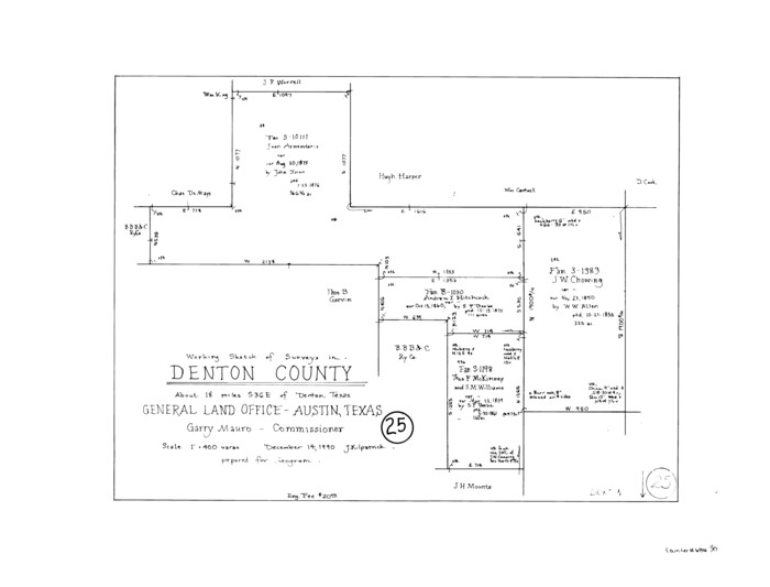
Denton County Working Sketch 39
95323.tif
Print $20.00 - Digital $50.00

Denton County Working Sketch 39

2018
Size: 24.2 x 35.4 inches
95323
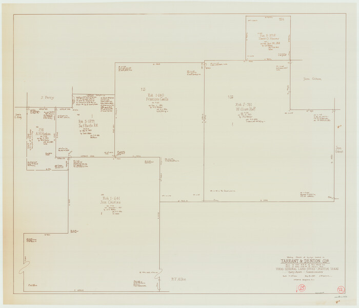
Denton County Working Sketch 38
89571.tif
Print $20.00 - Digital $50.00

Denton County Working Sketch 38

2010

Size: 23.4 x 29.5 inches
89571
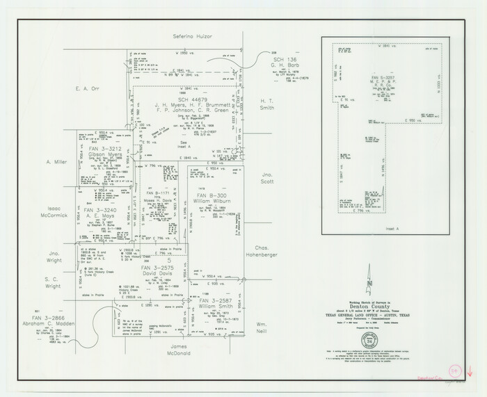
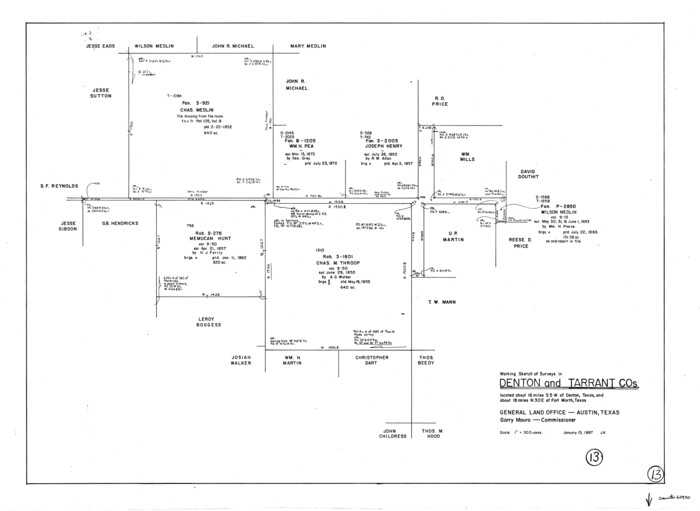
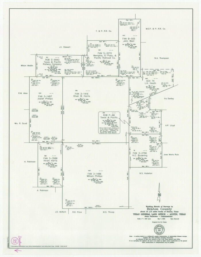
Denton County Working Sketch 35
88821.tif
Print $20.00 - Digital $50.00

Denton County Working Sketch 35

2008

Size: 24.7 x 19.3 inches
88821
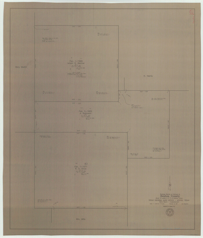
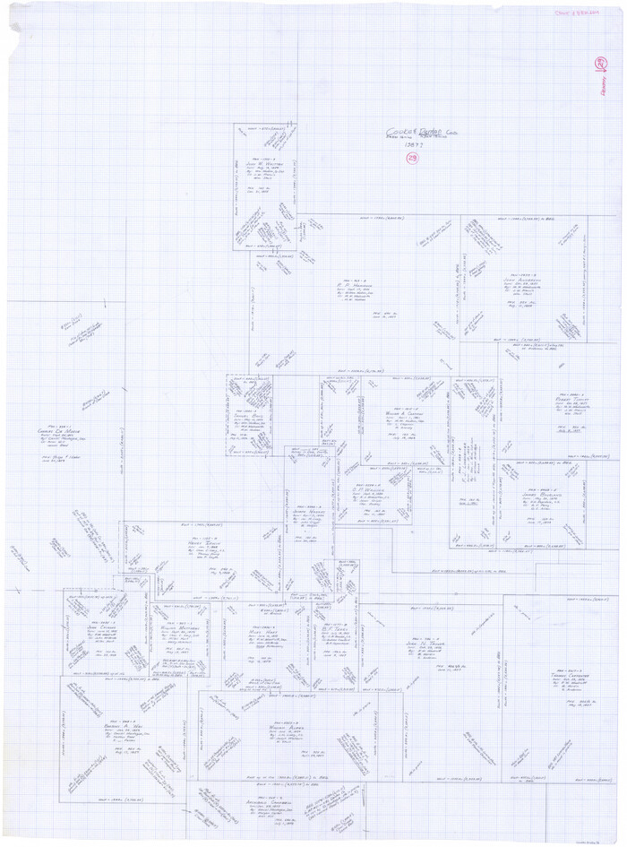
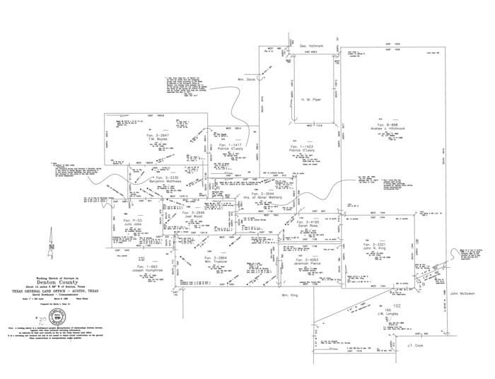
Denton County Working Sketch 36
88877-1.tif
Print $5.00 - Digital $50.00

Denton County Working Sketch 36

2008
Size: 18.5 x 29.0 inches
88877
Dallas County Boundary File 9
Print $6.00 - Digital $50.00

Dallas County Boundary File 9

2008

88850
Denton County Rolled Sketch 7
87941.tif
Print $20.00 - Digital $50.00

Denton County Rolled Sketch 7

2007

Size: 24.5 x 19.3 inches
87941
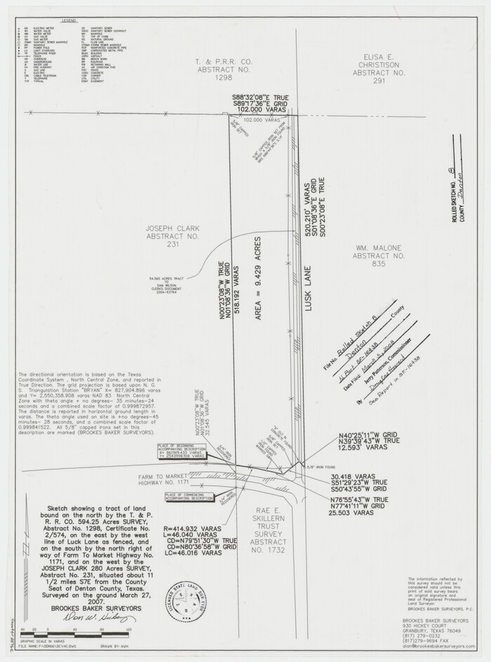
Denton County Rolled Sketch 8
88762.tif
Print $20.00 - Digital $50.00

Denton County Rolled Sketch 8

2007

Size: 24.5 x 18.2 inches
88762
Denton County Sketch File 43
Print $20.00 - Digital $50.00

Denton County Sketch File 43

2006

Size: 11.0 x 8.5 inches
83610
Denton County Working Sketch 34
83570.tif
Print $5.00 - Digital $50.00

Denton County Working Sketch 34

2005

Size: 22.2 x 27.3 inches
83570
Cooke County Sketch File 46
82578, Cooke County Sketch File 46, General Map Collection
Print $36.00 - Digital $50.00

Cooke County Sketch File 46

2002

Size: 10.5 x 8.0 inches
82578
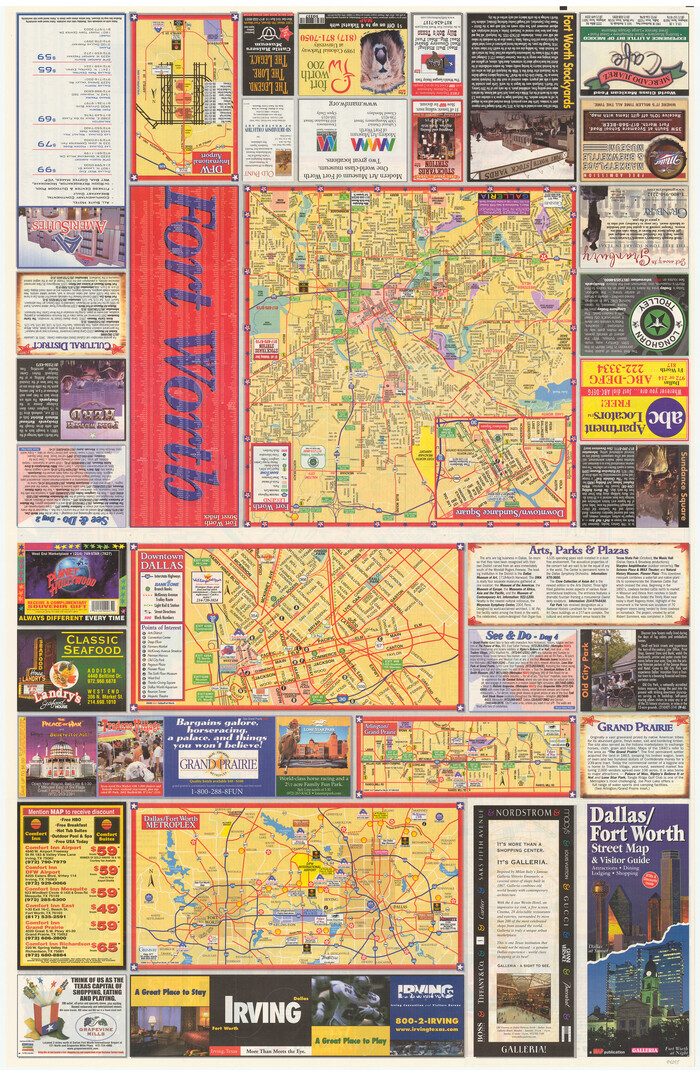
Dallas/Fort Worth Street Map & Visitor Guide
94295.tif

Dallas/Fort Worth Street Map & Visitor Guide

2000
Size: 35.6 x 23.2 inches
94295
Denton County Rolled Sketch 6
5702.tif
Print $20.00 - Digital $50.00

Denton County Rolled Sketch 6

1983

Size: 25.4 x 37.2 inches
5702
Denton County Rolled Sketch 4
5701.tif
Print $20.00 - Digital $50.00

Denton County Rolled Sketch 4

1973

Size: 22.7 x 39.3 inches
5701
Denton County Rolled Sketch 5
08776.tif
Print $20.00 - Digital $50.00

Denton County Rolled Sketch 5

1973

Size: 31.9 x 36.6 inches
8776
General Highway Map, Denton County, Texas
79441.tif
Print $20.00

General Highway Map, Denton County, Texas

1961

Size: 18.2 x 24.5 inches
79441
Denton County Sketch File 42
20792, Denton County Sketch File 42, General Map Collection
Print $4.00 - Digital $50.00

Denton County Sketch File 42

1960

Size: 11.4 x 8.9 inches
20792
Denton County Rolled Sketch 3
5700.tif
Print $20.00 - Digital $50.00

Denton County Rolled Sketch 3

1959

Size: 39.1 x 23.9 inches
5700
Denton County
1817.tif
Print $20.00 - Digital $50.00

Denton County

1947

Size: 42.1 x 38.6 inches
1817
Denton County
73130.tif
Print $20.00 - Digital $50.00

Denton County

1947

Size: 42.5 x 39.7 inches
73130
Denton County
77262.tif
Print $20.00 - Digital $50.00

Denton County

1947

Size: 40.7 x 37.2 inches
77262
Denton County
95480.tif
Print $20.00 - Digital $50.00

Denton County

1947

Size: 43.4 x 39.9 inches
95480
Denton County Working Sketch Graphic Index
76521-1.tif
Print $20.00 - Digital $50.00

Denton County Working Sketch Graphic Index

1947

Size: 41.5 x 38.5 inches
76521
Trinity River, Drop Sheet/Denton Creek
65257.tif
Print $20.00 - Digital $50.00

Trinity River, Drop Sheet/Denton Creek

1940

Size: 36.9 x 34.0 inches
65257
General Highway Map, Denton County, Texas
79074.tif
Print $20.00

General Highway Map, Denton County, Texas

1939

Size: 18.5 x 25.3 inches
79074
Trinity River, Grapevine Sheet/Denton Creek
65243.tif
Print $6.00 - Digital $50.00

Trinity River, Grapevine Sheet/Denton Creek

1938

Size: 22.2 x 34.7 inches
65243
Trinity River, Wire Bridge Sheet/Denton Creek
65244.tif
Print $6.00 - Digital $50.00

Trinity River, Wire Bridge Sheet/Denton Creek

1938

Size: 30.4 x 29.7 inches
65244
Denton County Sketch File 39
20781, Denton County Sketch File 39, General Map Collection
Print $16.00 - Digital $50.00

Denton County Sketch File 39

1934

Size: 7.8 x 8.9 inches
20781
Denton County Sketch File 38
20778, Denton County Sketch File 38, General Map Collection
Print $26.00 - Digital $50.00

Denton County Sketch File 38

1934

Size: 11.4 x 8.9 inches
20778
Denton County Rolled Sketch 2
8338.tif
Print $40.00 - Digital $50.00

Denton County Rolled Sketch 2

1933

Size: 47.1 x 53.5 inches
8338
Denton County Sketch File 37
20776, Denton County Sketch File 37, General Map Collection
Print $24.00 - Digital $50.00

Denton County Sketch File 37

1932

Size: 11.5 x 8.9 inches
20776
Denton County Working Sketch 39
95323, Denton County Working Sketch 39, General Map Collection
Print $20.00 - Digital $50.00

Denton County Working Sketch 39

2018

  • Size

    24.2 x 35.4 inches

  • Map/Doc

    95323

  • Creation Date

    2018

Denton County Working Sketch 38
89571, Denton County Working Sketch 38, General Map Collection
Print $20.00 - Digital $50.00

Denton County Working Sketch 38

2010

  • Size

    23.4 x 29.5 inches

  • Map/Doc

    89571

  • Creation Date

    2010

Denton County Working Sketch 35
88821, Denton County Working Sketch 35, General Map Collection
Print $20.00 - Digital $50.00

Denton County Working Sketch 35

2008

  • Size

    24.7 x 19.3 inches

  • Map/Doc

    88821

  • Creation Date

    2008

Denton County Working Sketch 36
88877, Denton County Working Sketch 36, General Map Collection
Print $5.00 - Digital $50.00

Denton County Working Sketch 36

2008

  • Size

    18.5 x 29.0 inches

  • Map/Doc

    88877

  • Creation Date

    2008

Dallas County Boundary File 9
Print $6.00 - Digital $50.00

Dallas County Boundary File 9

2008

  • Map/Doc

    88850

  • Creation Date

    2008

Denton County Rolled Sketch 7
87941, Denton County Rolled Sketch 7, General Map Collection
Print $20.00 - Digital $50.00

Denton County Rolled Sketch 7

2007

  • Size

    24.5 x 19.3 inches

  • Map/Doc

    87941

  • Creation Date

    2007

Denton County Rolled Sketch 8
88762, Denton County Rolled Sketch 8, General Map Collection
Print $20.00 - Digital $50.00

Denton County Rolled Sketch 8

2007

  • Size

    24.5 x 18.2 inches

  • Map/Doc

    88762

  • Creation Date

    2007

Denton County Sketch File 43
Print $20.00 - Digital $50.00

Denton County Sketch File 43

2006

  • Size

    11.0 x 8.5 inches

  • Map/Doc

    83610

  • Creation Date

    2006

Denton County Working Sketch 34
83570, Denton County Working Sketch 34, General Map Collection
Print $5.00 - Digital $50.00

Denton County Working Sketch 34

2005

  • Size

    22.2 x 27.3 inches

  • Map/Doc

    83570

  • Creation Date

    2005

Cooke County Sketch File 46
82578, Cooke County Sketch File 46, General Map Collection
Print $36.00 - Digital $50.00

Cooke County Sketch File 46

2002

  • Size

    10.5 x 8.0 inches

  • Map/Doc

    82578

  • Creation Date

    2002

Dallas/Fort Worth Street Map & Visitor Guide
94295, Dallas/Fort Worth Street Map & Visitor Guide, General Map Collection

Dallas/Fort Worth Street Map & Visitor Guide

2000

  • Size

    35.6 x 23.2 inches

  • Map/Doc

    94295

  • Creation Date

    2000

Denton County Rolled Sketch 6
5702, Denton County Rolled Sketch 6, General Map Collection
Print $20.00 - Digital $50.00

Denton County Rolled Sketch 6

1983

  • Size

    25.4 x 37.2 inches

  • Map/Doc

    5702

  • Creation Date

    1983

Denton County Rolled Sketch 4
5701, Denton County Rolled Sketch 4, General Map Collection
Print $20.00 - Digital $50.00

Denton County Rolled Sketch 4

1973

  • Size

    22.7 x 39.3 inches

  • Map/Doc

    5701

  • Creation Date

    1973

Denton County Rolled Sketch 5
8776, Denton County Rolled Sketch 5, General Map Collection
Print $20.00 - Digital $50.00

Denton County Rolled Sketch 5

1973

  • Size

    31.9 x 36.6 inches

  • Map/Doc

    8776

  • Creation Date

    1973

General Highway Map, Denton County, Texas
79441, General Highway Map, Denton County, Texas, Texas State Library and Archives
Print $20.00

General Highway Map, Denton County, Texas

1961

  • Size

    18.2 x 24.5 inches

  • Map/Doc

    79441

  • Creation Date

    1961

Denton County Sketch File 42
20792, Denton County Sketch File 42, General Map Collection
Print $4.00 - Digital $50.00

Denton County Sketch File 42

1960

  • Size

    11.4 x 8.9 inches

  • Map/Doc

    20792

  • Creation Date

    1960

Denton County Rolled Sketch 3
5700, Denton County Rolled Sketch 3, General Map Collection
Print $20.00 - Digital $50.00

Denton County Rolled Sketch 3

1959

  • Size

    39.1 x 23.9 inches

  • Map/Doc

    5700

  • Creation Date

    1959

Denton County
1817, Denton County, General Map Collection
Print $20.00 - Digital $50.00

Denton County

1947

  • Size

    42.1 x 38.6 inches

  • Map/Doc

    1817

  • Creation Date

    1947

Denton County
73130, Denton County, General Map Collection
Print $20.00 - Digital $50.00

Denton County

1947

  • Size

    42.5 x 39.7 inches

  • Map/Doc

    73130

  • Creation Date

    1947

Denton County
77262, Denton County, General Map Collection
Print $20.00 - Digital $50.00

Denton County

1947

  • Size

    40.7 x 37.2 inches

  • Map/Doc

    77262

  • Creation Date

    1947

Denton County
95480, Denton County, General Map Collection
Print $20.00 - Digital $50.00

Denton County

1947

  • Size

    43.4 x 39.9 inches

  • Map/Doc

    95480

  • Creation Date

    1947

Denton County Working Sketch Graphic Index
76521, Denton County Working Sketch Graphic Index, General Map Collection
Print $20.00 - Digital $50.00

Denton County Working Sketch Graphic Index

1947

  • Size

    41.5 x 38.5 inches

  • Map/Doc

    76521

  • Creation Date

    1947

Trinity River, Drop Sheet/Denton Creek
65257, Trinity River, Drop Sheet/Denton Creek, General Map Collection
Print $20.00 - Digital $50.00

Trinity River, Drop Sheet/Denton Creek

1940

  • Size

    36.9 x 34.0 inches

  • Map/Doc

    65257

  • Creation Date

    1940

General Highway Map, Denton County, Texas
79074, General Highway Map, Denton County, Texas, Texas State Library and Archives
Print $20.00

General Highway Map, Denton County, Texas

1939

  • Size

    18.5 x 25.3 inches

  • Map/Doc

    79074

  • Creation Date

    1939

Trinity River, Grapevine Sheet/Denton Creek
65243, Trinity River, Grapevine Sheet/Denton Creek, General Map Collection
Print $6.00 - Digital $50.00

Trinity River, Grapevine Sheet/Denton Creek

1938

  • Size

    22.2 x 34.7 inches

  • Map/Doc

    65243

  • Creation Date

    1938

Trinity River, Wire Bridge Sheet/Denton Creek
65244, Trinity River, Wire Bridge Sheet/Denton Creek, General Map Collection
Print $6.00 - Digital $50.00

Trinity River, Wire Bridge Sheet/Denton Creek

1938

  • Size

    30.4 x 29.7 inches

  • Map/Doc

    65244

  • Creation Date

    1938

Denton County Sketch File 39
20781, Denton County Sketch File 39, General Map Collection
Print $16.00 - Digital $50.00

Denton County Sketch File 39

1934

  • Size

    7.8 x 8.9 inches

  • Map/Doc

    20781

  • Creation Date

    1934

Denton County Sketch File 38
20778, Denton County Sketch File 38, General Map Collection
Print $26.00 - Digital $50.00

Denton County Sketch File 38

1934

  • Size

    11.4 x 8.9 inches

  • Map/Doc

    20778

  • Creation Date

    1934

Denton County Rolled Sketch 2
8338, Denton County Rolled Sketch 2, General Map Collection
Print $40.00 - Digital $50.00

Denton County Rolled Sketch 2

1933

  • Size

    47.1 x 53.5 inches

  • Map/Doc

    8338

  • Creation Date

    1933

Denton County Sketch File 37
20776, Denton County Sketch File 37, General Map Collection
Print $24.00 - Digital $50.00

Denton County Sketch File 37

1932

  • Size

    11.5 x 8.9 inches

  • Map/Doc

    20776

  • Creation Date

    1932