Cooke County Sketch File 3a


Print $20.00
- Digital $50.00
Cooke County Sketch File 3a
Size: 18.8 x 10.4 inches
11170
Cooke County Sketch File 40


Print $20.00
- Digital $50.00
Cooke County Sketch File 40
Size: 36.3 x 34.0 inches
10341
Cooke County Sketch File 46


Print $36.00
- Digital $50.00
Cooke County Sketch File 46
2002
Size: 10.5 x 8.0 inches
82578
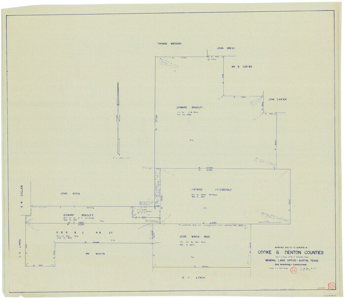
Cooke County Working Sketch 26

Print $20.00
- Digital $50.00
Cooke County Working Sketch 26
1974
Size: 33.9 x 39.2 inches
68263
Cooke County Working Sketch 32


Print $20.00
- Digital $50.00
Cooke County Working Sketch 32
1982
Size: 19.0 x 14.8 inches
68269
Dallas/Fort Worth Street Map & Visitor Guide
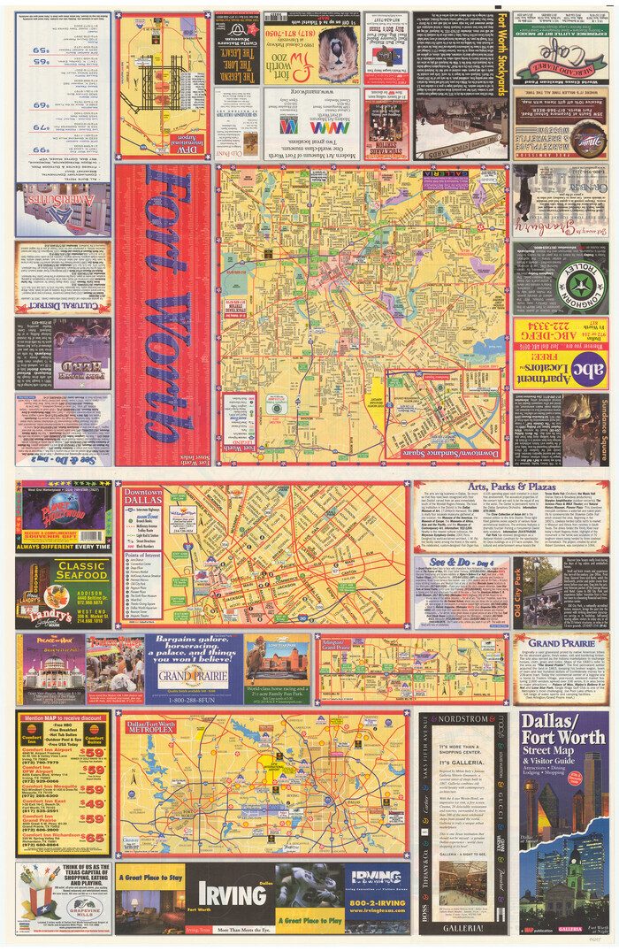

Dallas/Fort Worth Street Map & Visitor Guide
2000
Size: 35.6 x 23.2 inches
94295
Denton County Boundary File 1


Print $14.00
- Digital $50.00
Denton County Boundary File 1
Size: 8.7 x 3.5 inches
52394
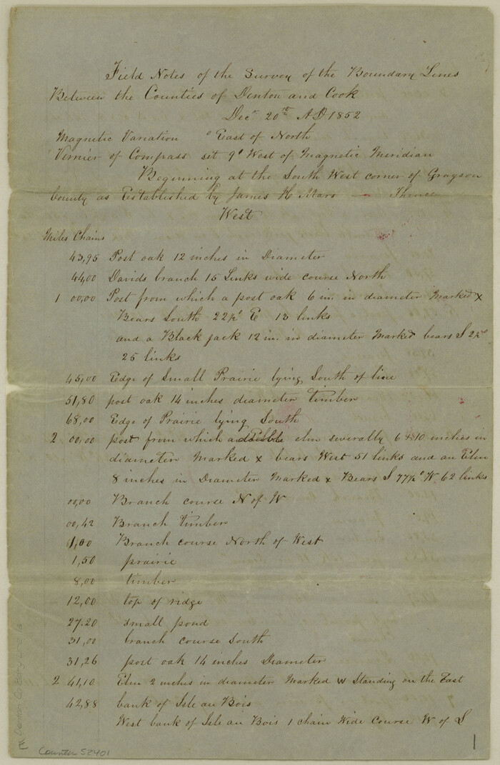
Denton County Boundary File 1a

Print $24.00
- Digital $50.00
Denton County Boundary File 1a
Size: 12.4 x 8.1 inches
52401
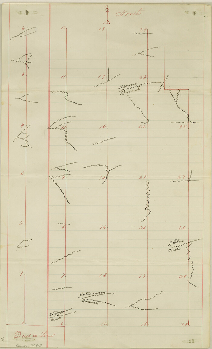
Denton County Boundary File 2

Print $22.00
- Digital $50.00
Denton County Boundary File 2
Size: 14.1 x 8.5 inches
52413
Denton County Boundary File 3


Print $34.00
- Digital $50.00
Denton County Boundary File 3
Size: 6.1 x 3.9 inches
52424
Denton County Boundary File 4 and 4a and 4b and 4c
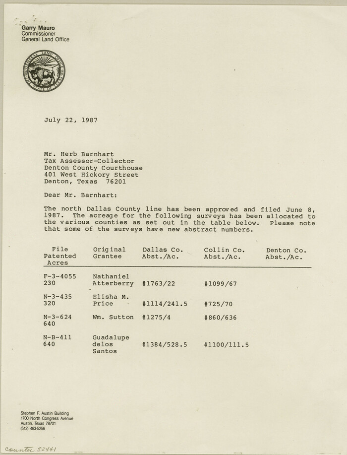

Print $14.00
- Digital $50.00
Denton County Boundary File 4 and 4a and 4b and 4c
Size: 11.2 x 8.5 inches
52441
Denton County Boundary File 4 and 4a and 4b and 4c


Print $168.00
- Digital $50.00
Denton County Boundary File 4 and 4a and 4b and 4c
Size: 11.1 x 8.6 inches
52448
Denton County Boundary File 4 and 4a and 4b and 4c
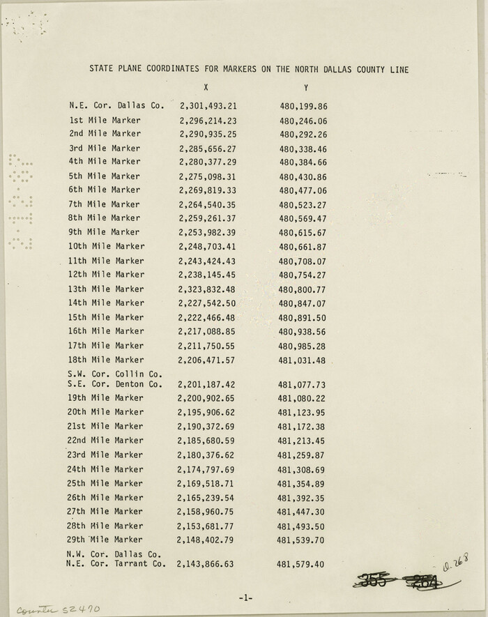

Print $2.00
- Digital $50.00
Denton County Boundary File 4 and 4a and 4b and 4c
Size: 11.0 x 8.7 inches
52470
Denton County Rolled Sketch 2
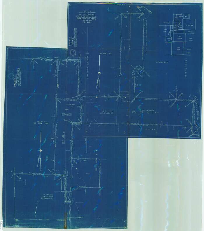

Print $40.00
- Digital $50.00
Denton County Rolled Sketch 2
1933
Size: 47.1 x 53.5 inches
8338
Denton County Rolled Sketch 3


Print $20.00
- Digital $50.00
Denton County Rolled Sketch 3
1959
Size: 39.1 x 23.9 inches
5700
Denton County Rolled Sketch 4
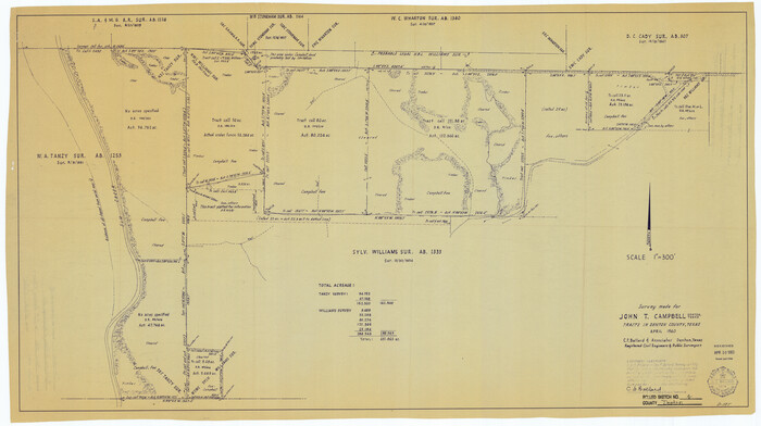

Print $20.00
- Digital $50.00
Denton County Rolled Sketch 4
1973
Size: 22.7 x 39.3 inches
5701
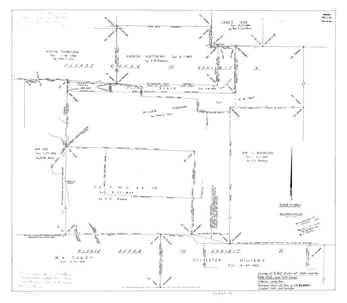
Denton County Rolled Sketch 5

Print $20.00
- Digital $50.00
Denton County Rolled Sketch 5
1973
Size: 31.9 x 36.6 inches
8776
Denton County Rolled Sketch 6


Print $20.00
- Digital $50.00
Denton County Rolled Sketch 6
1983
Size: 25.4 x 37.2 inches
5702
Denton County Rolled Sketch 7


Print $20.00
- Digital $50.00
Denton County Rolled Sketch 7
2007
Size: 24.5 x 19.3 inches
87941
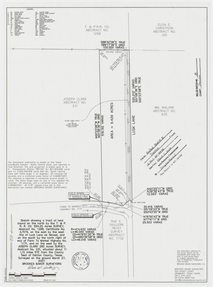
Denton County Rolled Sketch 8

Print $20.00
- Digital $50.00
Denton County Rolled Sketch 8
2007
Size: 24.5 x 18.2 inches
88762
Denton County Sketch File 1


Print $2.00
- Digital $50.00
Denton County Sketch File 1
Size: 8.4 x 10.6 inches
20681
Denton County Sketch File 10


Print $2.00
- Digital $50.00
Denton County Sketch File 10
1856
Size: 8.5 x 13.5 inches
20708
Cooke County Sketch File 3a


Print $20.00
- Digital $50.00
Cooke County Sketch File 3a
-
Size
18.8 x 10.4 inches
-
Map/Doc
11170
Cooke County Sketch File 40


Print $20.00
- Digital $50.00
Cooke County Sketch File 40
-
Size
36.3 x 34.0 inches
-
Map/Doc
10341
Cooke County Sketch File 46


Print $36.00
- Digital $50.00
Cooke County Sketch File 46
2002
-
Size
10.5 x 8.0 inches
-
Map/Doc
82578
-
Creation Date
2002
Cooke County Working Sketch 26


Print $20.00
- Digital $50.00
Cooke County Working Sketch 26
1974
-
Size
33.9 x 39.2 inches
-
Map/Doc
68263
-
Creation Date
1974
Cooke County Working Sketch 32


Print $20.00
- Digital $50.00
Cooke County Working Sketch 32
1982
-
Size
19.0 x 14.8 inches
-
Map/Doc
68269
-
Creation Date
1982
Dallas County Boundary File 9


Print $6.00
- Digital $50.00
Dallas County Boundary File 9
2008
-
Map/Doc
88850
-
Creation Date
2008
Dallas/Fort Worth Street Map & Visitor Guide


Dallas/Fort Worth Street Map & Visitor Guide
2000
-
Size
35.6 x 23.2 inches
-
Map/Doc
94295
-
Creation Date
2000
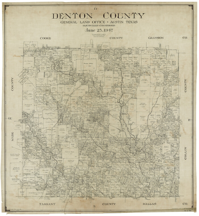
Denton County

Print $20.00
- Digital $50.00
Denton County
1947
-
Size
42.1 x 38.6 inches
-
Map/Doc
1817
-
Creation Date
1947
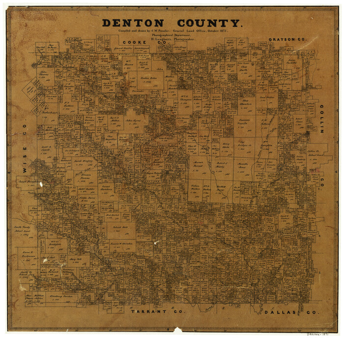
Denton County

Print $20.00
- Digital $50.00
Denton County
1871
-
Size
18.8 x 19.1 inches
-
Map/Doc
3474
-
Creation Date
1871
Denton County
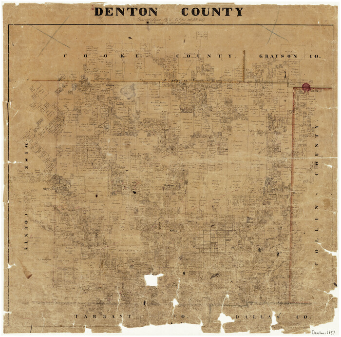

Print $20.00
- Digital $50.00
Denton County
1857
-
Size
21.6 x 21.8 inches
-
Map/Doc
3476
-
Creation Date
1857
Denton County


Print $20.00
- Digital $50.00
Denton County
1871
-
Size
18.4 x 19.6 inches
-
Map/Doc
4531
-
Creation Date
1871
Denton County


Print $20.00
- Digital $50.00
Denton County
1947
-
Size
42.5 x 39.7 inches
-
Map/Doc
73130
-
Creation Date
1947
Denton County
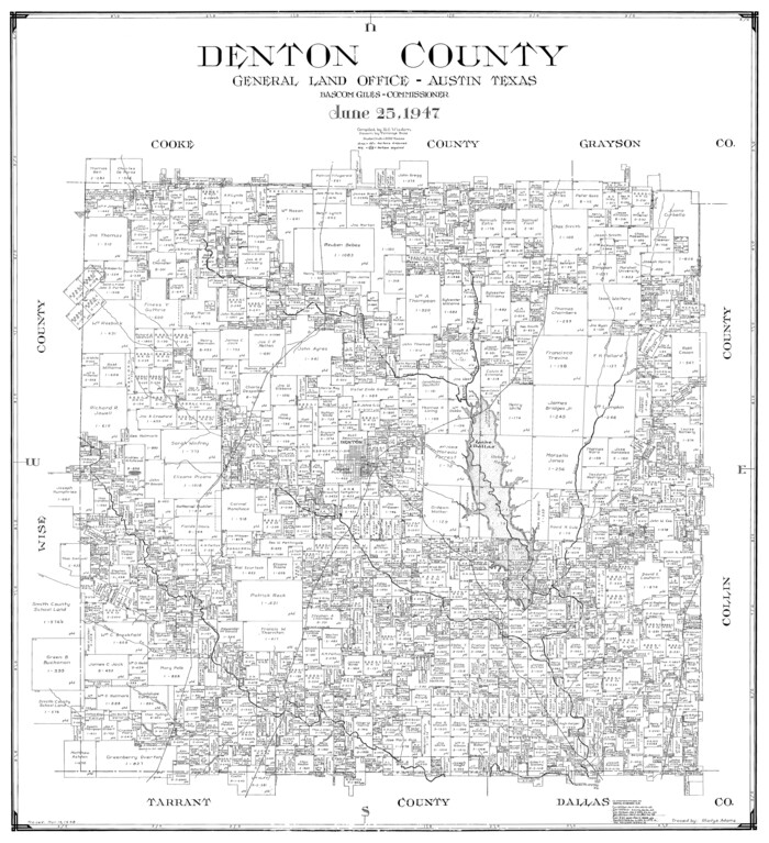

Print $20.00
- Digital $50.00
Denton County
1947
-
Size
40.7 x 37.2 inches
-
Map/Doc
77262
-
Creation Date
1947
Denton County
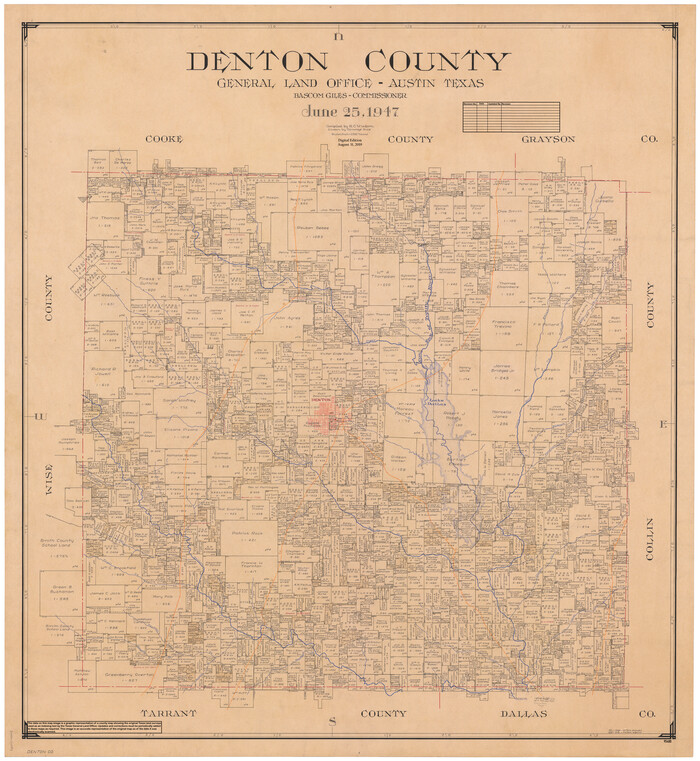

Print $20.00
- Digital $50.00
Denton County
1947
-
Size
43.4 x 39.9 inches
-
Map/Doc
95480
-
Creation Date
1947
Denton County Boundary File 1


Print $14.00
- Digital $50.00
Denton County Boundary File 1
-
Size
8.7 x 3.5 inches
-
Map/Doc
52394
Denton County Boundary File 1a


Print $24.00
- Digital $50.00
Denton County Boundary File 1a
-
Size
12.4 x 8.1 inches
-
Map/Doc
52401
Denton County Boundary File 2


Print $22.00
- Digital $50.00
Denton County Boundary File 2
-
Size
14.1 x 8.5 inches
-
Map/Doc
52413
Denton County Boundary File 3


Print $34.00
- Digital $50.00
Denton County Boundary File 3
-
Size
6.1 x 3.9 inches
-
Map/Doc
52424
Denton County Boundary File 4 and 4a and 4b and 4c


Print $14.00
- Digital $50.00
Denton County Boundary File 4 and 4a and 4b and 4c
-
Size
11.2 x 8.5 inches
-
Map/Doc
52441
Denton County Boundary File 4 and 4a and 4b and 4c


Print $168.00
- Digital $50.00
Denton County Boundary File 4 and 4a and 4b and 4c
-
Size
11.1 x 8.6 inches
-
Map/Doc
52448
Denton County Boundary File 4 and 4a and 4b and 4c


Print $2.00
- Digital $50.00
Denton County Boundary File 4 and 4a and 4b and 4c
-
Size
11.0 x 8.7 inches
-
Map/Doc
52470
Denton County Rolled Sketch 2


Print $40.00
- Digital $50.00
Denton County Rolled Sketch 2
1933
-
Size
47.1 x 53.5 inches
-
Map/Doc
8338
-
Creation Date
1933
Denton County Rolled Sketch 3


Print $20.00
- Digital $50.00
Denton County Rolled Sketch 3
1959
-
Size
39.1 x 23.9 inches
-
Map/Doc
5700
-
Creation Date
1959
Denton County Rolled Sketch 4


Print $20.00
- Digital $50.00
Denton County Rolled Sketch 4
1973
-
Size
22.7 x 39.3 inches
-
Map/Doc
5701
-
Creation Date
1973
Denton County Rolled Sketch 5


Print $20.00
- Digital $50.00
Denton County Rolled Sketch 5
1973
-
Size
31.9 x 36.6 inches
-
Map/Doc
8776
-
Creation Date
1973
Denton County Rolled Sketch 6


Print $20.00
- Digital $50.00
Denton County Rolled Sketch 6
1983
-
Size
25.4 x 37.2 inches
-
Map/Doc
5702
-
Creation Date
1983
Denton County Rolled Sketch 7


Print $20.00
- Digital $50.00
Denton County Rolled Sketch 7
2007
-
Size
24.5 x 19.3 inches
-
Map/Doc
87941
-
Creation Date
2007
Denton County Rolled Sketch 8


Print $20.00
- Digital $50.00
Denton County Rolled Sketch 8
2007
-
Size
24.5 x 18.2 inches
-
Map/Doc
88762
-
Creation Date
2007
Denton County Sketch File 1


Print $2.00
- Digital $50.00
Denton County Sketch File 1
-
Size
8.4 x 10.6 inches
-
Map/Doc
20681
Denton County Sketch File 10


Print $2.00
- Digital $50.00
Denton County Sketch File 10
1856
-
Size
8.5 x 13.5 inches
-
Map/Doc
20708
-
Creation Date
1856