
Cooke County Sketch File 40

Tarrant County Sketch File 31
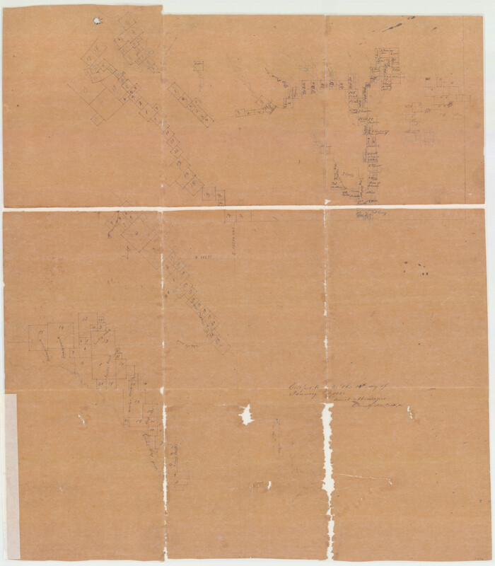
Montague County Sketch File 16
1853

Cooke County Sketch File 3a

Map of Denton County
1896

Wise County Sketch File F
1857

Map of Fannin County
1845
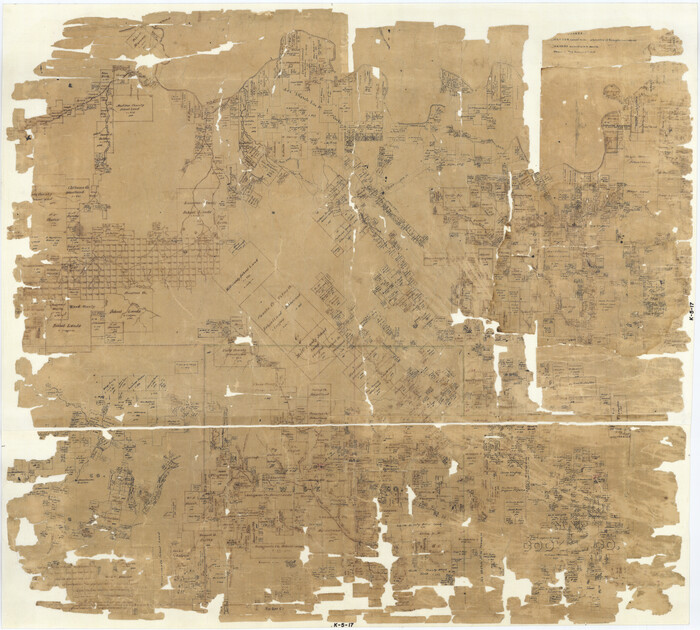
Map of Cooke County
1857
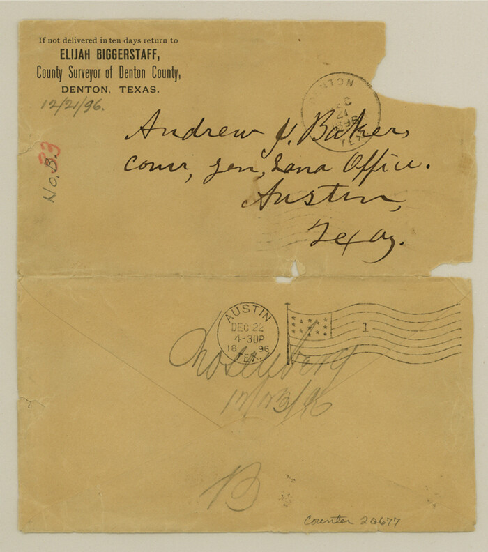
Denton County Sketch File AB
1896

Denton County Sketch File 1

Denton County Sketch File C
1882
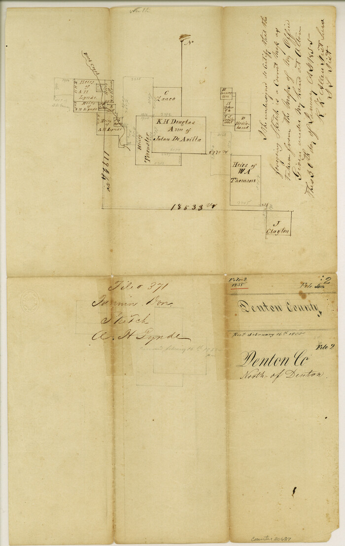
Denton County Sketch File 2
1855
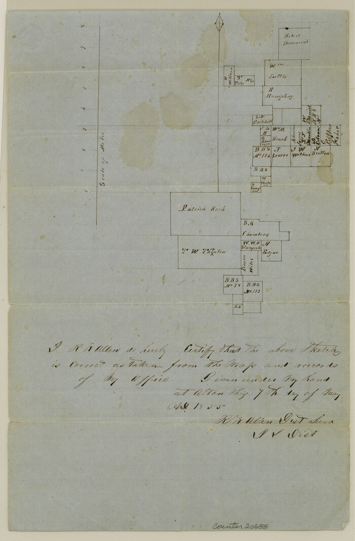
Denton County Sketch File 3
1855

Denton County Sketch File 4
1858
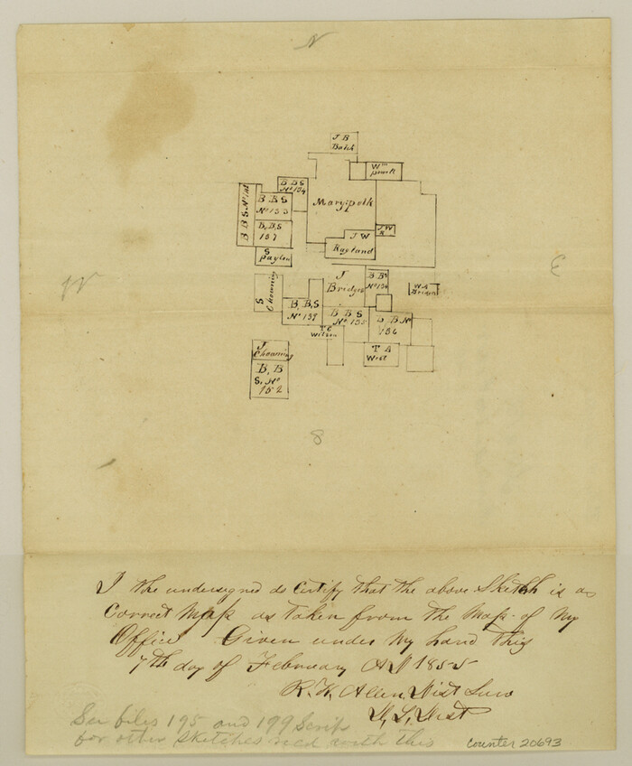
Denton County Sketch File 5
1855
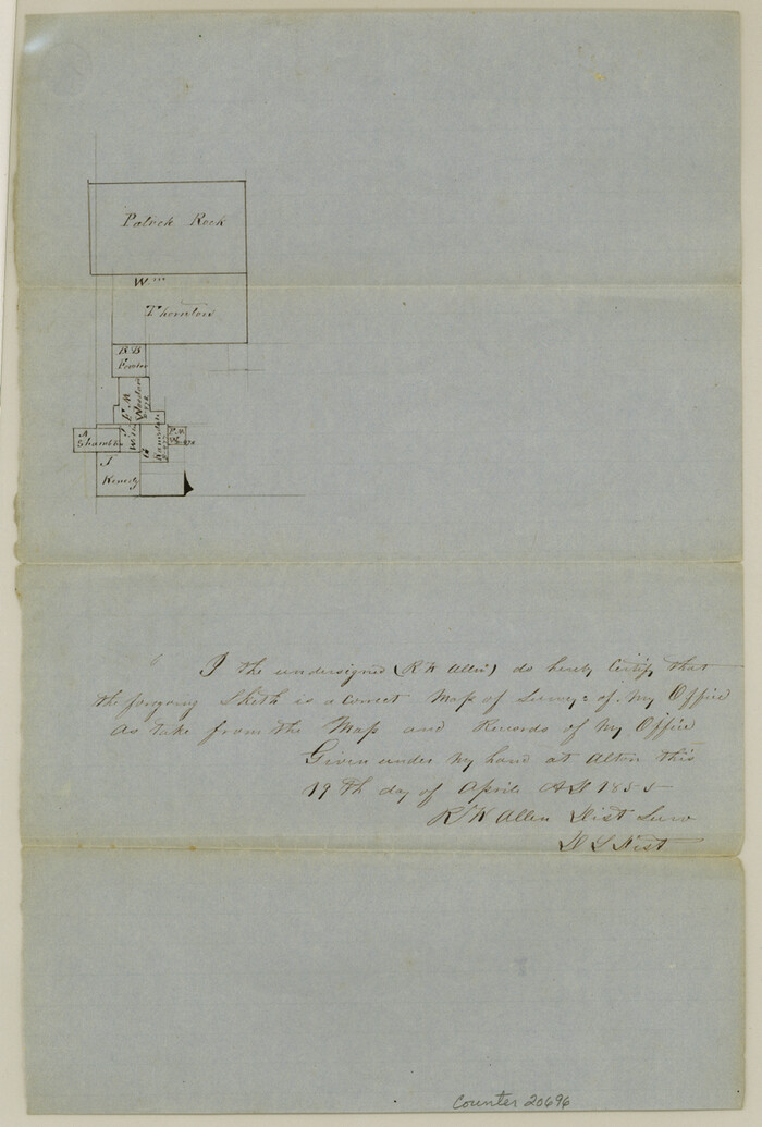
Denton County Sketch File 6
1855
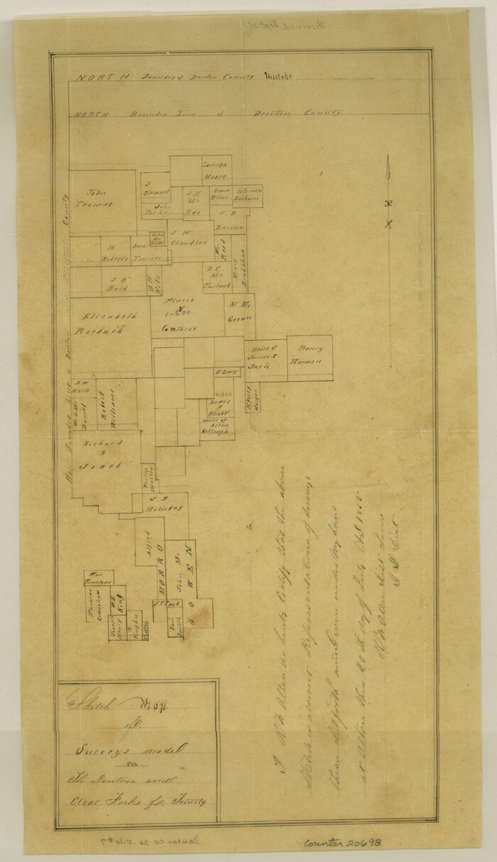
Denton County Sketch File 7
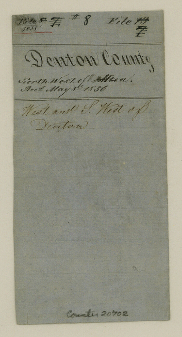
Denton County Sketch File 8
1856
Denton County Sketch File 9
1856

Denton County Sketch File 10
1856
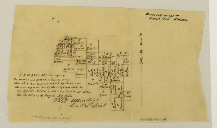
Denton County Sketch File 11
1856
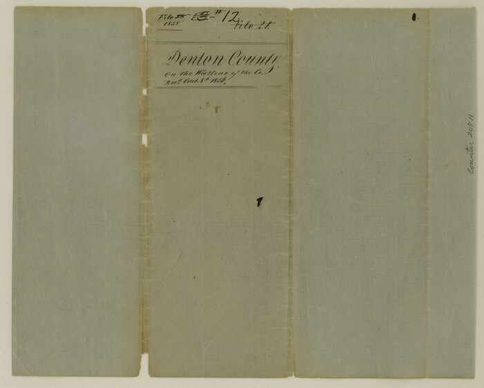
Denton County Sketch File 12
1856
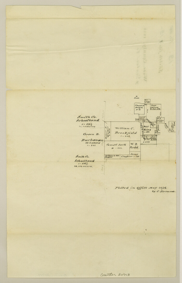
Denton County Sketch File 13
1856

Denton County Sketch File 14
1855

Denton County Sketch File 15
1857
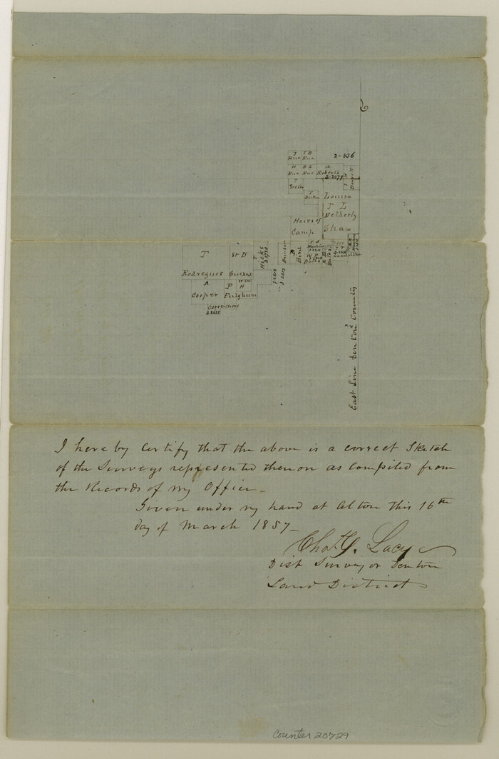
Denton County Sketch File 17
1857

Denton County Sketch File 18
1856
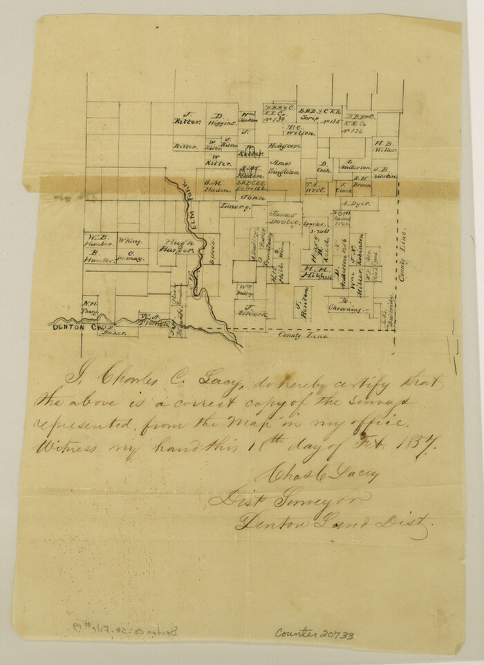
Denton County Sketch File 19
Denton County Sketch File 20
1858

Cooke County Sketch File 40
-
Size
36.3 x 34.0 inches
-
Map/Doc
10341

Tarrant County Sketch File 31
-
Size
27.2 x 39.3 inches
-
Map/Doc
10380

Montague County Sketch File 16
1853
-
Size
32.5 x 29.2 inches
-
Map/Doc
10546
-
Creation Date
1853

Cooke County Sketch File 3a
-
Size
18.8 x 10.4 inches
-
Map/Doc
11170

Map of Denton County
1896
-
Size
25.6 x 22.0 inches
-
Map/Doc
11311
-
Creation Date
1896

Wise County Sketch File F
1857
-
Size
16.2 x 29.2 inches
-
Map/Doc
12704
-
Creation Date
1857

Map of Fannin County
1845
-
Size
34.7 x 36.5 inches
-
Map/Doc
16827
-
Creation Date
1845
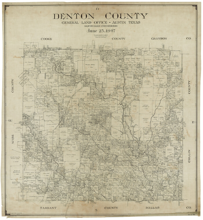
Denton County
1947
-
Size
42.1 x 38.6 inches
-
Map/Doc
1817
-
Creation Date
1947

Map of Cooke County
1857
-
Size
34.1 x 37.9 inches
-
Map/Doc
1973
-
Creation Date
1857

Denton County Sketch File AB
1896
-
Size
7.8 x 6.9 inches
-
Map/Doc
20677
-
Creation Date
1896

Denton County Sketch File 1
-
Size
8.4 x 10.6 inches
-
Map/Doc
20681

Denton County Sketch File C
1882
-
Size
10.9 x 8.3 inches
-
Map/Doc
20682
-
Creation Date
1882

Denton County Sketch File 2
1855
-
Size
15.4 x 9.8 inches
-
Map/Doc
20687
-
Creation Date
1855

Denton County Sketch File 3
1855
-
Size
12.5 x 8.2 inches
-
Map/Doc
20688
-
Creation Date
1855

Denton County Sketch File 4
1858
-
Size
12.2 x 7.9 inches
-
Map/Doc
20690
-
Creation Date
1858

Denton County Sketch File 5
1855
-
Size
9.8 x 8.1 inches
-
Map/Doc
20693
-
Creation Date
1855

Denton County Sketch File 6
1855
-
Size
12.3 x 8.3 inches
-
Map/Doc
20696
-
Creation Date
1855

Denton County Sketch File 7
-
Size
13.7 x 7.9 inches
-
Map/Doc
20698

Denton County Sketch File 8
1856
-
Size
6.9 x 3.8 inches
-
Map/Doc
20702
-
Creation Date
1856

Denton County Sketch File 9
1856
-
Size
8.6 x 13.3 inches
-
Map/Doc
20705
-
Creation Date
1856

Denton County Sketch File 10
1856
-
Size
8.5 x 13.5 inches
-
Map/Doc
20708
-
Creation Date
1856

Denton County Sketch File 11
1856
-
Size
5.1 x 8.6 inches
-
Map/Doc
20709
-
Creation Date
1856

Denton County Sketch File 12
1856
-
Size
8.3 x 10.3 inches
-
Map/Doc
20711
-
Creation Date
1856

Denton County Sketch File 13
1856
-
Size
12.3 x 7.9 inches
-
Map/Doc
20713
-
Creation Date
1856

Denton County Sketch File 14
1855
-
Size
8.6 x 10.0 inches
-
Map/Doc
20719
-
Creation Date
1855

Denton County Sketch File 15
1857
-
Size
13.1 x 8.2 inches
-
Map/Doc
20724
-
Creation Date
1857

Denton County Sketch File 17
1857
-
Size
12.7 x 8.4 inches
-
Map/Doc
20729
-
Creation Date
1857

Denton County Sketch File 18
1856
-
Size
7.9 x 7.3 inches
-
Map/Doc
20731
-
Creation Date
1856

Denton County Sketch File 19
-
Size
10.0 x 7.3 inches
-
Map/Doc
20733

Denton County Sketch File 20
1858
-
Size
8.5 x 10.3 inches
-
Map/Doc
20738
-
Creation Date
1858