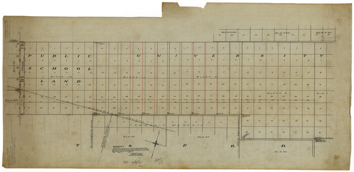
Andrews County Rolled Sketch 10

Print $40.00
- Digital $50.00
Andrews County Rolled Sketch 10
1931
Size: 27.2 x 56.1 inches
8389
Andrews County Rolled Sketch 12


Print $40.00
- Digital $50.00
Andrews County Rolled Sketch 12
1933
Size: 58.1 x 39.1 inches
8390
Andrews County Rolled Sketch 12B


Print $20.00
- Digital $50.00
Andrews County Rolled Sketch 12B
1933
Size: 39.9 x 37.8 inches
8392
Andrews County Rolled Sketch 42


Print $20.00
- Digital $50.00
Andrews County Rolled Sketch 42
Size: 27.3 x 36.0 inches
77182
Andrews County Working Sketch 1


Print $20.00
- Digital $50.00
Andrews County Working Sketch 1
1946
Size: 40.4 x 37.3 inches
67047
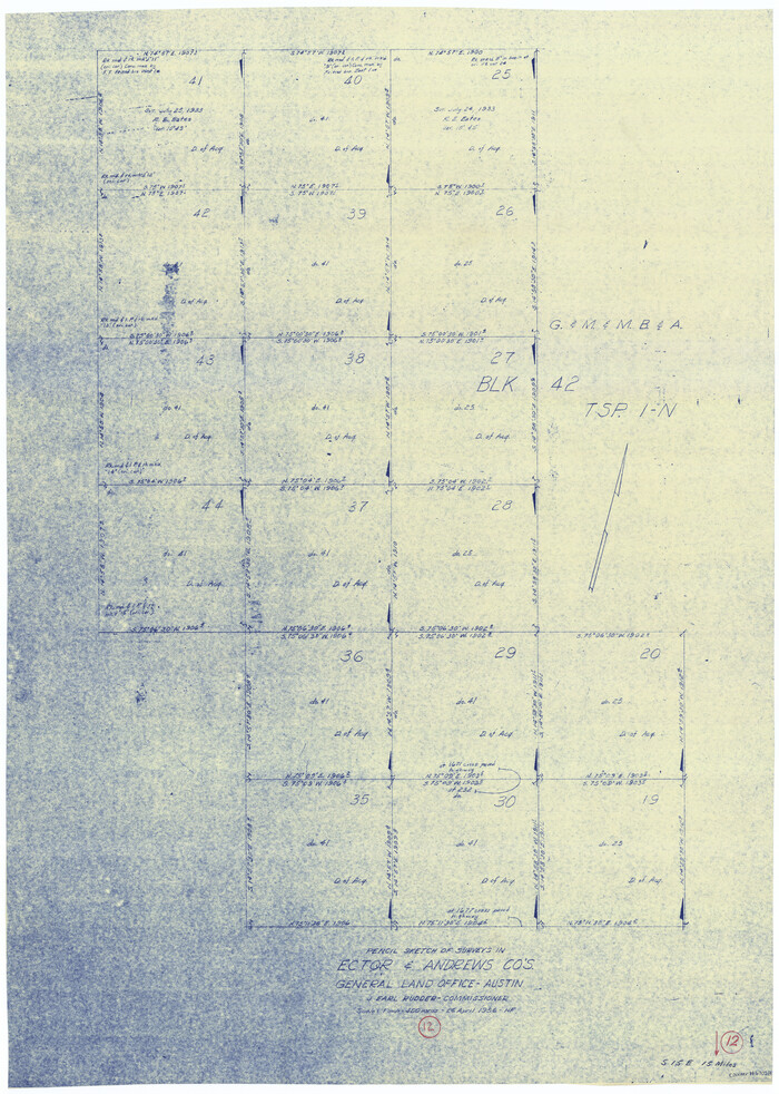
Andrews County Working Sketch 12

Print $20.00
- Digital $50.00
Andrews County Working Sketch 12
1956
Size: 35.5 x 25.3 inches
67058
Andrews County Working Sketch 13


Print $20.00
- Digital $50.00
Andrews County Working Sketch 13
1956
Size: 37.3 x 30.6 inches
67059
Andrews County Working Sketch 4


Print $20.00
- Digital $50.00
Andrews County Working Sketch 4
1954
Size: 42.8 x 19.2 inches
67050
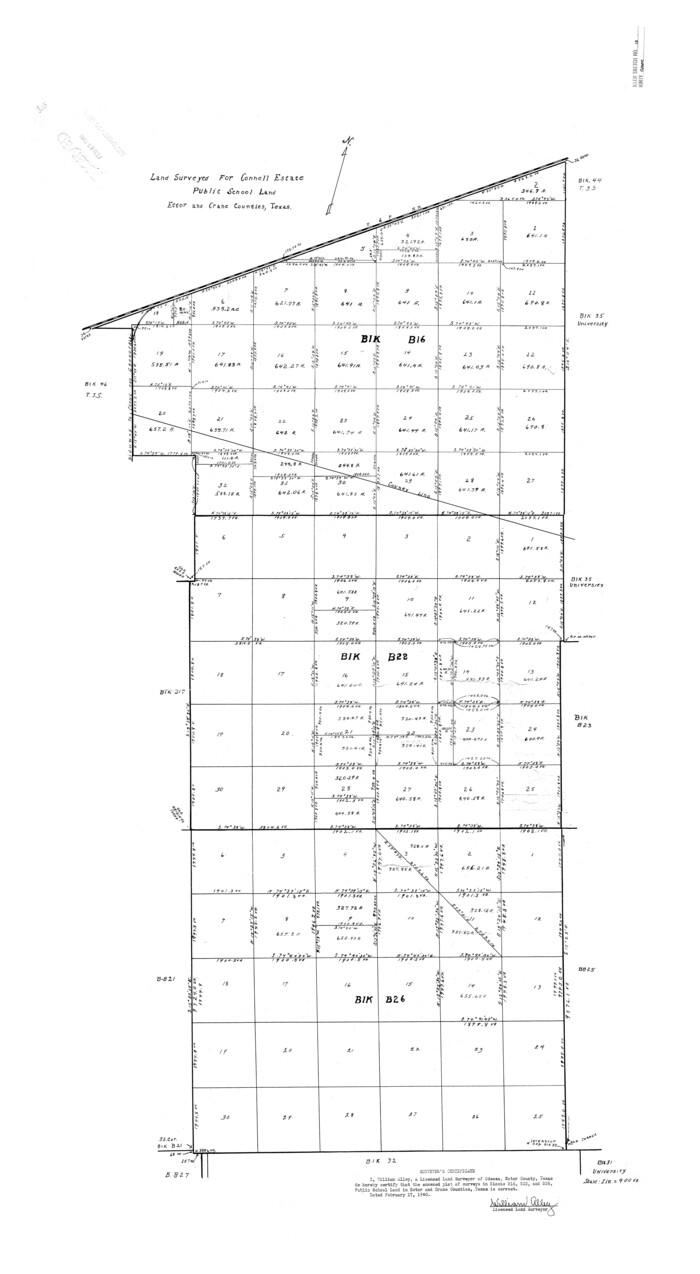
Crane County Rolled Sketch 13

Print $20.00
- Digital $50.00
Crane County Rolled Sketch 13
1940
Size: 42.4 x 23.3 inches
5575
Crane County Rolled Sketch 14


Print $46.00
- Digital $50.00
Crane County Rolled Sketch 14
1935
Size: 37.1 x 31.6 inches
8680
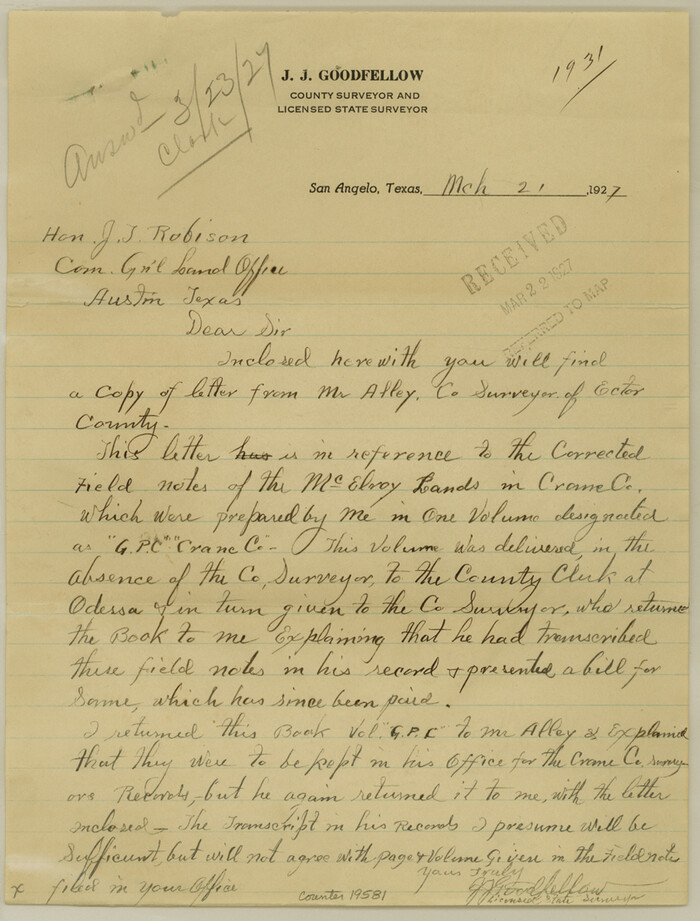
Crane County Sketch File 17

Print $6.00
- Digital $50.00
Crane County Sketch File 17
1927
Size: 11.1 x 8.4 inches
19581
Crane County Sketch File 20
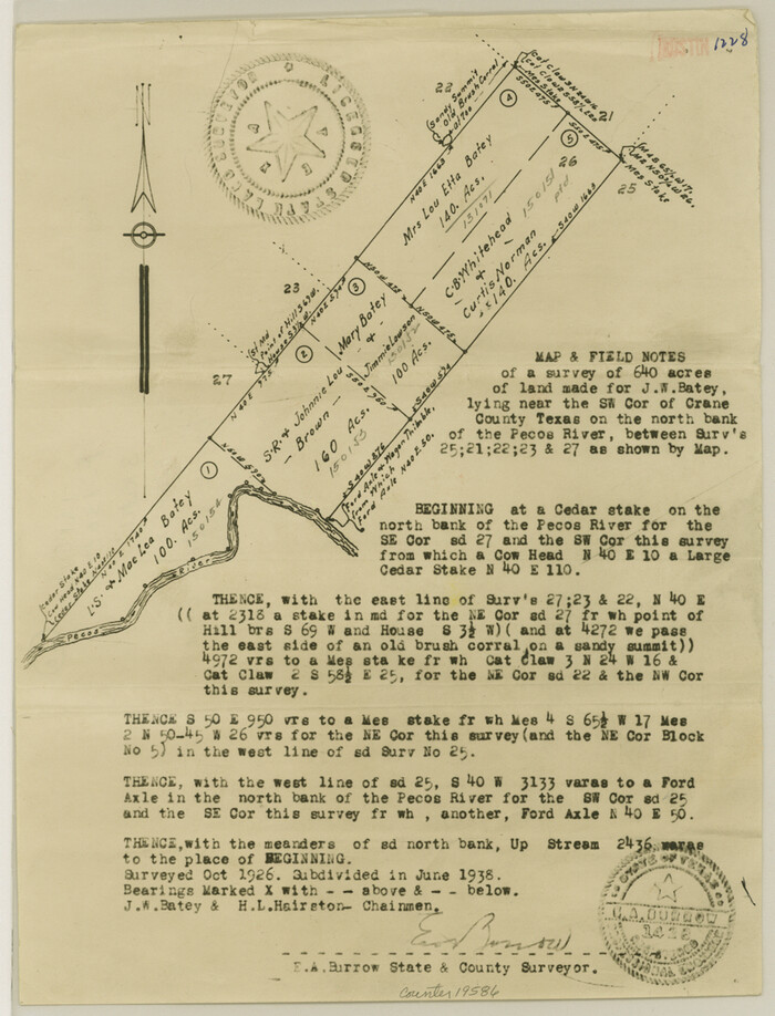

Print $8.00
- Digital $50.00
Crane County Sketch File 20
1928
Size: 11.0 x 8.5 inches
19586
Crane County Sketch File 20
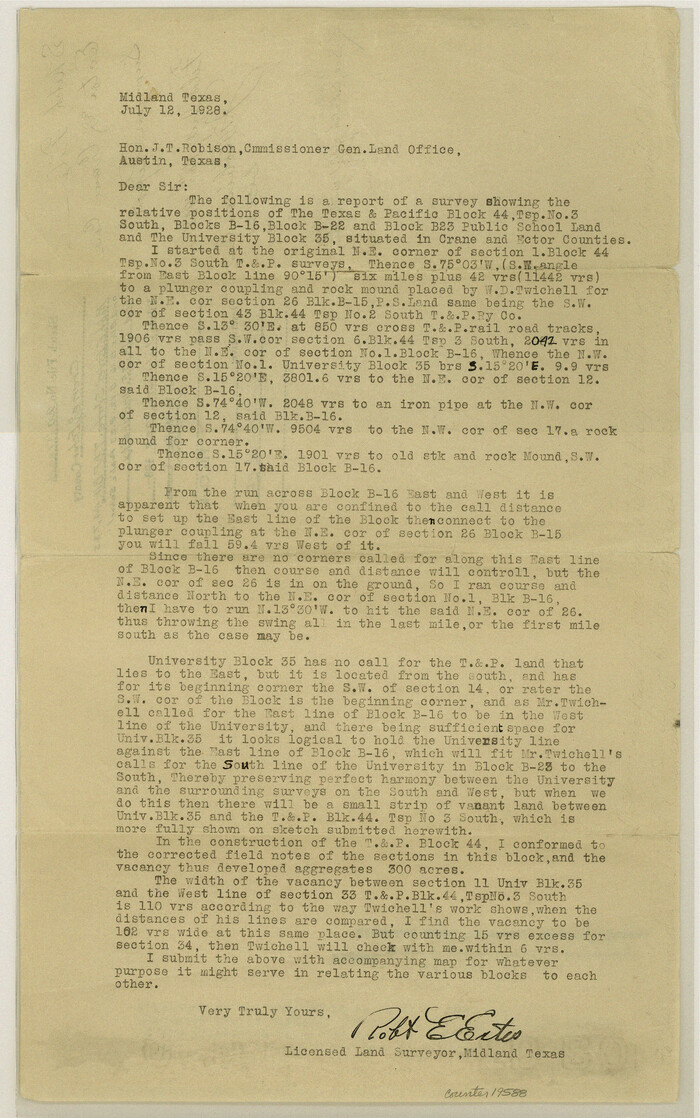

Print $4.00
- Digital $50.00
Crane County Sketch File 20
1928
Size: 14.4 x 9.0 inches
19588
Crane County Sketch File 26
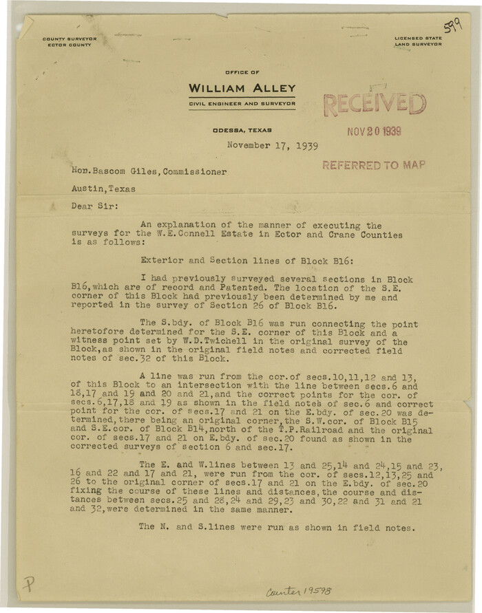

Print $10.00
- Digital $50.00
Crane County Sketch File 26
1939
Size: 11.5 x 9.0 inches
19598
Crane County Sketch File 27
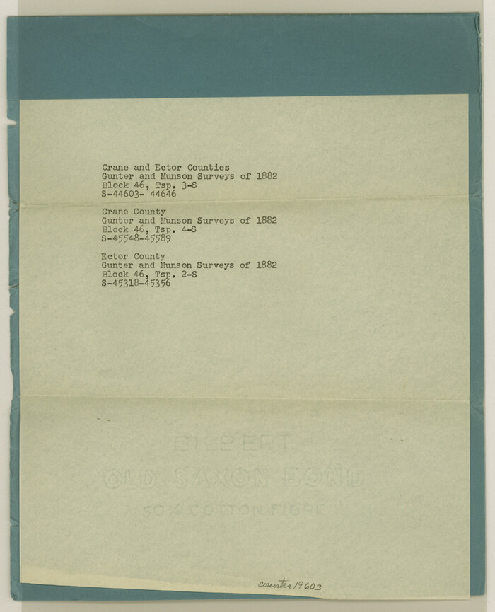

Print $6.00
- Digital $50.00
Crane County Sketch File 27
Size: 11.5 x 9.3 inches
19603
Crane County Sketch File 9


Print $20.00
- Digital $50.00
Crane County Sketch File 9
1926
Size: 21.7 x 34.1 inches
11208
Ector County Boundary File 1
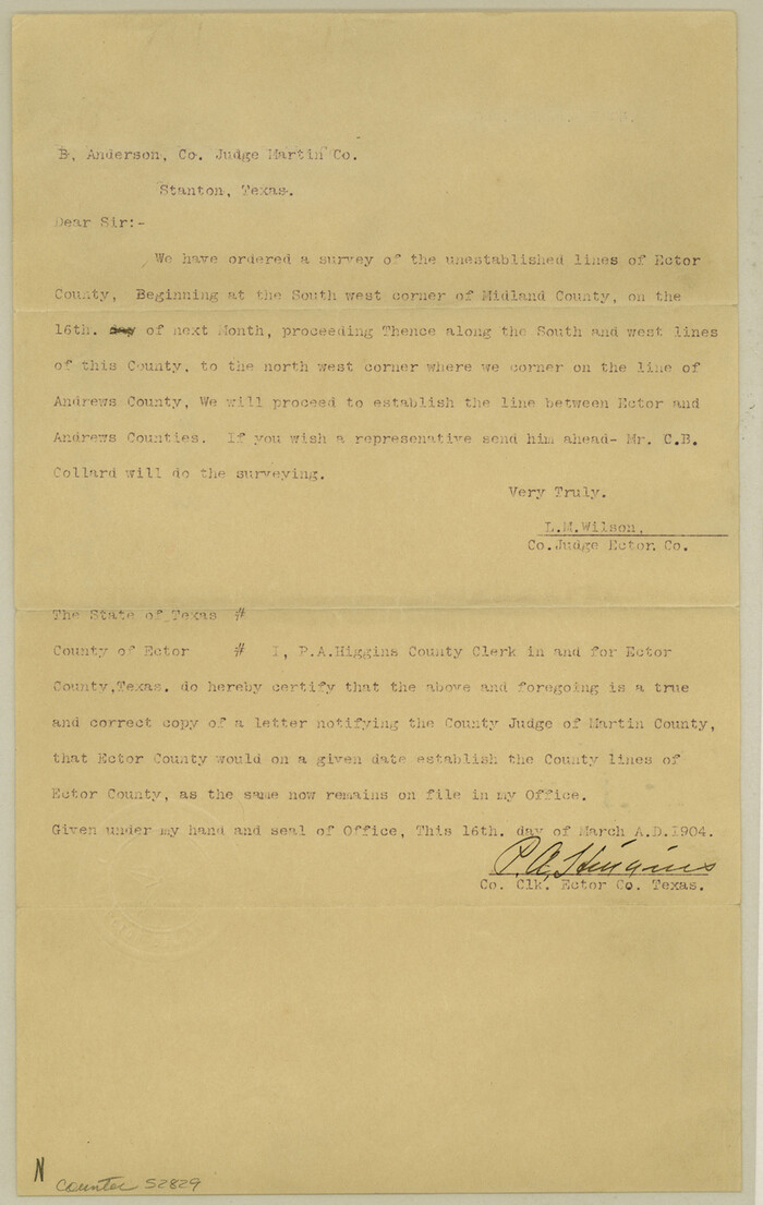

Print $10.00
- Digital $50.00
Ector County Boundary File 1
Size: 13.3 x 8.4 inches
52829
Ector County Boundary File 2
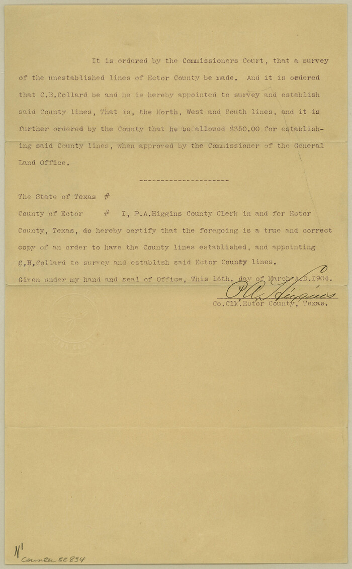

Print $4.00
- Digital $50.00
Ector County Boundary File 2
Size: 13.2 x 8.2 inches
52834
Ector County Boundary File 3
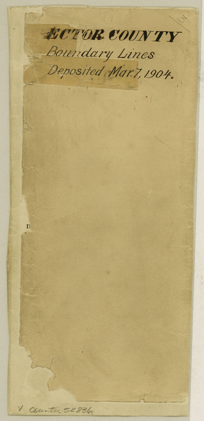

Print $18.00
- Digital $50.00
Ector County Boundary File 3
Size: 9.0 x 4.4 inches
52836
Ector County Boundary File 4
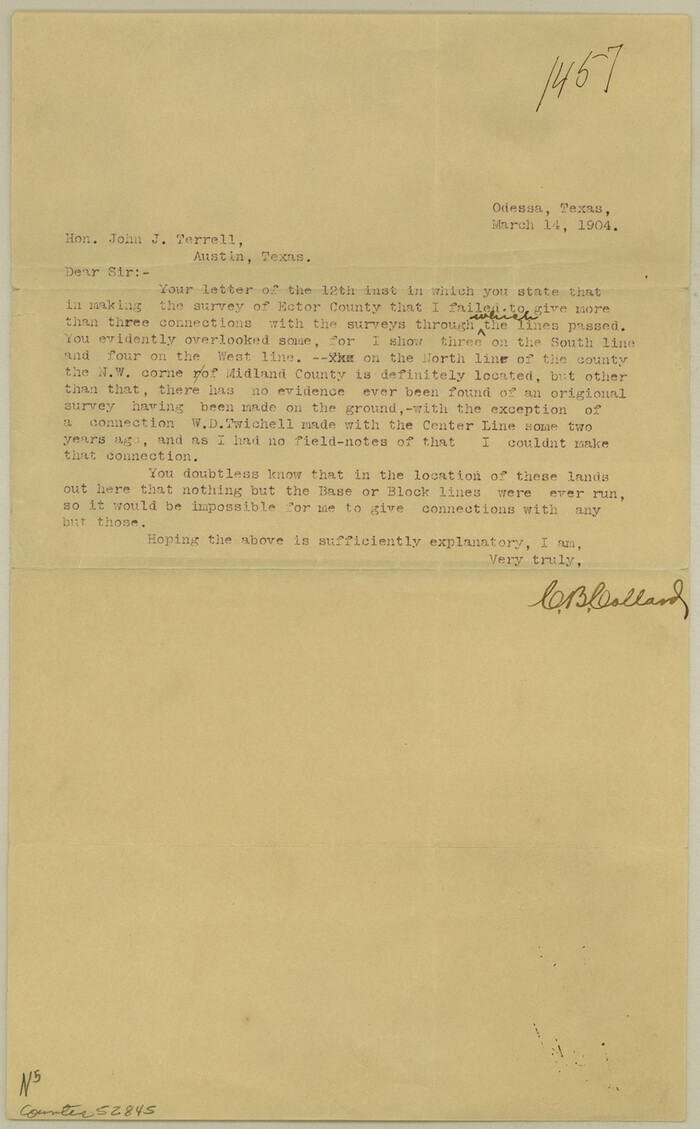

Print $4.00
- Digital $50.00
Ector County Boundary File 4
Size: 13.3 x 8.2 inches
52845
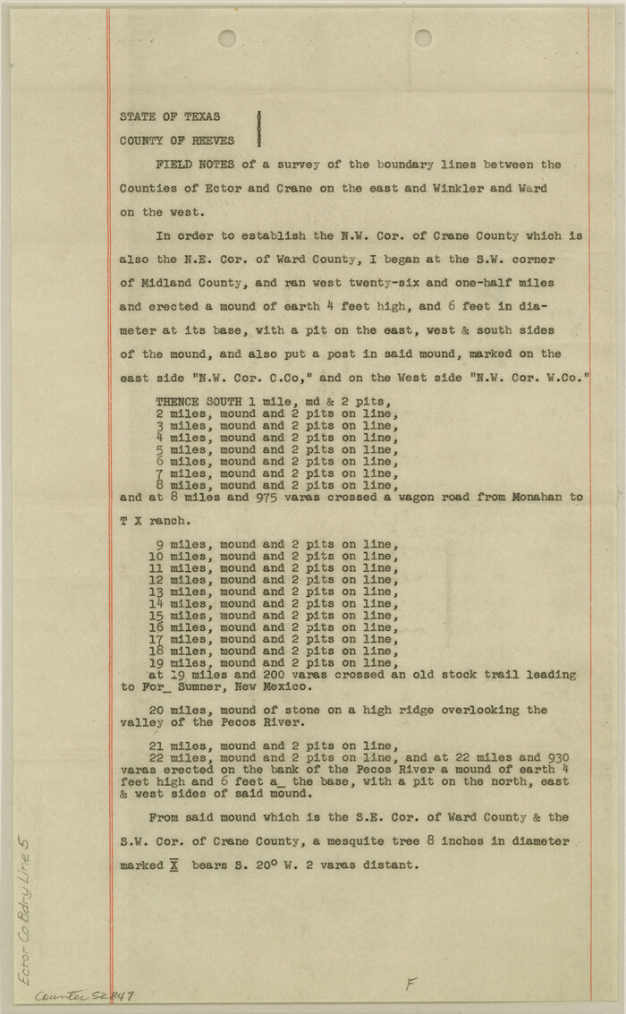
Ector County Boundary File 5

Print $12.00
- Digital $50.00
Ector County Boundary File 5
Size: 14.3 x 8.8 inches
52847
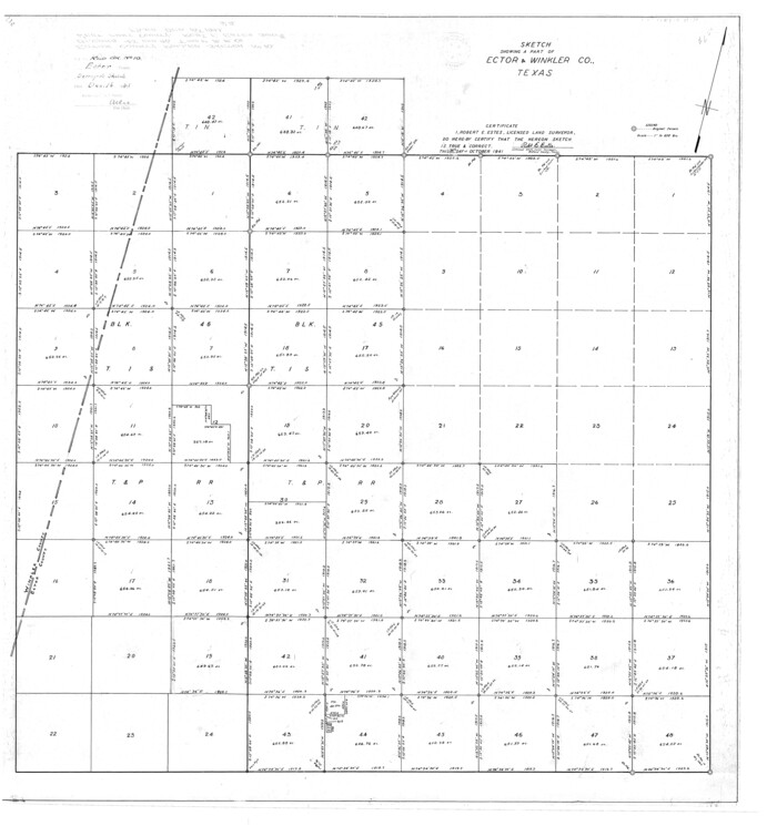
Ector County Rolled Sketch 10

Print $20.00
- Digital $50.00
Ector County Rolled Sketch 10
1941
Size: 34.2 x 32.1 inches
8838
Andrews County Rolled Sketch 10


Print $40.00
- Digital $50.00
Andrews County Rolled Sketch 10
1931
-
Size
27.2 x 56.1 inches
-
Map/Doc
8389
-
Creation Date
1931
Andrews County Rolled Sketch 12


Print $40.00
- Digital $50.00
Andrews County Rolled Sketch 12
1933
-
Size
58.1 x 39.1 inches
-
Map/Doc
8390
-
Creation Date
1933
Andrews County Rolled Sketch 12B


Print $20.00
- Digital $50.00
Andrews County Rolled Sketch 12B
1933
-
Size
39.9 x 37.8 inches
-
Map/Doc
8392
-
Creation Date
1933
Andrews County Rolled Sketch 42


Print $20.00
- Digital $50.00
Andrews County Rolled Sketch 42
-
Size
27.3 x 36.0 inches
-
Map/Doc
77182
Andrews County Working Sketch 1


Print $20.00
- Digital $50.00
Andrews County Working Sketch 1
1946
-
Size
40.4 x 37.3 inches
-
Map/Doc
67047
-
Creation Date
1946
Andrews County Working Sketch 12


Print $20.00
- Digital $50.00
Andrews County Working Sketch 12
1956
-
Size
35.5 x 25.3 inches
-
Map/Doc
67058
-
Creation Date
1956
Andrews County Working Sketch 13


Print $20.00
- Digital $50.00
Andrews County Working Sketch 13
1956
-
Size
37.3 x 30.6 inches
-
Map/Doc
67059
-
Creation Date
1956
Andrews County Working Sketch 4


Print $20.00
- Digital $50.00
Andrews County Working Sketch 4
1954
-
Size
42.8 x 19.2 inches
-
Map/Doc
67050
-
Creation Date
1954
Crane County Rolled Sketch 13


Print $20.00
- Digital $50.00
Crane County Rolled Sketch 13
1940
-
Size
42.4 x 23.3 inches
-
Map/Doc
5575
-
Creation Date
1940
Crane County Rolled Sketch 14


Print $46.00
- Digital $50.00
Crane County Rolled Sketch 14
1935
-
Size
37.1 x 31.6 inches
-
Map/Doc
8680
-
Creation Date
1935
Crane County Sketch File 17


Print $6.00
- Digital $50.00
Crane County Sketch File 17
1927
-
Size
11.1 x 8.4 inches
-
Map/Doc
19581
-
Creation Date
1927
Crane County Sketch File 20


Print $8.00
- Digital $50.00
Crane County Sketch File 20
1928
-
Size
11.0 x 8.5 inches
-
Map/Doc
19586
-
Creation Date
1928
Crane County Sketch File 20


Print $4.00
- Digital $50.00
Crane County Sketch File 20
1928
-
Size
14.4 x 9.0 inches
-
Map/Doc
19588
-
Creation Date
1928
Crane County Sketch File 26


Print $10.00
- Digital $50.00
Crane County Sketch File 26
1939
-
Size
11.5 x 9.0 inches
-
Map/Doc
19598
-
Creation Date
1939
Crane County Sketch File 27


Print $6.00
- Digital $50.00
Crane County Sketch File 27
-
Size
11.5 x 9.3 inches
-
Map/Doc
19603
Crane County Sketch File 9


Print $20.00
- Digital $50.00
Crane County Sketch File 9
1926
-
Size
21.7 x 34.1 inches
-
Map/Doc
11208
-
Creation Date
1926
Ector County


Print $20.00
- Digital $50.00
Ector County
1943
-
Size
45.8 x 39.8 inches
-
Map/Doc
1820
-
Creation Date
1943
Ector County


Print $20.00
- Digital $50.00
Ector County
1890
-
Size
23.0 x 19.2 inches
-
Map/Doc
3503
-
Creation Date
1890
Ector County


Print $20.00
- Digital $50.00
Ector County
1901
-
Size
43.9 x 39.1 inches
-
Map/Doc
4938
-
Creation Date
1901
Ector County


Print $20.00
- Digital $50.00
Ector County
1943
-
Size
45.6 x 39.7 inches
-
Map/Doc
73137
-
Creation Date
1943
Ector County


Print $20.00
- Digital $50.00
Ector County
1943
-
Size
43.5 x 37.5 inches
-
Map/Doc
77269
-
Creation Date
1943
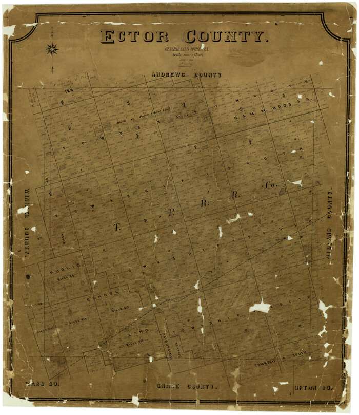
Ector County

Print $20.00
- Digital $50.00
Ector County
1901
-
Size
43.8 x 38.6 inches
-
Map/Doc
7819
-
Creation Date
1901
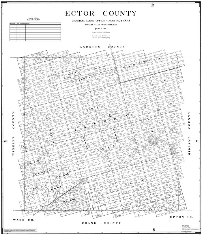
Ector County

Print $20.00
- Digital $50.00
Ector County
1943
-
Size
47.0 x 41.4 inches
-
Map/Doc
95487
-
Creation Date
1943
Ector County Boundary File 1


Print $10.00
- Digital $50.00
Ector County Boundary File 1
-
Size
13.3 x 8.4 inches
-
Map/Doc
52829
Ector County Boundary File 2


Print $4.00
- Digital $50.00
Ector County Boundary File 2
-
Size
13.2 x 8.2 inches
-
Map/Doc
52834
Ector County Boundary File 3


Print $18.00
- Digital $50.00
Ector County Boundary File 3
-
Size
9.0 x 4.4 inches
-
Map/Doc
52836
Ector County Boundary File 4


Print $4.00
- Digital $50.00
Ector County Boundary File 4
-
Size
13.3 x 8.2 inches
-
Map/Doc
52845
Ector County Boundary File 5


Print $12.00
- Digital $50.00
Ector County Boundary File 5
-
Size
14.3 x 8.8 inches
-
Map/Doc
52847
Ector County Rolled Sketch 10


Print $20.00
- Digital $50.00
Ector County Rolled Sketch 10
1941
-
Size
34.2 x 32.1 inches
-
Map/Doc
8838
-
Creation Date
1941
