123 results

The Republic County of Fannin. Created, December 14, 1837
96128.tif
Print $20.00 - Digital $50.00

The Republic County of Fannin. Created, December 14, 1837

2020

Size: 7.5 x 10.9 inches
96128
The Republic County of Fannin. November 28. 1839
96129.tif
Print $20.00 - Digital $50.00

The Republic County of Fannin. November 28. 1839

2020

Size: 6.4 x 10.8 inches
96129
The Republic County of Fannin. December 29, 1845
96130.tif
Print $20.00 - Digital $50.00

The Republic County of Fannin. December 29, 1845

2020

Size: 6.4 x 10.8 inches
96130
Fannin County Working Sketch 10
69164.tif
Print $20.00 - Digital $50.00

Fannin County Working Sketch 10

1989
Size: 26.5 x 38.0 inches
69164
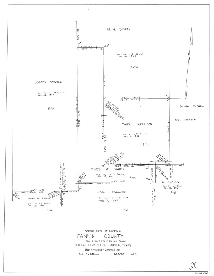
Fannin County Working Sketch 9
69163.tif
Print $4.00 - Digital $50.00

Fannin County Working Sketch 9

1973

Size: 28.1 x 21.9 inches
69163
General Highway Map, Fannin County, Texas
79464.tif
Print $20.00

General Highway Map, Fannin County, Texas

1961

Size: 24.7 x 18.0 inches
79464
Fannin County Working Sketch 8
69162.tif
Print $4.00 - Digital $50.00

Fannin County Working Sketch 8

1955

Size: 27.2 x 16.0 inches
69162
Fannin County Working Sketch 7
69161.tif
Print $20.00 - Digital $50.00

Fannin County Working Sketch 7

1952

Size: 25.4 x 28.5 inches
69161
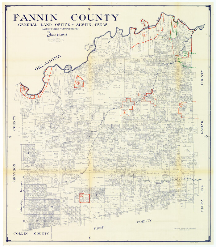
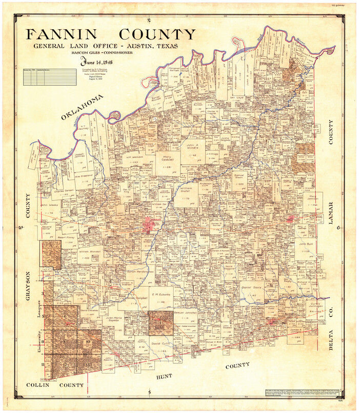
Fannin County
1825.tif
Print $20.00 - Digital $50.00

Fannin County

1946

Size: 42.6 x 37.6 inches
1825
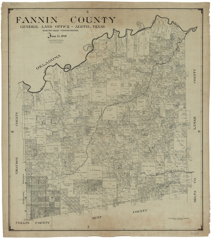
Fannin County
73145.tif
Print $20.00 - Digital $50.00

Fannin County

1946

Size: 42.3 x 37.4 inches
73145
Fannin County
77277.tif
Print $20.00 - Digital $50.00

Fannin County

1946

Size: 40.6 x 35.4 inches
77277
Fannin County
95495.tif
Print $20.00 - Digital $50.00

Fannin County

1946

Size: 44.0 x 38.6 inches
95495
Fannin County Working Sketch Graphic Index
76540.tif
Print $20.00 - Digital $50.00

Fannin County Working Sketch Graphic Index

1946
Size: 41.3 x 36.2 inches
76540
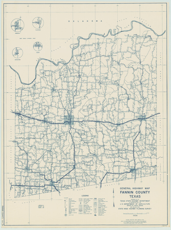
General Highway Map, Fannin County, Texas
79087.tif
Print $20.00

General Highway Map, Fannin County, Texas

1940
Size: 24.9 x 18.5 inches
79087
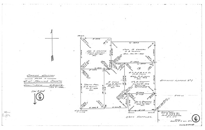
Fannin County Working Sketch 6
69160.tif
Print $4.00 - Digital $50.00

Fannin County Working Sketch 6

1939

Size: 11.4 x 18.0 inches
69160
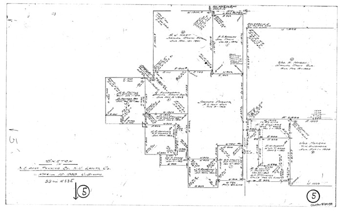
Fannin County Working Sketch 5
69159.tif
Print $4.00 - Digital $50.00

Fannin County Working Sketch 5

1939

Size: 11.2 x 18.1 inches
69159
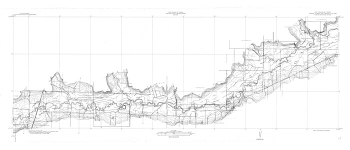
North Sulphur River, Ben Franklin Sheet
65172.tif
Print $40.00 - Digital $50.00

North Sulphur River, Ben Franklin Sheet

1928
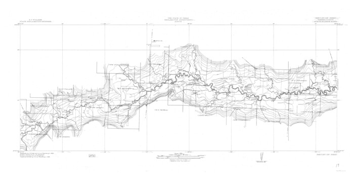
Size: 24.6 x 57.4 inches
65172
North Sulphur River, Bartley Gin Sheet
65173.tif
Print $20.00 - Digital $50.00

North Sulphur River, Bartley Gin Sheet

1928
Size: 21.1 x 42.5 inches
65173
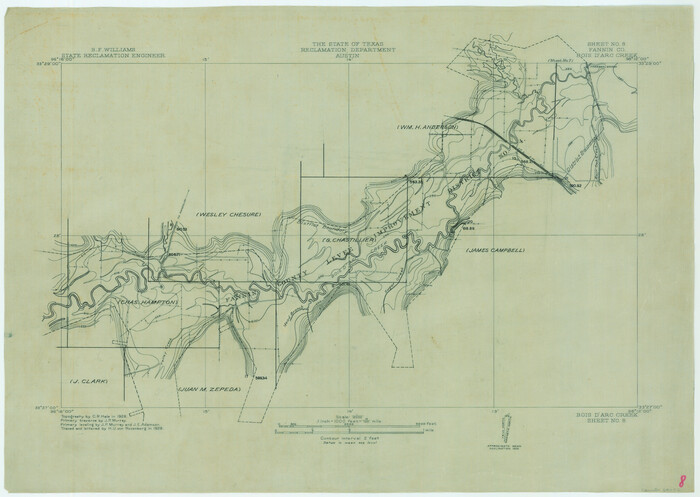
Red River, Bois D'Arc Creek Floodway Sheet No. 8
65272.tif
Print $20.00 - Digital $50.00

Red River, Bois D'Arc Creek Floodway Sheet No. 8

1928

Size: 17.6 x 24.8 inches
65272
North Sulphur River, Bartley Gin Sheet
78323.tif
Print $20.00 - Digital $50.00

North Sulphur River, Bartley Gin Sheet

1928

Size: 13.3 x 22.0 inches
78323
North Sulphur River, Ben Franklin Sheet
78324.tif
Print $20.00 - Digital $50.00

North Sulphur River, Ben Franklin Sheet

1928

Size: 14.2 x 30.0 inches
78324
Water-Shed of the Sulphur River in Texas Drainage Area
65154.tif
Print $4.00 - Digital $50.00

Water-Shed of the Sulphur River in Texas Drainage Area

1925
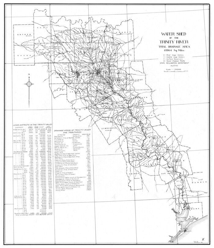
Size: 16.6 x 28.4 inches
65154
Trinity River, Watershed
65255-GC.tif
Print $20.00 - Digital $50.00

Trinity River, Watershed

1925

Size: 46.9 x 40.5 inches
65255
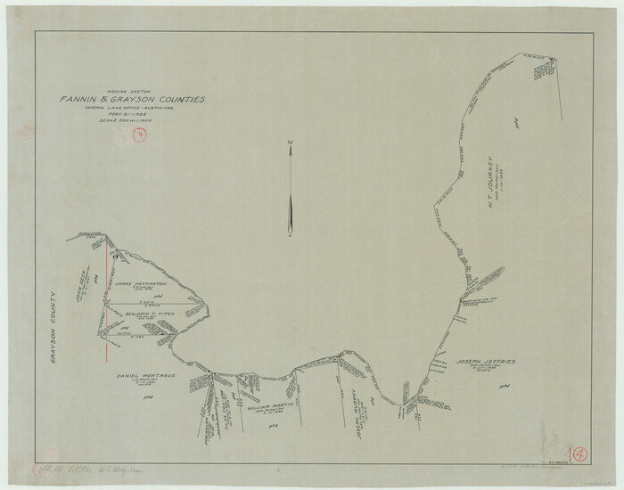
Fannin County Working Sketch 4
69158.tif
Print $20.00 - Digital $50.00

Fannin County Working Sketch 4

1925

Size: 24.6 x 31.4 inches
69158
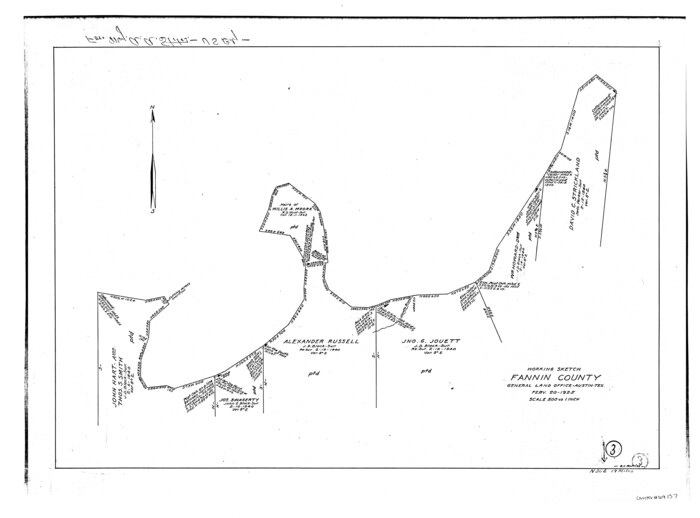
Fannin County Working Sketch 3
69157.tif
Print $4.00 - Digital $50.00

Fannin County Working Sketch 3

1925

Size: 22.2 x 30.0 inches
69157
Hunt County Sketch File 39
27159, Hunt County Sketch File 39, General Map Collection
Print $8.00 - Digital $50.00

Hunt County Sketch File 39

1922

Size: 14.3 x 8.8 inches
27159
Red River, Levee Improvement Districts Widths of Floodways - Bois D'Arc Creek
65271.tif
Print $20.00 - Digital $50.00

Red River, Levee Improvement Districts Widths of Floodways - Bois D'Arc Creek

1921
Size: 29.5 x 26.0 inches
65271
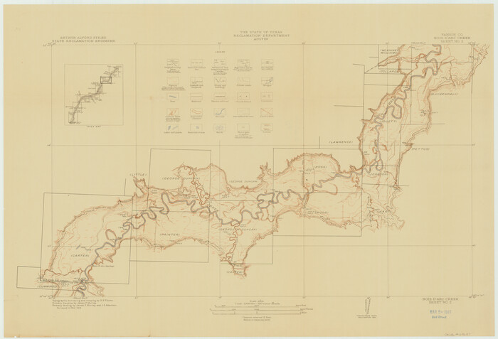
Red River, Bois D'Arc Creek Floodway Sheet No. 2
69657.tif
Print $20.00 - Digital $50.00

Red River, Bois D'Arc Creek Floodway Sheet No. 2

1917
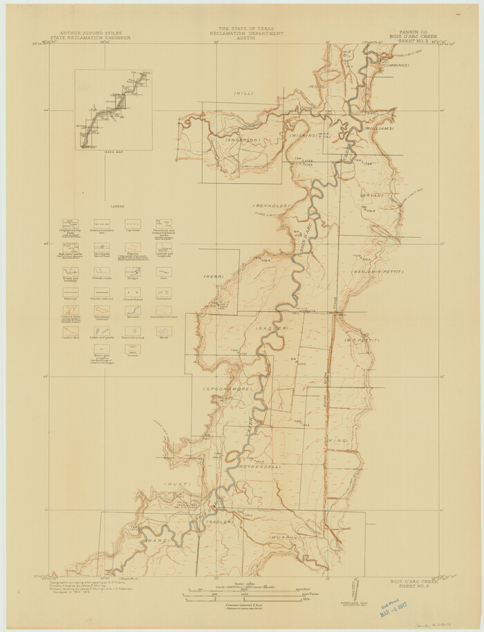
Size: 20.4 x 29.9 inches
69657
Red River, Bois D'Arc Creek Floodway Sheet No. 3
69658.tif
Print $20.00 - Digital $50.00

Red River, Bois D'Arc Creek Floodway Sheet No. 3

1917

Size: 28.8 x 22.0 inches
69658
Red River, Bois D'Arc Creek Floodway Sheet No. 4
69659.tif
Print $20.00 - Digital $50.00

Red River, Bois D'Arc Creek Floodway Sheet No. 4

1917

Size: 20.3 x 28.9 inches
69659
The Republic County of Fannin. Created, December 14, 1837
96128, The Republic County of Fannin. Created, December 14, 1837, Nancy and Jim Tiller Digital Collection
Print $20.00 - Digital $50.00

The Republic County of Fannin. Created, December 14, 1837

2020

  • Size

    7.5 x 10.9 inches

  • Map/Doc

    96128

  • Creation Date

    2020

The Republic County of Fannin. November 28. 1839
96129, The Republic County of Fannin. November 28. 1839, Nancy and Jim Tiller Digital Collection
Print $20.00 - Digital $50.00

The Republic County of Fannin. November 28. 1839

2020

  • Size

    6.4 x 10.8 inches

  • Map/Doc

    96129

  • Creation Date

    2020

The Republic County of Fannin. December 29, 1845
96130, The Republic County of Fannin. December 29, 1845, Nancy and Jim Tiller Digital Collection
Print $20.00 - Digital $50.00

The Republic County of Fannin. December 29, 1845

2020

  • Size

    6.4 x 10.8 inches

  • Map/Doc

    96130

  • Creation Date

    2020

Fannin County Working Sketch 10
69164, Fannin County Working Sketch 10, General Map Collection
Print $20.00 - Digital $50.00

Fannin County Working Sketch 10

1989

  • Size

    26.5 x 38.0 inches

  • Map/Doc

    69164

  • Creation Date

    1989

Fannin County Working Sketch 9
69163, Fannin County Working Sketch 9, General Map Collection
Print $4.00 - Digital $50.00

Fannin County Working Sketch 9

1973

  • Size

    28.1 x 21.9 inches

  • Map/Doc

    69163

  • Creation Date

    1973

General Highway Map, Fannin County, Texas
79464, General Highway Map, Fannin County, Texas, Texas State Library and Archives
Print $20.00

General Highway Map, Fannin County, Texas

1961

  • Size

    24.7 x 18.0 inches

  • Map/Doc

    79464

  • Creation Date

    1961

Fannin County Working Sketch 8
69162, Fannin County Working Sketch 8, General Map Collection
Print $4.00 - Digital $50.00

Fannin County Working Sketch 8

1955

  • Size

    27.2 x 16.0 inches

  • Map/Doc

    69162

  • Creation Date

    1955

Fannin County Working Sketch 7
69161, Fannin County Working Sketch 7, General Map Collection
Print $20.00 - Digital $50.00

Fannin County Working Sketch 7

1952

  • Size

    25.4 x 28.5 inches

  • Map/Doc

    69161

  • Creation Date

    1952

Fannin County
1825, Fannin County, General Map Collection
Print $20.00 - Digital $50.00

Fannin County

1946

  • Size

    42.6 x 37.6 inches

  • Map/Doc

    1825

  • Creation Date

    1946

Fannin County
73145, Fannin County, General Map Collection
Print $20.00 - Digital $50.00

Fannin County

1946

  • Size

    42.3 x 37.4 inches

  • Map/Doc

    73145

  • Creation Date

    1946

Fannin County
77277, Fannin County, General Map Collection
Print $20.00 - Digital $50.00

Fannin County

1946

  • Size

    40.6 x 35.4 inches

  • Map/Doc

    77277

  • Creation Date

    1946

Fannin County
95495, Fannin County, General Map Collection
Print $20.00 - Digital $50.00

Fannin County

1946

  • Size

    44.0 x 38.6 inches

  • Map/Doc

    95495

  • Creation Date

    1946

Fannin County Working Sketch Graphic Index
76540, Fannin County Working Sketch Graphic Index, General Map Collection
Print $20.00 - Digital $50.00

Fannin County Working Sketch Graphic Index

1946

  • Size

    41.3 x 36.2 inches

  • Map/Doc

    76540

  • Creation Date

    1946

General Highway Map, Fannin County, Texas
79087, General Highway Map, Fannin County, Texas, Texas State Library and Archives
Print $20.00

General Highway Map, Fannin County, Texas

1940

  • Size

    24.9 x 18.5 inches

  • Map/Doc

    79087

  • Creation Date

    1940

Fannin County Working Sketch 6
69160, Fannin County Working Sketch 6, General Map Collection
Print $4.00 - Digital $50.00

Fannin County Working Sketch 6

1939

  • Size

    11.4 x 18.0 inches

  • Map/Doc

    69160

  • Creation Date

    1939

Fannin County Working Sketch 5
69159, Fannin County Working Sketch 5, General Map Collection
Print $4.00 - Digital $50.00

Fannin County Working Sketch 5

1939

  • Size

    11.2 x 18.1 inches

  • Map/Doc

    69159

  • Creation Date

    1939

North Sulphur River, Ben Franklin Sheet
65172, North Sulphur River, Ben Franklin Sheet, General Map Collection
Print $40.00 - Digital $50.00

North Sulphur River, Ben Franklin Sheet

1928

  • Size

    24.6 x 57.4 inches

  • Map/Doc

    65172

  • Creation Date

    1928

North Sulphur River, Bartley Gin Sheet
65173, North Sulphur River, Bartley Gin Sheet, General Map Collection
Print $20.00 - Digital $50.00

North Sulphur River, Bartley Gin Sheet

1928

  • Size

    21.1 x 42.5 inches

  • Map/Doc

    65173

  • Creation Date

    1928

Red River, Bois D'Arc Creek Floodway Sheet No. 8
65272, Red River, Bois D'Arc Creek Floodway Sheet No. 8, General Map Collection
Print $20.00 - Digital $50.00

Red River, Bois D'Arc Creek Floodway Sheet No. 8

1928

  • Size

    17.6 x 24.8 inches

  • Map/Doc

    65272

  • Creation Date

    1928

North Sulphur River, Bartley Gin Sheet
78323, North Sulphur River, Bartley Gin Sheet, General Map Collection
Print $20.00 - Digital $50.00

North Sulphur River, Bartley Gin Sheet

1928

  • Size

    13.3 x 22.0 inches

  • Map/Doc

    78323

  • Creation Date

    1928

North Sulphur River, Ben Franklin Sheet
78324, North Sulphur River, Ben Franklin Sheet, General Map Collection
Print $20.00 - Digital $50.00

North Sulphur River, Ben Franklin Sheet

1928

  • Size

    14.2 x 30.0 inches

  • Map/Doc

    78324

  • Creation Date

    1928

Water-Shed of the Sulphur River in Texas Drainage Area
65154, Water-Shed of the Sulphur River in Texas Drainage Area, General Map Collection
Print $4.00 - Digital $50.00

Water-Shed of the Sulphur River in Texas Drainage Area

1925

  • Size

    16.6 x 28.4 inches

  • Map/Doc

    65154

  • Creation Date

    1925

Trinity River, Watershed
65255, Trinity River, Watershed, General Map Collection
Print $20.00 - Digital $50.00

Trinity River, Watershed

1925

  • Size

    46.9 x 40.5 inches

  • Map/Doc

    65255

  • Creation Date

    1925

Fannin County Working Sketch 4
69158, Fannin County Working Sketch 4, General Map Collection
Print $20.00 - Digital $50.00

Fannin County Working Sketch 4

1925

  • Size

    24.6 x 31.4 inches

  • Map/Doc

    69158

  • Creation Date

    1925

Fannin County Working Sketch 3
69157, Fannin County Working Sketch 3, General Map Collection
Print $4.00 - Digital $50.00

Fannin County Working Sketch 3

1925

  • Size

    22.2 x 30.0 inches

  • Map/Doc

    69157

  • Creation Date

    1925

Hunt County Sketch File 39
27159, Hunt County Sketch File 39, General Map Collection
Print $8.00 - Digital $50.00

Hunt County Sketch File 39

1922

  • Size

    14.3 x 8.8 inches

  • Map/Doc

    27159

  • Creation Date

    1922

Red River, Levee Improvement Districts Widths of Floodways - Bois D'Arc Creek
65271, Red River, Levee Improvement Districts Widths of Floodways - Bois D'Arc Creek, General Map Collection
Print $20.00 - Digital $50.00

Red River, Levee Improvement Districts Widths of Floodways - Bois D'Arc Creek

1921

  • Size

    29.5 x 26.0 inches

  • Map/Doc

    65271

  • Creation Date

    1921

Red River, Bois D'Arc Creek Floodway Sheet No. 2
69657, Red River, Bois D'Arc Creek Floodway Sheet No. 2, General Map Collection
Print $20.00 - Digital $50.00

Red River, Bois D'Arc Creek Floodway Sheet No. 2

1917

  • Size

    20.4 x 29.9 inches

  • Map/Doc

    69657

  • Creation Date

    1917

Red River, Bois D'Arc Creek Floodway Sheet No. 3
69658, Red River, Bois D'Arc Creek Floodway Sheet No. 3, General Map Collection
Print $20.00 - Digital $50.00

Red River, Bois D'Arc Creek Floodway Sheet No. 3

1917

  • Size

    28.8 x 22.0 inches

  • Map/Doc

    69658

  • Creation Date

    1917

Red River, Bois D'Arc Creek Floodway Sheet No. 4
69659, Red River, Bois D'Arc Creek Floodway Sheet No. 4, General Map Collection
Print $20.00 - Digital $50.00

Red River, Bois D'Arc Creek Floodway Sheet No. 4

1917

  • Size

    20.3 x 28.9 inches

  • Map/Doc

    69659

  • Creation Date

    1917