Cooke County Sketch File 34


Print $44.00
- Digital $50.00
Cooke County Sketch File 34
Size: 11.8 x 8.2 inches
19298
English Field Notes of the Spanish Archives - Books BTB, GA, BT, and X


English Field Notes of the Spanish Archives - Books BTB, GA, BT, and X
1835
96554
English Field Notes of the Spanish Archives - Books TJG, DB, A, A2, B, B2, WB, and WR


English Field Notes of the Spanish Archives - Books TJG, DB, A, A2, B, B2, WB, and WR
1835
96553
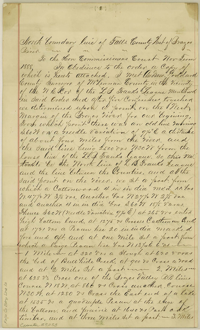
Falls County Boundary File 1a

Print $56.00
- Digital $50.00
Falls County Boundary File 1a
1888
Size: 14.6 x 9.2 inches
53253
Fannin County, Texas


Print $20.00
- Digital $50.00
Fannin County, Texas
1870
Size: 22.7 x 18.8 inches
725
Fannin County Boundary File 1


Print $14.00
- Digital $50.00
Fannin County Boundary File 1
Size: 13.2 x 8.6 inches
53272
Fannin County Boundary File 10a and 10b and 10c


Print $4.00
- Digital $50.00
Fannin County Boundary File 10a and 10b and 10c
Size: 11.3 x 8.8 inches
53325
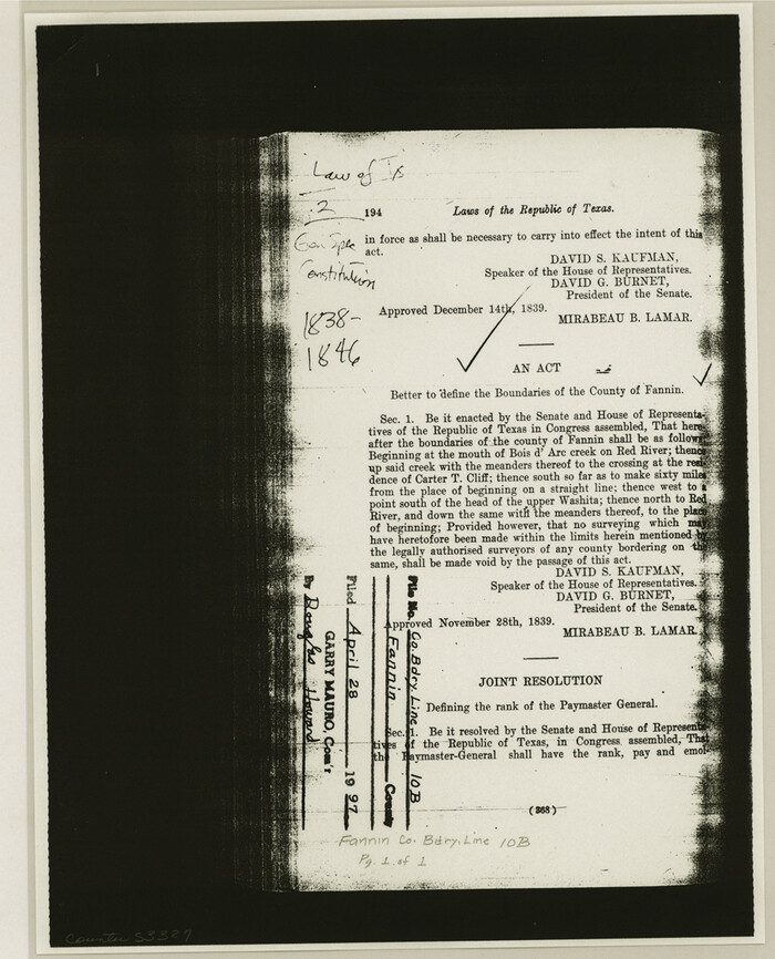
Fannin County Boundary File 10a and 10b and 10c

Print $2.00
- Digital $50.00
Fannin County Boundary File 10a and 10b and 10c
Size: 11.2 x 9.1 inches
53327
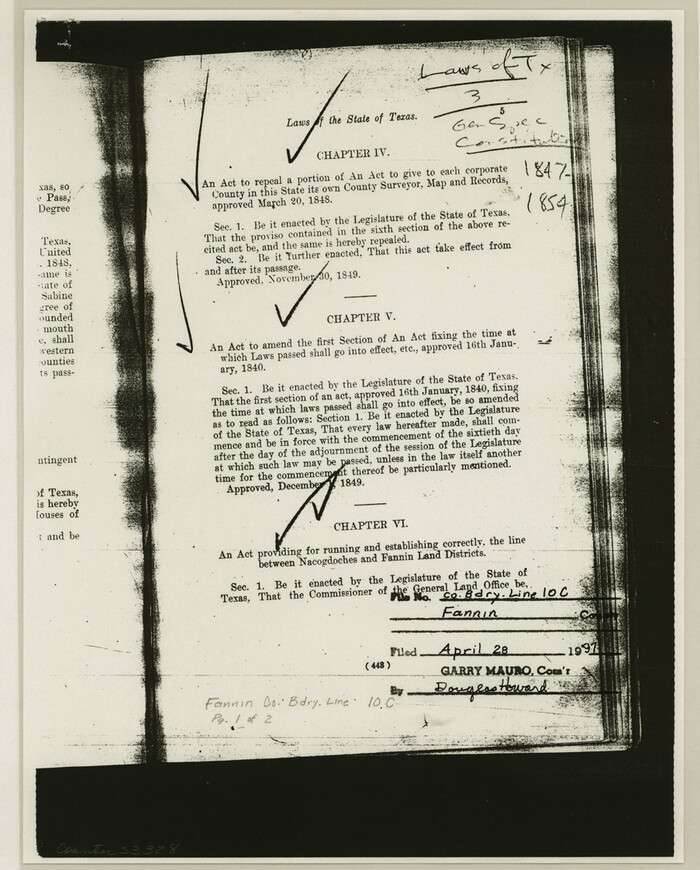
Fannin County Boundary File 10a and 10b and 10c

Print $4.00
- Digital $50.00
Fannin County Boundary File 10a and 10b and 10c
Size: 11.2 x 9.0 inches
53328
Fannin County Boundary File 1a


Print $40.00
- Digital $50.00
Fannin County Boundary File 1a
1882
Size: 36.5 x 9.5 inches
53279
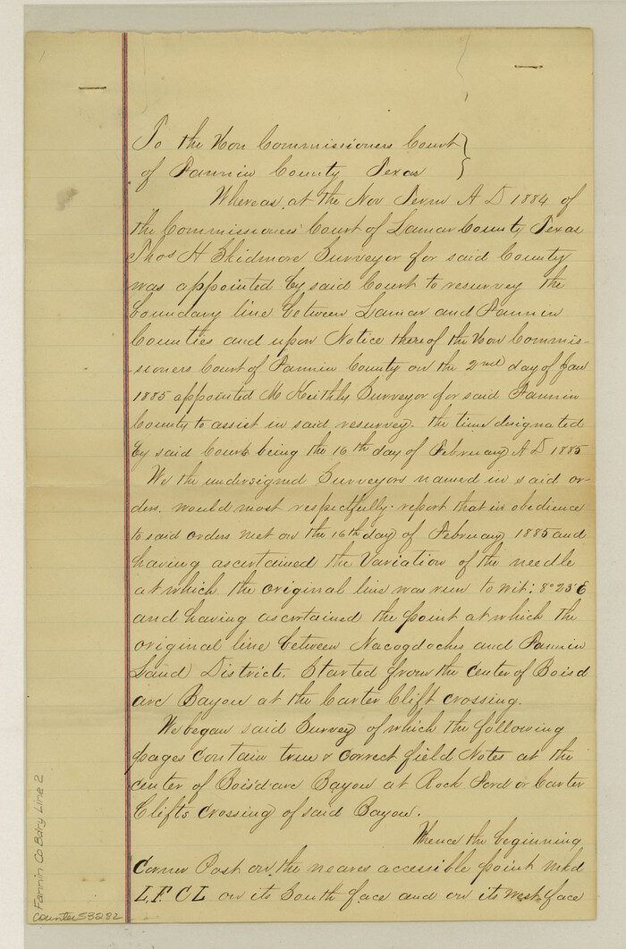
Fannin County Boundary File 2

Print $27.00
- Digital $50.00
Fannin County Boundary File 2
Size: 13.4 x 8.8 inches
53282
Fannin County Boundary File 3


Print $36.00
- Digital $50.00
Fannin County Boundary File 3
Size: 13.2 x 8.8 inches
53295
Fannin County Boundary File 4


Print $10.00
- Digital $50.00
Fannin County Boundary File 4
Size: 8.5 x 8.6 inches
53304
Fannin County Boundary File 5


Print $44.00
- Digital $50.00
Fannin County Boundary File 5
Size: 22.3 x 7.7 inches
53309
Fannin County Boundary File 7


Print $42.00
- Digital $50.00
Fannin County Boundary File 7
Size: 5.3 x 31.1 inches
53313
Fannin County Boundary File 8
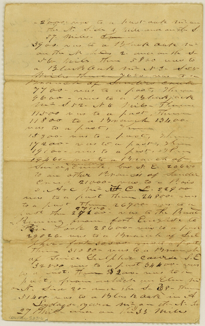

Print $8.00
- Digital $50.00
Fannin County Boundary File 8
Size: 12.8 x 8.1 inches
53316
Fannin County Boundary File 9
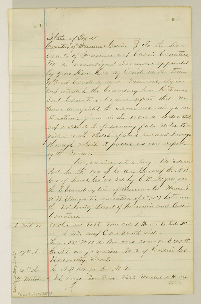

Print $14.00
- Digital $50.00
Fannin County Boundary File 9
Size: 13.2 x 8.8 inches
53318
Fannin County No. 2 McClure & M. H. Wright's map, Sulphur
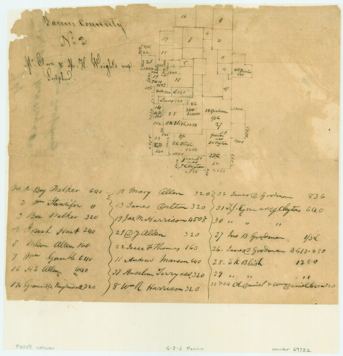

Print $2.00
- Digital $50.00
Fannin County No. 2 McClure & M. H. Wright's map, Sulphur
1844
Size: 8.4 x 8.1 inches
69732
Fannin County Rolled Sketch 18A
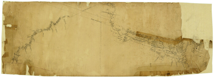

Print $20.00
- Digital $50.00
Fannin County Rolled Sketch 18A
Size: 15.1 x 33.6 inches
5868
Fannin County Rolled Sketch 18B


Print $20.00
- Digital $50.00
Fannin County Rolled Sketch 18B
Size: 12.7 x 16.1 inches
5869
Fannin County Rolled Sketch 18C


Print $20.00
- Digital $50.00
Fannin County Rolled Sketch 18C
Size: 16.0 x 12.9 inches
5870
Cooke County Sketch File 34


Print $44.00
- Digital $50.00
Cooke County Sketch File 34
-
Size
11.8 x 8.2 inches
-
Map/Doc
19298
English Field Notes of the Spanish Archives - Books BTB, GA, BT, and X


English Field Notes of the Spanish Archives - Books BTB, GA, BT, and X
1835
-
Map/Doc
96554
-
Creation Date
1835
English Field Notes of the Spanish Archives - Books TJG, DB, A, A2, B, B2, WB, and WR


English Field Notes of the Spanish Archives - Books TJG, DB, A, A2, B, B2, WB, and WR
1835
-
Map/Doc
96553
-
Creation Date
1835
Falls County Boundary File 1a


Print $56.00
- Digital $50.00
Falls County Boundary File 1a
1888
-
Size
14.6 x 9.2 inches
-
Map/Doc
53253
-
Creation Date
1888
Fannin
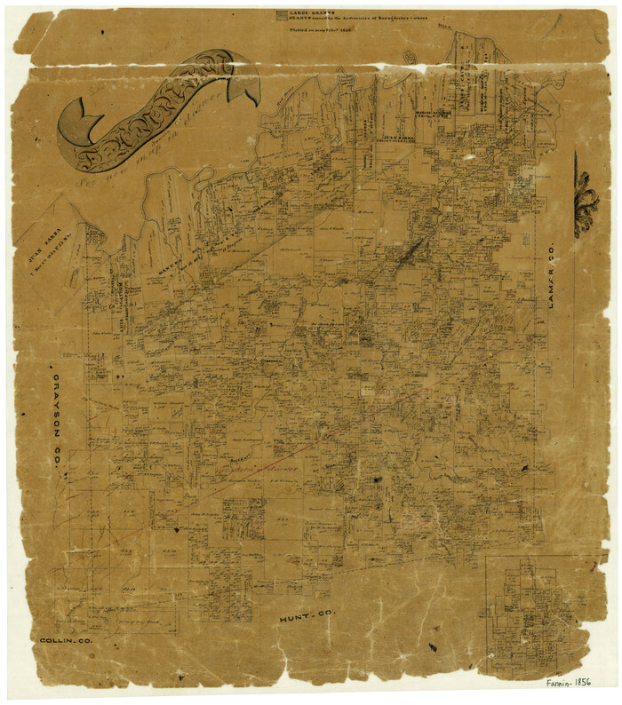

Print $20.00
- Digital $50.00
Fannin
1856
-
Size
21.9 x 19.2 inches
-
Map/Doc
3535
-
Creation Date
1856
Fannin County, Texas


Print $20.00
- Digital $50.00
Fannin County, Texas
1870
-
Size
22.7 x 18.8 inches
-
Map/Doc
725
-
Creation Date
1870
Fannin Co.
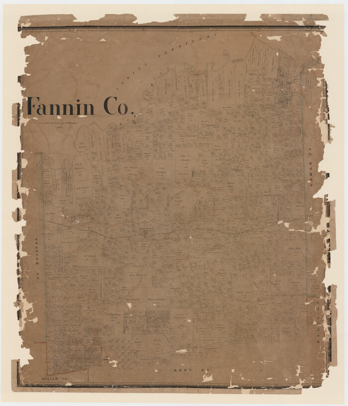

Print $20.00
- Digital $50.00
Fannin Co.
1892
-
Size
44.4 x 38.0 inches
-
Map/Doc
4715
-
Creation Date
1892
Fannin Co.
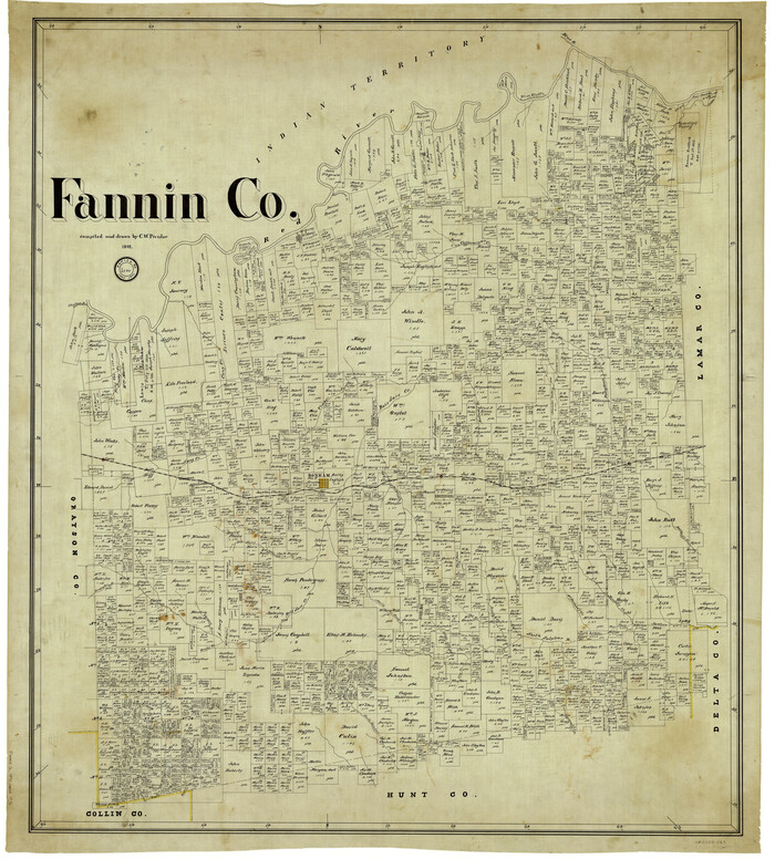

Print $20.00
- Digital $50.00
Fannin Co.
1892
-
Size
41.4 x 37.4 inches
-
Map/Doc
4944
-
Creation Date
1892
Fannin County
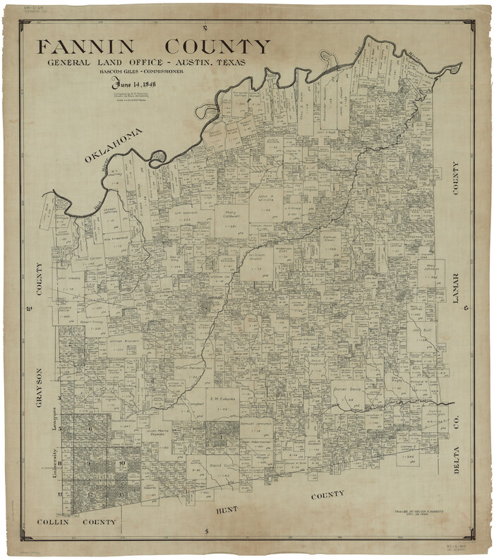

Print $20.00
- Digital $50.00
Fannin County
1946
-
Size
42.6 x 37.6 inches
-
Map/Doc
1825
-
Creation Date
1946
Fannin County
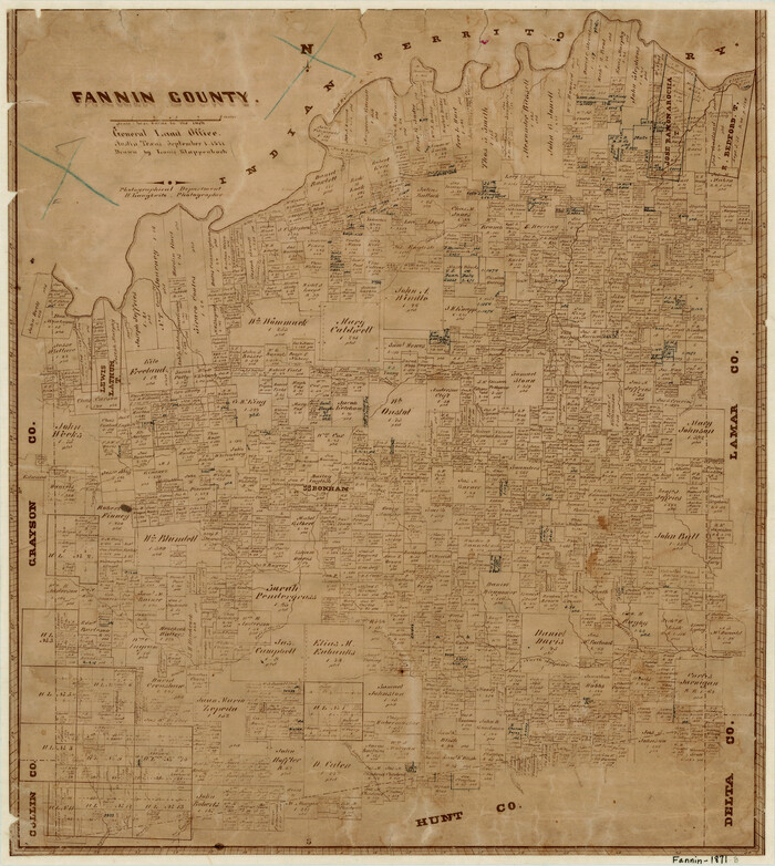

Print $20.00
- Digital $50.00
Fannin County
1871
-
Size
18.9 x 17.0 inches
-
Map/Doc
3533
-
Creation Date
1871
Fannin County
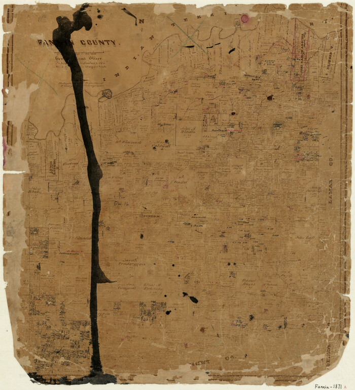

Print $20.00
- Digital $50.00
Fannin County
1871
-
Size
19.2 x 17.6 inches
-
Map/Doc
3536
-
Creation Date
1871
Fannin County


Print $20.00
- Digital $50.00
Fannin County
1946
-
Size
42.3 x 37.4 inches
-
Map/Doc
73145
-
Creation Date
1946
Fannin County


Print $20.00
- Digital $50.00
Fannin County
1946
-
Size
40.6 x 35.4 inches
-
Map/Doc
77277
-
Creation Date
1946
Fannin County
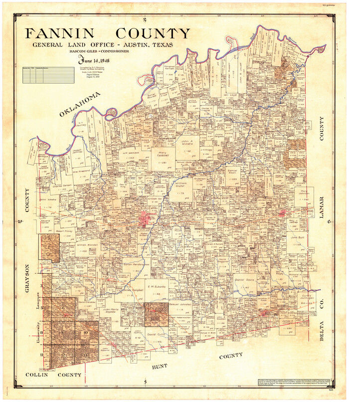

Print $20.00
- Digital $50.00
Fannin County
1946
-
Size
44.0 x 38.6 inches
-
Map/Doc
95495
-
Creation Date
1946
Fannin County Boundary File 1


Print $14.00
- Digital $50.00
Fannin County Boundary File 1
-
Size
13.2 x 8.6 inches
-
Map/Doc
53272
Fannin County Boundary File 10a and 10b and 10c


Print $4.00
- Digital $50.00
Fannin County Boundary File 10a and 10b and 10c
-
Size
11.3 x 8.8 inches
-
Map/Doc
53325
Fannin County Boundary File 10a and 10b and 10c


Print $2.00
- Digital $50.00
Fannin County Boundary File 10a and 10b and 10c
-
Size
11.2 x 9.1 inches
-
Map/Doc
53327
Fannin County Boundary File 10a and 10b and 10c


Print $4.00
- Digital $50.00
Fannin County Boundary File 10a and 10b and 10c
-
Size
11.2 x 9.0 inches
-
Map/Doc
53328
Fannin County Boundary File 1a


Print $40.00
- Digital $50.00
Fannin County Boundary File 1a
1882
-
Size
36.5 x 9.5 inches
-
Map/Doc
53279
-
Creation Date
1882
Fannin County Boundary File 2


Print $27.00
- Digital $50.00
Fannin County Boundary File 2
-
Size
13.4 x 8.8 inches
-
Map/Doc
53282
Fannin County Boundary File 3


Print $36.00
- Digital $50.00
Fannin County Boundary File 3
-
Size
13.2 x 8.8 inches
-
Map/Doc
53295
Fannin County Boundary File 4


Print $10.00
- Digital $50.00
Fannin County Boundary File 4
-
Size
8.5 x 8.6 inches
-
Map/Doc
53304
Fannin County Boundary File 5


Print $44.00
- Digital $50.00
Fannin County Boundary File 5
-
Size
22.3 x 7.7 inches
-
Map/Doc
53309
Fannin County Boundary File 7


Print $42.00
- Digital $50.00
Fannin County Boundary File 7
-
Size
5.3 x 31.1 inches
-
Map/Doc
53313
Fannin County Boundary File 8


Print $8.00
- Digital $50.00
Fannin County Boundary File 8
-
Size
12.8 x 8.1 inches
-
Map/Doc
53316
Fannin County Boundary File 9


Print $14.00
- Digital $50.00
Fannin County Boundary File 9
-
Size
13.2 x 8.8 inches
-
Map/Doc
53318
Fannin County No. 2 McClure & M. H. Wright's map, Sulphur


Print $2.00
- Digital $50.00
Fannin County No. 2 McClure & M. H. Wright's map, Sulphur
1844
-
Size
8.4 x 8.1 inches
-
Map/Doc
69732
-
Creation Date
1844
Fannin County Rolled Sketch 18A


Print $20.00
- Digital $50.00
Fannin County Rolled Sketch 18A
-
Size
15.1 x 33.6 inches
-
Map/Doc
5868
Fannin County Rolled Sketch 18B


Print $20.00
- Digital $50.00
Fannin County Rolled Sketch 18B
-
Size
12.7 x 16.1 inches
-
Map/Doc
5869
Fannin County Rolled Sketch 18C


Print $20.00
- Digital $50.00
Fannin County Rolled Sketch 18C
-
Size
16.0 x 12.9 inches
-
Map/Doc
5870