122 results

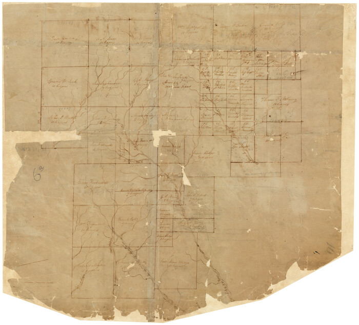
[Surveys on the Sabine River, Sulphur Fork of the Red River, and the Bois d'Arc River for Johnson, Williams, and Peebles' contract and G. W. Smyth, commissioner]
44-1.tif
Print $20.00 - Digital $50.00

[Surveys on the Sabine River, Sulphur Fork of the Red River, and the Bois d'Arc River for Johnson, Williams, and Peebles' contract and G. W. Smyth, commissioner]

1835
Size: 23.6 x 25.9 inches
44
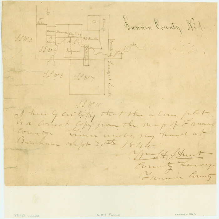
[Surveys in the Fannin District: Bois d'Arc Creek, Sulphur Creek]
263.tif
Print $2.00 - Digital $50.00

[Surveys in the Fannin District: Bois d'Arc Creek, Sulphur Creek]

1844
Size: 7.9 x 7.9 inches
263
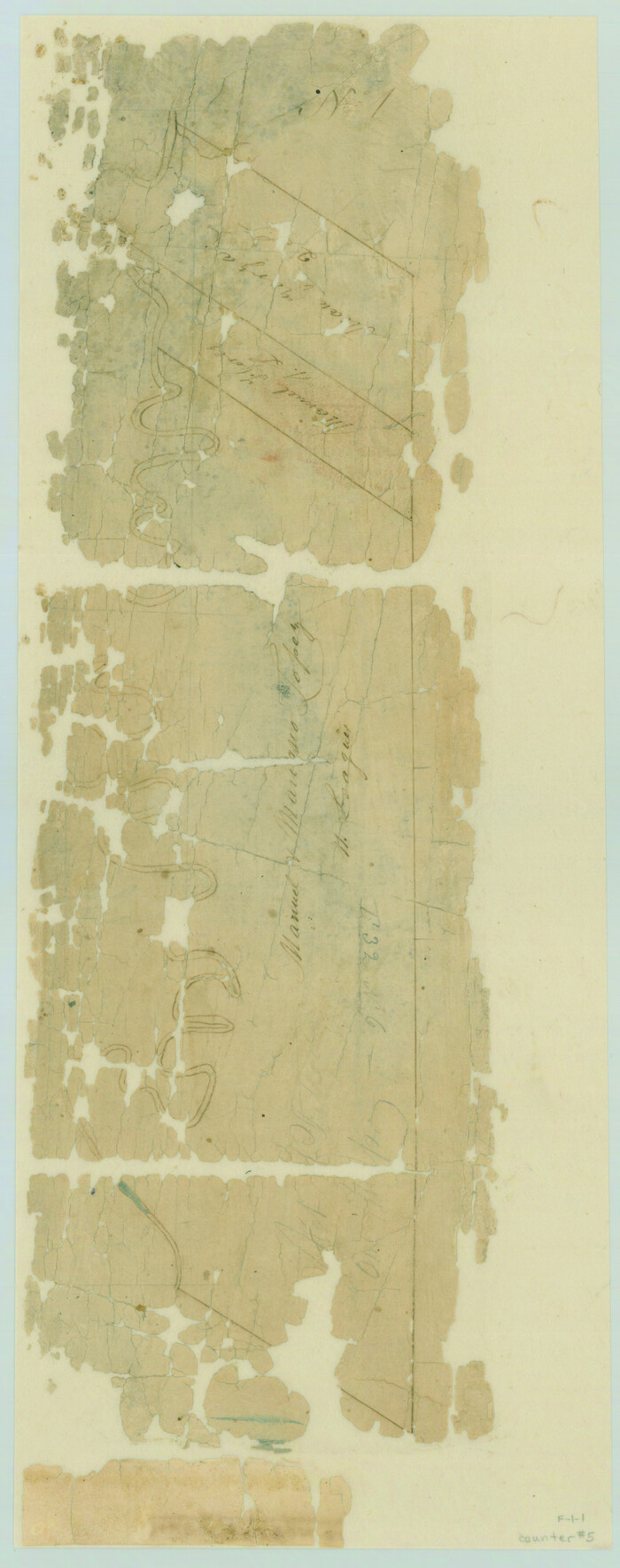
[Surveys along the Red River]
5.tif
Print $2.00 - Digital $50.00

[Surveys along the Red River]

Size: 14.1 x 5.6 inches
5
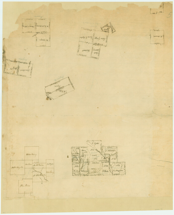
[Surveys along the Red River, Bois d'Arc Creek, Duck Creek, and Choctaw Bayou made under G.W. Smyth, Commissioner]
74.tif
Print $20.00 - Digital $50.00

[Surveys along the Red River, Bois d'Arc Creek, Duck Creek, and Choctaw Bayou made under G.W. Smyth, Commissioner]

1834

Size: 19.7 x 16.0 inches
74
Water-Shed of the Sulphur River in Texas Drainage Area
65154.tif
Print $4.00 - Digital $50.00

Water-Shed of the Sulphur River in Texas Drainage Area

1925
Size: 16.6 x 28.4 inches
65154
Trinity River, Watershed
65255-GC.tif
Print $20.00 - Digital $50.00

Trinity River, Watershed

1925

Size: 46.9 x 40.5 inches
65255
The Republic County of Fannin. November 28. 1839
96129.tif
Print $20.00 - Digital $50.00

The Republic County of Fannin. November 28. 1839

2020

Size: 6.4 x 10.8 inches
96129
The Republic County of Fannin. December 29, 1845
96130.tif
Print $20.00 - Digital $50.00

The Republic County of Fannin. December 29, 1845

2020

Size: 6.4 x 10.8 inches
96130
The Republic County of Fannin. Created, December 14, 1837
96128.tif
Print $20.00 - Digital $50.00

The Republic County of Fannin. Created, December 14, 1837

2020

Size: 7.5 x 10.9 inches
96128
Red River, Levee Improvement Districts Widths of Floodways - Bois D'Arc Creek
65271.tif
Print $20.00 - Digital $50.00

Red River, Levee Improvement Districts Widths of Floodways - Bois D'Arc Creek

1921
Size: 29.5 x 26.0 inches
65271
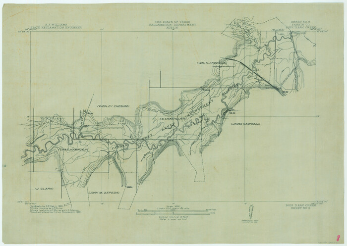
Red River, Bois D'Arc Creek Floodway Sheet No. 8
65272.tif
Print $20.00 - Digital $50.00

Red River, Bois D'Arc Creek Floodway Sheet No. 8

1928
Size: 17.6 x 24.8 inches
65272
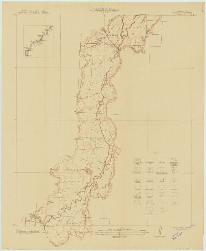
Red River, Bois D'Arc Creek Floodway Sheet No. 7
69662.tif
Print $20.00 - Digital $50.00

Red River, Bois D'Arc Creek Floodway Sheet No. 7

1917

Size: 29.0 x 23.8 inches
69662
Red River, Bois D'Arc Creek Floodway Sheet No. 6
69661.tif
Print $20.00 - Digital $50.00

Red River, Bois D'Arc Creek Floodway Sheet No. 6

1917
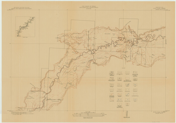
Size: 28.9 x 23.4 inches
69661
Red River, Bois D'Arc Creek Floodway Sheet No. 5
69660.tif
Print $20.00 - Digital $50.00

Red River, Bois D'Arc Creek Floodway Sheet No. 5

1915

Size: 22.3 x 31.9 inches
69660
Red River, Bois D'Arc Creek Floodway Sheet No. 4
69659.tif
Print $20.00 - Digital $50.00

Red River, Bois D'Arc Creek Floodway Sheet No. 4

1917
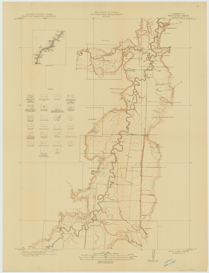
Size: 20.3 x 28.9 inches
69659
Red River, Bois D'Arc Creek Floodway Sheet No. 3
69658.tif
Print $20.00 - Digital $50.00

Red River, Bois D'Arc Creek Floodway Sheet No. 3

1917
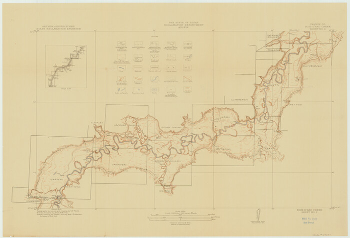
Size: 28.8 x 22.0 inches
69658
Red River, Bois D'Arc Creek Floodway Sheet No. 2
69657.tif
Print $20.00 - Digital $50.00

Red River, Bois D'Arc Creek Floodway Sheet No. 2

1917

Size: 20.4 x 29.9 inches
69657
Red River, Bois D'Arc Creek Floodway Sheet No. 1
69656.tif
Print $20.00 - Digital $50.00

Red River, Bois D'Arc Creek Floodway Sheet No. 1

1915
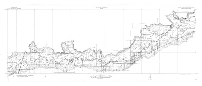
Size: 28.8 x 25.9 inches
69656
North Sulphur River, Ben Franklin Sheet
65172.tif
Print $40.00 - Digital $50.00

North Sulphur River, Ben Franklin Sheet

1928

Size: 24.6 x 57.4 inches
65172
North Sulphur River, Ben Franklin Sheet
78324.tif
Print $20.00 - Digital $50.00

North Sulphur River, Ben Franklin Sheet

1928
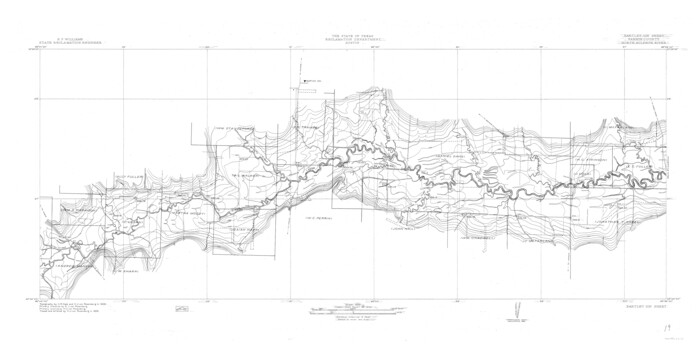
Size: 14.2 x 30.0 inches
78324
North Sulphur River, Bartley Gin Sheet
65173.tif
Print $20.00 - Digital $50.00

North Sulphur River, Bartley Gin Sheet

1928

Size: 21.1 x 42.5 inches
65173
North Sulphur River, Bartley Gin Sheet
78323.tif
Print $20.00 - Digital $50.00

North Sulphur River, Bartley Gin Sheet

1928

Size: 13.3 x 22.0 inches
78323
Map of the Recognised Line, M. El. P. & P. RR. from Texas & Arkansas State Line to Milam & Bexar Land District Line
64638.tif
Print $40.00 - Digital $50.00

Map of the Recognised Line, M. El. P. & P. RR. from Texas & Arkansas State Line to Milam & Bexar Land District Line

Size: 15.3 x 89.4 inches
64638
Map of the Lands Surveyed by the Memphis, El Paso & Pacific R.R. Company
2219.tif
Print $20.00 - Digital $50.00

Map of the Lands Surveyed by the Memphis, El Paso & Pacific R.R. Company

1859

Size: 15.0 x 30.0 inches
2219
Map of University Land part of Fifty League Grant Act of 1839
2430.tif
Print $20.00 - Digital $50.00

Map of University Land part of Fifty League Grant Act of 1839

1905

Size: 40.7 x 28.7 inches
2430
Map of Fannin County
16827.tif
Print $20.00 - Digital $50.00

Map of Fannin County

1845

Size: 34.7 x 36.5 inches
16827
Map of Fannin County
3534.tif
Print $20.00 - Digital $50.00

Map of Fannin County

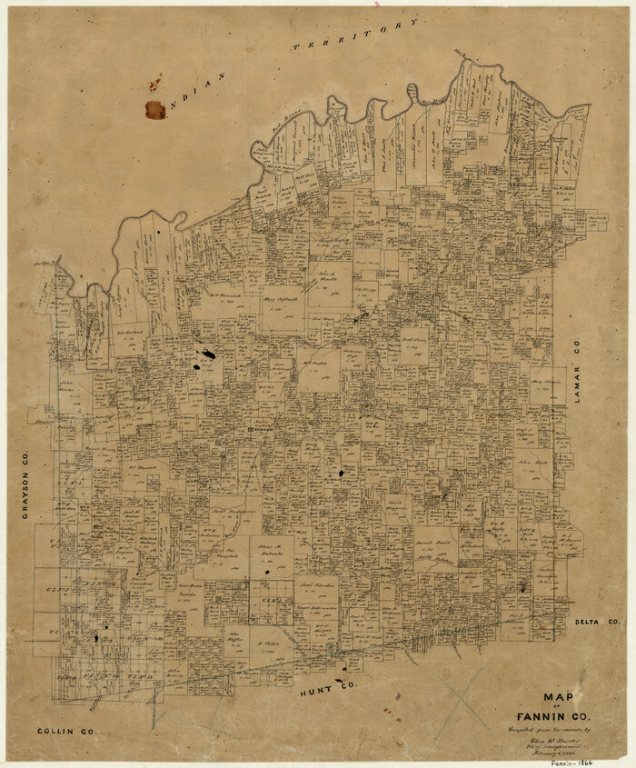
1866

Size: 21.9 x 18.1 inches
3534
Map of Fannin County
7821.tif
Print $40.00 - Digital $50.00

Map of Fannin County

1841

Size: 50.4 x 46.8 inches
7821
Map of Fannin County
87153-1.tif
Print $20.00 - Digital $50.00

Map of Fannin County

1845

Size: 34.7 x 47.0 inches
87153
Map of Baylor County Young Land District, formely Fannin District
3281-GC.tif
Print $20.00 - Digital $50.00

Map of Baylor County Young Land District, formely Fannin District

1859

Size: 25.8 x 20.0 inches
3281
[Surveys on the Sabine River, Sulphur Fork of the Red River, and the Bois d'Arc River for Johnson, Williams, and Peebles' contract and G. W. Smyth, commissioner]
44, [Surveys on the Sabine River, Sulphur Fork of the Red River, and the Bois d'Arc River for Johnson, Williams, and Peebles' contract and G. W. Smyth, commissioner], General Map Collection
Print $20.00 - Digital $50.00

[Surveys on the Sabine River, Sulphur Fork of the Red River, and the Bois d'Arc River for Johnson, Williams, and Peebles' contract and G. W. Smyth, commissioner]

1835

  • Size

    23.6 x 25.9 inches

  • Map/Doc

    44

  • Creation Date

    1835

[Surveys in the Fannin District: Bois d'Arc Creek, Sulphur Creek]
263, [Surveys in the Fannin District: Bois d'Arc Creek, Sulphur Creek], General Map Collection
Print $2.00 - Digital $50.00

[Surveys in the Fannin District: Bois d'Arc Creek, Sulphur Creek]

1844

  • Size

    7.9 x 7.9 inches

  • Map/Doc

    263

  • Creation Date

    1844

[Surveys along the Red River]
5, [Surveys along the Red River], General Map Collection
Print $2.00 - Digital $50.00

[Surveys along the Red River]

  • Size

    14.1 x 5.6 inches

  • Map/Doc

    5

[Surveys along the Red River, Bois d'Arc Creek, Duck Creek, and Choctaw Bayou made under G.W. Smyth, Commissioner]
74, [Surveys along the Red River, Bois d'Arc Creek, Duck Creek, and Choctaw Bayou made under G.W. Smyth, Commissioner], General Map Collection
Print $20.00 - Digital $50.00

[Surveys along the Red River, Bois d'Arc Creek, Duck Creek, and Choctaw Bayou made under G.W. Smyth, Commissioner]

1834

  • Size

    19.7 x 16.0 inches

  • Map/Doc

    74

  • Creation Date

    1834

Water-Shed of the Sulphur River in Texas Drainage Area
65154, Water-Shed of the Sulphur River in Texas Drainage Area, General Map Collection
Print $4.00 - Digital $50.00

Water-Shed of the Sulphur River in Texas Drainage Area

1925

  • Size

    16.6 x 28.4 inches

  • Map/Doc

    65154

  • Creation Date

    1925

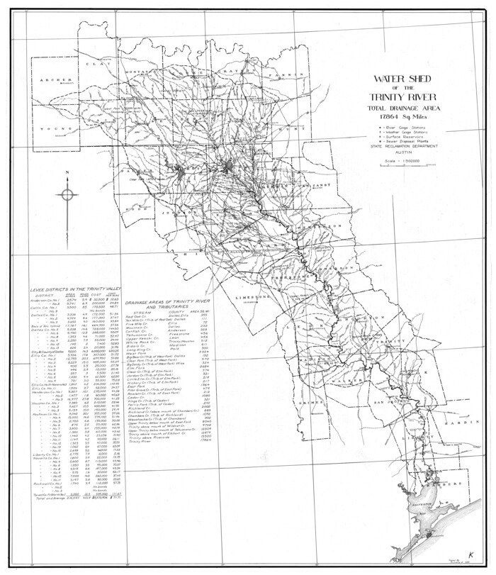
Trinity River, Watershed
65255, Trinity River, Watershed, General Map Collection
Print $20.00 - Digital $50.00

Trinity River, Watershed

1925

  • Size

    46.9 x 40.5 inches

  • Map/Doc

    65255

  • Creation Date

    1925

The Republic County of Fannin. November 28. 1839
96129, The Republic County of Fannin. November 28. 1839, Nancy and Jim Tiller Digital Collection
Print $20.00 - Digital $50.00

The Republic County of Fannin. November 28. 1839

2020

  • Size

    6.4 x 10.8 inches

  • Map/Doc

    96129

  • Creation Date

    2020

The Republic County of Fannin. December 29, 1845
96130, The Republic County of Fannin. December 29, 1845, Nancy and Jim Tiller Digital Collection
Print $20.00 - Digital $50.00

The Republic County of Fannin. December 29, 1845

2020

  • Size

    6.4 x 10.8 inches

  • Map/Doc

    96130

  • Creation Date

    2020

The Republic County of Fannin. Created, December 14, 1837
96128, The Republic County of Fannin. Created, December 14, 1837, Nancy and Jim Tiller Digital Collection
Print $20.00 - Digital $50.00

The Republic County of Fannin. Created, December 14, 1837

2020

  • Size

    7.5 x 10.9 inches

  • Map/Doc

    96128

  • Creation Date

    2020

Red River, Levee Improvement Districts Widths of Floodways - Bois D'Arc Creek
65271, Red River, Levee Improvement Districts Widths of Floodways - Bois D'Arc Creek, General Map Collection
Print $20.00 - Digital $50.00

Red River, Levee Improvement Districts Widths of Floodways - Bois D'Arc Creek

1921

  • Size

    29.5 x 26.0 inches

  • Map/Doc

    65271

  • Creation Date

    1921

Red River, Bois D'Arc Creek Floodway Sheet No. 8
65272, Red River, Bois D'Arc Creek Floodway Sheet No. 8, General Map Collection
Print $20.00 - Digital $50.00

Red River, Bois D'Arc Creek Floodway Sheet No. 8

1928

  • Size

    17.6 x 24.8 inches

  • Map/Doc

    65272

  • Creation Date

    1928

Red River, Bois D'Arc Creek Floodway Sheet No. 7
69662, Red River, Bois D'Arc Creek Floodway Sheet No. 7, General Map Collection
Print $20.00 - Digital $50.00

Red River, Bois D'Arc Creek Floodway Sheet No. 7

1917

  • Size

    29.0 x 23.8 inches

  • Map/Doc

    69662

  • Creation Date

    1917

Red River, Bois D'Arc Creek Floodway Sheet No. 6
69661, Red River, Bois D'Arc Creek Floodway Sheet No. 6, General Map Collection
Print $20.00 - Digital $50.00

Red River, Bois D'Arc Creek Floodway Sheet No. 6

1917

  • Size

    28.9 x 23.4 inches

  • Map/Doc

    69661

  • Creation Date

    1917

Red River, Bois D'Arc Creek Floodway Sheet No. 5
69660, Red River, Bois D'Arc Creek Floodway Sheet No. 5, General Map Collection
Print $20.00 - Digital $50.00

Red River, Bois D'Arc Creek Floodway Sheet No. 5

1915

  • Size

    22.3 x 31.9 inches

  • Map/Doc

    69660

  • Creation Date

    1915

Red River, Bois D'Arc Creek Floodway Sheet No. 4
69659, Red River, Bois D'Arc Creek Floodway Sheet No. 4, General Map Collection
Print $20.00 - Digital $50.00

Red River, Bois D'Arc Creek Floodway Sheet No. 4

1917

  • Size

    20.3 x 28.9 inches

  • Map/Doc

    69659

  • Creation Date

    1917

Red River, Bois D'Arc Creek Floodway Sheet No. 3
69658, Red River, Bois D'Arc Creek Floodway Sheet No. 3, General Map Collection
Print $20.00 - Digital $50.00

Red River, Bois D'Arc Creek Floodway Sheet No. 3

1917

  • Size

    28.8 x 22.0 inches

  • Map/Doc

    69658

  • Creation Date

    1917

Red River, Bois D'Arc Creek Floodway Sheet No. 2
69657, Red River, Bois D'Arc Creek Floodway Sheet No. 2, General Map Collection
Print $20.00 - Digital $50.00

Red River, Bois D'Arc Creek Floodway Sheet No. 2

1917

  • Size

    20.4 x 29.9 inches

  • Map/Doc

    69657

  • Creation Date

    1917

Red River, Bois D'Arc Creek Floodway Sheet No. 1
69656, Red River, Bois D'Arc Creek Floodway Sheet No. 1, General Map Collection
Print $20.00 - Digital $50.00

Red River, Bois D'Arc Creek Floodway Sheet No. 1

1915

  • Size

    28.8 x 25.9 inches

  • Map/Doc

    69656

  • Creation Date

    1915

North Sulphur River, Ben Franklin Sheet
65172, North Sulphur River, Ben Franklin Sheet, General Map Collection
Print $40.00 - Digital $50.00

North Sulphur River, Ben Franklin Sheet

1928

  • Size

    24.6 x 57.4 inches

  • Map/Doc

    65172

  • Creation Date

    1928

North Sulphur River, Ben Franklin Sheet
78324, North Sulphur River, Ben Franklin Sheet, General Map Collection
Print $20.00 - Digital $50.00

North Sulphur River, Ben Franklin Sheet

1928

  • Size

    14.2 x 30.0 inches

  • Map/Doc

    78324

  • Creation Date

    1928

North Sulphur River, Bartley Gin Sheet
65173, North Sulphur River, Bartley Gin Sheet, General Map Collection
Print $20.00 - Digital $50.00

North Sulphur River, Bartley Gin Sheet

1928

  • Size

    21.1 x 42.5 inches

  • Map/Doc

    65173

  • Creation Date

    1928

North Sulphur River, Bartley Gin Sheet
78323, North Sulphur River, Bartley Gin Sheet, General Map Collection
Print $20.00 - Digital $50.00

North Sulphur River, Bartley Gin Sheet

1928

  • Size

    13.3 x 22.0 inches

  • Map/Doc

    78323

  • Creation Date

    1928

Map of the Recognised Line, M. El. P. & P. RR. from Texas & Arkansas State Line to Milam & Bexar Land District Line
64638, Map of the Recognised Line, M. El. P. & P. RR. from Texas & Arkansas State Line to Milam & Bexar Land District Line, General Map Collection
Print $40.00 - Digital $50.00

Map of the Recognised Line, M. El. P. & P. RR. from Texas & Arkansas State Line to Milam & Bexar Land District Line

  • Size

    15.3 x 89.4 inches

  • Map/Doc

    64638

Map of the Lands Surveyed by the Memphis, El Paso & Pacific R.R. Company
2219, Map of the Lands Surveyed by the Memphis, El Paso & Pacific R.R. Company, General Map Collection
Print $20.00 - Digital $50.00

Map of the Lands Surveyed by the Memphis, El Paso & Pacific R.R. Company

1859

  • Size

    15.0 x 30.0 inches

  • Map/Doc

    2219

  • Creation Date

    1859

Map of University Land part of Fifty League Grant Act of 1839
2430, Map of University Land part of Fifty League Grant Act of 1839, General Map Collection
Print $20.00 - Digital $50.00

Map of University Land part of Fifty League Grant Act of 1839

1905

  • Size

    40.7 x 28.7 inches

  • Map/Doc

    2430

  • Creation Date

    1905

Map of Fannin County
16827, Map of Fannin County, General Map Collection
Print $20.00 - Digital $50.00

Map of Fannin County

1845

  • Size

    34.7 x 36.5 inches

  • Map/Doc

    16827

  • Creation Date

    1845

Map of Fannin County
3534, Map of Fannin County, General Map Collection
Print $20.00 - Digital $50.00

Map of Fannin County

1866

  • Size

    21.9 x 18.1 inches

  • Map/Doc

    3534

  • Creation Date

    1866

Map of Fannin County
7821, Map of Fannin County, General Map Collection
Print $40.00 - Digital $50.00

Map of Fannin County

1841

  • Size

    50.4 x 46.8 inches

  • Map/Doc

    7821

  • Creation Date

    1841

Map of Fannin County
87153, Map of Fannin County, General Map Collection
Print $20.00 - Digital $50.00

Map of Fannin County

1845

  • Size

    34.7 x 47.0 inches

  • Map/Doc

    87153

  • Creation Date

    1845

Map of Baylor County Young Land District, formely Fannin District
3281, Map of Baylor County Young Land District, formely Fannin District, General Map Collection
Print $20.00 - Digital $50.00

Map of Baylor County Young Land District, formely Fannin District

1859

  • Size

    25.8 x 20.0 inches

  • Map/Doc

    3281

  • Creation Date

    1859