90 results

[Traverse up the Brazos and Colorado River showing distance from county site to county site]
2054.tif
Print $40.00 - Digital $50.00

[Traverse up the Brazos and Colorado River showing distance from county site to county site]

1871
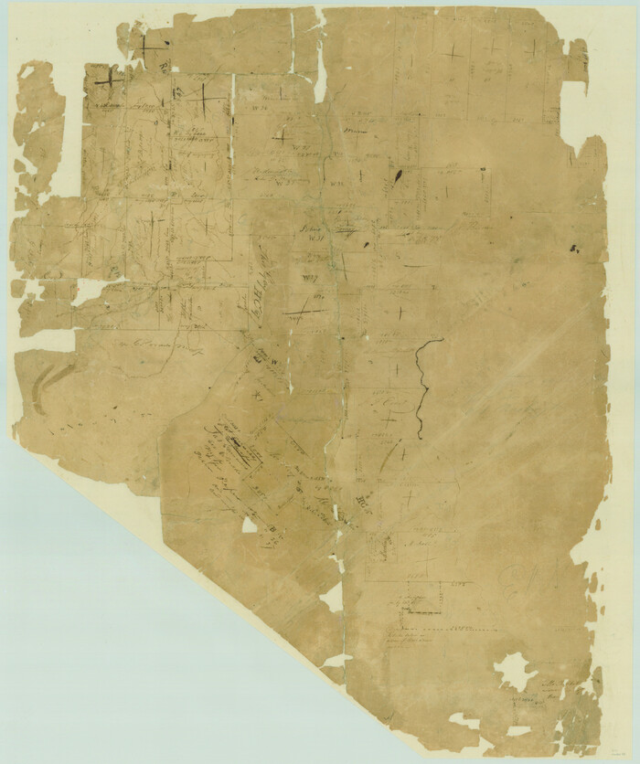
Size: 16.2 x 98.8 inches
2054
[Surveys in Austin's Colony by Horatio Chriesman along Mill and Cummins Creeks]
68.tif
Print $20.00 - Digital $50.00

[Surveys in Austin's Colony by Horatio Chriesman along Mill and Cummins Creeks]

1830
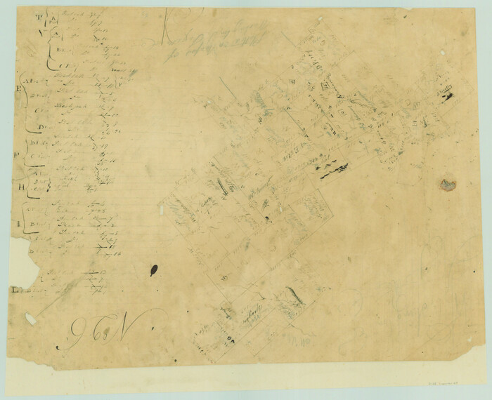
Size: 30.7 x 25.7 inches
68
[Surveys in Austin's Colony along the Yegua River and Cedar Creek]
67.tif
Print $20.00 - Digital $50.00

[Surveys in Austin's Colony along the Yegua River and Cedar Creek]

1835
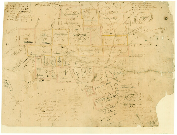
Size: 15.7 x 19.3 inches
67
[Surveys in Austin's Colony along the Navidad River, Caney Fork, and upper Rocky Creek]
201.tif
Print $20.00 - Digital $50.00

[Surveys in Austin's Colony along the Navidad River, Caney Fork, and upper Rocky Creek]

1831
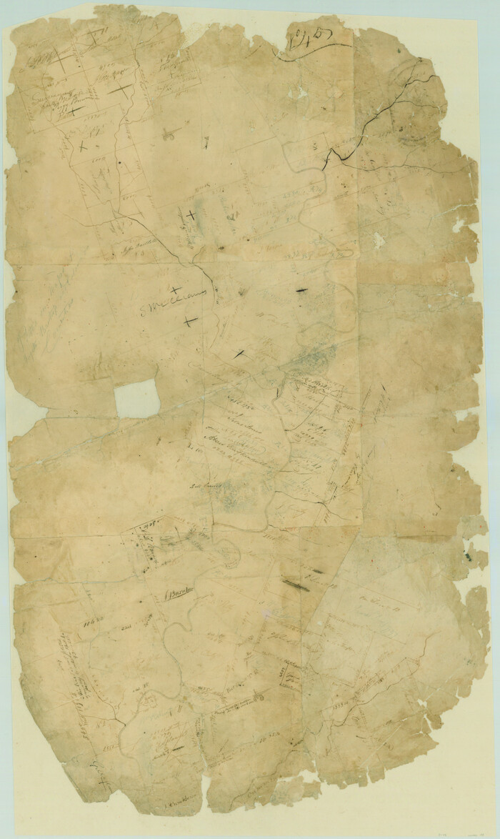
Size: 20.5 x 26.7 inches
201
[Surveys in Austin's Colony along the Colorado River]
198.tif
Print $20.00 - Digital $50.00

[Surveys in Austin's Colony along the Colorado River]

1830
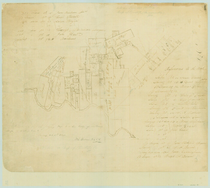
Size: 38.9 x 23.2 inches
198
[Surveys along the Colorado River]
61.tif
Print $20.00 - Digital $50.00

[Surveys along the Colorado River]

1841
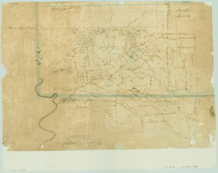
Size: 14.4 x 16.1 inches
61
[Surveys along Rabb's Creek]
154.tif
Print $2.00 - Digital $50.00

[Surveys along Rabb's Creek]

1841

Size: 8.7 x 11.0 inches
154
[San Antonio & Aransas Pass]
64210.tif
Print $20.00 - Digital $50.00

[San Antonio & Aransas Pass]

Size: 35.4 x 14.8 inches
64210
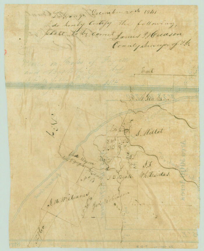
[Bastrop County line]
65.tif
Print $2.00 - Digital $50.00

[Bastrop County line]

1841

Size: 7.8 x 6.3 inches
65
Water-Shed of the Colorado River
65261-1.tif
Print $40.00 - Digital $50.00

Water-Shed of the Colorado River

1925

Size: 37.1 x 79.8 inches
65261
Washington County Sketch File 5
39652, Washington County Sketch File 5, General Map Collection
Print $4.00 - Digital $50.00

Washington County Sketch File 5

Size: 8.0 x 7.0 inches
39652
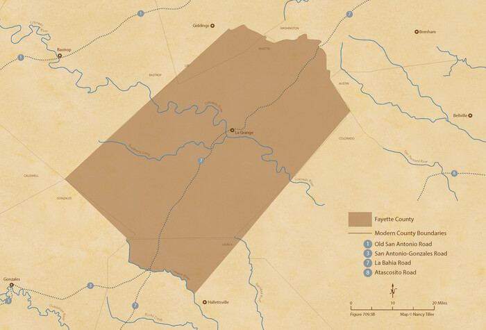
The Republic County of Fayette. Spring 1842
96135.tif
Print $20.00 - Digital $50.00

The Republic County of Fayette. Spring 1842

2020

Size: 7.4 x 10.9 inches
96135
The Republic County of Fayette. May 3, 1838
96132.tif
Print $20.00 - Digital $50.00

The Republic County of Fayette. May 3, 1838

2020
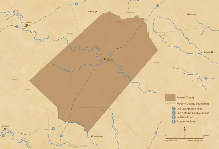
Size: 7.4 x 10.9 inches
96132
The Republic County of Fayette. May 24, 1838
96133.tif
Print $20.00 - Digital $50.00

The Republic County of Fayette. May 24, 1838

2020
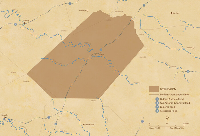
Size: 7.4 x 10.9 inches
96133
The Republic County of Fayette. January 29, 1842
96134.tif
Print $20.00 - Digital $50.00

The Republic County of Fayette. January 29, 1842

2020
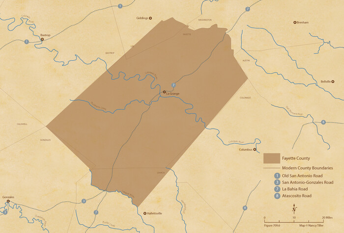
Size: 7.4 x 10.9 inches
96134
The Republic County of Fayette. December 29, 1845
96136.tif
Print $20.00 - Digital $50.00

The Republic County of Fayette. December 29, 1845

2020
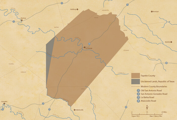
Size: 7.4 x 10.9 inches
96136
The Republic County of Fayette. Created, December 14, 1837
96131.tif
Print $20.00 - Digital $50.00

The Republic County of Fayette. Created, December 14, 1837

2020

Size: 7.4 x 10.9 inches
96131
Surveys in Austin's Colony along the Colorado River below the San Antonio Road
193.tif
Print $20.00 - Digital $50.00

Surveys in Austin's Colony along the Colorado River below the San Antonio Road

1830

Size: 38.2 x 13.5 inches
193
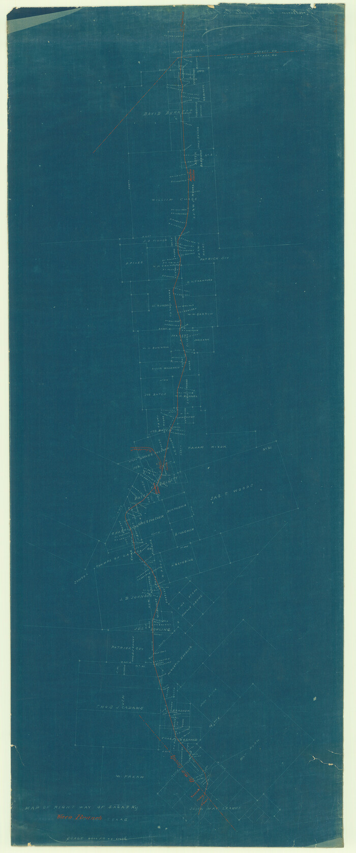
Right of Way & Track Map, San Antonio & Aransas Pass Railway Co.
64215.tif
Print $40.00 - Digital $50.00

Right of Way & Track Map, San Antonio & Aransas Pass Railway Co.

1919

Size: 25.0 x 56.7 inches
64215
Right of Way & Track Map, San Antonio & Aransas Pass Railway Co.
64216.tif
Print $40.00 - Digital $50.00

Right of Way & Track Map, San Antonio & Aransas Pass Railway Co.

1919
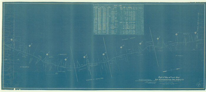
Size: 25.3 x 56.7 inches
64216
Right of Way & Track Map, San Antonio & Aransas Pass Railway Co.
64217.tif
Print $40.00 - Digital $50.00

Right of Way & Track Map, San Antonio & Aransas Pass Railway Co.

1919
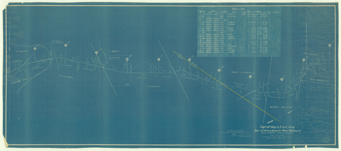
Size: 25.3 x 56.4 inches
64217
Right of Way & Track Map, San Antonio & Aransas Pass Railway Co.
64218.tif
Print $40.00 - Digital $50.00

Right of Way & Track Map, San Antonio & Aransas Pass Railway Co.

1919
Size: 25.2 x 56.8 inches
64218
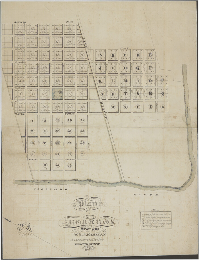
Plan of La Grange
94752.tif
Print $20.00

Plan of La Grange

1850

Size: 32.0 x 24.5 inches
94752
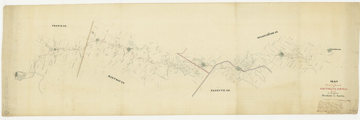
Map of the Western Branch of Houston & Tex. Central R.R. for the Distance from Brenham to Austin
64578.tif
Print $40.00 - Digital $50.00

Map of the Western Branch of Houston & Tex. Central R.R. for the Distance from Brenham to Austin

1872

Size: 32.6 x 97.3 inches
64578
Map of Taylor, Bastrop & Houston Railway through Colorado County, Texas
64289.tif
Print $20.00 - Digital $50.00

Map of Taylor, Bastrop & Houston Railway through Colorado County, Texas

1888

Size: 12.7 x 20.0 inches
64289
Map of Taylor, Bastrop & Houston Railroad in Austin County
64480.tif
Print $20.00 - Digital $50.00

Map of Taylor, Bastrop & Houston Railroad in Austin County

Size: 14.6 x 25.1 inches
64480
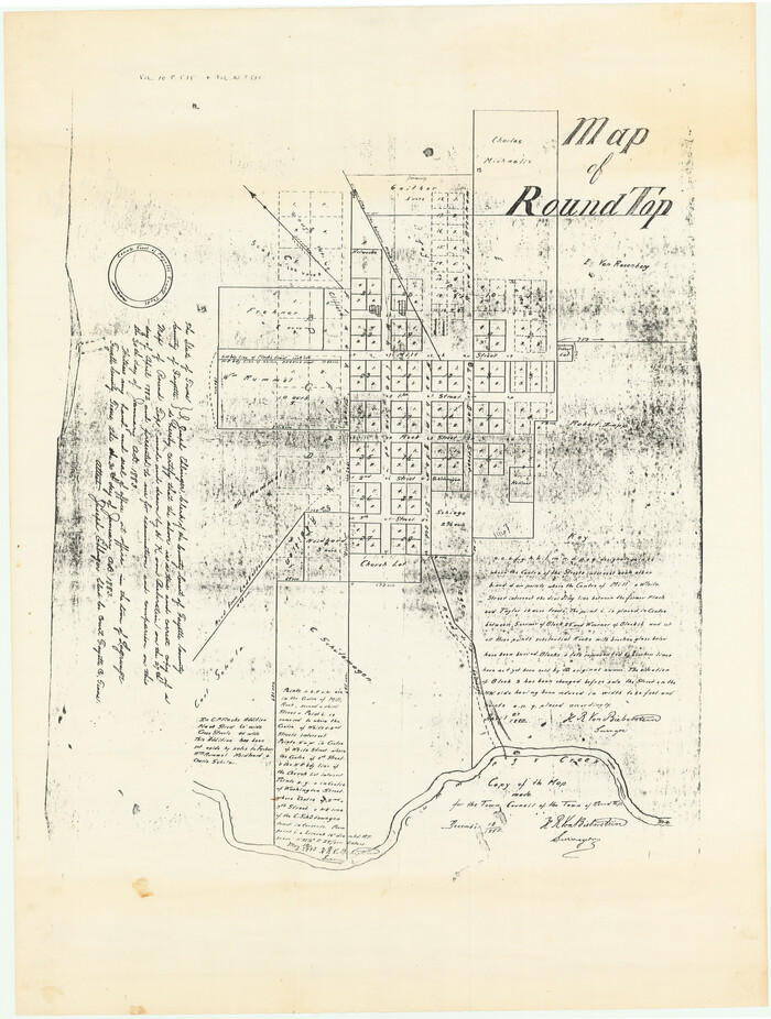
Map of Round Top
94751.tif
Print $20.00

Map of Round Top

1882

Size: 24.4 x 18.4 inches
94751
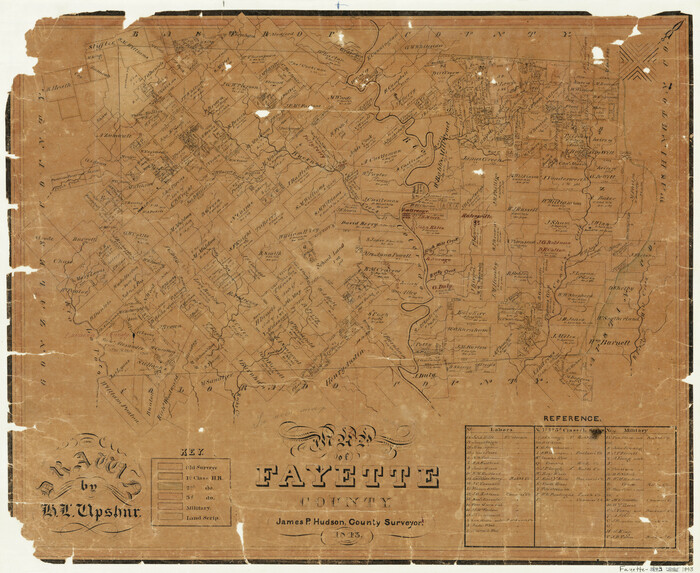
Map of Fayette County Texas
3539.tif
Print $20.00 - Digital $50.00

Map of Fayette County Texas

1840

Size: 26.4 x 22.6 inches
3539
Map of Fayette County
3537.tif
Print $20.00 - Digital $50.00

Map of Fayette County

1843

Size: 21.9 x 26.7 inches
3537
Map of Fayette County
3538-1.tif
Print $20.00 - Digital $50.00

Map of Fayette County

1871

Size: 19.2 x 22.0 inches
3538
[Traverse up the Brazos and Colorado River showing distance from county site to county site]
2054, [Traverse up the Brazos and Colorado River showing distance from county site to county site], General Map Collection
Print $40.00 - Digital $50.00

[Traverse up the Brazos and Colorado River showing distance from county site to county site]

1871

  • Size

    16.2 x 98.8 inches

  • Map/Doc

    2054

  • Creation Date

    1871

[Surveys in Austin's Colony by Horatio Chriesman along Mill and Cummins Creeks]
68, [Surveys in Austin's Colony by Horatio Chriesman along Mill and Cummins Creeks], General Map Collection
Print $20.00 - Digital $50.00

[Surveys in Austin's Colony by Horatio Chriesman along Mill and Cummins Creeks]

1830

  • Size

    30.7 x 25.7 inches

  • Map/Doc

    68

  • Creation Date

    1830

[Surveys in Austin's Colony along the Yegua River and Cedar Creek]
67, [Surveys in Austin's Colony along the Yegua River and Cedar Creek], General Map Collection
Print $20.00 - Digital $50.00

[Surveys in Austin's Colony along the Yegua River and Cedar Creek]

1835

  • Size

    15.7 x 19.3 inches

  • Map/Doc

    67

  • Creation Date

    1835

[Surveys in Austin's Colony along the Navidad River, Caney Fork, and upper Rocky Creek]
201, [Surveys in Austin's Colony along the Navidad River, Caney Fork, and upper Rocky Creek], General Map Collection
Print $20.00 - Digital $50.00

[Surveys in Austin's Colony along the Navidad River, Caney Fork, and upper Rocky Creek]

1831

  • Size

    20.5 x 26.7 inches

  • Map/Doc

    201

  • Creation Date

    1831

[Surveys in Austin's Colony along the Colorado River]
198, [Surveys in Austin's Colony along the Colorado River], General Map Collection
Print $20.00 - Digital $50.00

[Surveys in Austin's Colony along the Colorado River]

1830

  • Size

    38.9 x 23.2 inches

  • Map/Doc

    198

  • Creation Date

    1830

[Surveys along the Colorado River]
61, [Surveys along the Colorado River], General Map Collection
Print $20.00 - Digital $50.00

[Surveys along the Colorado River]

1841

  • Size

    14.4 x 16.1 inches

  • Map/Doc

    61

  • Creation Date

    1841

[Surveys along Rabb's Creek]
154, [Surveys along Rabb's Creek], General Map Collection
Print $2.00 - Digital $50.00

[Surveys along Rabb's Creek]

1841

  • Size

    8.7 x 11.0 inches

  • Map/Doc

    154

  • Creation Date

    1841

[San Antonio & Aransas Pass]
64210, [San Antonio & Aransas Pass], General Map Collection
Print $20.00 - Digital $50.00

[San Antonio & Aransas Pass]

  • Size

    35.4 x 14.8 inches

  • Map/Doc

    64210

[Bastrop County line]
65, [Bastrop County line], General Map Collection
Print $2.00 - Digital $50.00

[Bastrop County line]

1841

  • Size

    7.8 x 6.3 inches

  • Map/Doc

    65

  • Creation Date

    1841

Water-Shed of the Colorado River
65261, Water-Shed of the Colorado River, General Map Collection
Print $40.00 - Digital $50.00

Water-Shed of the Colorado River

1925

  • Size

    37.1 x 79.8 inches

  • Map/Doc

    65261

  • Creation Date

    1925

Washington County Sketch File 5
39652, Washington County Sketch File 5, General Map Collection
Print $4.00 - Digital $50.00

Washington County Sketch File 5

  • Size

    8.0 x 7.0 inches

  • Map/Doc

    39652

The Republic County of Fayette. Spring 1842
96135, The Republic County of Fayette. Spring 1842, Nancy and Jim Tiller Digital Collection
Print $20.00 - Digital $50.00

The Republic County of Fayette. Spring 1842

2020

  • Size

    7.4 x 10.9 inches

  • Map/Doc

    96135

  • Creation Date

    2020

The Republic County of Fayette. May 3, 1838
96132, The Republic County of Fayette. May 3, 1838, Nancy and Jim Tiller Digital Collection
Print $20.00 - Digital $50.00

The Republic County of Fayette. May 3, 1838

2020

  • Size

    7.4 x 10.9 inches

  • Map/Doc

    96132

  • Creation Date

    2020

The Republic County of Fayette. May 24, 1838
96133, The Republic County of Fayette. May 24, 1838, Nancy and Jim Tiller Digital Collection
Print $20.00 - Digital $50.00

The Republic County of Fayette. May 24, 1838

2020

  • Size

    7.4 x 10.9 inches

  • Map/Doc

    96133

  • Creation Date

    2020

The Republic County of Fayette. January 29, 1842
96134, The Republic County of Fayette. January 29, 1842, Nancy and Jim Tiller Digital Collection
Print $20.00 - Digital $50.00

The Republic County of Fayette. January 29, 1842

2020

  • Size

    7.4 x 10.9 inches

  • Map/Doc

    96134

  • Creation Date

    2020

The Republic County of Fayette. December 29, 1845
96136, The Republic County of Fayette. December 29, 1845, Nancy and Jim Tiller Digital Collection
Print $20.00 - Digital $50.00

The Republic County of Fayette. December 29, 1845

2020

  • Size

    7.4 x 10.9 inches

  • Map/Doc

    96136

  • Creation Date

    2020

The Republic County of Fayette. Created, December 14, 1837
96131, The Republic County of Fayette. Created, December 14, 1837, Nancy and Jim Tiller Digital Collection
Print $20.00 - Digital $50.00

The Republic County of Fayette. Created, December 14, 1837

2020

  • Size

    7.4 x 10.9 inches

  • Map/Doc

    96131

  • Creation Date

    2020

Surveys in Austin's Colony along the Colorado River below the San Antonio Road
193, Surveys in Austin's Colony along the Colorado River below the San Antonio Road, General Map Collection
Print $20.00 - Digital $50.00

Surveys in Austin's Colony along the Colorado River below the San Antonio Road

1830

  • Size

    38.2 x 13.5 inches

  • Map/Doc

    193

  • Creation Date

    1830

Right of Way & Track Map, San Antonio & Aransas Pass Railway Co.
64215, Right of Way & Track Map, San Antonio & Aransas Pass Railway Co., General Map Collection
Print $40.00 - Digital $50.00

Right of Way & Track Map, San Antonio & Aransas Pass Railway Co.

1919

  • Size

    25.0 x 56.7 inches

  • Map/Doc

    64215

  • Creation Date

    1919

Right of Way & Track Map, San Antonio & Aransas Pass Railway Co.
64216, Right of Way & Track Map, San Antonio & Aransas Pass Railway Co., General Map Collection
Print $40.00 - Digital $50.00

Right of Way & Track Map, San Antonio & Aransas Pass Railway Co.

1919

  • Size

    25.3 x 56.7 inches

  • Map/Doc

    64216

  • Creation Date

    1919

Right of Way & Track Map, San Antonio & Aransas Pass Railway Co.
64217, Right of Way & Track Map, San Antonio & Aransas Pass Railway Co., General Map Collection
Print $40.00 - Digital $50.00

Right of Way & Track Map, San Antonio & Aransas Pass Railway Co.

1919

  • Size

    25.3 x 56.4 inches

  • Map/Doc

    64217

  • Creation Date

    1919

Right of Way & Track Map, San Antonio & Aransas Pass Railway Co.
64218, Right of Way & Track Map, San Antonio & Aransas Pass Railway Co., General Map Collection
Print $40.00 - Digital $50.00

Right of Way & Track Map, San Antonio & Aransas Pass Railway Co.

1919

  • Size

    25.2 x 56.8 inches

  • Map/Doc

    64218

  • Creation Date

    1919

Plan of La Grange
94752, Plan of La Grange, Non-GLO Digital Images
Print $20.00

Plan of La Grange

1850

  • Size

    32.0 x 24.5 inches

  • Map/Doc

    94752

  • Creation Date

    1850

Map of the Western Branch of Houston & Tex. Central R.R. for the Distance from Brenham to Austin
64578, Map of the Western Branch of Houston & Tex. Central R.R. for the Distance from Brenham to Austin, General Map Collection
Print $40.00 - Digital $50.00

Map of the Western Branch of Houston & Tex. Central R.R. for the Distance from Brenham to Austin

1872

  • Size

    32.6 x 97.3 inches

  • Map/Doc

    64578

  • Creation Date

    1872

Map of Taylor, Bastrop & Houston Railway through Colorado County, Texas
64289, Map of Taylor, Bastrop & Houston Railway through Colorado County, Texas, General Map Collection
Print $20.00 - Digital $50.00

Map of Taylor, Bastrop & Houston Railway through Colorado County, Texas

1888

  • Size

    12.7 x 20.0 inches

  • Map/Doc

    64289

  • Creation Date

    1888

Map of Taylor, Bastrop & Houston Railroad in Austin County
64480, Map of Taylor, Bastrop & Houston Railroad in Austin County, General Map Collection
Print $20.00 - Digital $50.00

Map of Taylor, Bastrop & Houston Railroad in Austin County

  • Size

    14.6 x 25.1 inches

  • Map/Doc

    64480

Map of Round Top
94751, Map of Round Top, Non-GLO Digital Images
Print $20.00

Map of Round Top

1882

  • Size

    24.4 x 18.4 inches

  • Map/Doc

    94751

  • Creation Date

    1882

Map of Fayette County Texas
3539, Map of Fayette County Texas, General Map Collection
Print $20.00 - Digital $50.00

Map of Fayette County Texas

1840

  • Size

    26.4 x 22.6 inches

  • Map/Doc

    3539

  • Creation Date

    1840

Map of Fayette County
3537, Map of Fayette County, General Map Collection
Print $20.00 - Digital $50.00

Map of Fayette County

1843

  • Size

    21.9 x 26.7 inches

  • Map/Doc

    3537

  • Creation Date

    1843

Map of Fayette County
3538, Map of Fayette County, General Map Collection
Print $20.00 - Digital $50.00

Map of Fayette County

1871

  • Size

    19.2 x 22.0 inches

  • Map/Doc

    3538

  • Creation Date

    1871