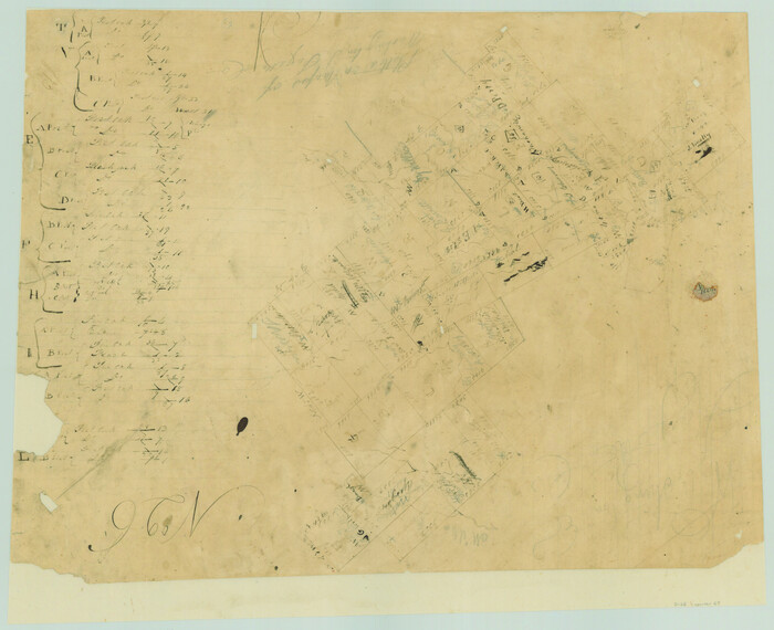
Fayette County Sketch File 1

Print $4.00
- Digital $50.00
Fayette County Sketch File 1
Size: 8.4 x 7.2 inches
22497
Fayette County Sketch File 4

Print $4.00
- Digital $50.00
Fayette County Sketch File 4
Size: 11.7 x 7.9 inches
22504
Fayette County Sketch File 5

Print $4.00
- Digital $50.00
Fayette County Sketch File 5
Size: 14.3 x 8.7 inches
22506
Washington County Sketch File 5

Print $4.00
- Digital $50.00
Washington County Sketch File 5
Size: 8.0 x 7.0 inches
39652
Fayette County Boundary File 1

Print $2.00
- Digital $50.00
Fayette County Boundary File 1
Size: 11.1 x 8.7 inches
53330
Fayette County Boundary File 2

Print $53.00
- Digital $50.00
Fayette County Boundary File 2
Size: 11.2 x 9.0 inches
53331
Fayette County Boundary File 2a

Print $8.00
- Digital $50.00
Fayette County Boundary File 2a
Size: 14.9 x 9.3 inches
53345
Fayette County Boundary File 3

Print $29.00
- Digital $50.00
Fayette County Boundary File 3
Size: 14.4 x 9.0 inches
53348
Fayette County Boundary File 4

Print $19.00
- Digital $50.00
Fayette County Boundary File 4
Size: 14.4 x 9.0 inches
53362
Fayette County Boundary File 5

Print $59.00
- Digital $50.00
Fayette County Boundary File 5
Size: 14.4 x 9.0 inches
53371
Fayette County Boundary File 6

Print $20.00
- Digital $50.00
Fayette County Boundary File 6
Size: 14.4 x 9.0 inches
53391
Fayette County Boundary File 7

Print $40.00
- Digital $50.00
Fayette County Boundary File 7
Size: 18.1 x 13.1 inches
53400
Fayette County Boundary File 8

Print $19.00
- Digital $50.00
Fayette County Boundary File 8
Size: 14.4 x 9.0 inches
53402
Fisher County Boundary File 1

Print $16.00
- Digital $50.00
Fisher County Boundary File 1
Size: 12.8 x 8.4 inches
53411
Fisher County Boundary File 2

Print $18.00
- Digital $50.00
Fisher County Boundary File 2
Size: 14.4 x 8.9 inches
53419
Fisher County Boundary File 3

Print $32.00
- Digital $50.00
Fisher County Boundary File 3
Size: 8.2 x 4.2 inches
53428
Fisher County Boundary File 3a

Print $20.00
- Digital $50.00
Fisher County Boundary File 3a
Size: 25.1 x 26.0 inches
53444
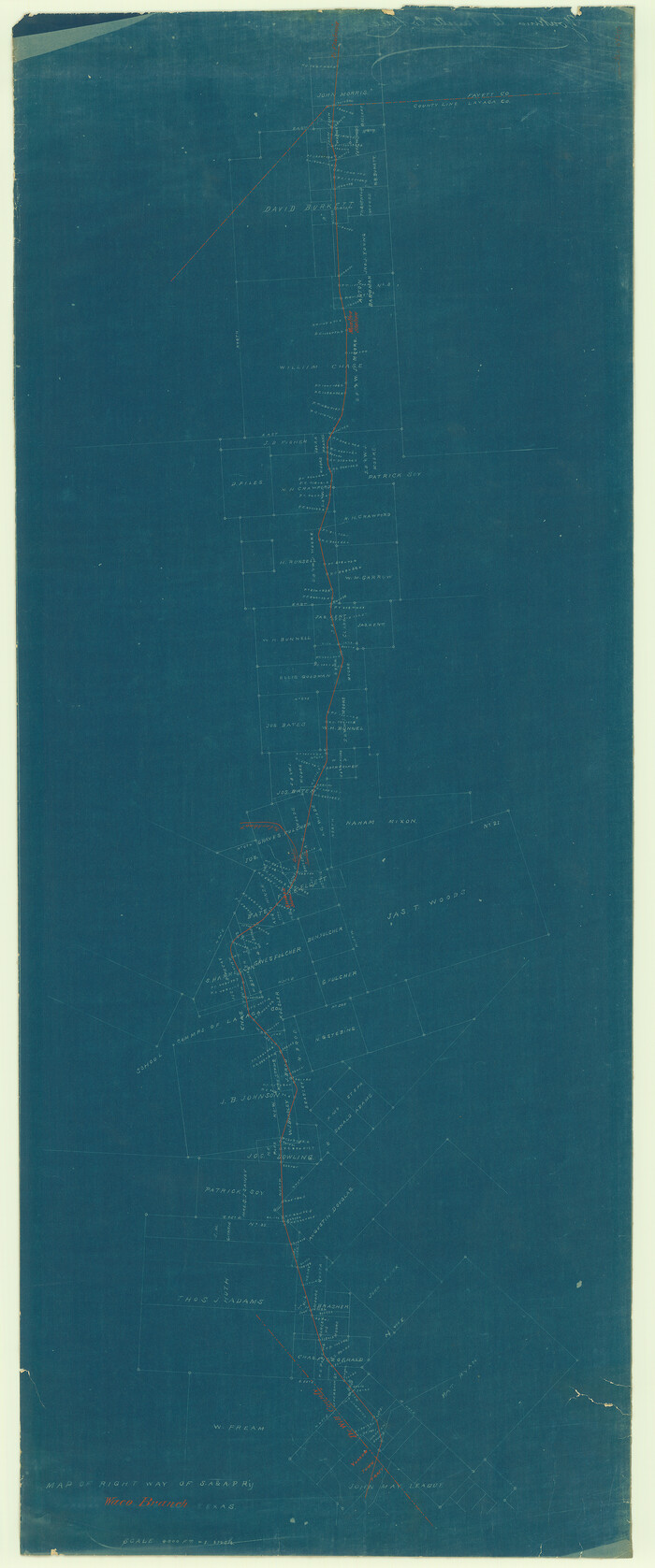
[San Antonio & Aransas Pass]
Print $20.00
- Digital $50.00
[San Antonio & Aransas Pass]
Size: 35.4 x 14.8 inches
64210
Map of Taylor, Bastrop & Houston Railroad in Austin County

Print $20.00
- Digital $50.00
Map of Taylor, Bastrop & Houston Railroad in Austin County
Size: 14.6 x 25.1 inches
64480
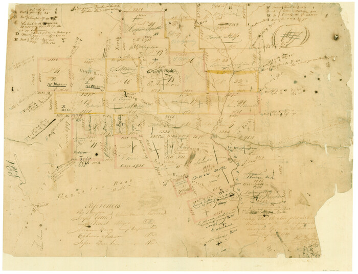
Surveys in Austin's Colony along the Colorado River below the San Antonio Road

Print $20.00
- Digital $50.00
Surveys in Austin's Colony along the Colorado River below the San Antonio Road
1830
Size: 38.2 x 13.5 inches
193
[Surveys in Austin's Colony along the Colorado River]
Print $20.00
- Digital $50.00
[Surveys in Austin's Colony along the Colorado River]
1830
Size: 38.9 x 23.2 inches
198
[Surveys in Austin's Colony by Horatio Chriesman along Mill and Cummins Creeks]
Print $20.00
- Digital $50.00
[Surveys in Austin's Colony by Horatio Chriesman along Mill and Cummins Creeks]
1830
Size: 30.7 x 25.7 inches
68
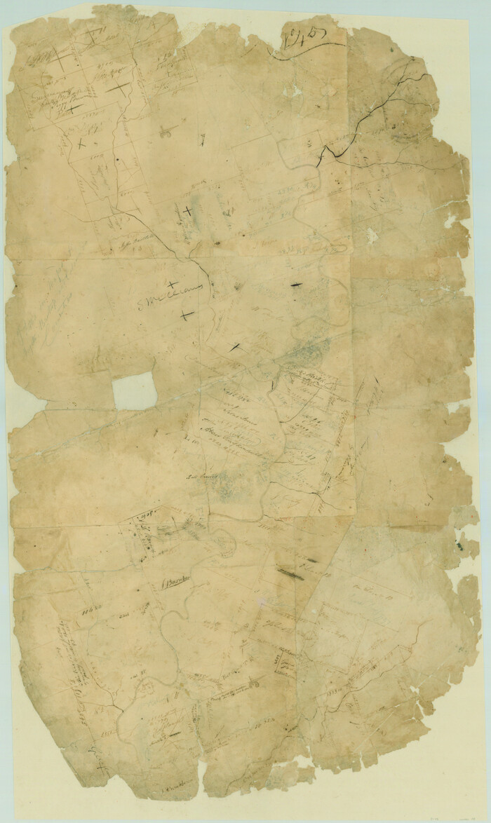
Connected Map of DeWitt's Colony compiled from the surveys of Byrd Lockhart

Print $40.00
- Digital $50.00
Connected Map of DeWitt's Colony compiled from the surveys of Byrd Lockhart
1831
Size: 39.2 x 54.0 inches
1942
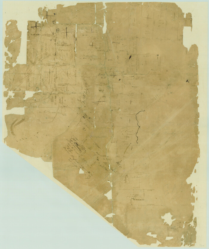
[Surveys in Austin's Colony along the Navidad River, Caney Fork, and upper Rocky Creek]
Print $20.00
- Digital $50.00
[Surveys in Austin's Colony along the Navidad River, Caney Fork, and upper Rocky Creek]
1831
Size: 20.5 x 26.7 inches
201
English Field Notes of the Spanish Archives - Book 12

English Field Notes of the Spanish Archives - Book 12
1832
96538
English Field Notes of the Spanish Archives - Book Lockhart

English Field Notes of the Spanish Archives - Book Lockhart
1832
96539
English Field Notes of the Spanish Archives - Book 1

English Field Notes of the Spanish Archives - Book 1
1833
96527
[Surveys in Austin's Colony along the Yegua River and Cedar Creek]
Print $20.00
- Digital $50.00
[Surveys in Austin's Colony along the Yegua River and Cedar Creek]
1835
Size: 15.7 x 19.3 inches
67
English Field Notes of the Spanish Archives - Book 2

English Field Notes of the Spanish Archives - Book 2
1835
96528
English Field Notes of the Spanish Archives - Book 3

English Field Notes of the Spanish Archives - Book 3
1835
96529
Fayette County Sketch File 1
Print $4.00
- Digital $50.00
Fayette County Sketch File 1
-
Size
8.4 x 7.2 inches
-
Map/Doc
22497
Fayette County Sketch File 4
Print $4.00
- Digital $50.00
Fayette County Sketch File 4
-
Size
11.7 x 7.9 inches
-
Map/Doc
22504
Fayette County Sketch File 5
Print $4.00
- Digital $50.00
Fayette County Sketch File 5
-
Size
14.3 x 8.7 inches
-
Map/Doc
22506
Washington County Sketch File 5
Print $4.00
- Digital $50.00
Washington County Sketch File 5
-
Size
8.0 x 7.0 inches
-
Map/Doc
39652
Fayette County Boundary File 1
Print $2.00
- Digital $50.00
Fayette County Boundary File 1
-
Size
11.1 x 8.7 inches
-
Map/Doc
53330
Fayette County Boundary File 2
Print $53.00
- Digital $50.00
Fayette County Boundary File 2
-
Size
11.2 x 9.0 inches
-
Map/Doc
53331
Fayette County Boundary File 2a
Print $8.00
- Digital $50.00
Fayette County Boundary File 2a
-
Size
14.9 x 9.3 inches
-
Map/Doc
53345
Fayette County Boundary File 3
Print $29.00
- Digital $50.00
Fayette County Boundary File 3
-
Size
14.4 x 9.0 inches
-
Map/Doc
53348
Fayette County Boundary File 4
Print $19.00
- Digital $50.00
Fayette County Boundary File 4
-
Size
14.4 x 9.0 inches
-
Map/Doc
53362
Fayette County Boundary File 5
Print $59.00
- Digital $50.00
Fayette County Boundary File 5
-
Size
14.4 x 9.0 inches
-
Map/Doc
53371
Fayette County Boundary File 6
Print $20.00
- Digital $50.00
Fayette County Boundary File 6
-
Size
14.4 x 9.0 inches
-
Map/Doc
53391
Fayette County Boundary File 7
Print $40.00
- Digital $50.00
Fayette County Boundary File 7
-
Size
18.1 x 13.1 inches
-
Map/Doc
53400
Fayette County Boundary File 8
Print $19.00
- Digital $50.00
Fayette County Boundary File 8
-
Size
14.4 x 9.0 inches
-
Map/Doc
53402
Fisher County Boundary File 1
Print $16.00
- Digital $50.00
Fisher County Boundary File 1
-
Size
12.8 x 8.4 inches
-
Map/Doc
53411
Fisher County Boundary File 2
Print $18.00
- Digital $50.00
Fisher County Boundary File 2
-
Size
14.4 x 8.9 inches
-
Map/Doc
53419
Fisher County Boundary File 3
Print $32.00
- Digital $50.00
Fisher County Boundary File 3
-
Size
8.2 x 4.2 inches
-
Map/Doc
53428
Fisher County Boundary File 3a
Print $20.00
- Digital $50.00
Fisher County Boundary File 3a
-
Size
25.1 x 26.0 inches
-
Map/Doc
53444
[San Antonio & Aransas Pass]
Print $20.00
- Digital $50.00
[San Antonio & Aransas Pass]
-
Size
35.4 x 14.8 inches
-
Map/Doc
64210
Map of Taylor, Bastrop & Houston Railroad in Austin County
Print $20.00
- Digital $50.00
Map of Taylor, Bastrop & Houston Railroad in Austin County
-
Size
14.6 x 25.1 inches
-
Map/Doc
64480
Surveys in Austin's Colony along the Colorado River below the San Antonio Road
Print $20.00
- Digital $50.00
Surveys in Austin's Colony along the Colorado River below the San Antonio Road
1830
-
Size
38.2 x 13.5 inches
-
Map/Doc
193
-
Creation Date
1830
[Surveys in Austin's Colony along the Colorado River]
Print $20.00
- Digital $50.00
[Surveys in Austin's Colony along the Colorado River]
1830
-
Size
38.9 x 23.2 inches
-
Map/Doc
198
-
Creation Date
1830
[Surveys in Austin's Colony by Horatio Chriesman along Mill and Cummins Creeks]
Print $20.00
- Digital $50.00
[Surveys in Austin's Colony by Horatio Chriesman along Mill and Cummins Creeks]
1830
-
Size
30.7 x 25.7 inches
-
Map/Doc
68
-
Creation Date
1830
Connected Map of DeWitt's Colony compiled from the surveys of Byrd Lockhart
Print $40.00
- Digital $50.00
Connected Map of DeWitt's Colony compiled from the surveys of Byrd Lockhart
1831
-
Size
39.2 x 54.0 inches
-
Map/Doc
1942
-
Creation Date
1831
[Surveys in Austin's Colony along the Navidad River, Caney Fork, and upper Rocky Creek]
Print $20.00
- Digital $50.00
[Surveys in Austin's Colony along the Navidad River, Caney Fork, and upper Rocky Creek]
1831
-
Size
20.5 x 26.7 inches
-
Map/Doc
201
-
Creation Date
1831
English Field Notes of the Spanish Archives - Book 12
English Field Notes of the Spanish Archives - Book 12
1832
-
Map/Doc
96538
-
Creation Date
1832
English Field Notes of the Spanish Archives - Book Lockhart
English Field Notes of the Spanish Archives - Book Lockhart
1832
-
Map/Doc
96539
-
Creation Date
1832
English Field Notes of the Spanish Archives - Book 1
English Field Notes of the Spanish Archives - Book 1
1833
-
Map/Doc
96527
-
Creation Date
1833
[Surveys in Austin's Colony along the Yegua River and Cedar Creek]
Print $20.00
- Digital $50.00
[Surveys in Austin's Colony along the Yegua River and Cedar Creek]
1835
-
Size
15.7 x 19.3 inches
-
Map/Doc
67
-
Creation Date
1835
English Field Notes of the Spanish Archives - Book 2
English Field Notes of the Spanish Archives - Book 2
1835
-
Map/Doc
96528
-
Creation Date
1835
English Field Notes of the Spanish Archives - Book 3
English Field Notes of the Spanish Archives - Book 3
1835
-
Map/Doc
96529
-
Creation Date
1835