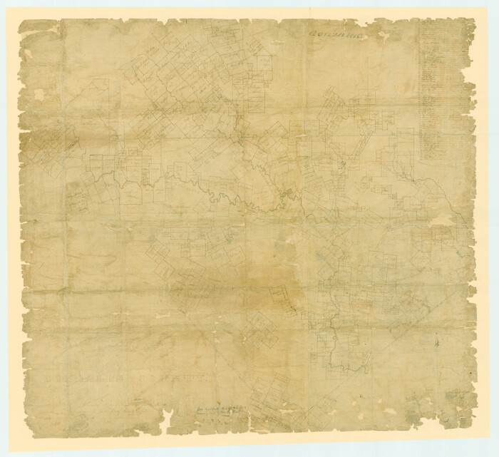
A Map of Gonzales County

Print $20.00
- Digital $50.00
A Map of Gonzales County
1838
Size: 34.7 x 39.2 inches
16838
Connected Map of DeWitt's Colony compiled from the surveys of Byrd Lockhart


Print $40.00
- Digital $50.00
Connected Map of DeWitt's Colony compiled from the surveys of Byrd Lockhart
1831
Size: 39.2 x 54.0 inches
1942
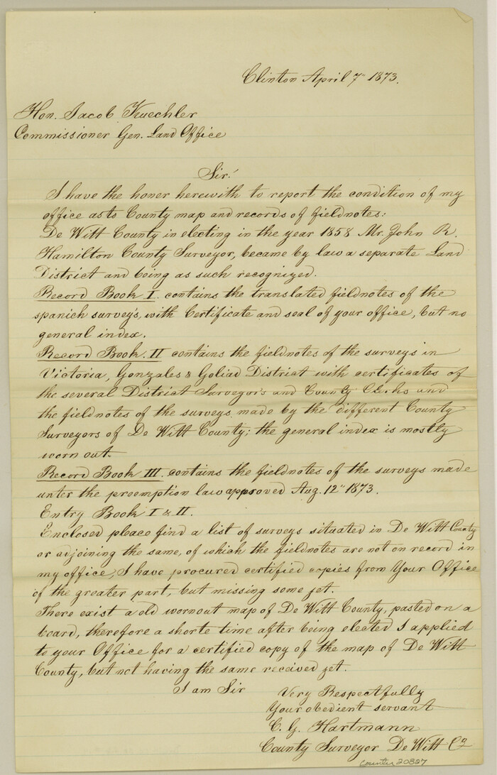
DeWitt County Sketch File 14

Print $8.00
- Digital $50.00
DeWitt County Sketch File 14
1873
Size: 12.8 x 8.2 inches
20827
English Field Notes of the Spanish Archives - Book 3


English Field Notes of the Spanish Archives - Book 3
1835
96529
English Field Notes of the Spanish Archives - Book Lockhart


English Field Notes of the Spanish Archives - Book Lockhart
1832
96539
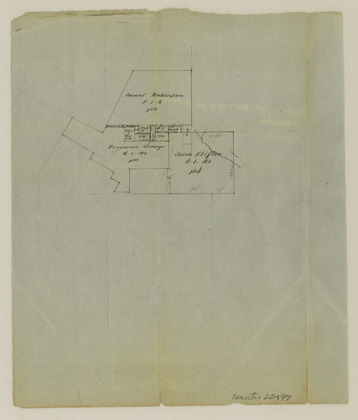
Fayette County Sketch File 1

Print $4.00
- Digital $50.00
Fayette County Sketch File 1
Size: 8.4 x 7.2 inches
22497
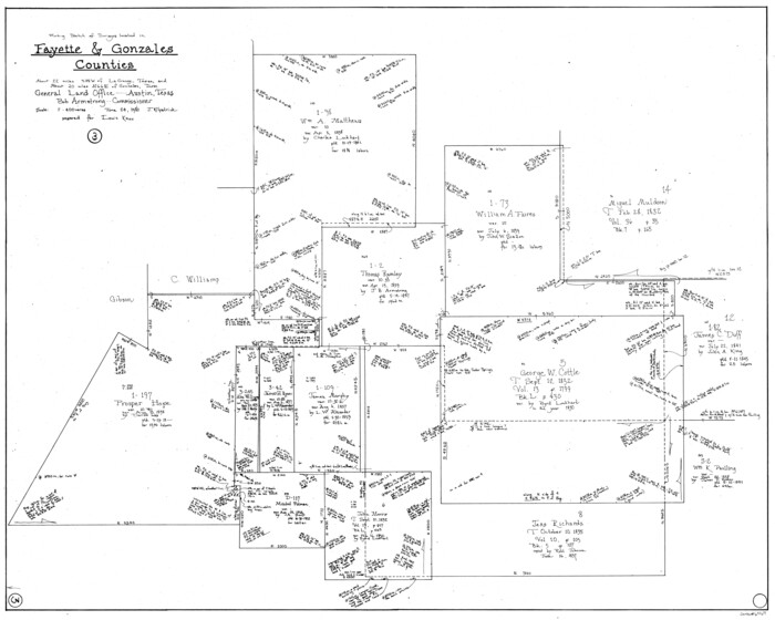
Fayette County Working Sketch 3

Print $20.00
- Digital $50.00
Fayette County Working Sketch 3
1980
Size: 29.0 x 36.3 inches
69167
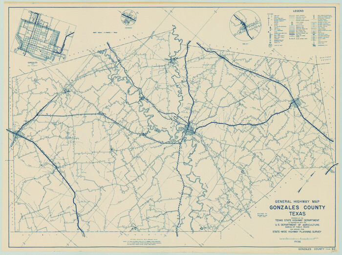
General Highway Map, Gonzales County, Texas

Print $20.00
General Highway Map, Gonzales County, Texas
1940
Size: 18.6 x 25.0 inches
79102
General Highway Map, Gonzales County, Texas


Print $20.00
General Highway Map, Gonzales County, Texas
1961
Size: 18.2 x 24.7 inches
79482
Gonzales County Boundary File 1b


Print $52.00
- Digital $50.00
Gonzales County Boundary File 1b
Size: 8.0 x 5.0 inches
53803
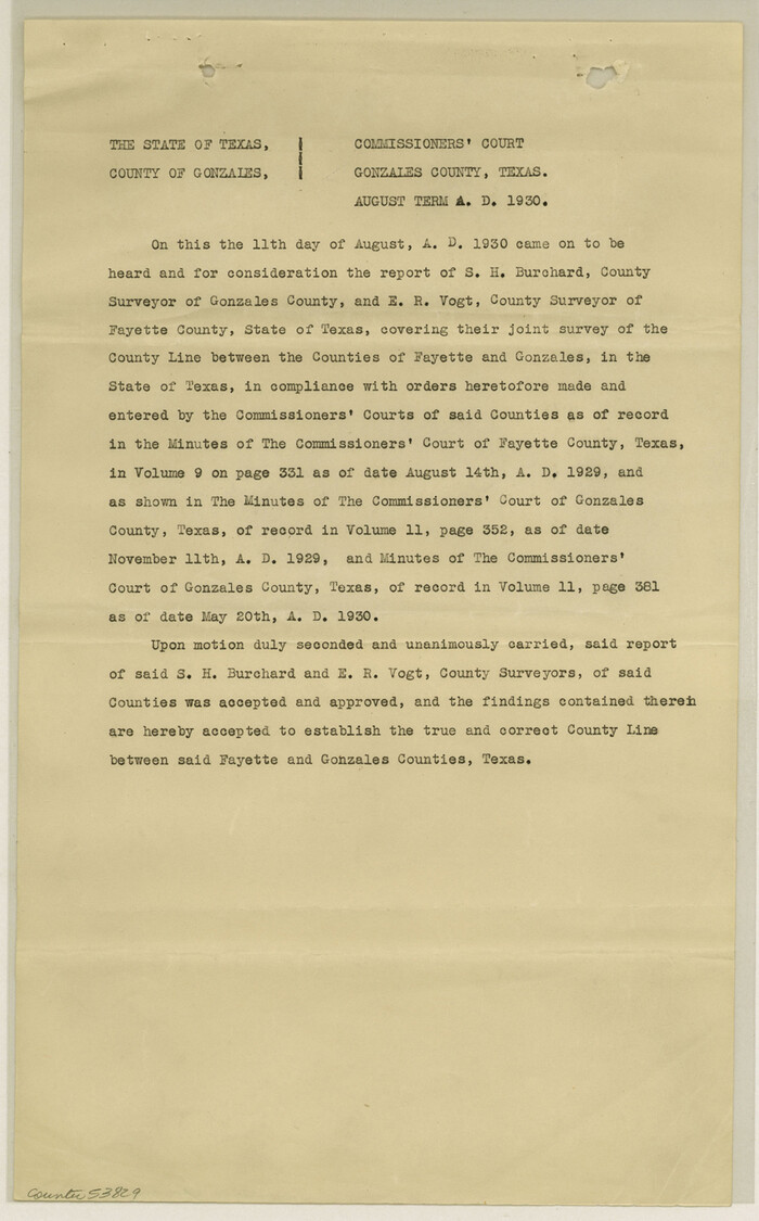
Gonzales County Boundary File 2

Print $7.00
- Digital $50.00
Gonzales County Boundary File 2
Size: 14.4 x 9.0 inches
53829
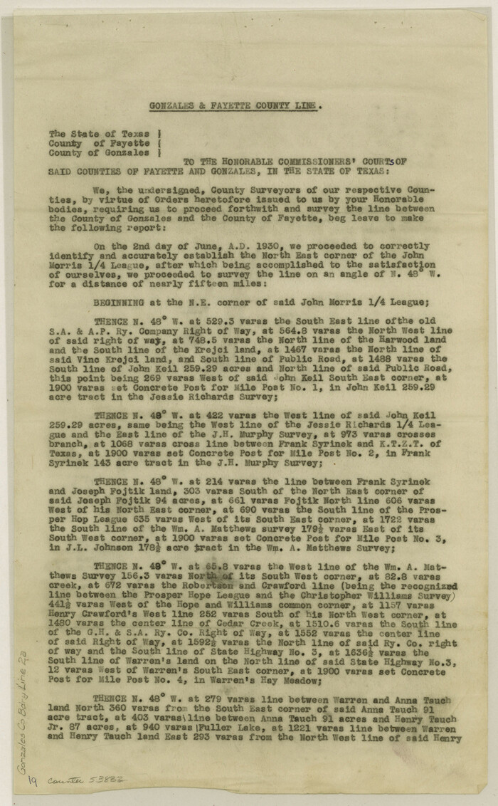
Gonzales County Boundary File 2a

Print $8.00
- Digital $50.00
Gonzales County Boundary File 2a
Size: 14.4 x 8.9 inches
53832
Gonzales County Boundary File 34 (9)


Print $18.00
- Digital $50.00
Gonzales County Boundary File 34 (9)
Size: 8.5 x 3.9 inches
53836
Gonzales County Rolled Sketch 1


Print $20.00
- Digital $50.00
Gonzales County Rolled Sketch 1
1917
Size: 21.9 x 23.9 inches
6027
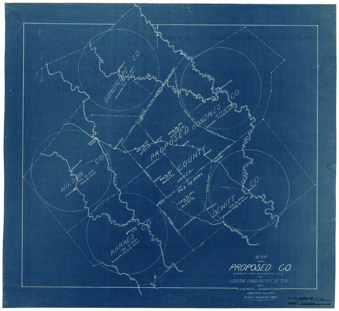
Gonzales County Rolled Sketch 1

Print $20.00
- Digital $50.00
Gonzales County Rolled Sketch 1
1917
Size: 22.1 x 24.0 inches
6028
Gonzales County Rolled Sketch 2


Print $20.00
- Digital $50.00
Gonzales County Rolled Sketch 2
2021
Size: 24.0 x 35.9 inches
96581
Gonzales County Rolled Sketch 3
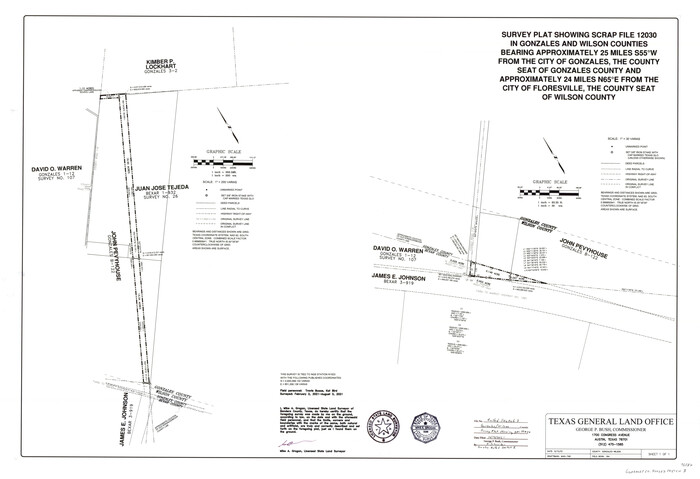

Print $20.00
- Digital $50.00
Gonzales County Rolled Sketch 3
2021
Size: 24.4 x 35.6 inches
96582
Gonzales County Sketch File 1
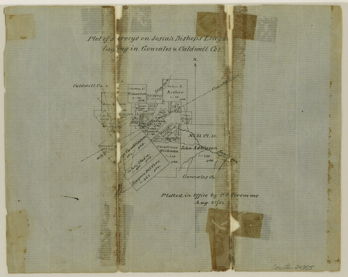

Print $4.00
- Digital $50.00
Gonzales County Sketch File 1
1858
Size: 8.1 x 10.2 inches
24355
A Map of Gonzales County


Print $20.00
- Digital $50.00
A Map of Gonzales County
1838
-
Size
34.7 x 39.2 inches
-
Map/Doc
16838
-
Creation Date
1838
Connected Map of DeWitt's Colony compiled from the surveys of Byrd Lockhart


Print $40.00
- Digital $50.00
Connected Map of DeWitt's Colony compiled from the surveys of Byrd Lockhart
1831
-
Size
39.2 x 54.0 inches
-
Map/Doc
1942
-
Creation Date
1831
DeWitt County Sketch File 14


Print $8.00
- Digital $50.00
DeWitt County Sketch File 14
1873
-
Size
12.8 x 8.2 inches
-
Map/Doc
20827
-
Creation Date
1873
English Field Notes of the Spanish Archives - Book 3


English Field Notes of the Spanish Archives - Book 3
1835
-
Map/Doc
96529
-
Creation Date
1835
English Field Notes of the Spanish Archives - Book Lockhart


English Field Notes of the Spanish Archives - Book Lockhart
1832
-
Map/Doc
96539
-
Creation Date
1832
Fayette County Sketch File 1


Print $4.00
- Digital $50.00
Fayette County Sketch File 1
-
Size
8.4 x 7.2 inches
-
Map/Doc
22497
Fayette County Working Sketch 3


Print $20.00
- Digital $50.00
Fayette County Working Sketch 3
1980
-
Size
29.0 x 36.3 inches
-
Map/Doc
69167
-
Creation Date
1980
General Highway Map, Gonzales County, Texas


Print $20.00
General Highway Map, Gonzales County, Texas
1940
-
Size
18.6 x 25.0 inches
-
Map/Doc
79102
-
Creation Date
1940
General Highway Map, Gonzales County, Texas


Print $20.00
General Highway Map, Gonzales County, Texas
1961
-
Size
18.2 x 24.7 inches
-
Map/Doc
79482
-
Creation Date
1961
Gonzales County
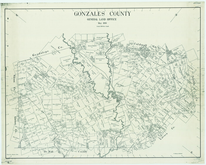

Print $40.00
- Digital $50.00
Gonzales County
1920
-
Size
41.0 x 51.2 inches
-
Map/Doc
1841
-
Creation Date
1920
Gonzales County


Print $20.00
- Digital $50.00
Gonzales County
1853
-
Size
23.4 x 22.4 inches
-
Map/Doc
3591
-
Creation Date
1853
Gonzales County
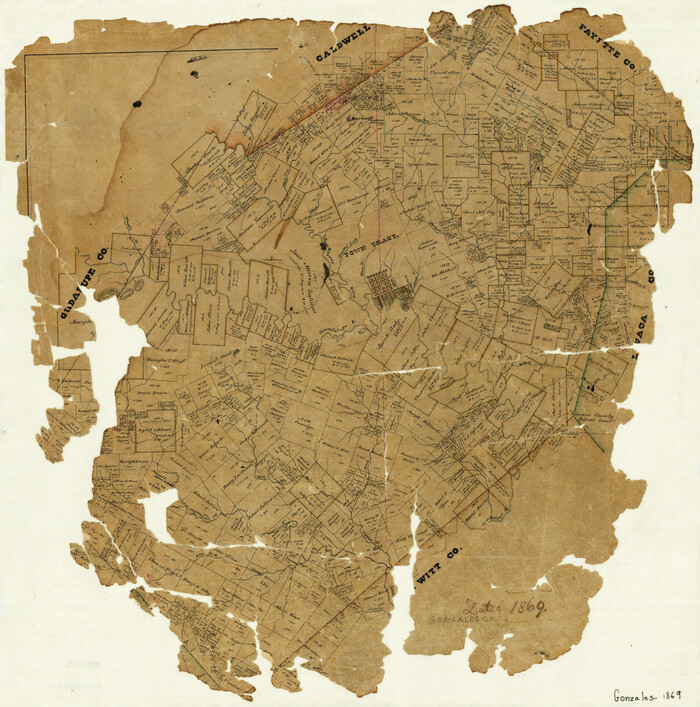

Print $20.00
- Digital $50.00
Gonzales County
1869
-
Size
22.2 x 22.1 inches
-
Map/Doc
3592
-
Creation Date
1869
Gonzales County
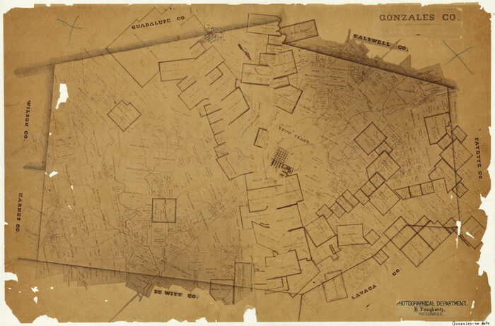

Print $20.00
- Digital $50.00
Gonzales County
1871
-
Size
17.2 x 25.8 inches
-
Map/Doc
3593
-
Creation Date
1871
Gonzales County
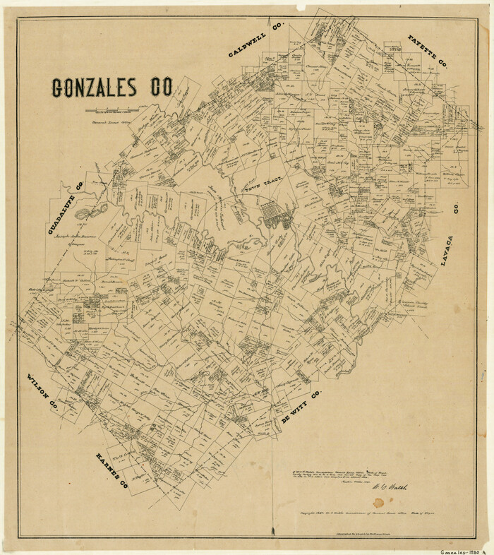

Print $20.00
- Digital $50.00
Gonzales County
1880
-
Size
25.3 x 22.6 inches
-
Map/Doc
3594
-
Creation Date
1880
Gonzales County


Print $20.00
- Digital $50.00
Gonzales County
1880
-
Size
26.5 x 23.4 inches
-
Map/Doc
4549
-
Creation Date
1880
Gonzales County
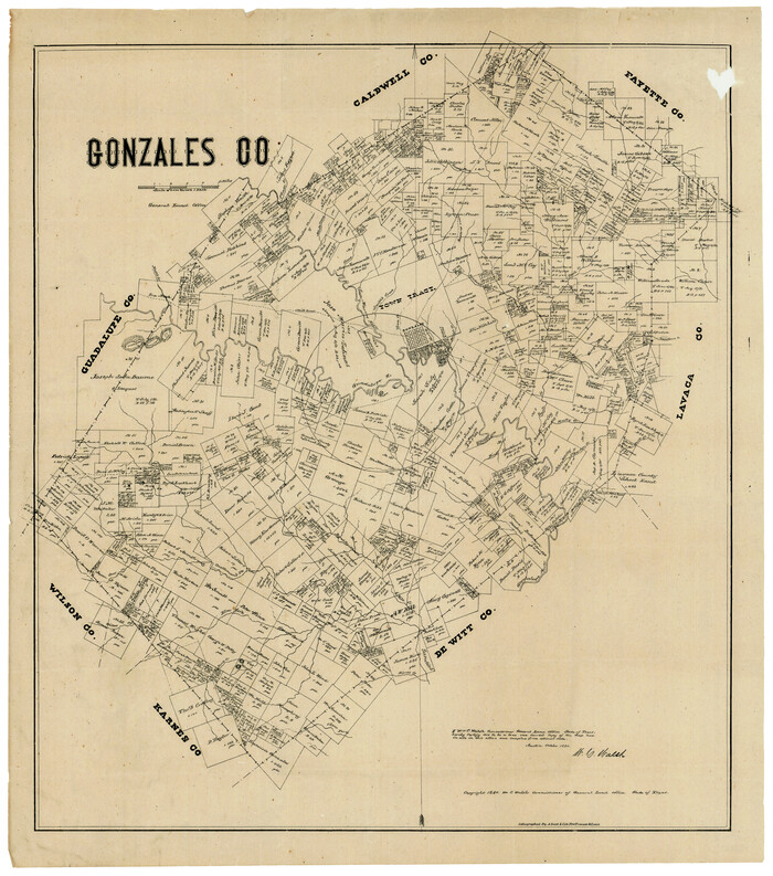

Print $20.00
- Digital $50.00
Gonzales County
1880
-
Size
26.3 x 24.0 inches
-
Map/Doc
4550
-
Creation Date
1880
Gonzales County


Print $40.00
- Digital $50.00
Gonzales County
1920
-
Size
48.4 x 44.2 inches
-
Map/Doc
4706
-
Creation Date
1920
Gonzales County


Print $40.00
- Digital $50.00
Gonzales County
1920
-
Size
40.3 x 51.8 inches
-
Map/Doc
4959
-
Creation Date
1920
Gonzales County


Print $40.00
- Digital $50.00
Gonzales County
1986
-
Size
41.6 x 54.7 inches
-
Map/Doc
73160
-
Creation Date
1986
Gonzales County


Print $40.00
- Digital $50.00
Gonzales County
1986
-
Size
39.9 x 52.0 inches
-
Map/Doc
77292
-
Creation Date
1986
Gonzales County


Print $40.00
- Digital $50.00
Gonzales County
1986
-
Size
42.2 x 55.8 inches
-
Map/Doc
95510
-
Creation Date
1986
Gonzales County Boundary File 1b


Print $52.00
- Digital $50.00
Gonzales County Boundary File 1b
-
Size
8.0 x 5.0 inches
-
Map/Doc
53803
Gonzales County Boundary File 2


Print $7.00
- Digital $50.00
Gonzales County Boundary File 2
-
Size
14.4 x 9.0 inches
-
Map/Doc
53829
Gonzales County Boundary File 2a


Print $8.00
- Digital $50.00
Gonzales County Boundary File 2a
-
Size
14.4 x 8.9 inches
-
Map/Doc
53832
Gonzales County Boundary File 34 (9)


Print $18.00
- Digital $50.00
Gonzales County Boundary File 34 (9)
-
Size
8.5 x 3.9 inches
-
Map/Doc
53836
Gonzales County Rolled Sketch 1


Print $20.00
- Digital $50.00
Gonzales County Rolled Sketch 1
1917
-
Size
21.9 x 23.9 inches
-
Map/Doc
6027
-
Creation Date
1917
Gonzales County Rolled Sketch 1


Print $20.00
- Digital $50.00
Gonzales County Rolled Sketch 1
1917
-
Size
22.1 x 24.0 inches
-
Map/Doc
6028
-
Creation Date
1917
Gonzales County Rolled Sketch 2


Print $20.00
- Digital $50.00
Gonzales County Rolled Sketch 2
2021
-
Size
24.0 x 35.9 inches
-
Map/Doc
96581
-
Creation Date
2021
Gonzales County Rolled Sketch 3


Print $20.00
- Digital $50.00
Gonzales County Rolled Sketch 3
2021
-
Size
24.4 x 35.6 inches
-
Map/Doc
96582
-
Creation Date
2021
Gonzales County Sketch File 1


Print $4.00
- Digital $50.00
Gonzales County Sketch File 1
1858
-
Size
8.1 x 10.2 inches
-
Map/Doc
24355
-
Creation Date
1858