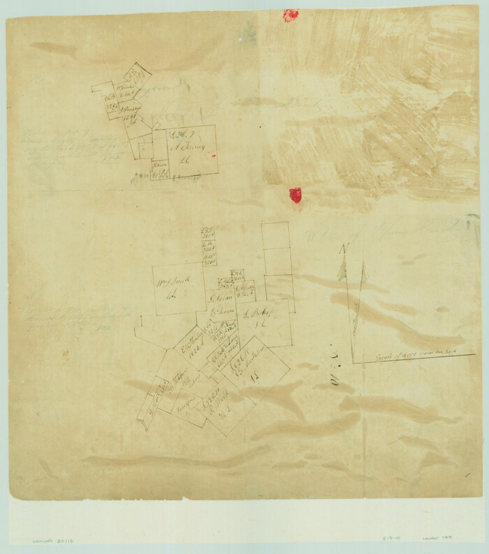
[Surveys on the San Marcos River]
Print $20.00
- Digital $50.00
[Surveys on the San Marcos River]
Size: 14.1 x 12.4 inches
149
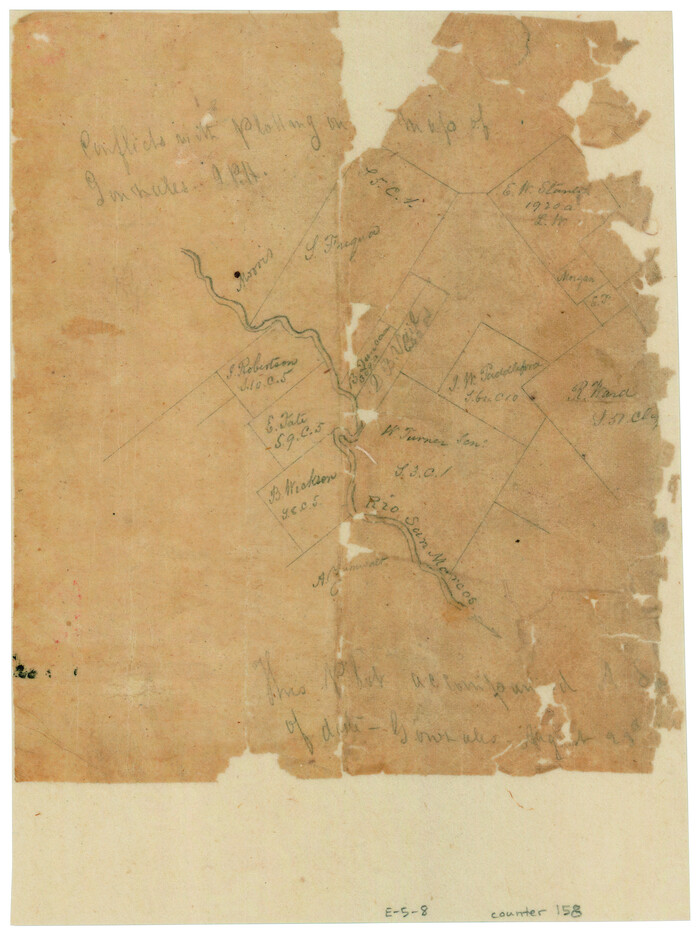
[Surveys along the San Marcos River]
Print $2.00
- Digital $50.00
[Surveys along the San Marcos River]
Size: 7.7 x 5.8 inches
158
Fayette County Sketch File 1

Print $4.00
- Digital $50.00
Fayette County Sketch File 1
Size: 8.4 x 7.2 inches
22497
Gonzales County Sketch File 2

Print $10.00
- Digital $50.00
Gonzales County Sketch File 2
Size: 8.9 x 7.8 inches
24357
Gonzales County Sketch File 4

Print $4.00
- Digital $50.00
Gonzales County Sketch File 4
Size: 12.6 x 8.0 inches
24373
Gonzales County Sketch File 12

Print $4.00
- Digital $50.00
Gonzales County Sketch File 12
Size: 10.8 x 8.7 inches
24394
Lavaca County Sketch File 9

Print $22.00
- Digital $50.00
Lavaca County Sketch File 9
Size: 7.2 x 13.4 inches
29646
Lavaca County Sketch File 20

Print $8.00
- Digital $50.00
Lavaca County Sketch File 20
Size: 10.0 x 8.0 inches
29650
Gonzales County Boundary File 1b

Print $52.00
- Digital $50.00
Gonzales County Boundary File 1b
Size: 8.0 x 5.0 inches
53803
Gonzales County Boundary File 2

Print $7.00
- Digital $50.00
Gonzales County Boundary File 2
Size: 14.4 x 9.0 inches
53829
Gonzales County Boundary File 2a

Print $8.00
- Digital $50.00
Gonzales County Boundary File 2a
Size: 14.4 x 8.9 inches
53832
Gonzales County Boundary File 34 (9)

Print $18.00
- Digital $50.00
Gonzales County Boundary File 34 (9)
Size: 8.5 x 3.9 inches
53836
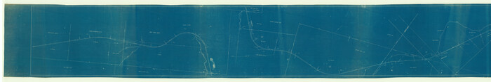
[Rio Grande & Eagle Pass - Stockdale to Cuero]
Print $40.00
- Digital $50.00
[Rio Grande & Eagle Pass - Stockdale to Cuero]
Size: 20.6 x 121.5 inches
64047
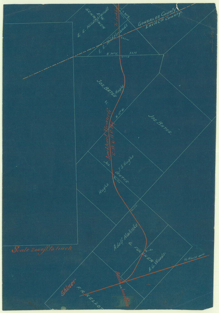
[San Antonio & Aransas Pass]
Print $2.00
- Digital $50.00
[San Antonio & Aransas Pass]
Size: 11.6 x 8.2 inches
64211
Guadalupe-Blanco River Authority Master Plan

Print $20.00
Guadalupe-Blanco River Authority Master Plan
Size: 23.1 x 29.8 inches
97506
Connected Map of DeWitt's Colony compiled from the surveys of Byrd Lockhart

Print $40.00
- Digital $50.00
Connected Map of DeWitt's Colony compiled from the surveys of Byrd Lockhart
1831
Size: 39.2 x 54.0 inches
1942
English Field Notes of the Spanish Archives - Book Lockhart

English Field Notes of the Spanish Archives - Book Lockhart
1832
96539
English Field Notes of the Spanish Archives - Book 3

English Field Notes of the Spanish Archives - Book 3
1835
96529
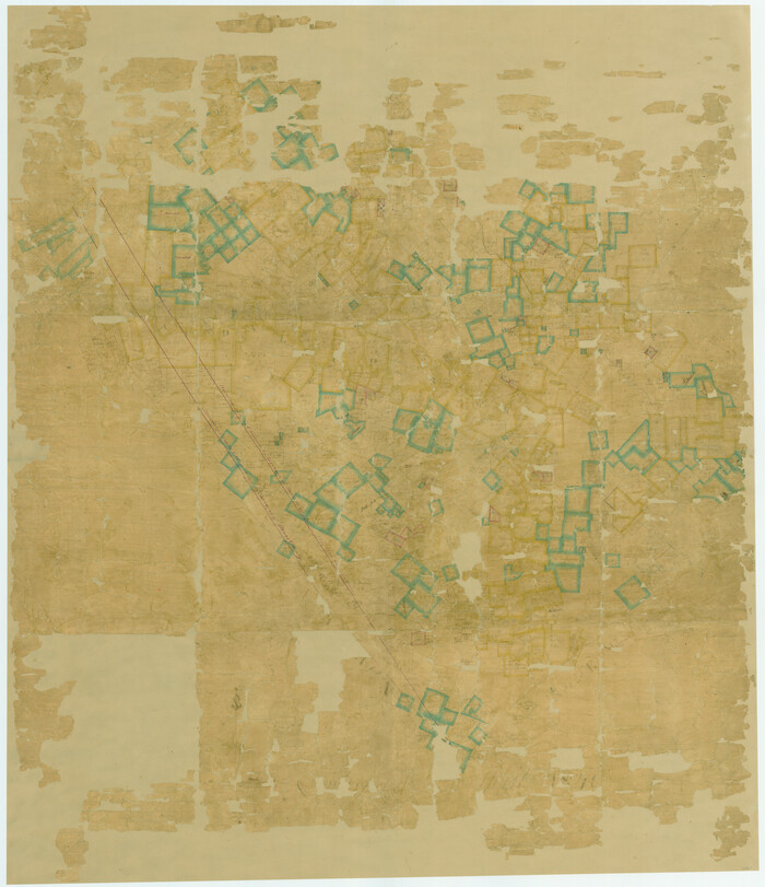
A Map of Gonzales County

Print $20.00
- Digital $50.00
A Map of Gonzales County
1838
Size: 34.7 x 39.2 inches
16838
[Gonzales District]
Print $20.00
- Digital $50.00
[Gonzales District]
1840
Size: 42.8 x 37.0 inches
16837
Gonzales County Sketch File 9

Print $7.00
- Digital $50.00
Gonzales County Sketch File 9
1841
Size: 10.1 x 8.2 inches
24387
Map of Gonzales County

Print $40.00
- Digital $50.00
Map of Gonzales County
1842
Size: 59.5 x 50.0 inches
16839
Gonzales County Sketch File 11

Print $4.00
- Digital $50.00
Gonzales County Sketch File 11
1842
Size: 12.8 x 7.9 inches
24392
Gonzales County Sketch File 1

Print $4.00
- Digital $50.00
Gonzales County Sketch File 1
1858
Size: 8.1 x 10.2 inches
24355
Gonzales County Sketch File 4a

Print $4.00
- Digital $50.00
Gonzales County Sketch File 4a
1861
Size: 8.0 x 6.7 inches
24375
Map of Works of Defense near Gonzales, Tex.

Print $20.00
Map of Works of Defense near Gonzales, Tex.
1863
Size: 17.1 x 21.8 inches
88598
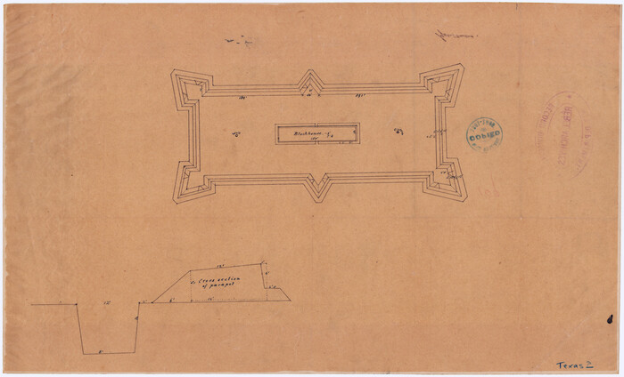
[Plan for Fort Waul near Gonzales, Texas]
Print $20.00
[Plan for Fort Waul near Gonzales, Texas]
1863
Size: 12.3 x 20.3 inches
88600
Gonzales County Sketch File 3

Print $24.00
- Digital $50.00
Gonzales County Sketch File 3
1871
Size: 12.6 x 8.3 inches
24361
[Surveys on the San Marcos River]
Print $20.00
- Digital $50.00
[Surveys on the San Marcos River]
-
Size
14.1 x 12.4 inches
-
Map/Doc
149
[Surveys along the San Marcos River]
Print $2.00
- Digital $50.00
[Surveys along the San Marcos River]
-
Size
7.7 x 5.8 inches
-
Map/Doc
158
Fayette County Sketch File 1
Print $4.00
- Digital $50.00
Fayette County Sketch File 1
-
Size
8.4 x 7.2 inches
-
Map/Doc
22497
Gonzales County Sketch File 2
Print $10.00
- Digital $50.00
Gonzales County Sketch File 2
-
Size
8.9 x 7.8 inches
-
Map/Doc
24357
Gonzales County Sketch File 4
Print $4.00
- Digital $50.00
Gonzales County Sketch File 4
-
Size
12.6 x 8.0 inches
-
Map/Doc
24373
Gonzales County Sketch File 12
Print $4.00
- Digital $50.00
Gonzales County Sketch File 12
-
Size
10.8 x 8.7 inches
-
Map/Doc
24394
Lavaca County Sketch File 9
Print $22.00
- Digital $50.00
Lavaca County Sketch File 9
-
Size
7.2 x 13.4 inches
-
Map/Doc
29646
Lavaca County Sketch File 20
Print $8.00
- Digital $50.00
Lavaca County Sketch File 20
-
Size
10.0 x 8.0 inches
-
Map/Doc
29650
Gonzales County Boundary File 1b
Print $52.00
- Digital $50.00
Gonzales County Boundary File 1b
-
Size
8.0 x 5.0 inches
-
Map/Doc
53803
Gonzales County Boundary File 2
Print $7.00
- Digital $50.00
Gonzales County Boundary File 2
-
Size
14.4 x 9.0 inches
-
Map/Doc
53829
Gonzales County Boundary File 2a
Print $8.00
- Digital $50.00
Gonzales County Boundary File 2a
-
Size
14.4 x 8.9 inches
-
Map/Doc
53832
Gonzales County Boundary File 34 (9)
Print $18.00
- Digital $50.00
Gonzales County Boundary File 34 (9)
-
Size
8.5 x 3.9 inches
-
Map/Doc
53836
[Rio Grande & Eagle Pass - Stockdale to Cuero]
Print $40.00
- Digital $50.00
[Rio Grande & Eagle Pass - Stockdale to Cuero]
-
Size
20.6 x 121.5 inches
-
Map/Doc
64047
[San Antonio & Aransas Pass]
Print $2.00
- Digital $50.00
[San Antonio & Aransas Pass]
-
Size
11.6 x 8.2 inches
-
Map/Doc
64211
Guadalupe-Blanco River Authority Master Plan
Print $20.00
Guadalupe-Blanco River Authority Master Plan
-
Size
23.1 x 29.8 inches
-
Map/Doc
97506
Connected Map of DeWitt's Colony compiled from the surveys of Byrd Lockhart
Print $40.00
- Digital $50.00
Connected Map of DeWitt's Colony compiled from the surveys of Byrd Lockhart
1831
-
Size
39.2 x 54.0 inches
-
Map/Doc
1942
-
Creation Date
1831
English Field Notes of the Spanish Archives - Book Lockhart
English Field Notes of the Spanish Archives - Book Lockhart
1832
-
Map/Doc
96539
-
Creation Date
1832
English Field Notes of the Spanish Archives - Book 3
English Field Notes of the Spanish Archives - Book 3
1835
-
Map/Doc
96529
-
Creation Date
1835
A Map of Gonzales County
Print $20.00
- Digital $50.00
A Map of Gonzales County
1838
-
Size
34.7 x 39.2 inches
-
Map/Doc
16838
-
Creation Date
1838
[Gonzales District]
Print $20.00
- Digital $50.00
[Gonzales District]
1840
-
Size
42.8 x 37.0 inches
-
Map/Doc
16837
-
Creation Date
1840
Gonzales County Sketch File 9
Print $7.00
- Digital $50.00
Gonzales County Sketch File 9
1841
-
Size
10.1 x 8.2 inches
-
Map/Doc
24387
-
Creation Date
1841
Map of Gonzales County
Print $40.00
- Digital $50.00
Map of Gonzales County
1842
-
Size
59.5 x 50.0 inches
-
Map/Doc
16839
-
Creation Date
1842
Gonzales County Sketch File 11
Print $4.00
- Digital $50.00
Gonzales County Sketch File 11
1842
-
Size
12.8 x 7.9 inches
-
Map/Doc
24392
-
Creation Date
1842
Gonzales County

Print $20.00
- Digital $50.00
Gonzales County
1853
-
Size
23.4 x 22.4 inches
-
Map/Doc
3591
-
Creation Date
1853
Gonzales County Sketch File 1
Print $4.00
- Digital $50.00
Gonzales County Sketch File 1
1858
-
Size
8.1 x 10.2 inches
-
Map/Doc
24355
-
Creation Date
1858
Gonzales County Sketch File 4a
Print $4.00
- Digital $50.00
Gonzales County Sketch File 4a
1861
-
Size
8.0 x 6.7 inches
-
Map/Doc
24375
-
Creation Date
1861
Map of Works of Defense near Gonzales, Tex.
Print $20.00
Map of Works of Defense near Gonzales, Tex.
1863
-
Size
17.1 x 21.8 inches
-
Map/Doc
88598
-
Creation Date
1863
[Plan for Fort Waul near Gonzales, Texas]
Print $20.00
[Plan for Fort Waul near Gonzales, Texas]
1863
-
Size
12.3 x 20.3 inches
-
Map/Doc
88600
-
Creation Date
1863
Gonzales County

Print $20.00
- Digital $50.00
Gonzales County
1869
-
Size
22.2 x 22.1 inches
-
Map/Doc
3592
-
Creation Date
1869
Gonzales County Sketch File 3
Print $24.00
- Digital $50.00
Gonzales County Sketch File 3
1871
-
Size
12.6 x 8.3 inches
-
Map/Doc
24361
-
Creation Date
1871