[Surveys on the San Marcos River]
[Surveys along the San Marcos River]
[San Antonio & Aransas Pass]
[San Antonio & Aransas Pass Through Gonzales County]
1880

[San Antonio & Aransas Pass Ry. from Lockhart to Caldwell-Gonzales County line]
1895

[Rio Grande & Eagle Pass - Stockdale to Cuero]
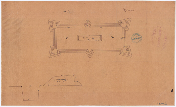
[Plan for Fort Waul near Gonzales, Texas]
1863

[Map of the Stockdale-Cuero Extension G.H. & S.A. Ry.]
1905
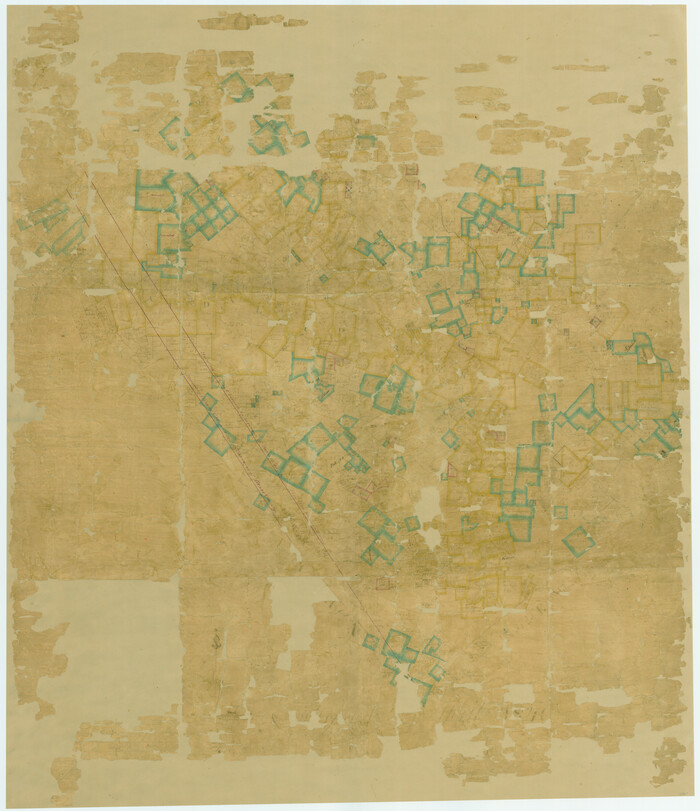
[Gonzales District]
1840
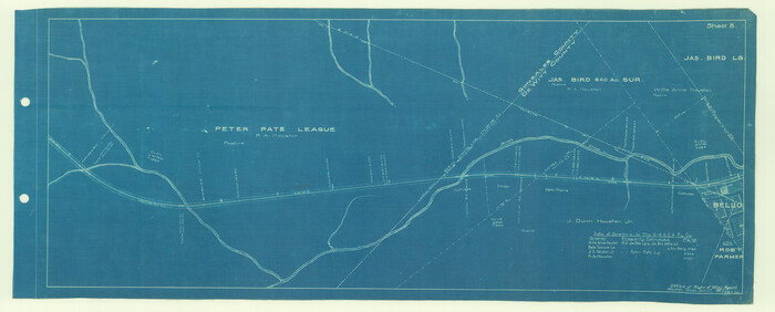
[Galveston, Harrisburg & San Antonio Railroad from Cuero to Stockdale]
1907
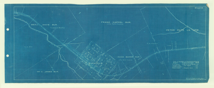
[Galveston, Harrisburg & San Antonio Railroad from Cuero to Stockdale]
1907
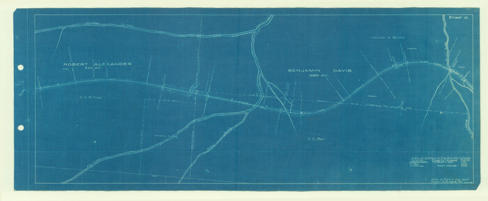
[Galveston, Harrisburg & San Antonio Railroad from Cuero to Stockdale]
1907
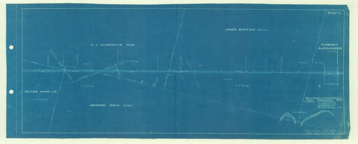
[Galveston, Harrisburg & San Antonio Railroad from Cuero to Stockdale]
1907
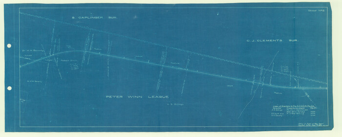
[Galveston, Harrisburg & San Antonio Railroad from Cuero to Stockdale]
1907
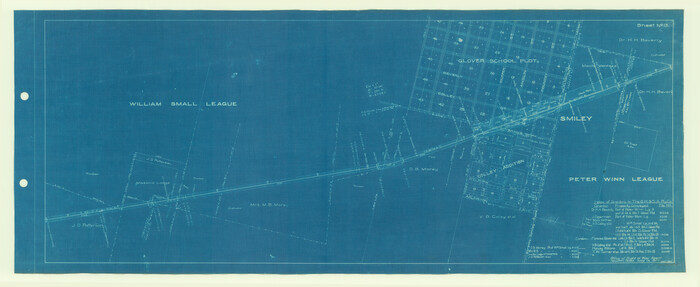
[Galveston, Harrisburg & San Antonio Railroad from Cuero to Stockdale]
1907
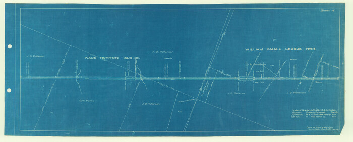
[Galveston, Harrisburg & San Antonio Railroad from Cuero to Stockdale]
1907
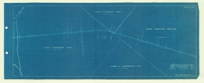
[Galveston, Harrisburg & San Antonio Railroad from Cuero to Stockdale]
1907
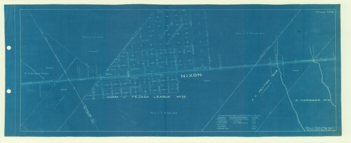
[Galveston, Harrisburg & San Antonio Railroad from Cuero to Stockdale]
1907
![65355, [County Line between DeWitt and Lavaca Counties], General Map Collection](https://historictexasmaps.com/wmedia_w700/pdf_converted_jpg/qi_pdf_thumbnail_19782.jpg)
[County Line between DeWitt and Lavaca Counties]
1906

Wilson County Working Sketch 9
1979
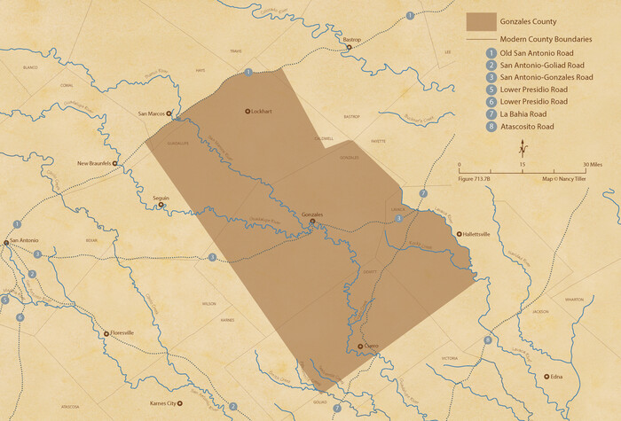
The Republic County of Gonzales. Spring 1842
2020

The Republic County of Gonzales. May 3, 1838
2020
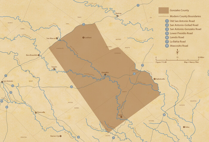
The Republic County of Gonzales. May 24, 1838
2020
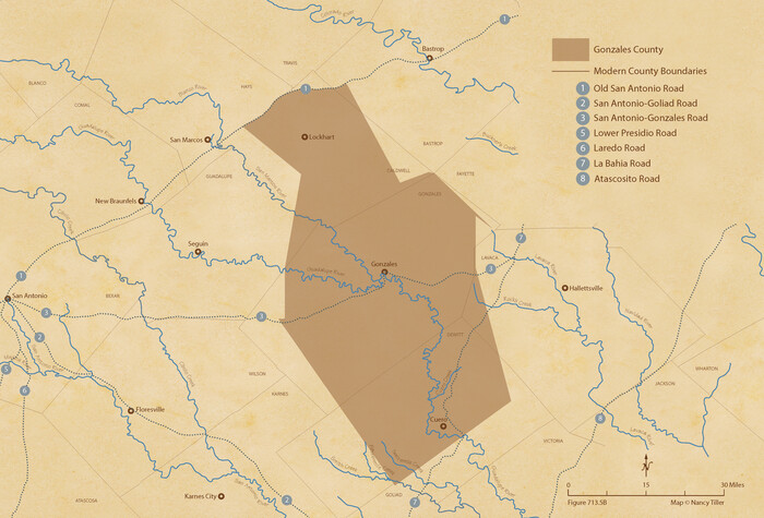
The Republic County of Gonzales. January 29, 1842
2020
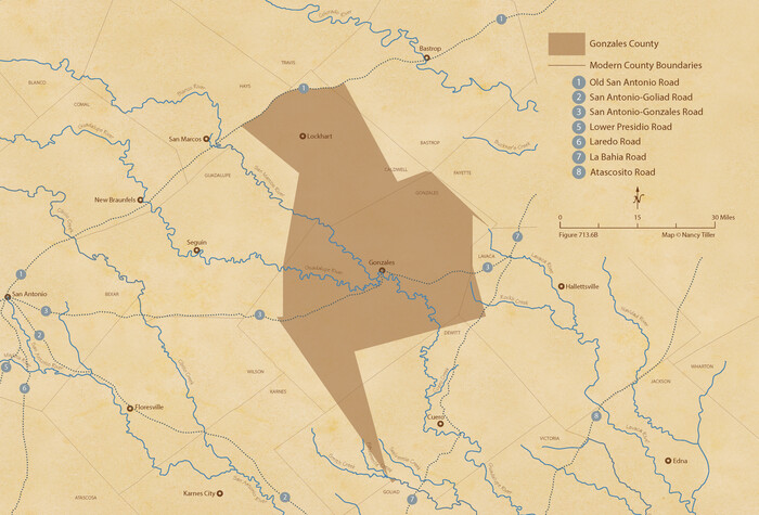
The Republic County of Gonzales. February 2, 1842
2020

The Republic County of Gonzales. December 29, 1845
2020
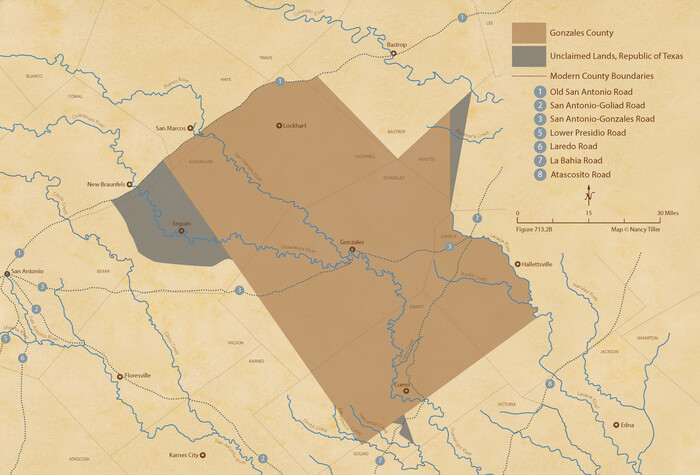
The Republic County of Gonzales. December 18, 1837
2020

The Republic County of Gonzales. Boundaries Defined, December 14, 1837
2020

Right of Way & Track Map, San Antonio & Aransas Pass Railway Co.
1919
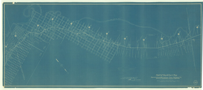
Right of Way & Track Map San Antonio & Aransas Pass Railway Co.
1919
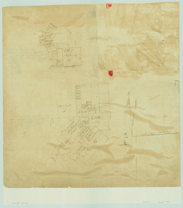
![149, [Surveys on the San Marcos River], General Map Collection](https://historictexasmaps.com/wmedia_w700/maps/149.tif.jpg)
[Surveys on the San Marcos River]
-
Size
14.1 x 12.4 inches
-
Map/Doc
149
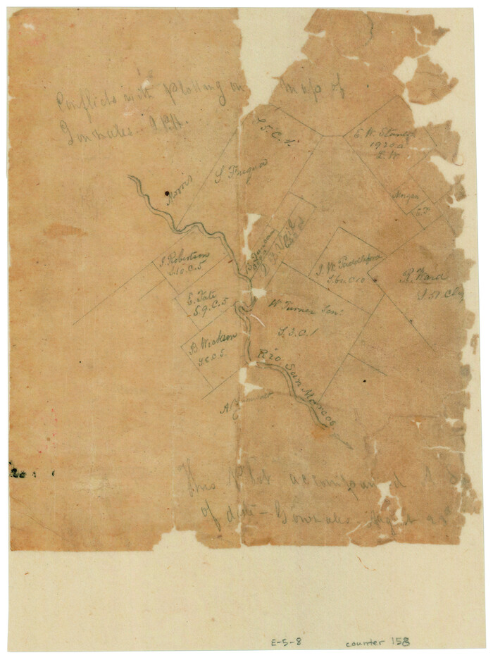
![158, [Surveys along the San Marcos River], General Map Collection](https://historictexasmaps.com/wmedia_w700/maps/158.tif.jpg)
[Surveys along the San Marcos River]
-
Size
7.7 x 5.8 inches
-
Map/Doc
158
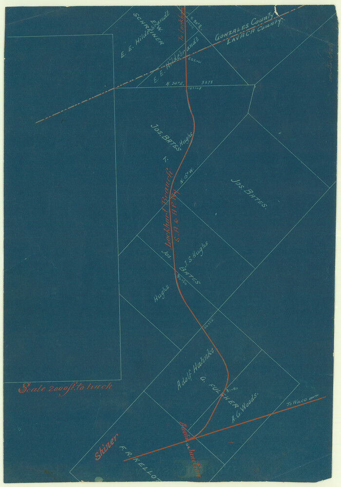
![64211, [San Antonio & Aransas Pass], General Map Collection](https://historictexasmaps.com/wmedia_w700/maps/64211.tif.jpg)
[San Antonio & Aransas Pass]
-
Size
11.6 x 8.2 inches
-
Map/Doc
64211
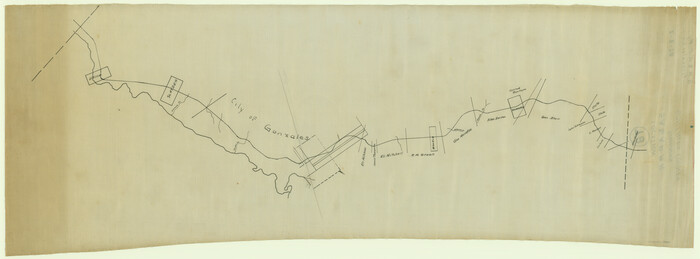
![64288, [San Antonio & Aransas Pass Through Gonzales County], General Map Collection](https://historictexasmaps.com/wmedia_w700/maps/64288.tif.jpg)
[San Antonio & Aransas Pass Through Gonzales County]
1880
-
Size
11.4 x 30.7 inches
-
Map/Doc
64288
-
Creation Date
1880
![64259, [San Antonio & Aransas Pass Ry. from Lockhart to Caldwell-Gonzales County line], General Map Collection](https://historictexasmaps.com/wmedia_w700/maps/64259.tif.jpg)
[San Antonio & Aransas Pass Ry. from Lockhart to Caldwell-Gonzales County line]
1895
-
Size
53.6 x 15.1 inches
-
Map/Doc
64259
-
Creation Date
1895
![64047, [Rio Grande & Eagle Pass - Stockdale to Cuero], General Map Collection](https://historictexasmaps.com/wmedia_w700/maps/64047.tif.jpg)
[Rio Grande & Eagle Pass - Stockdale to Cuero]
-
Size
20.6 x 121.5 inches
-
Map/Doc
64047
![88600, [Plan for Fort Waul near Gonzales, Texas], National Archives Digital Map Collection](https://historictexasmaps.com/wmedia_w700/maps/88600.tif.jpg)
[Plan for Fort Waul near Gonzales, Texas]
1863
-
Size
12.3 x 20.3 inches
-
Map/Doc
88600
-
Creation Date
1863
![64095, [Map of the Stockdale-Cuero Extension G.H. & S.A. Ry.], General Map Collection](https://historictexasmaps.com/wmedia_w700/maps/64095.tif.jpg)
[Map of the Stockdale-Cuero Extension G.H. & S.A. Ry.]
1905
-
Size
19.6 x 128.0 inches
-
Map/Doc
64095
-
Creation Date
1905
![16837, [Gonzales District], General Map Collection](https://historictexasmaps.com/wmedia_w700/maps/16837.tif.jpg)
[Gonzales District]
1840
-
Size
42.8 x 37.0 inches
-
Map/Doc
16837
-
Creation Date
1840
![64190, [Galveston, Harrisburg & San Antonio Railroad from Cuero to Stockdale], General Map Collection](https://historictexasmaps.com/wmedia_w700/maps/64190.tif.jpg)
[Galveston, Harrisburg & San Antonio Railroad from Cuero to Stockdale]
1907
-
Size
13.7 x 34.0 inches
-
Map/Doc
64190
-
Creation Date
1907
![64191, [Galveston, Harrisburg & San Antonio Railroad from Cuero to Stockdale], General Map Collection](https://historictexasmaps.com/wmedia_w700/maps/64191.tif.jpg)
[Galveston, Harrisburg & San Antonio Railroad from Cuero to Stockdale]
1907
-
Size
14.2 x 34.2 inches
-
Map/Doc
64191
-
Creation Date
1907
![64192, [Galveston, Harrisburg & San Antonio Railroad from Cuero to Stockdale], General Map Collection](https://historictexasmaps.com/wmedia_w700/maps/64192.tif.jpg)
[Galveston, Harrisburg & San Antonio Railroad from Cuero to Stockdale]
1907
-
Size
14.1 x 34.1 inches
-
Map/Doc
64192
-
Creation Date
1907
![64193, [Galveston, Harrisburg & San Antonio Railroad from Cuero to Stockdale], General Map Collection](https://historictexasmaps.com/wmedia_w700/maps/64193.tif.jpg)
[Galveston, Harrisburg & San Antonio Railroad from Cuero to Stockdale]
1907
-
Size
13.7 x 34.0 inches
-
Map/Doc
64193
-
Creation Date
1907
![64194, [Galveston, Harrisburg & San Antonio Railroad from Cuero to Stockdale], General Map Collection](https://historictexasmaps.com/wmedia_w700/maps/64194.tif.jpg)
[Galveston, Harrisburg & San Antonio Railroad from Cuero to Stockdale]
1907
-
Size
13.6 x 34.0 inches
-
Map/Doc
64194
-
Creation Date
1907
![64195, [Galveston, Harrisburg & San Antonio Railroad from Cuero to Stockdale], General Map Collection](https://historictexasmaps.com/wmedia_w700/maps/64195.tif.jpg)
[Galveston, Harrisburg & San Antonio Railroad from Cuero to Stockdale]
1907
-
Size
14.0 x 34.1 inches
-
Map/Doc
64195
-
Creation Date
1907
![64196, [Galveston, Harrisburg & San Antonio Railroad from Cuero to Stockdale], General Map Collection](https://historictexasmaps.com/wmedia_w700/maps/64196.tif.jpg)
[Galveston, Harrisburg & San Antonio Railroad from Cuero to Stockdale]
1907
-
Size
13.7 x 34.0 inches
-
Map/Doc
64196
-
Creation Date
1907
![64197, [Galveston, Harrisburg & San Antonio Railroad from Cuero to Stockdale], General Map Collection](https://historictexasmaps.com/wmedia_w700/maps/64197.tif.jpg)
[Galveston, Harrisburg & San Antonio Railroad from Cuero to Stockdale]
1907
-
Size
13.9 x 34.1 inches
-
Map/Doc
64197
-
Creation Date
1907
![64198, [Galveston, Harrisburg & San Antonio Railroad from Cuero to Stockdale], General Map Collection](https://historictexasmaps.com/wmedia_w700/maps/64198.tif.jpg)
[Galveston, Harrisburg & San Antonio Railroad from Cuero to Stockdale]
1907
-
Size
13.9 x 34.1 inches
-
Map/Doc
64198
-
Creation Date
1907
![65355, [County Line between DeWitt and Lavaca Counties], General Map Collection](https://historictexasmaps.com/wmedia_w700/pdf_converted_jpg/qi_pdf_thumbnail_19782.jpg)
[County Line between DeWitt and Lavaca Counties]
1906
-
Size
17.4 x 34.4 inches
-
Map/Doc
65355
-
Creation Date
1906

Wilson County Working Sketch 9
1979
-
Size
31.6 x 33.0 inches
-
Map/Doc
72589
-
Creation Date
1979

The Republic County of Gonzales. Spring 1842
2020
-
Size
14.7 x 21.7 inches
-
Map/Doc
96159
-
Creation Date
2020

The Republic County of Gonzales. May 3, 1838
2020
-
Size
14.7 x 21.7 inches
-
Map/Doc
96155
-
Creation Date
2020

The Republic County of Gonzales. May 24, 1838
2020
-
Size
14.7 x 21.7 inches
-
Map/Doc
96156
-
Creation Date
2020

The Republic County of Gonzales. January 29, 1842
2020
-
Size
14.7 x 21.7 inches
-
Map/Doc
96157
-
Creation Date
2020

The Republic County of Gonzales. February 2, 1842
2020
-
Size
14.7 x 21.7 inches
-
Map/Doc
96158
-
Creation Date
2020

The Republic County of Gonzales. December 29, 1845
2020
-
Size
14.7 x 21.7 inches
-
Map/Doc
96160
-
Creation Date
2020

The Republic County of Gonzales. December 18, 1837
2020
-
Size
14.7 x 21.7 inches
-
Map/Doc
96154
-
Creation Date
2020

The Republic County of Gonzales. Boundaries Defined, December 14, 1837
2020
-
Size
14.7 x 21.7 inches
-
Map/Doc
96153
-
Creation Date
2020

Right of Way & Track Map, San Antonio & Aransas Pass Railway Co.
1919
-
Size
25.0 x 56.7 inches
-
Map/Doc
64215
-
Creation Date
1919

Right of Way & Track Map San Antonio & Aransas Pass Railway Co.
1919
-
Size
25.3 x 56.5 inches
-
Map/Doc
64024
-
Creation Date
1919