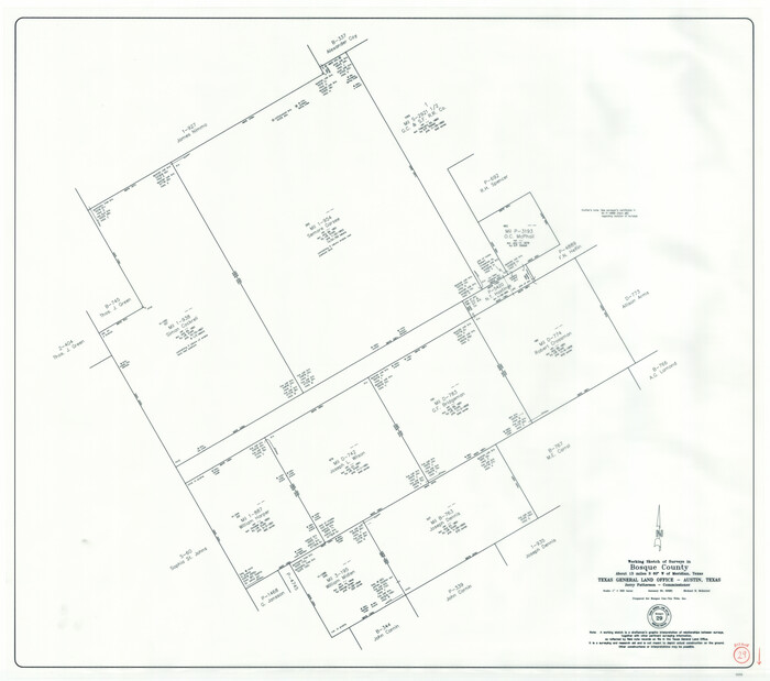
Bosque County Working Sketch 29
2009

Hamilton County Working Sketch 36
2008

Mills County Working Sketch 28
2006
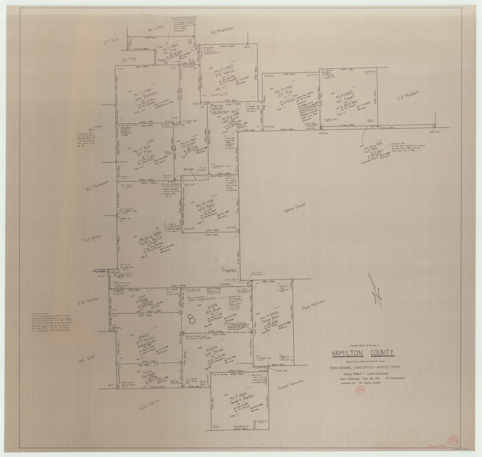
Hamilton County Working Sketch 34
1995

Hamilton County Working Sketch 32
1993

Comanche County Working Sketch 31
1991
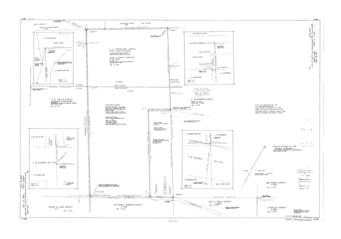
Hamilton County Rolled Sketch 14
1989
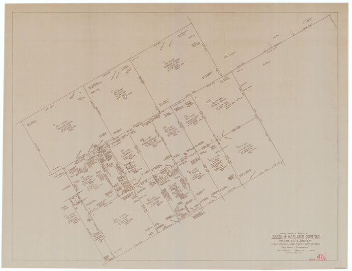
Erath County Working Sketch 48
1989

Erath County Rolled Sketch 3
1982
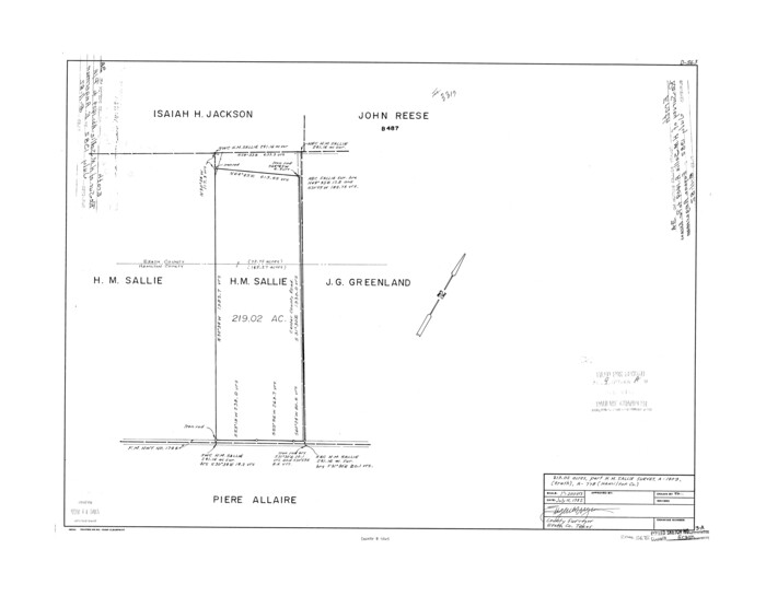
Erath County Rolled Sketch 3A
1982

Hamilton County Rolled Sketch 13
1982
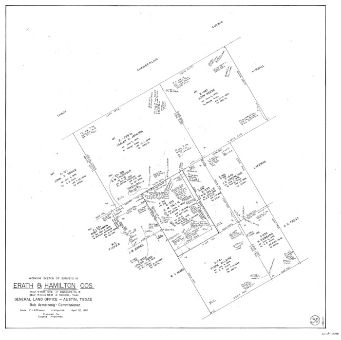
Hamilton County Working Sketch 30
1982

Erath County Working Sketch 45
1982
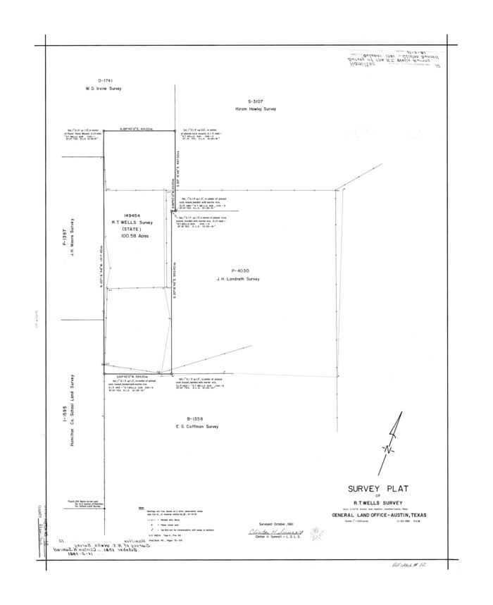
Hamilton County Rolled Sketch 12
1981
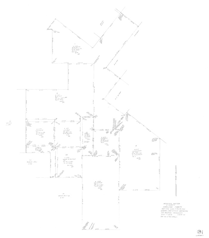
Hamilton County Working Sketch 29
1981
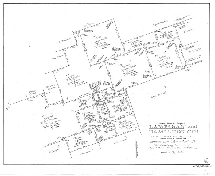
Lampasas County Working Sketch 20
1981
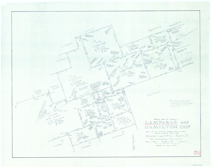
Lampasas County Working Sketch 20, revised
1981
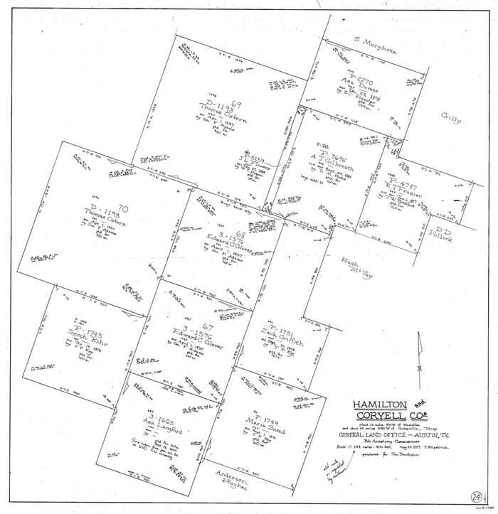
Hamilton County Working Sketch 24
1979
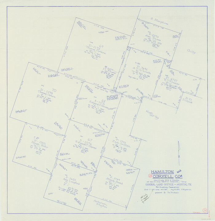
Coryell County Working Sketch 24
1979

Hamilton County Working Sketch 28
1976
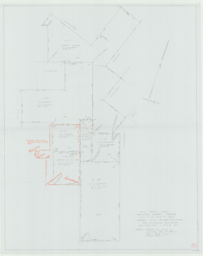
Hamilton County Working Sketch 27
1975

Hamilton County Working Sketch Graphic Index
1972

Hamilton County Working Sketch 26
1964
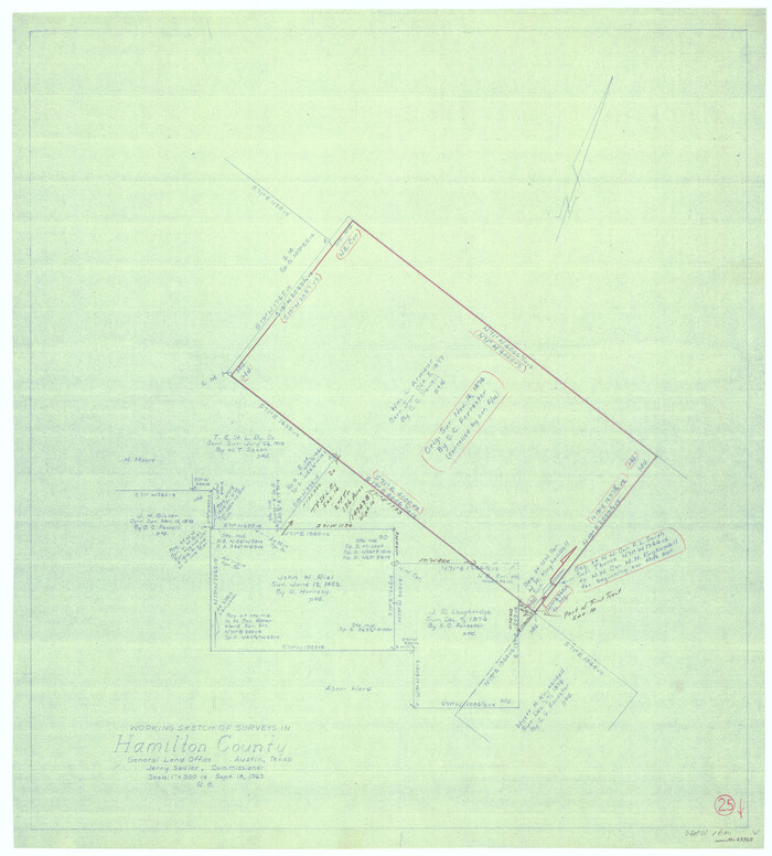
Hamilton County Working Sketch 25
1963
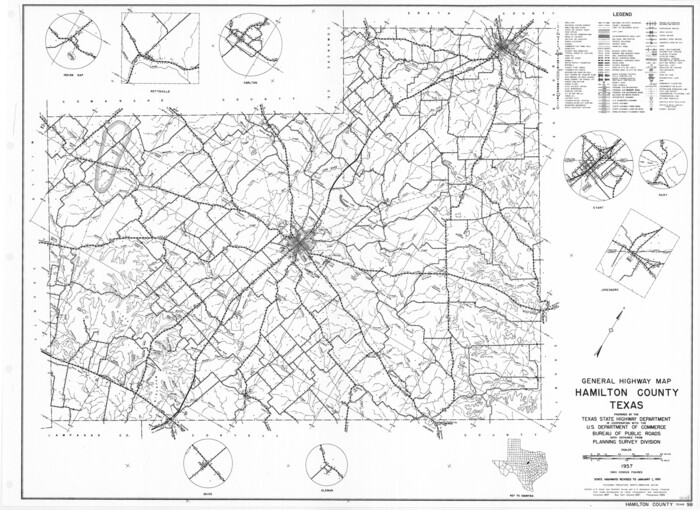
General Highway Map, Hamilton County, Texas
1961

Hamilton County Working Sketch 23
1955
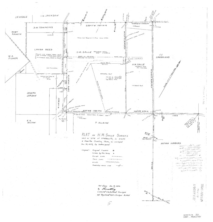
Hamilton County Sketch File 23
1955

Bosque County Working Sketch 29
2009
-
Size
35.9 x 40.6 inches
-
Map/Doc
88997
-
Creation Date
2009

Hamilton County Working Sketch 36
2008
-
Size
36.9 x 57.3 inches
-
Map/Doc
88996
-
Creation Date
2008

Mills County Working Sketch 28
2006
-
Size
42.0 x 67.4 inches
-
Map/Doc
85385
-
Creation Date
2006

Hamilton County Working Sketch 34
1995
-
Size
37.7 x 39.8 inches
-
Map/Doc
63372
-
Creation Date
1995

Hamilton County Working Sketch 32
1993
-
Size
26.3 x 34.3 inches
-
Map/Doc
63370
-
Creation Date
1993

Comanche County Working Sketch 31
1991
-
Size
28.4 x 24.2 inches
-
Map/Doc
68165
-
Creation Date
1991

Hamilton County Rolled Sketch 14
1989
-
Size
28.0 x 40.0 inches
-
Map/Doc
6063
-
Creation Date
1989

Erath County Working Sketch 48
1989
-
Size
36.5 x 47.6 inches
-
Map/Doc
69129
-
Creation Date
1989

Erath County Rolled Sketch 3
1982
-
Size
22.6 x 27.9 inches
-
Map/Doc
5864
-
Creation Date
1982

Erath County Rolled Sketch 3A
1982
-
Size
21.7 x 27.8 inches
-
Map/Doc
5865
-
Creation Date
1982

Hamilton County Rolled Sketch 13
1982
-
Size
34.0 x 28.0 inches
-
Map/Doc
6062
-
Creation Date
1982

Hamilton County Working Sketch 30
1982
-
Size
24.7 x 24.7 inches
-
Map/Doc
63368
-
Creation Date
1982

Erath County Working Sketch 45
1982
-
Size
25.5 x 24.8 inches
-
Map/Doc
69126
-
Creation Date
1982

Hamilton County Rolled Sketch 12
1981
-
Size
35.2 x 28.7 inches
-
Map/Doc
6061
-
Creation Date
1981

Hamilton County Working Sketch 29
1981
-
Size
43.3 x 38.0 inches
-
Map/Doc
63367
-
Creation Date
1981

Lampasas County Working Sketch 20
1981
-
Size
26.0 x 31.9 inches
-
Map/Doc
70297
-
Creation Date
1981

Lampasas County Working Sketch 20, revised
1981
-
Size
27.1 x 34.5 inches
-
Map/Doc
70298
-
Creation Date
1981

Hamilton County Working Sketch 24
1979
-
Size
34.7 x 33.6 inches
-
Map/Doc
63362
-
Creation Date
1979

Coryell County Working Sketch 24
1979
-
Size
35.5 x 34.5 inches
-
Map/Doc
68231
-
Creation Date
1979

Hamilton County Working Sketch 28
1976
-
Size
27.7 x 33.2 inches
-
Map/Doc
63366
-
Creation Date
1976

Hamilton County Working Sketch 27
1975
-
Size
43.4 x 34.3 inches
-
Map/Doc
63365
-
Creation Date
1975

Hamilton Co.
1972
-
Size
35.6 x 41.2 inches
-
Map/Doc
73168
-
Creation Date
1972

Hamilton County Working Sketch Graphic Index
1972
-
Size
34.3 x 39.8 inches
-
Map/Doc
76564
-
Creation Date
1972
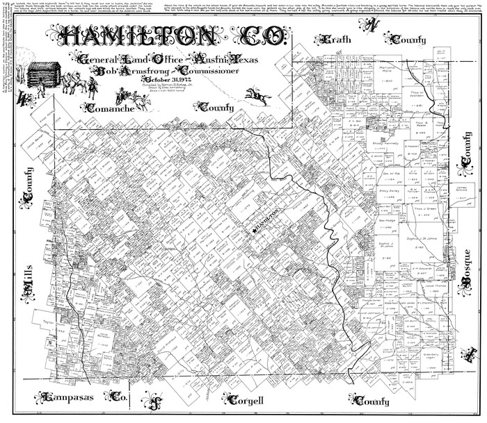
Hamilton Co.
1972
-
Size
35.8 x 41.5 inches
-
Map/Doc
77300
-
Creation Date
1972
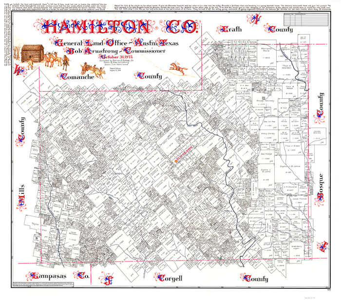
Hamilton Co.
1972
-
Size
37.0 x 42.0 inches
-
Map/Doc
95518
-
Creation Date
1972

Hamilton County Working Sketch 26
1964
-
Size
22.8 x 29.6 inches
-
Map/Doc
63364
-
Creation Date
1964

Hamilton County Working Sketch 25
1963
-
Size
29.5 x 26.6 inches
-
Map/Doc
63363
-
Creation Date
1963

General Highway Map, Hamilton County, Texas
1961
-
Size
18.1 x 24.9 inches
-
Map/Doc
79496
-
Creation Date
1961

Hamilton County Working Sketch 23
1955
-
Size
23.5 x 31.2 inches
-
Map/Doc
63361
-
Creation Date
1955

Hamilton County Sketch File 23
1955
-
Size
25.8 x 24.8 inches
-
Map/Doc
11618
-
Creation Date
1955