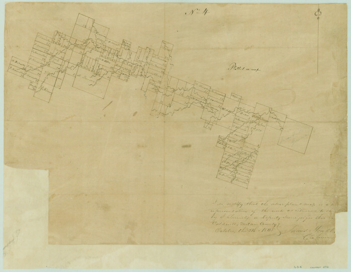
[Surveys in the Milam District along the Leon River]
Print $20.00
- Digital $50.00
[Surveys in the Milam District along the Leon River]
1845
Size: 12.0 x 15.4 inches
272
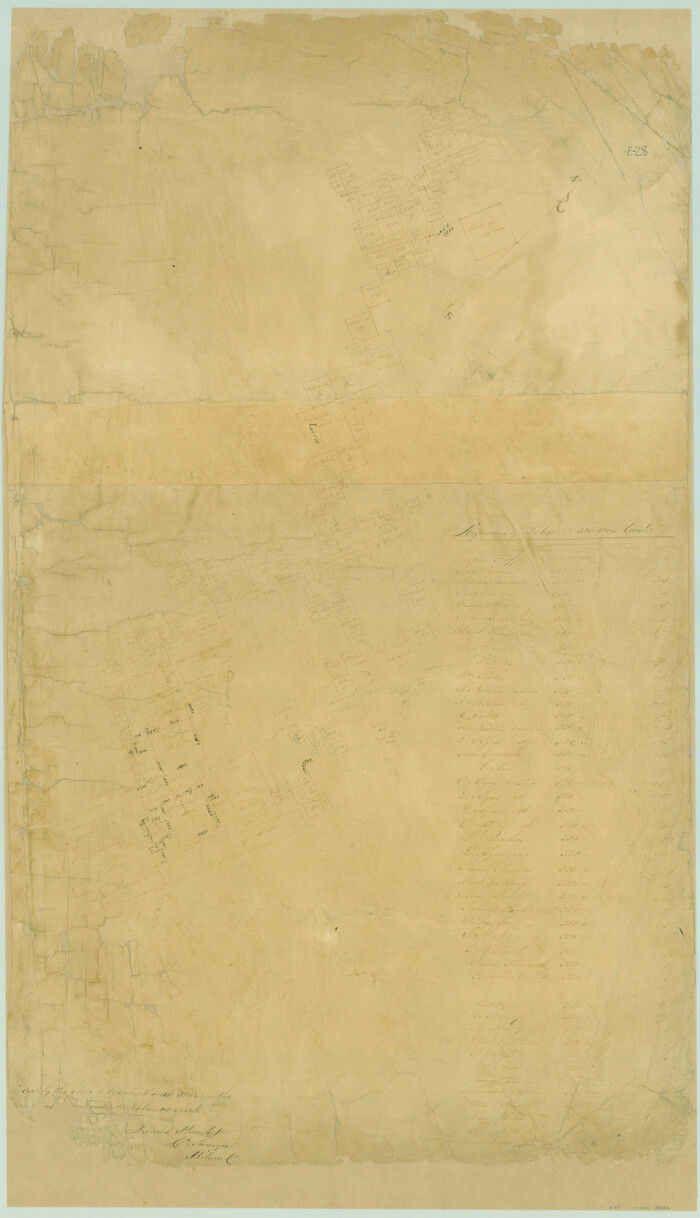
[Surveys in Mills, Hamilton, Coryell and Bell Counties]
Print $20.00
- Digital $50.00
[Surveys in Mills, Hamilton, Coryell and Bell Counties]
Size: 33.9 x 19.5 inches
78362
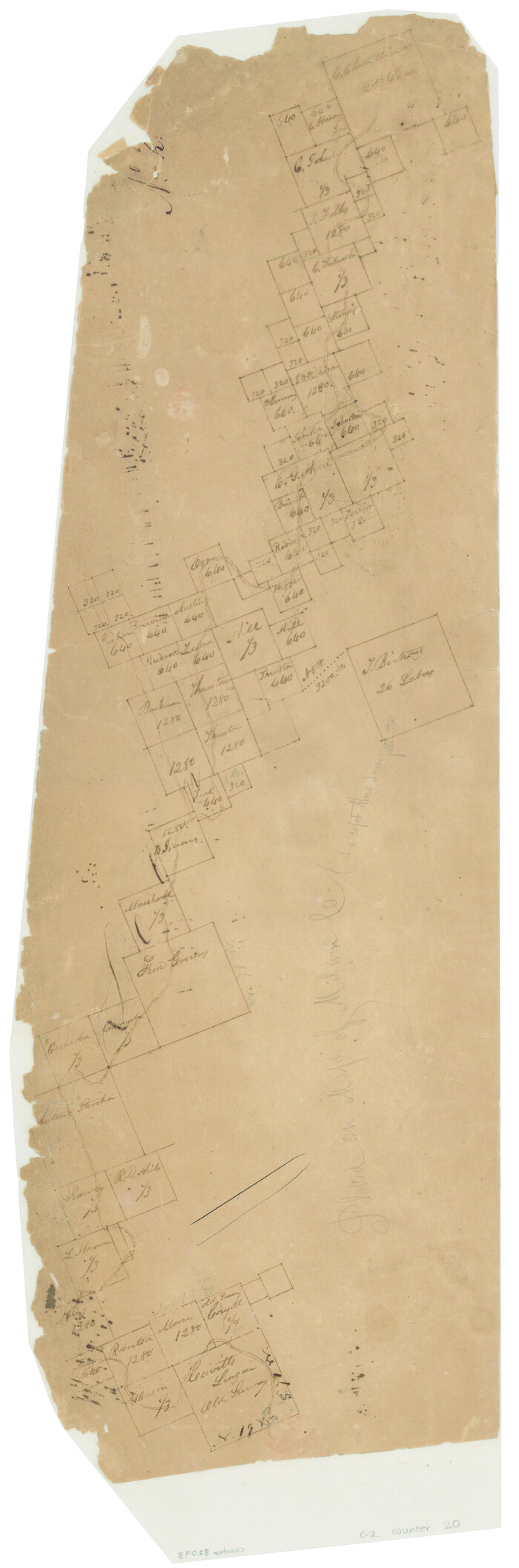
[Surveys along the Leon River]
Print $20.00
- Digital $50.00
[Surveys along the Leon River]
1840
Size: 20.3 x 6.6 inches
20
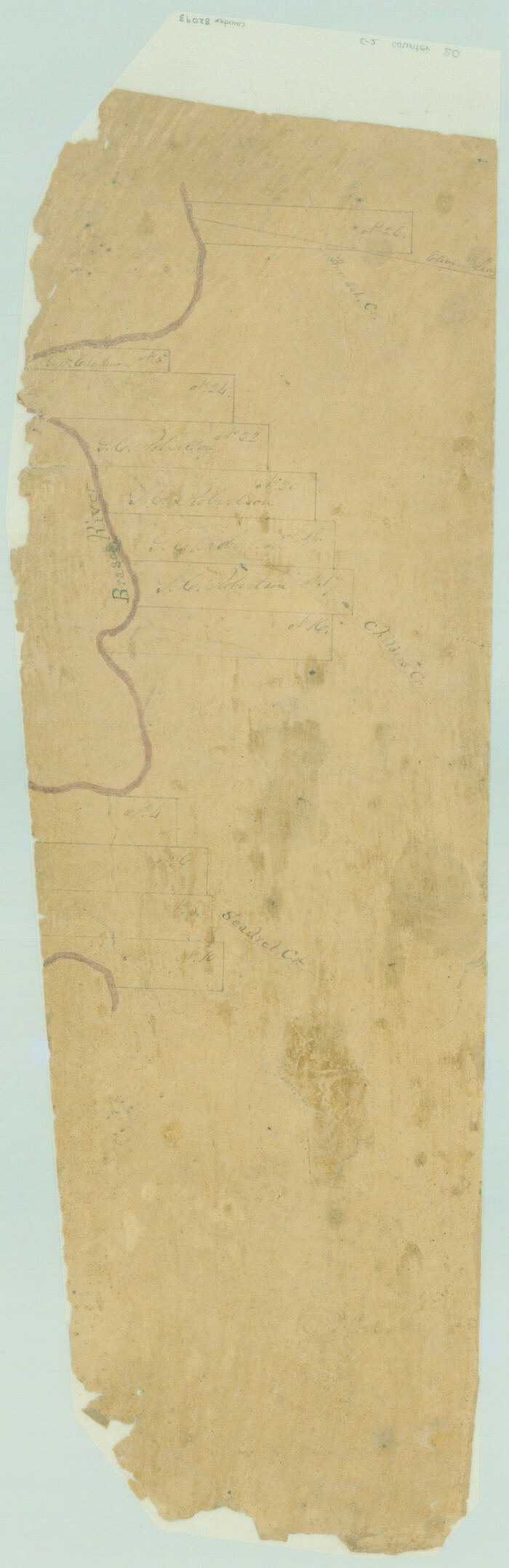
[Surveys along the Leon River]
Print $20.00
- Digital $50.00
[Surveys along the Leon River]
1840
Size: 20.5 x 6.7 inches
82093
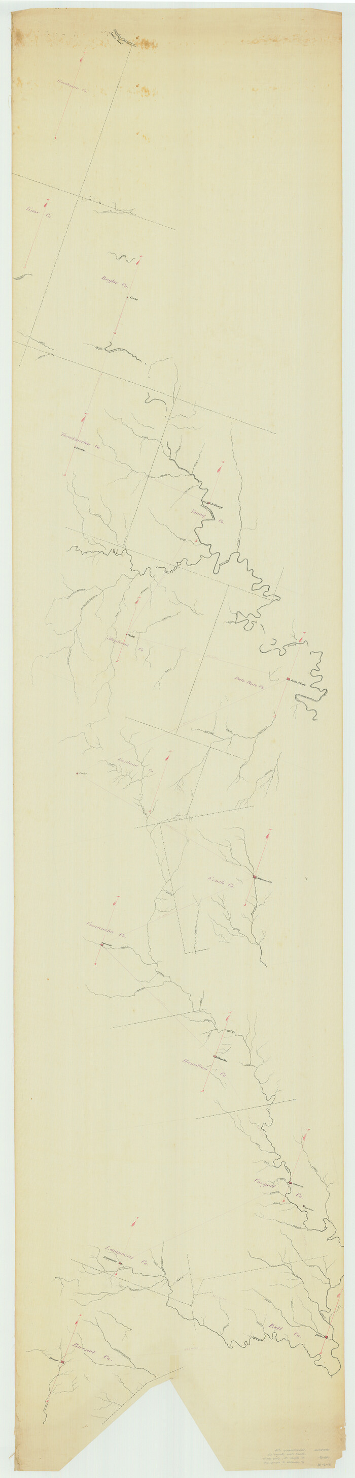
[Sketch from Burnet Co. to Baylor Co. tying center of counties to county site]
Print $40.00
- Digital $50.00
[Sketch from Burnet Co. to Baylor Co. tying center of counties to county site]
1900
Size: 132.6 x 31.9 inches
1699
Mills County Working Sketch 28

Print $40.00
- Digital $50.00
Mills County Working Sketch 28
2006
Size: 42.0 x 67.4 inches
85385
Mills County Working Sketch 13

Print $20.00
- Digital $50.00
Mills County Working Sketch 13
1943
Size: 27.4 x 28.7 inches
71043
Mills County Working Sketch 12

Print $20.00
- Digital $50.00
Mills County Working Sketch 12
1923
Size: 22.1 x 26.3 inches
71042
Mills County Sketch File 24

Print $20.00
- Digital $50.00
Mills County Sketch File 24
Size: 19.2 x 21.0 inches
12094
Mills County Sketch File 11

Print $6.00
- Digital $50.00
Mills County Sketch File 11
1876
Size: 10.6 x 13.0 inches
31659
Mills County Sketch File 10 1/2

Print $24.00
- Digital $50.00
Mills County Sketch File 10 1/2
1876
Size: 14.4 x 17.6 inches
31656
Map of Hamilton County

Print $20.00
- Digital $50.00
Map of Hamilton County
1872
Size: 14.6 x 21.7 inches
3620
Map of Hamilton County

Print $20.00
- Digital $50.00
Map of Hamilton County
1863
Size: 22.8 x 25.8 inches
3621
Map of Hamilton County

Print $20.00
- Digital $50.00
Map of Hamilton County
1872
Size: 15.1 x 22.1 inches
4555
Map of Hamilton County

Print $20.00
- Digital $50.00
Map of Hamilton County
1872
Size: 14.9 x 21.9 inches
4556
Map of Hamilton County

Print $20.00
- Digital $50.00
Map of Hamilton County
1872
Size: 15.0 x 21.9 inches
4557
Map of Hamilton County

Print $20.00
- Digital $50.00
Map of Hamilton County
1916
Size: 38.3 x 40.9 inches
4695
Lampasas County Working Sketch 20, revised

Print $20.00
- Digital $50.00
Lampasas County Working Sketch 20, revised
1981
Size: 27.1 x 34.5 inches
70298
Lampasas County Working Sketch 20

Print $20.00
- Digital $50.00
Lampasas County Working Sketch 20
1981
Size: 26.0 x 31.9 inches
70297
Head of Cowhouse Cr.

Print $2.00
- Digital $50.00
Head of Cowhouse Cr.
1846
Size: 6.4 x 13.7 inches
271
Hamilton County Working Sketch Graphic Index

Print $20.00
- Digital $50.00
Hamilton County Working Sketch Graphic Index
1972
Size: 34.3 x 39.8 inches
76564
Hamilton County Working Sketch 9

Print $20.00
- Digital $50.00
Hamilton County Working Sketch 9
1946
Size: 31.3 x 24.0 inches
63347
Hamilton County Working Sketch 8

Print $20.00
- Digital $50.00
Hamilton County Working Sketch 8
1943
Size: 27.6 x 28.5 inches
63346
Hamilton County Working Sketch 7

Print $20.00
- Digital $50.00
Hamilton County Working Sketch 7
1942
Size: 15.2 x 20.2 inches
63345
Hamilton County Working Sketch 6

Print $20.00
- Digital $50.00
Hamilton County Working Sketch 6
1942
Size: 21.7 x 20.1 inches
63344
Hamilton County Working Sketch 5

Print $20.00
- Digital $50.00
Hamilton County Working Sketch 5
1941
Size: 25.5 x 20.1 inches
63343
Hamilton County Working Sketch 4

Print $20.00
- Digital $50.00
Hamilton County Working Sketch 4
1935
Size: 32.6 x 36.9 inches
63342
Hamilton County Working Sketch 36

Print $40.00
- Digital $50.00
Hamilton County Working Sketch 36
2008
Size: 36.9 x 57.3 inches
88996
Hamilton County Working Sketch 35

Print $20.00
- Digital $50.00
Hamilton County Working Sketch 35
Size: 26.3 x 19.1 inches
78286
[Surveys in the Milam District along the Leon River]
Print $20.00
- Digital $50.00
[Surveys in the Milam District along the Leon River]
1845
-
Size
12.0 x 15.4 inches
-
Map/Doc
272
-
Creation Date
1845
[Surveys in Mills, Hamilton, Coryell and Bell Counties]
Print $20.00
- Digital $50.00
[Surveys in Mills, Hamilton, Coryell and Bell Counties]
-
Size
33.9 x 19.5 inches
-
Map/Doc
78362
[Surveys along the Leon River]
Print $20.00
- Digital $50.00
[Surveys along the Leon River]
1840
-
Size
20.3 x 6.6 inches
-
Map/Doc
20
-
Creation Date
1840
[Surveys along the Leon River]
Print $20.00
- Digital $50.00
[Surveys along the Leon River]
1840
-
Size
20.5 x 6.7 inches
-
Map/Doc
82093
-
Creation Date
1840
[Sketch from Burnet Co. to Baylor Co. tying center of counties to county site]
Print $40.00
- Digital $50.00
[Sketch from Burnet Co. to Baylor Co. tying center of counties to county site]
1900
-
Size
132.6 x 31.9 inches
-
Map/Doc
1699
-
Creation Date
1900
Mills County Working Sketch 28
Print $40.00
- Digital $50.00
Mills County Working Sketch 28
2006
-
Size
42.0 x 67.4 inches
-
Map/Doc
85385
-
Creation Date
2006
Mills County Working Sketch 13
Print $20.00
- Digital $50.00
Mills County Working Sketch 13
1943
-
Size
27.4 x 28.7 inches
-
Map/Doc
71043
-
Creation Date
1943
Mills County Working Sketch 12
Print $20.00
- Digital $50.00
Mills County Working Sketch 12
1923
-
Size
22.1 x 26.3 inches
-
Map/Doc
71042
-
Creation Date
1923
Mills County Sketch File 24
Print $20.00
- Digital $50.00
Mills County Sketch File 24
-
Size
19.2 x 21.0 inches
-
Map/Doc
12094
Mills County Sketch File 11
Print $6.00
- Digital $50.00
Mills County Sketch File 11
1876
-
Size
10.6 x 13.0 inches
-
Map/Doc
31659
-
Creation Date
1876
Mills County Sketch File 10 1/2
Print $24.00
- Digital $50.00
Mills County Sketch File 10 1/2
1876
-
Size
14.4 x 17.6 inches
-
Map/Doc
31656
-
Creation Date
1876
Map of Hamilton County
Print $20.00
- Digital $50.00
Map of Hamilton County
1872
-
Size
14.6 x 21.7 inches
-
Map/Doc
3620
-
Creation Date
1872
Map of Hamilton County
Print $20.00
- Digital $50.00
Map of Hamilton County
1863
-
Size
22.8 x 25.8 inches
-
Map/Doc
3621
-
Creation Date
1863
Map of Hamilton County
Print $20.00
- Digital $50.00
Map of Hamilton County
1872
-
Size
15.1 x 22.1 inches
-
Map/Doc
4555
-
Creation Date
1872
Map of Hamilton County
Print $20.00
- Digital $50.00
Map of Hamilton County
1872
-
Size
14.9 x 21.9 inches
-
Map/Doc
4556
-
Creation Date
1872
Map of Hamilton County
Print $20.00
- Digital $50.00
Map of Hamilton County
1872
-
Size
15.0 x 21.9 inches
-
Map/Doc
4557
-
Creation Date
1872
Map of Hamilton County
Print $20.00
- Digital $50.00
Map of Hamilton County
1916
-
Size
38.3 x 40.9 inches
-
Map/Doc
4695
-
Creation Date
1916
Map of Hamilton County

Print $20.00
Map of Hamilton County
1876
-
Size
19.0 x 22.2 inches
-
Map/Doc
88945
-
Creation Date
1876
Lampasas County Working Sketch 20, revised
Print $20.00
- Digital $50.00
Lampasas County Working Sketch 20, revised
1981
-
Size
27.1 x 34.5 inches
-
Map/Doc
70298
-
Creation Date
1981
Lampasas County Working Sketch 20
Print $20.00
- Digital $50.00
Lampasas County Working Sketch 20
1981
-
Size
26.0 x 31.9 inches
-
Map/Doc
70297
-
Creation Date
1981
Head of Cowhouse Cr.
Print $2.00
- Digital $50.00
Head of Cowhouse Cr.
1846
-
Size
6.4 x 13.7 inches
-
Map/Doc
271
-
Creation Date
1846
Hamilton County Working Sketch Graphic Index
Print $20.00
- Digital $50.00
Hamilton County Working Sketch Graphic Index
1972
-
Size
34.3 x 39.8 inches
-
Map/Doc
76564
-
Creation Date
1972
Hamilton County Working Sketch 9
Print $20.00
- Digital $50.00
Hamilton County Working Sketch 9
1946
-
Size
31.3 x 24.0 inches
-
Map/Doc
63347
-
Creation Date
1946
Hamilton County Working Sketch 8
Print $20.00
- Digital $50.00
Hamilton County Working Sketch 8
1943
-
Size
27.6 x 28.5 inches
-
Map/Doc
63346
-
Creation Date
1943
Hamilton County Working Sketch 7
Print $20.00
- Digital $50.00
Hamilton County Working Sketch 7
1942
-
Size
15.2 x 20.2 inches
-
Map/Doc
63345
-
Creation Date
1942
Hamilton County Working Sketch 6
Print $20.00
- Digital $50.00
Hamilton County Working Sketch 6
1942
-
Size
21.7 x 20.1 inches
-
Map/Doc
63344
-
Creation Date
1942
Hamilton County Working Sketch 5
Print $20.00
- Digital $50.00
Hamilton County Working Sketch 5
1941
-
Size
25.5 x 20.1 inches
-
Map/Doc
63343
-
Creation Date
1941
Hamilton County Working Sketch 4
Print $20.00
- Digital $50.00
Hamilton County Working Sketch 4
1935
-
Size
32.6 x 36.9 inches
-
Map/Doc
63342
-
Creation Date
1935
Hamilton County Working Sketch 36
Print $40.00
- Digital $50.00
Hamilton County Working Sketch 36
2008
-
Size
36.9 x 57.3 inches
-
Map/Doc
88996
-
Creation Date
2008
Hamilton County Working Sketch 35
Print $20.00
- Digital $50.00
Hamilton County Working Sketch 35
-
Size
26.3 x 19.1 inches
-
Map/Doc
78286