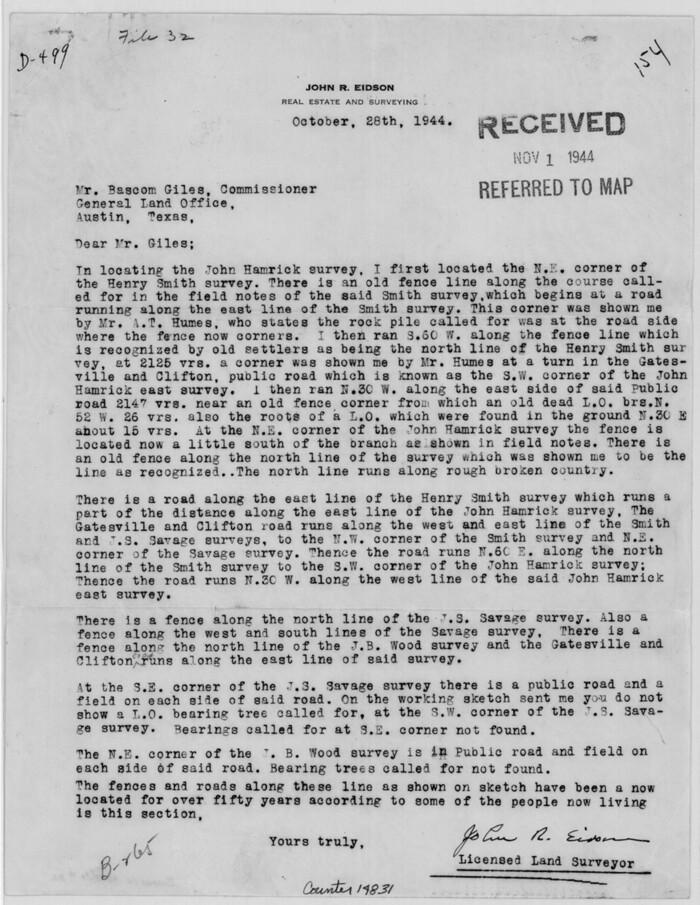
Bosque County Sketch File 32
1944

Bosque County Sketch File 6
1851
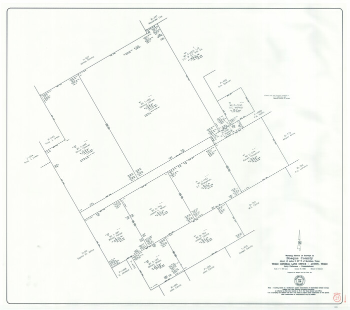
Bosque County Working Sketch 29
2009

Comanche County Sketch File 1
1847
Comanche County Sketch File 12
1859

Comanche County Sketch File 18
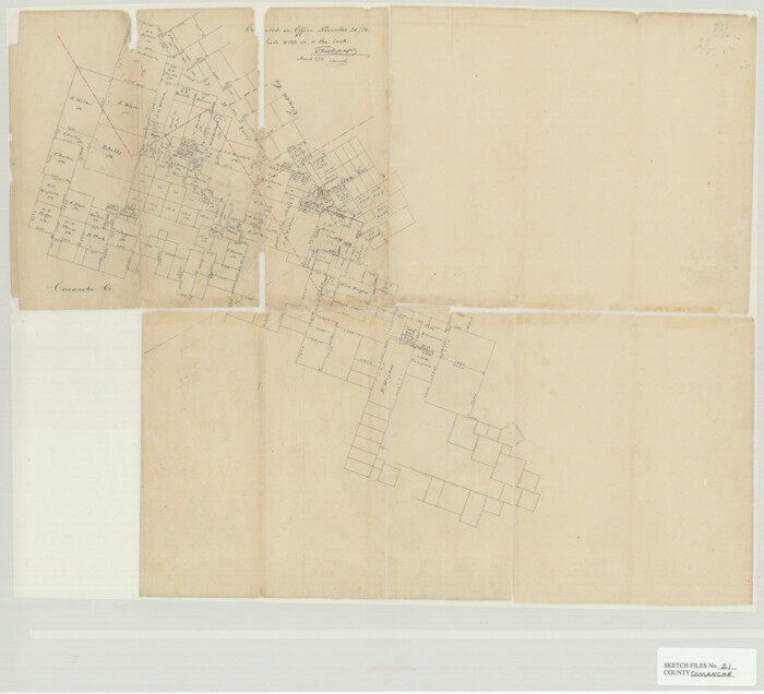
Comanche County Sketch File 21

Comanche County Sketch File 23
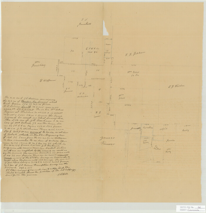
Comanche County Sketch File 26
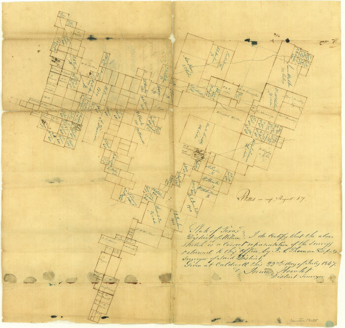
Comanche County Sketch File 3
1847
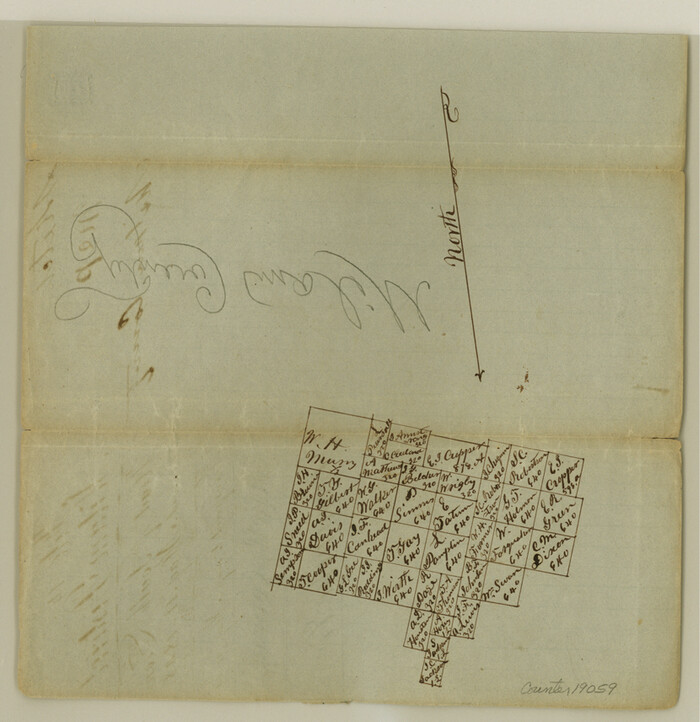
Comanche County Sketch File 5
1848

Comanche County Working Sketch 2
1918

Comanche County Working Sketch 31
1991
Coryell County Sketch File 10
1861

Coryell County Sketch File 11
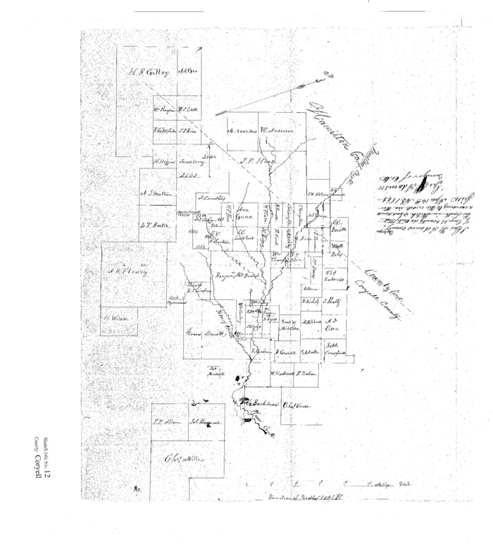
Coryell County Sketch File 12
1863
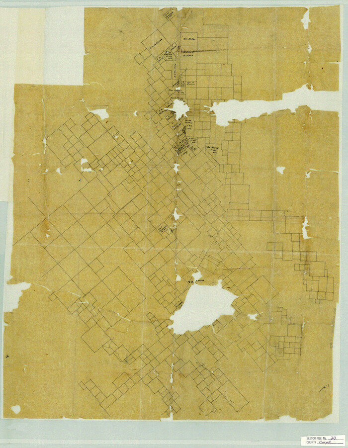
Coryell County Sketch File 20
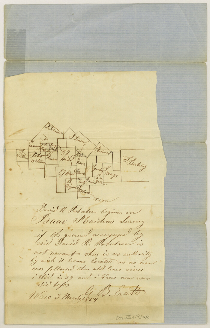
Coryell County Sketch File 4
1854
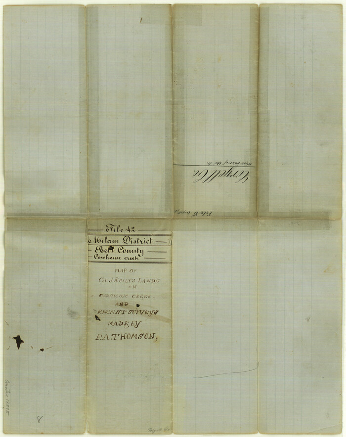
Coryell County Sketch File 5
1858
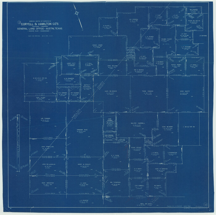
Coryell County Working Sketch 10
1949
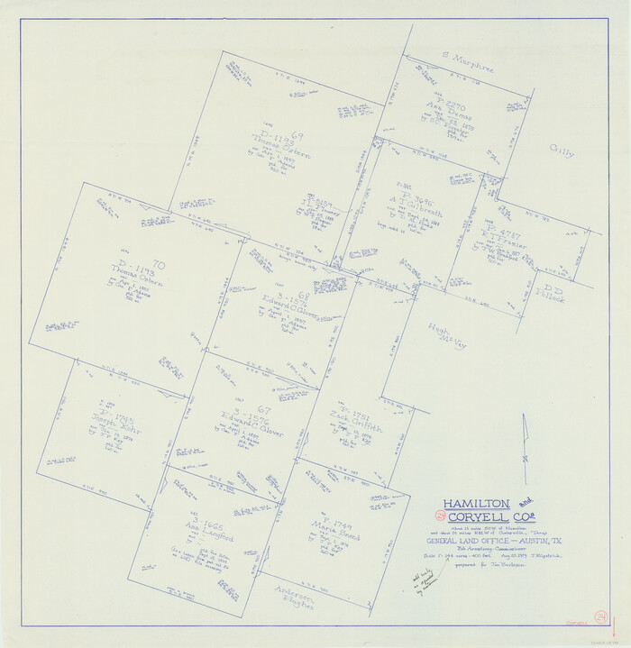
Coryell County Working Sketch 24
1979

Erath County Rolled Sketch 3
1982
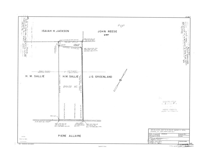
Erath County Rolled Sketch 3A
1982

Erath County Working Sketch 45
1982
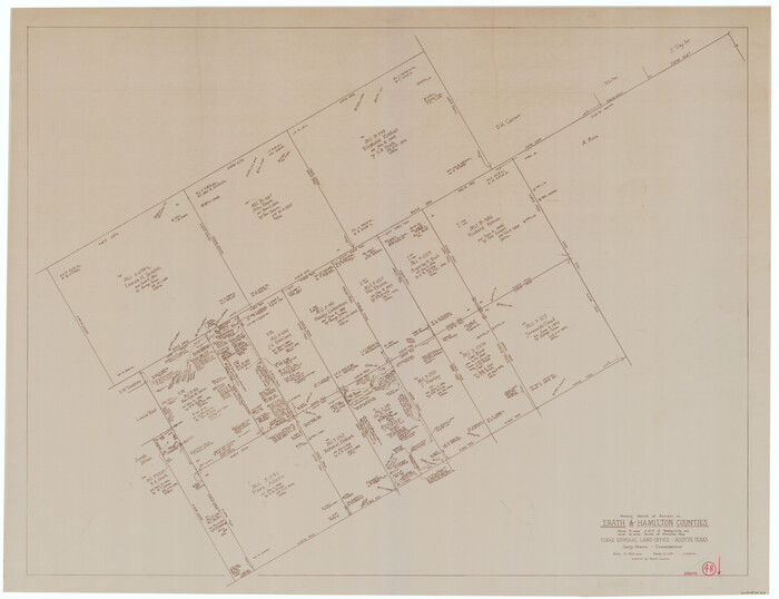
Erath County Working Sketch 48
1989

General Highway Map, Hamilton County, Texas
1940
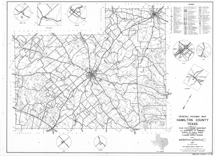
General Highway Map, Hamilton County, Texas
1961

Bosque County Sketch File 32
1944
-
Size
19.6 x 18.6 inches
-
Map/Doc
10938
-
Creation Date
1944

Bosque County Sketch File 6
1851
-
Size
12.1 x 7.6 inches
-
Map/Doc
14748
-
Creation Date
1851

Bosque County Working Sketch 29
2009
-
Size
35.9 x 40.6 inches
-
Map/Doc
88997
-
Creation Date
2009

Comanche County Sketch File 1
1847
-
Size
15.4 x 11.8 inches
-
Map/Doc
19051
-
Creation Date
1847

Comanche County Sketch File 12
1859
-
Size
8.5 x 15.2 inches
-
Map/Doc
19074
-
Creation Date
1859

Comanche County Sketch File 18
-
Size
8.4 x 7.8 inches
-
Map/Doc
19091

Comanche County Sketch File 21
-
Size
18.3 x 20.2 inches
-
Map/Doc
11143

Comanche County Sketch File 23
-
Size
8.3 x 7.5 inches
-
Map/Doc
19111

Comanche County Sketch File 26
-
Size
18.0 x 17.5 inches
-
Map/Doc
11144

Comanche County Sketch File 3
1847
-
Size
14.8 x 15.6 inches
-
Map/Doc
19055
-
Creation Date
1847

Comanche County Sketch File 5
1848
-
Size
8.6 x 8.3 inches
-
Map/Doc
19059
-
Creation Date
1848

Comanche County Working Sketch 2
1918
-
Size
15.0 x 21.5 inches
-
Map/Doc
68136
-
Creation Date
1918

Comanche County Working Sketch 31
1991
-
Size
28.4 x 24.2 inches
-
Map/Doc
68165
-
Creation Date
1991

Coryell County Sketch File 10
1861
-
Size
8.6 x 7.2 inches
-
Map/Doc
19361
-
Creation Date
1861

Coryell County Sketch File 11
-
Size
8.7 x 11.7 inches
-
Map/Doc
19364

Coryell County Sketch File 12
1863
-
Size
21.7 x 19.3 inches
-
Map/Doc
11181
-
Creation Date
1863

Coryell County Sketch File 20
-
Size
25.8 x 20.1 inches
-
Map/Doc
11183

Coryell County Sketch File 4
1854
-
Size
12.8 x 8.2 inches
-
Map/Doc
19342
-
Creation Date
1854

Coryell County Sketch File 5
1858
-
Size
16.0 x 12.7 inches
-
Map/Doc
19345
-
Creation Date
1858

Coryell County Working Sketch 10
1949
-
Size
36.7 x 37.0 inches
-
Map/Doc
68217
-
Creation Date
1949

Coryell County Working Sketch 24
1979
-
Size
35.5 x 34.5 inches
-
Map/Doc
68231
-
Creation Date
1979

Erath County Rolled Sketch 3
1982
-
Size
22.6 x 27.9 inches
-
Map/Doc
5864
-
Creation Date
1982

Erath County Rolled Sketch 3A
1982
-
Size
21.7 x 27.8 inches
-
Map/Doc
5865
-
Creation Date
1982

Erath County Working Sketch 45
1982
-
Size
25.5 x 24.8 inches
-
Map/Doc
69126
-
Creation Date
1982

Erath County Working Sketch 48
1989
-
Size
36.5 x 47.6 inches
-
Map/Doc
69129
-
Creation Date
1989

General Highway Map, Hamilton County, Texas
1940
-
Size
18.4 x 24.9 inches
-
Map/Doc
79111
-
Creation Date
1940

General Highway Map, Hamilton County, Texas
1961
-
Size
18.1 x 24.9 inches
-
Map/Doc
79496
-
Creation Date
1961

Hamilton Co.
1887
-
Size
36.3 x 43.6 inches
-
Map/Doc
4968
-
Creation Date
1887

Hamilton Co.
1972
-
Size
35.6 x 41.2 inches
-
Map/Doc
73168
-
Creation Date
1972
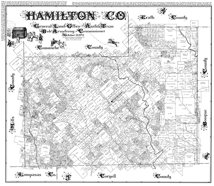
Hamilton Co.
1972
-
Size
35.8 x 41.5 inches
-
Map/Doc
77300
-
Creation Date
1972