Franklin County Sketch File 9


Print $20.00
- Digital $50.00
Franklin County Sketch File 9
Size: 13.6 x 23.1 inches
11515
Hopkins County Sketch File 28
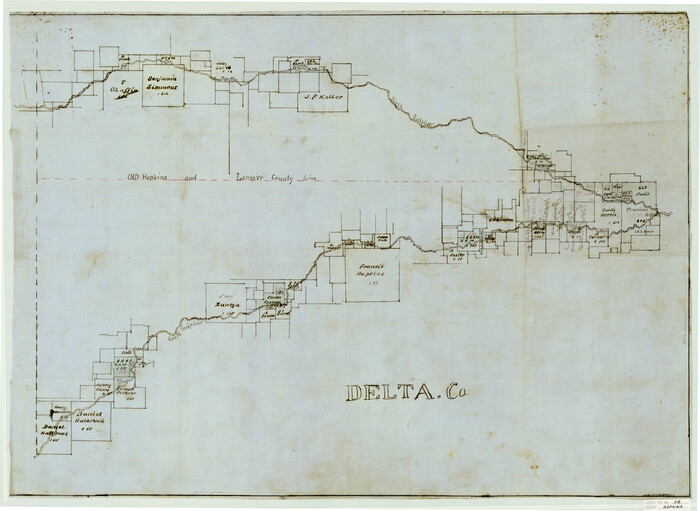

Print $20.00
- Digital $50.00
Hopkins County Sketch File 28
Size: 24.8 x 34.0 inches
11786
Delta County Sketch File 3


Print $6.00
- Digital $50.00
Delta County Sketch File 3
Size: 10.2 x 12.6 inches
20672
Hopkins County Sketch File 2a
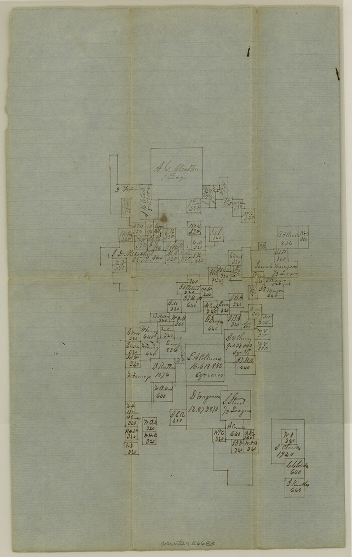

Print $4.00
- Digital $50.00
Hopkins County Sketch File 2a
Size: 13.6 x 8.6 inches
26683
Hopkins County Sketch File 3
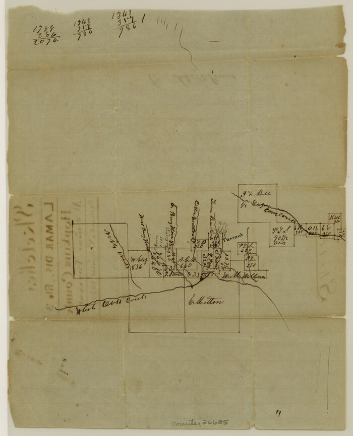

Print $4.00
- Digital $50.00
Hopkins County Sketch File 3
Size: 10.0 x 8.1 inches
26685
Hopkins County Sketch File 5


Print $4.00
- Digital $50.00
Hopkins County Sketch File 5
Size: 10.3 x 8.2 inches
26687
Hopkins County Sketch File 7


Print $6.00
- Digital $50.00
Hopkins County Sketch File 7
Size: 10.4 x 6.1 inches
26692
Hopkins County Sketch File 11
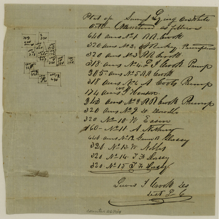

Print $4.00
- Digital $50.00
Hopkins County Sketch File 11
Size: 7.7 x 7.7 inches
26704
Hopkins County Sketch File 12
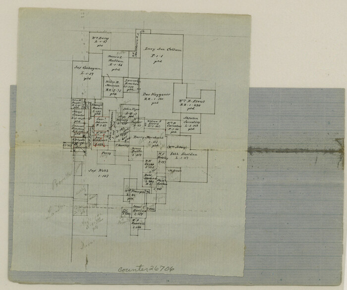

Print $6.00
- Digital $50.00
Hopkins County Sketch File 12
Size: 6.8 x 8.1 inches
26706
Hopkins County Sketch File 15


Print $4.00
- Digital $50.00
Hopkins County Sketch File 15
Size: 10.6 x 7.3 inches
26711
Hopkins County Sketch File 16a
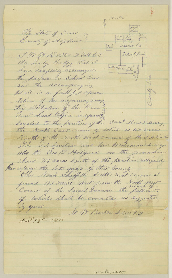

Print $4.00
- Digital $50.00
Hopkins County Sketch File 16a
Size: 12.1 x 7.6 inches
26715
Hopkins County Sketch File 26


Print $4.00
- Digital $50.00
Hopkins County Sketch File 26
Size: 8.4 x 6.1 inches
26736
Hopkins County Sketch File 4


Print $47.00
- Digital $50.00
Hopkins County Sketch File 4
Size: 21.2 x 18.4 inches
4565
Hopkins County Boundary File 1
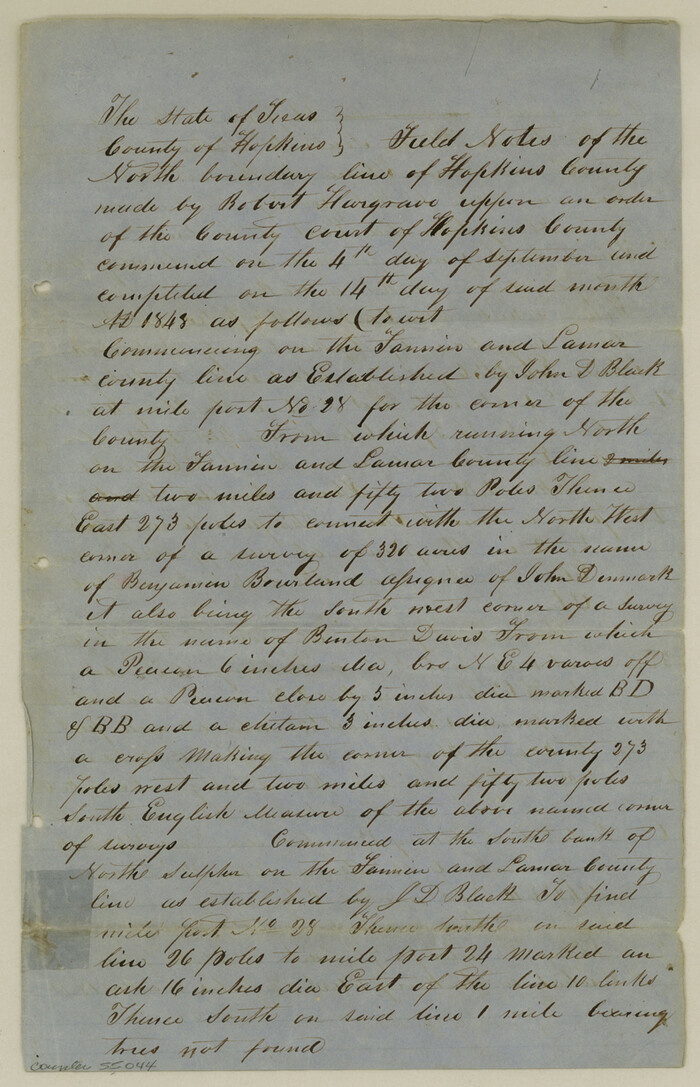

Print $26.00
- Digital $50.00
Hopkins County Boundary File 1
Size: 12.3 x 7.9 inches
55044
Hopkins County Boundary File 2
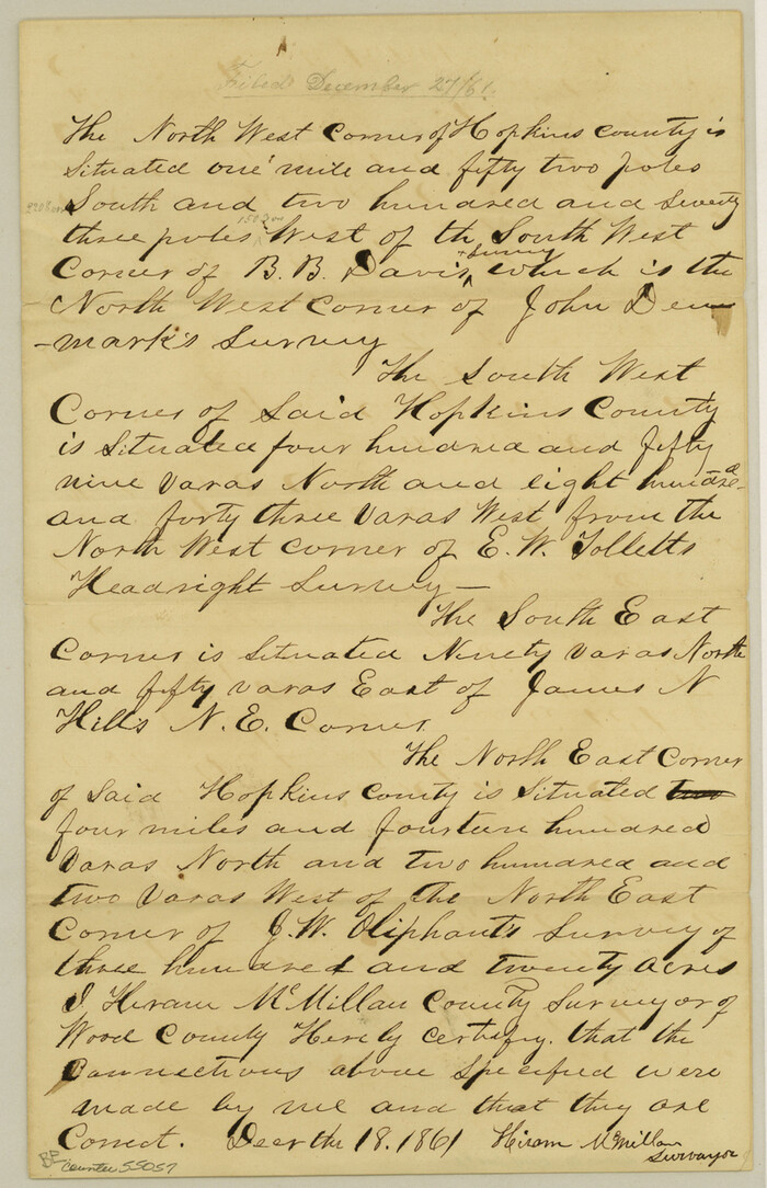

Print $4.00
- Digital $50.00
Hopkins County Boundary File 2
Size: 12.5 x 8.1 inches
55057
Hopkins County Boundary File 3
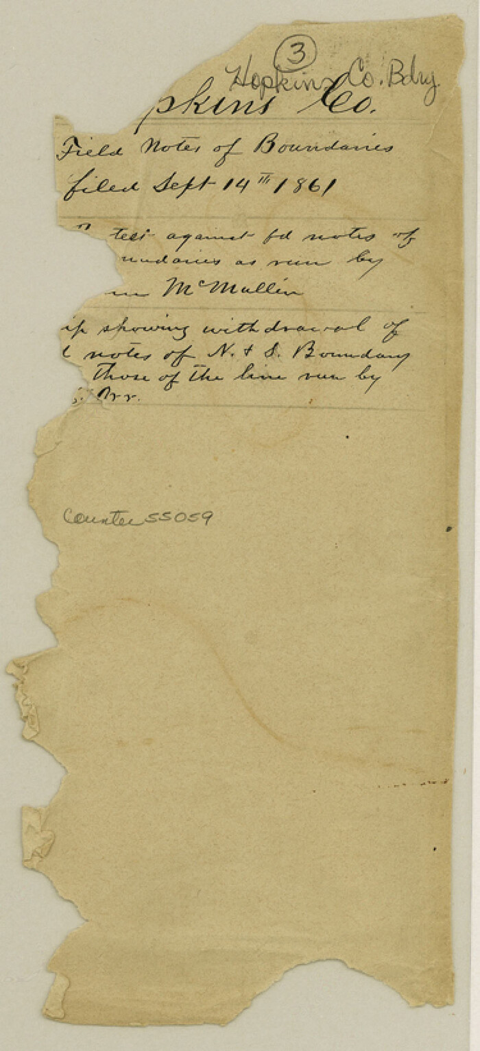

Print $46.00
- Digital $50.00
Hopkins County Boundary File 3
Size: 8.2 x 3.8 inches
55059
Hopkins County Boundary File 3a


Print $4.00
- Digital $50.00
Hopkins County Boundary File 3a
Size: 10.7 x 8.7 inches
55082
Hopkins County Boundary File 3b
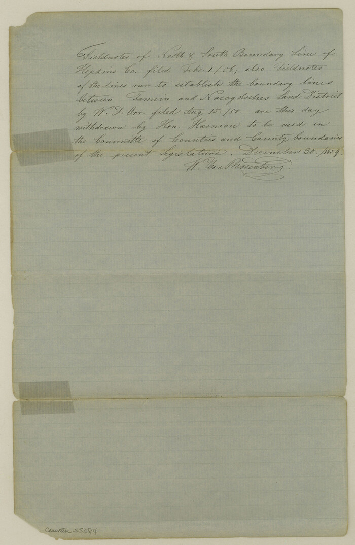

Print $4.00
- Digital $50.00
Hopkins County Boundary File 3b
Size: 12.7 x 8.3 inches
55084
Hopkins County Rolled Sketch 1


Print $20.00
- Digital $50.00
Hopkins County Rolled Sketch 1
Size: 34.5 x 40.0 inches
6224
Hopkins County Rolled Sketch 28


Print $20.00
- Digital $50.00
Hopkins County Rolled Sketch 28
Size: 25.3 x 19.9 inches
6225
Hunt County Rolled Sketch 1


Print $20.00
- Digital $50.00
Hunt County Rolled Sketch 1
Size: 28.3 x 18.4 inches
6266
[St. Louis & Southwestern]
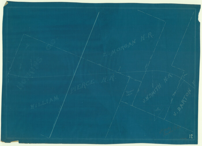

Print $20.00
- Digital $50.00
[St. Louis & Southwestern]
Size: 20.9 x 29.0 inches
64281
Map of the Recognised Line, M. El. P. & P. RR. from Texas & Arkansas State Line to Milam & Bexar Land District Line


Print $40.00
- Digital $50.00
Map of the Recognised Line, M. El. P. & P. RR. from Texas & Arkansas State Line to Milam & Bexar Land District Line
Size: 15.3 x 89.4 inches
64638
Sabine River, Watershed of the Sabine and Neches Rivers


Print $20.00
- Digital $50.00
Sabine River, Watershed of the Sabine and Neches Rivers
Size: 39.5 x 36.0 inches
65132
Red River County Rolled Sketch 7A


Print $20.00
- Digital $50.00
Red River County Rolled Sketch 7A
Size: 28.3 x 33.1 inches
7472
Wood County Rolled Sketch 10
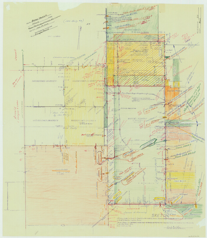

Print $20.00
- Digital $50.00
Wood County Rolled Sketch 10
Size: 30.1 x 26.1 inches
76416
Wood County Rolled Sketch 7


Print $20.00
- Digital $50.00
Wood County Rolled Sketch 7
Size: 31.9 x 26.9 inches
8285
Combination Map of Henderson, Kaufman, Rains, Van Zandt, Hunt & Rockwall Counties
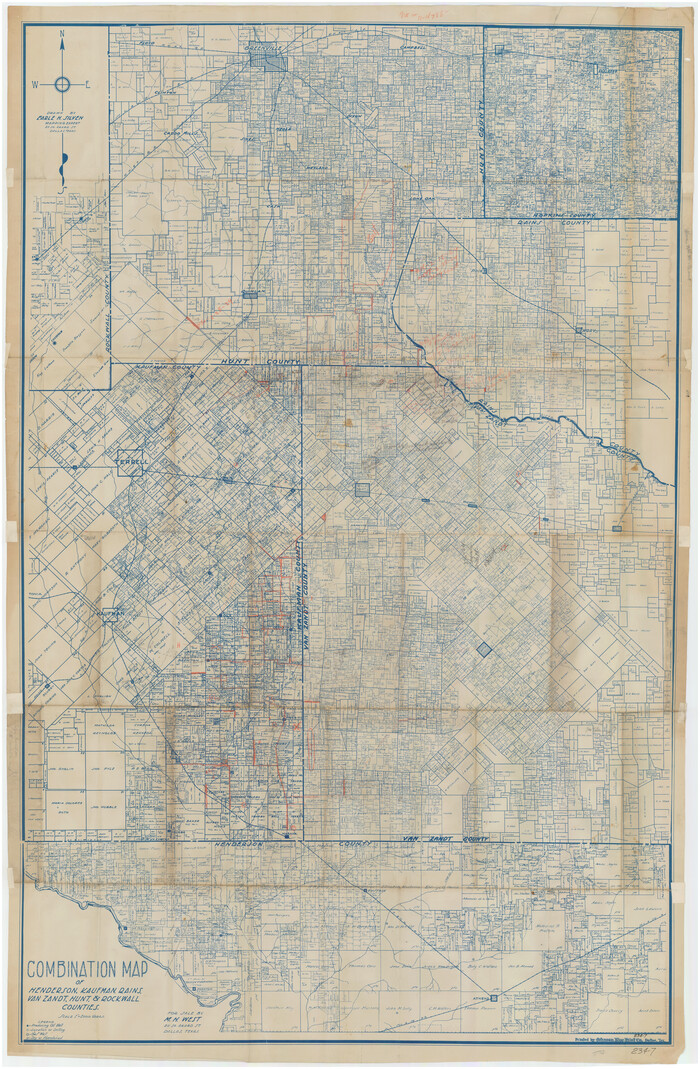

Print $40.00
- Digital $50.00
Combination Map of Henderson, Kaufman, Rains, Van Zandt, Hunt & Rockwall Counties
Size: 42.6 x 64.8 inches
89810
English Field Notes of the Spanish Archives - Books J.S.2, 3, and 4

English Field Notes of the Spanish Archives - Books J.S.2, 3, and 4
1835
96550
[Surveys in Hopkins and Wood Counties]
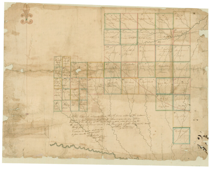

Print $20.00
- Digital $50.00
[Surveys in Hopkins and Wood Counties]
1838
Size: 24.7 x 31.7 inches
365
Franklin County Sketch File 9


Print $20.00
- Digital $50.00
Franklin County Sketch File 9
-
Size
13.6 x 23.1 inches
-
Map/Doc
11515
Hopkins County Sketch File 28


Print $20.00
- Digital $50.00
Hopkins County Sketch File 28
-
Size
24.8 x 34.0 inches
-
Map/Doc
11786
Delta County Sketch File 3


Print $6.00
- Digital $50.00
Delta County Sketch File 3
-
Size
10.2 x 12.6 inches
-
Map/Doc
20672
Hopkins County Sketch File 2a


Print $4.00
- Digital $50.00
Hopkins County Sketch File 2a
-
Size
13.6 x 8.6 inches
-
Map/Doc
26683
Hopkins County Sketch File 3


Print $4.00
- Digital $50.00
Hopkins County Sketch File 3
-
Size
10.0 x 8.1 inches
-
Map/Doc
26685
Hopkins County Sketch File 5


Print $4.00
- Digital $50.00
Hopkins County Sketch File 5
-
Size
10.3 x 8.2 inches
-
Map/Doc
26687
Hopkins County Sketch File 7


Print $6.00
- Digital $50.00
Hopkins County Sketch File 7
-
Size
10.4 x 6.1 inches
-
Map/Doc
26692
Hopkins County Sketch File 11


Print $4.00
- Digital $50.00
Hopkins County Sketch File 11
-
Size
7.7 x 7.7 inches
-
Map/Doc
26704
Hopkins County Sketch File 12


Print $6.00
- Digital $50.00
Hopkins County Sketch File 12
-
Size
6.8 x 8.1 inches
-
Map/Doc
26706
Hopkins County Sketch File 15


Print $4.00
- Digital $50.00
Hopkins County Sketch File 15
-
Size
10.6 x 7.3 inches
-
Map/Doc
26711
Hopkins County Sketch File 16a


Print $4.00
- Digital $50.00
Hopkins County Sketch File 16a
-
Size
12.1 x 7.6 inches
-
Map/Doc
26715
Hopkins County Sketch File 26


Print $4.00
- Digital $50.00
Hopkins County Sketch File 26
-
Size
8.4 x 6.1 inches
-
Map/Doc
26736
Hopkins County Sketch File 4


Print $47.00
- Digital $50.00
Hopkins County Sketch File 4
-
Size
21.2 x 18.4 inches
-
Map/Doc
4565
Hopkins County Boundary File 1


Print $26.00
- Digital $50.00
Hopkins County Boundary File 1
-
Size
12.3 x 7.9 inches
-
Map/Doc
55044
Hopkins County Boundary File 2


Print $4.00
- Digital $50.00
Hopkins County Boundary File 2
-
Size
12.5 x 8.1 inches
-
Map/Doc
55057
Hopkins County Boundary File 3


Print $46.00
- Digital $50.00
Hopkins County Boundary File 3
-
Size
8.2 x 3.8 inches
-
Map/Doc
55059
Hopkins County Boundary File 3a


Print $4.00
- Digital $50.00
Hopkins County Boundary File 3a
-
Size
10.7 x 8.7 inches
-
Map/Doc
55082
Hopkins County Boundary File 3b


Print $4.00
- Digital $50.00
Hopkins County Boundary File 3b
-
Size
12.7 x 8.3 inches
-
Map/Doc
55084
Hopkins County Rolled Sketch 1


Print $20.00
- Digital $50.00
Hopkins County Rolled Sketch 1
-
Size
34.5 x 40.0 inches
-
Map/Doc
6224
Hopkins County Rolled Sketch 28


Print $20.00
- Digital $50.00
Hopkins County Rolled Sketch 28
-
Size
25.3 x 19.9 inches
-
Map/Doc
6225
Hunt County Rolled Sketch 1


Print $20.00
- Digital $50.00
Hunt County Rolled Sketch 1
-
Size
28.3 x 18.4 inches
-
Map/Doc
6266
[St. Louis & Southwestern]
![64281, [St. Louis & Southwestern], General Map Collection](https://historictexasmaps.com/wmedia_w700/maps/64281.tif.jpg)
![64281, [St. Louis & Southwestern], General Map Collection](https://historictexasmaps.com/wmedia_w700/maps/64281.tif.jpg)
Print $20.00
- Digital $50.00
[St. Louis & Southwestern]
-
Size
20.9 x 29.0 inches
-
Map/Doc
64281
Map of the Recognised Line, M. El. P. & P. RR. from Texas & Arkansas State Line to Milam & Bexar Land District Line


Print $40.00
- Digital $50.00
Map of the Recognised Line, M. El. P. & P. RR. from Texas & Arkansas State Line to Milam & Bexar Land District Line
-
Size
15.3 x 89.4 inches
-
Map/Doc
64638
Sabine River, Watershed of the Sabine and Neches Rivers


Print $20.00
- Digital $50.00
Sabine River, Watershed of the Sabine and Neches Rivers
-
Size
39.5 x 36.0 inches
-
Map/Doc
65132
Red River County Rolled Sketch 7A


Print $20.00
- Digital $50.00
Red River County Rolled Sketch 7A
-
Size
28.3 x 33.1 inches
-
Map/Doc
7472
Wood County Rolled Sketch 10


Print $20.00
- Digital $50.00
Wood County Rolled Sketch 10
-
Size
30.1 x 26.1 inches
-
Map/Doc
76416
Wood County Rolled Sketch 7


Print $20.00
- Digital $50.00
Wood County Rolled Sketch 7
-
Size
31.9 x 26.9 inches
-
Map/Doc
8285
Combination Map of Henderson, Kaufman, Rains, Van Zandt, Hunt & Rockwall Counties


Print $40.00
- Digital $50.00
Combination Map of Henderson, Kaufman, Rains, Van Zandt, Hunt & Rockwall Counties
-
Size
42.6 x 64.8 inches
-
Map/Doc
89810
English Field Notes of the Spanish Archives - Books J.S.2, 3, and 4


English Field Notes of the Spanish Archives - Books J.S.2, 3, and 4
1835
-
Map/Doc
96550
-
Creation Date
1835
[Surveys in Hopkins and Wood Counties]
![365, [Surveys in Hopkins and Wood Counties], General Map Collection](https://historictexasmaps.com/wmedia_w700/maps/365-1.tif.jpg)
![365, [Surveys in Hopkins and Wood Counties], General Map Collection](https://historictexasmaps.com/wmedia_w700/maps/365-1.tif.jpg)
Print $20.00
- Digital $50.00
[Surveys in Hopkins and Wood Counties]
1838
-
Size
24.7 x 31.7 inches
-
Map/Doc
365
-
Creation Date
1838