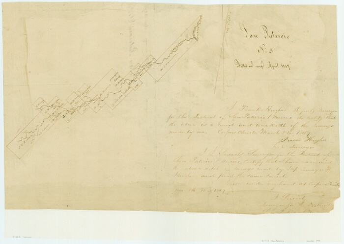
[Surveys along Lagarta Creek]
Print $3.00
- Digital $50.00
[Surveys along Lagarta Creek]
1847
Size: 10.7 x 15.1 inches
190
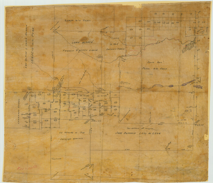
[Surveying Sketch of Loma Blanca, Santa Rosa, San Antonio del Encinal, et al]
Print $20.00
- Digital $50.00
[Surveying Sketch of Loma Blanca, Santa Rosa, San Antonio del Encinal, et al]
Size: 19.0 x 22.1 inches
4449
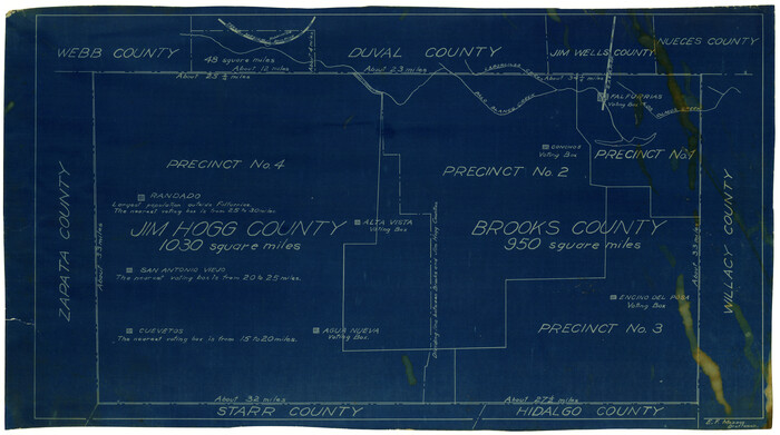
[Sketch showing voting precincts in Jim Hogg and Brooks Counties]
Print $20.00
- Digital $50.00
[Sketch showing voting precincts in Jim Hogg and Brooks Counties]
Size: 10.1 x 18.2 inches
4497
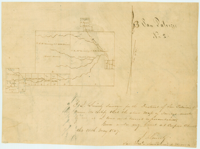
[San Patricio No. 2]
Print $2.00
- Digital $50.00
[San Patricio No. 2]
1847
Size: 8.3 x 11.2 inches
69746
Starr County Sketch File 14

Print $40.00
- Digital $50.00
Starr County Sketch File 14
Size: 23.8 x 46.0 inches
4626
Nueces River, La Fruta Sheet

Print $20.00
- Digital $50.00
Nueces River, La Fruta Sheet
1927
Size: 36.4 x 37.2 inches
65089
Nueces County Sketch File A

Print $10.00
- Digital $50.00
Nueces County Sketch File A
1879
Size: 14.9 x 10.3 inches
32493
Nueces County Sketch File 9

Print $4.00
- Digital $50.00
Nueces County Sketch File 9
1849
Size: 10.9 x 8.7 inches
32514
Nueces County Sketch File 8

Print $22.00
- Digital $50.00
Nueces County Sketch File 8
1849
Size: 8.2 x 12.4 inches
32512
Nueces County Sketch File 7

Print $7.00
- Digital $50.00
Nueces County Sketch File 7
1849
Size: 11.3 x 9.3 inches
32509
Nueces County Sketch File 6

Print $20.00
- Digital $50.00
Nueces County Sketch File 6
Size: 15.0 x 22.2 inches
42175
Nueces County Sketch File 28

Print $6.00
- Digital $50.00
Nueces County Sketch File 28
Size: 10.0 x 10.9 inches
32596
Nueces County Sketch File 25

Print $14.00
- Digital $50.00
Nueces County Sketch File 25
1876
Size: 8.7 x 6.3 inches
32572
Nueces County Sketch File 23

Print $36.00
- Digital $50.00
Nueces County Sketch File 23
1886
Size: 11.2 x 8.6 inches
32563
Nueces County Sketch File 22a

Print $6.00
- Digital $50.00
Nueces County Sketch File 22a
1884
Size: 9.3 x 11.8 inches
32561
Nueces County Sketch File 21

Print $8.00
- Digital $50.00
Nueces County Sketch File 21
1880
Size: 5.9 x 5.5 inches
32557
Nueces County Sketch File 2

Print $24.00
- Digital $50.00
Nueces County Sketch File 2
1847
Size: 7.6 x 12.5 inches
32500
Nueces County Sketch File 18

Print $4.00
- Digital $50.00
Nueces County Sketch File 18
1874
Size: 10.2 x 7.2 inches
32549
Nueces County Sketch File 17

Print $20.00
- Digital $50.00
Nueces County Sketch File 17
1854
Size: 24.8 x 26.6 inches
42180
Nueces County Sketch File 15

Print $4.00
- Digital $50.00
Nueces County Sketch File 15
1874
Size: 7.9 x 9.9 inches
32545
Nueces County Sketch File 14

Print $20.00
- Digital $50.00
Nueces County Sketch File 14
Size: 18.3 x 20.8 inches
42179
Nueces County Sketch File 11

Print $40.00
- Digital $50.00
Nueces County Sketch File 11
1859
Size: 11.2 x 8.6 inches
32518
Map of the County of Nueces and portions of adjoining counties showing the locality, dates and claimants of the several grants made by the government of Spain and Mexico

Print $20.00
- Digital $50.00
Map of the County of Nueces and portions of adjoining counties showing the locality, dates and claimants of the several grants made by the government of Spain and Mexico
1859
Size: 37.3 x 39.0 inches
4677
Live Oak County Sketch File 8

Print $4.00
- Digital $50.00
Live Oak County Sketch File 8
1875
Size: 7.6 x 7.9 inches
30261
Live Oak County Sketch File 3

Print $22.00
- Digital $50.00
Live Oak County Sketch File 3
1848
Size: 12.6 x 16.1 inches
30255
Land grants from the state of Tamaulipas in the trans-Nueces

Land grants from the state of Tamaulipas in the trans-Nueces
2009
Size: 11.0 x 8.5 inches
94040
Kenedy County Working Sketch 3

Print $20.00
- Digital $50.00
Kenedy County Working Sketch 3
1903
Size: 30.3 x 38.4 inches
70005
Kenedy County Working Sketch 1

Print $20.00
- Digital $50.00
Kenedy County Working Sketch 1
Size: 31.1 x 22.0 inches
70002
Jim Wells County Working Sketch Graphic Index

Print $20.00
- Digital $50.00
Jim Wells County Working Sketch Graphic Index
1966
Size: 41.7 x 29.5 inches
76597
[Surveys along Lagarta Creek]
Print $3.00
- Digital $50.00
[Surveys along Lagarta Creek]
1847
-
Size
10.7 x 15.1 inches
-
Map/Doc
190
-
Creation Date
1847
[Surveying Sketch of Loma Blanca, Santa Rosa, San Antonio del Encinal, et al]
Print $20.00
- Digital $50.00
[Surveying Sketch of Loma Blanca, Santa Rosa, San Antonio del Encinal, et al]
-
Size
19.0 x 22.1 inches
-
Map/Doc
4449
[Sketch showing voting precincts in Jim Hogg and Brooks Counties]
Print $20.00
- Digital $50.00
[Sketch showing voting precincts in Jim Hogg and Brooks Counties]
-
Size
10.1 x 18.2 inches
-
Map/Doc
4497
[San Patricio No. 2]
Print $2.00
- Digital $50.00
[San Patricio No. 2]
1847
-
Size
8.3 x 11.2 inches
-
Map/Doc
69746
-
Creation Date
1847
Starr County Sketch File 14
Print $40.00
- Digital $50.00
Starr County Sketch File 14
-
Size
23.8 x 46.0 inches
-
Map/Doc
4626
Nueces River, La Fruta Sheet
Print $20.00
- Digital $50.00
Nueces River, La Fruta Sheet
1927
-
Size
36.4 x 37.2 inches
-
Map/Doc
65089
-
Creation Date
1927
Nueces County Sketch File A
Print $10.00
- Digital $50.00
Nueces County Sketch File A
1879
-
Size
14.9 x 10.3 inches
-
Map/Doc
32493
-
Creation Date
1879
Nueces County Sketch File 9
Print $4.00
- Digital $50.00
Nueces County Sketch File 9
1849
-
Size
10.9 x 8.7 inches
-
Map/Doc
32514
-
Creation Date
1849
Nueces County Sketch File 8
Print $22.00
- Digital $50.00
Nueces County Sketch File 8
1849
-
Size
8.2 x 12.4 inches
-
Map/Doc
32512
-
Creation Date
1849
Nueces County Sketch File 7
Print $7.00
- Digital $50.00
Nueces County Sketch File 7
1849
-
Size
11.3 x 9.3 inches
-
Map/Doc
32509
-
Creation Date
1849
Nueces County Sketch File 6
Print $20.00
- Digital $50.00
Nueces County Sketch File 6
-
Size
15.0 x 22.2 inches
-
Map/Doc
42175
Nueces County Sketch File 28
Print $6.00
- Digital $50.00
Nueces County Sketch File 28
-
Size
10.0 x 10.9 inches
-
Map/Doc
32596
Nueces County Sketch File 25
Print $14.00
- Digital $50.00
Nueces County Sketch File 25
1876
-
Size
8.7 x 6.3 inches
-
Map/Doc
32572
-
Creation Date
1876
Nueces County Sketch File 23
Print $36.00
- Digital $50.00
Nueces County Sketch File 23
1886
-
Size
11.2 x 8.6 inches
-
Map/Doc
32563
-
Creation Date
1886
Nueces County Sketch File 22a
Print $6.00
- Digital $50.00
Nueces County Sketch File 22a
1884
-
Size
9.3 x 11.8 inches
-
Map/Doc
32561
-
Creation Date
1884
Nueces County Sketch File 21
Print $8.00
- Digital $50.00
Nueces County Sketch File 21
1880
-
Size
5.9 x 5.5 inches
-
Map/Doc
32557
-
Creation Date
1880
Nueces County Sketch File 2
Print $24.00
- Digital $50.00
Nueces County Sketch File 2
1847
-
Size
7.6 x 12.5 inches
-
Map/Doc
32500
-
Creation Date
1847
Nueces County Sketch File 18
Print $4.00
- Digital $50.00
Nueces County Sketch File 18
1874
-
Size
10.2 x 7.2 inches
-
Map/Doc
32549
-
Creation Date
1874
Nueces County Sketch File 17
Print $20.00
- Digital $50.00
Nueces County Sketch File 17
1854
-
Size
24.8 x 26.6 inches
-
Map/Doc
42180
-
Creation Date
1854
Nueces County Sketch File 15
Print $4.00
- Digital $50.00
Nueces County Sketch File 15
1874
-
Size
7.9 x 9.9 inches
-
Map/Doc
32545
-
Creation Date
1874
Nueces County Sketch File 14
Print $20.00
- Digital $50.00
Nueces County Sketch File 14
-
Size
18.3 x 20.8 inches
-
Map/Doc
42179
Nueces County Sketch File 11
Print $40.00
- Digital $50.00
Nueces County Sketch File 11
1859
-
Size
11.2 x 8.6 inches
-
Map/Doc
32518
-
Creation Date
1859
Map of the County of Nueces and portions of adjoining counties showing the locality, dates and claimants of the several grants made by the government of Spain and Mexico
Print $20.00
- Digital $50.00
Map of the County of Nueces and portions of adjoining counties showing the locality, dates and claimants of the several grants made by the government of Spain and Mexico
1859
-
Size
37.3 x 39.0 inches
-
Map/Doc
4677
-
Creation Date
1859
Map of Alice

Print $20.00
- Digital $50.00
Map of Alice
1952
-
Size
35.5 x 32.8 inches
-
Map/Doc
2212
-
Creation Date
1952
Live Oak County Sketch File 8
Print $4.00
- Digital $50.00
Live Oak County Sketch File 8
1875
-
Size
7.6 x 7.9 inches
-
Map/Doc
30261
-
Creation Date
1875
Live Oak County Sketch File 3
Print $22.00
- Digital $50.00
Live Oak County Sketch File 3
1848
-
Size
12.6 x 16.1 inches
-
Map/Doc
30255
-
Creation Date
1848
Land grants from the state of Tamaulipas in the trans-Nueces
Land grants from the state of Tamaulipas in the trans-Nueces
2009
-
Size
11.0 x 8.5 inches
-
Map/Doc
94040
-
Creation Date
2009
Kenedy County Working Sketch 3
Print $20.00
- Digital $50.00
Kenedy County Working Sketch 3
1903
-
Size
30.3 x 38.4 inches
-
Map/Doc
70005
-
Creation Date
1903
Kenedy County Working Sketch 1
Print $20.00
- Digital $50.00
Kenedy County Working Sketch 1
-
Size
31.1 x 22.0 inches
-
Map/Doc
70002
Jim Wells County Working Sketch Graphic Index
Print $20.00
- Digital $50.00
Jim Wells County Working Sketch Graphic Index
1966
-
Size
41.7 x 29.5 inches
-
Map/Doc
76597
-
Creation Date
1966