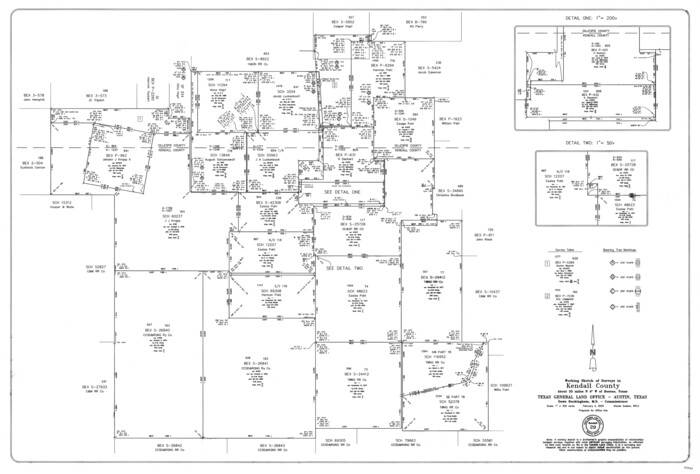
Kendall County Working Sketch 29
2025

Blanco County Rolled Sketch 23
2019
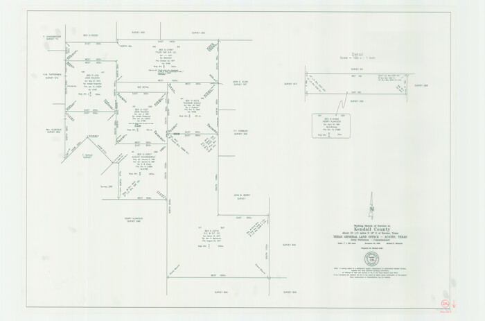
Kendall County Working Sketch 28a
2006
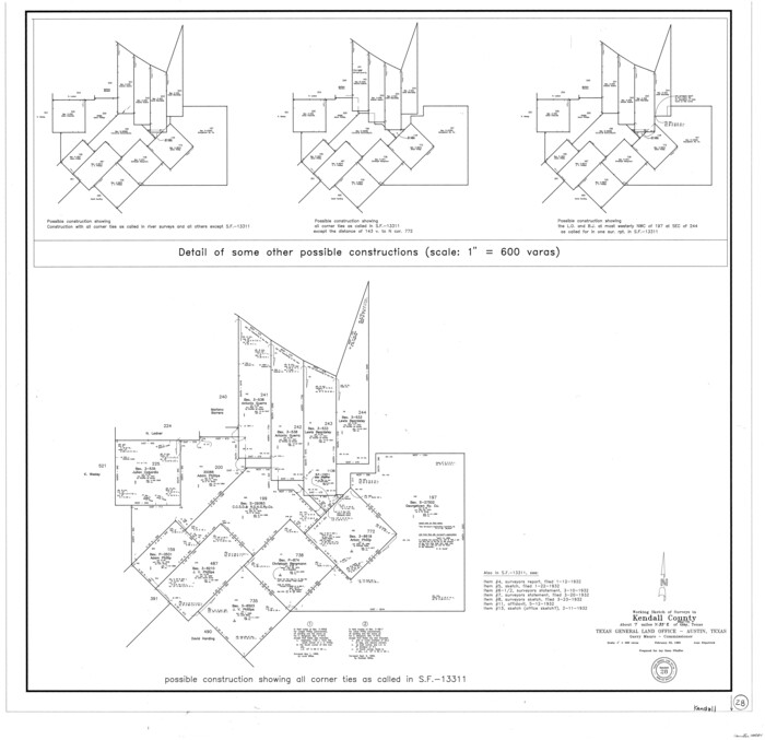
Kendall County Working Sketch 28
1995

Kendall County Rolled Sketch 8
1994

Kendall County Working Sketch 27
1994

Kendall County Working Sketch 27
1994

Kendall County Sketch File 29
1990

Kendall County Rolled Sketch 9
1990

Kendall County Working Sketch 26
1985
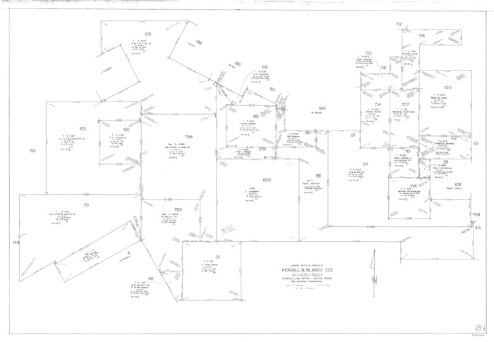
Kendall County Working Sketch 25
1978
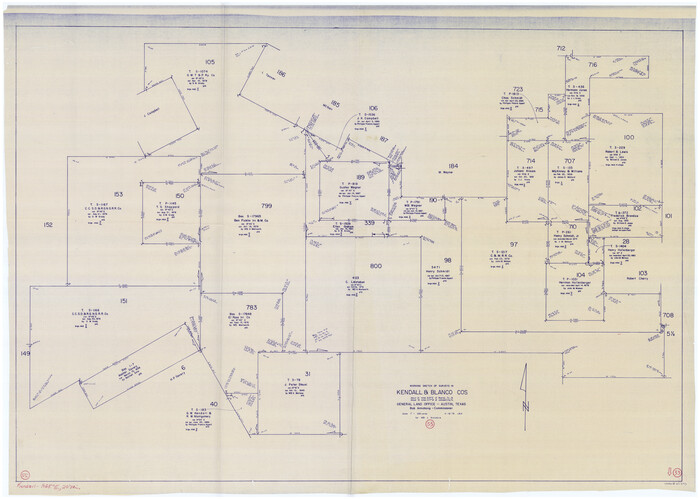
Blanco County Working Sketch 33
1978
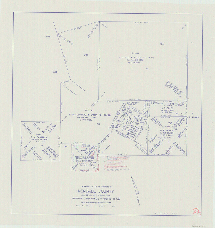
Kendall County Working Sketch 24
1977
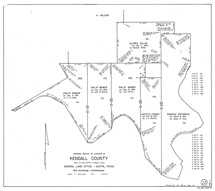
Kendall County Working Sketch 23
1974

Kendall County Working Sketch 22
1971

Kendall County Working Sketch 21
1970

Kendall County Working Sketch 20
1970
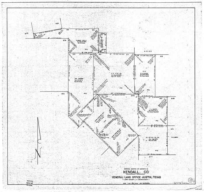
Kendall County Working Sketch 19
1970
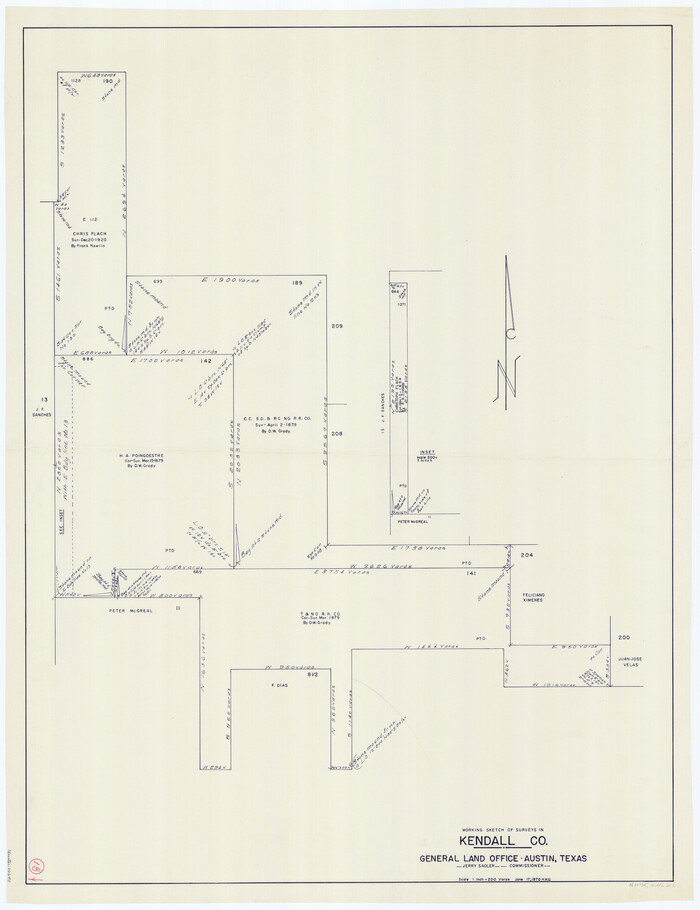
Kendall County Working Sketch 18
1970
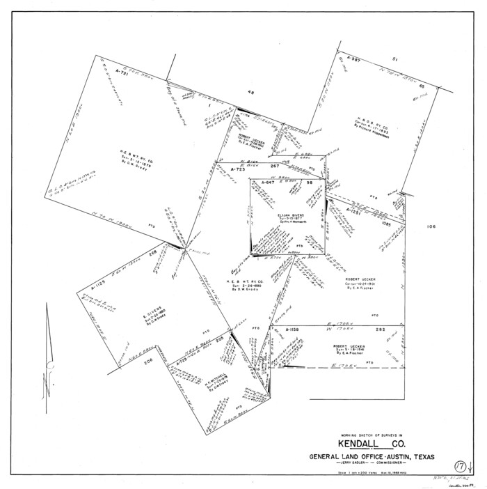
Kendall County Working Sketch 17
1968

Kendall County Working Sketch 16
1967

Kendall County Working Sketch 14
1967
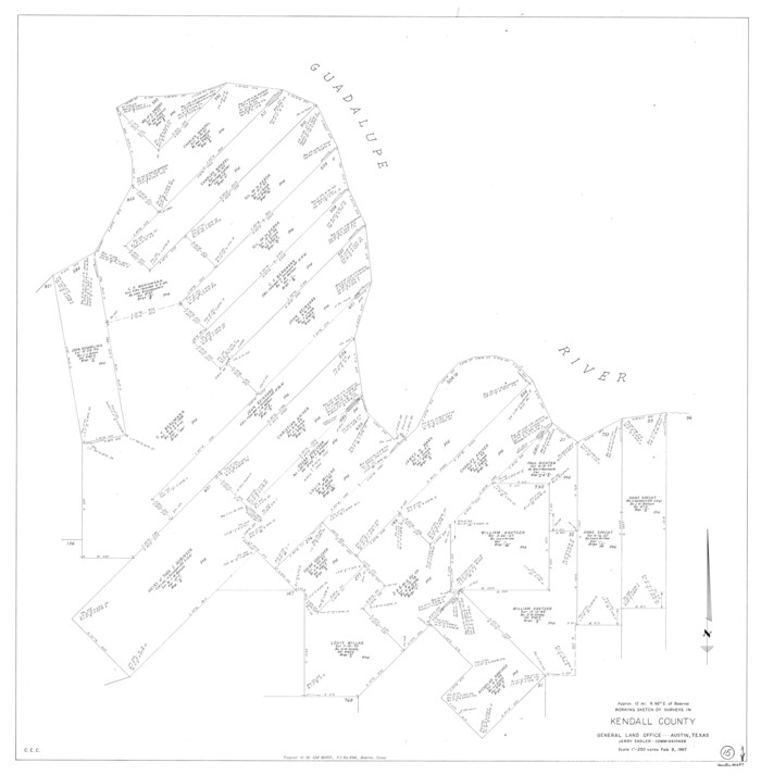
Kendall County Working Sketch 15
1967

Kendall County Working Sketch 12
1966
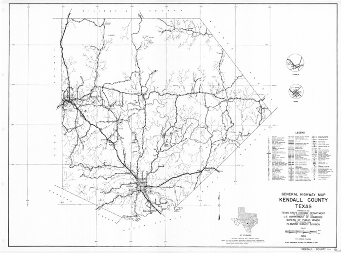
General Highway Map, Kendall County, Texas
1961

Kendall County Working Sketch 13
1959

Kendall County Working Sketch 11
1954

Kendall County Working Sketch 10
1954

Kendall County Sketch File 28
1953

Kendall County Working Sketch 29
2025
-
Map/Doc
97408
-
Creation Date
2025

Blanco County Rolled Sketch 23
2019
-
Size
24.1 x 35.7 inches
-
Map/Doc
97346
-
Creation Date
2019

Texas Hill Country Trail Region
2017
-
Size
18.2 x 24.3 inches
-
Map/Doc
96871
-
Creation Date
2017

Kendall County Working Sketch 28a
2006
-
Size
29.8 x 45.0 inches
-
Map/Doc
83097
-
Creation Date
2006

Kendall County Working Sketch 28
1995
-
Size
36.0 x 37.2 inches
-
Map/Doc
70001
-
Creation Date
1995

Kendall County Rolled Sketch 8
1994
-
Size
17.0 x 18.3 inches
-
Map/Doc
6461
-
Creation Date
1994

Kendall County Working Sketch 27
1994
-
Size
30.8 x 42.6 inches
-
Map/Doc
66699
-
Creation Date
1994

Kendall County Working Sketch 27
1994
-
Size
25.0 x 37.5 inches
-
Map/Doc
66700
-
Creation Date
1994

Kendall County Sketch File 29
1990
-
Size
14.0 x 8.5 inches
-
Map/Doc
95291
-
Creation Date
1990

Kendall County Rolled Sketch 9
1990
-
Size
32.8 x 24.3 inches
-
Map/Doc
95298
-
Creation Date
1990

Kendall County Working Sketch 26
1985
-
Size
42.5 x 36.0 inches
-
Map/Doc
66698
-
Creation Date
1985

Kendall County Working Sketch 25
1978
-
Size
39.4 x 56.8 inches
-
Map/Doc
66697
-
Creation Date
1978

Blanco County Working Sketch 33
1978
-
Size
41.0 x 57.5 inches
-
Map/Doc
67393
-
Creation Date
1978

Kendall County Working Sketch 24
1977
-
Size
27.6 x 26.1 inches
-
Map/Doc
66696
-
Creation Date
1977

Kendall County Working Sketch 23
1974
-
Size
21.7 x 24.5 inches
-
Map/Doc
66695
-
Creation Date
1974

Kendall County Working Sketch 22
1971
-
Size
41.6 x 34.7 inches
-
Map/Doc
66694
-
Creation Date
1971

Kendall County Working Sketch 21
1970
-
Size
44.7 x 23.8 inches
-
Map/Doc
66693
-
Creation Date
1970

Kendall County Working Sketch 20
1970
-
Size
37.7 x 44.8 inches
-
Map/Doc
66692
-
Creation Date
1970

Kendall County Working Sketch 19
1970
-
Size
31.5 x 33.4 inches
-
Map/Doc
66691
-
Creation Date
1970

Kendall County Working Sketch 18
1970
-
Size
43.2 x 33.3 inches
-
Map/Doc
66690
-
Creation Date
1970

Kendall County Working Sketch 17
1968
-
Size
31.0 x 30.9 inches
-
Map/Doc
66689
-
Creation Date
1968

Kendall County Working Sketch 16
1967
-
Size
28.0 x 29.1 inches
-
Map/Doc
66688
-
Creation Date
1967

Kendall County Working Sketch 14
1967
-
Size
37.6 x 33.1 inches
-
Map/Doc
66686
-
Creation Date
1967

Kendall County Working Sketch 15
1967
-
Size
41.4 x 40.7 inches
-
Map/Doc
66687
-
Creation Date
1967

Kendall County Working Sketch 12
1966
-
Size
27.2 x 33.2 inches
-
Map/Doc
66684
-
Creation Date
1966

General Highway Map, Kendall County, Texas
1961
-
Size
18.3 x 24.6 inches
-
Map/Doc
79549
-
Creation Date
1961

Kendall County Working Sketch 13
1959
-
Size
25.5 x 30.5 inches
-
Map/Doc
66685
-
Creation Date
1959

Kendall County Working Sketch 11
1954
-
Size
34.0 x 24.8 inches
-
Map/Doc
66683
-
Creation Date
1954

Kendall County Working Sketch 10
1954
-
Size
21.2 x 24.9 inches
-
Map/Doc
66682
-
Creation Date
1954

Kendall County Sketch File 28
1953
-
Size
14.3 x 8.9 inches
-
Map/Doc
28733
-
Creation Date
1953