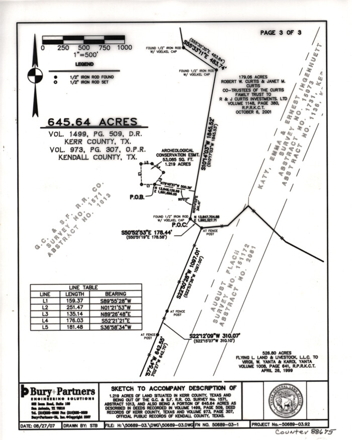
Kerr County State Real Property Sketch 2
2007
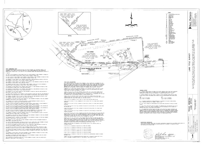
Kerr County State Real Property Sketch 1
2007
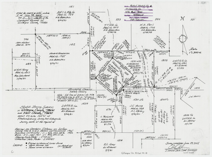
Gillespie County Rolled Sketch 6
2005

Kerr County Working Sketch 37
1995

Kerr County Working Sketch 36
1991
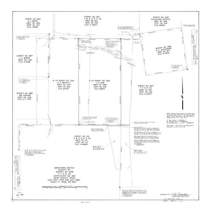
Kerr County Rolled Sketch 27
1983

Kerr County Working Sketch 35
1981
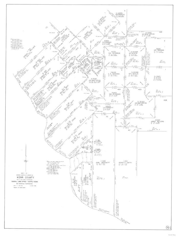
Kerr County Working Sketch 34
1980

Bandera County Working Sketch 41
1977
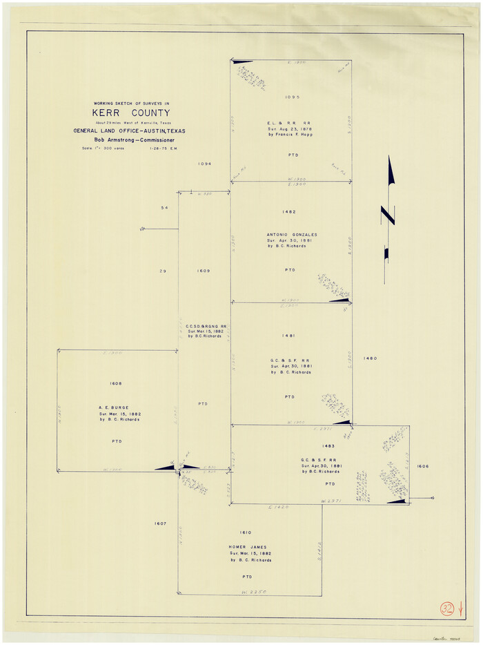
Kerr County Working Sketch 32
1975
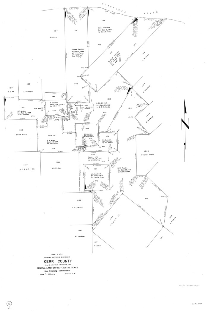
Kerr County Working Sketch 31
1973

Kerr County Working Sketch 30
1973
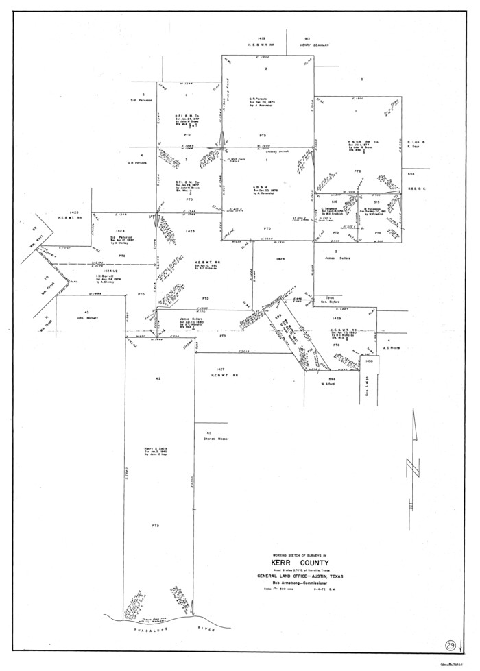
Kerr County Working Sketch 29
1972

Gillespie County Working Sketch 5
1972
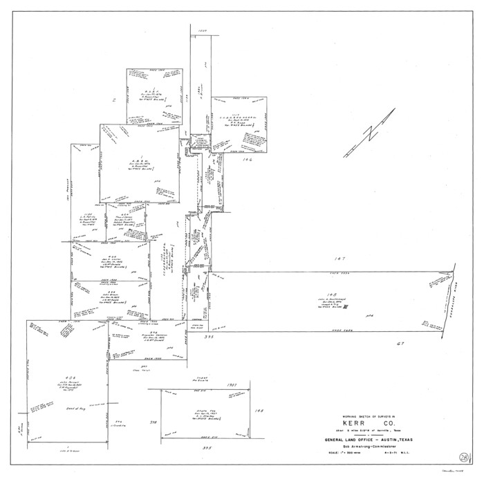
Kerr County Working Sketch 28
1971
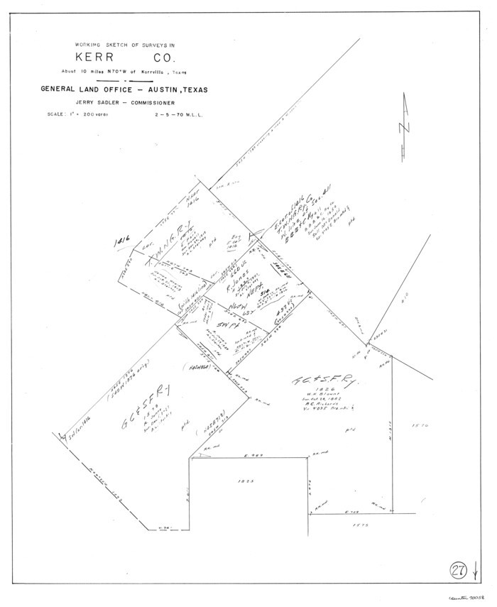
Kerr County Working Sketch 27
1970
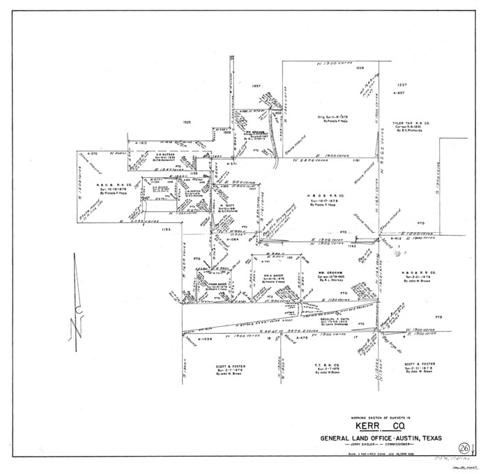
Kerr County Working Sketch 26
1969
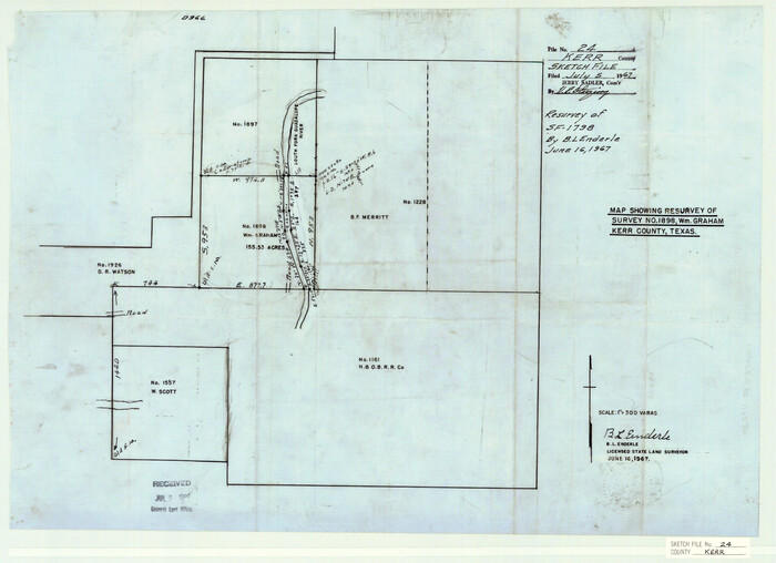
Kerr County Sketch File 24
1967
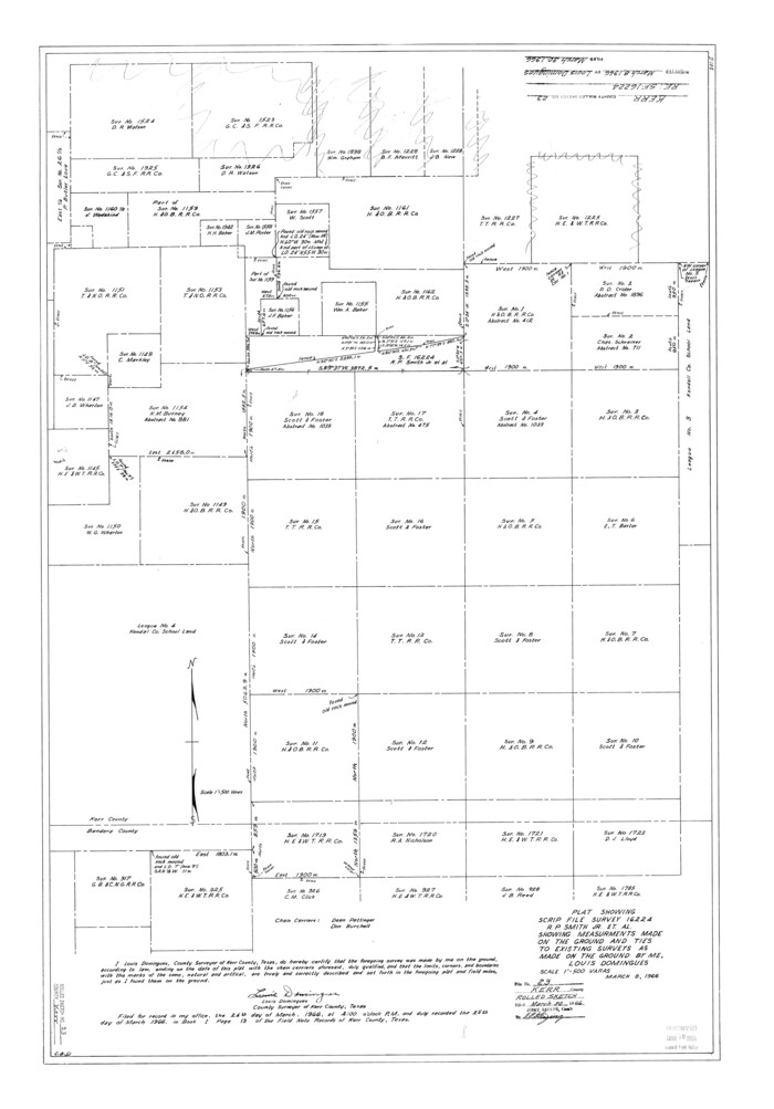
Kerr County Rolled Sketch 23
1966

Kimble County Working Sketch 74
1966
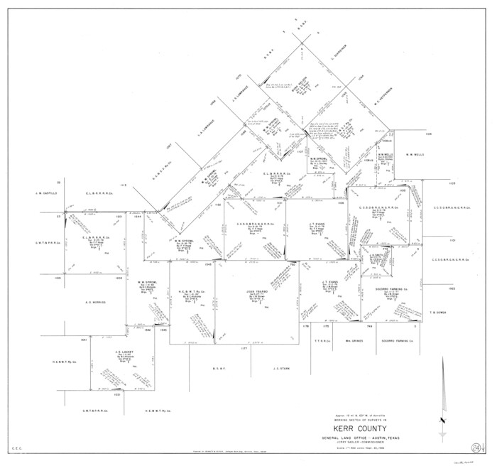
Kerr County Working Sketch 24
1966
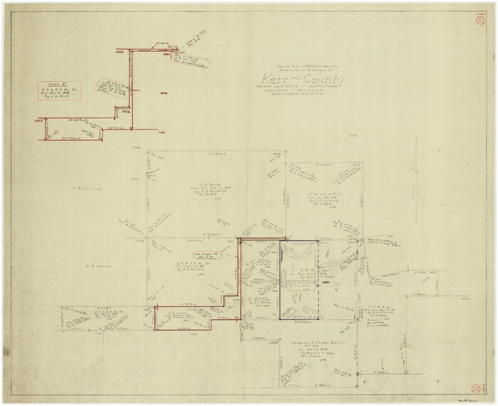
Kerr County Working Sketch 23
1966
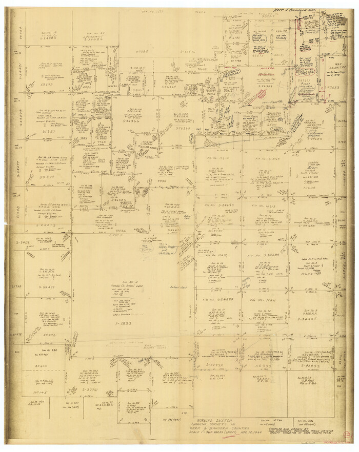
Kerr County Working Sketch 22
1965

General Highway Map, Kerr County, Texas
1961

General Highway Map, Kerr County, Texas
1961
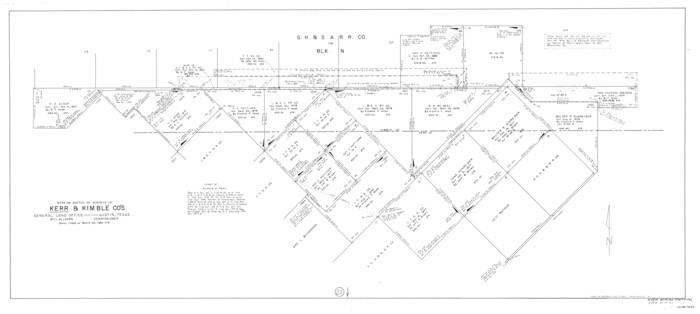
Kerr County Working Sketch 21
1960
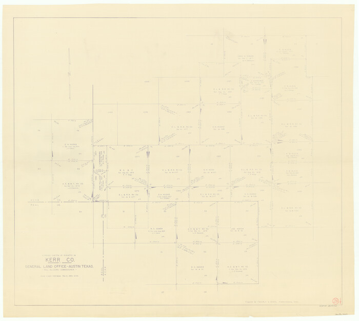
Kerr County Working Sketch 20
1960
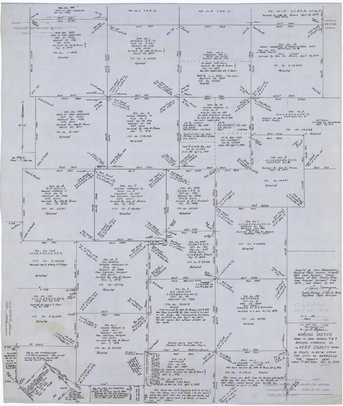
Kerr County Rolled Sketch 22
1959
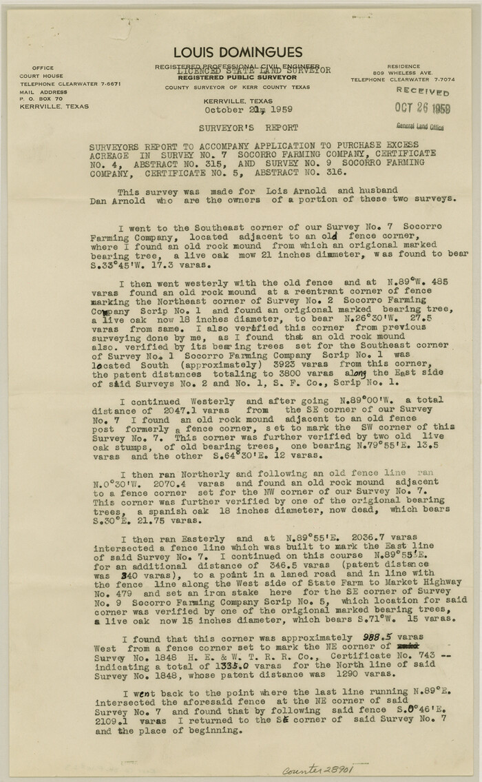
Kerr County Sketch File 23
1959

Texas Hill Country Trail Region
2017
-
Size
18.2 x 24.3 inches
-
Map/Doc
96871
-
Creation Date
2017

Kerr County State Real Property Sketch 2
2007
-
Size
10.7 x 8.6 inches
-
Map/Doc
88675
-
Creation Date
2007

Kerr County State Real Property Sketch 1
2007
-
Size
24.9 x 35.1 inches
-
Map/Doc
88669
-
Creation Date
2007

Gillespie County Rolled Sketch 6
2005
-
Size
18.2 x 24.6 inches
-
Map/Doc
83253
-
Creation Date
2005

Kerr County Working Sketch 37
1995
-
Size
19.0 x 24.0 inches
-
Map/Doc
70068
-
Creation Date
1995

Kerr County Working Sketch 36
1991
-
Size
32.8 x 35.8 inches
-
Map/Doc
70067
-
Creation Date
1991

Kerr County Rolled Sketch 27
1983
-
Size
33.1 x 33.5 inches
-
Map/Doc
6506
-
Creation Date
1983

Kerr County Working Sketch 35
1981
-
Size
35.2 x 15.5 inches
-
Map/Doc
70066
-
Creation Date
1981

Kerr County Working Sketch 34
1980
-
Size
51.6 x 38.9 inches
-
Map/Doc
70065
-
Creation Date
1980

Bandera County Working Sketch 41
1977
-
Size
31.3 x 37.7 inches
-
Map/Doc
67637
-
Creation Date
1977

Kerr County Working Sketch 32
1975
-
Size
33.8 x 25.3 inches
-
Map/Doc
70063
-
Creation Date
1975

Kerr County Working Sketch 31
1973
-
Size
43.6 x 29.0 inches
-
Map/Doc
70062
-
Creation Date
1973

Kerr County Working Sketch 30
1973
-
Size
29.8 x 28.9 inches
-
Map/Doc
70061
-
Creation Date
1973

Kerr County Working Sketch 29
1972
-
Size
46.3 x 33.1 inches
-
Map/Doc
70060
-
Creation Date
1972

Gillespie County Working Sketch 5
1972
-
Size
25.7 x 25.9 inches
-
Map/Doc
63168
-
Creation Date
1972

Kerr County Working Sketch 28
1971
-
Size
38.5 x 39.1 inches
-
Map/Doc
70059
-
Creation Date
1971

Kerr County Working Sketch 27
1970
-
Size
25.4 x 20.8 inches
-
Map/Doc
70058
-
Creation Date
1970

Kerr County Working Sketch 26
1969
-
Size
31.2 x 32.1 inches
-
Map/Doc
70057
-
Creation Date
1969

Kerr County Sketch File 24
1967
-
Size
15.7 x 21.6 inches
-
Map/Doc
11923
-
Creation Date
1967

Kerr County Rolled Sketch 23
1966
-
Size
39.3 x 27.5 inches
-
Map/Doc
6503
-
Creation Date
1966

Kimble County Working Sketch 74
1966
-
Size
43.1 x 34.2 inches
-
Map/Doc
70142
-
Creation Date
1966

Kerr County Working Sketch 24
1966
-
Size
35.9 x 38.3 inches
-
Map/Doc
70055
-
Creation Date
1966

Kerr County Working Sketch 23
1966
-
Size
33.4 x 41.0 inches
-
Map/Doc
70054
-
Creation Date
1966

Kerr County Working Sketch 22
1965
-
Size
50.9 x 40.4 inches
-
Map/Doc
70053
-
Creation Date
1965

General Highway Map, Kerr County, Texas
1961
-
Size
24.8 x 18.2 inches
-
Map/Doc
79551
-
Creation Date
1961

General Highway Map, Kerr County, Texas
1961
-
Size
24.6 x 18.2 inches
-
Map/Doc
79552
-
Creation Date
1961

Kerr County Working Sketch 21
1960
-
Size
24.4 x 54.5 inches
-
Map/Doc
70052
-
Creation Date
1960

Kerr County Working Sketch 20
1960
-
Size
37.1 x 41.5 inches
-
Map/Doc
70051
-
Creation Date
1960

Kerr County Rolled Sketch 22
1959
-
Size
35.7 x 30.2 inches
-
Map/Doc
9349
-
Creation Date
1959

Kerr County Sketch File 23
1959
-
Size
14.2 x 8.8 inches
-
Map/Doc
28901
-
Creation Date
1959