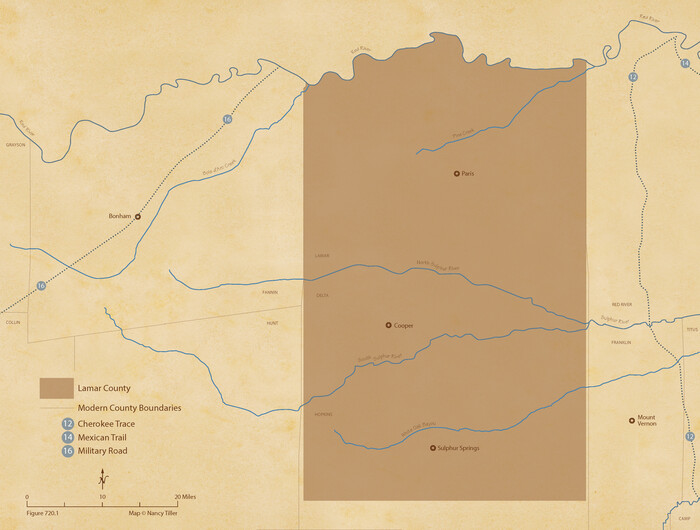
The Republic County of Lamar. Created, December 17, 1840
2020
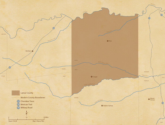
The Republic County of Lamar. January 28, 1841
2020
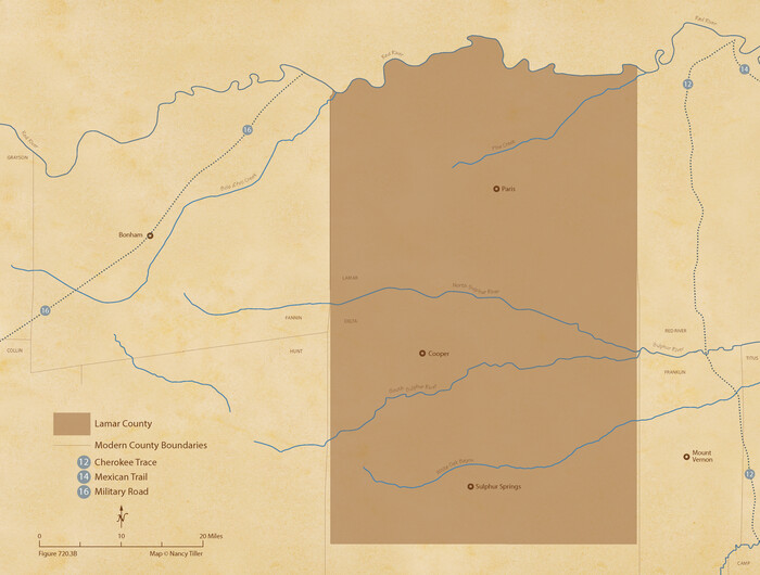
The Republic County of Lamar. Spring 1842
2020

The Republic County of Lamar. December 26, 1842
2020

The Republic County of Lamar. January 3, 1844
2020
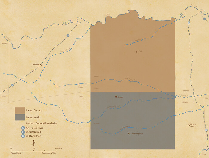
The Republic County of Lamar. December 29, 1845
2020

Lamar County State Real Property Sketch 1
2013

Lamar County State Real Property Sketch 1
2013

Lamar County State Real Property Sketch 1
2013
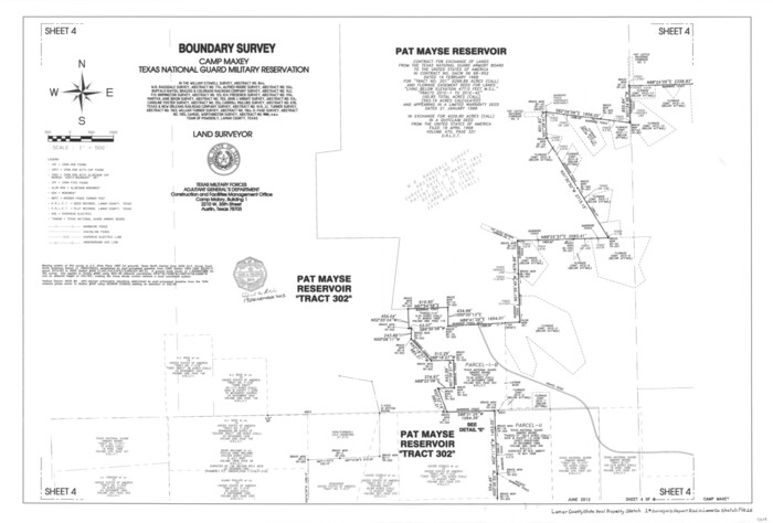
Lamar County State Real Property Sketch 1
2013

Lamar County State Real Property Sketch 1
2013
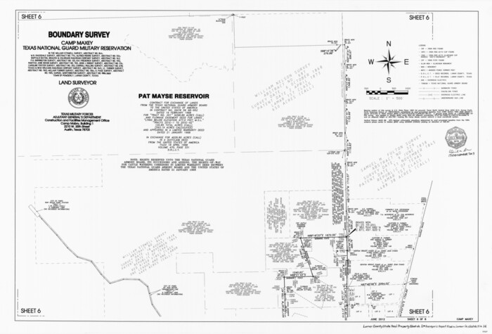
Lamar County State Real Property Sketch 1
2013
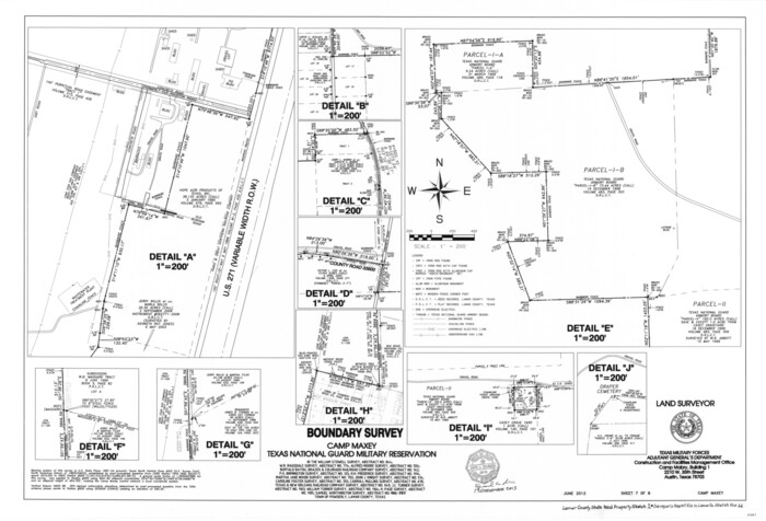
Lamar County State Real Property Sketch 1
2013
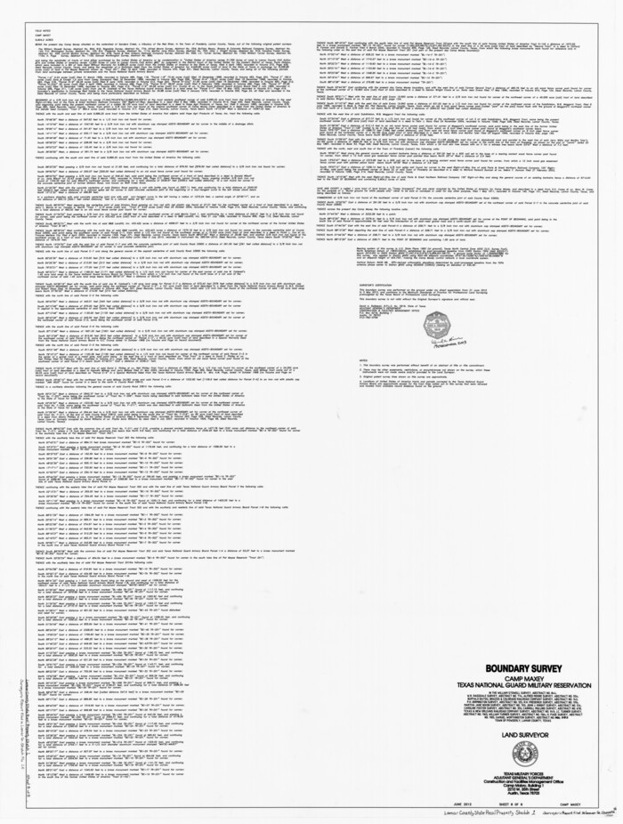
Lamar County State Real Property Sketch 1
2013

Lamar County Sketch File 16
2013
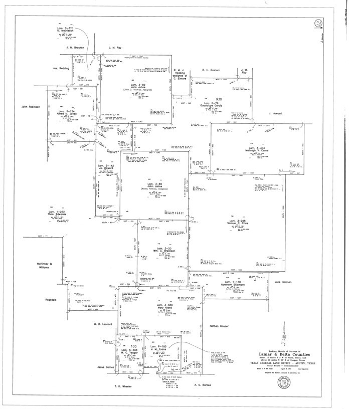
Lamar County Working Sketch 12
1994
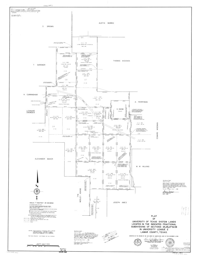
Lamar County Rolled Sketch 1
1989
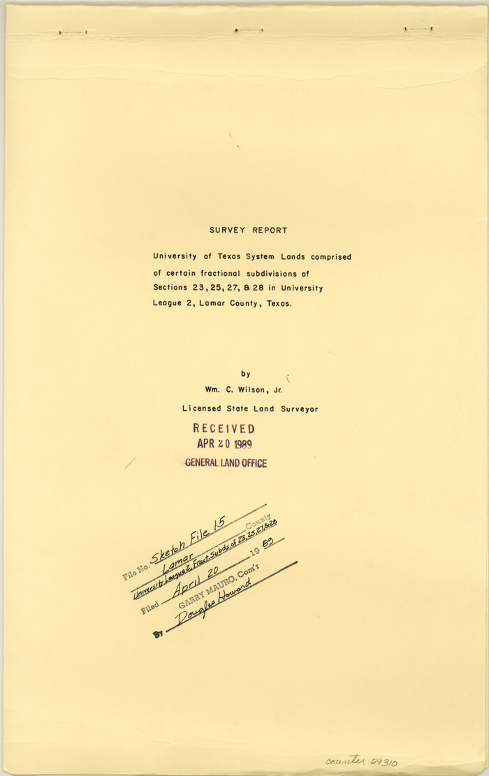
Lamar County Sketch File 15
1989

Lamar County Working Sketch 11
1980

Lamar County Working Sketch 10
1980
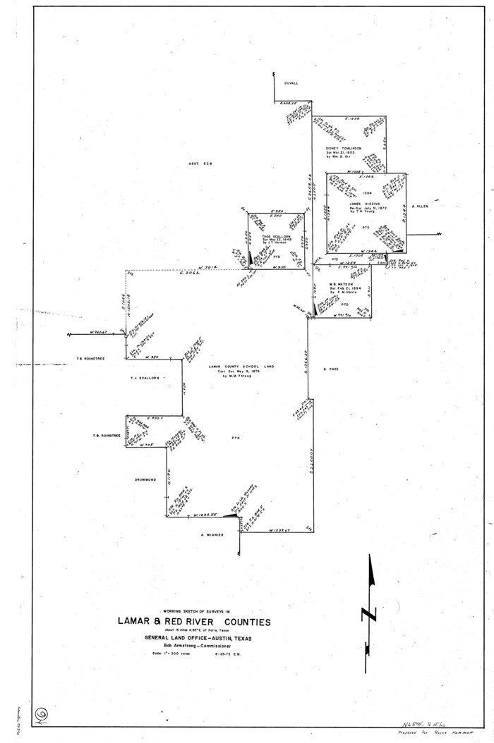
Lamar County Working Sketch 9
1975
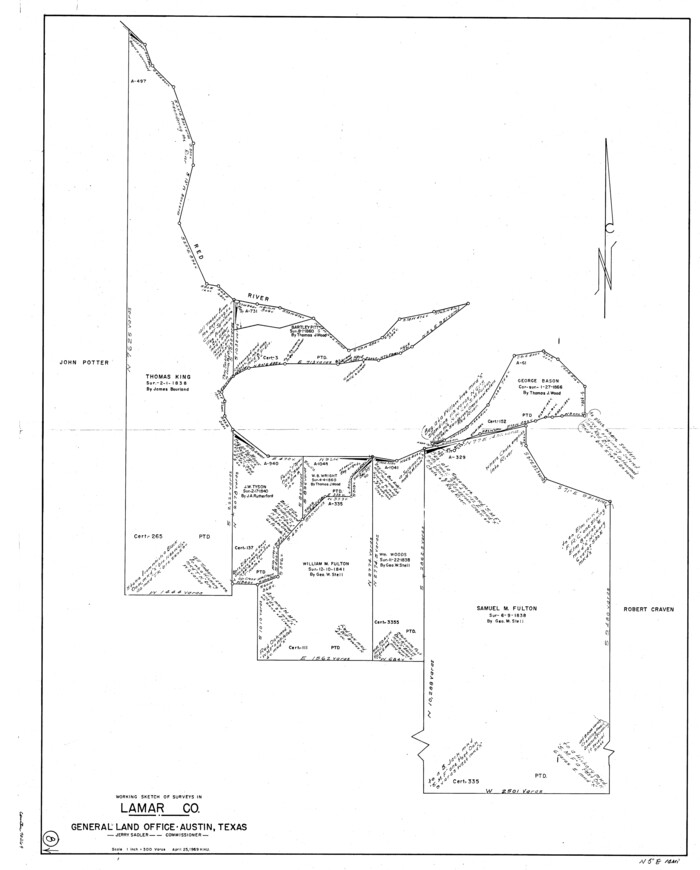
Lamar County Working Sketch 8
1969

Lamar County Working Sketch 7
1964

Lamar County Working Sketch 6
1964
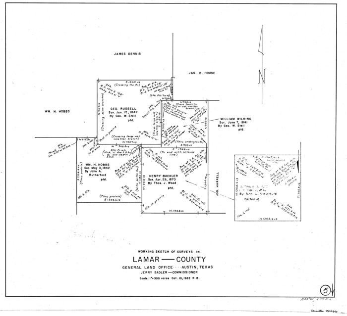
Lamar County Working Sketch 5
1962

General Highway Map, Lamar County, Texas
1961

Fannin County Working Sketch 7
1952

Lamar County Sketch File 13
1943

General Highway Map, Lamar County, Texas
1940

The Republic County of Lamar. Created, December 17, 1840
2020
-
Size
16.4 x 21.7 inches
-
Map/Doc
96202
-
Creation Date
2020

The Republic County of Lamar. January 28, 1841
2020
-
Size
16.4 x 21.7 inches
-
Map/Doc
96203
-
Creation Date
2020

The Republic County of Lamar. Spring 1842
2020
-
Size
16.4 x 21.7 inches
-
Map/Doc
96204
-
Creation Date
2020

The Republic County of Lamar. December 26, 1842
2020
-
Size
16.4 x 21.7 inches
-
Map/Doc
96205
-
Creation Date
2020

The Republic County of Lamar. January 3, 1844
2020
-
Size
16.4 x 21.7 inches
-
Map/Doc
96206
-
Creation Date
2020

The Republic County of Lamar. December 29, 1845
2020
-
Size
16.4 x 21.7 inches
-
Map/Doc
96207
-
Creation Date
2020

Lamar County State Real Property Sketch 1
2013
-
Size
48.0 x 36.0 inches
-
Map/Doc
93655
-
Creation Date
2013

Lamar County State Real Property Sketch 1
2013
-
Size
24.0 x 36.0 inches
-
Map/Doc
93656
-
Creation Date
2013

Lamar County State Real Property Sketch 1
2013
-
Size
24.0 x 36.0 inches
-
Map/Doc
93657
-
Creation Date
2013

Lamar County State Real Property Sketch 1
2013
-
Size
24.0 x 36.0 inches
-
Map/Doc
93658
-
Creation Date
2013

Lamar County State Real Property Sketch 1
2013
-
Size
24.0 x 36.0 inches
-
Map/Doc
93659
-
Creation Date
2013

Lamar County State Real Property Sketch 1
2013
-
Size
24.0 x 36.0 inches
-
Map/Doc
93660
-
Creation Date
2013

Lamar County State Real Property Sketch 1
2013
-
Size
24.0 x 36.0 inches
-
Map/Doc
93661
-
Creation Date
2013

Lamar County State Real Property Sketch 1
2013
-
Size
48.0 x 36.0 inches
-
Map/Doc
93662
-
Creation Date
2013

Lamar County Sketch File 16
2013
-
Size
11.0 x 8.5 inches
-
Map/Doc
93654
-
Creation Date
2013

Lamar County Working Sketch 12
1994
-
Size
40.3 x 34.4 inches
-
Map/Doc
70273
-
Creation Date
1994

Lamar County Rolled Sketch 1
1989
-
Size
50.3 x 39.1 inches
-
Map/Doc
9553
-
Creation Date
1989

Lamar County Sketch File 15
1989
-
Size
14.5 x 9.1 inches
-
Map/Doc
29310
-
Creation Date
1989

Lamar County Working Sketch 11
1980
-
Size
19.8 x 16.9 inches
-
Map/Doc
70272
-
Creation Date
1980

Lamar County Working Sketch 10
1980
-
Size
18.6 x 15.4 inches
-
Map/Doc
70271
-
Creation Date
1980

Lamar County Working Sketch 9
1975
-
Size
42.1 x 27.9 inches
-
Map/Doc
70270
-
Creation Date
1975

Lamar County Working Sketch 8
1969
-
Size
39.3 x 31.6 inches
-
Map/Doc
70269
-
Creation Date
1969

Lamar County Working Sketch 7
1964
-
Size
18.7 x 17.6 inches
-
Map/Doc
70268
-
Creation Date
1964

Lamar County Working Sketch 6
1964
-
Size
37.7 x 26.1 inches
-
Map/Doc
70267
-
Creation Date
1964

Lamar County Working Sketch 5
1962
-
Size
21.5 x 23.6 inches
-
Map/Doc
70266
-
Creation Date
1962

General Highway Map, Lamar County, Texas
1961
-
Size
24.6 x 18.2 inches
-
Map/Doc
79561
-
Creation Date
1961

Fannin County Working Sketch 7
1952
-
Size
25.4 x 28.5 inches
-
Map/Doc
69161
-
Creation Date
1952

Lamar County Sketch File 13
1943
-
Size
10.9 x 8.0 inches
-
Map/Doc
29307
-
Creation Date
1943

General Highway Map, Lamar County, Texas
1940
-
Size
24.8 x 18.5 inches
-
Map/Doc
79167
-
Creation Date
1940
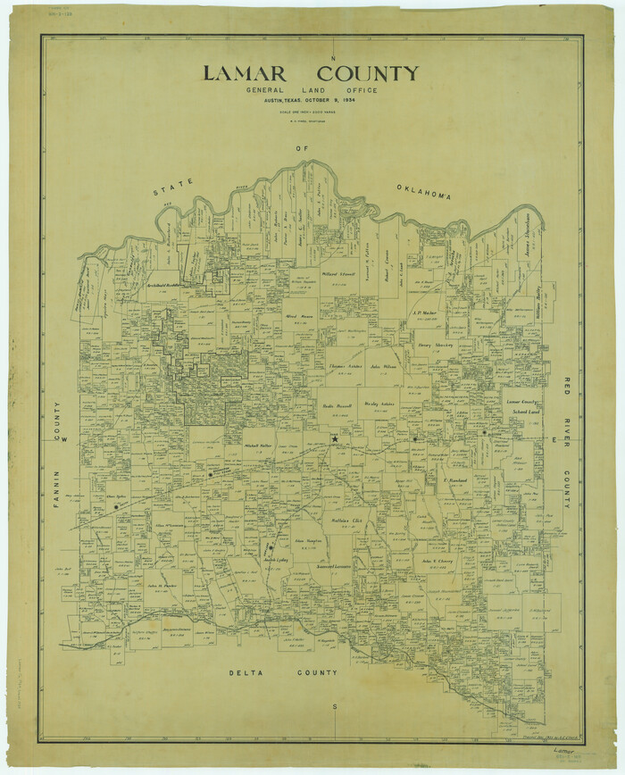
Lamar County
1934
-
Size
50.2 x 40.5 inches
-
Map/Doc
1880
-
Creation Date
1934