116 results

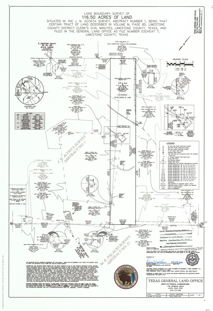
Limestone County State Real Property Sketch 1
89570.tif
Print $20.00 - Digital $50.00

Limestone County State Real Property Sketch 1

2010
Size: 35.9 x 24.6 inches
89570
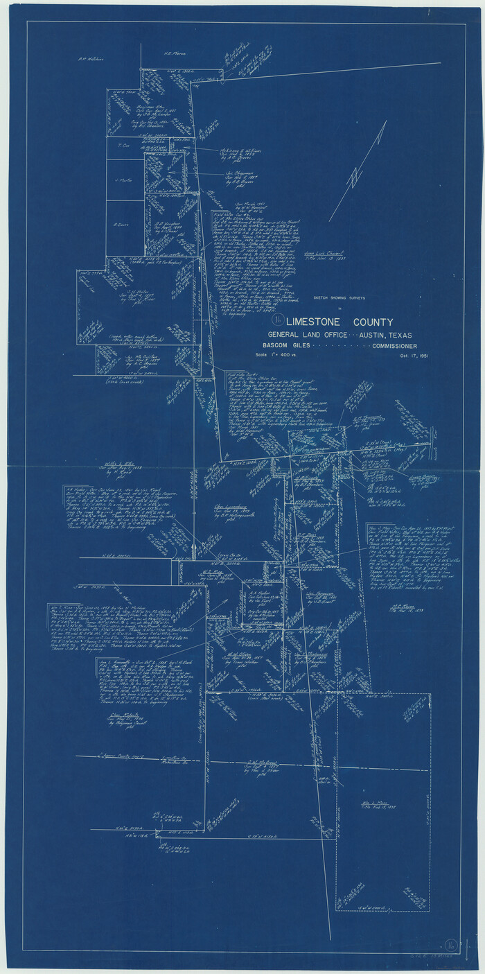
Limestone County Working Sketch 27
88767.tif
Print $20.00 - Digital $50.00

Limestone County Working Sketch 27

2008

Size: 34.4 x 35.6 inches
88767
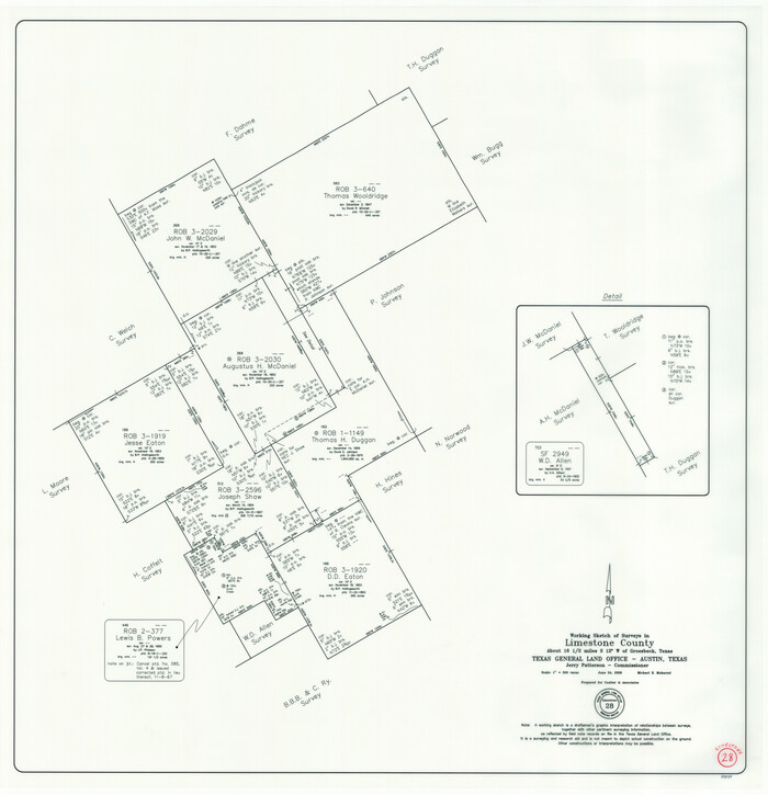
Limestone County Working Sketch 28
88848-1.tif
Print $5.00 - Digital $50.00

Limestone County Working Sketch 28

2008
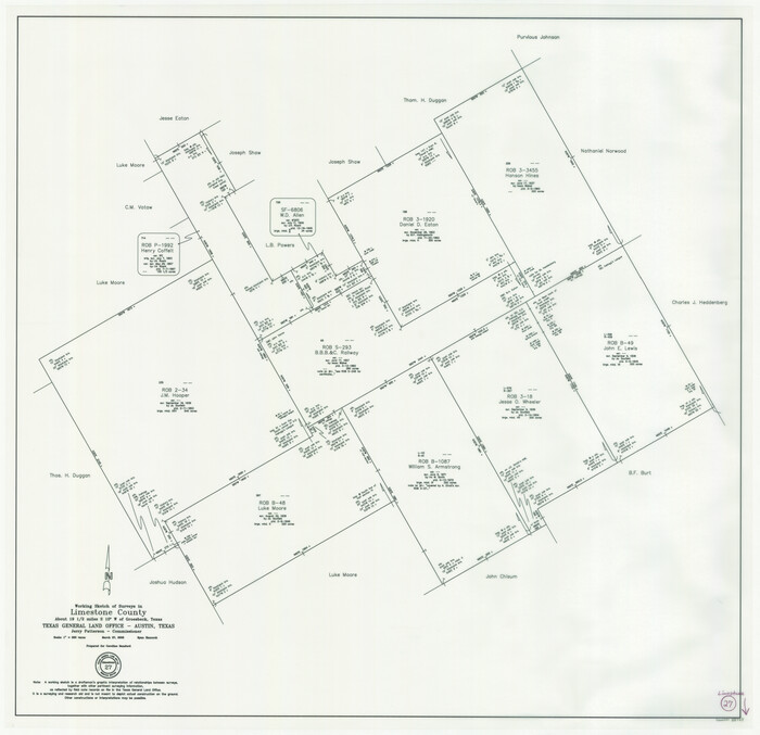
Size: 30.2 x 29.1 inches
88848
Limestone County Sketch File 28
30216, Limestone County Sketch File 28, General Map Collection
Print $54.00 - Digital $50.00

Limestone County Sketch File 28

1986

Size: 11.2 x 8.5 inches
30216
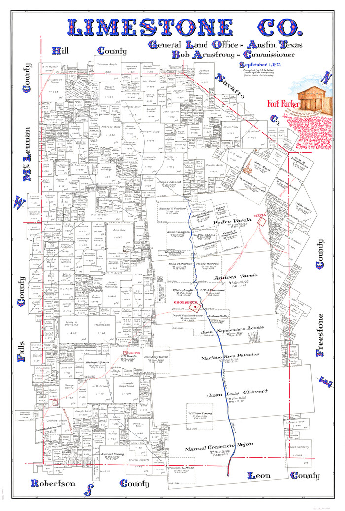
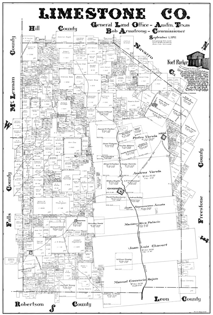
Limestone Co.
73221.tif
Print $40.00 - Digital $50.00

Limestone Co.

1971

Size: 48.3 x 33.4 inches
73221
Limestone County Working Sketch Graphic Index
76621.tif
Print $20.00 - Digital $50.00

Limestone County Working Sketch Graphic Index

1971

Size: 47.8 x 32.9 inches
76621
Limestone Co.
77354.tif
Print $20.00 - Digital $50.00

Limestone Co.

1971

Size: 40.6 x 27.5 inches
77354
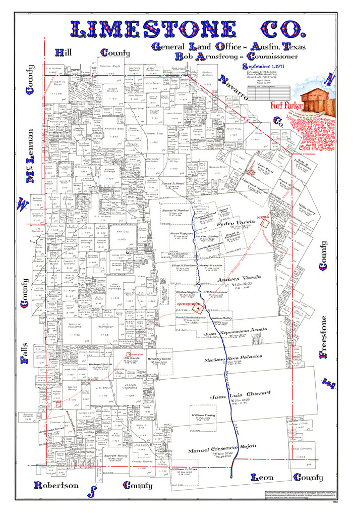
Limestone Co.
95571.tif
Print $40.00 - Digital $50.00

Limestone Co.

1971

Size: 49.9 x 34.5 inches
95571
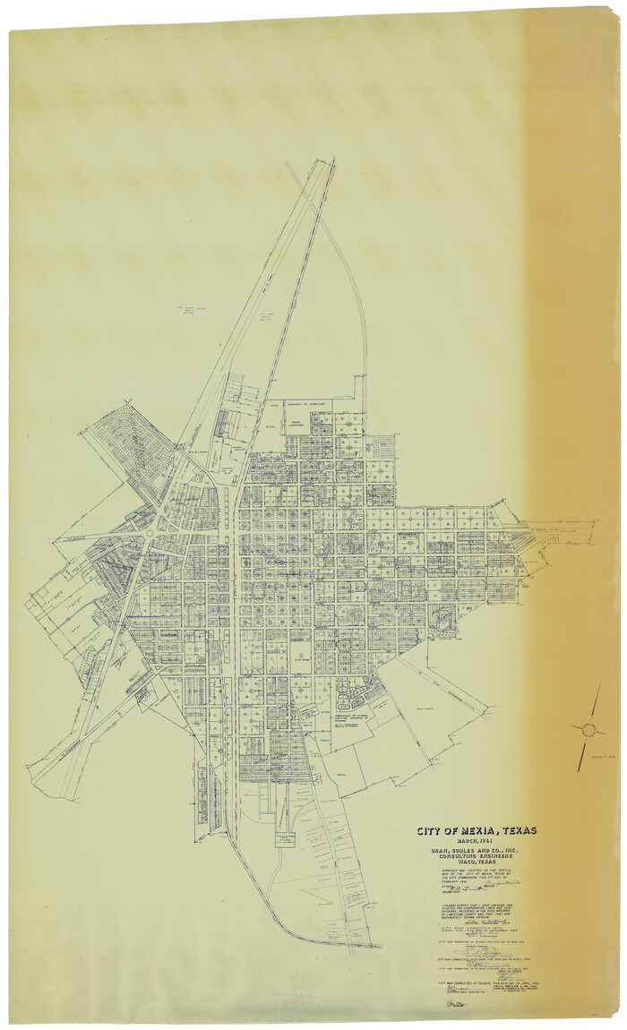
City of Mexia, Texas
93671.tif
Print $40.00 - Digital $50.00

City of Mexia, Texas

1961

Size: 71.2 x 43.3 inches
93671
General Highway Map, Limestone County, Texas
79572.tif
Print $20.00

General Highway Map, Limestone County, Texas

1961

Size: 18.1 x 24.8 inches
79572
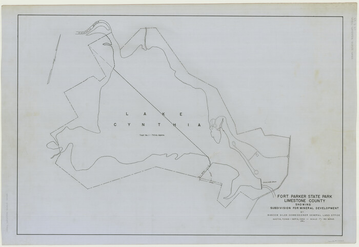
Fort Parker State Park
73569.tif
Print $20.00 - Digital $50.00

Fort Parker State Park

1950

Size: 26.0 x 37.8 inches
73569
Limestone County Sketch File 24
30206, Limestone County Sketch File 24, General Map Collection
Print $8.00 - Digital $50.00

Limestone County Sketch File 24

1942

Size: 11.2 x 8.8 inches
30206
General Highway Map, Limestone County, Texas
79174.tif
Print $20.00

General Highway Map, Limestone County, Texas

1940

Size: 18.3 x 24.9 inches
79174
Wayland Crossing Sheet Robertson, Limestone and Leon Counties, Navasota River
65072.tif
Print $20.00 - Digital $50.00

Wayland Crossing Sheet Robertson, Limestone and Leon Counties, Navasota River

1934

Size: 43.9 x 40.9 inches
65072
Navasota River, Long Bridge Crossing Sheet
65073.tif
Print $20.00 - Digital $50.00

Navasota River, Long Bridge Crossing Sheet

1934

Size: 43.1 x 36.6 inches
65073
Navasota River, Springfield Sheet
65074.tif
Print $20.00 - Digital $50.00

Navasota River, Springfield Sheet

1934

Size: 41.5 x 37.8 inches
65074
Limestone County
16880-GC.tif
Print $40.00 - Digital $50.00

Limestone County

1922

Size: 48.1 x 35.4 inches
16880
Limestone County
73342.tif
Print $40.00 - Digital $50.00

Limestone County

1922

Size: 50.6 x 36.2 inches
73342
Limestone County, 1922
89704.tif
Print $40.00 - Digital $50.00

Limestone County, 1922

1922

Size: 36.4 x 50.1 inches
89704
[George Gentry, Charles Welch, and Surrounding Surveys]
91082-1.tif
Print $20.00 - Digital $50.00

[George Gentry, Charles Welch, and Surrounding Surveys]

1922

Size: 28.6 x 32.0 inches
91082
Limestone County Sketch File 20
30195, Limestone County Sketch File 20, General Map Collection
Print $44.00 - Digital $50.00

Limestone County Sketch File 20

1922

Size: 11.2 x 8.5 inches
30195
[John W. Carpenter and Surrounding Surveys]
91085-1.tif
Print $20.00 - Digital $50.00

[John W. Carpenter and Surrounding Surveys]

1922

Size: 17.7 x 29.6 inches
91085
Limestone County Sketch File 19
30193, Limestone County Sketch File 19, General Map Collection
Print $4.00 - Digital $50.00

Limestone County Sketch File 19

1922

Size: 11.0 x 8.7 inches
30193
Limestone County Sketch File 21
30199, Limestone County Sketch File 21, General Map Collection
Print $40.00 - Digital $50.00

Limestone County Sketch File 21

1922

Size: 17.0 x 12.3 inches
30199
[Jesse Folk and Surrounding Surveys]
91087-1.tif
Print $20.00 - Digital $50.00

[Jesse Folk and Surrounding Surveys]

1922

Size: 21.8 x 33.7 inches
91087
Working Sketch in Falls and Limestone Counties
91088-1.tif
Print $20.00 - Digital $50.00

Working Sketch in Falls and Limestone Counties

1922

Size: 15.9 x 34.8 inches
91088
Thornton, Texas
92143-1.tif
Print $20.00 - Digital $50.00

Thornton, Texas

1922

Size: 30.0 x 32.6 inches
92143
Map Showing Survey of Navasota River Bed in Limestone County Texas Located North of Houston and Texas Central Railroad Bridge
65347.tif
Print $40.00 - Digital $50.00

Map Showing Survey of Navasota River Bed in Limestone County Texas Located North of Houston and Texas Central Railroad Bridge

1921

Size: 68.0 x 42.5 inches
65347
Map Showing Survey of Navasota River Bed in Limestone County Texas Located North of Houston and Texas Central Railroad Bridge
65348.tif
Print $20.00 - Digital $50.00

Map Showing Survey of Navasota River Bed in Limestone County Texas Located North of Houston and Texas Central Railroad Bridge

1921

Size: 45.8 x 38.5 inches
65348
Limestone County Rolled Sketch 4
9573.tif
Print $20.00 - Digital $50.00

Limestone County Rolled Sketch 4

1921

Size: 35.1 x 35.1 inches
9573
Limestone County State Real Property Sketch 1
89570, Limestone County State Real Property Sketch 1, General Map Collection
Print $20.00 - Digital $50.00

Limestone County State Real Property Sketch 1

2010

  • Size

    35.9 x 24.6 inches

  • Map/Doc

    89570

  • Creation Date

    2010

Limestone County Working Sketch 27
88767, Limestone County Working Sketch 27, General Map Collection
Print $20.00 - Digital $50.00

Limestone County Working Sketch 27

2008
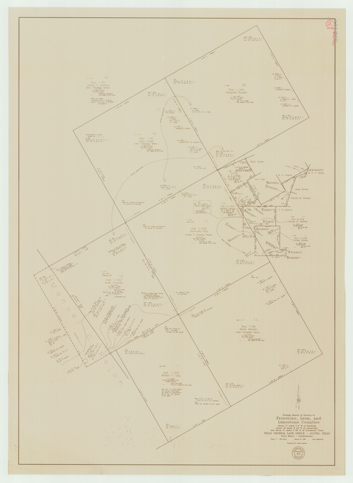
  • Size

    34.4 x 35.6 inches

  • Map/Doc

    88767

  • Creation Date

    2008

Limestone County Working Sketch 28
88848, Limestone County Working Sketch 28, General Map Collection
Print $5.00 - Digital $50.00

Limestone County Working Sketch 28

2008

  • Size

    30.2 x 29.1 inches

  • Map/Doc

    88848

  • Creation Date

    2008

Limestone County Sketch File 28
30216, Limestone County Sketch File 28, General Map Collection
Print $54.00 - Digital $50.00

Limestone County Sketch File 28

1986

  • Size

    11.2 x 8.5 inches

  • Map/Doc

    30216

  • Creation Date

    1986

Limestone Co.
73221, Limestone Co., General Map Collection
Print $40.00 - Digital $50.00

Limestone Co.

1971

  • Size

    48.3 x 33.4 inches

  • Map/Doc

    73221

  • Creation Date

    1971

Limestone County Working Sketch Graphic Index
76621, Limestone County Working Sketch Graphic Index, General Map Collection
Print $20.00 - Digital $50.00

Limestone County Working Sketch Graphic Index

1971
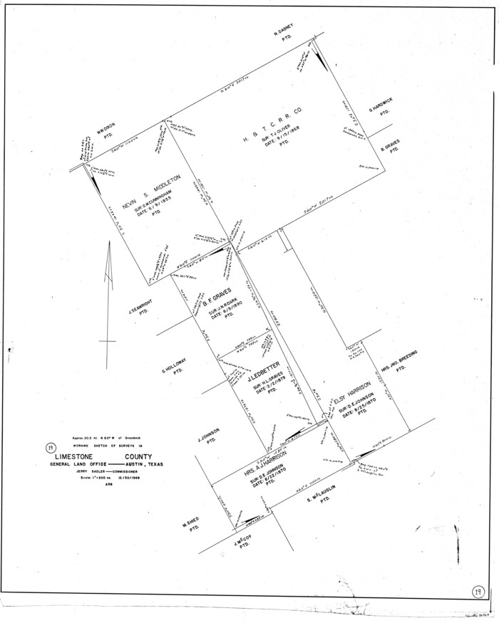
  • Size

    47.8 x 32.9 inches

  • Map/Doc

    76621

  • Creation Date

    1971

Limestone Co.
77354, Limestone Co., General Map Collection
Print $20.00 - Digital $50.00

Limestone Co.

1971

  • Size

    40.6 x 27.5 inches

  • Map/Doc

    77354

  • Creation Date

    1971

Limestone Co.
95571, Limestone Co., General Map Collection
Print $40.00 - Digital $50.00

Limestone Co.

1971

  • Size

    49.9 x 34.5 inches

  • Map/Doc

    95571

  • Creation Date

    1971

City of Mexia, Texas
93671, City of Mexia, Texas, General Map Collection
Print $40.00 - Digital $50.00

City of Mexia, Texas

1961

  • Size

    71.2 x 43.3 inches

  • Map/Doc

    93671

  • Creation Date

    1961

General Highway Map, Limestone County, Texas
79572, General Highway Map, Limestone County, Texas, Texas State Library and Archives
Print $20.00

General Highway Map, Limestone County, Texas

1961

  • Size

    18.1 x 24.8 inches

  • Map/Doc

    79572

  • Creation Date

    1961

Fort Parker State Park
73569, Fort Parker State Park, General Map Collection
Print $20.00 - Digital $50.00

Fort Parker State Park

1950

  • Size

    26.0 x 37.8 inches

  • Map/Doc

    73569

  • Creation Date

    1950

Limestone County Sketch File 24
30206, Limestone County Sketch File 24, General Map Collection
Print $8.00 - Digital $50.00

Limestone County Sketch File 24

1942

  • Size

    11.2 x 8.8 inches

  • Map/Doc

    30206

  • Creation Date

    1942

General Highway Map, Limestone County, Texas
79174, General Highway Map, Limestone County, Texas, Texas State Library and Archives
Print $20.00

General Highway Map, Limestone County, Texas

1940
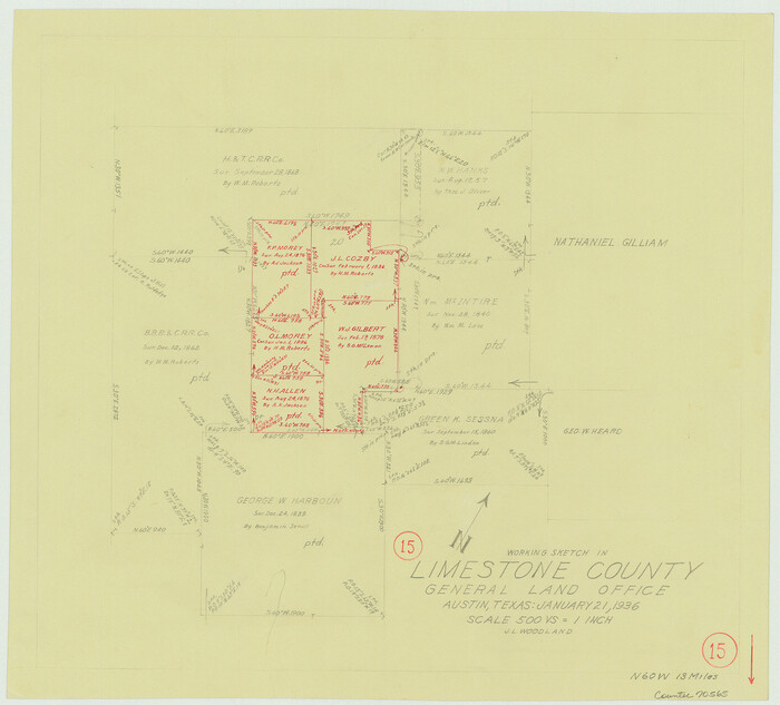
  • Size

    18.3 x 24.9 inches

  • Map/Doc

    79174

  • Creation Date

    1940

Wayland Crossing Sheet Robertson, Limestone and Leon Counties, Navasota River
65072, Wayland Crossing Sheet Robertson, Limestone and Leon Counties, Navasota River, General Map Collection
Print $20.00 - Digital $50.00

Wayland Crossing Sheet Robertson, Limestone and Leon Counties, Navasota River

1934

  • Size

    43.9 x 40.9 inches

  • Map/Doc

    65072

  • Creation Date

    1934

Navasota River, Long Bridge Crossing Sheet
65073, Navasota River, Long Bridge Crossing Sheet, General Map Collection
Print $20.00 - Digital $50.00

Navasota River, Long Bridge Crossing Sheet

1934

  • Size

    43.1 x 36.6 inches

  • Map/Doc

    65073

  • Creation Date

    1934

Navasota River, Springfield Sheet
65074, Navasota River, Springfield Sheet, General Map Collection
Print $20.00 - Digital $50.00

Navasota River, Springfield Sheet

1934

  • Size

    41.5 x 37.8 inches

  • Map/Doc

    65074

  • Creation Date

    1934

Limestone County
16880, Limestone County, General Map Collection
Print $40.00 - Digital $50.00

Limestone County

1922

  • Size

    48.1 x 35.4 inches

  • Map/Doc

    16880

  • Creation Date

    1922

Limestone County
73342, Limestone County, General Map Collection
Print $40.00 - Digital $50.00

Limestone County

1922

  • Size

    50.6 x 36.2 inches

  • Map/Doc

    73342

  • Creation Date

    1922

Limestone County, 1922
89704, Limestone County, 1922, Twichell Survey Records
Print $40.00 - Digital $50.00

Limestone County, 1922

1922

  • Size

    36.4 x 50.1 inches

  • Map/Doc

    89704

  • Creation Date

    1922

[George Gentry, Charles Welch, and Surrounding Surveys]
91082, [George Gentry, Charles Welch, and Surrounding Surveys], Twichell Survey Records
Print $20.00 - Digital $50.00

[George Gentry, Charles Welch, and Surrounding Surveys]

1922

  • Size

    28.6 x 32.0 inches

  • Map/Doc

    91082

  • Creation Date

    1922

Limestone County Sketch File 20
30195, Limestone County Sketch File 20, General Map Collection
Print $44.00 - Digital $50.00

Limestone County Sketch File 20

1922

  • Size

    11.2 x 8.5 inches

  • Map/Doc

    30195

  • Creation Date

    1922

[John W. Carpenter and Surrounding Surveys]
91085, [John W. Carpenter and Surrounding Surveys], Twichell Survey Records
Print $20.00 - Digital $50.00

[John W. Carpenter and Surrounding Surveys]

1922

  • Size

    17.7 x 29.6 inches

  • Map/Doc

    91085

  • Creation Date

    1922

Limestone County Sketch File 19
30193, Limestone County Sketch File 19, General Map Collection
Print $4.00 - Digital $50.00

Limestone County Sketch File 19

1922

  • Size

    11.0 x 8.7 inches

  • Map/Doc

    30193

  • Creation Date

    1922

Limestone County Sketch File 21
30199, Limestone County Sketch File 21, General Map Collection
Print $40.00 - Digital $50.00

Limestone County Sketch File 21

1922

  • Size

    17.0 x 12.3 inches

  • Map/Doc

    30199

  • Creation Date

    1922

[Jesse Folk and Surrounding Surveys]
91087, [Jesse Folk and Surrounding Surveys], Twichell Survey Records
Print $20.00 - Digital $50.00

[Jesse Folk and Surrounding Surveys]

1922

  • Size

    21.8 x 33.7 inches

  • Map/Doc

    91087

  • Creation Date

    1922

Working Sketch in Falls and Limestone Counties
91088, Working Sketch in Falls and Limestone Counties, Twichell Survey Records
Print $20.00 - Digital $50.00

Working Sketch in Falls and Limestone Counties

1922

  • Size

    15.9 x 34.8 inches

  • Map/Doc

    91088

  • Creation Date

    1922

Thornton, Texas
92143, Thornton, Texas, Twichell Survey Records
Print $20.00 - Digital $50.00

Thornton, Texas

1922

  • Size

    30.0 x 32.6 inches

  • Map/Doc

    92143

  • Creation Date

    1922

Map Showing Survey of Navasota River Bed in Limestone County Texas Located North of Houston and Texas Central Railroad Bridge
65347, Map Showing Survey of Navasota River Bed in Limestone County Texas Located North of Houston and Texas Central Railroad Bridge, General Map Collection
Print $40.00 - Digital $50.00

Map Showing Survey of Navasota River Bed in Limestone County Texas Located North of Houston and Texas Central Railroad Bridge

1921

  • Size

    68.0 x 42.5 inches

  • Map/Doc

    65347

  • Creation Date

    1921

Map Showing Survey of Navasota River Bed in Limestone County Texas Located North of Houston and Texas Central Railroad Bridge
65348, Map Showing Survey of Navasota River Bed in Limestone County Texas Located North of Houston and Texas Central Railroad Bridge, General Map Collection
Print $20.00 - Digital $50.00

Map Showing Survey of Navasota River Bed in Limestone County Texas Located North of Houston and Texas Central Railroad Bridge

1921

  • Size

    45.8 x 38.5 inches

  • Map/Doc

    65348

  • Creation Date

    1921

Limestone County Rolled Sketch 4
9573, Limestone County Rolled Sketch 4, General Map Collection
Print $20.00 - Digital $50.00

Limestone County Rolled Sketch 4

1921

  • Size

    35.1 x 35.1 inches

  • Map/Doc

    9573

  • Creation Date

    1921