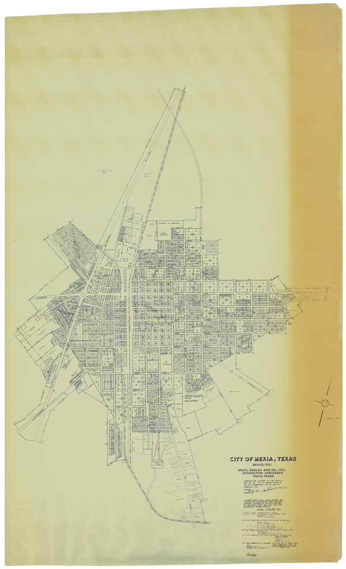
City of Mexia, Texas

Print $40.00
- Digital $50.00
City of Mexia, Texas
1961
Size: 71.2 x 43.3 inches
93671
English Field Notes of the Spanish Archives - Book A-B


English Field Notes of the Spanish Archives - Book A-B
1835
96540
English Field Notes of the Spanish Archives - Books SAS, DB4, GWS, JWB, and JWB3


English Field Notes of the Spanish Archives - Books SAS, DB4, GWS, JWB, and JWB3
1835
96551
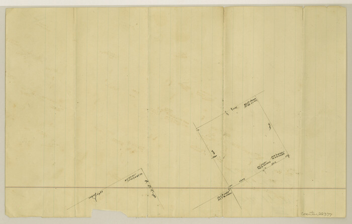
Falls County Sketch File 17

Print $6.00
- Digital $50.00
Falls County Sketch File 17
1872
Size: 8.4 x 13.1 inches
22377
Falls County Working Sketch 3


Print $20.00
- Digital $50.00
Falls County Working Sketch 3
1922
Size: 34.0 x 27.8 inches
69178
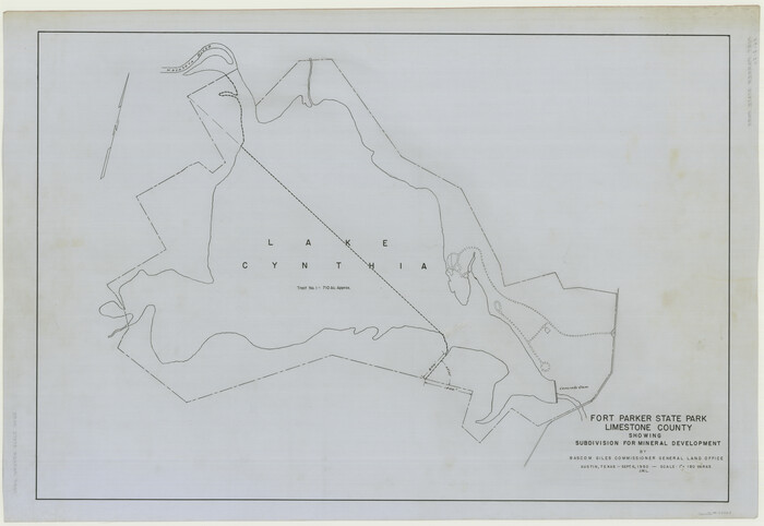
Fort Parker State Park

Print $20.00
- Digital $50.00
Fort Parker State Park
1950
Size: 26.0 x 37.8 inches
73569
Freestone County Sketch File 10


Print $40.00
- Digital $50.00
Freestone County Sketch File 10
Size: 13.0 x 13.5 inches
23058
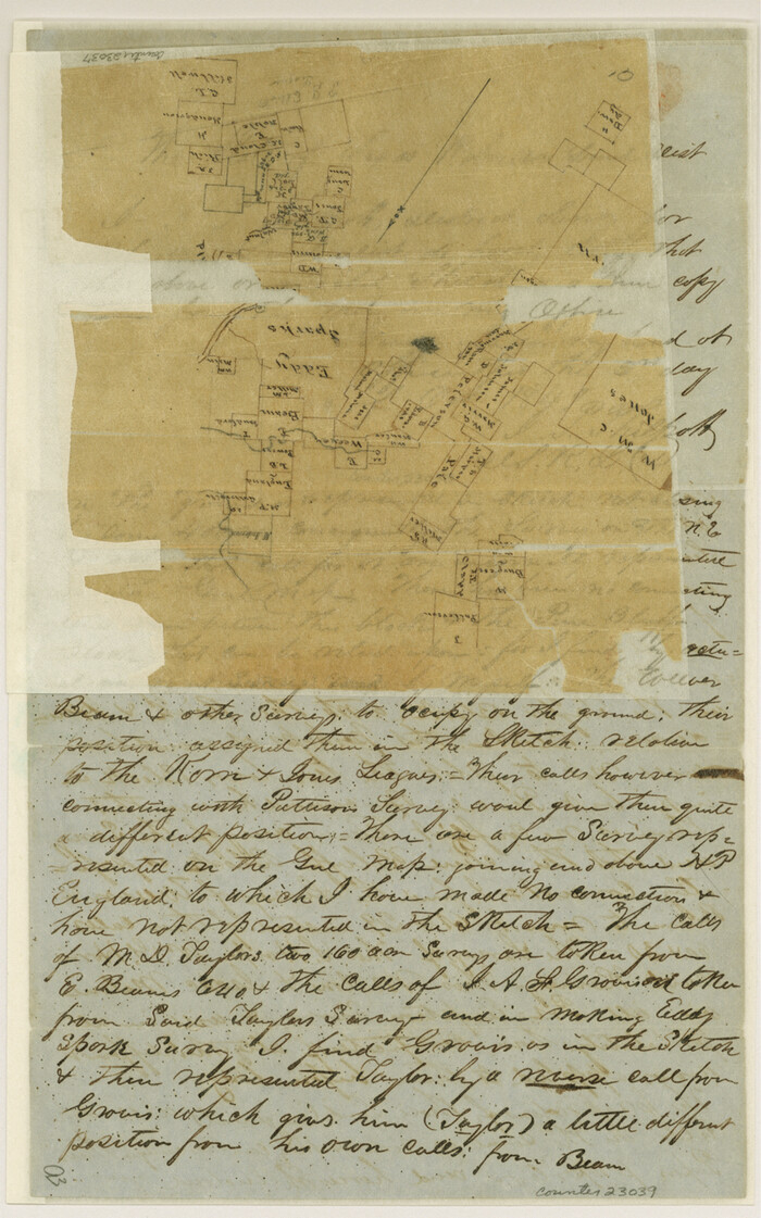
Freestone County Sketch File 2

Print $12.00
- Digital $50.00
Freestone County Sketch File 2
1849
Size: 13.0 x 8.1 inches
23037
Freestone County Sketch File 3


Print $4.00
- Digital $50.00
Freestone County Sketch File 3
Size: 8.0 x 12.7 inches
23042
Freestone County Sketch File 4
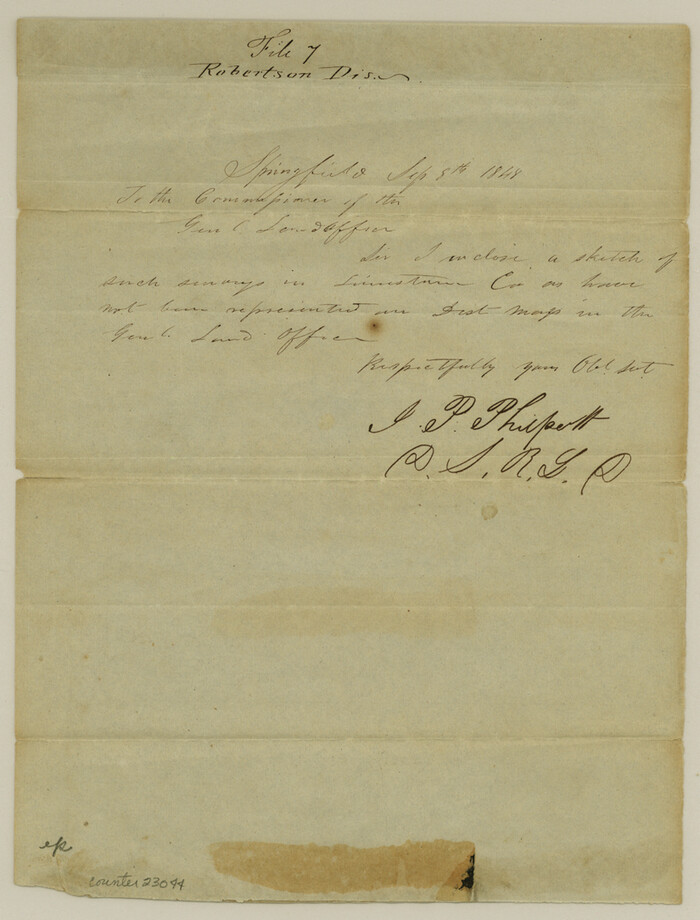

Print $6.00
- Digital $50.00
Freestone County Sketch File 4
1848
Size: 10.8 x 8.2 inches
23044
Freestone County Working Sketch 13
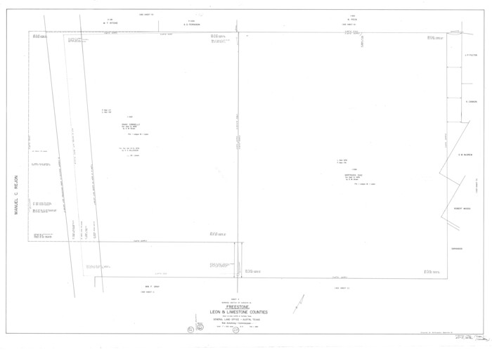

Print $40.00
- Digital $50.00
Freestone County Working Sketch 13
1980
Size: 42.8 x 59.7 inches
69255
Freestone County Working Sketch 14


Print $20.00
- Digital $50.00
Freestone County Working Sketch 14
1980
Size: 37.4 x 38.9 inches
69256
Freestone County Working Sketch 32
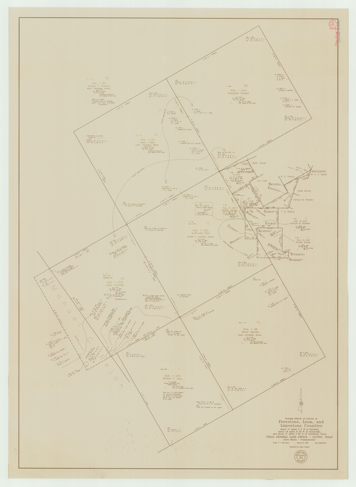

Print $20.00
- Digital $50.00
Freestone County Working Sketch 32
1997
Size: 46.5 x 34.0 inches
69274
Freestone County Working Sketch 4


Print $20.00
- Digital $50.00
Freestone County Working Sketch 4
1921
Size: 29.6 x 22.7 inches
69246
Freestone County Working Sketch 6


Print $40.00
- Digital $50.00
Freestone County Working Sketch 6
1921
Size: 38.3 x 60.0 inches
69248
General Highway Map, Limestone County, Texas


Print $20.00
General Highway Map, Limestone County, Texas
1940
Size: 18.3 x 24.9 inches
79174
General Highway Map, Limestone County, Texas


Print $20.00
General Highway Map, Limestone County, Texas
1961
Size: 18.1 x 24.8 inches
79572
Leon County Sketch File 10
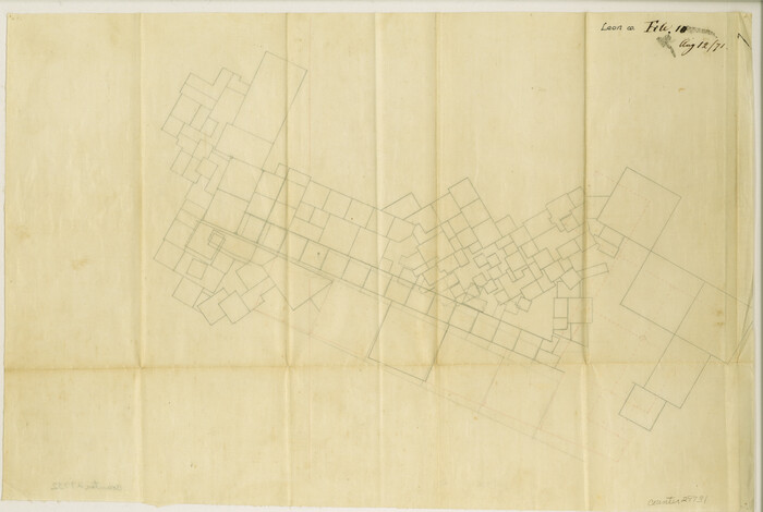

Print $64.00
- Digital $50.00
Leon County Sketch File 10
1871
Size: 10.6 x 15.7 inches
29731
Leon County Sketch File 12


Print $23.00
- Digital $50.00
Leon County Sketch File 12
1886
Size: 9.5 x 11.5 inches
29765
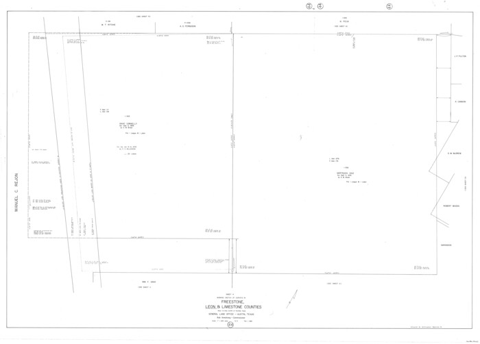
Leon County Working Sketch 44

Print $40.00
- Digital $50.00
Leon County Working Sketch 44
1980
Size: 42.8 x 59.8 inches
70443
Limestone County Boundary File 1


Print $9.00
- Digital $50.00
Limestone County Boundary File 1
Size: 8.8 x 14.5 inches
56296
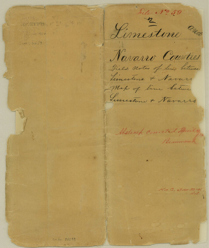
Limestone County Boundary File 59

Print $34.00
- Digital $50.00
Limestone County Boundary File 59
Size: 7.4 x 8.7 inches
56299
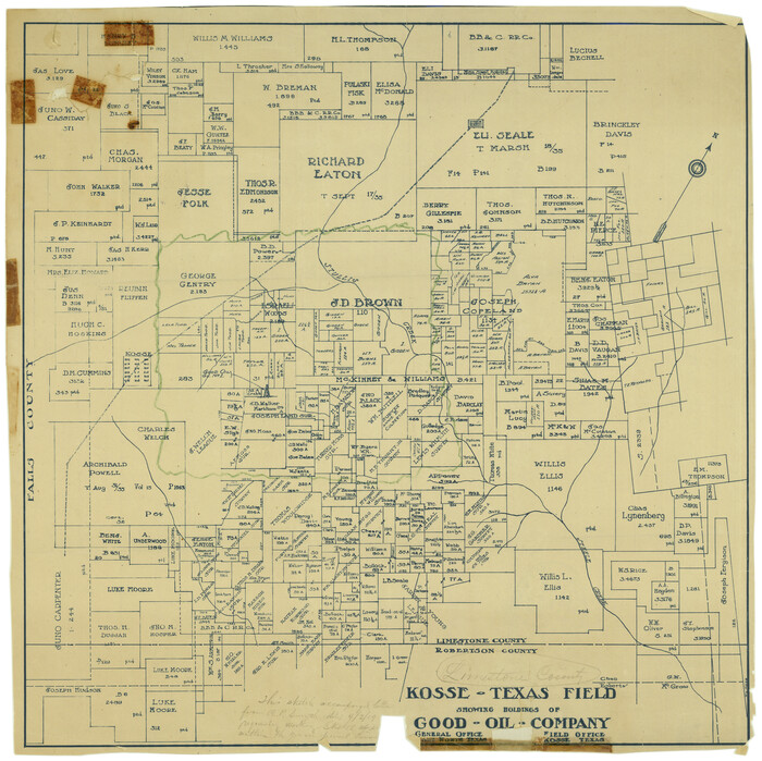
Limestone County Rolled Sketch 3

Print $20.00
- Digital $50.00
Limestone County Rolled Sketch 3
Size: 24.3 x 23.6 inches
6627
City of Mexia, Texas


Print $40.00
- Digital $50.00
City of Mexia, Texas
1961
-
Size
71.2 x 43.3 inches
-
Map/Doc
93671
-
Creation Date
1961
English Field Notes of the Spanish Archives - Book A-B


English Field Notes of the Spanish Archives - Book A-B
1835
-
Map/Doc
96540
-
Creation Date
1835
English Field Notes of the Spanish Archives - Books SAS, DB4, GWS, JWB, and JWB3


English Field Notes of the Spanish Archives - Books SAS, DB4, GWS, JWB, and JWB3
1835
-
Map/Doc
96551
-
Creation Date
1835
Falls County Sketch File 17


Print $6.00
- Digital $50.00
Falls County Sketch File 17
1872
-
Size
8.4 x 13.1 inches
-
Map/Doc
22377
-
Creation Date
1872
Falls County Working Sketch 3


Print $20.00
- Digital $50.00
Falls County Working Sketch 3
1922
-
Size
34.0 x 27.8 inches
-
Map/Doc
69178
-
Creation Date
1922
Fort Parker State Park


Print $20.00
- Digital $50.00
Fort Parker State Park
1950
-
Size
26.0 x 37.8 inches
-
Map/Doc
73569
-
Creation Date
1950
Freestone County Sketch File 10


Print $40.00
- Digital $50.00
Freestone County Sketch File 10
-
Size
13.0 x 13.5 inches
-
Map/Doc
23058
Freestone County Sketch File 2


Print $12.00
- Digital $50.00
Freestone County Sketch File 2
1849
-
Size
13.0 x 8.1 inches
-
Map/Doc
23037
-
Creation Date
1849
Freestone County Sketch File 3


Print $4.00
- Digital $50.00
Freestone County Sketch File 3
-
Size
8.0 x 12.7 inches
-
Map/Doc
23042
Freestone County Sketch File 4


Print $6.00
- Digital $50.00
Freestone County Sketch File 4
1848
-
Size
10.8 x 8.2 inches
-
Map/Doc
23044
-
Creation Date
1848
Freestone County Working Sketch 13


Print $40.00
- Digital $50.00
Freestone County Working Sketch 13
1980
-
Size
42.8 x 59.7 inches
-
Map/Doc
69255
-
Creation Date
1980
Freestone County Working Sketch 14


Print $20.00
- Digital $50.00
Freestone County Working Sketch 14
1980
-
Size
37.4 x 38.9 inches
-
Map/Doc
69256
-
Creation Date
1980
Freestone County Working Sketch 32


Print $20.00
- Digital $50.00
Freestone County Working Sketch 32
1997
-
Size
46.5 x 34.0 inches
-
Map/Doc
69274
-
Creation Date
1997
Freestone County Working Sketch 4


Print $20.00
- Digital $50.00
Freestone County Working Sketch 4
1921
-
Size
29.6 x 22.7 inches
-
Map/Doc
69246
-
Creation Date
1921
Freestone County Working Sketch 6


Print $40.00
- Digital $50.00
Freestone County Working Sketch 6
1921
-
Size
38.3 x 60.0 inches
-
Map/Doc
69248
-
Creation Date
1921
General Highway Map, Limestone County, Texas


Print $20.00
General Highway Map, Limestone County, Texas
1940
-
Size
18.3 x 24.9 inches
-
Map/Doc
79174
-
Creation Date
1940
General Highway Map, Limestone County, Texas


Print $20.00
General Highway Map, Limestone County, Texas
1961
-
Size
18.1 x 24.8 inches
-
Map/Doc
79572
-
Creation Date
1961
Leon County Sketch File 10


Print $64.00
- Digital $50.00
Leon County Sketch File 10
1871
-
Size
10.6 x 15.7 inches
-
Map/Doc
29731
-
Creation Date
1871
Leon County Sketch File 12


Print $23.00
- Digital $50.00
Leon County Sketch File 12
1886
-
Size
9.5 x 11.5 inches
-
Map/Doc
29765
-
Creation Date
1886
Leon County Working Sketch 44


Print $40.00
- Digital $50.00
Leon County Working Sketch 44
1980
-
Size
42.8 x 59.8 inches
-
Map/Doc
70443
-
Creation Date
1980
Limestone Co.


Print $40.00
- Digital $50.00
Limestone Co.
1887
-
Size
52.1 x 33.8 inches
-
Map/Doc
16881
-
Creation Date
1887
Limestone Co.


Print $40.00
- Digital $50.00
Limestone Co.
1887
-
Size
55.3 x 40.4 inches
-
Map/Doc
5016
-
Creation Date
1887
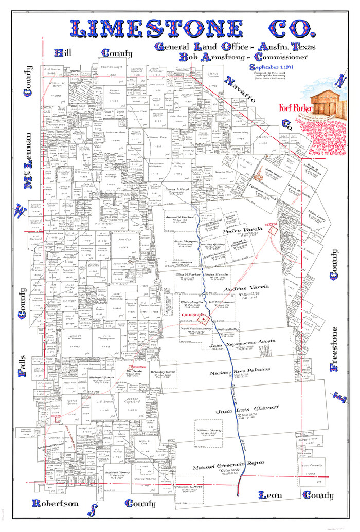
Limestone Co.

Print $40.00
- Digital $50.00
Limestone Co.
1971
-
Size
48.3 x 33.4 inches
-
Map/Doc
73221
-
Creation Date
1971
Limestone Co.
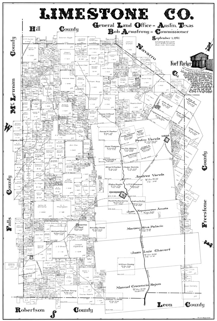

Print $20.00
- Digital $50.00
Limestone Co.
1971
-
Size
40.6 x 27.5 inches
-
Map/Doc
77354
-
Creation Date
1971
Limestone Co.
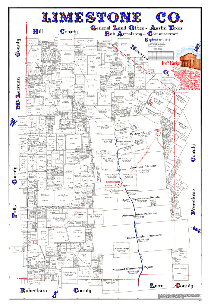

Print $40.00
- Digital $50.00
Limestone Co.
1971
-
Size
49.9 x 34.5 inches
-
Map/Doc
95571
-
Creation Date
1971
Limestone County
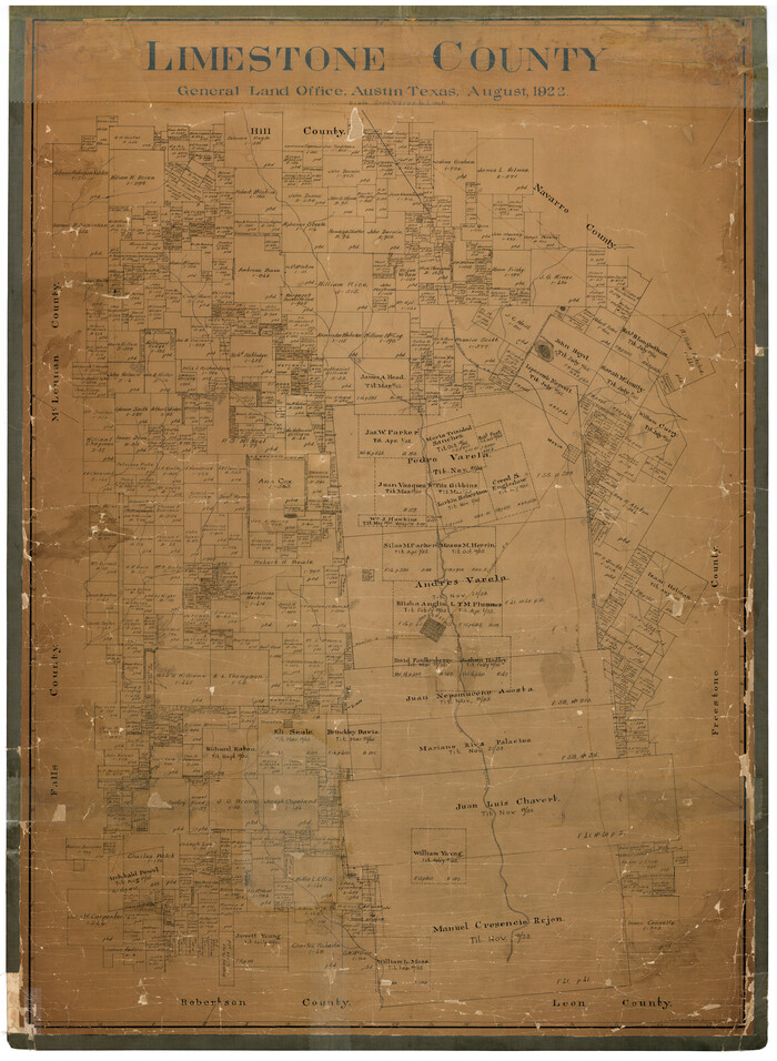

Print $40.00
- Digital $50.00
Limestone County
1922
-
Size
48.1 x 35.4 inches
-
Map/Doc
16880
-
Creation Date
1922
Limestone County


Print $40.00
- Digital $50.00
Limestone County
1922
-
Size
50.6 x 36.2 inches
-
Map/Doc
73342
-
Creation Date
1922
Limestone County Boundary File 1


Print $9.00
- Digital $50.00
Limestone County Boundary File 1
-
Size
8.8 x 14.5 inches
-
Map/Doc
56296
Limestone County Boundary File 59


Print $34.00
- Digital $50.00
Limestone County Boundary File 59
-
Size
7.4 x 8.7 inches
-
Map/Doc
56299
Limestone County Rolled Sketch 3


Print $20.00
- Digital $50.00
Limestone County Rolled Sketch 3
-
Size
24.3 x 23.6 inches
-
Map/Doc
6627