
Loving County Rolled Sketch 17
2022
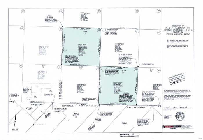
Loving County Rolled Sketch 19
2020
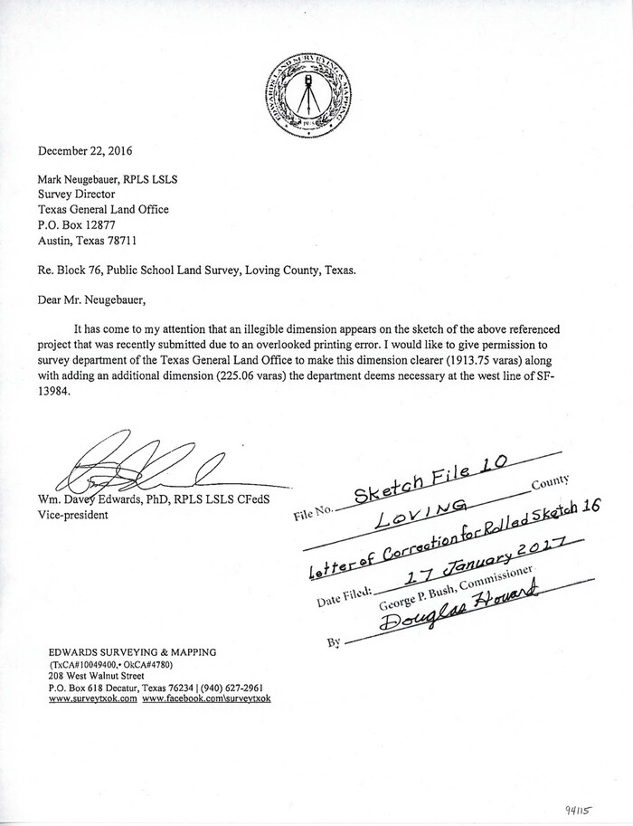
Loving County Sketch File 10
2016

Loving County Rolled Sketch 16
2016

Loving County Rolled Sketch 15
2015

Loving County Sketch File 9
2015

Loving County Working Sketch 26
2014
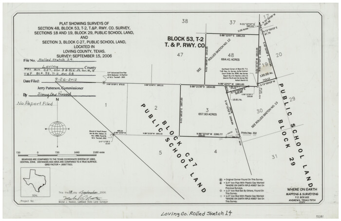
Loving County Rolled Sketch 14
2006

Loving County Rolled Sketch 13
2006
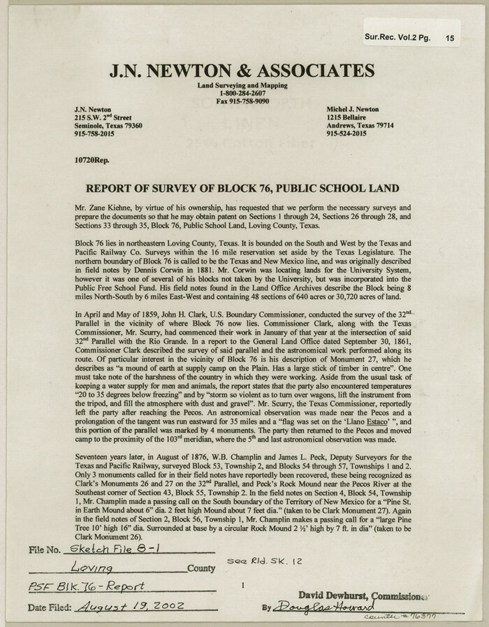
Loving County Sketch File 8
2002

Loving County Rolled Sketch 10
1990
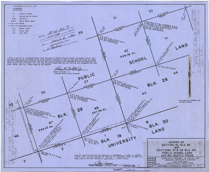
Loving County Rolled Sketch 9
1985
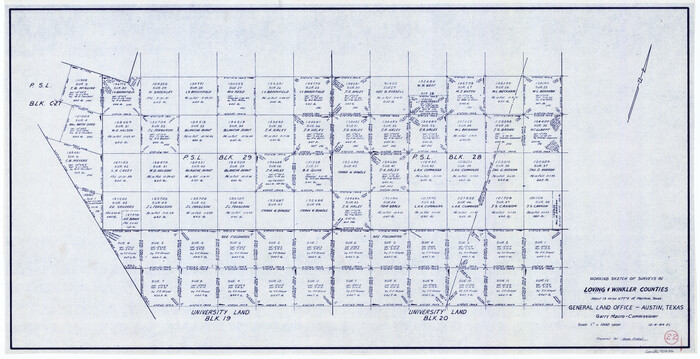
Loving County Working Sketch 22
1984
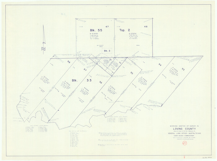
Loving County Working Sketch 21
1984
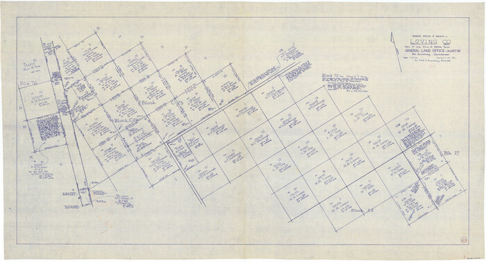
Loving County Working Sketch 20
1979
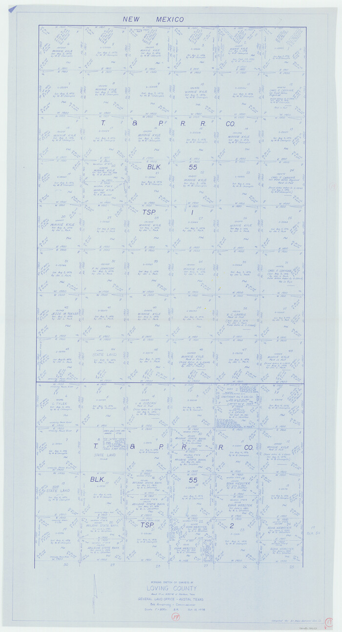
Loving County Working Sketch 19
1978
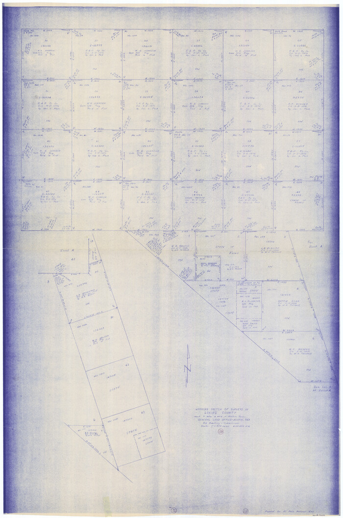
Loving County Working Sketch 18
1978
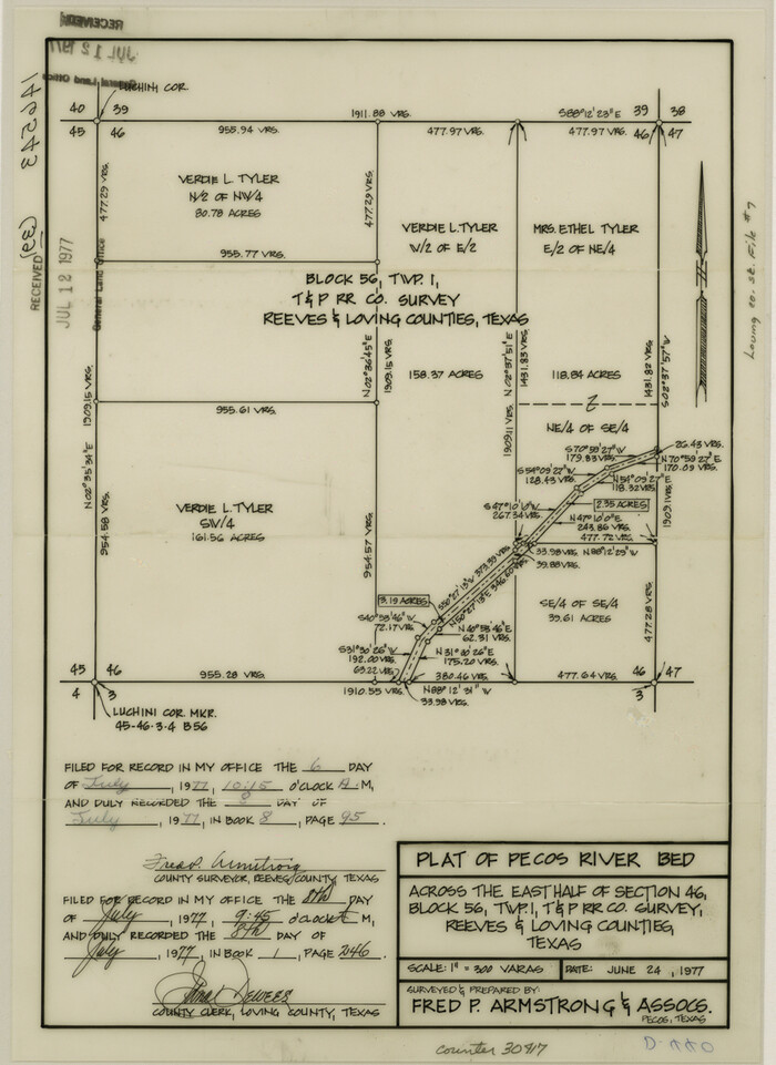
Loving County Sketch File 7
1977
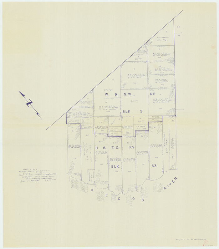
Loving County Working Sketch 17
1976
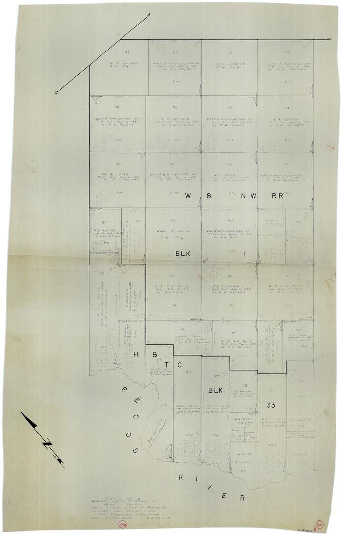
Loving County Working Sketch 16a
1976

Loving County Rolled Sketch 8
1975
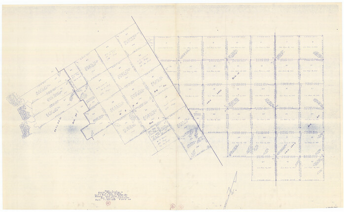
Loving County Working Sketch 16
1973
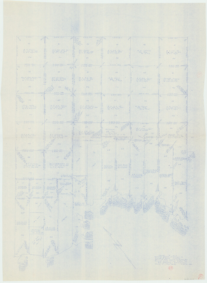
Loving County Working Sketch 15
1973
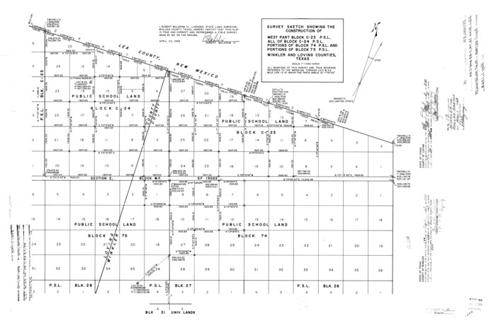
Winkler County Rolled Sketch 15
1968
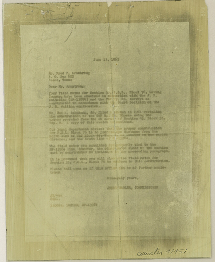
Loving County Sketch File 6
1963
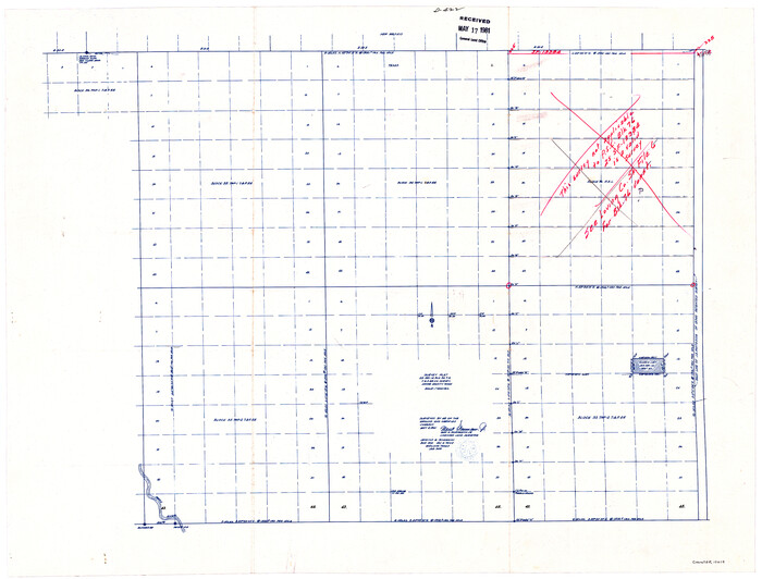
Loving County Sketch File 4
1961

General Highway Map, Loving County, Texas
1961
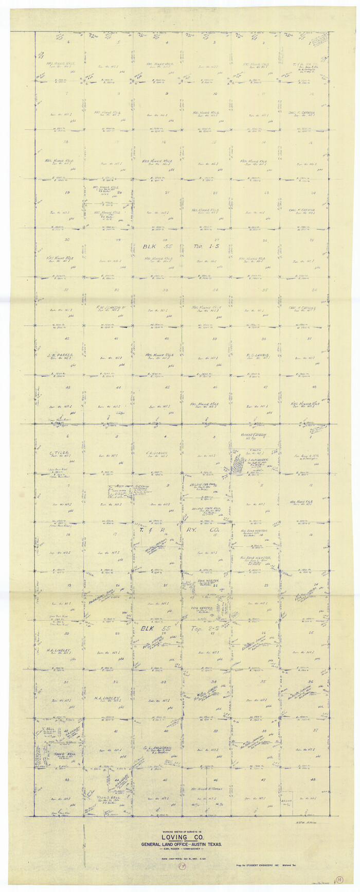
Loving County Working Sketch 14
1957
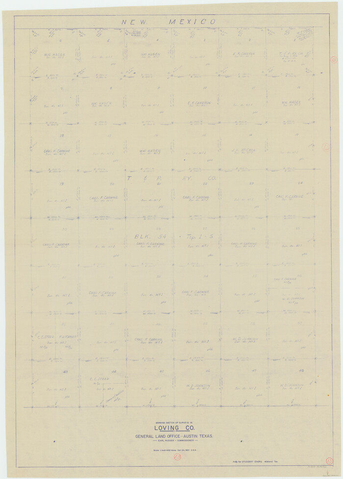
Loving County Working Sketch 13
1957
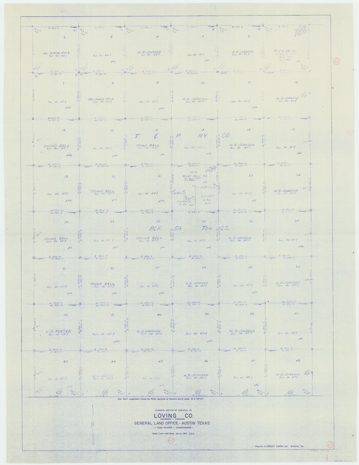
Loving County Working Sketch 12
1957

Loving County Rolled Sketch 17
2022
-
Size
38.2 x 49.3 inches
-
Map/Doc
97292
-
Creation Date
2022

Loving County Rolled Sketch 19
2020
-
Size
24.4 x 35.3 inches
-
Map/Doc
96575
-
Creation Date
2020

Loving County Sketch File 10
2016
-
Size
11.0 x 8.5 inches
-
Map/Doc
94115
-
Creation Date
2016

Loving County Rolled Sketch 16
2016
-
Size
36.3 x 24.6 inches
-
Map/Doc
94114
-
Creation Date
2016

Loving County Rolled Sketch 15
2015
-
Size
36.2 x 24.4 inches
-
Map/Doc
93793
-
Creation Date
2015

Loving County Sketch File 9
2015
-
Size
14.0 x 8.5 inches
-
Map/Doc
93794
-
Creation Date
2015

Loving County Working Sketch 26
2014
-
Size
33.3 x 48.0 inches
-
Map/Doc
93681
-
Creation Date
2014

Loving County Rolled Sketch 14
2006
-
Size
11.4 x 17.5 inches
-
Map/Doc
93381
-
Creation Date
2006

Loving County Rolled Sketch 13
2006
-
Size
43.6 x 45.0 inches
-
Map/Doc
83650
-
Creation Date
2006

Loving County Sketch File 8
2002
-
Size
11.2 x 8.7 inches
-
Map/Doc
76377
-
Creation Date
2002

Loving County Rolled Sketch 10
1990
-
Size
32.0 x 43.6 inches
-
Map/Doc
9468
-
Creation Date
1990

Loving County Rolled Sketch 9
1985
-
Size
14.2 x 17.3 inches
-
Map/Doc
6640
-
Creation Date
1985

Loving County Working Sketch 22
1984
-
Size
18.3 x 34.9 inches
-
Map/Doc
70656
-
Creation Date
1984

Loving County Working Sketch 21
1984
-
Size
26.7 x 36.0 inches
-
Map/Doc
70655
-
Creation Date
1984

Loving County Working Sketch 20
1979
-
Size
30.6 x 56.6 inches
-
Map/Doc
70654
-
Creation Date
1979

Loving County Working Sketch 19
1978
-
Size
54.0 x 29.2 inches
-
Map/Doc
70653
-
Creation Date
1978

Loving County Working Sketch 18
1978
-
Size
65.2 x 43.2 inches
-
Map/Doc
70652
-
Creation Date
1978

Loving County Sketch File 7
1977
-
Size
12.1 x 8.8 inches
-
Map/Doc
30417
-
Creation Date
1977

Loving County Working Sketch 17
1976
-
Size
43.5 x 38.2 inches
-
Map/Doc
70651
-
Creation Date
1976

Loving County Working Sketch 16a
1976
-
Size
45.4 x 29.3 inches
-
Map/Doc
70650
-
Creation Date
1976

Loving County Rolled Sketch 8
1975
-
Size
30.5 x 17.4 inches
-
Map/Doc
6639
-
Creation Date
1975

Loving County Working Sketch 16
1973
-
Size
33.3 x 54.1 inches
-
Map/Doc
70649
-
Creation Date
1973

Loving County Working Sketch 15
1973
-
Size
47.3 x 34.5 inches
-
Map/Doc
70648
-
Creation Date
1973

Winkler County Rolled Sketch 15
1968
-
Size
25.1 x 37.8 inches
-
Map/Doc
10305
-
Creation Date
1968

Loving County Sketch File 6
1963
-
Size
7.2 x 5.9 inches
-
Map/Doc
41451
-
Creation Date
1963

Loving County Sketch File 4
1961
-
Size
20.6 x 24.7 inches
-
Map/Doc
12014
-
Creation Date
1961

General Highway Map, Loving County, Texas
1961
-
Size
18.1 x 24.6 inches
-
Map/Doc
79577
-
Creation Date
1961

Loving County Working Sketch 14
1957
-
Size
86.7 x 35.0 inches
-
Map/Doc
70647
-
Creation Date
1957

Loving County Working Sketch 13
1957
-
Size
48.4 x 34.6 inches
-
Map/Doc
70646
-
Creation Date
1957

Loving County Working Sketch 12
1957
-
Size
48.1 x 37.1 inches
-
Map/Doc
70645
-
Creation Date
1957