Abernathy Quadrangle
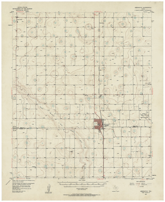

Print $20.00
- Digital $50.00
Abernathy Quadrangle
Size: 17.6 x 21.4 inches
92813
Arnold Durham Irrigated Farm West Half Section 60, Block 20
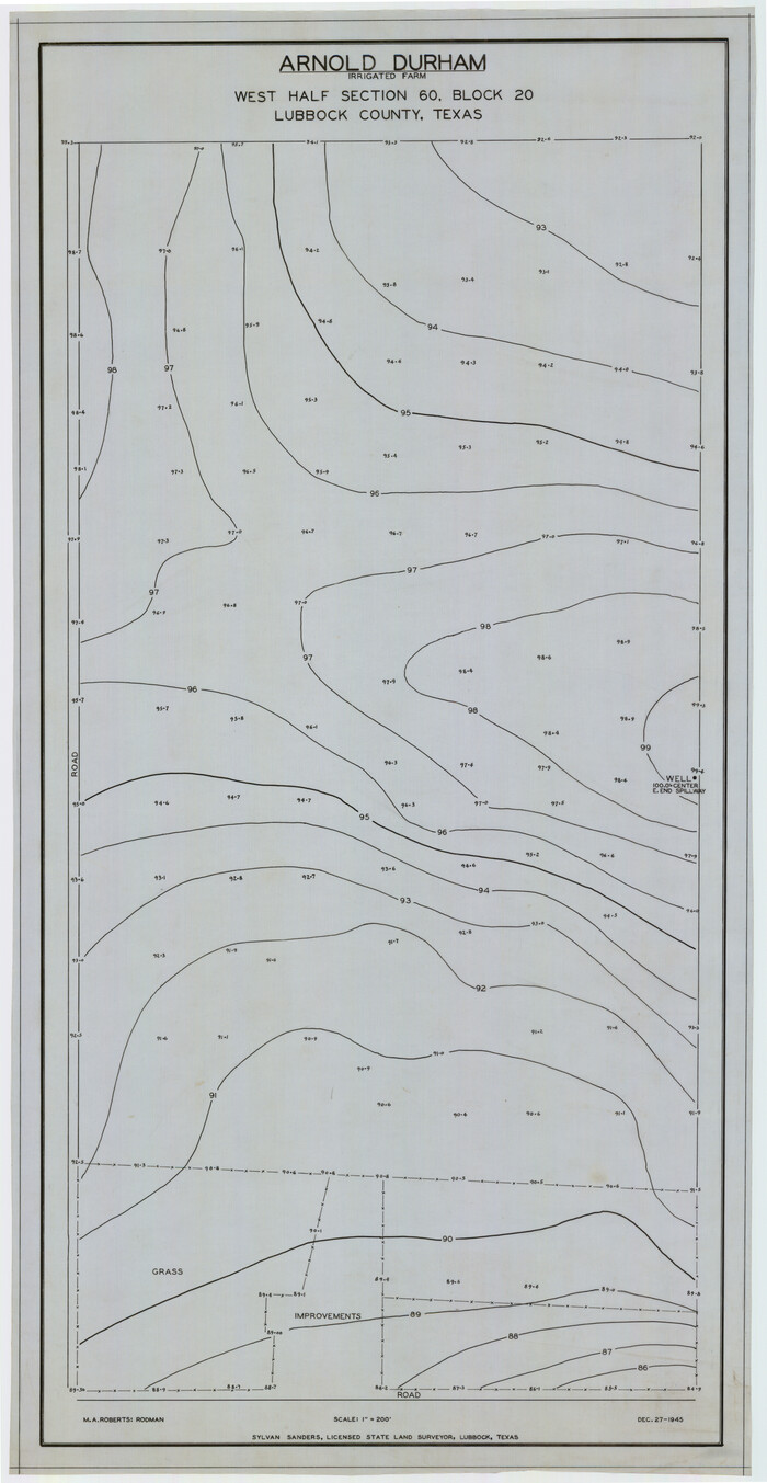

Print $20.00
- Digital $50.00
Arnold Durham Irrigated Farm West Half Section 60, Block 20
1945
Size: 16.5 x 31.4 inches
92316
Arthur E. Miller Irrigated Farm West Half Section 19, Block D6


Print $20.00
- Digital $50.00
Arthur E. Miller Irrigated Farm West Half Section 19, Block D6
Size: 11.9 x 21.8 inches
92317
Ater Heights Section 44, Block AK


Print $20.00
- Digital $50.00
Ater Heights Section 44, Block AK
1952
Size: 11.9 x 18.9 inches
92347
Bennett and Norman, 30 Acres


Print $20.00
- Digital $50.00
Bennett and Norman, 30 Acres
Size: 27.9 x 9.7 inches
92721
Block 15, Willona Village, Addition to City of Lubbock, Out SW Corner of SE/4, Section 2, Blk E, George Soash, Owner
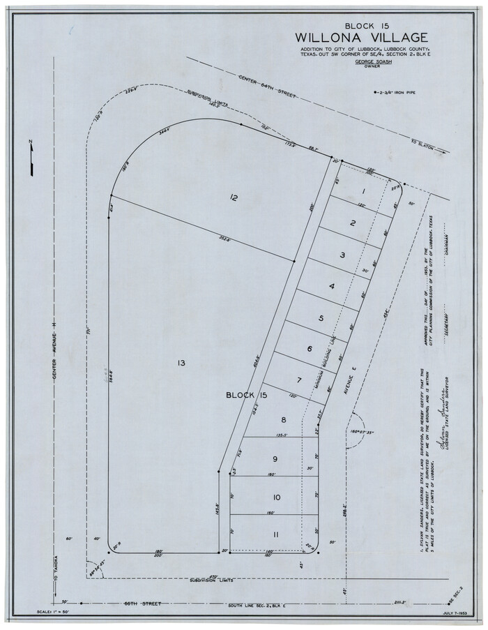

Print $20.00
- Digital $50.00
Block 15, Willona Village, Addition to City of Lubbock, Out SW Corner of SE/4, Section 2, Blk E, George Soash, Owner
1953
Size: 18.2 x 23.1 inches
92772
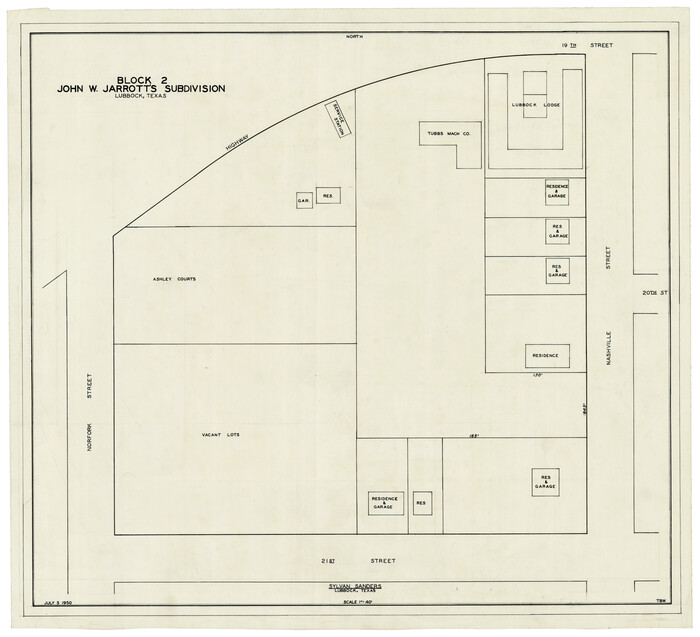
Block 2, John W. Jarrotts Subdivision

Print $20.00
- Digital $50.00
Block 2, John W. Jarrotts Subdivision
1950
Size: 15.1 x 13.7 inches
92713
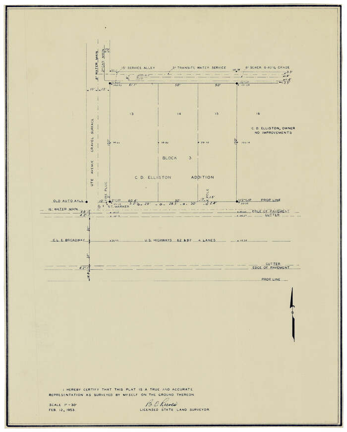
Block 3, C. D. Elliston Addition

Print $20.00
- Digital $50.00
Block 3, C. D. Elliston Addition
1953
Size: 14.8 x 18.3 inches
92728
Block 39 of the Brown Subdivision being a part of the Northeast Quarter Section 4, Block O


Print $20.00
- Digital $50.00
Block 39 of the Brown Subdivision being a part of the Northeast Quarter Section 4, Block O
1954
Size: 14.8 x 14.2 inches
92822
Boyd-Gordon Addition to Idalou, a Subdivision of a Part Tracts 27, 28, 29 and 30 of the Ross Addition to Idalou


Print $3.00
- Digital $50.00
Boyd-Gordon Addition to Idalou, a Subdivision of a Part Tracts 27, 28, 29 and 30 of the Ross Addition to Idalou
1953
Size: 11.8 x 17.8 inches
92873
Bray Subdivision and McElroy Subdivision


Print $20.00
- Digital $50.00
Bray Subdivision and McElroy Subdivision
Size: 19.3 x 25.2 inches
92746
C. C. Born Farm South Half Section 91, Block C


Print $20.00
- Digital $50.00
C. C. Born Farm South Half Section 91, Block C
Size: 20.5 x 12.9 inches
92314
Capitol Land Reservation


Print $20.00
- Digital $50.00
Capitol Land Reservation
1880
Size: 27.1 x 34.4 inches
10746
Carden L. Green Farm Part Sections 13 & 22, Block JS


Print $20.00
- Digital $50.00
Carden L. Green Farm Part Sections 13 & 22, Block JS
Size: 14.0 x 24.1 inches
92324
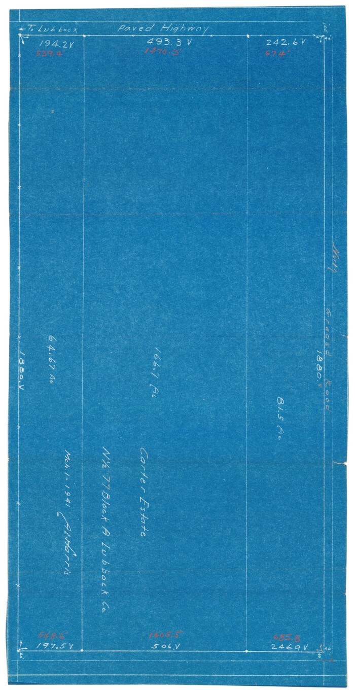
Carter Estate, North Half 77, Block A, Lubbock County

Print $20.00
- Digital $50.00
Carter Estate, North Half 77, Block A, Lubbock County
1941
Size: 9.8 x 18.4 inches
92751
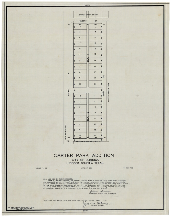
Carter Park Addition

Print $20.00
- Digital $50.00
Carter Park Addition
1952
Size: 18.3 x 23.2 inches
92769
Carter-Coffey Addition, Part of Section 77, Block A


Print $20.00
- Digital $50.00
Carter-Coffey Addition, Part of Section 77, Block A
Size: 30.0 x 9.8 inches
92766
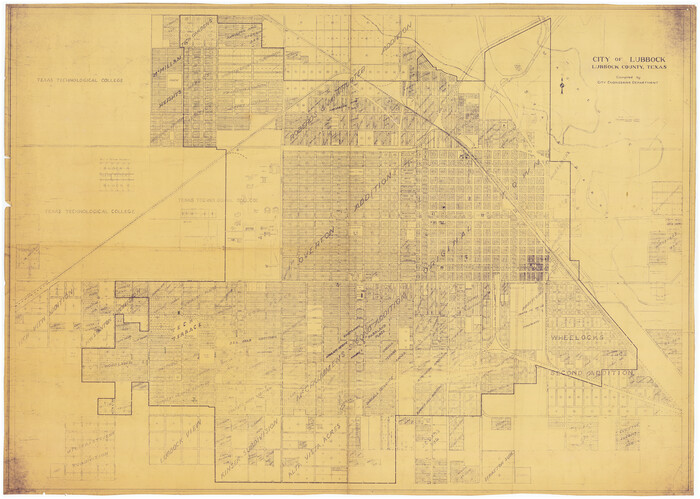
City of Lubbock, Lubbock County, Texas

Print $40.00
- Digital $50.00
City of Lubbock, Lubbock County, Texas
1946
Size: 54.3 x 39.1 inches
89902
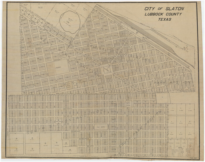
City of Slaton, Lubbock County, Texas

Print $40.00
- Digital $50.00
City of Slaton, Lubbock County, Texas
Size: 51.4 x 41.3 inches
89897
Clayton Carter Addition, North 84.9 Acres of Section 77, Block A


Print $20.00
- Digital $50.00
Clayton Carter Addition, North 84.9 Acres of Section 77, Block A
1945
Size: 30.1 x 9.6 inches
92767
College Park Addition to the City of Lubbock Located on Section 9, Block B


Print $20.00
- Digital $50.00
College Park Addition to the City of Lubbock Located on Section 9, Block B
Size: 12.9 x 15.9 inches
92277
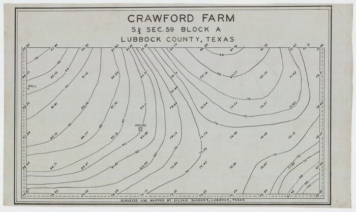
Crawford Farm S 1/2 Section 59, Block A

Print $3.00
- Digital $50.00
Crawford Farm S 1/2 Section 59, Block A
Size: 16.5 x 9.9 inches
92337
A. H. Baer Estate


Print $20.00
- Digital $50.00
A. H. Baer Estate
-
Size
18.4 x 15.6 inches
-
Map/Doc
92748
Abernathy Quadrangle


Print $20.00
- Digital $50.00
Abernathy Quadrangle
-
Size
17.6 x 21.4 inches
-
Map/Doc
92813
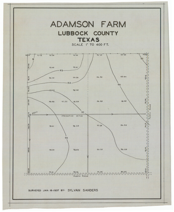
Adamson Farm

Print $3.00
- Digital $50.00
Adamson Farm
1937
-
Size
9.5 x 11.6 inches
-
Map/Doc
92343
-
Creation Date
1937
Anton Quadrangle


Print $20.00
- Digital $50.00
Anton Quadrangle
1957
-
Size
18.1 x 22.1 inches
-
Map/Doc
92814
-
Creation Date
1957
Arnold Durham Irrigated Farm West Half Section 60, Block 20


Print $20.00
- Digital $50.00
Arnold Durham Irrigated Farm West Half Section 60, Block 20
1945
-
Size
16.5 x 31.4 inches
-
Map/Doc
92316
-
Creation Date
1945
Arthur E. Miller Irrigated Farm West Half Section 19, Block D6


Print $20.00
- Digital $50.00
Arthur E. Miller Irrigated Farm West Half Section 19, Block D6
-
Size
11.9 x 21.8 inches
-
Map/Doc
92317
Ater Heights Section 44, Block AK


Print $20.00
- Digital $50.00
Ater Heights Section 44, Block AK
1952
-
Size
11.9 x 18.9 inches
-
Map/Doc
92347
-
Creation Date
1952
Bennett and Norman, 30 Acres


Print $20.00
- Digital $50.00
Bennett and Norman, 30 Acres
-
Size
27.9 x 9.7 inches
-
Map/Doc
92721
Block 15, Willona Village, Addition to City of Lubbock, Out SW Corner of SE/4, Section 2, Blk E, George Soash, Owner


Print $20.00
- Digital $50.00
Block 15, Willona Village, Addition to City of Lubbock, Out SW Corner of SE/4, Section 2, Blk E, George Soash, Owner
1953
-
Size
18.2 x 23.1 inches
-
Map/Doc
92772
-
Creation Date
1953
Block 2, John W. Jarrotts Subdivision


Print $20.00
- Digital $50.00
Block 2, John W. Jarrotts Subdivision
1950
-
Size
15.1 x 13.7 inches
-
Map/Doc
92713
-
Creation Date
1950
Block 3, C. D. Elliston Addition


Print $20.00
- Digital $50.00
Block 3, C. D. Elliston Addition
1953
-
Size
14.8 x 18.3 inches
-
Map/Doc
92728
-
Creation Date
1953
Block 39 of the Brown Subdivision being a part of the Northeast Quarter Section 4, Block O


Print $20.00
- Digital $50.00
Block 39 of the Brown Subdivision being a part of the Northeast Quarter Section 4, Block O
1954
-
Size
14.8 x 14.2 inches
-
Map/Doc
92822
-
Creation Date
1954
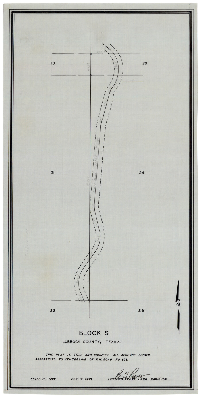
Block S

Print $20.00
- Digital $50.00
Block S
1953
-
Size
9.6 x 19.0 inches
-
Map/Doc
92857
-
Creation Date
1953
Bobalet Heights


Print $20.00
- Digital $50.00
Bobalet Heights
1941
-
Size
35.6 x 36.5 inches
-
Map/Doc
92787
-
Creation Date
1941
Boyd-Gordon Addition to Idalou, a Subdivision of a Part Tracts 27, 28, 29 and 30 of the Ross Addition to Idalou


Print $3.00
- Digital $50.00
Boyd-Gordon Addition to Idalou, a Subdivision of a Part Tracts 27, 28, 29 and 30 of the Ross Addition to Idalou
1953
-
Size
11.8 x 17.8 inches
-
Map/Doc
92873
-
Creation Date
1953
Bray Subdivision and McElroy Subdivision


Print $20.00
- Digital $50.00
Bray Subdivision and McElroy Subdivision
-
Size
19.3 x 25.2 inches
-
Map/Doc
92746
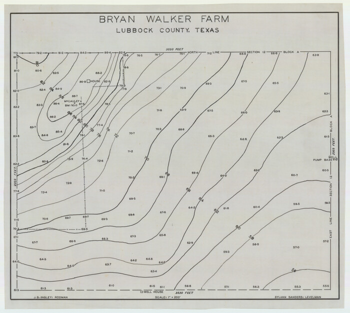
Bryan Walker Farm

Print $20.00
- Digital $50.00
Bryan Walker Farm
-
Size
17.1 x 15.5 inches
-
Map/Doc
92339
C. C. Born Farm South Half Section 91, Block C


Print $20.00
- Digital $50.00
C. C. Born Farm South Half Section 91, Block C
-
Size
20.5 x 12.9 inches
-
Map/Doc
92314
Capitol Land Reservation


Print $20.00
- Digital $50.00
Capitol Land Reservation
1880
-
Size
27.1 x 34.4 inches
-
Map/Doc
10746
-
Creation Date
1880
Carden L. Green Farm Part Sections 13 & 22, Block JS


Print $20.00
- Digital $50.00
Carden L. Green Farm Part Sections 13 & 22, Block JS
-
Size
14.0 x 24.1 inches
-
Map/Doc
92324
Carter Estate, North Half 77, Block A, Lubbock County


Print $20.00
- Digital $50.00
Carter Estate, North Half 77, Block A, Lubbock County
1941
-
Size
9.8 x 18.4 inches
-
Map/Doc
92751
-
Creation Date
1941
Carter Park Addition


Print $20.00
- Digital $50.00
Carter Park Addition
1952
-
Size
18.3 x 23.2 inches
-
Map/Doc
92769
-
Creation Date
1952
Carter-Coffey Addition, Part of Section 77, Block A


Print $20.00
- Digital $50.00
Carter-Coffey Addition, Part of Section 77, Block A
-
Size
30.0 x 9.8 inches
-
Map/Doc
92766
City of Lubbock, Lubbock County, Texas


Print $40.00
- Digital $50.00
City of Lubbock, Lubbock County, Texas
1946
-
Size
54.3 x 39.1 inches
-
Map/Doc
89902
-
Creation Date
1946
City of Slaton, Lubbock County, Texas


Print $40.00
- Digital $50.00
City of Slaton, Lubbock County, Texas
-
Size
51.4 x 41.3 inches
-
Map/Doc
89897
Clayton Carter Addition, North 84.9 Acres of Section 77, Block A


Print $20.00
- Digital $50.00
Clayton Carter Addition, North 84.9 Acres of Section 77, Block A
1945
-
Size
30.1 x 9.6 inches
-
Map/Doc
92767
-
Creation Date
1945
College Park Addition to the City of Lubbock Located on Section 9, Block B


Print $20.00
- Digital $50.00
College Park Addition to the City of Lubbock Located on Section 9, Block B
-
Size
12.9 x 15.9 inches
-
Map/Doc
92277
Crawford Farm S 1/2 Section 59, Block A


Print $3.00
- Digital $50.00
Crawford Farm S 1/2 Section 59, Block A
-
Size
16.5 x 9.9 inches
-
Map/Doc
92337
