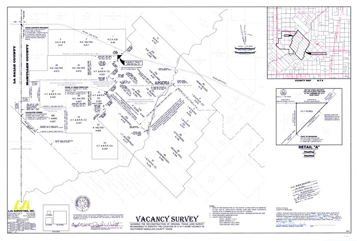
McMullen County Rolled Sketch 23
2020

McMullen County Working Sketch 62
2016

Land grants from the state of Tamaulipas in the trans-Nueces
2009

McMullen County Rolled Sketch 22
2004
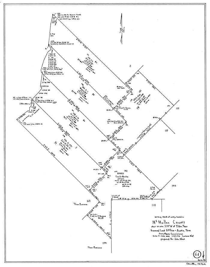
McMullen County Working Sketch 61
1990

McMullen County Sketch File 47
1989

McMullen County Working Sketch 60
1987
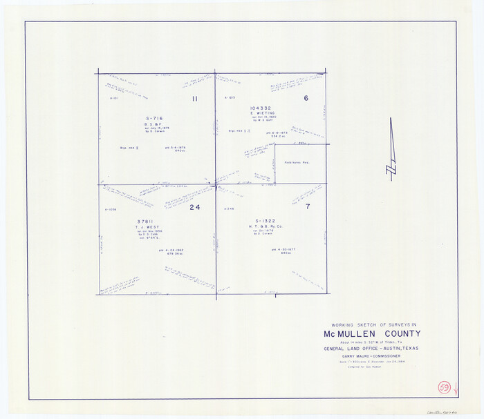
McMullen County Working Sketch 59
1984
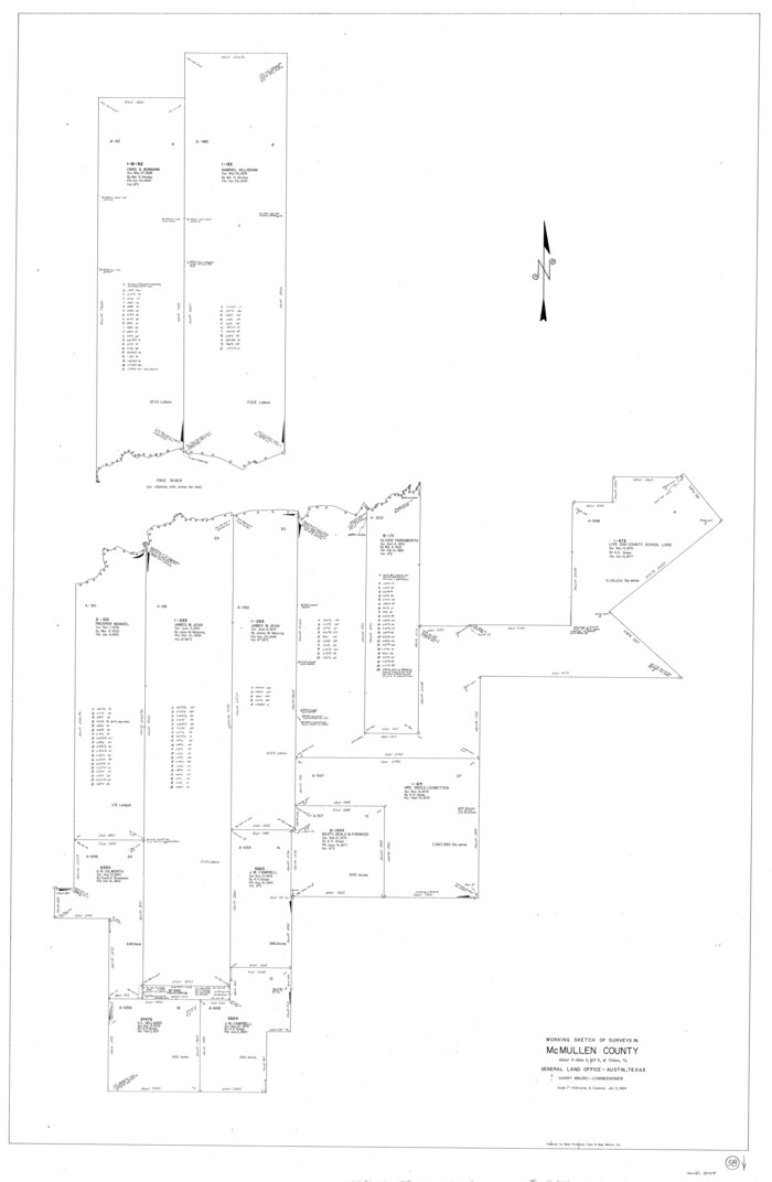
McMullen County Working Sketch 58
1984

McMullen County Working Sketch 57
1983
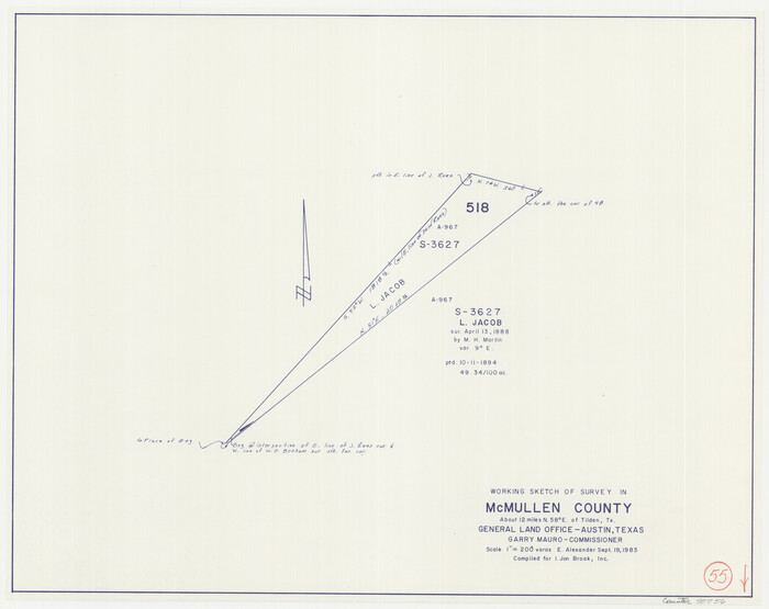
McMullen County Working Sketch 55
1983
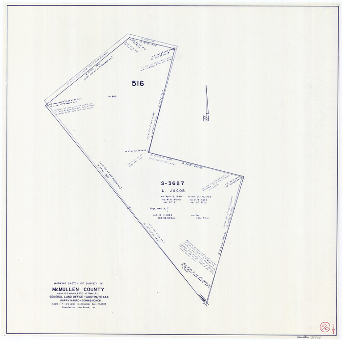
McMullen County Working Sketch 56
1983

McMullen County Working Sketch 54
1983

McMullen County Working Sketch 53
1983

McMullen County Working Sketch 50
1983
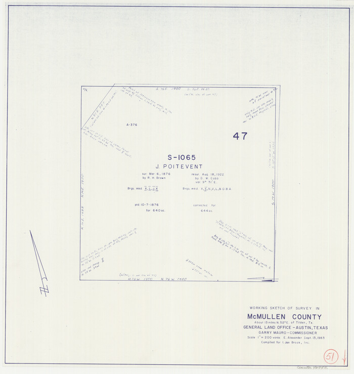
McMullen County Working Sketch 51
1983
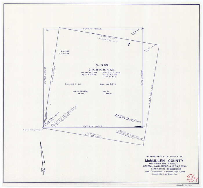
McMullen County Working Sketch 52
1983
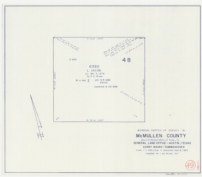
McMullen County Working Sketch 49
1983

McMullen County Working Sketch 48
1983
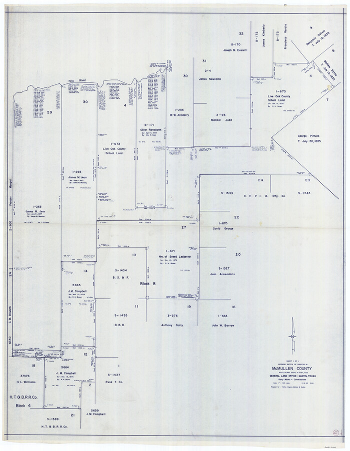
McMullen County Working Sketch 47
1983
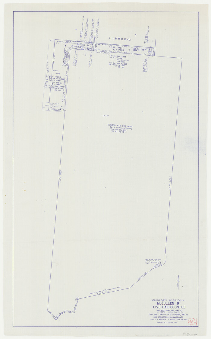
McMullen County Working Sketch 46
1982

Duval County Rolled Sketch 44A
1981

Duval County Working Sketch 49
1981
Duval County Rolled Sketch 44
1981
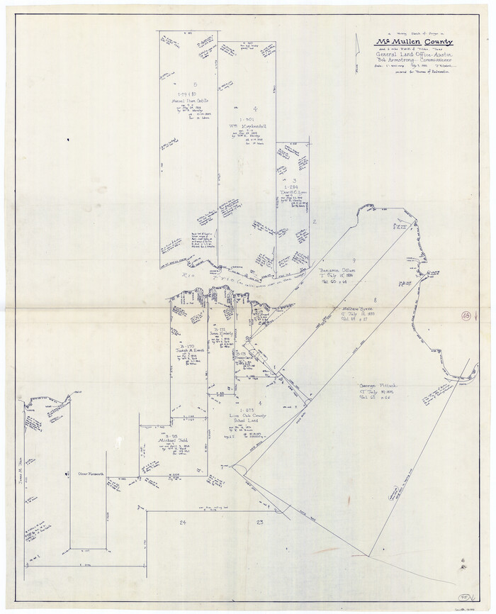
McMullen County Working Sketch 45
1981

McMullen County Working Sketch 44
1981

McMullen County Working Sketch 43
1980
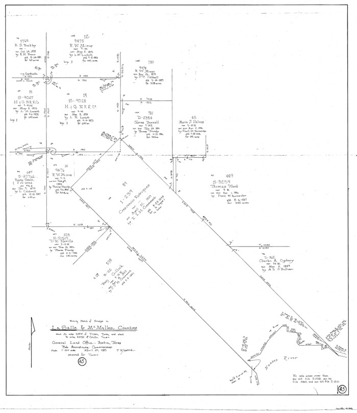
La Salle County Working Sketch 45
1980
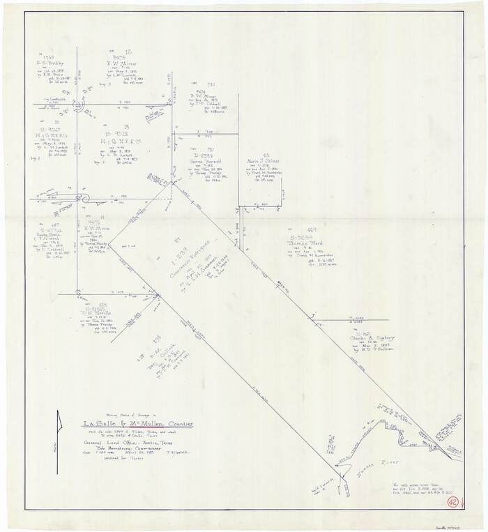
McMullen County Working Sketch 42
1980
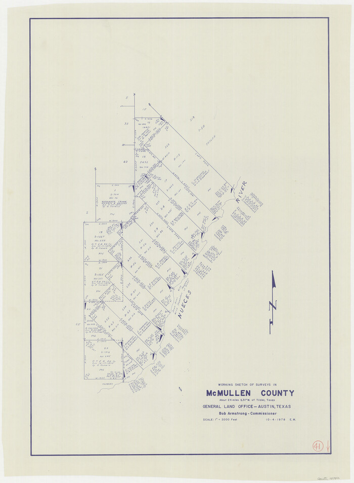
McMullen County Working Sketch 41
1978

McMullen County Rolled Sketch 23
2020
-
Size
24.5 x 36.3 inches
-
Map/Doc
95949
-
Creation Date
2020

McMullen County Working Sketch 62
2016
-
Size
24.1 x 36.1 inches
-
Map/Doc
94089
-
Creation Date
2016

Land grants from the state of Tamaulipas in the trans-Nueces
2009
-
Size
11.0 x 8.5 inches
-
Map/Doc
94040
-
Creation Date
2009

McMullen County Rolled Sketch 22
2004
-
Size
15.3 x 24.6 inches
-
Map/Doc
88824
-
Creation Date
2004

McMullen County Working Sketch 61
1990
-
Size
25.2 x 19.8 inches
-
Map/Doc
70762
-
Creation Date
1990

McMullen County Sketch File 47
1989
-
Size
24.6 x 21.5 inches
-
Map/Doc
12066
-
Creation Date
1989

McMullen County Working Sketch 60
1987
-
Size
23.0 x 32.6 inches
-
Map/Doc
70761
-
Creation Date
1987

McMullen County Working Sketch 59
1984
-
Size
24.0 x 27.7 inches
-
Map/Doc
70760
-
Creation Date
1984

McMullen County Working Sketch 58
1984
-
Size
61.2 x 40.0 inches
-
Map/Doc
70759
-
Creation Date
1984

McMullen County Working Sketch 57
1983
-
Size
29.5 x 18.8 inches
-
Map/Doc
70758
-
Creation Date
1983

McMullen County Working Sketch 55
1983
-
Size
15.2 x 19.2 inches
-
Map/Doc
70756
-
Creation Date
1983

McMullen County Working Sketch 56
1983
-
Size
23.9 x 24.1 inches
-
Map/Doc
70757
-
Creation Date
1983

McMullen County Working Sketch 54
1983
-
Size
25.3 x 29.0 inches
-
Map/Doc
70755
-
Creation Date
1983

McMullen County Working Sketch 53
1983
-
Size
18.1 x 18.7 inches
-
Map/Doc
70754
-
Creation Date
1983

McMullen County Working Sketch 50
1983
-
Size
18.4 x 18.0 inches
-
Map/Doc
70751
-
Creation Date
1983

McMullen County Working Sketch 51
1983
-
Size
18.3 x 17.4 inches
-
Map/Doc
70752
-
Creation Date
1983

McMullen County Working Sketch 52
1983
-
Size
18.0 x 19.4 inches
-
Map/Doc
70753
-
Creation Date
1983

McMullen County Working Sketch 49
1983
-
Size
12.8 x 14.6 inches
-
Map/Doc
70750
-
Creation Date
1983

McMullen County Working Sketch 48
1983
-
Size
27.7 x 19.1 inches
-
Map/Doc
70749
-
Creation Date
1983

McMullen County Working Sketch 47
1983
-
Size
55.8 x 43.3 inches
-
Map/Doc
70748
-
Creation Date
1983

McMullen County Working Sketch 46
1982
-
Size
35.2 x 22.0 inches
-
Map/Doc
70747
-
Creation Date
1982

Duval County Rolled Sketch 44A
1981
-
Size
37.8 x 91.9 inches
-
Map/Doc
9062
-
Creation Date
1981

Duval County Working Sketch 49
1981
-
Size
37.0 x 81.3 inches
-
Map/Doc
68773
-
Creation Date
1981

Duval County Rolled Sketch 44
1981
-
Size
36.5 x 90.5 inches
-
Map/Doc
8821
-
Creation Date
1981

McMullen County Working Sketch 45
1981
-
Size
47.6 x 38.5 inches
-
Map/Doc
70746
-
Creation Date
1981

McMullen County Working Sketch 44
1981
-
Size
35.1 x 41.2 inches
-
Map/Doc
70745
-
Creation Date
1981

McMullen County Working Sketch 43
1980
-
Size
35.2 x 28.1 inches
-
Map/Doc
70744
-
Creation Date
1980

La Salle County Working Sketch 45
1980
-
Size
35.5 x 30.7 inches
-
Map/Doc
70346
-
Creation Date
1980

McMullen County Working Sketch 42
1980
-
Size
35.6 x 32.6 inches
-
Map/Doc
70743
-
Creation Date
1980

McMullen County Working Sketch 41
1978
-
Size
32.5 x 23.9 inches
-
Map/Doc
70742
-
Creation Date
1978