195 results

Atascosa County Rolled Sketch R
5103.tif
Print $20.00 - Digital $50.00

Atascosa County Rolled Sketch R

Size: 19.6 x 19.6 inches
5103
Atascosa County Sketch File 21
10859, Atascosa County Sketch File 21, General Map Collection
Print $40.00 - Digital $50.00

Atascosa County Sketch File 21

Size: 20.0 x 19.8 inches
10859
Atascosa County Sketch File 35
10866, Atascosa County Sketch File 35, General Map Collection
Print $20.00 - Digital $50.00

Atascosa County Sketch File 35

1854

Size: 14.4 x 30.0 inches
10866
Atascosa County Working Sketch 1a
67194.tif
Print $20.00 - Digital $50.00

Atascosa County Working Sketch 1a

1908
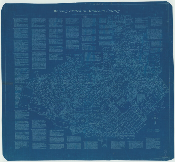
Size: 35.8 x 40.2 inches
67194
Atascosa County Working Sketch 1b
67195.tif
Print $20.00 - Digital $50.00

Atascosa County Working Sketch 1b

1908

Size: 36.2 x 39.0 inches
67195
Duval County Rolled Sketch 22
5741.tif
Print $20.00 - Digital $50.00

Duval County Rolled Sketch 22

1942

Size: 19.5 x 30.0 inches
5741
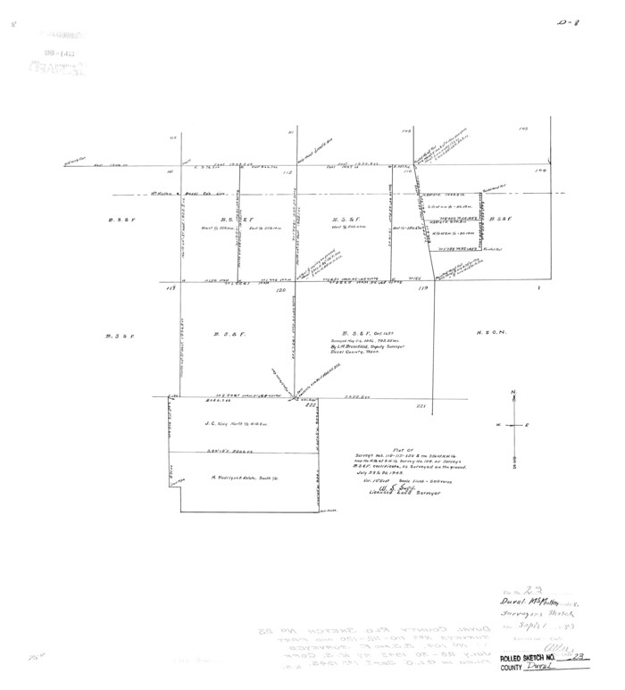
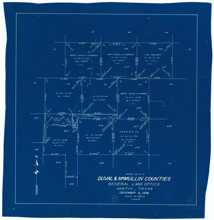
Duval County Rolled Sketch 23
5742.tif
Print $20.00 - Digital $50.00

Duval County Rolled Sketch 23

1943

Size: 23.0 x 20.9 inches
5742
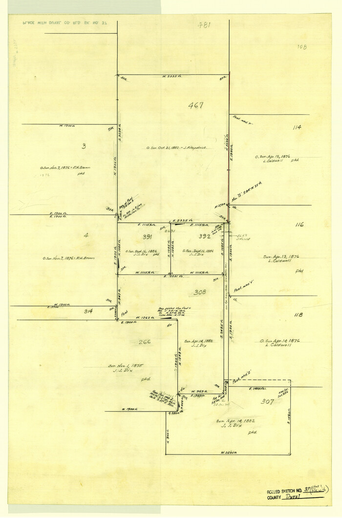
Duval County Rolled Sketch 37
5752.tif
Print $20.00 - Digital $50.00

Duval County Rolled Sketch 37

Size: 27.1 x 17.9 inches
5752
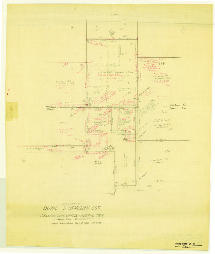
Duval County Rolled Sketch 37
5753.tif
Print $20.00 - Digital $50.00

Duval County Rolled Sketch 37

1952

Size: 29.2 x 24.6 inches
5753
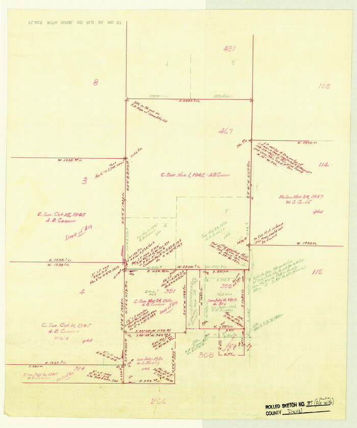
Duval County Rolled Sketch 37
5754.tif
Print $20.00 - Digital $50.00

Duval County Rolled Sketch 37

Size: 19.8 x 16.5 inches
5754
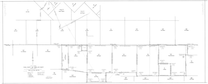
Duval County Rolled Sketch 44A
9062.tif
Print $40.00 - Digital $50.00

Duval County Rolled Sketch 44A

1981

Size: 37.8 x 91.9 inches
9062
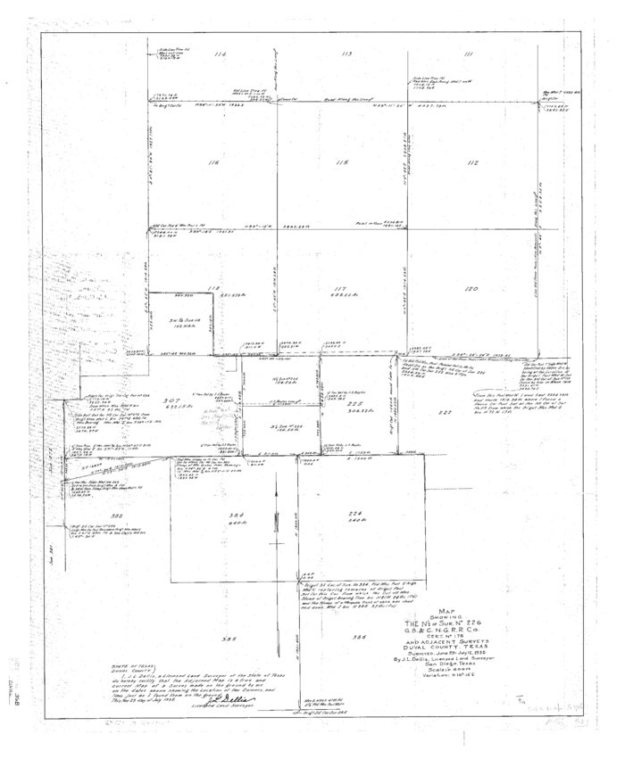
Duval County Sketch File 36b
11393, Duval County Sketch File 36b, General Map Collection
Print $60.00 - Digital $50.00

Duval County Sketch File 36b

1935

Size: 28.4 x 23.3 inches
11393
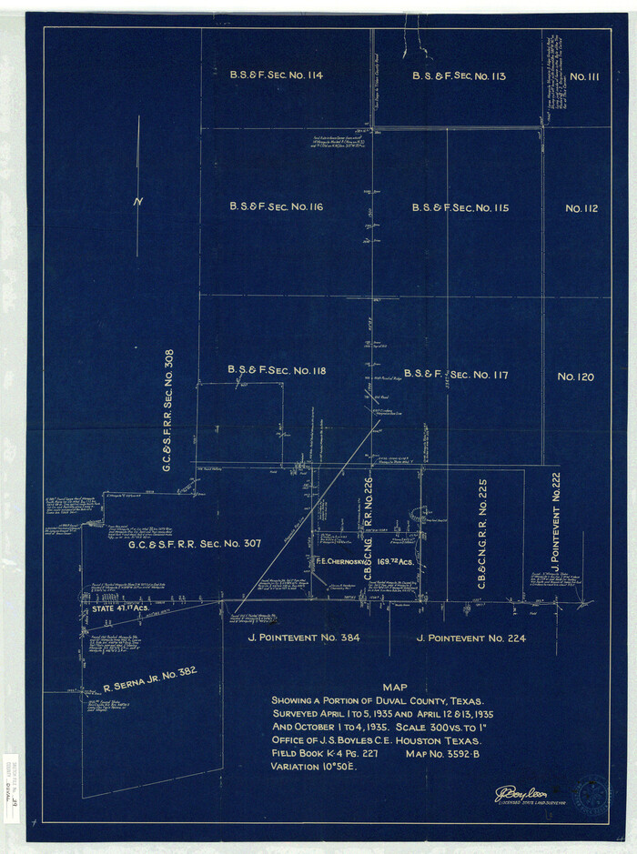
Duval County Sketch File 39
11395, Duval County Sketch File 39, General Map Collection
Print $20.00 - Digital $50.00

Duval County Sketch File 39

Size: 32.1 x 23.9 inches
11395
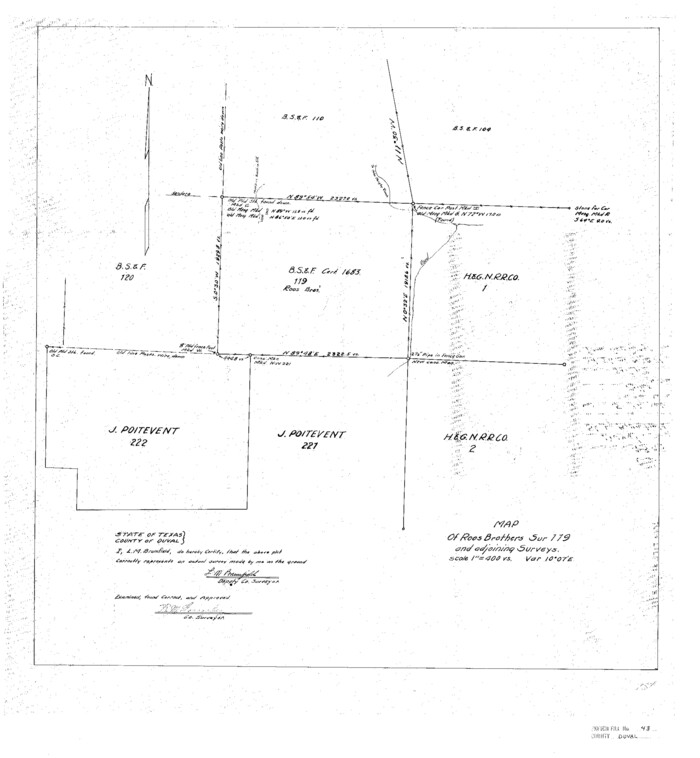
Duval County Sketch File 43
11398, Duval County Sketch File 43, General Map Collection
Print $20.00 - Digital $50.00

Duval County Sketch File 43

Size: 22.9 x 21.1 inches
11398
Duval County Sketch File 64
21438, Duval County Sketch File 64, General Map Collection
Print $6.00 - Digital $50.00

Duval County Sketch File 64

1942

Size: 14.2 x 9.0 inches
21438
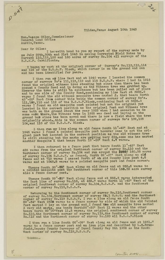
Duval County Sketch File 65
21441, Duval County Sketch File 65, General Map Collection
Print $6.00 - Digital $50.00

Duval County Sketch File 65

1943

Size: 14.4 x 9.1 inches
21441
Frio County Sketch File 16
23148, Frio County Sketch File 16, General Map Collection
Print $8.00 - Digital $50.00

Frio County Sketch File 16

1949

Size: 11.3 x 8.8 inches
23148
General Highway Map, McMullen County, Texas
79193.tif
Print $20.00

General Highway Map, McMullen County, Texas

1940

Size: 24.6 x 18.5 inches
79193
General Highway Map, McMullen County, Texas
79592.tif
Print $20.00

General Highway Map, McMullen County, Texas

1961
Size: 24.7 x 18.3 inches
79592
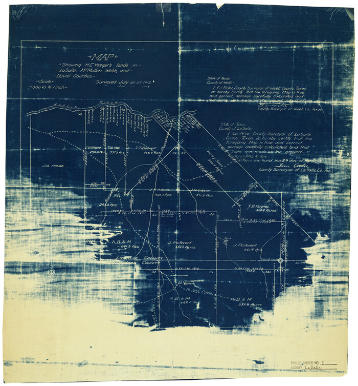
La Salle County Rolled Sketch 2
6567.tif
Print $20.00 - Digital $50.00

La Salle County Rolled Sketch 2

1915

Size: 25.2 x 23.2 inches
6567
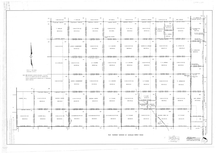
La Salle County Rolled Sketch 23
9559.tif
Print $40.00 - Digital $50.00

La Salle County Rolled Sketch 23

1956

Size: 34.5 x 48.0 inches
9559
La Salle County Rolled Sketch 23A
46481, La Salle County Rolled Sketch 23A, General Map Collection
Print $225.00 - Digital $50.00

La Salle County Rolled Sketch 23A

1956

Size: 10.0 x 15.6 inches
46481
La Salle County Rolled Sketch 25
6586.tif
Print $20.00 - Digital $50.00

La Salle County Rolled Sketch 25

Size: 20.3 x 24.4 inches
6586
La Salle County Sketch File 12
29470, La Salle County Sketch File 12, General Map Collection
Print $15.00 - Digital $50.00

La Salle County Sketch File 12

1877

Size: 10.0 x 8.1 inches
29470
La Salle County Sketch File 17 and 17 1/2
29489, La Salle County Sketch File 17 and 17 1/2, General Map Collection
Print $94.00 - Digital $50.00

La Salle County Sketch File 17 and 17 1/2

Size: 8.8 x 8.1 inches
29489
La Salle County Sketch File 19 1/2
29515, La Salle County Sketch File 19 1/2, General Map Collection
Print $28.00 - Digital $50.00

La Salle County Sketch File 19 1/2

1886

Size: 14.3 x 8.7 inches
29515
La Salle County Sketch File 20
29519, La Salle County Sketch File 20, General Map Collection
Print $34.00 - Digital $50.00

La Salle County Sketch File 20

1887

Size: 13.6 x 8.7 inches
29519
La Salle County Sketch File 20A
11984, La Salle County Sketch File 20A, General Map Collection
Print $29.00 - Digital $50.00

La Salle County Sketch File 20A

1852

Size: 19.5 x 33.6 inches
11984
La Salle County Sketch File 24
29547, La Salle County Sketch File 24, General Map Collection
Print $4.00 - Digital $50.00

La Salle County Sketch File 24

1877

Size: 9.2 x 6.1 inches
29547
La Salle County Sketch File 28
29555, La Salle County Sketch File 28, General Map Collection
Print $6.00 - Digital $50.00

La Salle County Sketch File 28

1882

Size: 8.7 x 3.6 inches
29555
Atascosa County Rolled Sketch R
5103, Atascosa County Rolled Sketch R, General Map Collection
Print $20.00 - Digital $50.00

Atascosa County Rolled Sketch R

  • Size

    19.6 x 19.6 inches

  • Map/Doc

    5103

Atascosa County Sketch File 21
10859, Atascosa County Sketch File 21, General Map Collection
Print $40.00 - Digital $50.00

Atascosa County Sketch File 21

  • Size

    20.0 x 19.8 inches

  • Map/Doc

    10859

Atascosa County Sketch File 35
10866, Atascosa County Sketch File 35, General Map Collection
Print $20.00 - Digital $50.00

Atascosa County Sketch File 35

1854

  • Size

    14.4 x 30.0 inches

  • Map/Doc

    10866

  • Creation Date

    1854

Atascosa County Working Sketch 1a
67194, Atascosa County Working Sketch 1a, General Map Collection
Print $20.00 - Digital $50.00

Atascosa County Working Sketch 1a

1908

  • Size

    35.8 x 40.2 inches

  • Map/Doc

    67194

  • Creation Date

    1908

Atascosa County Working Sketch 1b
67195, Atascosa County Working Sketch 1b, General Map Collection
Print $20.00 - Digital $50.00

Atascosa County Working Sketch 1b

1908

  • Size

    36.2 x 39.0 inches

  • Map/Doc

    67195

  • Creation Date

    1908

Duval County Rolled Sketch 22
5741, Duval County Rolled Sketch 22, General Map Collection
Print $20.00 - Digital $50.00

Duval County Rolled Sketch 22

1942

  • Size

    19.5 x 30.0 inches

  • Map/Doc

    5741

  • Creation Date

    1942

Duval County Rolled Sketch 23
5742, Duval County Rolled Sketch 23, General Map Collection
Print $20.00 - Digital $50.00

Duval County Rolled Sketch 23

1943

  • Size

    23.0 x 20.9 inches

  • Map/Doc

    5742

  • Creation Date

    1943

Duval County Rolled Sketch 37
5752, Duval County Rolled Sketch 37, General Map Collection
Print $20.00 - Digital $50.00

Duval County Rolled Sketch 37

  • Size

    27.1 x 17.9 inches

  • Map/Doc

    5752

Duval County Rolled Sketch 37
5753, Duval County Rolled Sketch 37, General Map Collection
Print $20.00 - Digital $50.00

Duval County Rolled Sketch 37

1952

  • Size

    29.2 x 24.6 inches

  • Map/Doc

    5753

  • Creation Date

    1952

Duval County Rolled Sketch 37
5754, Duval County Rolled Sketch 37, General Map Collection
Print $20.00 - Digital $50.00

Duval County Rolled Sketch 37

  • Size

    19.8 x 16.5 inches

  • Map/Doc

    5754

Duval County Rolled Sketch 44A
9062, Duval County Rolled Sketch 44A, General Map Collection
Print $40.00 - Digital $50.00

Duval County Rolled Sketch 44A

1981

  • Size

    37.8 x 91.9 inches

  • Map/Doc

    9062

  • Creation Date

    1981

Duval County Sketch File 36b
11393, Duval County Sketch File 36b, General Map Collection
Print $60.00 - Digital $50.00

Duval County Sketch File 36b

1935

  • Size

    28.4 x 23.3 inches

  • Map/Doc

    11393

  • Creation Date

    1935

Duval County Sketch File 39
11395, Duval County Sketch File 39, General Map Collection
Print $20.00 - Digital $50.00

Duval County Sketch File 39

  • Size

    32.1 x 23.9 inches

  • Map/Doc

    11395

Duval County Sketch File 43
11398, Duval County Sketch File 43, General Map Collection
Print $20.00 - Digital $50.00

Duval County Sketch File 43

  • Size

    22.9 x 21.1 inches

  • Map/Doc

    11398

Duval County Sketch File 64
21438, Duval County Sketch File 64, General Map Collection
Print $6.00 - Digital $50.00

Duval County Sketch File 64

1942

  • Size

    14.2 x 9.0 inches

  • Map/Doc

    21438

  • Creation Date

    1942

Duval County Sketch File 65
21441, Duval County Sketch File 65, General Map Collection
Print $6.00 - Digital $50.00

Duval County Sketch File 65

1943

  • Size

    14.4 x 9.1 inches

  • Map/Doc

    21441

  • Creation Date

    1943

Frio County Sketch File 16
23148, Frio County Sketch File 16, General Map Collection
Print $8.00 - Digital $50.00

Frio County Sketch File 16

1949

  • Size

    11.3 x 8.8 inches

  • Map/Doc

    23148

  • Creation Date

    1949

General Highway Map, McMullen County, Texas
79193, General Highway Map, McMullen County, Texas, Texas State Library and Archives
Print $20.00

General Highway Map, McMullen County, Texas

1940

  • Size

    24.6 x 18.5 inches

  • Map/Doc

    79193

  • Creation Date

    1940

General Highway Map, McMullen County, Texas
79592, General Highway Map, McMullen County, Texas, Texas State Library and Archives
Print $20.00

General Highway Map, McMullen County, Texas

1961

  • Size

    24.7 x 18.3 inches

  • Map/Doc

    79592

  • Creation Date

    1961

La Salle County Rolled Sketch 2
6567, La Salle County Rolled Sketch 2, General Map Collection
Print $20.00 - Digital $50.00

La Salle County Rolled Sketch 2

1915

  • Size

    25.2 x 23.2 inches

  • Map/Doc

    6567

  • Creation Date

    1915

La Salle County Rolled Sketch 23
9559, La Salle County Rolled Sketch 23, General Map Collection
Print $40.00 - Digital $50.00

La Salle County Rolled Sketch 23

1956

  • Size

    34.5 x 48.0 inches

  • Map/Doc

    9559

  • Creation Date

    1956

La Salle County Rolled Sketch 23A
46481, La Salle County Rolled Sketch 23A, General Map Collection
Print $225.00 - Digital $50.00

La Salle County Rolled Sketch 23A

1956

  • Size

    10.0 x 15.6 inches

  • Map/Doc

    46481

  • Creation Date

    1956

La Salle County Rolled Sketch 25
6586, La Salle County Rolled Sketch 25, General Map Collection
Print $20.00 - Digital $50.00

La Salle County Rolled Sketch 25

  • Size

    20.3 x 24.4 inches

  • Map/Doc

    6586

La Salle County Sketch File 12
29470, La Salle County Sketch File 12, General Map Collection
Print $15.00 - Digital $50.00

La Salle County Sketch File 12

1877

  • Size

    10.0 x 8.1 inches

  • Map/Doc

    29470

  • Creation Date

    1877

La Salle County Sketch File 17 and 17 1/2
29489, La Salle County Sketch File 17 and 17 1/2, General Map Collection
Print $94.00 - Digital $50.00

La Salle County Sketch File 17 and 17 1/2

  • Size

    8.8 x 8.1 inches

  • Map/Doc

    29489

La Salle County Sketch File 19 1/2
29515, La Salle County Sketch File 19 1/2, General Map Collection
Print $28.00 - Digital $50.00

La Salle County Sketch File 19 1/2

1886

  • Size

    14.3 x 8.7 inches

  • Map/Doc

    29515

  • Creation Date

    1886

La Salle County Sketch File 20
29519, La Salle County Sketch File 20, General Map Collection
Print $34.00 - Digital $50.00

La Salle County Sketch File 20

1887

  • Size

    13.6 x 8.7 inches

  • Map/Doc

    29519

  • Creation Date

    1887

La Salle County Sketch File 20A
11984, La Salle County Sketch File 20A, General Map Collection
Print $29.00 - Digital $50.00

La Salle County Sketch File 20A

1852

  • Size

    19.5 x 33.6 inches

  • Map/Doc

    11984

  • Creation Date

    1852

La Salle County Sketch File 24
29547, La Salle County Sketch File 24, General Map Collection
Print $4.00 - Digital $50.00

La Salle County Sketch File 24

1877

  • Size

    9.2 x 6.1 inches

  • Map/Doc

    29547

  • Creation Date

    1877

La Salle County Sketch File 28
29555, La Salle County Sketch File 28, General Map Collection
Print $6.00 - Digital $50.00

La Salle County Sketch File 28

1882

  • Size

    8.7 x 3.6 inches

  • Map/Doc

    29555

  • Creation Date

    1882