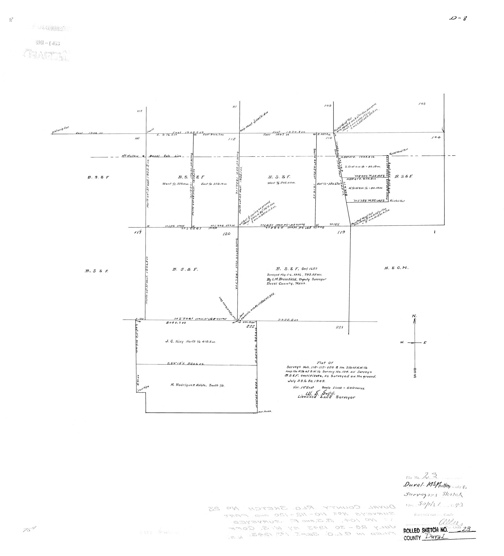
Duval County Rolled Sketch 23
Plat of surveys nos. 110-112-120 & the S 1/2 of NW 1/4 and the N 1/2 of SW 1/4 survey no. 104, all surveys B. S. & F. certificates as surveyed on the ground
-
Map/Doc
5742
-
Collection
General Map Collection
-
Object Dates
1943/7/30 (Creation Date)
1943/9/1 (File Date)
-
People and Organizations
W.S. Goff (Surveyor/Engineer)
-
Counties
Duval McMullen
-
Subjects
Surveying Rolled Sketch
-
Height x Width
23.0 x 20.9 inches
58.4 x 53.1 cm
-
Scale
1" = 600 varas
Part of: General Map Collection
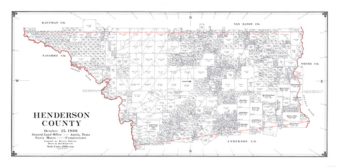
Henderson County

Print $40.00
- Digital $50.00
Henderson County
1988
Size 34.6 x 68.7 inches
Map/Doc 73178
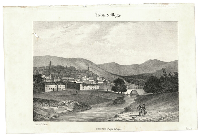
Houston, (Capital de Tejas)

Print $20.00
- Digital $50.00
Houston, (Capital de Tejas)
1845
Size 6.8 x 10.0 inches
Map/Doc 97238
Nueces County Rolled Sketch 53

Print $63.00
- Digital $50.00
Nueces County Rolled Sketch 53
1978
Size 10.1 x 15.1 inches
Map/Doc 47862
Starr County Sketch File 49
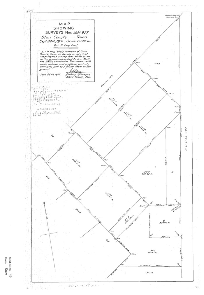

Print $20.00
- Digital $50.00
Starr County Sketch File 49
1951
Size 24.9 x 17.2 inches
Map/Doc 12346
El Paso County Rolled Sketch 46A
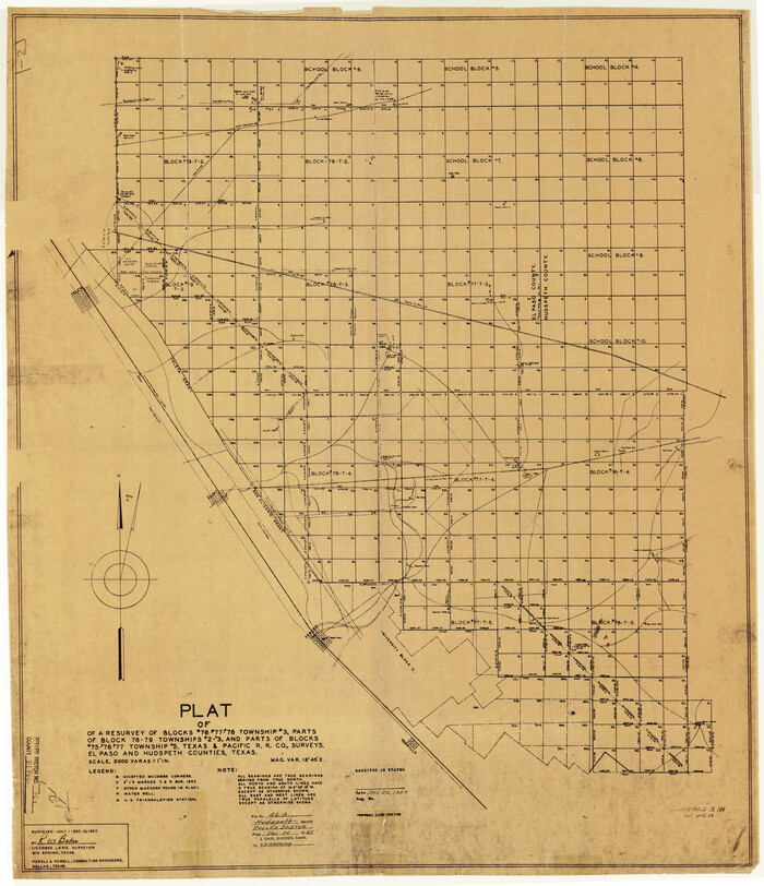

Print $20.00
- Digital $50.00
El Paso County Rolled Sketch 46A
1937
Size 35.1 x 30.2 inches
Map/Doc 5833
Tarrant County Working Sketch 9
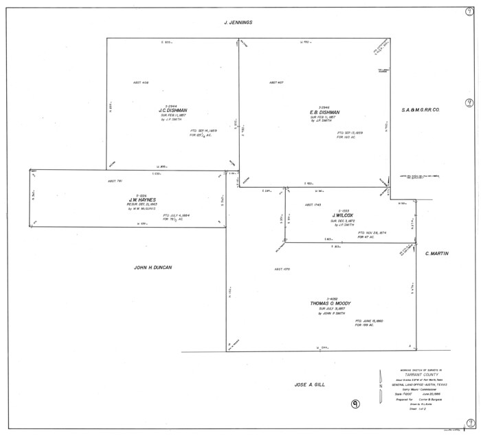

Print $20.00
- Digital $50.00
Tarrant County Working Sketch 9
1986
Size 38.1 x 42.1 inches
Map/Doc 62426
Kent County Boundary File 9


Print $8.00
- Digital $50.00
Kent County Boundary File 9
Size 14.1 x 8.8 inches
Map/Doc 55883
Hudspeth County Rolled Sketch 69


Print $20.00
- Digital $50.00
Hudspeth County Rolled Sketch 69
1973
Size 12.2 x 20.8 inches
Map/Doc 7717
Reagan County Sketch File 35
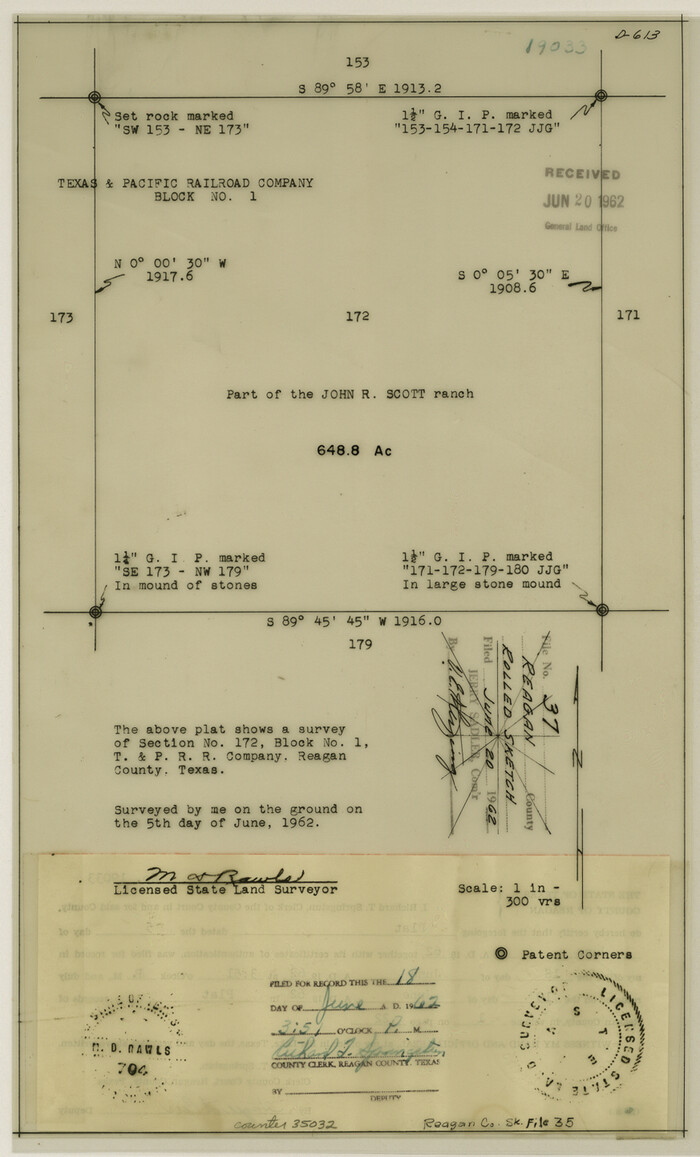

Print $6.00
- Digital $50.00
Reagan County Sketch File 35
1962
Size 14.4 x 8.7 inches
Map/Doc 35032
Flight Mission No. DQN-1K, Frame 124, Calhoun County
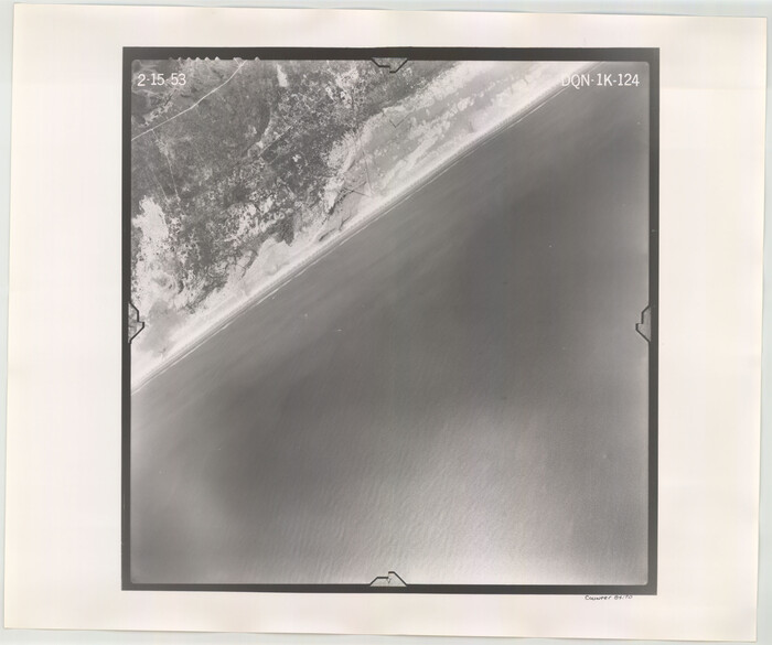

Print $20.00
- Digital $50.00
Flight Mission No. DQN-1K, Frame 124, Calhoun County
1953
Size 18.7 x 22.4 inches
Map/Doc 84190
Flight Mission No. BQR-5K, Frame 66, Brazoria County
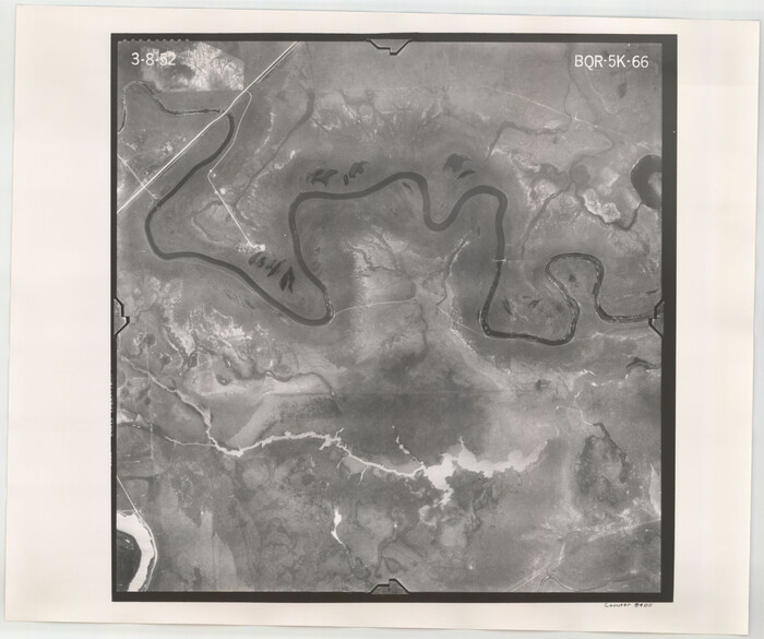

Print $20.00
- Digital $50.00
Flight Mission No. BQR-5K, Frame 66, Brazoria County
1952
Size 18.8 x 22.5 inches
Map/Doc 84011
Presidio County Rolled Sketch 21
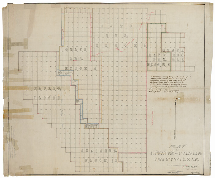

Print $20.00
- Digital $50.00
Presidio County Rolled Sketch 21
1885
Size 35.5 x 42.8 inches
Map/Doc 9764
You may also like
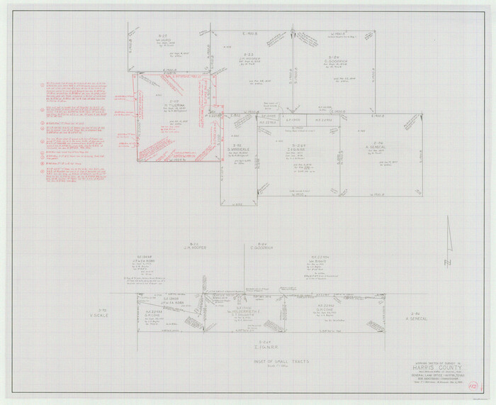
Harris County Working Sketch 112

Print $20.00
- Digital $50.00
Harris County Working Sketch 112
1982
Size 31.0 x 38.1 inches
Map/Doc 66004
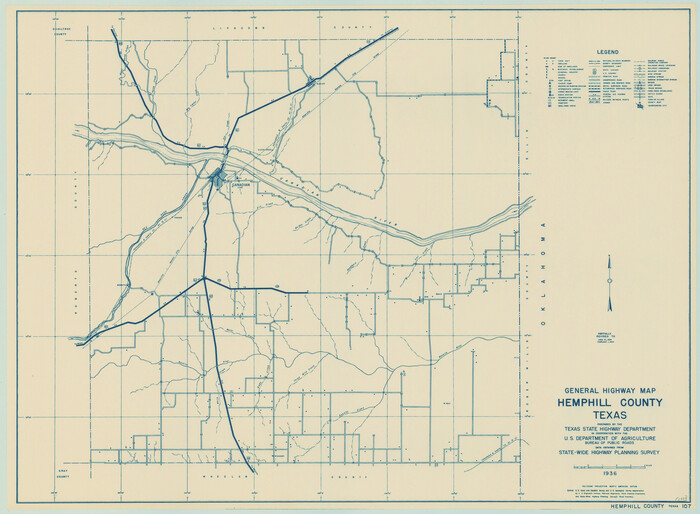
General Highway Map, Hemphill County, Texas

Print $20.00
General Highway Map, Hemphill County, Texas
1940
Size 18.2 x 24.8 inches
Map/Doc 79124
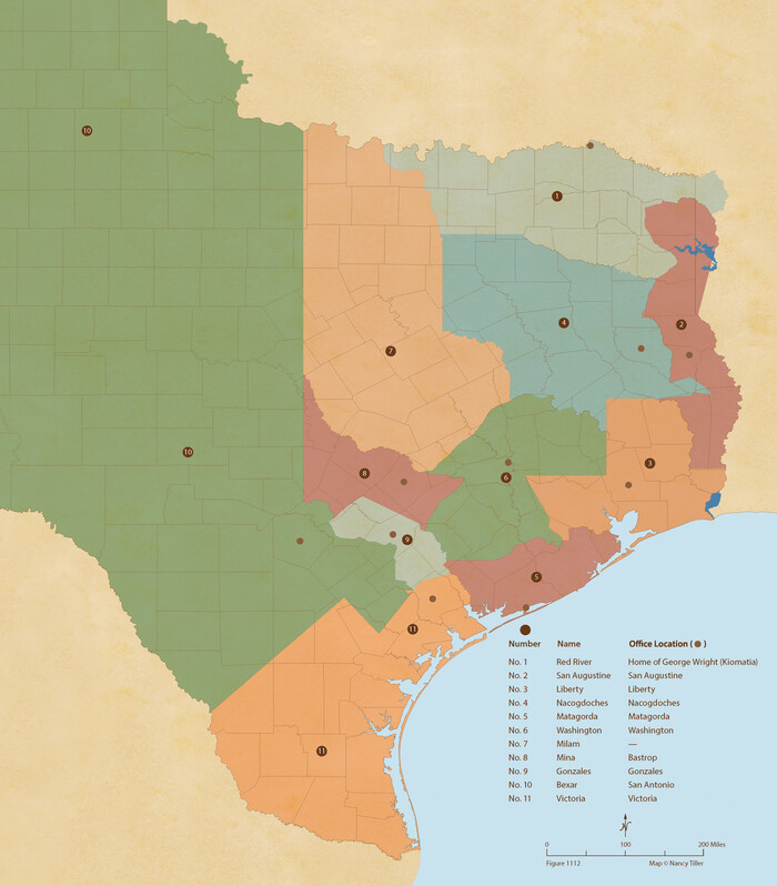
The Land Offices. December 22, 1836

Print $20.00
The Land Offices. December 22, 1836
2020
Size 24.7 x 21.7 inches
Map/Doc 96425
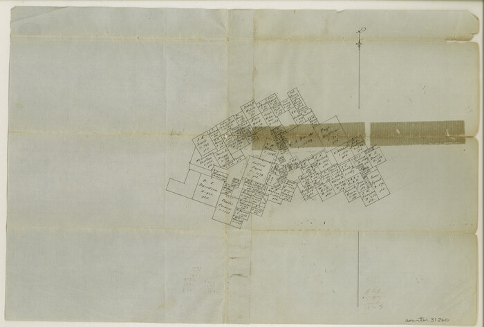
McLennan County Sketch File 10

Print $6.00
- Digital $50.00
McLennan County Sketch File 10
1861
Size 10.3 x 15.2 inches
Map/Doc 31260
Highland Lakes of Central Texas
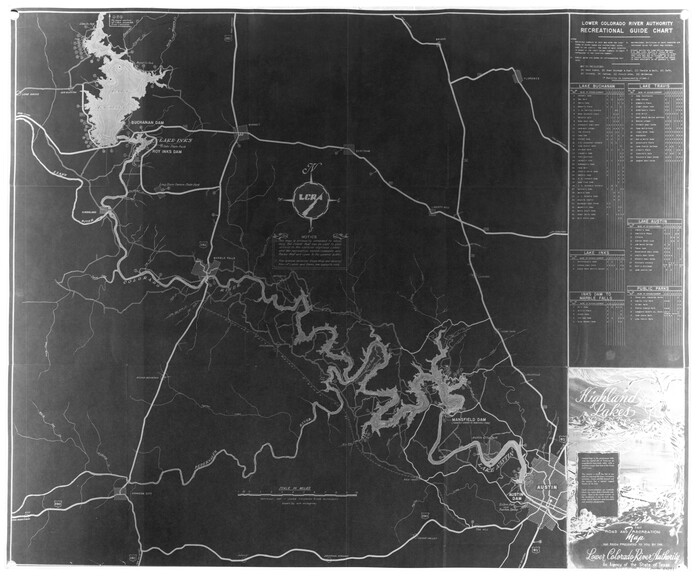

Print $20.00
- Digital $50.00
Highland Lakes of Central Texas
1947
Size 18.2 x 21.9 inches
Map/Doc 60291
Mason County Working Sketch 21
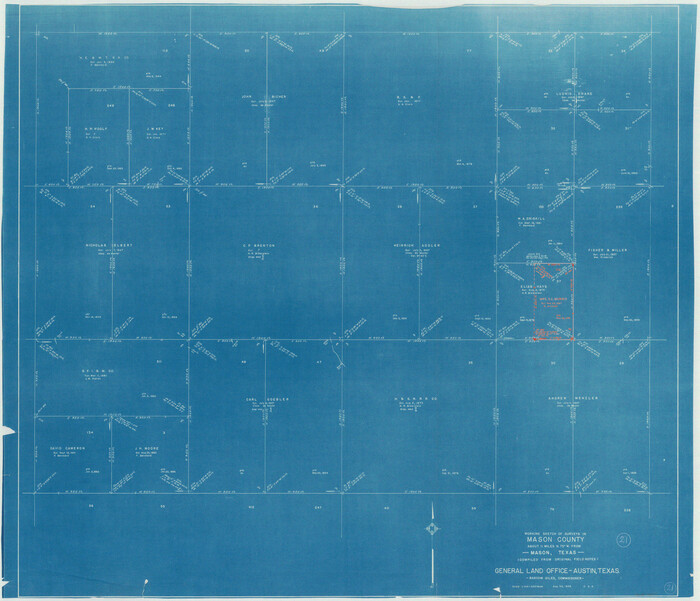

Print $20.00
- Digital $50.00
Mason County Working Sketch 21
1945
Size 37.1 x 43.2 inches
Map/Doc 70857
Robertson County Working Sketch 21
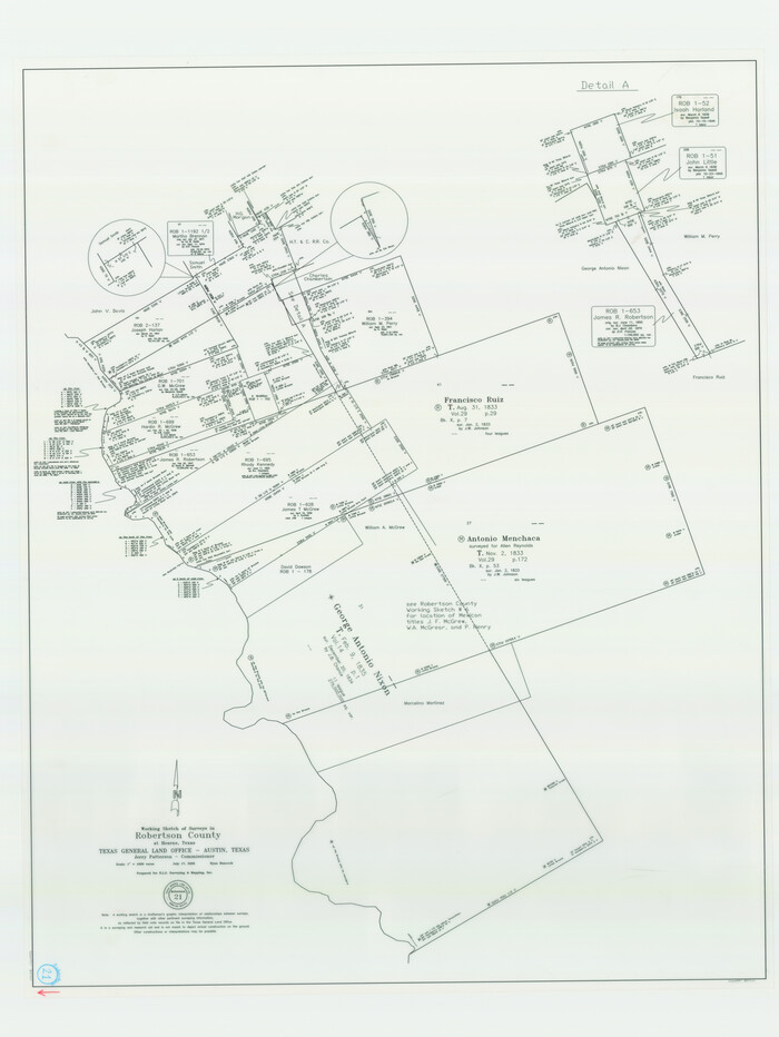

Print $20.00
- Digital $50.00
Robertson County Working Sketch 21
2006
Size 44.0 x 33.1 inches
Map/Doc 84701
Floyd County Boundary File 2b


Print $40.00
- Digital $50.00
Floyd County Boundary File 2b
Size 38.9 x 20.1 inches
Map/Doc 53490
Rhyne Simpson Quirt Avenue Addition to the City of Lubbock
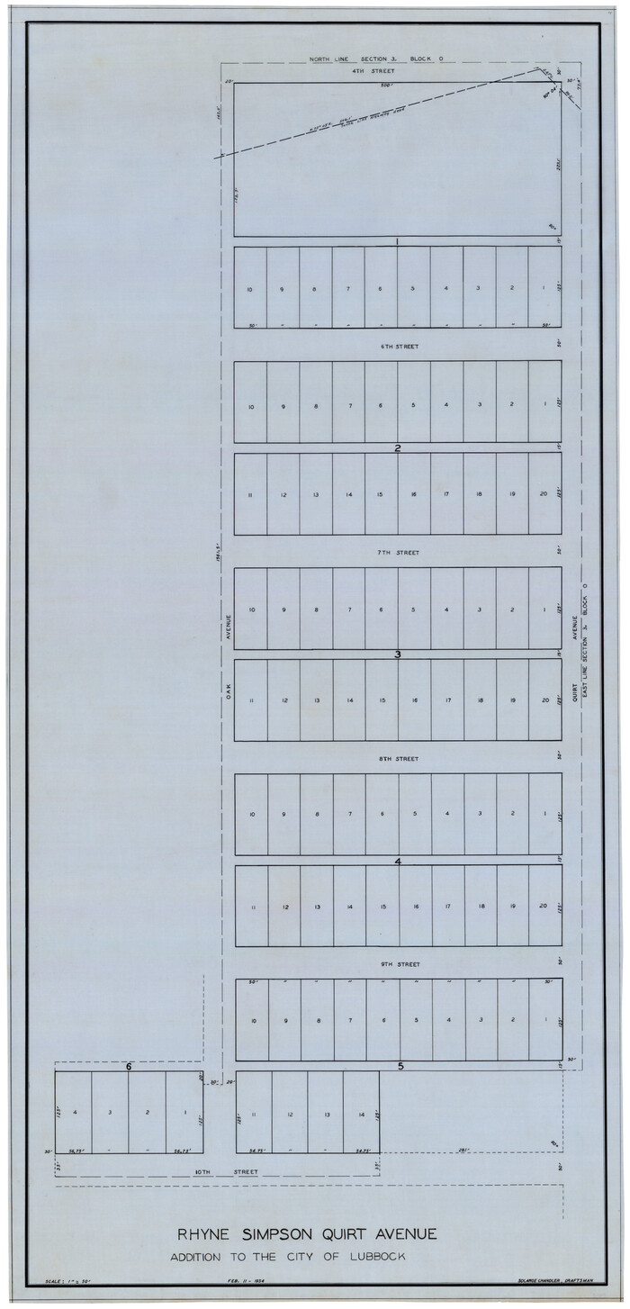

Print $20.00
- Digital $50.00
Rhyne Simpson Quirt Avenue Addition to the City of Lubbock
1954
Size 19.3 x 40.5 inches
Map/Doc 92877
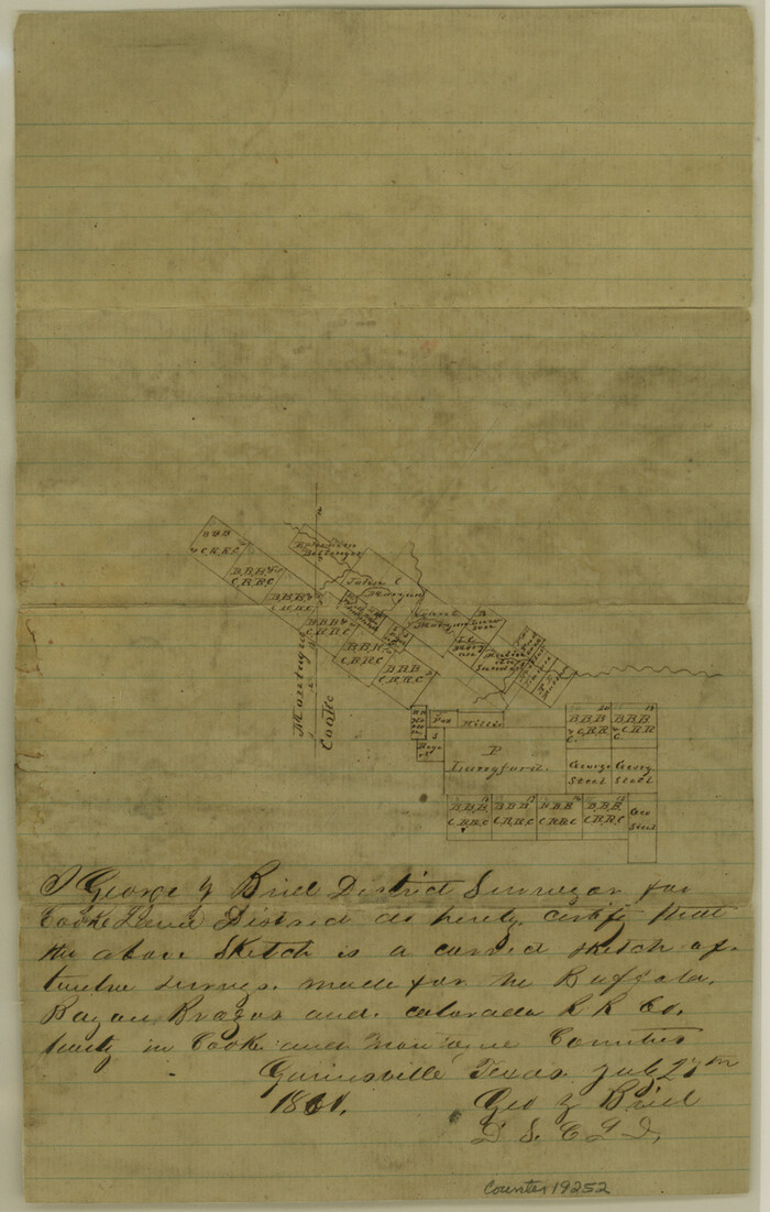
Cooke County Sketch File 16-17-18

Print $16.00
- Digital $50.00
Cooke County Sketch File 16-17-18
1860
Size 12.7 x 8.1 inches
Map/Doc 19252
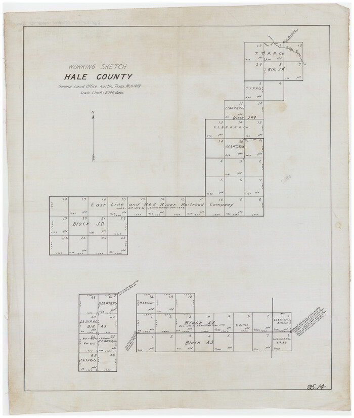
Working Sketch Hale County

Print $20.00
- Digital $50.00
Working Sketch Hale County
1909
Size 17.9 x 20.9 inches
Map/Doc 90745
