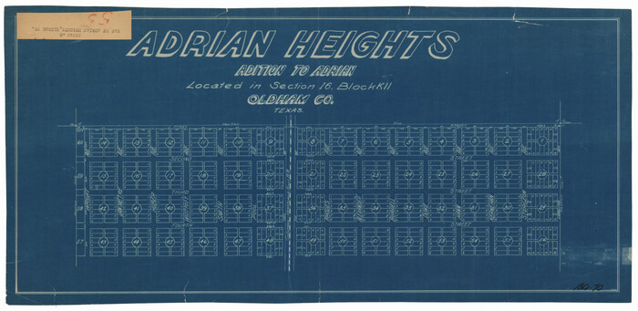
Adrian Heights Addition to Adrian, Located in Section 16, Block K11, Oldham County, Texas

Print $20.00
- Digital $50.00
Adrian Heights Addition to Adrian, Located in Section 16, Block K11, Oldham County, Texas
Size: 23.8 x 11.6 inches
91437
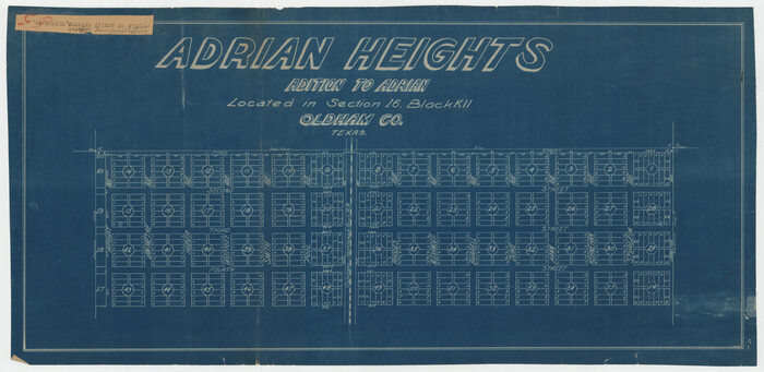
Adrian Heights Adition (sic) to Adrian Located in Section 16, Block K11

Print $2.00
- Digital $50.00
Adrian Heights Adition (sic) to Adrian Located in Section 16, Block K11
Size: 15.6 x 7.7 inches
92096
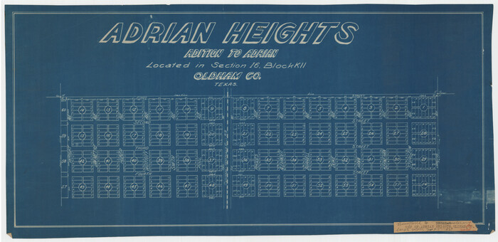
Adrian Heights Adition (sic) to Adrian Located in Section 16, Block K11

Print $2.00
- Digital $50.00
Adrian Heights Adition (sic) to Adrian Located in Section 16, Block K11
Size: 15.6 x 7.6 inches
92097
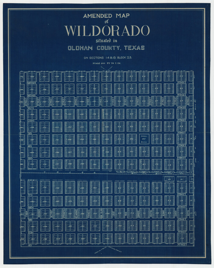
Amended Map of Wildorado Situated in Oldham County, Texas on Sections 14 & 15 Block Z3

Print $20.00
- Digital $50.00
Amended Map of Wildorado Situated in Oldham County, Texas on Sections 14 & 15 Block Z3
Size: 14.9 x 18.4 inches
92095
Amended and Corrected Map of Adrian and Adrian Heights Addition Situated in Oldham County, Texas on Sections 14, 15, 38, 39 and 16 Respectively
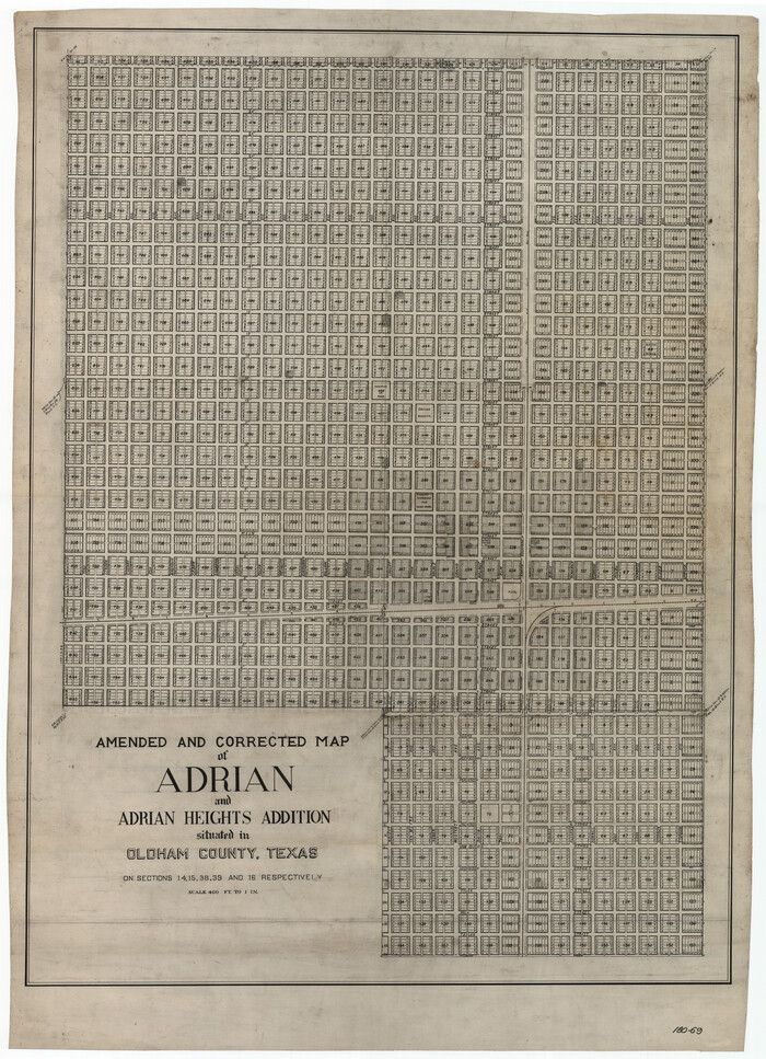

Print $20.00
- Digital $50.00
Amended and Corrected Map of Adrian and Adrian Heights Addition Situated in Oldham County, Texas on Sections 14, 15, 38, 39 and 16 Respectively
Size: 31.5 x 43.5 inches
89801
Block D, Capitol Syndicate Subdivision of Portions of Capitol Land Reservation Leagues Number 333, 333 1/2, 336, and 345 1/2]
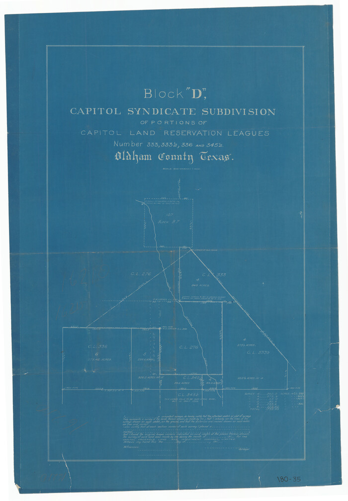

Print $20.00
- Digital $50.00
Block D, Capitol Syndicate Subdivision of Portions of Capitol Land Reservation Leagues Number 333, 333 1/2, 336, and 345 1/2]
Size: 19.3 x 28.1 inches
91455
Bravo Deed, Instrument 24, Tract A and Tract B
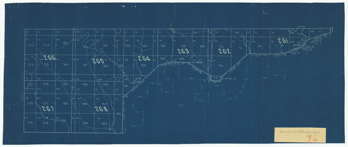

Print $20.00
- Digital $50.00
Bravo Deed, Instrument 24, Tract A and Tract B
Size: 33.4 x 14.3 inches
91434
Bravo Deed, Instrument 24, Tract A and Tract B
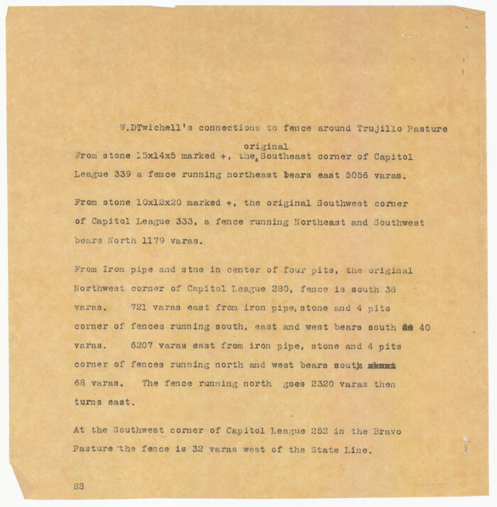

Print $3.00
- Digital $50.00
Bravo Deed, Instrument 24, Tract A and Tract B
Size: 9.3 x 9.4 inches
91477
Bravo Deed, Instrument 24, Tract A and Tract B


Print $3.00
- Digital $50.00
Bravo Deed, Instrument 24, Tract A and Tract B
Size: 10.6 x 13.2 inches
91478
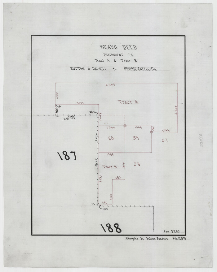
Bravo Deed, Instrument 24, Tract A and Tract B

Print $3.00
- Digital $50.00
Bravo Deed, Instrument 24, Tract A and Tract B
Size: 11.4 x 14.2 inches
91479
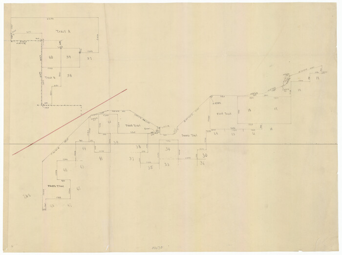
Bravo Deed, Instrument 24, Tract A and Tract B

Digital $50.00
Bravo Deed, Instrument 24, Tract A and Tract B
91480
Bravo Ranch situated in Hartley and Oldham Counties, Texas


Print $40.00
- Digital $50.00
Bravo Ranch situated in Hartley and Oldham Counties, Texas
Size: 38.8 x 51.3 inches
89930
Capitol Land Reservation


Print $20.00
- Digital $50.00
Capitol Land Reservation
1880
Size: 43.7 x 34.2 inches
10745
Capitol Land Reservation


Print $40.00
- Digital $50.00
Capitol Land Reservation
1882
Size: 51.4 x 18.0 inches
76175
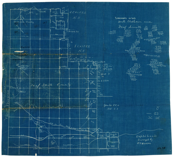
Capitol Lands Surveyed by J. T. Munson

Print $20.00
- Digital $50.00
Capitol Lands Surveyed by J. T. Munson
Size: 14.3 x 13.0 inches
90511
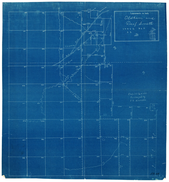
Capitol Lands Surveyed by J. T. Munson

Print $20.00
- Digital $50.00
Capitol Lands Surveyed by J. T. Munson
Size: 15.5 x 16.7 inches
90524
Capitol Lands Surveyed by J. T. Munson
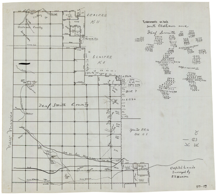

Print $20.00
- Digital $50.00
Capitol Lands Surveyed by J. T. Munson
Size: 22.0 x 19.5 inches
90604
Chicago, Rock Island, Texas & Mexico


Print $40.00
- Digital $50.00
Chicago, Rock Island, Texas & Mexico
1920
Size: 24.8 x 122.0 inches
64421
Dallam County Sketch File 2


Print $260.00
- Digital $50.00
Dallam County Sketch File 2
1886
Size: 29.9 x 17.4 inches
11278
Dallam County Sketch File 5


Print $22.00
- Digital $50.00
Dallam County Sketch File 5
1880
Size: 14.2 x 8.8 inches
20339
Deaf Smith County Sketch File 1 1/2
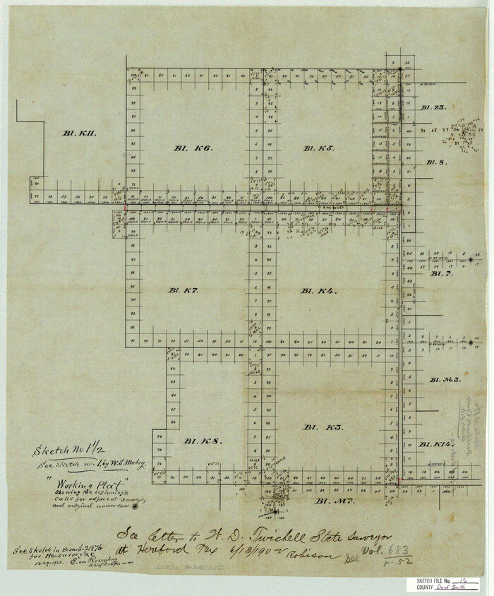

Print $20.00
- Digital $50.00
Deaf Smith County Sketch File 1 1/2
Size: 20.7 x 17.1 inches
11302
Deaf Smith County Sketch File 1b
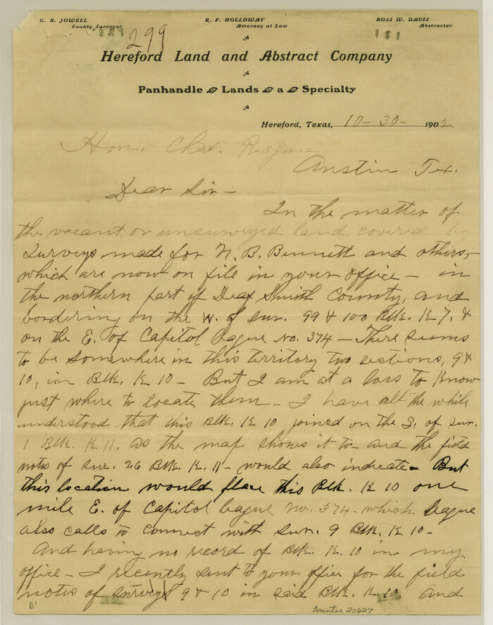

Print $24.00
- Digital $50.00
Deaf Smith County Sketch File 1b
1902
Size: 11.3 x 8.9 inches
20627
Deaf Smith County Sketch File 5
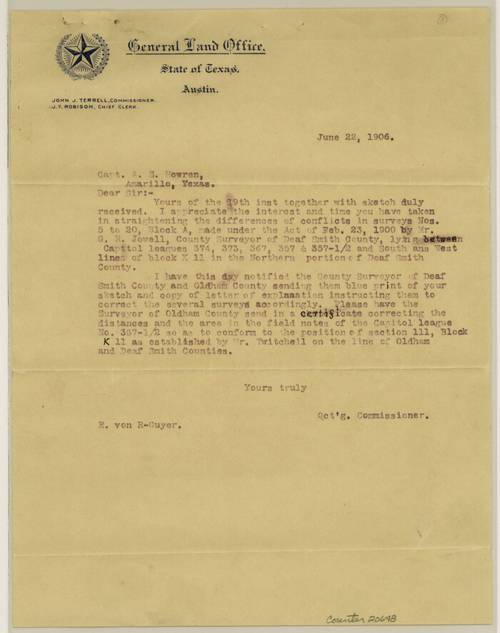

Print $9.00
- Digital $50.00
Deaf Smith County Sketch File 5
1905
Size: 11.3 x 8.9 inches
20648
Deaf Smith County Sketch File 6


Print $12.00
- Digital $50.00
Deaf Smith County Sketch File 6
1912
Size: 7.0 x 7.4 inches
20658
Deaf Smith County Sketch File D
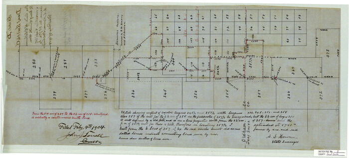

Print $20.00
- Digital $50.00
Deaf Smith County Sketch File D
Size: 12.6 x 27.7 inches
11306
Deaf Smith County Sketch File E
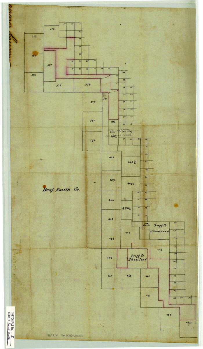

Print $20.00
- Digital $50.00
Deaf Smith County Sketch File E
Size: 22.3 x 12.9 inches
11308
Deaf Smith County Sketch File Z


Print $34.00
- Digital $50.00
Deaf Smith County Sketch File Z
1903
Size: 9.6 x 4.7 inches
20651
General Highway Map, Oldham County, Deaf Smith County, Texas
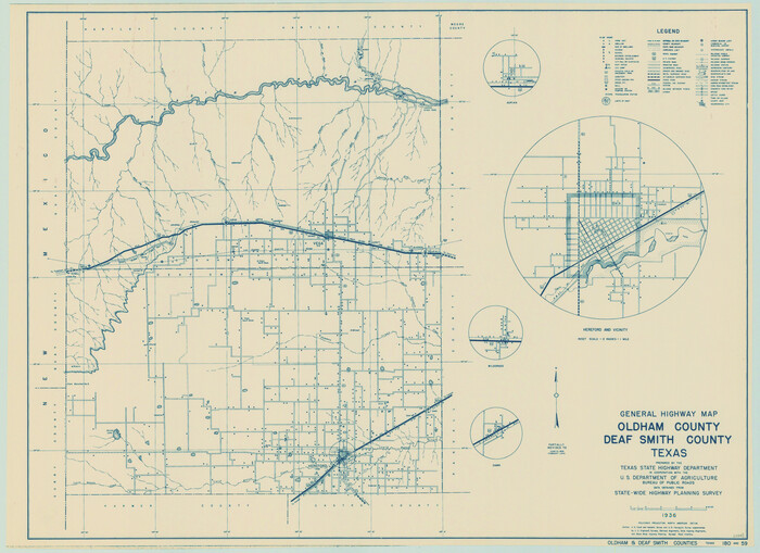

Print $20.00
General Highway Map, Oldham County, Deaf Smith County, Texas
1940
Size: 18.3 x 25.2 inches
79072
General Highway Map, Oldham County, Texas
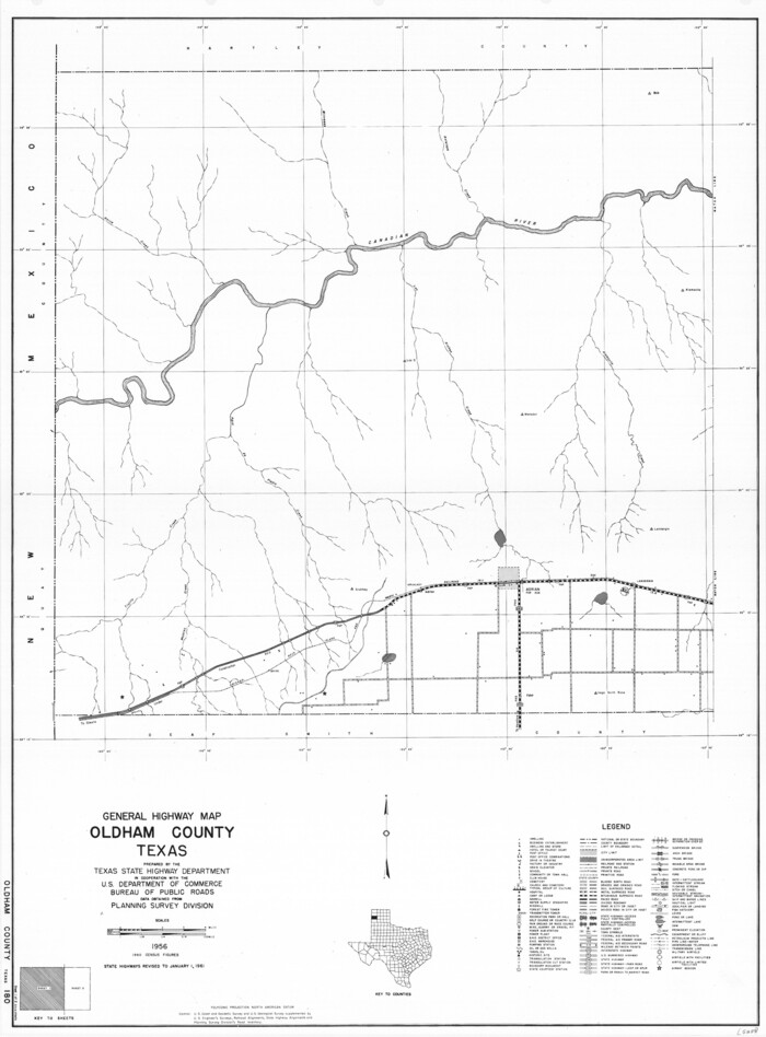

Print $20.00
General Highway Map, Oldham County, Texas
1961
Size: 24.5 x 18.1 inches
79619
Adrian Heights Addition to Adrian, Located in Section 16, Block K11, Oldham County, Texas


Print $20.00
- Digital $50.00
Adrian Heights Addition to Adrian, Located in Section 16, Block K11, Oldham County, Texas
-
Size
23.8 x 11.6 inches
-
Map/Doc
91437
Adrian Heights Adition (sic) to Adrian Located in Section 16, Block K11


Print $2.00
- Digital $50.00
Adrian Heights Adition (sic) to Adrian Located in Section 16, Block K11
-
Size
15.6 x 7.7 inches
-
Map/Doc
92096
Adrian Heights Adition (sic) to Adrian Located in Section 16, Block K11


Print $2.00
- Digital $50.00
Adrian Heights Adition (sic) to Adrian Located in Section 16, Block K11
-
Size
15.6 x 7.6 inches
-
Map/Doc
92097
Amended Map of Wildorado Situated in Oldham County, Texas on Sections 14 & 15 Block Z3


Print $20.00
- Digital $50.00
Amended Map of Wildorado Situated in Oldham County, Texas on Sections 14 & 15 Block Z3
-
Size
14.9 x 18.4 inches
-
Map/Doc
92095
Amended and Corrected Map of Adrian and Adrian Heights Addition Situated in Oldham County, Texas on Sections 14, 15, 38, 39 and 16 Respectively


Print $20.00
- Digital $50.00
Amended and Corrected Map of Adrian and Adrian Heights Addition Situated in Oldham County, Texas on Sections 14, 15, 38, 39 and 16 Respectively
-
Size
31.5 x 43.5 inches
-
Map/Doc
89801
Block D, Capitol Syndicate Subdivision of Portions of Capitol Land Reservation Leagues Number 333, 333 1/2, 336, and 345 1/2]
![91455, Block D, Capitol Syndicate Subdivision of Portions of Capitol Land Reservation Leagues Number 333, 333 1/2, 336, and 345 1/2], Twichell Survey Records](https://historictexasmaps.com/wmedia_w700/maps/91455-1.tif.jpg)
![91455, Block D, Capitol Syndicate Subdivision of Portions of Capitol Land Reservation Leagues Number 333, 333 1/2, 336, and 345 1/2], Twichell Survey Records](https://historictexasmaps.com/wmedia_w700/maps/91455-1.tif.jpg)
Print $20.00
- Digital $50.00
Block D, Capitol Syndicate Subdivision of Portions of Capitol Land Reservation Leagues Number 333, 333 1/2, 336, and 345 1/2]
-
Size
19.3 x 28.1 inches
-
Map/Doc
91455
Bravo Deed, Instrument 24, Tract A and Tract B


Print $20.00
- Digital $50.00
Bravo Deed, Instrument 24, Tract A and Tract B
-
Size
33.4 x 14.3 inches
-
Map/Doc
91434
Bravo Deed, Instrument 24, Tract A and Tract B


Print $3.00
- Digital $50.00
Bravo Deed, Instrument 24, Tract A and Tract B
-
Size
9.3 x 9.4 inches
-
Map/Doc
91477
Bravo Deed, Instrument 24, Tract A and Tract B


Print $3.00
- Digital $50.00
Bravo Deed, Instrument 24, Tract A and Tract B
-
Size
10.6 x 13.2 inches
-
Map/Doc
91478
Bravo Deed, Instrument 24, Tract A and Tract B


Print $3.00
- Digital $50.00
Bravo Deed, Instrument 24, Tract A and Tract B
-
Size
11.4 x 14.2 inches
-
Map/Doc
91479
Bravo Deed, Instrument 24, Tract A and Tract B


Digital $50.00
Bravo Deed, Instrument 24, Tract A and Tract B
-
Map/Doc
91480
Bravo Ranch situated in Hartley and Oldham Counties, Texas


Print $40.00
- Digital $50.00
Bravo Ranch situated in Hartley and Oldham Counties, Texas
-
Size
38.8 x 51.3 inches
-
Map/Doc
89930
Capitol Land Reservation


Print $20.00
- Digital $50.00
Capitol Land Reservation
1880
-
Size
43.7 x 34.2 inches
-
Map/Doc
10745
-
Creation Date
1880
Capitol Land Reservation


Print $40.00
- Digital $50.00
Capitol Land Reservation
1882
-
Size
51.4 x 18.0 inches
-
Map/Doc
76175
-
Creation Date
1882
Capitol Lands Surveyed by J. T. Munson


Print $20.00
- Digital $50.00
Capitol Lands Surveyed by J. T. Munson
-
Size
14.3 x 13.0 inches
-
Map/Doc
90511
Capitol Lands Surveyed by J. T. Munson


Print $20.00
- Digital $50.00
Capitol Lands Surveyed by J. T. Munson
-
Size
15.5 x 16.7 inches
-
Map/Doc
90524
Capitol Lands Surveyed by J. T. Munson


Print $20.00
- Digital $50.00
Capitol Lands Surveyed by J. T. Munson
-
Size
22.0 x 19.5 inches
-
Map/Doc
90604
Chicago, Rock Island, Texas & Mexico


Print $40.00
- Digital $50.00
Chicago, Rock Island, Texas & Mexico
1920
-
Size
24.8 x 122.0 inches
-
Map/Doc
64421
-
Creation Date
1920
Dallam County Sketch File 2


Print $260.00
- Digital $50.00
Dallam County Sketch File 2
1886
-
Size
29.9 x 17.4 inches
-
Map/Doc
11278
-
Creation Date
1886
Dallam County Sketch File 5


Print $22.00
- Digital $50.00
Dallam County Sketch File 5
1880
-
Size
14.2 x 8.8 inches
-
Map/Doc
20339
-
Creation Date
1880
Deaf Smith County Sketch File 1 1/2


Print $20.00
- Digital $50.00
Deaf Smith County Sketch File 1 1/2
-
Size
20.7 x 17.1 inches
-
Map/Doc
11302
Deaf Smith County Sketch File 1b


Print $24.00
- Digital $50.00
Deaf Smith County Sketch File 1b
1902
-
Size
11.3 x 8.9 inches
-
Map/Doc
20627
-
Creation Date
1902
Deaf Smith County Sketch File 5


Print $9.00
- Digital $50.00
Deaf Smith County Sketch File 5
1905
-
Size
11.3 x 8.9 inches
-
Map/Doc
20648
-
Creation Date
1905
Deaf Smith County Sketch File 6


Print $12.00
- Digital $50.00
Deaf Smith County Sketch File 6
1912
-
Size
7.0 x 7.4 inches
-
Map/Doc
20658
-
Creation Date
1912
Deaf Smith County Sketch File D


Print $20.00
- Digital $50.00
Deaf Smith County Sketch File D
-
Size
12.6 x 27.7 inches
-
Map/Doc
11306
Deaf Smith County Sketch File E


Print $20.00
- Digital $50.00
Deaf Smith County Sketch File E
-
Size
22.3 x 12.9 inches
-
Map/Doc
11308
Deaf Smith County Sketch File Z


Print $34.00
- Digital $50.00
Deaf Smith County Sketch File Z
1903
-
Size
9.6 x 4.7 inches
-
Map/Doc
20651
-
Creation Date
1903
General Highway Map, Oldham County, Deaf Smith County, Texas


Print $20.00
General Highway Map, Oldham County, Deaf Smith County, Texas
1940
-
Size
18.3 x 25.2 inches
-
Map/Doc
79072
-
Creation Date
1940
General Highway Map, Oldham County, Texas


Print $20.00
General Highway Map, Oldham County, Texas
1961
-
Size
24.5 x 18.1 inches
-
Map/Doc
79619
-
Creation Date
1961
