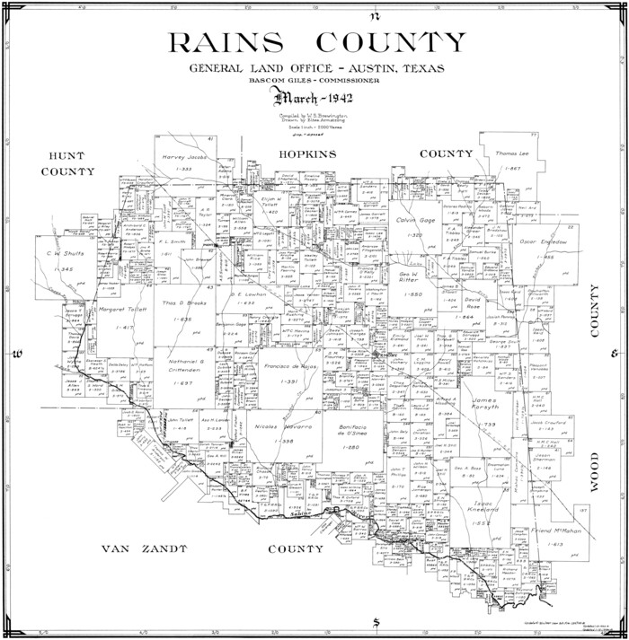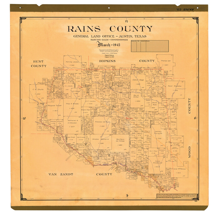
59 results

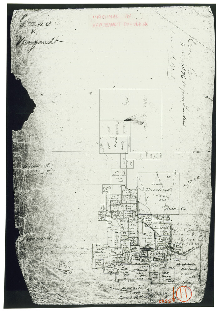
Cass County Working Sketch 11
67914.tif
Print $3.00 - Digital $50.00

Cass County Working Sketch 11

Size: 14.8 x 10.3 inches
67914
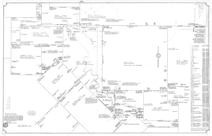
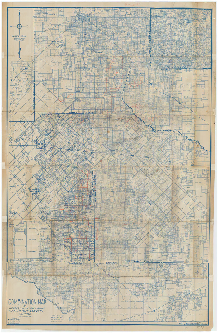
Combination Map of Henderson, Kaufman, Rains, Van Zandt, Hunt & Rockwall Counties
89810-1.tif
Print $40.00 - Digital $50.00

Combination Map of Henderson, Kaufman, Rains, Van Zandt, Hunt & Rockwall Counties

Size: 42.6 x 64.8 inches
89810
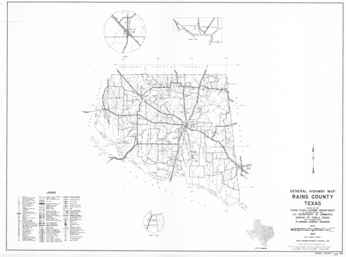
General Highway Map, Rains County, Texas
79634.tif
Print $20.00

General Highway Map, Rains County, Texas

1961

Size: 18.1 x 24.4 inches
79634
General Highway Map, Rains County, Wood County, Texas
79223.tif
Print $20.00

General Highway Map, Rains County, Wood County, Texas

1939
Size: 18.2 x 24.8 inches
79223
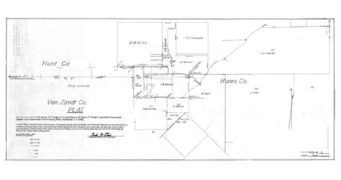
Hunt County Rolled Sketch 3
6267.tif
Print $20.00 - Digital $50.00

Hunt County Rolled Sketch 3

Size: 19.1 x 36.0 inches
6267
Hunt County Rolled Sketch 3A
9241-1.tif
Print $40.00 - Digital $50.00

Hunt County Rolled Sketch 3A

1959

Size: 23.9 x 52.8 inches
9241
Hunt County Sketch File 14
27107, Hunt County Sketch File 14, General Map Collection
Print $4.00 - Digital $50.00

Hunt County Sketch File 14

1851

Size: 8.5 x 15.2 inches
27107
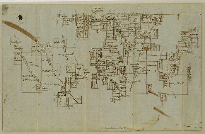
Hunt County Sketch File 26
27124, Hunt County Sketch File 26, General Map Collection
Print $4.00 - Digital $50.00

Hunt County Sketch File 26

1851

Size: 8.4 x 12.9 inches
27124
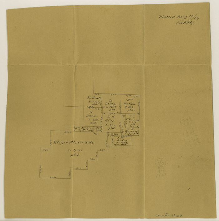
Hunt County Sketch File 38
27157, Hunt County Sketch File 38, General Map Collection
Print $6.00 - Digital $50.00

Hunt County Sketch File 38

Size: 11.0 x 10.8 inches
27157
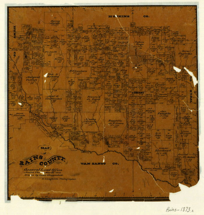
Map of Rains County
3973.tif
Print $20.00 - Digital $50.00

Map of Rains County

1873

Size: 11.9 x 11.2 inches
3973
Map of Rains County
4618.tif
Print $20.00 - Digital $50.00

Map of Rains County

1873

Size: 12.5 x 11.6 inches
4618
Map of Rains County
4619.tif
Print $20.00 - Digital $50.00

Map of Rains County

1873

Size: 12.0 x 12.4 inches
4619
Map of Rains County, Texas
0541.tif
Print $3.00 - Digital $50.00

Map of Rains County, Texas

1880

Size: 11.7 x 12.0 inches
541
Map of Van Zandt County, Texas
0443.tif
Print $20.00 - Digital $50.00

Map of Van Zandt County, Texas

1879

Size: 20.6 x 21.7 inches
443
Nacogdoches County Sketch File 16
42155, Nacogdoches County Sketch File 16, General Map Collection
Print $20.00 - Digital $50.00

Nacogdoches County Sketch File 16

1945

Size: 24.6 x 18.5 inches
42155
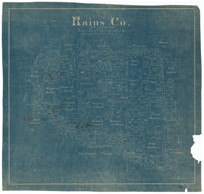
Rains Co.
73336.tif
Print $20.00 - Digital $50.00

Rains Co.

1888

Size: 27.8 x 29.4 inches
73336
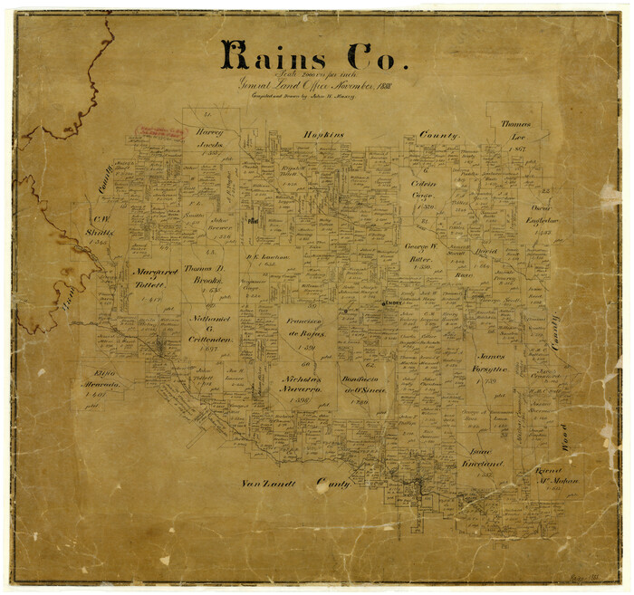
Rains Co.
91755-1.tif
Print $20.00 - Digital $50.00

Rains Co.

1888

Size: 28.7 x 27.5 inches
91755
Rains County
4035-1.tif
Print $20.00 - Digital $50.00

Rains County

1888

Size: 26.0 x 27.8 inches
4035
Rains County
73268.tif
Print $20.00 - Digital $50.00

Rains County

1942

Size: 30.0 x 28.8 inches
73268
Rains County
73337.tif
Print $20.00 - Digital $50.00

Rains County

1942

Size: 29.8 x 29.2 inches
73337
Rains County
77401.tif
Print $20.00 - Digital $50.00

Rains County

1942

Size: 26.3 x 25.8 inches
77401
Rains County
95619.tif
Print $20.00 - Digital $50.00

Rains County

1942

Size: 30.2 x 30.8 inches
95619
Rains County Boundary File 1
58090, Rains County Boundary File 1, General Map Collection
Print $6.00 - Digital $50.00

Rains County Boundary File 1

Size: 11.3 x 8.8 inches
58090
Rains County Boundary File 2
58092, Rains County Boundary File 2, General Map Collection
Print $4.00 - Digital $50.00

Rains County Boundary File 2

Size: 8.2 x 5.8 inches
58092
Rains County Boundary File 71
58094, Rains County Boundary File 71, General Map Collection
Print $6.00 - Digital $50.00

Rains County Boundary File 71

Size: 8.7 x 3.5 inches
58094
Rains County Rolled Sketch 1
9806.tif
Print $40.00 - Digital $50.00

Rains County Rolled Sketch 1

Size: 66.3 x 45.4 inches
9806
Rains County Rolled Sketch 2
48829, Rains County Rolled Sketch 2, General Map Collection
Print $41.00 - Digital $50.00

Rains County Rolled Sketch 2

1958

Size: 10.4 x 15.4 inches
48829
Rains County Rolled Sketch 3
8353.tif
Print $40.00 - Digital $50.00

Rains County Rolled Sketch 3

1992

Size: 56.2 x 38.4 inches
8353
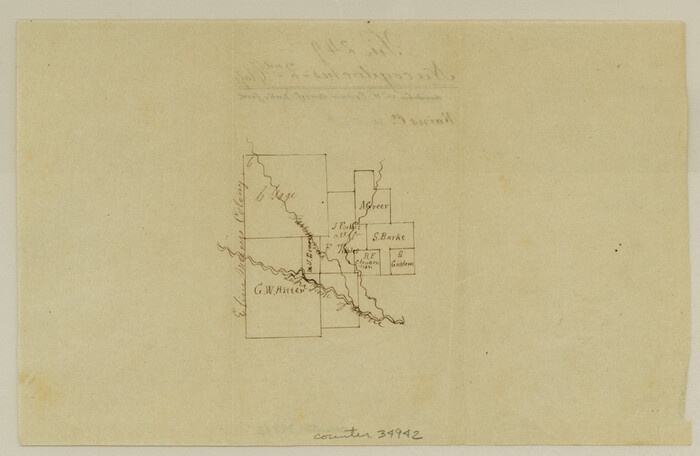
Rains County Sketch File 1
34942, Rains County Sketch File 1, General Map Collection
Print $6.00 - Digital $50.00

Rains County Sketch File 1

Size: 5.9 x 9.1 inches
34942
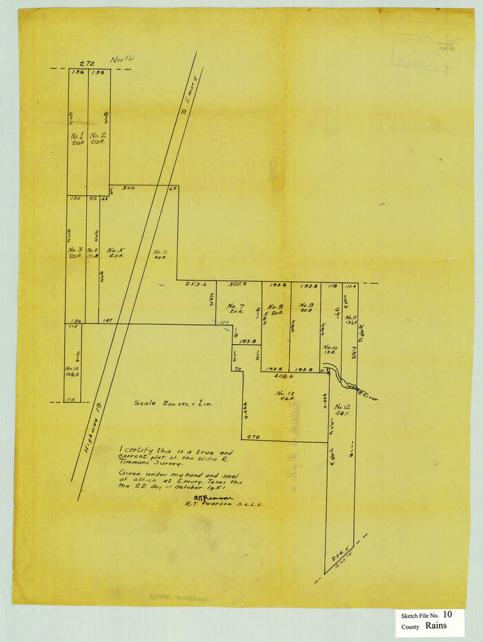
Rains County Sketch File 10
12203, Rains County Sketch File 10, General Map Collection
Print $20.00 - Digital $50.00

Rains County Sketch File 10

Size: 20.9 x 15.7 inches
12203
Cass County Working Sketch 11
67914, Cass County Working Sketch 11, General Map Collection
Print $3.00 - Digital $50.00

Cass County Working Sketch 11

  • Size

    14.8 x 10.3 inches

  • Map/Doc

    67914

Combination Map of Henderson, Kaufman, Rains, Van Zandt, Hunt & Rockwall Counties
89810, Combination Map of Henderson, Kaufman, Rains, Van Zandt, Hunt & Rockwall Counties, Twichell Survey Records
Print $40.00 - Digital $50.00

Combination Map of Henderson, Kaufman, Rains, Van Zandt, Hunt & Rockwall Counties

  • Size

    42.6 x 64.8 inches

  • Map/Doc

    89810

General Highway Map, Rains County, Texas
79634, General Highway Map, Rains County, Texas, Texas State Library and Archives
Print $20.00

General Highway Map, Rains County, Texas

1961

  • Size

    18.1 x 24.4 inches

  • Map/Doc

    79634

  • Creation Date

    1961

General Highway Map, Rains County, Wood County, Texas
79223, General Highway Map, Rains County, Wood County, Texas, Texas State Library and Archives
Print $20.00

General Highway Map, Rains County, Wood County, Texas

1939

  • Size

    18.2 x 24.8 inches

  • Map/Doc

    79223

  • Creation Date

    1939

Hunt County Rolled Sketch 3
6267, Hunt County Rolled Sketch 3, General Map Collection
Print $20.00 - Digital $50.00

Hunt County Rolled Sketch 3

  • Size

    19.1 x 36.0 inches

  • Map/Doc

    6267

Hunt County Rolled Sketch 3A
9241, Hunt County Rolled Sketch 3A, General Map Collection
Print $40.00 - Digital $50.00

Hunt County Rolled Sketch 3A

1959

  • Size

    23.9 x 52.8 inches

  • Map/Doc

    9241

  • Creation Date

    1959

Hunt County Sketch File 14
27107, Hunt County Sketch File 14, General Map Collection
Print $4.00 - Digital $50.00

Hunt County Sketch File 14

1851

  • Size

    8.5 x 15.2 inches

  • Map/Doc

    27107

  • Creation Date

    1851

Hunt County Sketch File 26
27124, Hunt County Sketch File 26, General Map Collection
Print $4.00 - Digital $50.00

Hunt County Sketch File 26

1851

  • Size

    8.4 x 12.9 inches

  • Map/Doc

    27124

  • Creation Date

    1851

Hunt County Sketch File 38
27157, Hunt County Sketch File 38, General Map Collection
Print $6.00 - Digital $50.00

Hunt County Sketch File 38

  • Size

    11.0 x 10.8 inches

  • Map/Doc

    27157

Map of Rains County
3973, Map of Rains County, General Map Collection
Print $20.00 - Digital $50.00

Map of Rains County

1873

  • Size

    11.9 x 11.2 inches

  • Map/Doc

    3973

  • Creation Date

    1873

Map of Rains County
4618, Map of Rains County, General Map Collection
Print $20.00 - Digital $50.00

Map of Rains County

1873

  • Size

    12.5 x 11.6 inches

  • Map/Doc

    4618

  • Creation Date

    1873

Map of Rains County
4619, Map of Rains County, General Map Collection
Print $20.00 - Digital $50.00

Map of Rains County

1873

  • Size

    12.0 x 12.4 inches

  • Map/Doc

    4619

  • Creation Date

    1873

Map of Rains County, Texas
541, Map of Rains County, Texas, Maddox Collection
Print $3.00 - Digital $50.00

Map of Rains County, Texas

1880

  • Size

    11.7 x 12.0 inches

  • Map/Doc

    541

  • Creation Date

    1880

Map of Van Zandt County, Texas
443, Map of Van Zandt County, Texas, Maddox Collection
Print $20.00 - Digital $50.00

Map of Van Zandt County, Texas

1879

  • Size

    20.6 x 21.7 inches

  • Map/Doc

    443

  • Creation Date

    1879

Nacogdoches County Sketch File 16
42155, Nacogdoches County Sketch File 16, General Map Collection
Print $20.00 - Digital $50.00

Nacogdoches County Sketch File 16

1945

  • Size

    24.6 x 18.5 inches

  • Map/Doc

    42155

  • Creation Date

    1945

Rains Co.
73336, Rains Co., General Map Collection
Print $20.00 - Digital $50.00

Rains Co.

1888

  • Size

    27.8 x 29.4 inches

  • Map/Doc

    73336

  • Creation Date

    1888

Rains Co.
91755, Rains Co., Twichell Survey Records
Print $20.00 - Digital $50.00

Rains Co.

1888

  • Size

    28.7 x 27.5 inches

  • Map/Doc

    91755

  • Creation Date

    1888

Rains County
4035, Rains County, General Map Collection
Print $20.00 - Digital $50.00

Rains County

1888

  • Size

    26.0 x 27.8 inches

  • Map/Doc

    4035

  • Creation Date

    1888

Rains County
73268, Rains County, General Map Collection
Print $20.00 - Digital $50.00

Rains County

1942

  • Size

    30.0 x 28.8 inches

  • Map/Doc

    73268

  • Creation Date

    1942

Rains County
73337, Rains County, General Map Collection
Print $20.00 - Digital $50.00

Rains County

1942

  • Size

    29.8 x 29.2 inches

  • Map/Doc

    73337

  • Creation Date

    1942

Rains County
77401, Rains County, General Map Collection
Print $20.00 - Digital $50.00

Rains County

1942

  • Size

    26.3 x 25.8 inches

  • Map/Doc

    77401

  • Creation Date

    1942

Rains County
95619, Rains County, General Map Collection
Print $20.00 - Digital $50.00

Rains County

1942

  • Size

    30.2 x 30.8 inches

  • Map/Doc

    95619

  • Creation Date

    1942

Rains County Boundary File 1
58090, Rains County Boundary File 1, General Map Collection
Print $6.00 - Digital $50.00

Rains County Boundary File 1

  • Size

    11.3 x 8.8 inches

  • Map/Doc

    58090

Rains County Boundary File 2
58092, Rains County Boundary File 2, General Map Collection
Print $4.00 - Digital $50.00

Rains County Boundary File 2

  • Size

    8.2 x 5.8 inches

  • Map/Doc

    58092

Rains County Boundary File 71
58094, Rains County Boundary File 71, General Map Collection
Print $6.00 - Digital $50.00

Rains County Boundary File 71

  • Size

    8.7 x 3.5 inches

  • Map/Doc

    58094

Rains County Rolled Sketch 1
9806, Rains County Rolled Sketch 1, General Map Collection
Print $40.00 - Digital $50.00

Rains County Rolled Sketch 1

  • Size

    66.3 x 45.4 inches

  • Map/Doc

    9806

Rains County Rolled Sketch 2
48829, Rains County Rolled Sketch 2, General Map Collection
Print $41.00 - Digital $50.00

Rains County Rolled Sketch 2

1958

  • Size

    10.4 x 15.4 inches

  • Map/Doc

    48829

  • Creation Date

    1958

Rains County Rolled Sketch 3
8353, Rains County Rolled Sketch 3, General Map Collection
Print $40.00 - Digital $50.00

Rains County Rolled Sketch 3

1992

  • Size

    56.2 x 38.4 inches

  • Map/Doc

    8353

  • Creation Date

    1992

Rains County Sketch File 1
34942, Rains County Sketch File 1, General Map Collection
Print $6.00 - Digital $50.00

Rains County Sketch File 1

  • Size

    5.9 x 9.1 inches

  • Map/Doc

    34942

Rains County Sketch File 10
12203, Rains County Sketch File 10, General Map Collection
Print $20.00 - Digital $50.00

Rains County Sketch File 10

  • Size

    20.9 x 15.7 inches

  • Map/Doc

    12203