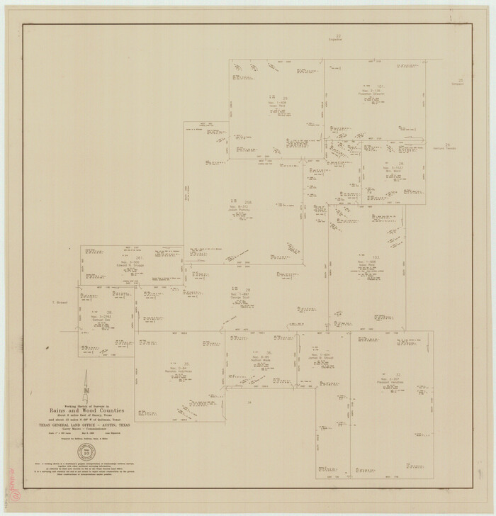
Rains County Working Sketch 10
1998

Rains County Rolled Sketch 3
1992

Van Zandt County Rolled Sketch 10
1989
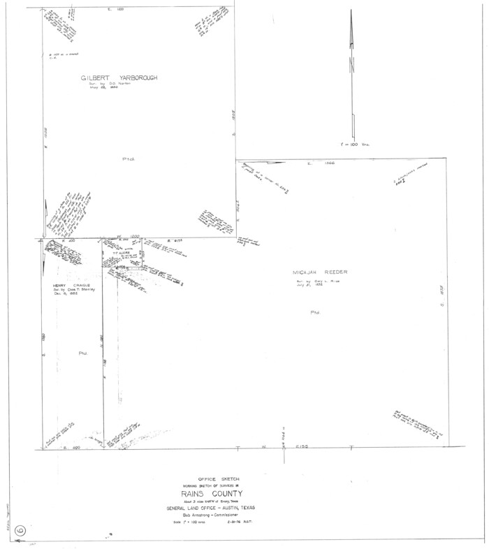
Rains County Working Sketch 9
1976

Rains County Working Sketch 8
1965
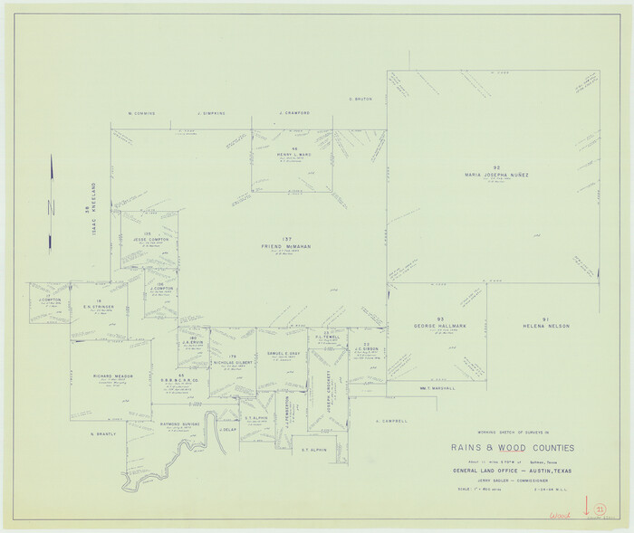
Wood County Working Sketch 11
1964

Rains County Working Sketch 7
1964
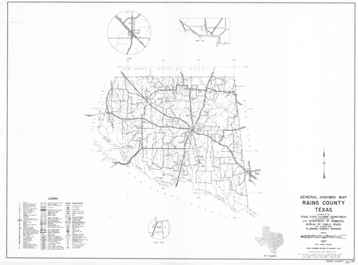
General Highway Map, Rains County, Texas
1961

Hunt County Rolled Sketch 3A
1959

Rains County Rolled Sketch 2
1958
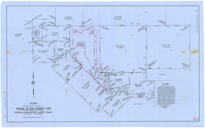
Rains County Working Sketch 6
1958
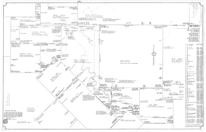
Rains County Rolled Sketch 1
1958

Van Zandt County Working Sketch 7
1953
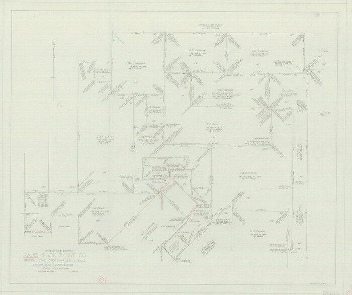
Rains County Working Sketch 5
1950

Nacogdoches County Sketch File 16
1945
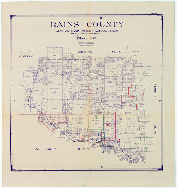
Rains County Working Sketch Graphic Index
1942

General Highway Map, Rains County, Wood County, Texas
1939

Sabine River, Iron Bridge Crossing Sheet
1936

Sabine River, Free Bridge Sheet
1936

Sabine River, Rocky Ford Crossing Sheet/Cowleach Fork of the Sabine River
1936

Rains County Working Sketch 4
1919

Rains County Working Sketch 3
1918

Wood County Working Sketch 3
1916
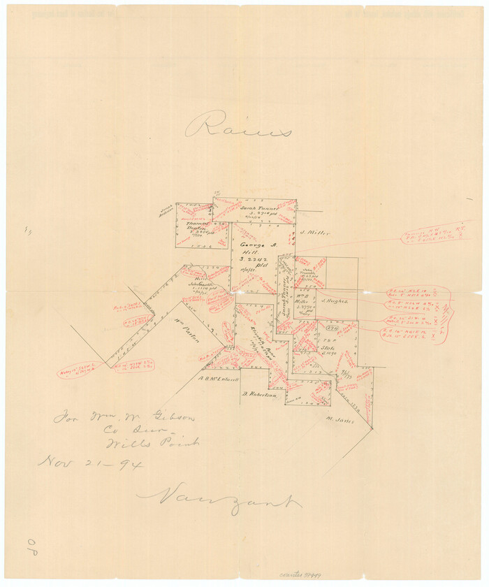
Van Zandt County Sketch File 27a
1894

Rains County Working Sketch 10
1998
-
Size
36.1 x 34.7 inches
-
Map/Doc
71836
-
Creation Date
1998

Rains County Rolled Sketch 3
1992
-
Size
56.2 x 38.4 inches
-
Map/Doc
8353
-
Creation Date
1992

Van Zandt County Rolled Sketch 10
1989
-
Size
33.7 x 40.6 inches
-
Map/Doc
10092
-
Creation Date
1989

Rains County Working Sketch 9
1976
-
Size
35.8 x 31.9 inches
-
Map/Doc
71835
-
Creation Date
1976

Rains County Working Sketch 8
1965
-
Size
24.3 x 28.1 inches
-
Map/Doc
71834
-
Creation Date
1965

Wood County Working Sketch 11
1964
-
Size
31.4 x 37.4 inches
-
Map/Doc
62011
-
Creation Date
1964

Rains County Working Sketch 7
1964
-
Size
32.6 x 38.6 inches
-
Map/Doc
71833
-
Creation Date
1964

General Highway Map, Rains County, Texas
1961
-
Size
18.1 x 24.4 inches
-
Map/Doc
79634
-
Creation Date
1961

Hunt County Rolled Sketch 3A
1959
-
Size
23.9 x 52.8 inches
-
Map/Doc
9241
-
Creation Date
1959

Rains County Rolled Sketch 2
1958
-
Size
10.4 x 15.4 inches
-
Map/Doc
48829
-
Creation Date
1958

Rains County Working Sketch 6
1958
-
Size
26.4 x 42.3 inches
-
Map/Doc
71832
-
Creation Date
1958

Rains County Rolled Sketch 1
1958
-
Size
42.0 x 65.2 inches
-
Map/Doc
9806
-
Creation Date
1958

Van Zandt County Working Sketch 7
1953
-
Size
17.7 x 18.1 inches
-
Map/Doc
72257
-
Creation Date
1953

Rains County Working Sketch 5
1950
-
Size
35.2 x 42.0 inches
-
Map/Doc
71831
-
Creation Date
1950

Nacogdoches County Sketch File 16
1945
-
Size
24.6 x 18.5 inches
-
Map/Doc
42155
-
Creation Date
1945

Rains County
1942
-
Size
30.0 x 28.8 inches
-
Map/Doc
73268
-
Creation Date
1942

Rains County
1942
-
Size
29.8 x 29.2 inches
-
Map/Doc
73337
-
Creation Date
1942
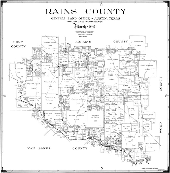
Rains County
1942
-
Size
26.3 x 25.8 inches
-
Map/Doc
77401
-
Creation Date
1942
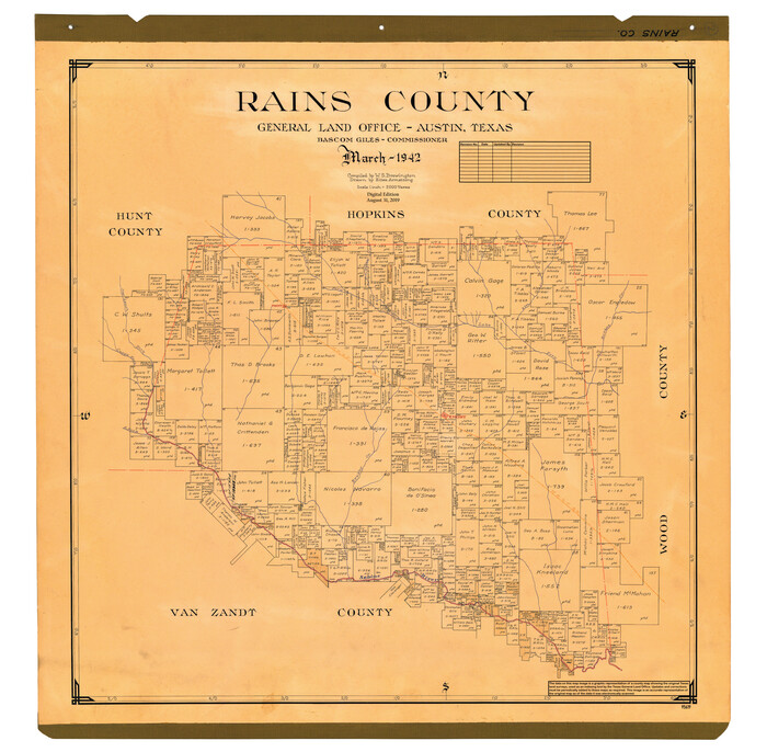
Rains County
1942
-
Size
30.2 x 30.8 inches
-
Map/Doc
95619
-
Creation Date
1942

Rains County Working Sketch Graphic Index
1942
-
Size
31.3 x 29.5 inches
-
Map/Doc
76675
-
Creation Date
1942

General Highway Map, Rains County, Wood County, Texas
1939
-
Size
18.2 x 24.8 inches
-
Map/Doc
79223
-
Creation Date
1939

Sabine River, Iron Bridge Crossing Sheet
1936
-
Size
33.0 x 40.6 inches
-
Map/Doc
65139
-
Creation Date
1936

Sabine River, Free Bridge Sheet
1936
-
Size
27.2 x 50.6 inches
-
Map/Doc
65143
-
Creation Date
1936

Sabine River, Rocky Ford Crossing Sheet/Cowleach Fork of the Sabine River
1936
-
Size
38.9 x 29.2 inches
-
Map/Doc
65144
-
Creation Date
1936

Rains County Working Sketch 4
1919
-
Size
27.3 x 25.9 inches
-
Map/Doc
71830
-
Creation Date
1919

Rains County Working Sketch 3
1918
-
Size
22.3 x 12.5 inches
-
Map/Doc
71829
-
Creation Date
1918

Wood County Working Sketch 3
1916
-
Size
9.8 x 8.4 inches
-
Map/Doc
62003
-
Creation Date
1916

Van Zandt County Sketch File 27a
1894
-
Size
17.4 x 14.5 inches
-
Map/Doc
39449
-
Creation Date
1894

Rains Co.
1888
-
Size
27.8 x 29.4 inches
-
Map/Doc
73336
-
Creation Date
1888
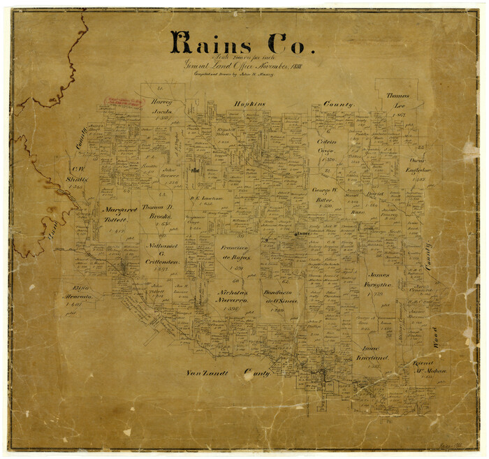
Rains County
1888
-
Size
26.0 x 27.8 inches
-
Map/Doc
4035
-
Creation Date
1888