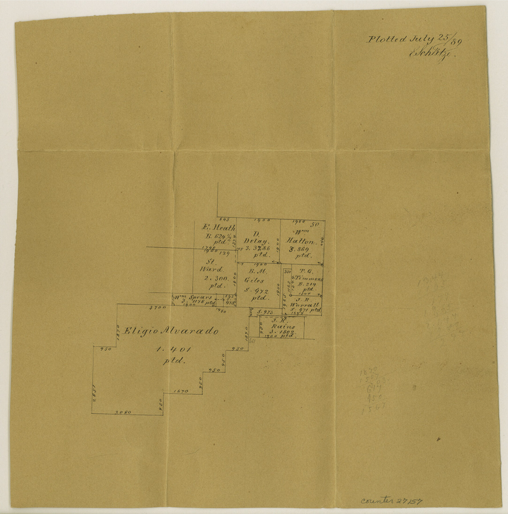
Hunt County Sketch File 38
[Office sketch of southeast corner of county]
-
Map/Doc
27157
-
Collection
General Map Collection
-
Object Dates
7/25/1889 (File Date)
-
People and Organizations
E. Schutze (Draftsman)
-
Counties
Hunt Rains Van Zandt
-
Subjects
Surveying Sketch File
-
Height x Width
11.0 x 10.8 inches
27.9 x 27.4 cm
-
Medium
paper, manuscript
Part of: General Map Collection

Jefferson County NRC Article 33.136 Sketch 10

Print $28.00
- Digital $50.00
Jefferson County NRC Article 33.136 Sketch 10
2012
Size 24.0 x 36.0 inches
Map/Doc 94575
Sulphur River, Boxelder Sheet/Cuthand Creek

Print $20.00
- Digital $50.00
Sulphur River, Boxelder Sheet/Cuthand Creek
1922
Size 29.5 x 25.1 inches
Map/Doc 65156
Flight Mission No. DQN-2K, Frame 42, Calhoun County

Print $20.00
- Digital $50.00
Flight Mission No. DQN-2K, Frame 42, Calhoun County
1953
Size 18.5 x 22.2 inches
Map/Doc 84247
Martin County Working Sketch 10

Print $40.00
- Digital $50.00
Martin County Working Sketch 10
1971
Size 50.0 x 37.4 inches
Map/Doc 70828
Jack County Sketch File 15

Print $4.00
- Digital $50.00
Jack County Sketch File 15
1880
Size 7.3 x 13.7 inches
Map/Doc 27545
Panola County Sketch File 1a

Print $4.00
- Digital $50.00
Panola County Sketch File 1a
1855
Size 12.7 x 7.9 inches
Map/Doc 33445
Topographical Map of the Rio Grande, Sheet No. 12

Print $20.00
- Digital $50.00
Topographical Map of the Rio Grande, Sheet No. 12
1912
Map/Doc 89536
Swisher County Rolled Sketch B

Print $20.00
- Digital $50.00
Swisher County Rolled Sketch B
Size 19.1 x 19.7 inches
Map/Doc 7908
Oldham County Sketch File 15

Print $6.00
- Digital $50.00
Oldham County Sketch File 15
1904
Size 11.2 x 8.5 inches
Map/Doc 33261
Matagorda County Rolled Sketch 36

Print $115.00
- Digital $50.00
Matagorda County Rolled Sketch 36
1944
Size 10.1 x 15.0 inches
Map/Doc 46747
Duval County Working Sketch 12

Print $20.00
- Digital $50.00
Duval County Working Sketch 12
1937
Size 22.1 x 27.8 inches
Map/Doc 68725
You may also like
Jeff Davis County Rolled Sketch 44

Print $20.00
- Digital $50.00
Jeff Davis County Rolled Sketch 44
2014
Size 19.8 x 34.7 inches
Map/Doc 94243
Flight Mission No. CLL-3N, Frame 20, Willacy County

Print $20.00
- Digital $50.00
Flight Mission No. CLL-3N, Frame 20, Willacy County
1954
Size 18.5 x 22.1 inches
Map/Doc 87086


[Worksheets related to the Wilson Strickland survey and vicinity]
![91283, [Worksheets related to the Wilson Strickland survey and vicinity], Twichell Survey Records](https://historictexasmaps.com/wmedia_w700/maps/91283-1.tif.jpg)
Print $20.00
- Digital $50.00
[Worksheets related to the Wilson Strickland survey and vicinity]
Size 9.9 x 29.7 inches
Map/Doc 91283
Brewster County Rolled Sketch 45

Print $20.00
- Digital $50.00
Brewster County Rolled Sketch 45
1921
Size 20.3 x 15.6 inches
Map/Doc 5221
Jasper County Sketch File 35

Print $6.00
- Digital $50.00
Jasper County Sketch File 35
Size 17.0 x 10.7 inches
Map/Doc 27870
D No. 4 - Reconnaissance of New River and Bar, North Carolina

Print $20.00
- Digital $50.00
D No. 4 - Reconnaissance of New River and Bar, North Carolina
1852
Size 19.4 x 15.7 inches
Map/Doc 97211
Midland County Sketch File 2

Print $20.00
- Digital $50.00
Midland County Sketch File 2
1886
Size 16.3 x 17.6 inches
Map/Doc 12080
Outer Continental Shelf Leasing Maps (Texas Offshore Operations)

Print $20.00
- Digital $50.00
Outer Continental Shelf Leasing Maps (Texas Offshore Operations)
Size 20.7 x 15.1 inches
Map/Doc 75848
Flight Mission No. BRA-16M, Frame 69, Jefferson County

Print $20.00
- Digital $50.00
Flight Mission No. BRA-16M, Frame 69, Jefferson County
1953
Size 18.6 x 22.2 inches
Map/Doc 85686
