139 results

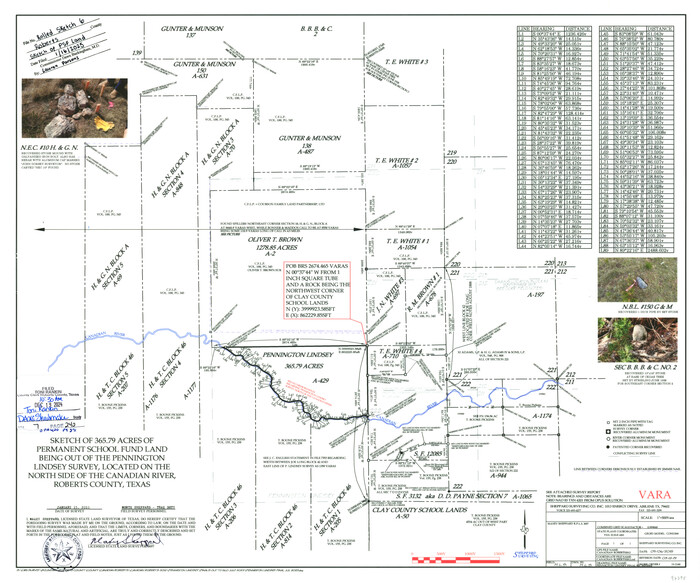
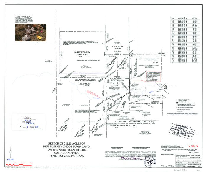
Roberts County Sketch File 10
94070, Roberts County Sketch File 10, General Map Collection
Print $32.00 - Digital $50.00

Roberts County Sketch File 10

2016

Size: 11.0 x 8.5 inches
94070
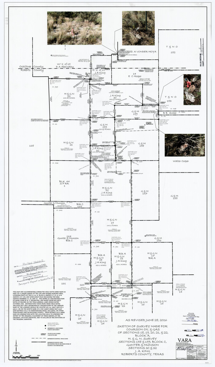
Roberts County Rolled Sketch 5
94071.tif
Print $20.00 - Digital $50.00

Roberts County Rolled Sketch 5

2015

Size: 42.6 x 25.0 inches
94071
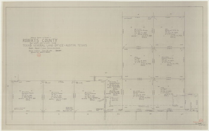
Roberts County Rolled Sketch 4
83620, Roberts County Rolled Sketch 4, General Map Collection
Print $52.00 - Digital $50.00

Roberts County Rolled Sketch 4

2006

Size: 66.9 x 20.0 inches
83620
Hutchinson County Sketch File 53
27455, Hutchinson County Sketch File 53, General Map Collection
Print $2.00 - Digital $50.00

Hutchinson County Sketch File 53

2000
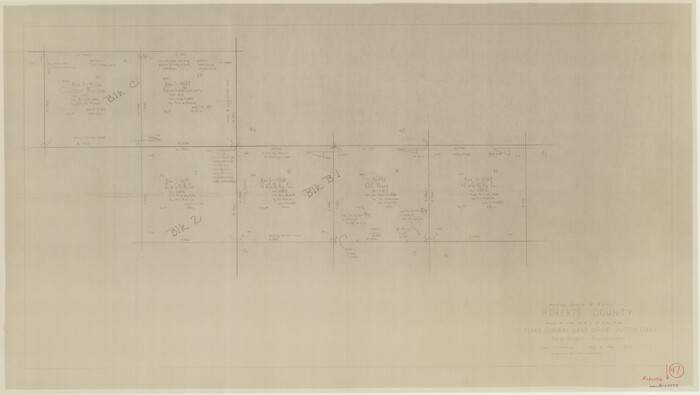
Size: 11.2 x 8.8 inches
27455
Hutchinson County Sketch File 52
27449, Hutchinson County Sketch File 52, General Map Collection
Print $14.00 - Digital $50.00

Hutchinson County Sketch File 52

1992

Size: 14.2 x 8.8 inches
27449
Roberts County Sketch File 7
35316, Roberts County Sketch File 7, General Map Collection
Print $16.00 - Digital $50.00

Roberts County Sketch File 7

1992

Size: 14.3 x 8.8 inches
35316
Roberts County Sketch File 8
35324, Roberts County Sketch File 8, General Map Collection
Print $6.00 - Digital $50.00

Roberts County Sketch File 8

1992

Size: 14.3 x 8.8 inches
35324
Roberts County Sketch File 9
35327, Roberts County Sketch File 9, General Map Collection
Print $26.00 - Digital $50.00

Roberts County Sketch File 9

1992

Size: 14.3 x 9.0 inches
35327
Hutchinson County Sketch File 45
27354, Hutchinson County Sketch File 45, General Map Collection
Print $22.00 - Digital $50.00

Hutchinson County Sketch File 45

1991
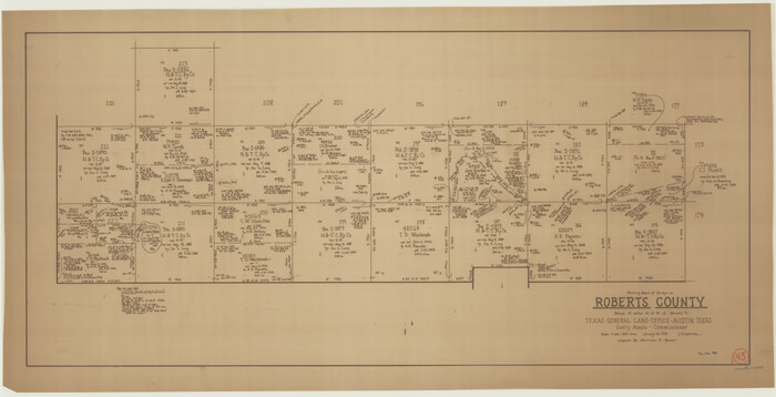
Size: 11.1 x 8.8 inches
27354
Hutchinson County Rolled Sketch 41
9249.tif
Print $40.00 - Digital $50.00

Hutchinson County Rolled Sketch 41

1989

Size: 144.4 x 43.4 inches
9249
Hutchinson County Sketch File 48
27400, Hutchinson County Sketch File 48, General Map Collection
Print $38.00 - Digital $50.00

Hutchinson County Sketch File 48

1989

Size: 11.2 x 8.8 inches
27400
General Highway Map, Roberts County, Texas
79640.tif
Print $20.00

General Highway Map, Roberts County, Texas

1961

Size: 18.2 x 24.4 inches
79640
Hemphill County Rolled Sketch 12
9154.tif
Print $20.00 - Digital $50.00

Hemphill County Rolled Sketch 12

1941

Size: 36.0 x 45.1 inches
9154
General Highway Map, Roberts County, Texas
79229.tif
Print $20.00

General Highway Map, Roberts County, Texas

1940

Size: 18.4 x 25.0 inches
79229
Roberts County Sketch File 6
35314, Roberts County Sketch File 6, General Map Collection
Print $6.00 - Digital $50.00

Roberts County Sketch File 6

1935

Size: 10.8 x 14.5 inches
35314
Roberts County
73275.tif
Print $20.00 - Digital $50.00

Roberts County

1932

Size: 41.9 x 38.0 inches
73275
Roberts County Working Sketch Graphic Index
76684.tif
Print $20.00 - Digital $50.00

Roberts County Working Sketch Graphic Index

1932

Size: 41.2 x 37.3 inches
76684
Roberts County
77408.tif
Print $20.00 - Digital $50.00

Roberts County

1932

Size: 39.7 x 35.8 inches
77408
Map of Roberts County
95626.tif
Print $20.00 - Digital $50.00

Map of Roberts County

1932

Size: 42.9 x 39.0 inches
95626
[Sketch showing H. & G. N. Block A on the north side of the Canadian River and H. & T. C. Block 46 on the south side of the Canadian River]
91763-1.tif
Print $20.00 - Digital $50.00

[Sketch showing H. & G. N. Block A on the north side of the Canadian River and H. & T. C. Block 46 on the south side of the Canadian River]

1927

Size: 25.1 x 11.2 inches
91763
Hutchinson County Rolled Sketch 29
6291.tif
Print $20.00 - Digital $50.00

Hutchinson County Rolled Sketch 29

1925

Size: 19.3 x 13.9 inches
6291
Part of Roberts County, construction of survey lines copied from official map in use in General Land Office
91773-1.tif
Print $20.00 - Digital $50.00

Part of Roberts County, construction of survey lines copied from official map in use in General Land Office

1923

Size: 12.7 x 19.3 inches
91773
Working Sketch in Roberts County, H. & G. N. RR Surveys, Block A
91767-1.tif
Print $20.00 - Digital $50.00

Working Sketch in Roberts County, H. & G. N. RR Surveys, Block A

1922

Size: 17.8 x 18.2 inches
91767
[Sketch showing Block 42, Sections 221 and 222 and Block H, Sections 7 and 9]
91714-1.tif
Print $2.00 - Digital $50.00

[Sketch showing Block 42, Sections 221 and 222 and Block H, Sections 7 and 9]

1919

Size: 5.6 x 5.0 inches
91714
[Sketch showing Block H, Section 11 of Roberts County, including the south bank of the Canadian River]
91761-1.tif
Print $2.00 - Digital $50.00

[Sketch showing Block H, Section 11 of Roberts County, including the south bank of the Canadian River]

1919

Size: 14.4 x 8.8 inches
91761
Sketch in NE Portion Hutchinson County
75815.tif
Print $20.00 - Digital $50.00

Sketch in NE Portion Hutchinson County

1913

Size: 36.9 x 43.3 inches
75815
[County Line, Roberts and Hutchinson County]
91184-1.tif
Print $20.00 - Digital $50.00

[County Line, Roberts and Hutchinson County]

1907

Size: 33.7 x 7.7 inches
91184
Map Showing North and West Boundaries of Gray County, Texas
89942-1.tif
Print $20.00 - Digital $50.00

Map Showing North and West Boundaries of Gray County, Texas

1906

Size: 42.4 x 38.9 inches
89942
Hemphill County Rolled Sketch 13
6193-1.tif
Print $20.00 - Digital $50.00

Hemphill County Rolled Sketch 13

1905

Size: 20.7 x 28.9 inches
6193
Hemphill County Rolled Sketch 8
6191.tif
Print $20.00 - Digital $50.00

Hemphill County Rolled Sketch 8

1903

Size: 22.7 x 30.5 inches
6191
Roberts County Sketch File 10
94070, Roberts County Sketch File 10, General Map Collection
Print $32.00 - Digital $50.00

Roberts County Sketch File 10

2016

  • Size

    11.0 x 8.5 inches

  • Map/Doc

    94070

  • Creation Date

    2016

Roberts County Rolled Sketch 5
94071, Roberts County Rolled Sketch 5, General Map Collection
Print $20.00 - Digital $50.00

Roberts County Rolled Sketch 5

2015

  • Size

    42.6 x 25.0 inches

  • Map/Doc

    94071

  • Creation Date

    2015

Roberts County Rolled Sketch 4
83620, Roberts County Rolled Sketch 4, General Map Collection
Print $52.00 - Digital $50.00

Roberts County Rolled Sketch 4

2006

  • Size

    66.9 x 20.0 inches

  • Map/Doc

    83620

  • Creation Date

    2006

Hutchinson County Sketch File 53
27455, Hutchinson County Sketch File 53, General Map Collection
Print $2.00 - Digital $50.00

Hutchinson County Sketch File 53

2000

  • Size

    11.2 x 8.8 inches

  • Map/Doc

    27455

  • Creation Date

    2000

Hutchinson County Sketch File 52
27449, Hutchinson County Sketch File 52, General Map Collection
Print $14.00 - Digital $50.00

Hutchinson County Sketch File 52

1992

  • Size

    14.2 x 8.8 inches

  • Map/Doc

    27449

  • Creation Date

    1992

Roberts County Sketch File 7
35316, Roberts County Sketch File 7, General Map Collection
Print $16.00 - Digital $50.00

Roberts County Sketch File 7

1992

  • Size

    14.3 x 8.8 inches

  • Map/Doc

    35316

  • Creation Date

    1992

Roberts County Sketch File 8
35324, Roberts County Sketch File 8, General Map Collection
Print $6.00 - Digital $50.00

Roberts County Sketch File 8

1992

  • Size

    14.3 x 8.8 inches

  • Map/Doc

    35324

  • Creation Date

    1992

Roberts County Sketch File 9
35327, Roberts County Sketch File 9, General Map Collection
Print $26.00 - Digital $50.00

Roberts County Sketch File 9

1992

  • Size

    14.3 x 9.0 inches

  • Map/Doc

    35327

  • Creation Date

    1992

Hutchinson County Sketch File 45
27354, Hutchinson County Sketch File 45, General Map Collection
Print $22.00 - Digital $50.00

Hutchinson County Sketch File 45

1991

  • Size

    11.1 x 8.8 inches

  • Map/Doc

    27354

  • Creation Date

    1991

Hutchinson County Rolled Sketch 41
9249, Hutchinson County Rolled Sketch 41, General Map Collection
Print $40.00 - Digital $50.00

Hutchinson County Rolled Sketch 41

1989

  • Size

    144.4 x 43.4 inches

  • Map/Doc

    9249

  • Creation Date

    1989

Hutchinson County Sketch File 48
27400, Hutchinson County Sketch File 48, General Map Collection
Print $38.00 - Digital $50.00

Hutchinson County Sketch File 48

1989

  • Size

    11.2 x 8.8 inches

  • Map/Doc

    27400

  • Creation Date

    1989

General Highway Map, Roberts County, Texas
79640, General Highway Map, Roberts County, Texas, Texas State Library and Archives
Print $20.00

General Highway Map, Roberts County, Texas

1961

  • Size

    18.2 x 24.4 inches

  • Map/Doc

    79640

  • Creation Date

    1961

Hemphill County Rolled Sketch 12
9154, Hemphill County Rolled Sketch 12, General Map Collection
Print $20.00 - Digital $50.00

Hemphill County Rolled Sketch 12

1941

  • Size

    36.0 x 45.1 inches

  • Map/Doc

    9154

  • Creation Date

    1941

General Highway Map, Roberts County, Texas
79229, General Highway Map, Roberts County, Texas, Texas State Library and Archives
Print $20.00

General Highway Map, Roberts County, Texas

1940

  • Size

    18.4 x 25.0 inches

  • Map/Doc

    79229

  • Creation Date

    1940

Roberts County Sketch File 6
35314, Roberts County Sketch File 6, General Map Collection
Print $6.00 - Digital $50.00

Roberts County Sketch File 6

1935

  • Size

    10.8 x 14.5 inches

  • Map/Doc

    35314

  • Creation Date

    1935

Roberts County
73275, Roberts County, General Map Collection
Print $20.00 - Digital $50.00

Roberts County

1932

  • Size

    41.9 x 38.0 inches

  • Map/Doc

    73275

  • Creation Date

    1932

Roberts County Working Sketch Graphic Index
76684, Roberts County Working Sketch Graphic Index, General Map Collection
Print $20.00 - Digital $50.00

Roberts County Working Sketch Graphic Index

1932

  • Size

    41.2 x 37.3 inches

  • Map/Doc

    76684

  • Creation Date

    1932

Roberts County
77408, Roberts County, General Map Collection
Print $20.00 - Digital $50.00

Roberts County

1932

  • Size

    39.7 x 35.8 inches

  • Map/Doc

    77408

  • Creation Date

    1932

Map of Roberts County
95626, Map of Roberts County, General Map Collection
Print $20.00 - Digital $50.00

Map of Roberts County

1932

  • Size

    42.9 x 39.0 inches

  • Map/Doc

    95626

  • Creation Date

    1932

[Sketch showing H. & G. N. Block A on the north side of the Canadian River and H. & T. C. Block 46 on the south side of the Canadian River]
91763, [Sketch showing H. & G. N. Block A on the north side of the Canadian River and H. & T. C. Block 46 on the south side of the Canadian River], Twichell Survey Records
Print $20.00 - Digital $50.00

[Sketch showing H. & G. N. Block A on the north side of the Canadian River and H. & T. C. Block 46 on the south side of the Canadian River]

1927

  • Size

    25.1 x 11.2 inches

  • Map/Doc

    91763

  • Creation Date

    1927

Hutchinson County Rolled Sketch 29
6291, Hutchinson County Rolled Sketch 29, General Map Collection
Print $20.00 - Digital $50.00

Hutchinson County Rolled Sketch 29

1925

  • Size

    19.3 x 13.9 inches

  • Map/Doc

    6291

  • Creation Date

    1925

Part of Roberts County, construction of survey lines copied from official map in use in General Land Office
91773, Part of Roberts County, construction of survey lines copied from official map in use in General Land Office, Twichell Survey Records
Print $20.00 - Digital $50.00

Part of Roberts County, construction of survey lines copied from official map in use in General Land Office

1923

  • Size

    12.7 x 19.3 inches

  • Map/Doc

    91773

  • Creation Date

    1923

Working Sketch in Roberts County, H. & G. N. RR Surveys, Block A
91767, Working Sketch in Roberts County, H. & G. N. RR Surveys, Block A, Twichell Survey Records
Print $20.00 - Digital $50.00

Working Sketch in Roberts County, H. & G. N. RR Surveys, Block A

1922

  • Size

    17.8 x 18.2 inches

  • Map/Doc

    91767

  • Creation Date

    1922

[Sketch showing Block 42, Sections 221 and 222 and Block H, Sections 7 and 9]
91714, [Sketch showing Block 42, Sections 221 and 222 and Block H, Sections 7 and 9], Twichell Survey Records
Print $2.00 - Digital $50.00

[Sketch showing Block 42, Sections 221 and 222 and Block H, Sections 7 and 9]

1919

  • Size

    5.6 x 5.0 inches

  • Map/Doc

    91714

  • Creation Date

    1919

[Sketch showing Block H, Section 11 of Roberts County, including the south bank of the Canadian River]
91761, [Sketch showing Block H, Section 11 of Roberts County, including the south bank of the Canadian River], Twichell Survey Records
Print $2.00 - Digital $50.00

[Sketch showing Block H, Section 11 of Roberts County, including the south bank of the Canadian River]

1919

  • Size

    14.4 x 8.8 inches

  • Map/Doc

    91761

  • Creation Date

    1919

Sketch in NE Portion Hutchinson County
75815, Sketch in NE Portion Hutchinson County, Maddox Collection
Print $20.00 - Digital $50.00

Sketch in NE Portion Hutchinson County

1913

  • Size

    36.9 x 43.3 inches

  • Map/Doc

    75815

  • Creation Date

    1913

[County Line, Roberts and Hutchinson County]
91184, [County Line, Roberts and Hutchinson County], Twichell Survey Records
Print $20.00 - Digital $50.00

[County Line, Roberts and Hutchinson County]

1907

  • Size

    33.7 x 7.7 inches

  • Map/Doc

    91184

  • Creation Date

    1907

Map Showing North and West Boundaries of Gray County, Texas
89942, Map Showing North and West Boundaries of Gray County, Texas, Twichell Survey Records
Print $20.00 - Digital $50.00

Map Showing North and West Boundaries of Gray County, Texas

1906

  • Size

    42.4 x 38.9 inches

  • Map/Doc

    89942

  • Creation Date

    1906

Hemphill County Rolled Sketch 13
6193, Hemphill County Rolled Sketch 13, General Map Collection
Print $20.00 - Digital $50.00

Hemphill County Rolled Sketch 13

1905

  • Size

    20.7 x 28.9 inches

  • Map/Doc

    6193

  • Creation Date

    1905

Hemphill County Rolled Sketch 8
6191, Hemphill County Rolled Sketch 8, General Map Collection
Print $20.00 - Digital $50.00

Hemphill County Rolled Sketch 8

1903

  • Size

    22.7 x 30.5 inches

  • Map/Doc

    6191

  • Creation Date

    1903