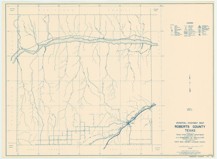
General Highway Map, Roberts County, Texas
1940
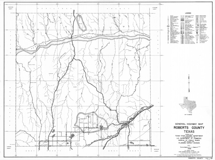
General Highway Map, Roberts County, Texas
1961
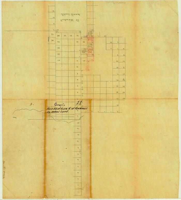
Gray County Sketch File 11

Gray County Sketch File 7c
1885
Gray County Sketch File B1
1882

Gray County Sketch File B2

Hemphill County Rolled Sketch 12
1941

Hemphill County Rolled Sketch 13
1905
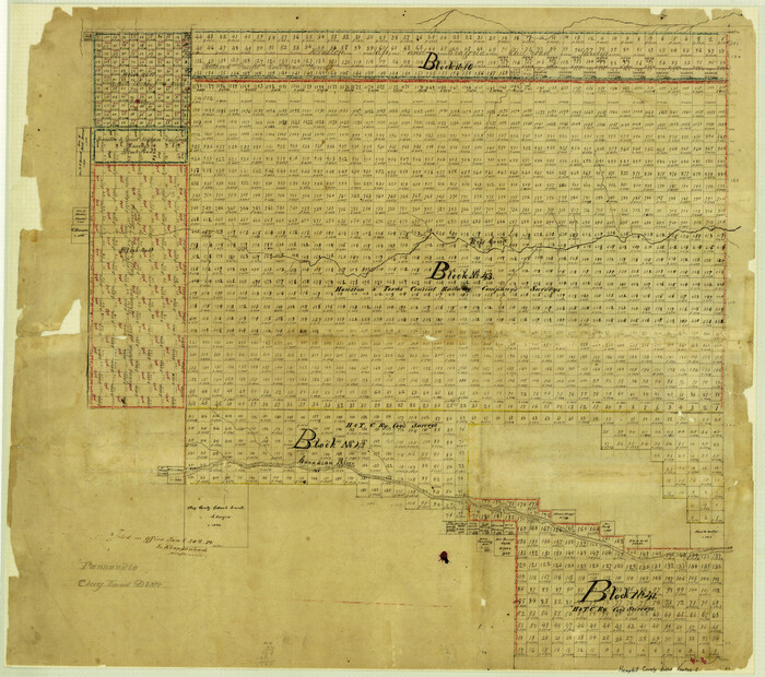
Hemphill County Rolled Sketch 2

Hemphill County Rolled Sketch 7
1902
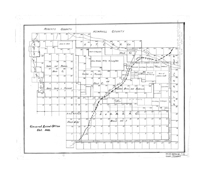
Hemphill County Rolled Sketch 7A
1902
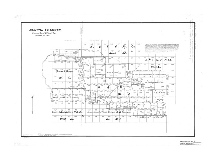
Hemphill County Rolled Sketch 8
1903

Hemphill County Sketch File 1
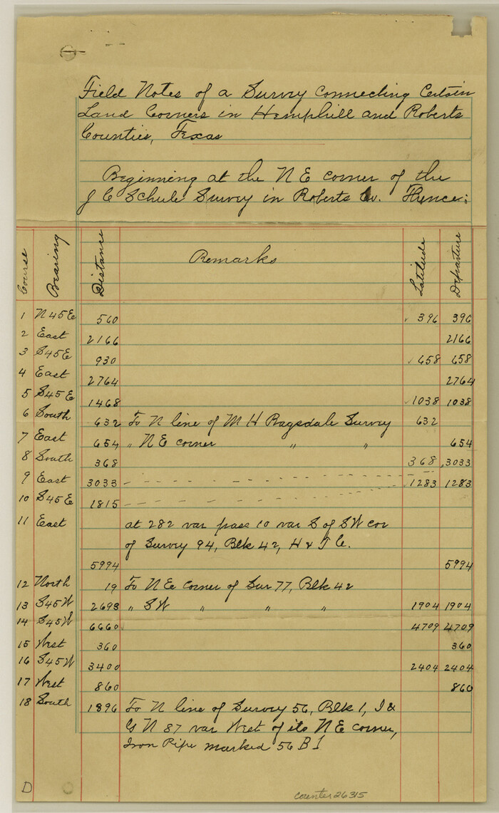
Hemphill County Sketch File 10
1903

Hemphill County Sketch File 2
1900

Hemphill County Sketch File 4
1903

Hemphill County Sketch File 8

Hemphill County Working Sketch 35
1978

Hutchinson County Rolled Sketch 2
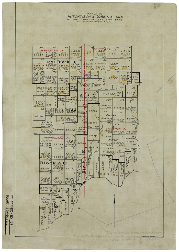
Hutchinson County Rolled Sketch 29
1925

Hutchinson County Rolled Sketch 41
1989

Hutchinson County Sketch File 10

Hutchinson County Sketch File 20m

Hutchinson County Sketch File 4
1890

Hutchinson County Sketch File 45
1991

Hutchinson County Sketch File 48
1989

Hutchinson County Sketch File 5

Hutchinson County Sketch File 52
1992

Hutchinson County Sketch File 53
2000

Location Survey of the Southern Kansas Railway, Kiowa Extension from a point in Drake's Location, in Indian Territory 100 miles from south line of Kansas, continuing up Wolf Creek and South Canadian River to Cottonwood Creek in Hutchinson County
1886

General Highway Map, Roberts County, Texas
1940
-
Size
18.4 x 25.0 inches
-
Map/Doc
79229
-
Creation Date
1940

General Highway Map, Roberts County, Texas
1961
-
Size
18.2 x 24.4 inches
-
Map/Doc
79640
-
Creation Date
1961

Gray County Sketch File 11
-
Size
15.0 x 13.5 inches
-
Map/Doc
24452

Gray County Sketch File 7c
1885
-
Size
26.5 x 19.6 inches
-
Map/Doc
11576
-
Creation Date
1885

Gray County Sketch File B1
1882
-
Size
8.9 x 8.6 inches
-
Map/Doc
24398
-
Creation Date
1882

Gray County Sketch File B2
-
Size
22.8 x 17.3 inches
-
Map/Doc
11579

Hemphill County Rolled Sketch 12
1941
-
Size
36.0 x 45.1 inches
-
Map/Doc
9154
-
Creation Date
1941

Hemphill County Rolled Sketch 13
1905
-
Size
20.7 x 28.9 inches
-
Map/Doc
6193
-
Creation Date
1905

Hemphill County Rolled Sketch 2
-
Size
26.4 x 29.8 inches
-
Map/Doc
6185

Hemphill County Rolled Sketch 7
1902
-
Size
21.8 x 25.4 inches
-
Map/Doc
6189
-
Creation Date
1902

Hemphill County Rolled Sketch 7A
1902
-
Size
22.9 x 26.8 inches
-
Map/Doc
6190
-
Creation Date
1902

Hemphill County Rolled Sketch 8
1903
-
Size
22.7 x 30.5 inches
-
Map/Doc
6191
-
Creation Date
1903

Hemphill County Sketch File 1
-
Size
17.1 x 13.9 inches
-
Map/Doc
26279

Hemphill County Sketch File 10
1903
-
Size
14.3 x 8.8 inches
-
Map/Doc
26315
-
Creation Date
1903

Hemphill County Sketch File 2
1900
-
Size
10.3 x 8.4 inches
-
Map/Doc
26281
-
Creation Date
1900

Hemphill County Sketch File 4
1903
-
Size
14.1 x 8.7 inches
-
Map/Doc
26288
-
Creation Date
1903

Hemphill County Sketch File 8
-
Size
14.3 x 8.9 inches
-
Map/Doc
26308

Hemphill County Working Sketch 35
1978
-
Size
35.9 x 44.8 inches
-
Map/Doc
66130
-
Creation Date
1978

Hutchinson County Rolled Sketch 2
-
Size
36.1 x 42.0 inches
-
Map/Doc
76069

Hutchinson County Rolled Sketch 29
1925
-
Size
19.3 x 13.9 inches
-
Map/Doc
6291
-
Creation Date
1925

Hutchinson County Rolled Sketch 41
1989
-
Size
43.3 x 144.5 inches
-
Map/Doc
9249
-
Creation Date
1989

Hutchinson County Sketch File 10
-
Size
55.8 x 9.2 inches
-
Map/Doc
10500

Hutchinson County Sketch File 20m
-
Size
36.2 x 43.6 inches
-
Map/Doc
10501

Hutchinson County Sketch File 4
1890
-
Size
14.2 x 8.7 inches
-
Map/Doc
27179
-
Creation Date
1890

Hutchinson County Sketch File 45
1991
-
Size
11.1 x 8.8 inches
-
Map/Doc
27354
-
Creation Date
1991

Hutchinson County Sketch File 48
1989
-
Size
11.2 x 8.8 inches
-
Map/Doc
27400
-
Creation Date
1989

Hutchinson County Sketch File 5
-
Size
15.1 x 62.7 inches
-
Map/Doc
10498

Hutchinson County Sketch File 52
1992
-
Size
14.2 x 8.8 inches
-
Map/Doc
27449
-
Creation Date
1992

Hutchinson County Sketch File 53
2000
-
Size
11.2 x 8.8 inches
-
Map/Doc
27455
-
Creation Date
2000

Location Survey of the Southern Kansas Railway, Kiowa Extension from a point in Drake's Location, in Indian Territory 100 miles from south line of Kansas, continuing up Wolf Creek and South Canadian River to Cottonwood Creek in Hutchinson County
1886
-
Size
37.5 x 282.7 inches
-
Map/Doc
88837
-
Creation Date
1886