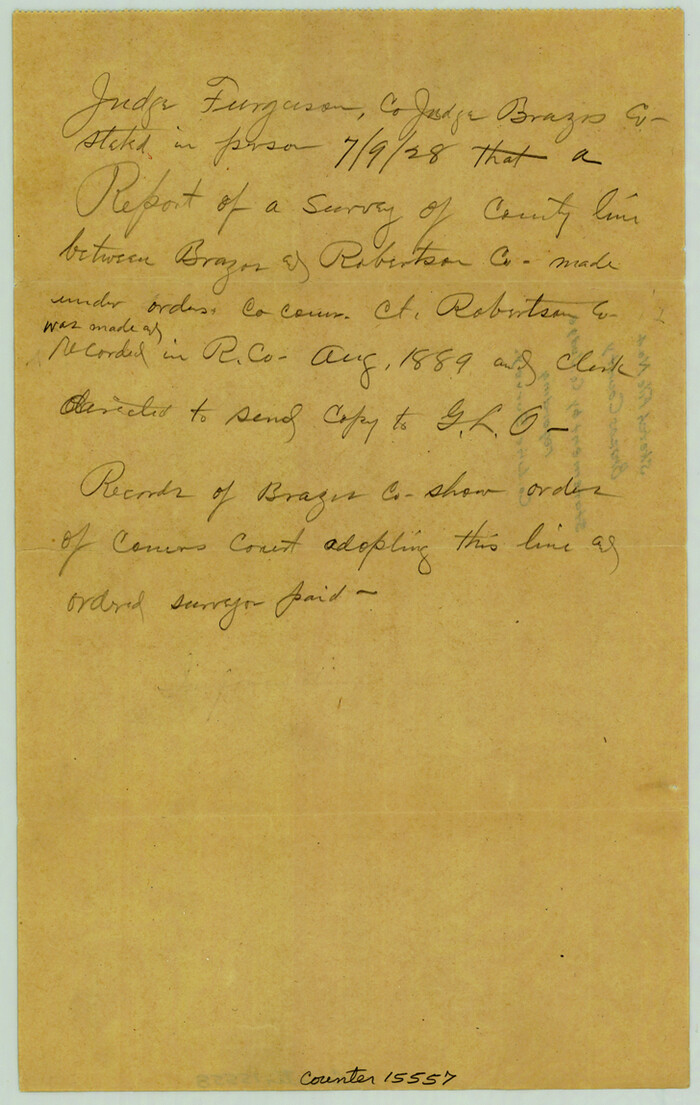
Brazos County Sketch File 4
1928
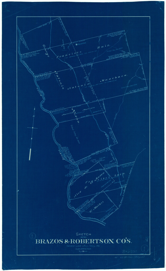
Brazos County Working Sketch 1
1911
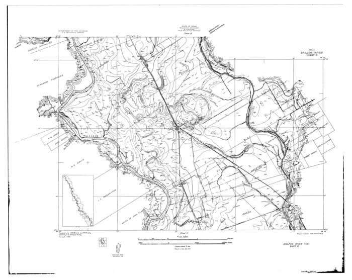
Brazos River, Brazos River Sheet 2
1926
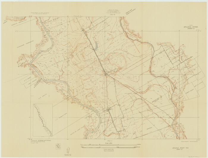
Brazos River, Brazos River Sheet 2
1926

Brazos River, Brazos River Sheet 2
1926

Brazos River, Brazos River Sheet 3
1926
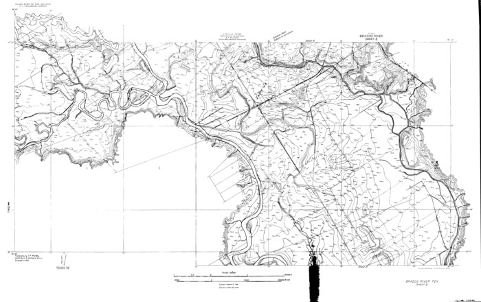
Brazos River, Brazos River Sheet 3
1926

Brazos River, Brazos River Sheet 3
1926
Brazos River, Brazos River Sheet 3
1926
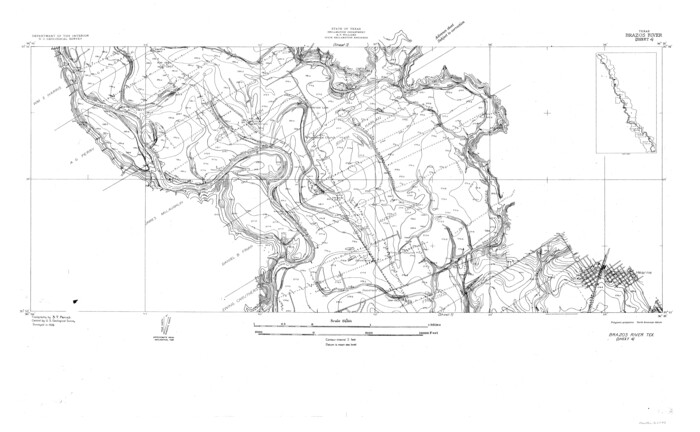
Brazos River, Brazos River Sheet 4
1926
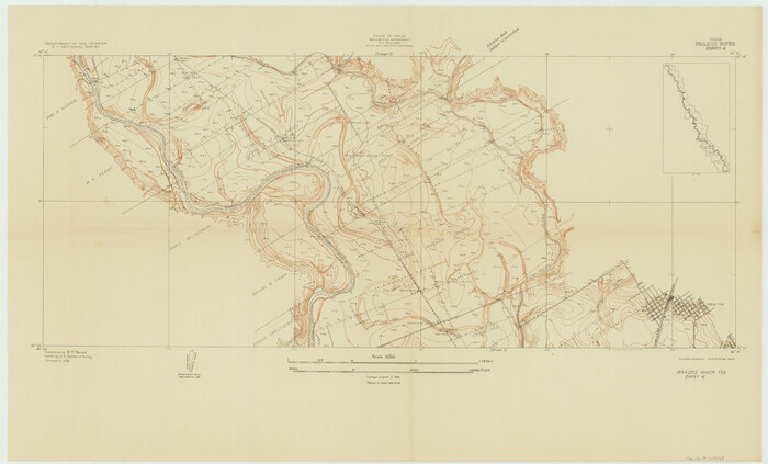
Brazos River, Brazos River Sheet 4
1926
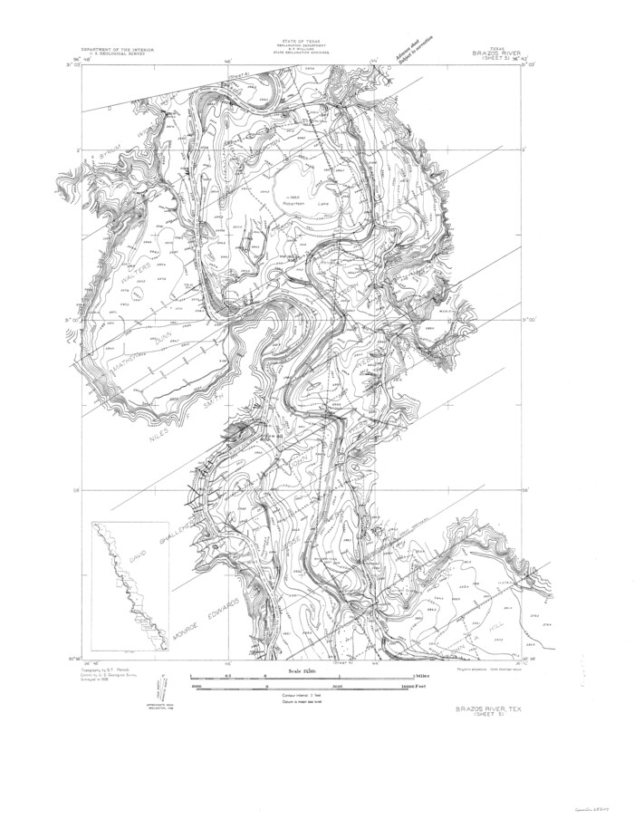
Brazos River, Brazos River Sheet 5
1926

Brazos River, Brazos River Sheet 5
1926

Brazos River, Brazos River Sheet 6
1926

Brazos River, Brazos River Sheet 6
1926

English Field Notes of the Spanish Archives - Book A-B
1835

English Field Notes of the Spanish Archives - Books BTB, GA, BT, and X
1835
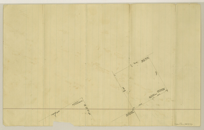
Falls County Sketch File 17
1872
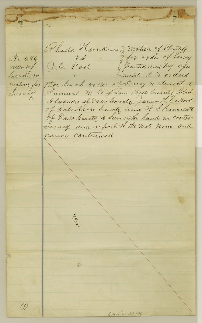
Falls County Sketch File 21a
1869

Falls County Sketch File 28

Falls County Sketch File 32
![1953, Field Notes of Mercer's Colony, Robertson, Nac[a]gdoches, Fannin, & Lamar Counties., General Map Collection](https://historictexasmaps.com/wmedia_w700/pdf_converted_jpg/qi_pdf_thumbnail_897.jpg)
Field Notes of Mercer's Colony, Robertson, Nac[a]gdoches, Fannin, & Lamar Counties.
1845
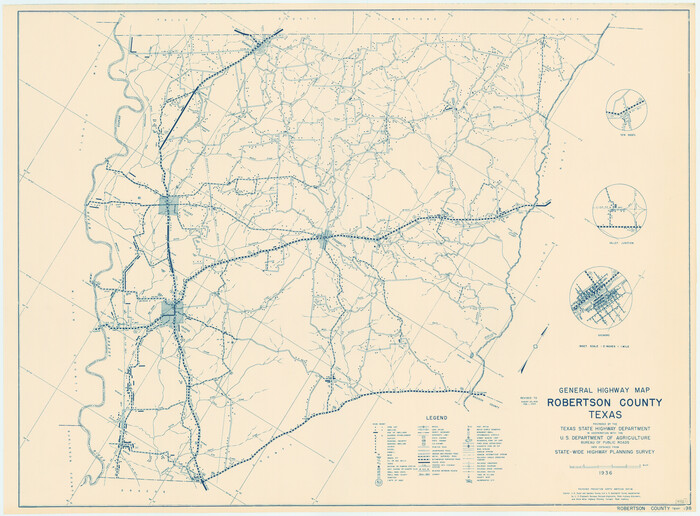
General Highway Map, Robertson County, Texas
1940
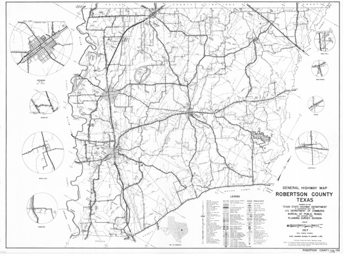
General Highway Map, Robertson County, Texas
1961
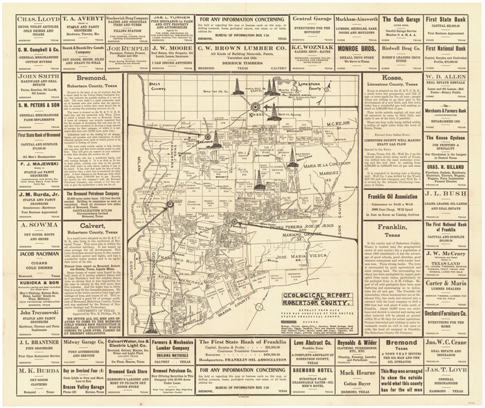
Geological Report on Robertson County
1918

International Railroad Map & Profile of the First Fifty Miles East of Brazos River
1877

International Railroad Map & Profile of the First Fifty Miles East of Brazos River
1877

Limestone County Sketch File 1

Limestone County Sketch File 28
1986

Brazos County Sketch File 4
1928
-
Size
11.5 x 7.3 inches
-
Map/Doc
15557
-
Creation Date
1928

Brazos County Working Sketch 1
1911
-
Size
26.5 x 16.3 inches
-
Map/Doc
67476
-
Creation Date
1911

Brazos River, Brazos River Sheet 2
1926
-
Size
25.0 x 31.4 inches
-
Map/Doc
65294
-
Creation Date
1926

Brazos River, Brazos River Sheet 2
1926
-
Size
22.3 x 29.4 inches
-
Map/Doc
69666
-
Creation Date
1926

Brazos River, Brazos River Sheet 2
1926
-
Size
25.2 x 31.0 inches
-
Map/Doc
78265
-
Creation Date
1926

Brazos River, Brazos River Sheet 3
1926
-
Size
23.6 x 35.2 inches
-
Map/Doc
65295
-
Creation Date
1926

Brazos River, Brazos River Sheet 3
1926
-
Size
21.8 x 34.6 inches
-
Map/Doc
65296
-
Creation Date
1926

Brazos River, Brazos River Sheet 3
1926
-
Size
27.4 x 39.7 inches
-
Map/Doc
69667
-
Creation Date
1926

Brazos River, Brazos River Sheet 3
1926
-
Size
21.3 x 36.0 inches
-
Map/Doc
78266
-
Creation Date
1926

Brazos River, Brazos River Sheet 4
1926
-
Size
19.7 x 32.0 inches
-
Map/Doc
65297
-
Creation Date
1926

Brazos River, Brazos River Sheet 4
1926
-
Size
19.4 x 32.1 inches
-
Map/Doc
69668
-
Creation Date
1926

Brazos River, Brazos River Sheet 5
1926
-
Size
29.4 x 22.5 inches
-
Map/Doc
65298
-
Creation Date
1926

Brazos River, Brazos River Sheet 5
1926
-
Size
27.4 x 21.7 inches
-
Map/Doc
69669
-
Creation Date
1926

Brazos River, Brazos River Sheet 6
1926
-
Size
29.0 x 24.3 inches
-
Map/Doc
65299
-
Creation Date
1926

Brazos River, Brazos River Sheet 6
1926
-
Size
27.9 x 23.0 inches
-
Map/Doc
69670
-
Creation Date
1926

English Field Notes of the Spanish Archives - Book A-B
1835
-
Map/Doc
96540
-
Creation Date
1835

English Field Notes of the Spanish Archives - Books BTB, GA, BT, and X
1835
-
Map/Doc
96554
-
Creation Date
1835

Falls County Sketch File 17
1872
-
Size
8.4 x 13.1 inches
-
Map/Doc
22377
-
Creation Date
1872

Falls County Sketch File 21a
1869
-
Size
13.0 x 8.2 inches
-
Map/Doc
22396
-
Creation Date
1869

Falls County Sketch File 28
-
Size
7.7 x 10.3 inches
-
Map/Doc
22438

Falls County Sketch File 32
-
Size
36.3 x 24.7 inches
-
Map/Doc
11468
![1953, Field Notes of Mercer's Colony, Robertson, Nac[a]gdoches, Fannin, & Lamar Counties., General Map Collection](https://historictexasmaps.com/wmedia_w700/pdf_converted_jpg/qi_pdf_thumbnail_897.jpg)
Field Notes of Mercer's Colony, Robertson, Nac[a]gdoches, Fannin, & Lamar Counties.
1845
-
Size
9.5 x 14.8 inches
-
Map/Doc
1953
-
Creation Date
1845

General Highway Map, Robertson County, Texas
1940
-
Size
18.3 x 24.8 inches
-
Map/Doc
79230
-
Creation Date
1940

General Highway Map, Robertson County, Texas
1961
-
Size
18.1 x 24.4 inches
-
Map/Doc
79641
-
Creation Date
1961

Geological Report on Robertson County
1918
-
Size
21.7 x 25.8 inches
-
Map/Doc
97084
-
Creation Date
1918
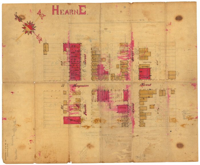
Hearne
1882
-
Size
19.3 x 23.4 inches
-
Map/Doc
83334
-
Creation Date
1882

International Railroad Map & Profile of the First Fifty Miles East of Brazos River
1877
-
Size
19.5 x 84.9 inches
-
Map/Doc
64463
-
Creation Date
1877

International Railroad Map & Profile of the First Fifty Miles East of Brazos River
1877
-
Size
18.8 x 45.7 inches
-
Map/Doc
64464
-
Creation Date
1877

Limestone County Sketch File 1
-
Size
9.8 x 8.1 inches
-
Map/Doc
30155

Limestone County Sketch File 28
1986
-
Size
11.2 x 8.5 inches
-
Map/Doc
30216
-
Creation Date
1986