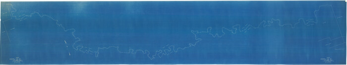
[Texas & Pacific Railway, Longview to Dallas]
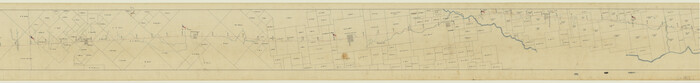
Print $40.00
- Digital $50.00
[Texas & Pacific Railway, Longview to Dallas]
1873
Size: 14.5 x 121.6 inches
64098
[Surveys along Mud Creek, Nacogdoches District]
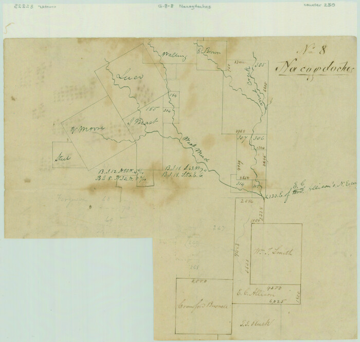
Print $2.00
- Digital $50.00
[Surveys along Mud Creek, Nacogdoches District]
Size: 7.7 x 8.1 inches
250
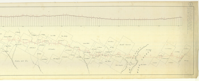
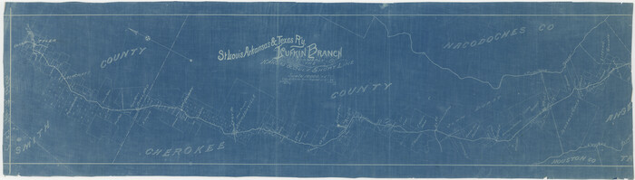
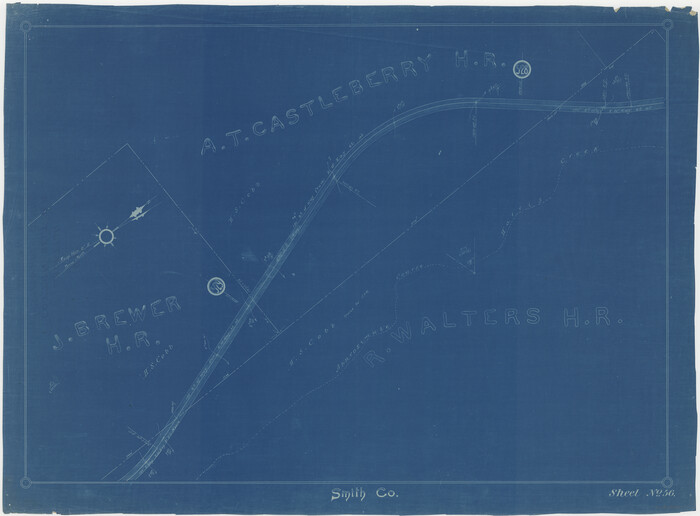
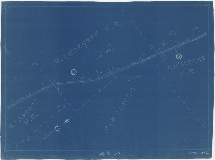
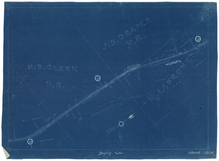
[St. L. S.-W. Ry. of Texas, Map of Lufkin Branch in Smith County, Texas]
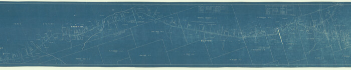
Print $40.00
- Digital $50.00
[St. L. S.-W. Ry. of Texas, Map of Lufkin Branch in Smith County, Texas]
1912
Size: 24.2 x 121.2 inches
64693
[Sketch for Mineral Application 26649-26650 - Sabine River, Harry A. Wolan]
Print $40.00
- Digital $50.00
[Sketch for Mineral Application 26649-26650 - Sabine River, Harry A. Wolan]
1931
Size: 36.9 x 72.2 inches
2852
[Sketch for Mineral Application 24070 - Smith and Wood Counties, R. A. Tofflemire]
Print $40.00
- Digital $50.00
[Sketch for Mineral Application 24070 - Smith and Wood Counties, R. A. Tofflemire]
1929
Size: 42.7 x 226.9 inches
65643
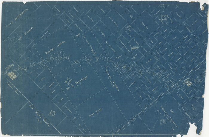
[Map of the Houston and G. N. R.R. and lands adjacent, from Troupe to the Texas Pacific R.R.]
Print $40.00
- Digital $50.00
[Map of the Houston and G. N. R.R. and lands adjacent, from Troupe to the Texas Pacific R.R.]
1873
Size: 20.2 x 49.3 inches
64628
[International & Great Northern Railroad, from Troupe to Overton]
Print $20.00
- Digital $50.00
[International & Great Northern Railroad, from Troupe to Overton]
1903
Size: 25.1 x 38.4 inches
64388
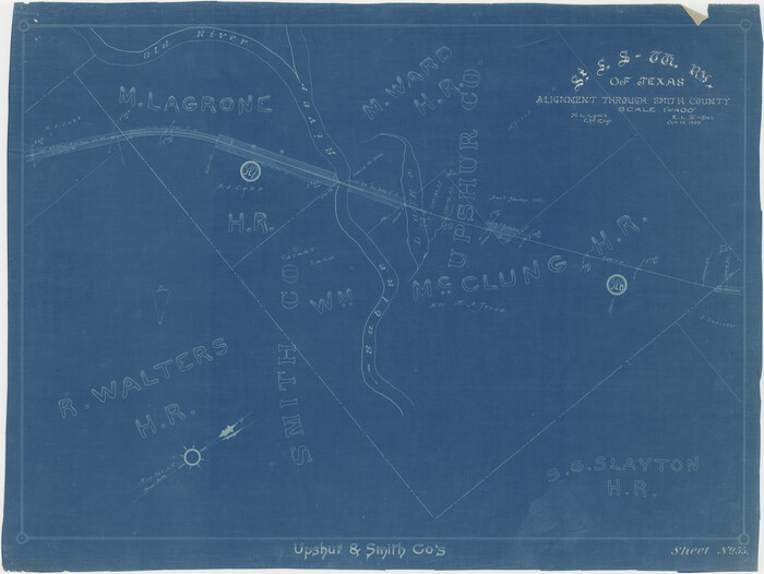
[Cotton Belt] St. Louis Southwestern Railway of Texas, Alignment through Smith County
Print $20.00
- Digital $50.00
[Cotton Belt] St. Louis Southwestern Railway of Texas, Alignment through Smith County
1903
Size: 21.4 x 28.4 inches
64373
[Cotton Belt] St. Louis Arkansas & Texas R'y, Lufkin Branch, Formely the Kansas & Gulf Short Line
Print $20.00
- Digital $50.00
[Cotton Belt] St. Louis Arkansas & Texas R'y, Lufkin Branch, Formely the Kansas & Gulf Short Line
1888
Size: 11.2 x 39.5 inches
64371
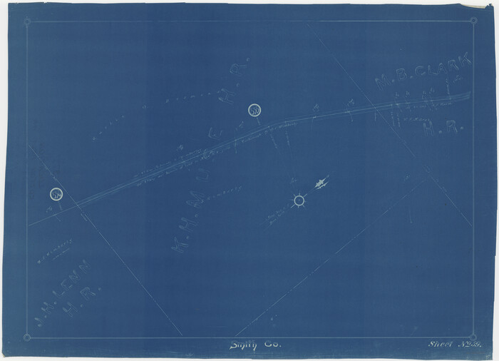
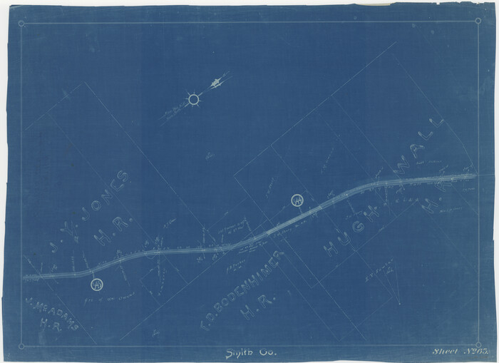
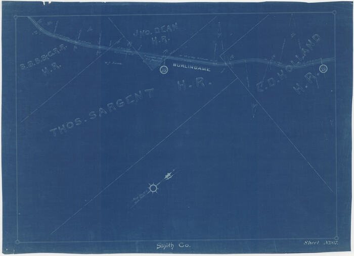
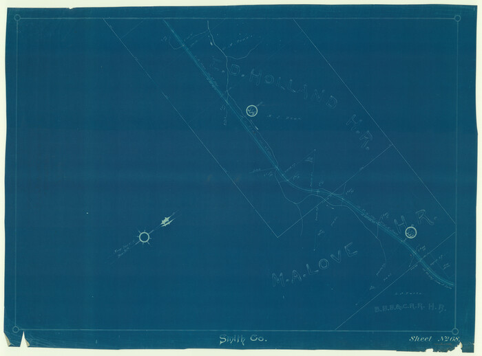
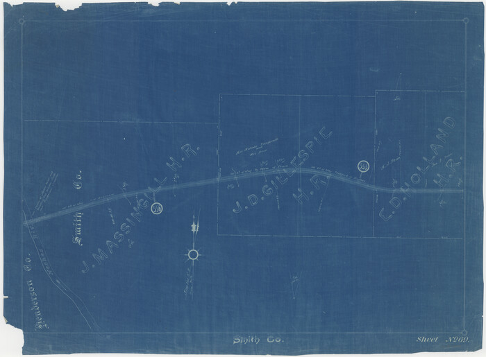
[Cotton Belt, St. Louis Southwestern Railway of Texas, Alignment through Smith County]
Print $20.00
- Digital $50.00
[Cotton Belt, St. Louis Southwestern Railway of Texas, Alignment through Smith County]
1903
Size: 21.5 x 29.3 inches
64374
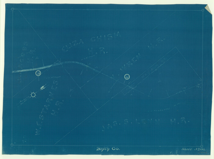
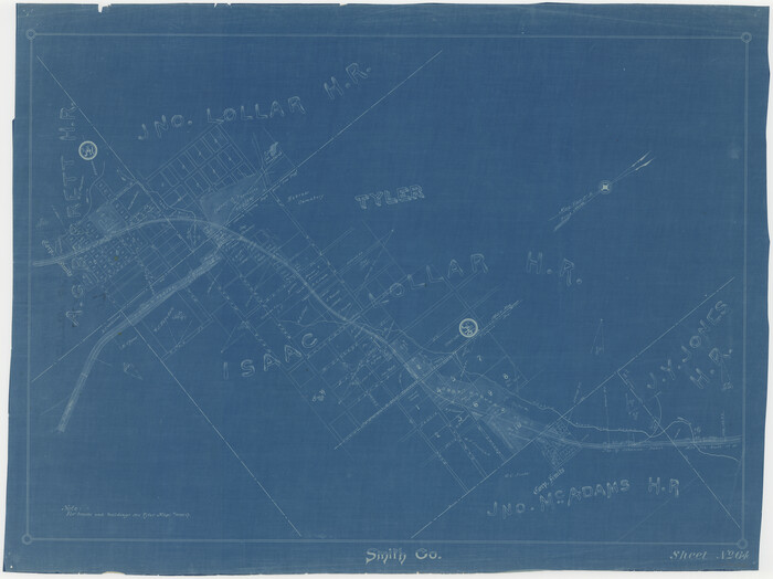
[Cotton Belt, St. Louis Southwestern Railway of Texas, Alignment through Smith County]
Print $20.00
- Digital $50.00
[Cotton Belt, St. Louis Southwestern Railway of Texas, Alignment through Smith County]
1903
Size: 21.3 x 28.5 inches
64375
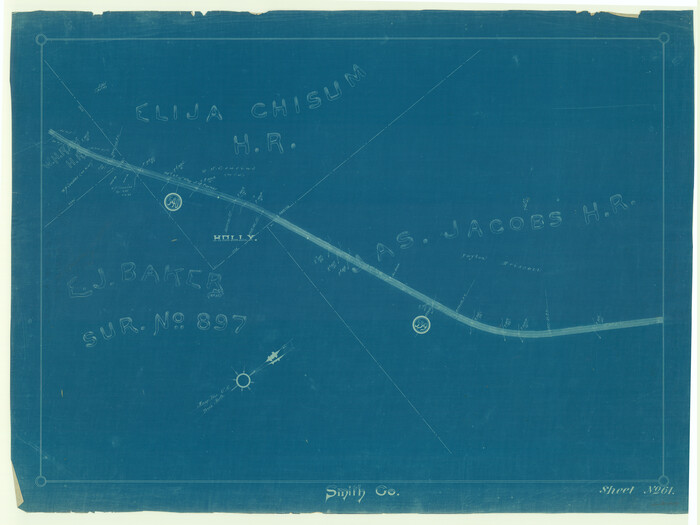
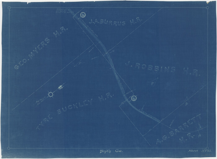
[Cotton Belt, St. Louis Southwestern Railway of Texas, Alignment through Smith County]
Print $20.00
- Digital $50.00
[Cotton Belt, St. Louis Southwestern Railway of Texas, Alignment through Smith County]
1903
Size: 22.0 x 29.3 inches
64376
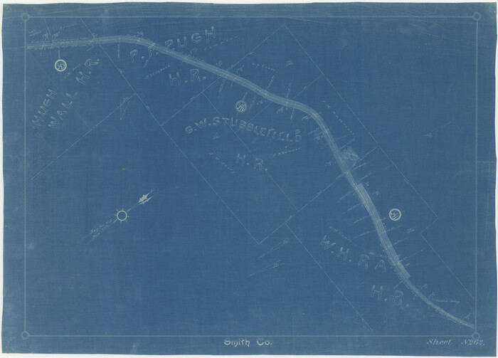
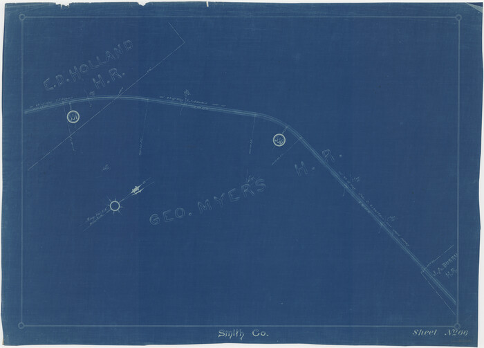
[Cotton Belt, St. Louis Southwestern Railway of Texas, Alignment through Smith County]
Print $20.00
- Digital $50.00
[Cotton Belt, St. Louis Southwestern Railway of Texas, Alignment through Smith County]
1903
Size: 21.7 x 30.0 inches
64377
[Cotton Belt, St. Louis Southwestern Railway of Texas, Alignment through Smith County]
Print $20.00
- Digital $50.00
[Cotton Belt, St. Louis Southwestern Railway of Texas, Alignment through Smith County]
1903
Size: 22.3 x 30.1 inches
64378
[Cotton Belt, St. Louis Southwestern Railway of Texas, Alignment through Smith County]
Print $20.00
- Digital $50.00
[Cotton Belt, St. Louis Southwestern Railway of Texas, Alignment through Smith County]
1903
Size: 22.6 x 30.1 inches
64379
[Cotton Belt, St. Louis Southwestern Railway of Texas, Alignment through Smith County]
Print $20.00
- Digital $50.00
[Cotton Belt, St. Louis Southwestern Railway of Texas, Alignment through Smith County]
1903
Size: 21.4 x 29.7 inches
64380
[Cotton Belt, St. Louis Southwestern Railway of Texas, Alignment through Smith County]
Print $20.00
- Digital $50.00
[Cotton Belt, St. Louis Southwestern Railway of Texas, Alignment through Smith County]
1903
Size: 21.3 x 29.4 inches
64381
[Cotton Belt, St. Louis Southwestern Railway of Texas, Alignment through Smith County]
Print $20.00
- Digital $50.00
[Cotton Belt, St. Louis Southwestern Railway of Texas, Alignment through Smith County]
1903
Size: 21.8 x 29.1 inches
64382
[Cotton Belt, St. Louis Southwestern Railway of Texas, Alignment through Smith County]
Print $20.00
- Digital $50.00
[Cotton Belt, St. Louis Southwestern Railway of Texas, Alignment through Smith County]
1903
Size: 21.5 x 29.4 inches
64383
[Cotton Belt, St. Louis Southwestern Railway of Texas, Alignment through Smith County]
Print $20.00
- Digital $50.00
[Cotton Belt, St. Louis Southwestern Railway of Texas, Alignment through Smith County]
1903
Size: 21.4 x 29.9 inches
64384
[Cotton Belt, St. Louis Southwestern Railway of Texas, Alignment through Smith County]
Print $20.00
- Digital $50.00
[Cotton Belt, St. Louis Southwestern Railway of Texas, Alignment through Smith County]
1903
Size: 21.6 x 29.8 inches
64385
[Cotton Belt, St. Louis Southwestern Railway of Texas, Alignment through Smith County]
Print $20.00
- Digital $50.00
[Cotton Belt, St. Louis Southwestern Railway of Texas, Alignment through Smith County]
1903
Size: 21.7 x 29.3 inches
64386
[Cotton Belt, St. Louis Southwestern Railway of Texas, Alignment through Smith County]
Print $20.00
- Digital $50.00
[Cotton Belt, St. Louis Southwestern Railway of Texas, Alignment through Smith County]
1903
Size: 21.7 x 29.5 inches
64387
VanZandt County Showing the Located Route of the Texas and Pacific R.R.

Print $20.00
- Digital $50.00
VanZandt County Showing the Located Route of the Texas and Pacific R.R.
1872
Size: 24.5 x 22.3 inches
64136
Van Zandt County Sketch File 7

Print $8.00
- Digital $50.00
Van Zandt County Sketch File 7
1849
Size: 5.2 x 7.4 inches
39375
St. Louis, Arkansas & Texas R'y, Lufkin Branch, Formerly the Kansas & Gulf Short Line

Print $20.00
- Digital $50.00
St. Louis, Arkansas & Texas R'y, Lufkin Branch, Formerly the Kansas & Gulf Short Line
1888
Size: 10.5 x 42.8 inches
64271
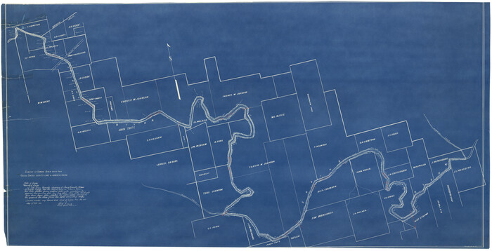
St. L. S.-W. Ry. of Texas, Map of Lufkin Branch in Smith County, Texas

Print $40.00
- Digital $50.00
St. L. S.-W. Ry. of Texas, Map of Lufkin Branch in Smith County, Texas
1912
Size: 24.3 x 122.9 inches
64692
St. L. S.-W. Ry. of Texas, Map of Lufkin Branch in Smith County, Texas

Print $20.00
- Digital $50.00
St. L. S.-W. Ry. of Texas, Map of Lufkin Branch in Smith County, Texas
1912
Size: 23.1 x 37.2 inches
64694
Smith County, Texas

Print $20.00
- Digital $50.00
Smith County, Texas
1880
Size: 23.7 x 29.2 inches
618
Smith County Working Sketch Graphic Index

Print $20.00
- Digital $50.00
Smith County Working Sketch Graphic Index
1948
Size: 44.7 x 41.1 inches
76699
[Texas & Pacific Railway, Longview to Dallas]
Print $40.00
- Digital $50.00
[Texas & Pacific Railway, Longview to Dallas]
1873
-
Size
14.5 x 121.6 inches
-
Map/Doc
64098
-
Creation Date
1873
[Surveys along Mud Creek, Nacogdoches District]
Print $2.00
- Digital $50.00
[Surveys along Mud Creek, Nacogdoches District]
-
Size
7.7 x 8.1 inches
-
Map/Doc
250
[St. L. S.-W. Ry. of Texas, Map of Lufkin Branch in Smith County, Texas]
Print $40.00
- Digital $50.00
[St. L. S.-W. Ry. of Texas, Map of Lufkin Branch in Smith County, Texas]
1912
-
Size
24.2 x 121.2 inches
-
Map/Doc
64693
-
Creation Date
1912
[Sketch for Mineral Application 26649-26650 - Sabine River, Harry A. Wolan]
Print $40.00
- Digital $50.00
[Sketch for Mineral Application 26649-26650 - Sabine River, Harry A. Wolan]
1931
-
Size
36.9 x 72.2 inches
-
Map/Doc
2852
-
Creation Date
1931
[Sketch for Mineral Application 24070 - Smith and Wood Counties, R. A. Tofflemire]
Print $40.00
- Digital $50.00
[Sketch for Mineral Application 24070 - Smith and Wood Counties, R. A. Tofflemire]
1929
-
Size
42.7 x 226.9 inches
-
Map/Doc
65643
-
Creation Date
1929
[Map of the Houston and G. N. R.R. and lands adjacent, from Troupe to the Texas Pacific R.R.]
Print $40.00
- Digital $50.00
[Map of the Houston and G. N. R.R. and lands adjacent, from Troupe to the Texas Pacific R.R.]
1873
-
Size
20.2 x 49.3 inches
-
Map/Doc
64628
-
Creation Date
1873
[International & Great Northern Railroad, from Troupe to Overton]
Print $20.00
- Digital $50.00
[International & Great Northern Railroad, from Troupe to Overton]
1903
-
Size
25.1 x 38.4 inches
-
Map/Doc
64388
-
Creation Date
1903
[Cotton Belt] St. Louis Southwestern Railway of Texas, Alignment through Smith County
Print $20.00
- Digital $50.00
[Cotton Belt] St. Louis Southwestern Railway of Texas, Alignment through Smith County
1903
-
Size
21.4 x 28.4 inches
-
Map/Doc
64373
-
Creation Date
1903
[Cotton Belt] St. Louis Arkansas & Texas R'y, Lufkin Branch, Formely the Kansas & Gulf Short Line
Print $20.00
- Digital $50.00
[Cotton Belt] St. Louis Arkansas & Texas R'y, Lufkin Branch, Formely the Kansas & Gulf Short Line
1888
-
Size
11.2 x 39.5 inches
-
Map/Doc
64371
-
Creation Date
1888
[Cotton Belt, St. Louis Southwestern Railway of Texas, Alignment through Smith County]
Print $20.00
- Digital $50.00
[Cotton Belt, St. Louis Southwestern Railway of Texas, Alignment through Smith County]
1903
-
Size
21.5 x 29.3 inches
-
Map/Doc
64374
-
Creation Date
1903
[Cotton Belt, St. Louis Southwestern Railway of Texas, Alignment through Smith County]
Print $20.00
- Digital $50.00
[Cotton Belt, St. Louis Southwestern Railway of Texas, Alignment through Smith County]
1903
-
Size
21.3 x 28.5 inches
-
Map/Doc
64375
-
Creation Date
1903
[Cotton Belt, St. Louis Southwestern Railway of Texas, Alignment through Smith County]
Print $20.00
- Digital $50.00
[Cotton Belt, St. Louis Southwestern Railway of Texas, Alignment through Smith County]
1903
-
Size
22.0 x 29.3 inches
-
Map/Doc
64376
-
Creation Date
1903
[Cotton Belt, St. Louis Southwestern Railway of Texas, Alignment through Smith County]
Print $20.00
- Digital $50.00
[Cotton Belt, St. Louis Southwestern Railway of Texas, Alignment through Smith County]
1903
-
Size
21.7 x 30.0 inches
-
Map/Doc
64377
-
Creation Date
1903
[Cotton Belt, St. Louis Southwestern Railway of Texas, Alignment through Smith County]
Print $20.00
- Digital $50.00
[Cotton Belt, St. Louis Southwestern Railway of Texas, Alignment through Smith County]
1903
-
Size
22.3 x 30.1 inches
-
Map/Doc
64378
-
Creation Date
1903
[Cotton Belt, St. Louis Southwestern Railway of Texas, Alignment through Smith County]
Print $20.00
- Digital $50.00
[Cotton Belt, St. Louis Southwestern Railway of Texas, Alignment through Smith County]
1903
-
Size
22.6 x 30.1 inches
-
Map/Doc
64379
-
Creation Date
1903
[Cotton Belt, St. Louis Southwestern Railway of Texas, Alignment through Smith County]
Print $20.00
- Digital $50.00
[Cotton Belt, St. Louis Southwestern Railway of Texas, Alignment through Smith County]
1903
-
Size
21.4 x 29.7 inches
-
Map/Doc
64380
-
Creation Date
1903
[Cotton Belt, St. Louis Southwestern Railway of Texas, Alignment through Smith County]
Print $20.00
- Digital $50.00
[Cotton Belt, St. Louis Southwestern Railway of Texas, Alignment through Smith County]
1903
-
Size
21.3 x 29.4 inches
-
Map/Doc
64381
-
Creation Date
1903
[Cotton Belt, St. Louis Southwestern Railway of Texas, Alignment through Smith County]
Print $20.00
- Digital $50.00
[Cotton Belt, St. Louis Southwestern Railway of Texas, Alignment through Smith County]
1903
-
Size
21.8 x 29.1 inches
-
Map/Doc
64382
-
Creation Date
1903
[Cotton Belt, St. Louis Southwestern Railway of Texas, Alignment through Smith County]
Print $20.00
- Digital $50.00
[Cotton Belt, St. Louis Southwestern Railway of Texas, Alignment through Smith County]
1903
-
Size
21.5 x 29.4 inches
-
Map/Doc
64383
-
Creation Date
1903
[Cotton Belt, St. Louis Southwestern Railway of Texas, Alignment through Smith County]
Print $20.00
- Digital $50.00
[Cotton Belt, St. Louis Southwestern Railway of Texas, Alignment through Smith County]
1903
-
Size
21.4 x 29.9 inches
-
Map/Doc
64384
-
Creation Date
1903
[Cotton Belt, St. Louis Southwestern Railway of Texas, Alignment through Smith County]
Print $20.00
- Digital $50.00
[Cotton Belt, St. Louis Southwestern Railway of Texas, Alignment through Smith County]
1903
-
Size
21.6 x 29.8 inches
-
Map/Doc
64385
-
Creation Date
1903
[Cotton Belt, St. Louis Southwestern Railway of Texas, Alignment through Smith County]
Print $20.00
- Digital $50.00
[Cotton Belt, St. Louis Southwestern Railway of Texas, Alignment through Smith County]
1903
-
Size
21.7 x 29.3 inches
-
Map/Doc
64386
-
Creation Date
1903
[Cotton Belt, St. Louis Southwestern Railway of Texas, Alignment through Smith County]
Print $20.00
- Digital $50.00
[Cotton Belt, St. Louis Southwestern Railway of Texas, Alignment through Smith County]
1903
-
Size
21.7 x 29.5 inches
-
Map/Doc
64387
-
Creation Date
1903
VanZandt County Showing the Located Route of the Texas and Pacific R.R.
Print $20.00
- Digital $50.00
VanZandt County Showing the Located Route of the Texas and Pacific R.R.
1872
-
Size
24.5 x 22.3 inches
-
Map/Doc
64136
-
Creation Date
1872
Van Zandt County Sketch File 7
Print $8.00
- Digital $50.00
Van Zandt County Sketch File 7
1849
-
Size
5.2 x 7.4 inches
-
Map/Doc
39375
-
Creation Date
1849
St. Louis, Arkansas & Texas R'y, Lufkin Branch, Formerly the Kansas & Gulf Short Line
Print $20.00
- Digital $50.00
St. Louis, Arkansas & Texas R'y, Lufkin Branch, Formerly the Kansas & Gulf Short Line
1888
-
Size
10.5 x 42.8 inches
-
Map/Doc
64271
-
Creation Date
1888
St. L. S.-W. Ry. of Texas, Map of Lufkin Branch in Smith County, Texas
Print $40.00
- Digital $50.00
St. L. S.-W. Ry. of Texas, Map of Lufkin Branch in Smith County, Texas
1912
-
Size
24.3 x 122.9 inches
-
Map/Doc
64692
-
Creation Date
1912
St. L. S.-W. Ry. of Texas, Map of Lufkin Branch in Smith County, Texas
Print $20.00
- Digital $50.00
St. L. S.-W. Ry. of Texas, Map of Lufkin Branch in Smith County, Texas
1912
-
Size
23.1 x 37.2 inches
-
Map/Doc
64694
-
Creation Date
1912
Smith County, Texas
Print $20.00
- Digital $50.00
Smith County, Texas
1880
-
Size
23.7 x 29.2 inches
-
Map/Doc
618
-
Creation Date
1880
Smith County Working Sketch Graphic Index
Print $20.00
- Digital $50.00
Smith County Working Sketch Graphic Index
1948
-
Size
44.7 x 41.1 inches
-
Map/Doc
76699
-
Creation Date
1948