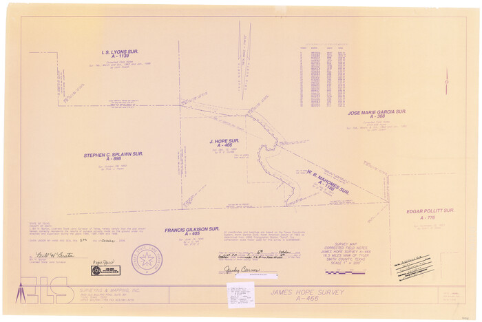
Smith County Rolled Sketch 8
2006
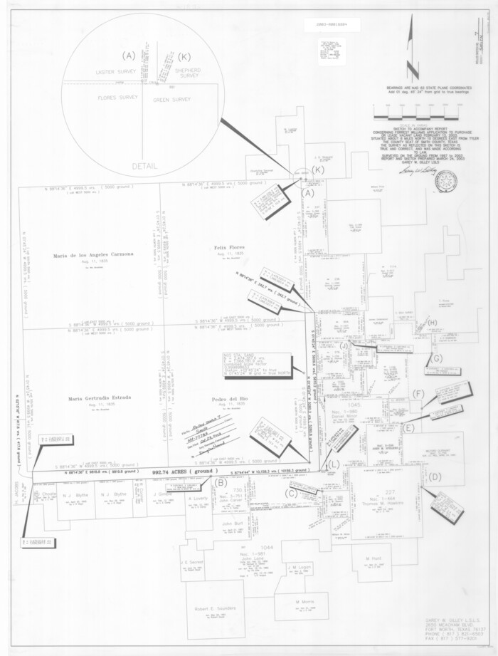
Smith County Rolled Sketch 7
2003

Smith County Rolled Sketch 6
1999
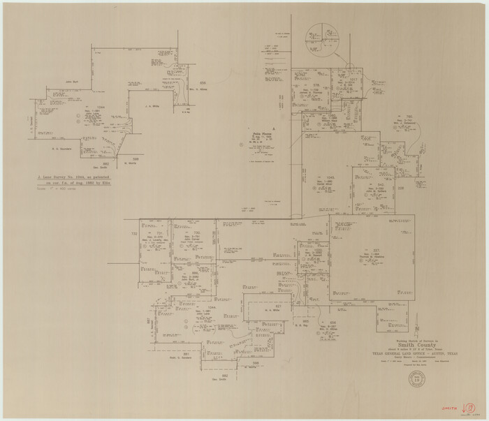
Smith County Working Sketch 19
1997

Smith County Working Sketch 18
1996
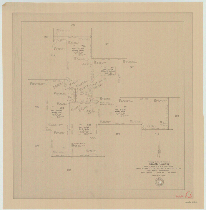
Smith County Working Sketch 17
1994

Smith County Rolled Sketch 6A3
1990

Smith County Working Sketch 16
1988
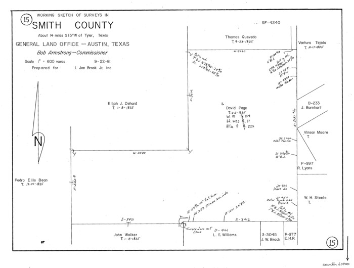
Smith County Working Sketch 15
1981
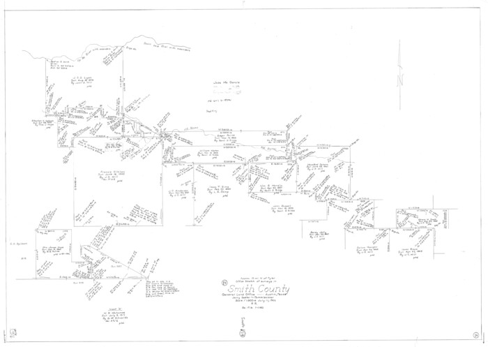
Smith County Working Sketch 14
1966

Smith County Rolled Sketch 6E1
1966
Smith County Sketch File 16
1966
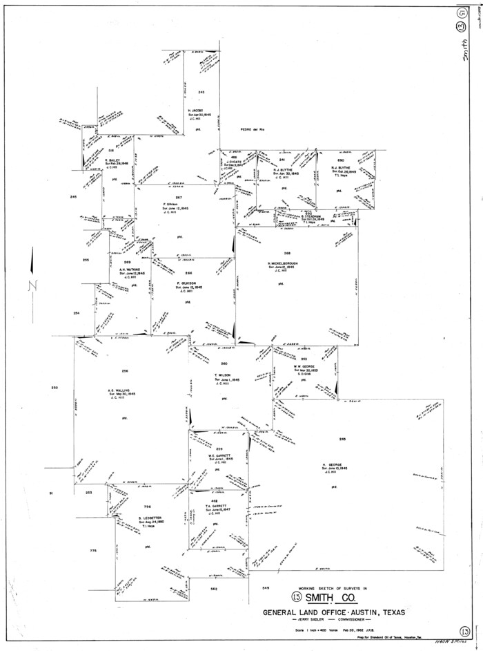
Smith County Working Sketch 13
1962
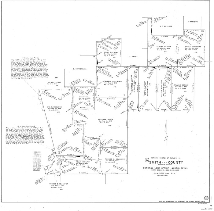
Smith County Working Sketch 12
1961

General Highway Map, Smith County, Texas
1961
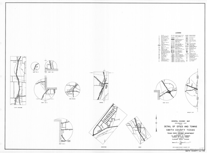
General Highway Map. Detail of Cities and Towns in Smith County, Texas
1961

General Highway Map. Detail of Cities and Towns in Smith County, Texas. City Map, Tyler, Smith County, Texas
1961
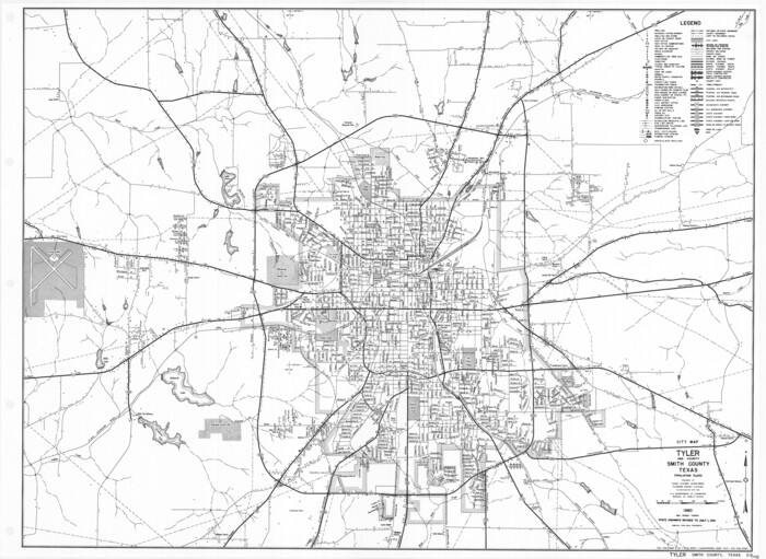
General Highway Map. Detail of Cities and Towns in Smith County, Texas. City Map, Tyler and vicinity, Smith County, Texas
1961

Smith County Working Sketch 11
1960

Smith County Rolled Sketch 6E2
1960
Henderson County Sketch File 23
1956
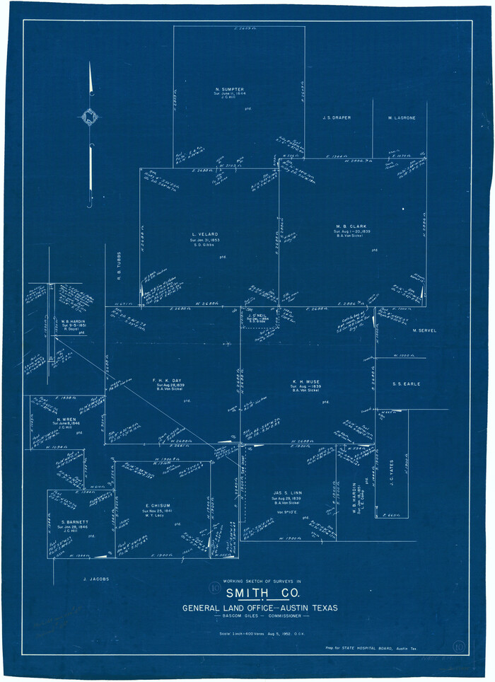
Smith County Working Sketch 10
1952

Smith County Rolled Sketch 6B
1949
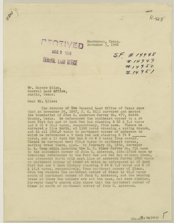
Smith County Sketch File 15
1948
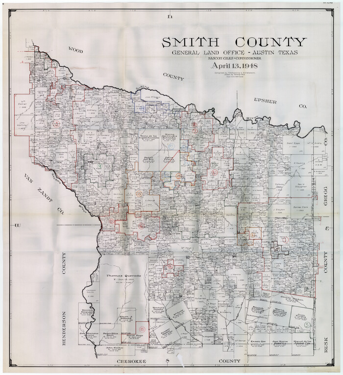
Smith County Working Sketch Graphic Index
1948
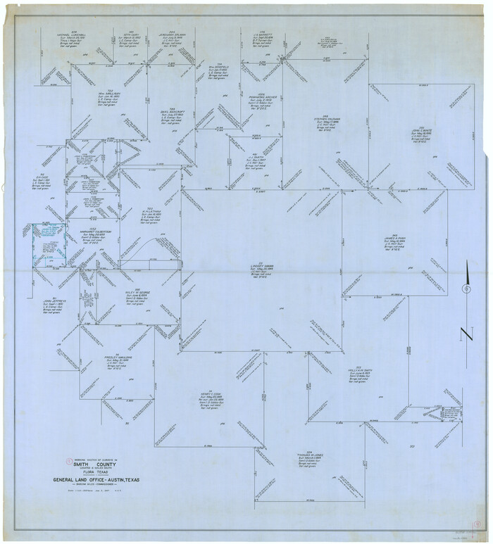
Smith County Working Sketch 9
1947

Smith County Rolled Sketch 8
2006
-
Size
24.7 x 37.0 inches
-
Map/Doc
95411
-
Creation Date
2006

Smith County Rolled Sketch 7
2003
-
Size
46.4 x 35.3 inches
-
Map/Doc
80141
-
Creation Date
2003

Smith County Rolled Sketch 6
1999
-
Size
43.3 x 30.0 inches
-
Map/Doc
10699
-
Creation Date
1999

Smith County Working Sketch 19
1997
-
Size
31.4 x 36.5 inches
-
Map/Doc
63904
-
Creation Date
1997

Smith County Working Sketch 18
1996
-
Size
50.4 x 37.1 inches
-
Map/Doc
63903
-
Creation Date
1996

Smith County Working Sketch 17
1994
-
Size
24.6 x 24.2 inches
-
Map/Doc
63902
-
Creation Date
1994

Smith County Rolled Sketch 6A3
1990
-
Size
48.6 x 36.8 inches
-
Map/Doc
10698
-
Creation Date
1990

Smith County Working Sketch 16
1988
-
Size
33.6 x 44.9 inches
-
Map/Doc
63901
-
Creation Date
1988

Smith County Working Sketch 15
1981
-
Size
13.4 x 17.6 inches
-
Map/Doc
63900
-
Creation Date
1981

Smith County Working Sketch 14
1966
-
Size
34.9 x 49.2 inches
-
Map/Doc
63899
-
Creation Date
1966

Smith County Rolled Sketch 6E1
1966
-
Size
27.4 x 22.7 inches
-
Map/Doc
10612
-
Creation Date
1966

Smith County Sketch File 16
1966
-
Size
10.8 x 7.3 inches
-
Map/Doc
36781
-
Creation Date
1966

Smith County Working Sketch 13
1962
-
Size
36.8 x 27.4 inches
-
Map/Doc
63898
-
Creation Date
1962

Smith County Working Sketch 12
1961
-
Size
30.3 x 30.6 inches
-
Map/Doc
63897
-
Creation Date
1961

General Highway Map, Smith County, Texas
1961
-
Size
25.1 x 18.3 inches
-
Map/Doc
79654
-
Creation Date
1961

General Highway Map. Detail of Cities and Towns in Smith County, Texas
1961
-
Size
18.3 x 24.6 inches
-
Map/Doc
79655
-
Creation Date
1961

General Highway Map. Detail of Cities and Towns in Smith County, Texas. City Map, Tyler, Smith County, Texas
1961
-
Size
18.1 x 24.9 inches
-
Map/Doc
79656
-
Creation Date
1961

General Highway Map. Detail of Cities and Towns in Smith County, Texas. City Map, Tyler and vicinity, Smith County, Texas
1961
-
Size
18.2 x 24.9 inches
-
Map/Doc
79657
-
Creation Date
1961

Smith County Working Sketch 11
1960
-
Size
18.6 x 21.6 inches
-
Map/Doc
63896
-
Creation Date
1960

Smith County Rolled Sketch 6E2
1960
-
Size
27.6 x 22.7 inches
-
Map/Doc
10613
-
Creation Date
1960

Henderson County Sketch File 23
1956
-
Size
9.1 x 9.1 inches
-
Map/Doc
26372
-
Creation Date
1956

Smith County Working Sketch 10
1952
-
Size
33.4 x 24.2 inches
-
Map/Doc
63895
-
Creation Date
1952

Smith County Rolled Sketch 6B
1949
-
Size
91.7 x 38.5 inches
-
Map/Doc
10700
-
Creation Date
1949

Smith County
1948
-
Size
45.9 x 42.2 inches
-
Map/Doc
63039
-
Creation Date
1948
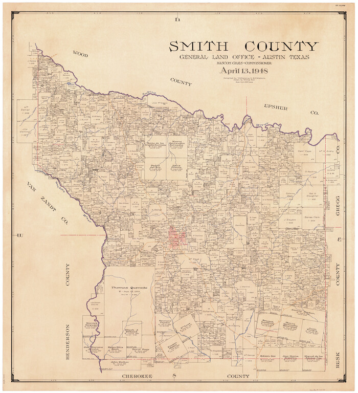
Smith County
1948
-
Size
45.2 x 41.6 inches
-
Map/Doc
73290
-
Creation Date
1948
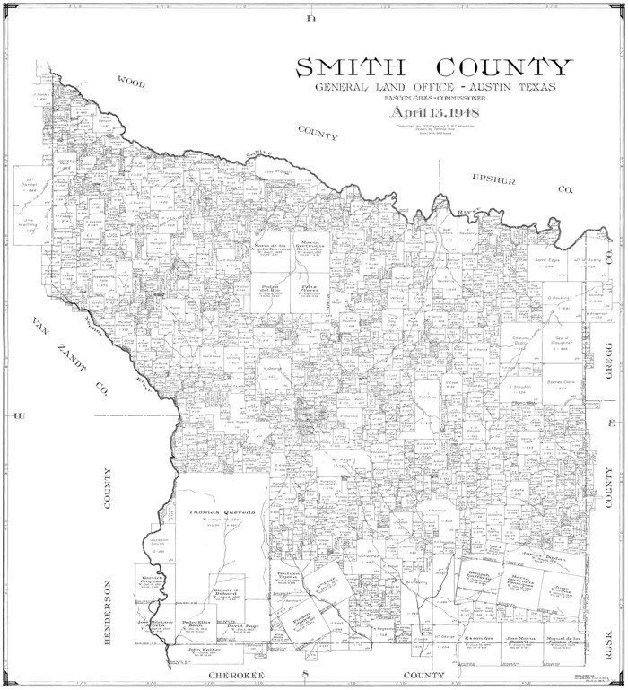
Smith County
1948
-
Size
43.3 x 39.4 inches
-
Map/Doc
77423
-
Creation Date
1948

Smith County
1948
-
Size
46.2 x 42.6 inches
-
Map/Doc
95641
-
Creation Date
1948

Smith County Sketch File 15
1948
-
Size
11.2 x 8.8 inches
-
Map/Doc
36777
-
Creation Date
1948

Smith County Working Sketch Graphic Index
1948
-
Size
44.7 x 41.1 inches
-
Map/Doc
76699
-
Creation Date
1948

Smith County Working Sketch 9
1947
-
Size
48.8 x 44.2 inches
-
Map/Doc
63894
-
Creation Date
1947