Cherokee County Sketch File 29


Print $2.00
- Digital $50.00
Cherokee County Sketch File 29
Size: 12.9 x 8.2 inches
18175
Cherokee County Sketch File 9


Print $8.00
- Digital $50.00
Cherokee County Sketch File 9
1853
Size: 5.6 x 4.2 inches
18132
English Field Notes of the Spanish Archives - Book J. Strode


English Field Notes of the Spanish Archives - Book J. Strode
1835
96549
English Field Notes of the Spanish Archives - Books JMH, MCMCHB, TGI


English Field Notes of the Spanish Archives - Books JMH, MCMCHB, TGI
1835
96547
English Field Notes of the Spanish Archives - Books SAS, DB4, GWS, JWB, and JWB3


English Field Notes of the Spanish Archives - Books SAS, DB4, GWS, JWB, and JWB3
1835
96551
General Highway Map, Smith County, Texas
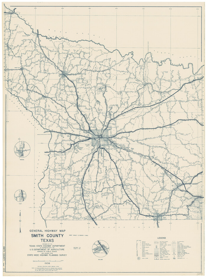

Print $20.00
General Highway Map, Smith County, Texas
1939
Size: 24.9 x 18.4 inches
79244
General Highway Map, Smith County, Texas


Print $20.00
General Highway Map, Smith County, Texas
1961
Size: 25.1 x 18.3 inches
79654
General Highway Map. Detail of Cities and Towns in Smith County, Texas
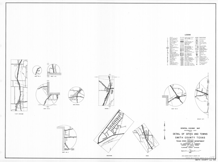

Print $20.00
General Highway Map. Detail of Cities and Towns in Smith County, Texas
1961
Size: 18.3 x 24.6 inches
79655
General Highway Map. Detail of Cities and Towns in Smith County, Texas. City Map, Tyler, Smith County, Texas


Print $20.00
General Highway Map. Detail of Cities and Towns in Smith County, Texas. City Map, Tyler, Smith County, Texas
1961
Size: 18.1 x 24.9 inches
79656
General Highway Map. Detail of Cities and Towns in Smith County, Texas. City Map, Tyler and vicinity, Smith County, Texas
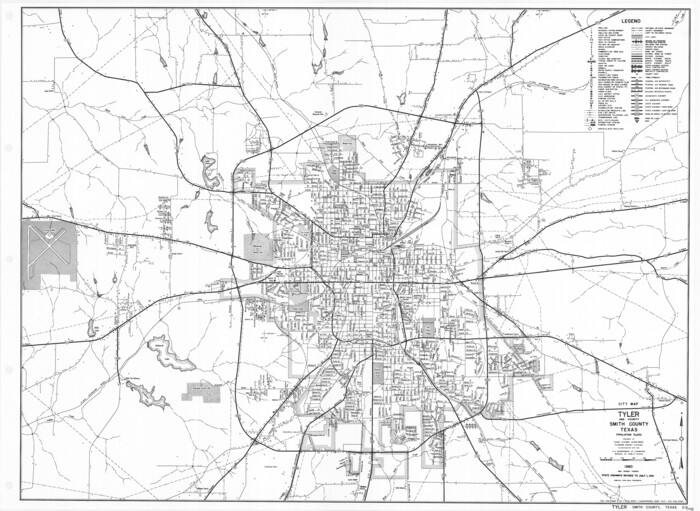

Print $20.00
General Highway Map. Detail of Cities and Towns in Smith County, Texas. City Map, Tyler and vicinity, Smith County, Texas
1961
Size: 18.2 x 24.9 inches
79657
Gregg County Rolled Sketch 16


Print $20.00
- Digital $50.00
Gregg County Rolled Sketch 16
1942
Size: 29.0 x 36.7 inches
6038
Gregg County Rolled Sketch 16A
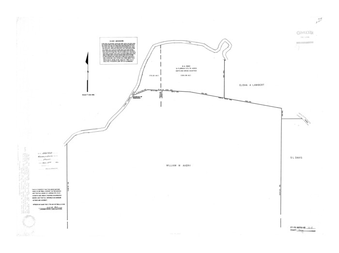

Print $20.00
- Digital $50.00
Gregg County Rolled Sketch 16A
1942
Size: 30.1 x 40.4 inches
6039
Gregg County Sketch File 1B


Print $4.00
- Digital $50.00
Gregg County Sketch File 1B
1848
Size: 12.8 x 8.4 inches
24538
Gregg County Sketch File 1G


Print $2.00
- Digital $50.00
Gregg County Sketch File 1G
Size: 6.2 x 7.0 inches
24549
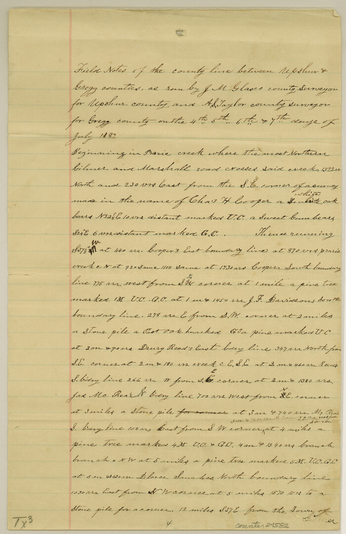
Gregg County Sketch File 8

Print $28.00
- Digital $50.00
Gregg County Sketch File 8
1931
Size: 12.9 x 8.3 inches
24582
Gregg County Working Sketch 15


Print $20.00
- Digital $50.00
Gregg County Working Sketch 15
1941
Size: 24.8 x 29.5 inches
63282
Henderson County Sketch File 23

Print $38.00
- Digital $50.00
Henderson County Sketch File 23
1956
Size: 9.1 x 9.1 inches
26372
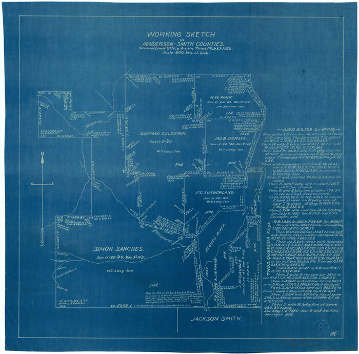
Henderson County Working Sketch 8

Print $20.00
- Digital $50.00
Henderson County Working Sketch 8
1922
Size: 15.9 x 16.1 inches
66141
Houston & Great Northern R.R. from Troupe in Smith Co. the point of junction with International R.R. to Mineola in Wood Co. the point of junction with T. & P. R.R.

Print $22.00
- Digital $50.00
Houston & Great Northern R.R. from Troupe in Smith Co. the point of junction with International R.R. to Mineola in Wood Co. the point of junction with T. & P. R.R.
1873
Size: 21.2 x 8.6 inches
64301
Houston & Great Northern RR through Smith & other counties


Print $66.00
- Digital $50.00
Houston & Great Northern RR through Smith & other counties
1872
Size: 14.2 x 8.4 inches
64339
Map of Red River Division of the International & Great Northern Railroad


Print $40.00
- Digital $50.00
Map of Red River Division of the International & Great Northern Railroad
Size: 24.1 x 107.0 inches
64476
Map of Smith County
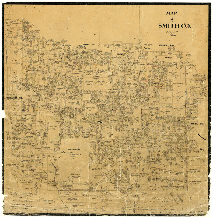

Print $20.00
- Digital $50.00
Map of Smith County
1855
Size: 21.9 x 21.3 inches
4038
Map of Smith County
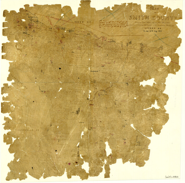

Print $20.00
- Digital $50.00
Map of Smith County
1872
Size: 19.2 x 19.3 inches
4039
Map of Smith County


Print $20.00
- Digital $50.00
Map of Smith County
1905
Size: 29.8 x 29.7 inches
4041
Map of Smith County
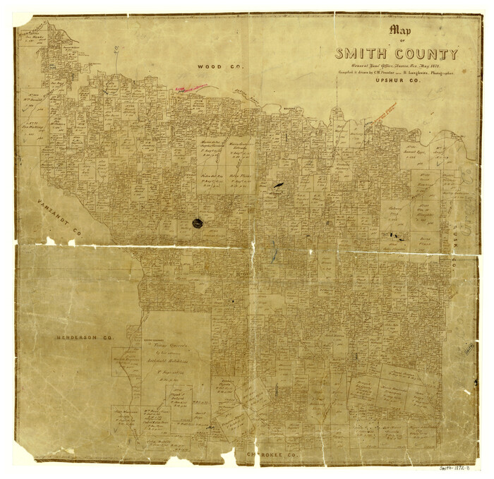

Print $20.00
- Digital $50.00
Map of Smith County
1872
Size: 20.0 x 20.6 inches
4625
Map of Van Zandt County, Texas


Print $20.00
- Digital $50.00
Map of Van Zandt County, Texas
1879
Size: 20.6 x 21.7 inches
443
Map of Wood County, Texas


Print $20.00
- Digital $50.00
Map of Wood County, Texas
1879
Size: 17.5 x 17.1 inches
659
Map of the Houston and G. N. R.R. and lands adjacent, from Troupe to the Texas Pacific R.R.


Print $40.00
- Digital $50.00
Map of the Houston and G. N. R.R. and lands adjacent, from Troupe to the Texas Pacific R.R.
Size: 21.2 x 92.0 inches
64627
Mud Creek in Nacogdoches District
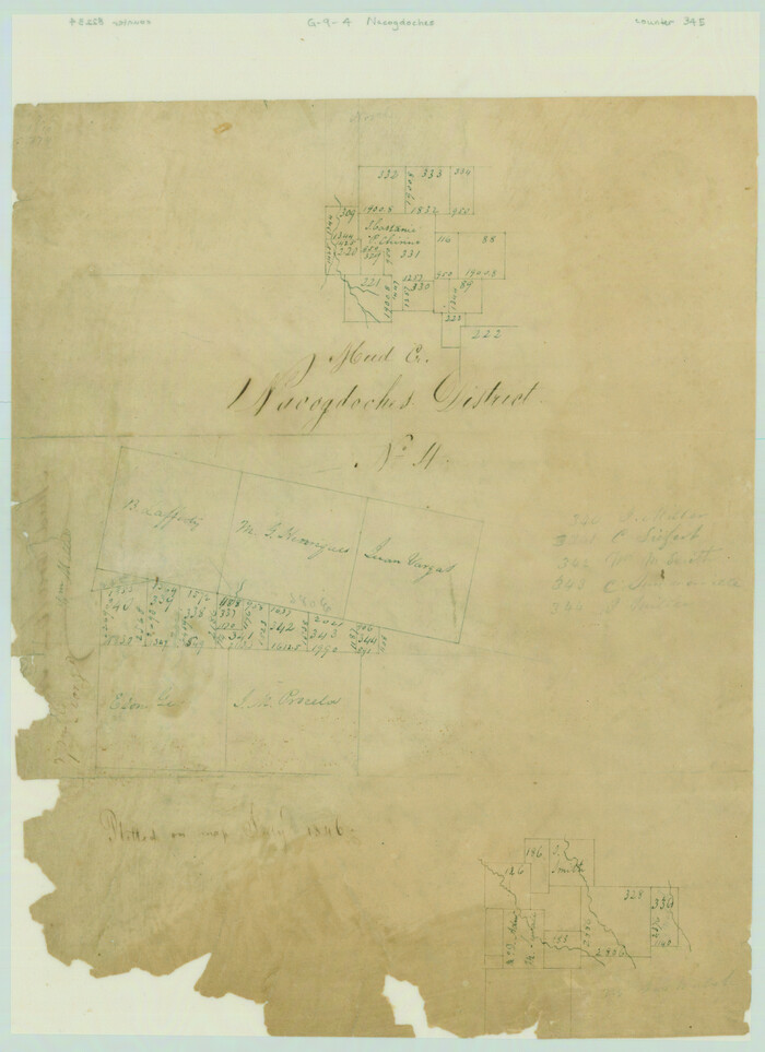

Print $2.00
- Digital $50.00
Mud Creek in Nacogdoches District
1846
Size: 10.7 x 7.8 inches
345
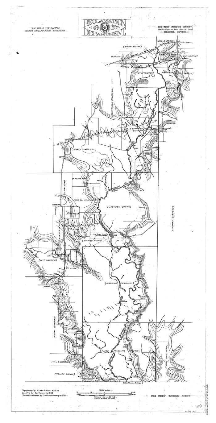
Neches River, Big Eddy Bridge Sheet

Print $20.00
- Digital $50.00
Neches River, Big Eddy Bridge Sheet
1938
Size: 41.1 x 21.0 inches
65084
Cherokee County Sketch File 29


Print $2.00
- Digital $50.00
Cherokee County Sketch File 29
-
Size
12.9 x 8.2 inches
-
Map/Doc
18175
Cherokee County Sketch File 9


Print $8.00
- Digital $50.00
Cherokee County Sketch File 9
1853
-
Size
5.6 x 4.2 inches
-
Map/Doc
18132
-
Creation Date
1853
English Field Notes of the Spanish Archives - Book J. Strode


English Field Notes of the Spanish Archives - Book J. Strode
1835
-
Map/Doc
96549
-
Creation Date
1835
English Field Notes of the Spanish Archives - Books JMH, MCMCHB, TGI


English Field Notes of the Spanish Archives - Books JMH, MCMCHB, TGI
1835
-
Map/Doc
96547
-
Creation Date
1835
English Field Notes of the Spanish Archives - Books SAS, DB4, GWS, JWB, and JWB3


English Field Notes of the Spanish Archives - Books SAS, DB4, GWS, JWB, and JWB3
1835
-
Map/Doc
96551
-
Creation Date
1835
General Highway Map, Smith County, Texas


Print $20.00
General Highway Map, Smith County, Texas
1939
-
Size
24.9 x 18.4 inches
-
Map/Doc
79244
-
Creation Date
1939
General Highway Map, Smith County, Texas


Print $20.00
General Highway Map, Smith County, Texas
1961
-
Size
25.1 x 18.3 inches
-
Map/Doc
79654
-
Creation Date
1961
General Highway Map. Detail of Cities and Towns in Smith County, Texas


Print $20.00
General Highway Map. Detail of Cities and Towns in Smith County, Texas
1961
-
Size
18.3 x 24.6 inches
-
Map/Doc
79655
-
Creation Date
1961
General Highway Map. Detail of Cities and Towns in Smith County, Texas. City Map, Tyler, Smith County, Texas


Print $20.00
General Highway Map. Detail of Cities and Towns in Smith County, Texas. City Map, Tyler, Smith County, Texas
1961
-
Size
18.1 x 24.9 inches
-
Map/Doc
79656
-
Creation Date
1961
General Highway Map. Detail of Cities and Towns in Smith County, Texas. City Map, Tyler and vicinity, Smith County, Texas


Print $20.00
General Highway Map. Detail of Cities and Towns in Smith County, Texas. City Map, Tyler and vicinity, Smith County, Texas
1961
-
Size
18.2 x 24.9 inches
-
Map/Doc
79657
-
Creation Date
1961
Gregg County Rolled Sketch 16


Print $20.00
- Digital $50.00
Gregg County Rolled Sketch 16
1942
-
Size
29.0 x 36.7 inches
-
Map/Doc
6038
-
Creation Date
1942
Gregg County Rolled Sketch 16A


Print $20.00
- Digital $50.00
Gregg County Rolled Sketch 16A
1942
-
Size
30.1 x 40.4 inches
-
Map/Doc
6039
-
Creation Date
1942
Gregg County Sketch File 1B


Print $4.00
- Digital $50.00
Gregg County Sketch File 1B
1848
-
Size
12.8 x 8.4 inches
-
Map/Doc
24538
-
Creation Date
1848
Gregg County Sketch File 1G


Print $2.00
- Digital $50.00
Gregg County Sketch File 1G
-
Size
6.2 x 7.0 inches
-
Map/Doc
24549
Gregg County Sketch File 8


Print $28.00
- Digital $50.00
Gregg County Sketch File 8
1931
-
Size
12.9 x 8.3 inches
-
Map/Doc
24582
-
Creation Date
1931
Gregg County Working Sketch 15


Print $20.00
- Digital $50.00
Gregg County Working Sketch 15
1941
-
Size
24.8 x 29.5 inches
-
Map/Doc
63282
-
Creation Date
1941
Henderson County Sketch File 23


Print $38.00
- Digital $50.00
Henderson County Sketch File 23
1956
-
Size
9.1 x 9.1 inches
-
Map/Doc
26372
-
Creation Date
1956
Henderson County Working Sketch 8


Print $20.00
- Digital $50.00
Henderson County Working Sketch 8
1922
-
Size
15.9 x 16.1 inches
-
Map/Doc
66141
-
Creation Date
1922
Houston & Great Northern R.R. from Troupe in Smith Co. the point of junction with International R.R. to Mineola in Wood Co. the point of junction with T. & P. R.R.


Print $22.00
- Digital $50.00
Houston & Great Northern R.R. from Troupe in Smith Co. the point of junction with International R.R. to Mineola in Wood Co. the point of junction with T. & P. R.R.
1873
-
Size
21.2 x 8.6 inches
-
Map/Doc
64301
-
Creation Date
1873
Houston & Great Northern RR through Smith & other counties


Print $66.00
- Digital $50.00
Houston & Great Northern RR through Smith & other counties
1872
-
Size
14.2 x 8.4 inches
-
Map/Doc
64339
-
Creation Date
1872
Map of Red River Division of the International & Great Northern Railroad


Print $40.00
- Digital $50.00
Map of Red River Division of the International & Great Northern Railroad
-
Size
24.1 x 107.0 inches
-
Map/Doc
64476
Map of Smith County


Print $20.00
- Digital $50.00
Map of Smith County
1855
-
Size
21.9 x 21.3 inches
-
Map/Doc
4038
-
Creation Date
1855
Map of Smith County


Print $20.00
- Digital $50.00
Map of Smith County
1872
-
Size
19.2 x 19.3 inches
-
Map/Doc
4039
-
Creation Date
1872
Map of Smith County


Print $20.00
- Digital $50.00
Map of Smith County
1905
-
Size
29.8 x 29.7 inches
-
Map/Doc
4041
-
Creation Date
1905
Map of Smith County


Print $20.00
- Digital $50.00
Map of Smith County
1872
-
Size
20.0 x 20.6 inches
-
Map/Doc
4625
-
Creation Date
1872
Map of Van Zandt County, Texas


Print $20.00
- Digital $50.00
Map of Van Zandt County, Texas
1879
-
Size
20.6 x 21.7 inches
-
Map/Doc
443
-
Creation Date
1879
Map of Wood County, Texas


Print $20.00
- Digital $50.00
Map of Wood County, Texas
1879
-
Size
17.5 x 17.1 inches
-
Map/Doc
659
-
Creation Date
1879
Map of the Houston and G. N. R.R. and lands adjacent, from Troupe to the Texas Pacific R.R.


Print $40.00
- Digital $50.00
Map of the Houston and G. N. R.R. and lands adjacent, from Troupe to the Texas Pacific R.R.
-
Size
21.2 x 92.0 inches
-
Map/Doc
64627
Mud Creek in Nacogdoches District


Print $2.00
- Digital $50.00
Mud Creek in Nacogdoches District
1846
-
Size
10.7 x 7.8 inches
-
Map/Doc
345
-
Creation Date
1846
Neches River, Big Eddy Bridge Sheet


Print $20.00
- Digital $50.00
Neches River, Big Eddy Bridge Sheet
1938
-
Size
41.1 x 21.0 inches
-
Map/Doc
65084
-
Creation Date
1938