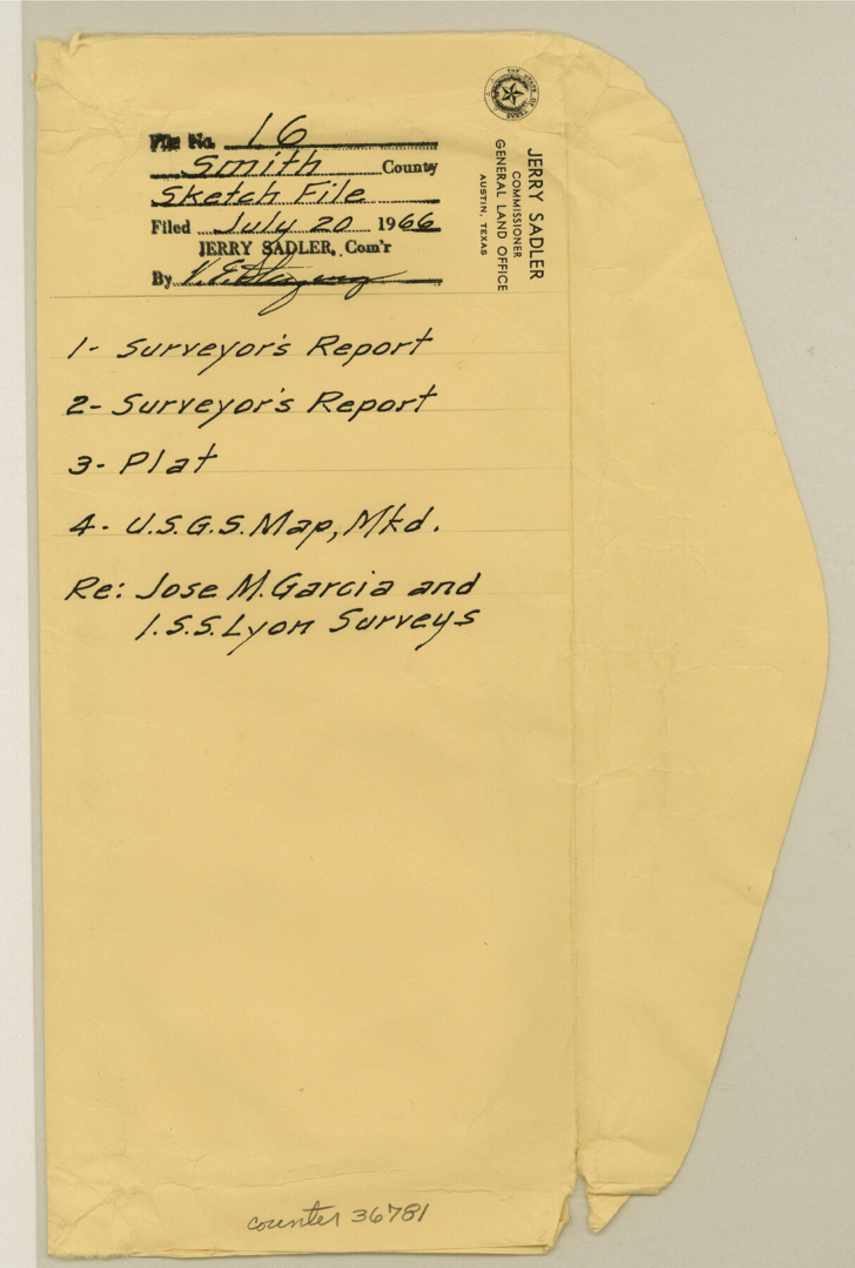
Smith County Sketch File 16
[Surveyor's reports and plats regarding the Jose M. Garcia and I.S.S. Lyon surveys in the north part of the county on the south bank of the Sabine River]
-
Map/Doc
36781
-
Collection
General Map Collection
-
Object Dates
1966 (Creation Date)
7/20/1966 (File Date)
-
People and Organizations
John Cowan (Surveyor/Engineer)
-
Counties
Smith
-
Subjects
Surveying Sketch File
-
Height x Width
10.8 x 7.3 inches
27.4 x 18.5 cm
-
Medium
paper, print
-
Features
Red Spring Branch [of Sabine River]
Smith River
Wood River
Lorraine Lake
Damascus Church
Todd Mountain
East Mill Creek
Marshall Cemetery
Jones Branch
MP
Lindale
Lindale Club Lake
North Prairie Creek
Red Springs
Saline Creek
Sabine River
Bradford Lake
Old Sabine River Channel
Fada
Jim Ned Creek
T&P
Angler
Bluebill Cove
Brumley Lake
Overton Lake
Little Sandy Creek
Mill Creek
Little Creek
Prairie Creek
Little Saline Creek
Part of: General Map Collection
Rockwall County Sketch File 2

Print $6.00
Rockwall County Sketch File 2
Size 17.3 x 11.2 inches
Map/Doc 35415
Jefferson County Sketch File 26a

Print $20.00
- Digital $50.00
Jefferson County Sketch File 26a
Size 19.5 x 11.6 inches
Map/Doc 11872
Flight Mission No. DQN-7K, Frame 90, Calhoun County

Print $20.00
- Digital $50.00
Flight Mission No. DQN-7K, Frame 90, Calhoun County
1953
Size 18.6 x 22.2 inches
Map/Doc 84481
Val Verde County Working Sketch 95

Print $20.00
- Digital $50.00
Val Verde County Working Sketch 95
1980
Size 26.5 x 31.8 inches
Map/Doc 72230
Bandera County Working Sketch 60

Print $20.00
- Digital $50.00
Bandera County Working Sketch 60
2004
Size 32.1 x 43.6 inches
Map/Doc 83562
Bosque County Working Sketch 3

Print $20.00
- Digital $50.00
Bosque County Working Sketch 3
1901
Size 16.5 x 20.4 inches
Map/Doc 78192
Jones County Sketch File 6

Print $2.00
- Digital $50.00
Jones County Sketch File 6
1873
Size 8.3 x 11.8 inches
Map/Doc 28494
Blanco County Working Sketch 24

Print $20.00
- Digital $50.00
Blanco County Working Sketch 24
1963
Size 30.2 x 31.2 inches
Map/Doc 67384
Old Miscellaneous File 18

Print $4.00
- Digital $50.00
Old Miscellaneous File 18
1913
Size 11.3 x 8.6 inches
Map/Doc 75497
Camp County Working Sketch 1

Print $20.00
- Digital $50.00
Camp County Working Sketch 1
1970
Size 32.9 x 29.7 inches
Map/Doc 67877
Leon County Rolled Sketch 11

Print $20.00
- Digital $50.00
Leon County Rolled Sketch 11
1965
Size 16.8 x 19.7 inches
Map/Doc 6599
Travis County Appraisal District Plat Map 2_0502

Print $20.00
- Digital $50.00
Travis County Appraisal District Plat Map 2_0502
Size 21.4 x 26.4 inches
Map/Doc 94236
You may also like
Flight Mission No. CGI-3N, Frame 76, Cameron County

Print $20.00
- Digital $50.00
Flight Mission No. CGI-3N, Frame 76, Cameron County
1954
Size 18.5 x 22.1 inches
Map/Doc 84570
Culberson County

Print $40.00
- Digital $50.00
Culberson County
1924
Size 32.4 x 48.5 inches
Map/Doc 92559
Orange County Sketch File 12

Print $4.00
- Digital $50.00
Orange County Sketch File 12
1876
Size 12.7 x 7.9 inches
Map/Doc 33324
Map of Harris County

Print $20.00
- Digital $50.00
Map of Harris County
1893
Size 29.7 x 33.8 inches
Map/Doc 3632
Mitchell County Rolled Sketch 4

Print $20.00
- Digital $50.00
Mitchell County Rolled Sketch 4
Size 32.6 x 41.4 inches
Map/Doc 6785
Section 148 Block G Abstract 1639 Cert. 57 Gaines County

Print $20.00
- Digital $50.00
Section 148 Block G Abstract 1639 Cert. 57 Gaines County
Size 13.0 x 13.7 inches
Map/Doc 93228
McCulloch County Sketch File 10

Print $8.00
- Digital $50.00
McCulloch County Sketch File 10
1920
Size 11.1 x 8.7 inches
Map/Doc 31187
Kaufman County Sketch File 19

Print $30.00
- Digital $50.00
Kaufman County Sketch File 19
1922
Size 11.2 x 8.7 inches
Map/Doc 28666
Carte Reduite du Globe Terrestre

Print $20.00
- Digital $50.00
Carte Reduite du Globe Terrestre
1782
Size 13.5 x 17.1 inches
Map/Doc 97117
[Area Surrounding Lee County School Land]
![90887, [Area Surrounding Lee County School Land], Twichell Survey Records](https://historictexasmaps.com/wmedia_w700/maps/90887-1.tif.jpg)
Print $20.00
- Digital $50.00
[Area Surrounding Lee County School Land]
1907
Size 13.9 x 19.2 inches
Map/Doc 90887
Kinney County Sketch File 38

Print $8.00
- Digital $50.00
Kinney County Sketch File 38
1882
Size 14.3 x 8.7 inches
Map/Doc 29188
