Armstrong County Working Sketch 2


Print $20.00
- Digital $50.00
Armstrong County Working Sketch 2
1904
Size: 29.0 x 23.4 inches
67233
Block M6 in Castro, Swisher, and Randall Co's, Tex.


Print $20.00
- Digital $50.00
Block M6 in Castro, Swisher, and Randall Co's, Tex.
Size: 13.8 x 17.2 inches
90397
Briscoe County Rolled Sketch WL


Print $20.00
- Digital $50.00
Briscoe County Rolled Sketch WL
1936
Size: 18.6 x 43.0 inches
5335
Briscoe County Sketch File 15


Print $26.00
- Digital $50.00
Briscoe County Sketch File 15
Size: 11.2 x 8.9 inches
16522
Briscoe County Sketch File 4


Print $40.00
- Digital $50.00
Briscoe County Sketch File 4
Size: 26.0 x 33.5 inches
10993
Briscoe County Sketch File 5


Print $40.00
- Digital $50.00
Briscoe County Sketch File 5
Size: 29.8 x 26.5 inches
10994
Briscoe County Sketch File 8


Print $6.00
- Digital $50.00
Briscoe County Sketch File 8
1896
Size: 10.5 x 8.3 inches
16417
Briscoe County Sketch File 9
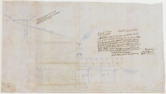

Print $40.00
- Digital $50.00
Briscoe County Sketch File 9
1896
Size: 31.9 x 27.2 inches
10996
Briscoe County Sketch File A


Print $40.00
- Digital $50.00
Briscoe County Sketch File A
1894
Size: 17.3 x 21.1 inches
10997
Briscoe County Sketch File A-1
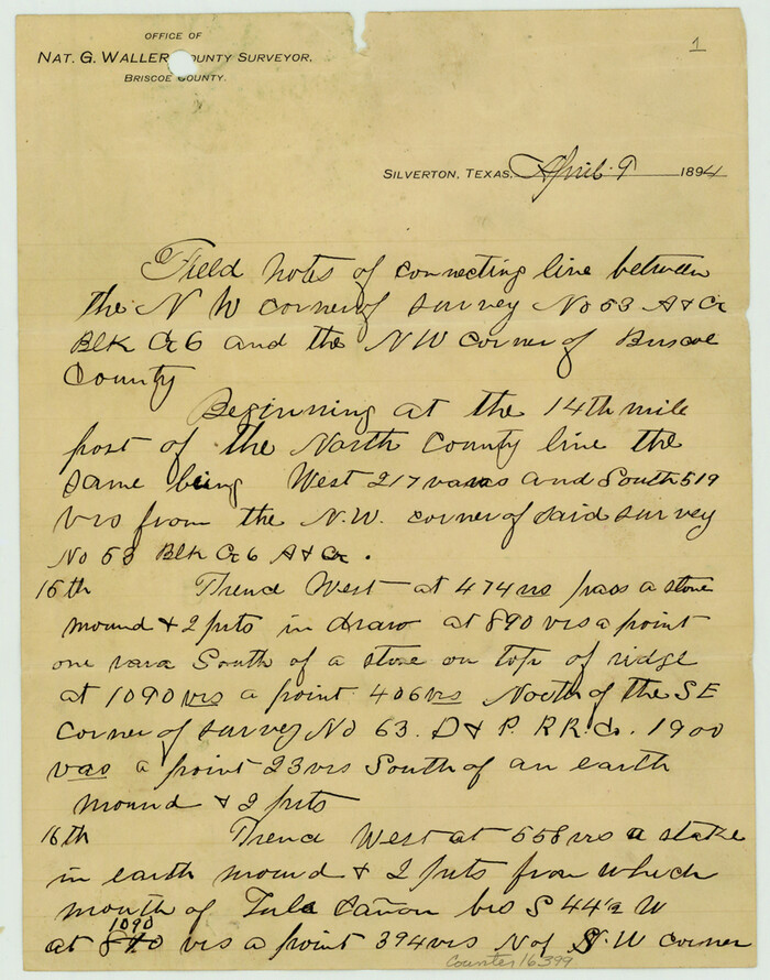

Print $16.00
- Digital $50.00
Briscoe County Sketch File A-1
1894
Size: 10.7 x 8.4 inches
16399
Briscoe County Sketch File D-1
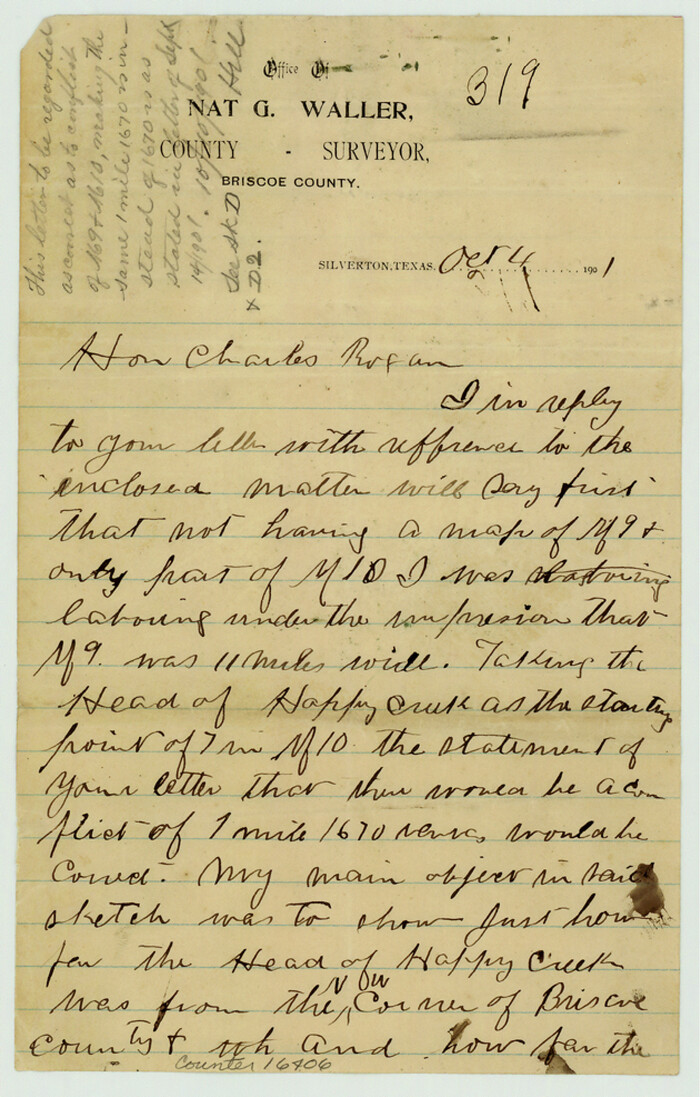

Print $50.00
- Digital $50.00
Briscoe County Sketch File D-1
1901
Size: 9.9 x 6.3 inches
16406
Briscoe County Sketch File D-2
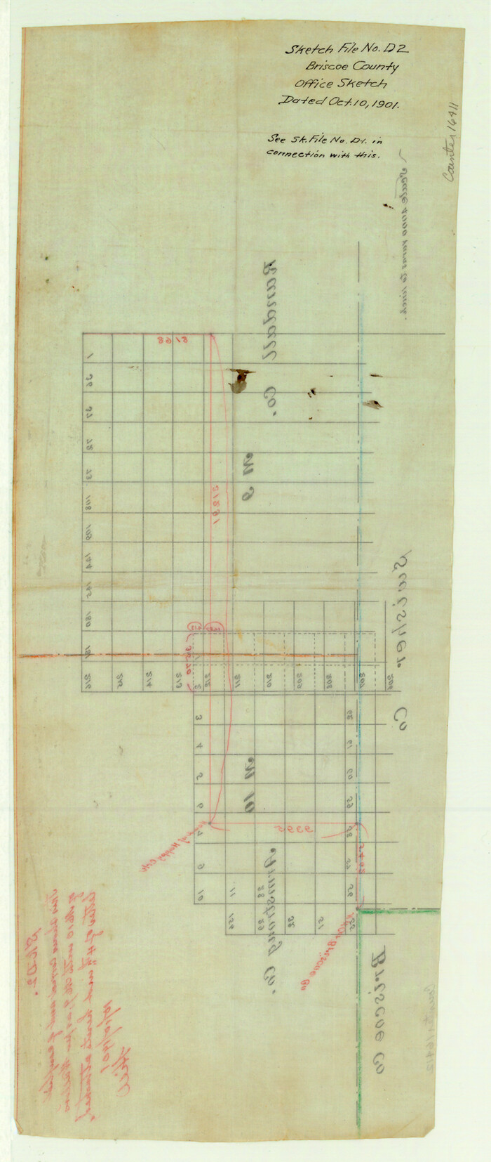

Print $40.00
- Digital $50.00
Briscoe County Sketch File D-2
1901
Size: 18.5 x 7.8 inches
16411
Capitol Land Reservation


Print $20.00
- Digital $50.00
Capitol Land Reservation
1880
Size: 43.7 x 34.2 inches
10745
Castro County Rolled Sketch 7


Print $20.00
- Digital $50.00
Castro County Rolled Sketch 7
1908
Size: 28.9 x 24.1 inches
5417
Castro County Rolled Sketch 8


Print $20.00
- Digital $50.00
Castro County Rolled Sketch 8
Size: 34.1 x 28.8 inches
5418
Castro County Sketch File 12
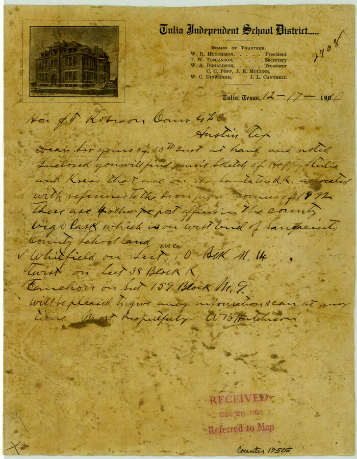

Print $10.00
- Digital $50.00
Castro County Sketch File 12
1910
Size: 11.1 x 8.6 inches
17505
Castro County Sketch File 4
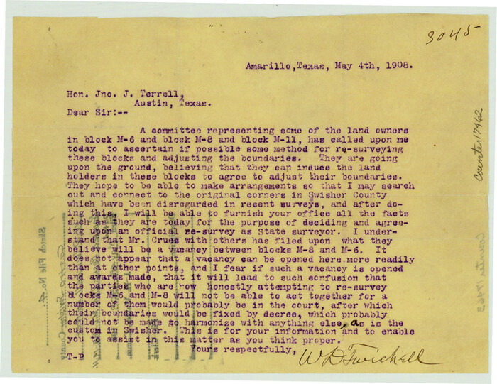

Print $6.00
- Digital $50.00
Castro County Sketch File 4
1908
Size: 6.9 x 8.9 inches
17462
Castro County Working Sketch 2


Print $20.00
- Digital $50.00
Castro County Working Sketch 2
Size: 30.4 x 26.2 inches
67897
Castro County Working Sketch 3
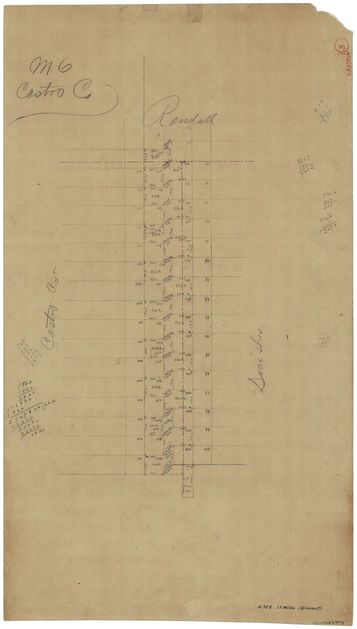

Print $20.00
- Digital $50.00
Castro County Working Sketch 3
Size: 31.7 x 17.9 inches
67898
Castro County Working Sketch 4


Print $20.00
- Digital $50.00
Castro County Working Sketch 4
1920
Size: 17.0 x 16.2 inches
67899
Castro County Working Sketch 7


Print $40.00
- Digital $50.00
Castro County Working Sketch 7
1975
Size: 42.8 x 53.1 inches
67902
Dr. T. F. Nanny's Lands, Swisher and Castro Counties, Texas


Print $20.00
- Digital $50.00
Dr. T. F. Nanny's Lands, Swisher and Castro Counties, Texas
Size: 16.7 x 21.5 inches
92614
Floyd County Sketch File A1
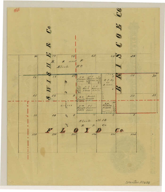

Print $4.00
- Digital $50.00
Floyd County Sketch File A1
Size: 9.2 x 7.9 inches
22686
General Highway Map, Swisher County, Texas
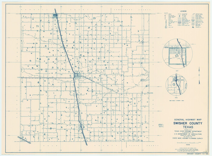

Print $20.00
General Highway Map, Swisher County, Texas
1940
Size: 18.4 x 25.0 inches
79250
General Highway Map, Swisher County, Texas


Print $20.00
General Highway Map, Swisher County, Texas
1961
Size: 18.3 x 25.0 inches
79663
Hale County Rolled Sketch 10


Print $40.00
- Digital $50.00
Hale County Rolled Sketch 10
Size: 52.4 x 28.3 inches
76447
Hale County Sketch File 12
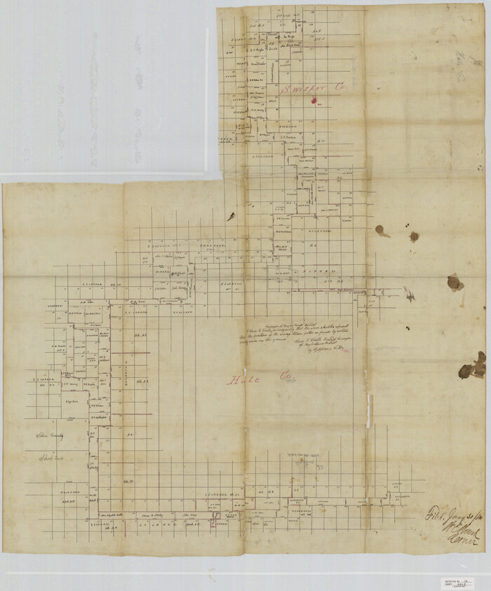

Print $20.00
- Digital $50.00
Hale County Sketch File 12
Size: 46.0 x 38.2 inches
10469
Hale County Sketch File 14


Print $8.00
- Digital $50.00
Hale County Sketch File 14
Size: 14.1 x 8.7 inches
24743
Hale County Sketch File 18


Print $4.00
- Digital $50.00
Hale County Sketch File 18
1903
Size: 11.0 x 8.6 inches
24749
Hale County Sketch File 19
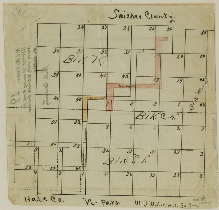

Print $4.00
- Digital $50.00
Hale County Sketch File 19
Size: 8.4 x 8.8 inches
24751
Armstrong County Working Sketch 2


Print $20.00
- Digital $50.00
Armstrong County Working Sketch 2
1904
-
Size
29.0 x 23.4 inches
-
Map/Doc
67233
-
Creation Date
1904
Block M6 in Castro, Swisher, and Randall Co's, Tex.


Print $20.00
- Digital $50.00
Block M6 in Castro, Swisher, and Randall Co's, Tex.
-
Size
13.8 x 17.2 inches
-
Map/Doc
90397
Briscoe County Rolled Sketch WL


Print $20.00
- Digital $50.00
Briscoe County Rolled Sketch WL
1936
-
Size
18.6 x 43.0 inches
-
Map/Doc
5335
-
Creation Date
1936
Briscoe County Sketch File 15


Print $26.00
- Digital $50.00
Briscoe County Sketch File 15
-
Size
11.2 x 8.9 inches
-
Map/Doc
16522
Briscoe County Sketch File 4


Print $40.00
- Digital $50.00
Briscoe County Sketch File 4
-
Size
26.0 x 33.5 inches
-
Map/Doc
10993
Briscoe County Sketch File 5


Print $40.00
- Digital $50.00
Briscoe County Sketch File 5
-
Size
29.8 x 26.5 inches
-
Map/Doc
10994
Briscoe County Sketch File 8


Print $6.00
- Digital $50.00
Briscoe County Sketch File 8
1896
-
Size
10.5 x 8.3 inches
-
Map/Doc
16417
-
Creation Date
1896
Briscoe County Sketch File 9


Print $40.00
- Digital $50.00
Briscoe County Sketch File 9
1896
-
Size
31.9 x 27.2 inches
-
Map/Doc
10996
-
Creation Date
1896
Briscoe County Sketch File A


Print $40.00
- Digital $50.00
Briscoe County Sketch File A
1894
-
Size
17.3 x 21.1 inches
-
Map/Doc
10997
-
Creation Date
1894
Briscoe County Sketch File A-1


Print $16.00
- Digital $50.00
Briscoe County Sketch File A-1
1894
-
Size
10.7 x 8.4 inches
-
Map/Doc
16399
-
Creation Date
1894
Briscoe County Sketch File D-1


Print $50.00
- Digital $50.00
Briscoe County Sketch File D-1
1901
-
Size
9.9 x 6.3 inches
-
Map/Doc
16406
-
Creation Date
1901
Briscoe County Sketch File D-2


Print $40.00
- Digital $50.00
Briscoe County Sketch File D-2
1901
-
Size
18.5 x 7.8 inches
-
Map/Doc
16411
-
Creation Date
1901
Capitol Land Reservation


Print $20.00
- Digital $50.00
Capitol Land Reservation
1880
-
Size
43.7 x 34.2 inches
-
Map/Doc
10745
-
Creation Date
1880
Castro County Rolled Sketch 7


Print $20.00
- Digital $50.00
Castro County Rolled Sketch 7
1908
-
Size
28.9 x 24.1 inches
-
Map/Doc
5417
-
Creation Date
1908
Castro County Rolled Sketch 8


Print $20.00
- Digital $50.00
Castro County Rolled Sketch 8
-
Size
34.1 x 28.8 inches
-
Map/Doc
5418
Castro County Sketch File 12


Print $10.00
- Digital $50.00
Castro County Sketch File 12
1910
-
Size
11.1 x 8.6 inches
-
Map/Doc
17505
-
Creation Date
1910
Castro County Sketch File 4


Print $6.00
- Digital $50.00
Castro County Sketch File 4
1908
-
Size
6.9 x 8.9 inches
-
Map/Doc
17462
-
Creation Date
1908
Castro County Working Sketch 2


Print $20.00
- Digital $50.00
Castro County Working Sketch 2
-
Size
30.4 x 26.2 inches
-
Map/Doc
67897
Castro County Working Sketch 3


Print $20.00
- Digital $50.00
Castro County Working Sketch 3
-
Size
31.7 x 17.9 inches
-
Map/Doc
67898
Castro County Working Sketch 4


Print $20.00
- Digital $50.00
Castro County Working Sketch 4
1920
-
Size
17.0 x 16.2 inches
-
Map/Doc
67899
-
Creation Date
1920
Castro County Working Sketch 7


Print $40.00
- Digital $50.00
Castro County Working Sketch 7
1975
-
Size
42.8 x 53.1 inches
-
Map/Doc
67902
-
Creation Date
1975
Dr. T. F. Nanny's Lands, Swisher and Castro Counties, Texas


Print $20.00
- Digital $50.00
Dr. T. F. Nanny's Lands, Swisher and Castro Counties, Texas
-
Size
16.7 x 21.5 inches
-
Map/Doc
92614
Floyd County Sketch File A1


Print $4.00
- Digital $50.00
Floyd County Sketch File A1
-
Size
9.2 x 7.9 inches
-
Map/Doc
22686
General Highway Map, Swisher County, Texas


Print $20.00
General Highway Map, Swisher County, Texas
1940
-
Size
18.4 x 25.0 inches
-
Map/Doc
79250
-
Creation Date
1940
General Highway Map, Swisher County, Texas


Print $20.00
General Highway Map, Swisher County, Texas
1961
-
Size
18.3 x 25.0 inches
-
Map/Doc
79663
-
Creation Date
1961
Hale County Rolled Sketch 10


Print $40.00
- Digital $50.00
Hale County Rolled Sketch 10
-
Size
52.4 x 28.3 inches
-
Map/Doc
76447
Hale County Sketch File 12


Print $20.00
- Digital $50.00
Hale County Sketch File 12
-
Size
46.0 x 38.2 inches
-
Map/Doc
10469
Hale County Sketch File 14


Print $8.00
- Digital $50.00
Hale County Sketch File 14
-
Size
14.1 x 8.7 inches
-
Map/Doc
24743
Hale County Sketch File 18


Print $4.00
- Digital $50.00
Hale County Sketch File 18
1903
-
Size
11.0 x 8.6 inches
-
Map/Doc
24749
-
Creation Date
1903
Hale County Sketch File 19


Print $4.00
- Digital $50.00
Hale County Sketch File 19
-
Size
8.4 x 8.8 inches
-
Map/Doc
24751