106 results

Randall County Rolled Sketch 9A
10314.tif
Print $20.00 - Digital $50.00

Randall County Rolled Sketch 9A

1985
Size: 44.5 x 35.0 inches
10314
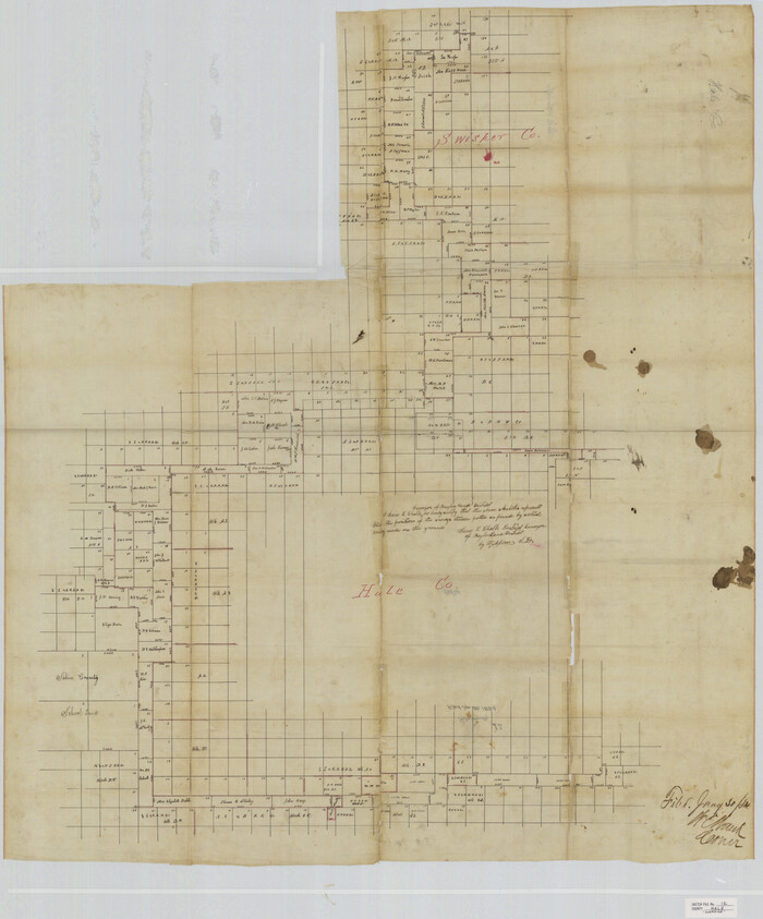
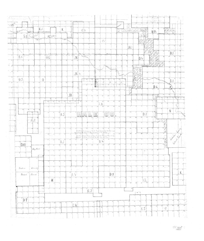
Hale County Sketch File 6
10468, Hale County Sketch File 6, General Map Collection
Print $20.00 - Digital $50.00

Hale County Sketch File 6

Size: 41.9 x 35.5 inches
10468
Hale County Sketch File 12
10469, Hale County Sketch File 12, General Map Collection
Print $20.00 - Digital $50.00

Hale County Sketch File 12

Size: 46.0 x 38.2 inches
10469
Hale County Sketch File 26
10471, Hale County Sketch File 26, General Map Collection
Print $40.00 - Digital $50.00

Hale County Sketch File 26

1911

Size: 20.7 x 54.4 inches
10471
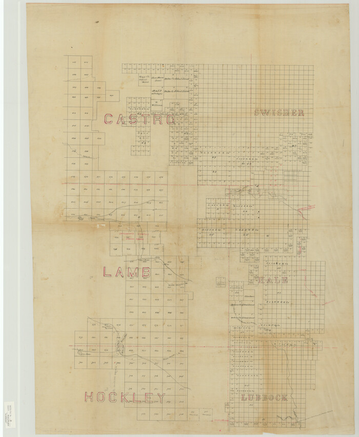
Hockley County Sketch File 3
10490, Hockley County Sketch File 3, General Map Collection
Print $20.00 - Digital $50.00

Hockley County Sketch File 3

Size: 43.1 x 35.4 inches
10490
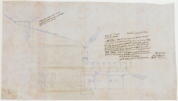
Randall County Sketch File 5
10583, Randall County Sketch File 5, General Map Collection
Print $20.00 - Digital $50.00

Randall County Sketch File 5

1931

Size: 23.9 x 41.7 inches
10583
Randall County Rolled Sketch 8
10620-1.tif
Print $20.00 - Digital $50.00

Randall County Rolled Sketch 8

1975

Size: 33.7 x 43.7 inches
10620
Capitol Land Reservation
10745.tif
Print $20.00 - Digital $50.00

Capitol Land Reservation

1880

Size: 43.7 x 34.2 inches
10745
Briscoe County Sketch File 4
10993, Briscoe County Sketch File 4, General Map Collection
Print $40.00 - Digital $50.00

Briscoe County Sketch File 4

Size: 26.0 x 33.5 inches
10993
Briscoe County Sketch File 5
10994, Briscoe County Sketch File 5, General Map Collection
Print $40.00 - Digital $50.00

Briscoe County Sketch File 5

Size: 29.8 x 26.5 inches
10994
Briscoe County Sketch File 9
10996, Briscoe County Sketch File 9, General Map Collection
Print $40.00 - Digital $50.00

Briscoe County Sketch File 9

1896

Size: 31.9 x 27.2 inches
10996
Briscoe County Sketch File A
10997, Briscoe County Sketch File A, General Map Collection
Print $40.00 - Digital $50.00

Briscoe County Sketch File A

1894

Size: 17.3 x 21.1 inches
10997
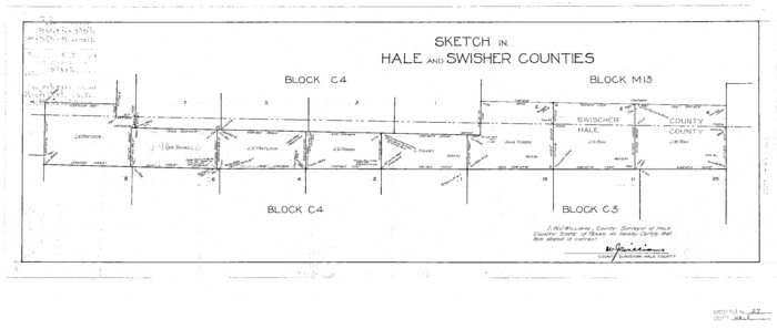
Hale County Sketch File 27
11598, Hale County Sketch File 27, General Map Collection
Print $20.00 - Digital $50.00

Hale County Sketch File 27

Size: 12.1 x 28.5 inches
11598
Hale County Sketch File E
11601, Hale County Sketch File E, General Map Collection
Print $20.00 - Digital $50.00

Hale County Sketch File E

1902

Size: 15.2 x 21.5 inches
11601
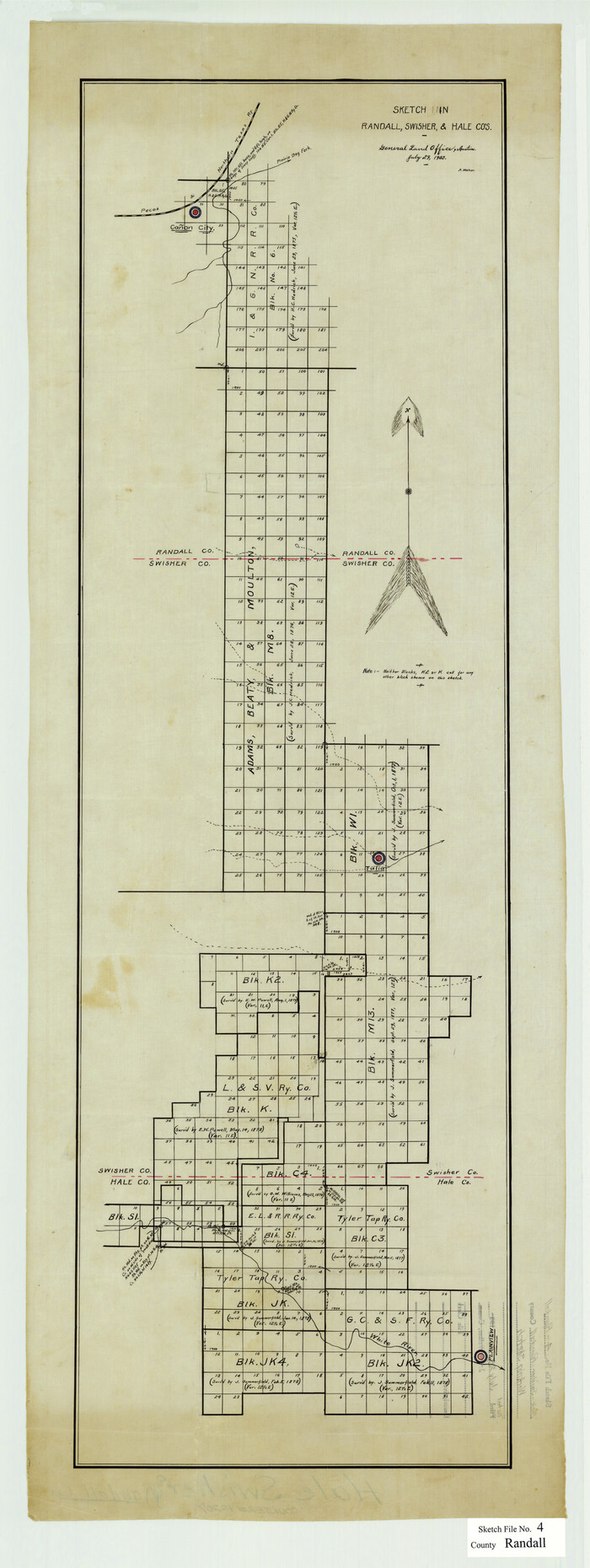
Randall County Sketch File 4
12207, Randall County Sketch File 4, General Map Collection
Print $20.00 - Digital $50.00

Randall County Sketch File 4

1903

Size: 35.6 x 13.4 inches
12207
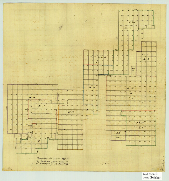
Swisher County Sketch File 3
12403, Swisher County Sketch File 3, General Map Collection
Print $20.00 - Digital $50.00

Swisher County Sketch File 3

1896

Size: 17.2 x 16.1 inches
12403
Swisher County Sketch File 6
12404, Swisher County Sketch File 6, General Map Collection
Print $20.00 - Digital $50.00

Swisher County Sketch File 6

Size: 15.4 x 12.1 inches
12404
Swisher County Sketch File 8
12405, Swisher County Sketch File 8, General Map Collection
Print $20.00 - Digital $50.00

Swisher County Sketch File 8

1907

Size: 19.2 x 16.3 inches
12405
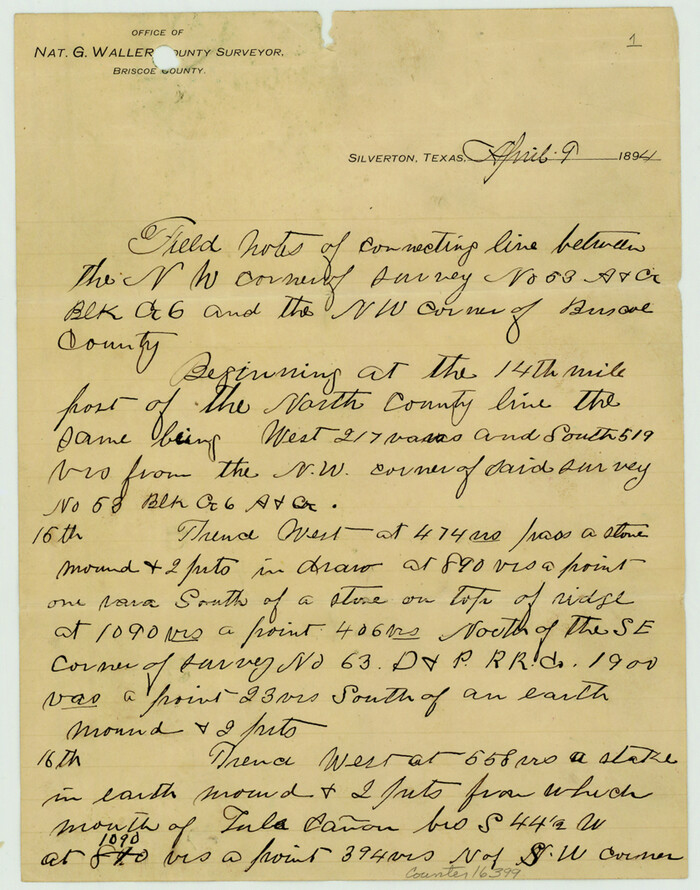
Briscoe County Sketch File A-1
16399, Briscoe County Sketch File A-1, General Map Collection
Print $16.00 - Digital $50.00

Briscoe County Sketch File A-1

1894

Size: 10.7 x 8.4 inches
16399
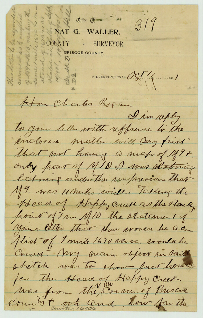
Briscoe County Sketch File D-1
16406, Briscoe County Sketch File D-1, General Map Collection
Print $50.00 - Digital $50.00

Briscoe County Sketch File D-1

1901

Size: 9.9 x 6.3 inches
16406
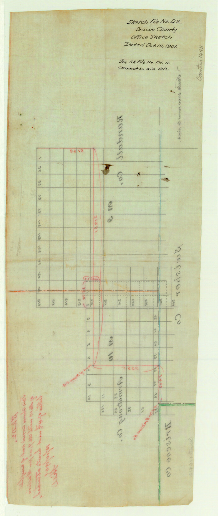
Briscoe County Sketch File D-2
16411, Briscoe County Sketch File D-2, General Map Collection
Print $40.00 - Digital $50.00

Briscoe County Sketch File D-2

1901

Size: 18.5 x 7.8 inches
16411
Briscoe County Sketch File 8
16417, Briscoe County Sketch File 8, General Map Collection
Print $6.00 - Digital $50.00

Briscoe County Sketch File 8

1896

Size: 10.5 x 8.3 inches
16417
Briscoe County Sketch File 15
16522, Briscoe County Sketch File 15, General Map Collection
Print $26.00 - Digital $50.00

Briscoe County Sketch File 15

Size: 11.2 x 8.9 inches
16522
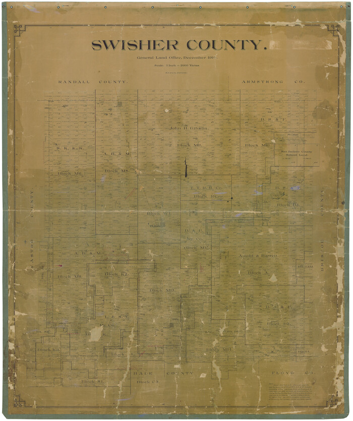
Swisher County
16888.tif
Print $20.00 - Digital $50.00

Swisher County

1910

Size: 47.5 x 39.8 inches
16888
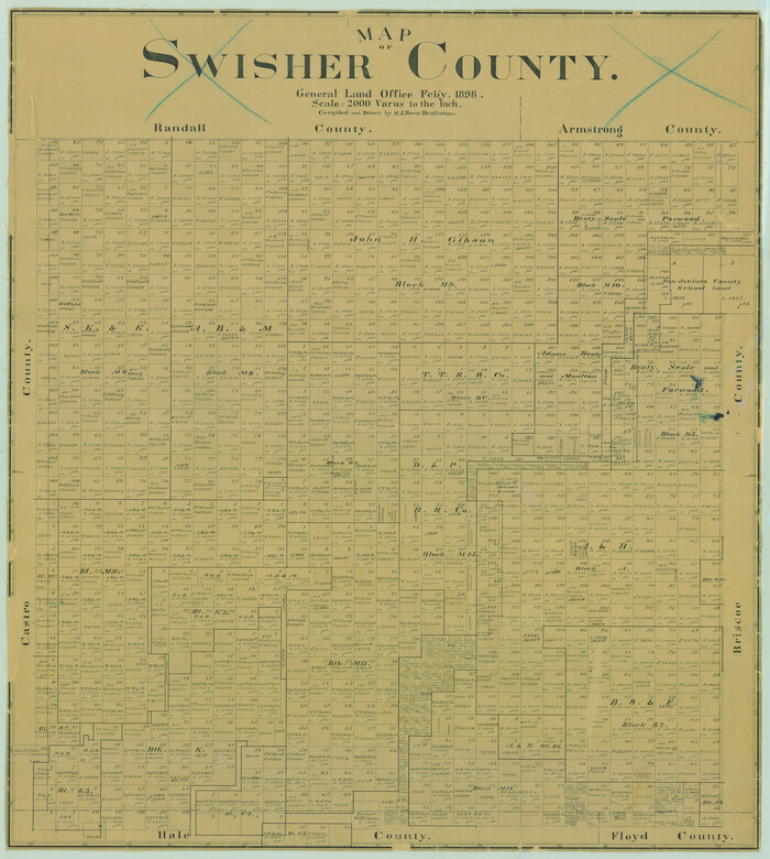
Map of Swisher County
16889.tif
Print $20.00 - Digital $50.00

Map of Swisher County

1898

Size: 36.4 x 32.7 inches
16889
Map of Swisher County
16890.tif
Print $40.00 - Digital $50.00

Map of Swisher County

1900

Size: 48.5 x 41.1 inches
16890
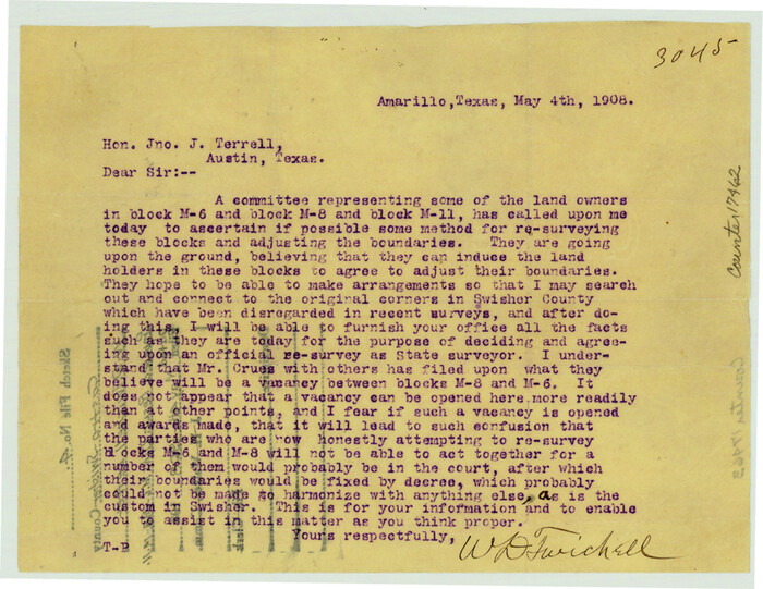
Castro County Sketch File 4
17462, Castro County Sketch File 4, General Map Collection
Print $6.00 - Digital $50.00

Castro County Sketch File 4

1908

Size: 6.9 x 8.9 inches
17462
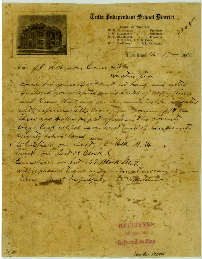
Castro County Sketch File 12
17505, Castro County Sketch File 12, General Map Collection
Print $10.00 - Digital $50.00

Castro County Sketch File 12

1910

Size: 11.1 x 8.6 inches
17505
[Jack District]
1993.tif
Print $40.00 - Digital $50.00

[Jack District]

1878

Size: 42.1 x 64.5 inches
1993
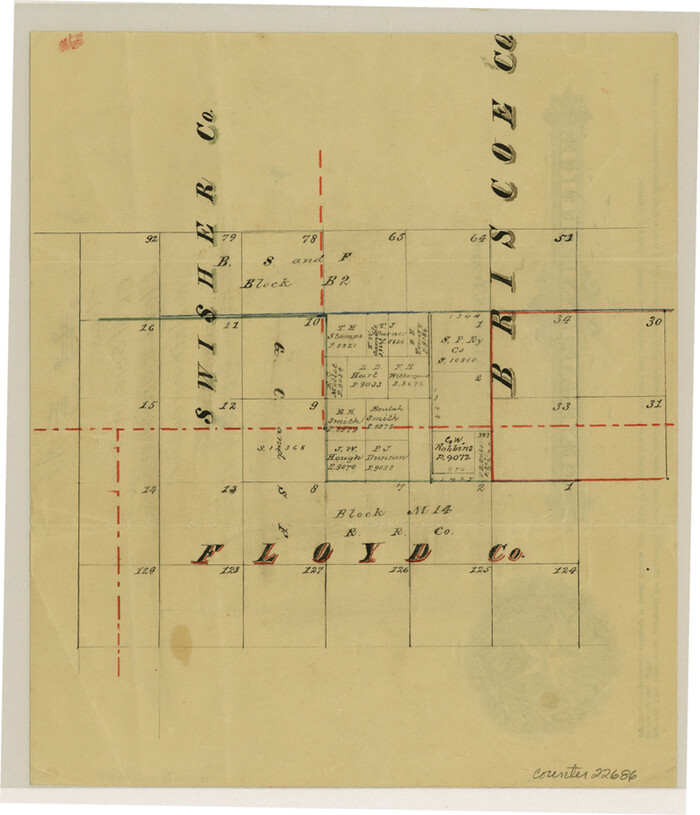
Floyd County Sketch File A1
22686, Floyd County Sketch File A1, General Map Collection
Print $4.00 - Digital $50.00

Floyd County Sketch File A1

Size: 9.2 x 7.9 inches
22686
Randall County Rolled Sketch 9A
10314, Randall County Rolled Sketch 9A, General Map Collection
Print $20.00 - Digital $50.00

Randall County Rolled Sketch 9A

1985

  • Size

    44.5 x 35.0 inches

  • Map/Doc

    10314

  • Creation Date

    1985

Hale County Sketch File 6
10468, Hale County Sketch File 6, General Map Collection
Print $20.00 - Digital $50.00

Hale County Sketch File 6

  • Size

    41.9 x 35.5 inches

  • Map/Doc

    10468

Hale County Sketch File 12
10469, Hale County Sketch File 12, General Map Collection
Print $20.00 - Digital $50.00

Hale County Sketch File 12

  • Size

    46.0 x 38.2 inches

  • Map/Doc

    10469

Hale County Sketch File 26
10471, Hale County Sketch File 26, General Map Collection
Print $40.00 - Digital $50.00

Hale County Sketch File 26

1911

  • Size

    20.7 x 54.4 inches

  • Map/Doc

    10471

  • Creation Date

    1911

Hockley County Sketch File 3
10490, Hockley County Sketch File 3, General Map Collection
Print $20.00 - Digital $50.00

Hockley County Sketch File 3

  • Size

    43.1 x 35.4 inches

  • Map/Doc

    10490

Randall County Sketch File 5
10583, Randall County Sketch File 5, General Map Collection
Print $20.00 - Digital $50.00

Randall County Sketch File 5

1931

  • Size

    23.9 x 41.7 inches

  • Map/Doc

    10583

  • Creation Date

    1931

Randall County Rolled Sketch 8
10620, Randall County Rolled Sketch 8, General Map Collection
Print $20.00 - Digital $50.00

Randall County Rolled Sketch 8

1975

  • Size

    33.7 x 43.7 inches

  • Map/Doc

    10620

  • Creation Date

    1975

Capitol Land Reservation
10745, Capitol Land Reservation, General Map Collection
Print $20.00 - Digital $50.00

Capitol Land Reservation

1880

  • Size

    43.7 x 34.2 inches

  • Map/Doc

    10745

  • Creation Date

    1880

Briscoe County Sketch File 4
10993, Briscoe County Sketch File 4, General Map Collection
Print $40.00 - Digital $50.00

Briscoe County Sketch File 4

  • Size

    26.0 x 33.5 inches

  • Map/Doc

    10993

Briscoe County Sketch File 5
10994, Briscoe County Sketch File 5, General Map Collection
Print $40.00 - Digital $50.00

Briscoe County Sketch File 5

  • Size

    29.8 x 26.5 inches

  • Map/Doc

    10994

Briscoe County Sketch File 9
10996, Briscoe County Sketch File 9, General Map Collection
Print $40.00 - Digital $50.00

Briscoe County Sketch File 9

1896

  • Size

    31.9 x 27.2 inches

  • Map/Doc

    10996

  • Creation Date

    1896

Briscoe County Sketch File A
10997, Briscoe County Sketch File A, General Map Collection
Print $40.00 - Digital $50.00

Briscoe County Sketch File A

1894

  • Size

    17.3 x 21.1 inches

  • Map/Doc

    10997

  • Creation Date

    1894

Hale County Sketch File 27
11598, Hale County Sketch File 27, General Map Collection
Print $20.00 - Digital $50.00

Hale County Sketch File 27

  • Size

    12.1 x 28.5 inches

  • Map/Doc

    11598

Hale County Sketch File E
11601, Hale County Sketch File E, General Map Collection
Print $20.00 - Digital $50.00

Hale County Sketch File E

1902

  • Size

    15.2 x 21.5 inches

  • Map/Doc

    11601

  • Creation Date

    1902

Randall County Sketch File 4
12207, Randall County Sketch File 4, General Map Collection
Print $20.00 - Digital $50.00

Randall County Sketch File 4

1903

  • Size

    35.6 x 13.4 inches

  • Map/Doc

    12207

  • Creation Date

    1903

Swisher County Sketch File 3
12403, Swisher County Sketch File 3, General Map Collection
Print $20.00 - Digital $50.00

Swisher County Sketch File 3

1896

  • Size

    17.2 x 16.1 inches

  • Map/Doc

    12403

  • Creation Date

    1896

Swisher County Sketch File 6
12404, Swisher County Sketch File 6, General Map Collection
Print $20.00 - Digital $50.00

Swisher County Sketch File 6

  • Size

    15.4 x 12.1 inches

  • Map/Doc

    12404

Swisher County Sketch File 8
12405, Swisher County Sketch File 8, General Map Collection
Print $20.00 - Digital $50.00

Swisher County Sketch File 8

1907

  • Size

    19.2 x 16.3 inches

  • Map/Doc

    12405

  • Creation Date

    1907

Briscoe County Sketch File A-1
16399, Briscoe County Sketch File A-1, General Map Collection
Print $16.00 - Digital $50.00

Briscoe County Sketch File A-1

1894

  • Size

    10.7 x 8.4 inches

  • Map/Doc

    16399

  • Creation Date

    1894

Briscoe County Sketch File D-1
16406, Briscoe County Sketch File D-1, General Map Collection
Print $50.00 - Digital $50.00

Briscoe County Sketch File D-1

1901

  • Size

    9.9 x 6.3 inches

  • Map/Doc

    16406

  • Creation Date

    1901

Briscoe County Sketch File D-2
16411, Briscoe County Sketch File D-2, General Map Collection
Print $40.00 - Digital $50.00

Briscoe County Sketch File D-2

1901

  • Size

    18.5 x 7.8 inches

  • Map/Doc

    16411

  • Creation Date

    1901

Briscoe County Sketch File 8
16417, Briscoe County Sketch File 8, General Map Collection
Print $6.00 - Digital $50.00

Briscoe County Sketch File 8

1896

  • Size

    10.5 x 8.3 inches

  • Map/Doc

    16417

  • Creation Date

    1896

Briscoe County Sketch File 15
16522, Briscoe County Sketch File 15, General Map Collection
Print $26.00 - Digital $50.00

Briscoe County Sketch File 15

  • Size

    11.2 x 8.9 inches

  • Map/Doc

    16522

Swisher County
16888, Swisher County, General Map Collection
Print $20.00 - Digital $50.00

Swisher County

1910

  • Size

    47.5 x 39.8 inches

  • Map/Doc

    16888

  • Creation Date

    1910

Map of Swisher County
16889, Map of Swisher County, General Map Collection
Print $20.00 - Digital $50.00

Map of Swisher County

1898

  • Size

    36.4 x 32.7 inches

  • Map/Doc

    16889

  • Creation Date

    1898

Map of Swisher County
16890, Map of Swisher County, General Map Collection
Print $40.00 - Digital $50.00

Map of Swisher County

1900

  • Size

    48.5 x 41.1 inches

  • Map/Doc

    16890

  • Creation Date

    1900

Castro County Sketch File 4
17462, Castro County Sketch File 4, General Map Collection
Print $6.00 - Digital $50.00

Castro County Sketch File 4

1908

  • Size

    6.9 x 8.9 inches

  • Map/Doc

    17462

  • Creation Date

    1908

Castro County Sketch File 12
17505, Castro County Sketch File 12, General Map Collection
Print $10.00 - Digital $50.00

Castro County Sketch File 12

1910

  • Size

    11.1 x 8.6 inches

  • Map/Doc

    17505

  • Creation Date

    1910

[Jack District]
1993, [Jack District], General Map Collection
Print $40.00 - Digital $50.00

[Jack District]

1878

  • Size

    42.1 x 64.5 inches

  • Map/Doc

    1993

  • Creation Date

    1878

Floyd County Sketch File A1
22686, Floyd County Sketch File A1, General Map Collection
Print $4.00 - Digital $50.00

Floyd County Sketch File A1

  • Size

    9.2 x 7.9 inches

  • Map/Doc

    22686