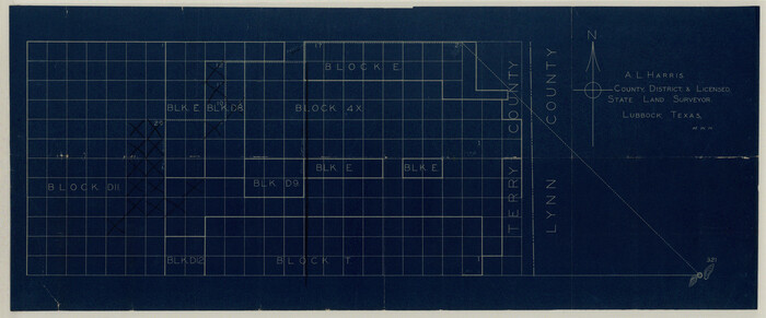
Terry County Sketch File 3
1948

Terry County Sketch File 5
1916
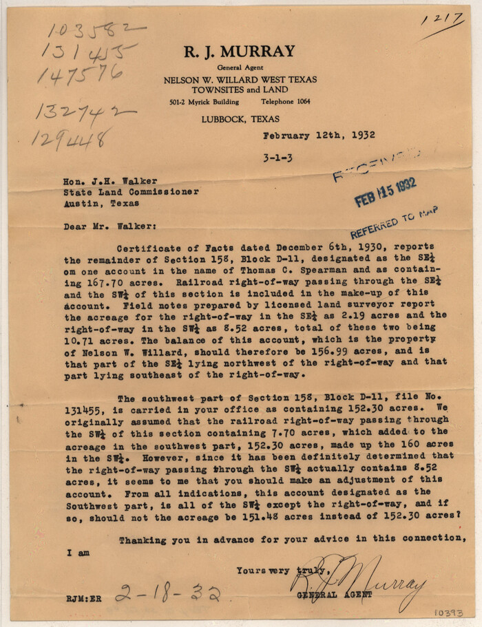
Terry County Sketch File 8
1932

Terry County Sketch File 10

Terry County Sketch File 11

Terry County Sketch File 12

Terry County Sketch File 13

Terry County Sketch File 14
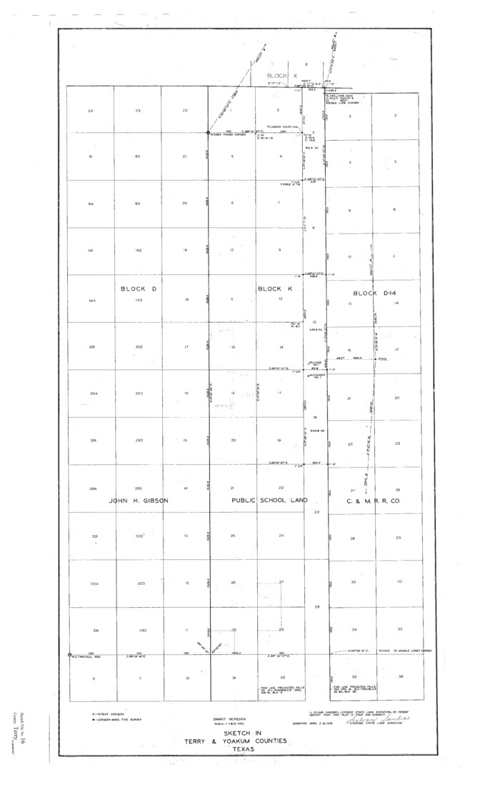
Terry County Sketch File 16
1945
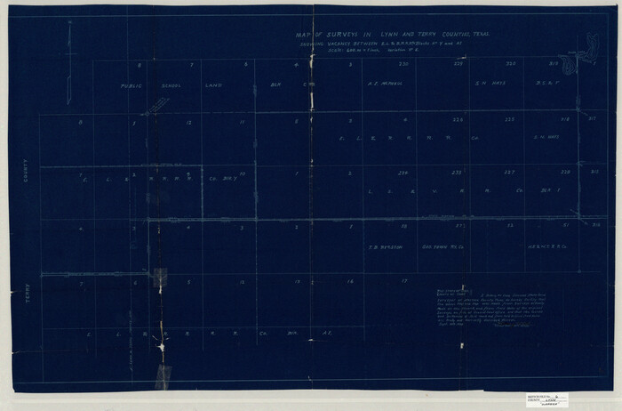
Lynn County Sketch File 6
1928

Hockley County Sketch File 2
1900
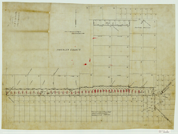
Hockley County Sketch File 6

Hockley County Sketch File 8

Hockley County Sketch File 19
1944
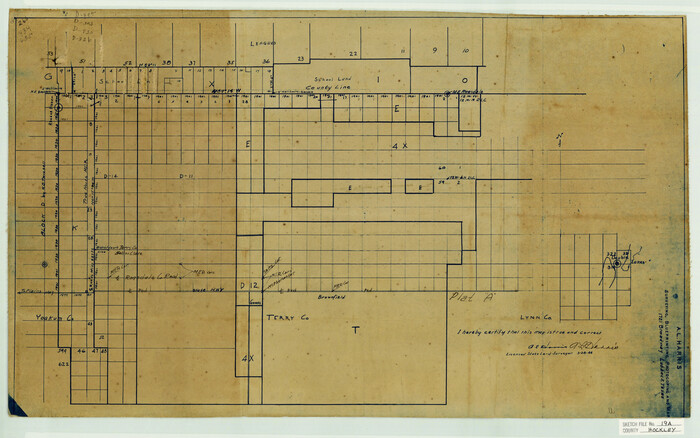
Hockley County Sketch File 19a
1944

Lubbock County Sketch File 6
1902
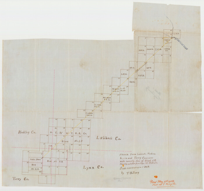
Terry County Sketch File 1
1903

Terry County Sketch File 17
1956
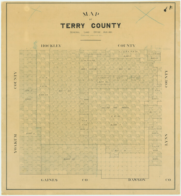
Map of Terry County
1901
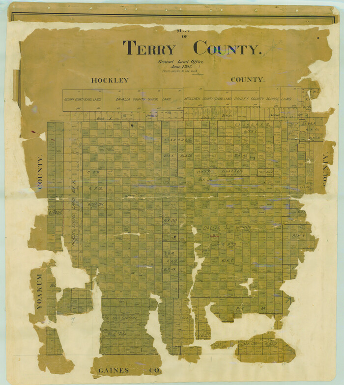
Map of Terry County
1902
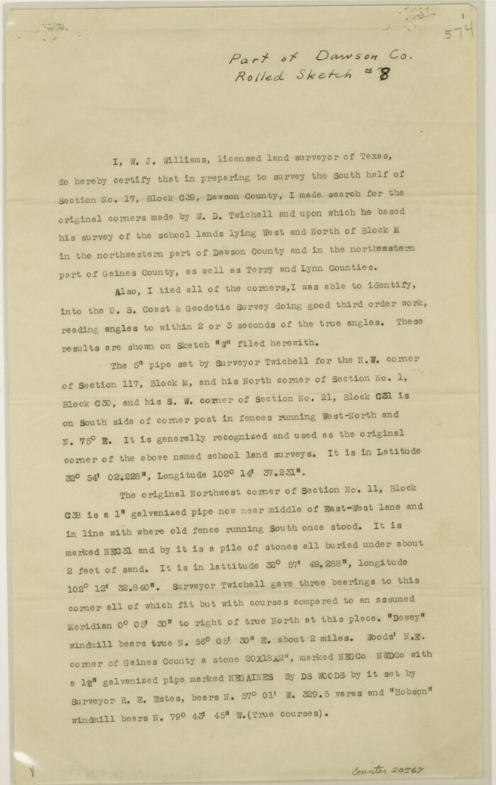
Dawson County Sketch File 18
1940
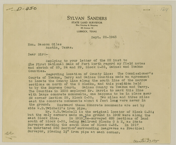
Gaines County Sketch File 11
1943
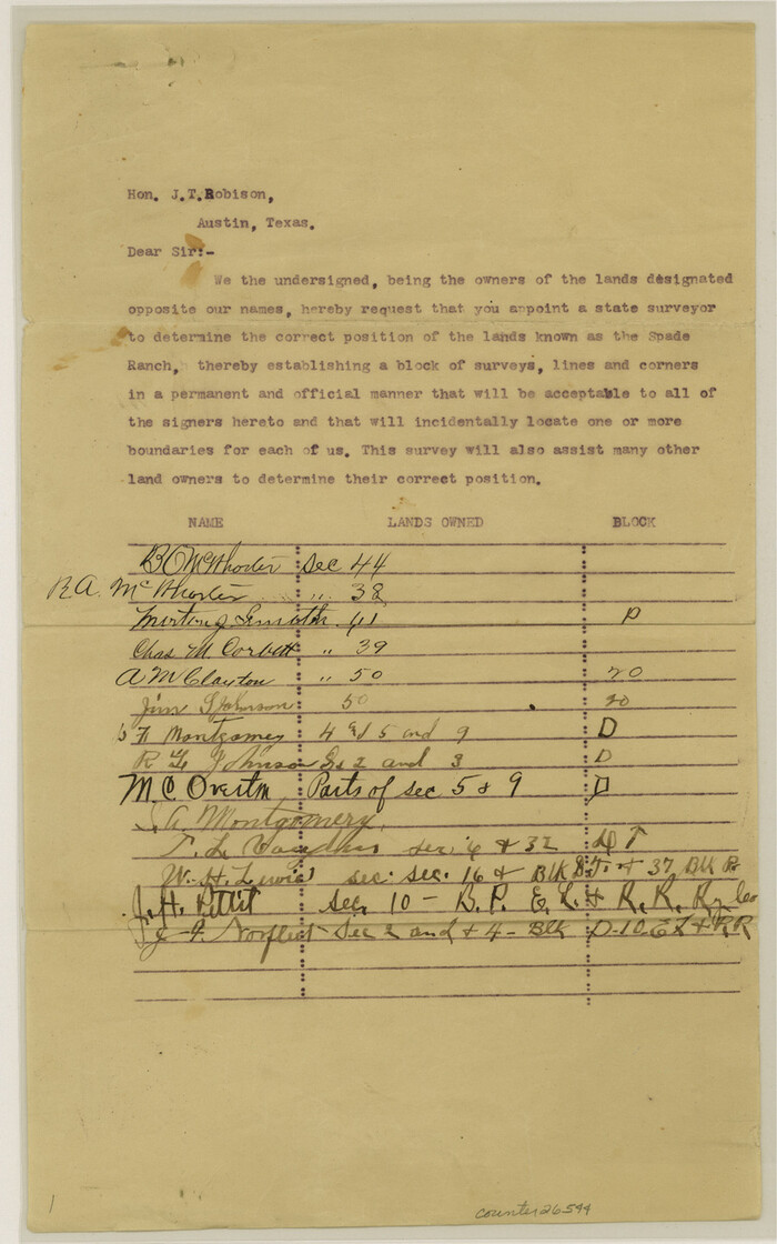
Hockley County Sketch File 11

Hockley County Sketch File 13
1914
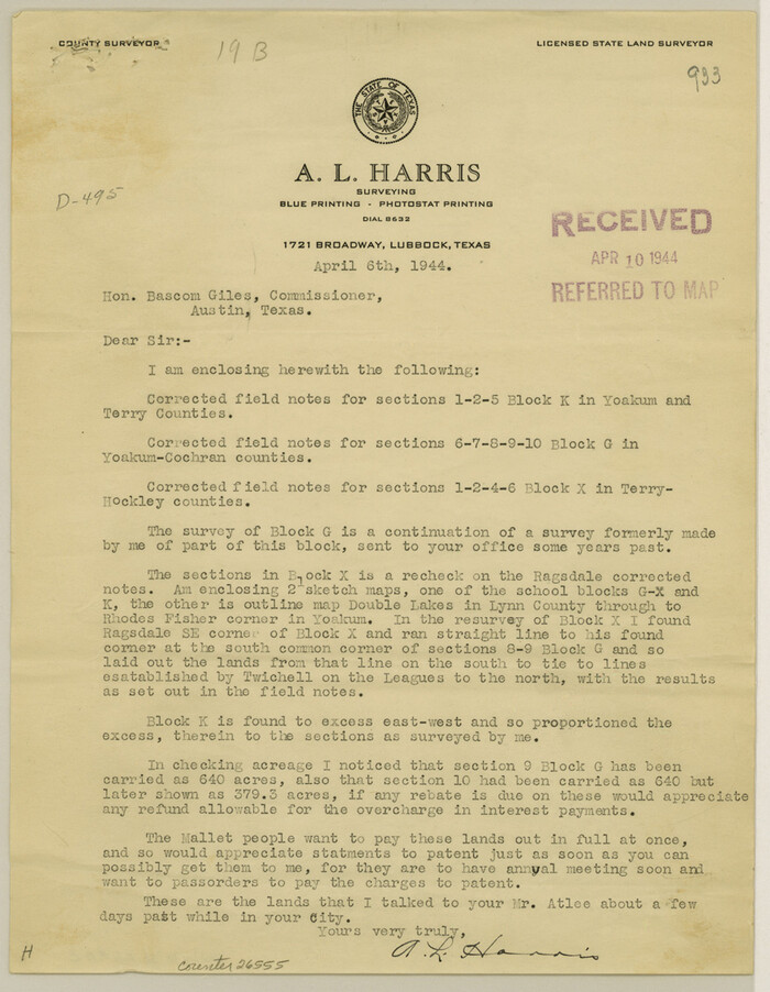
Hockley County Sketch File 19b
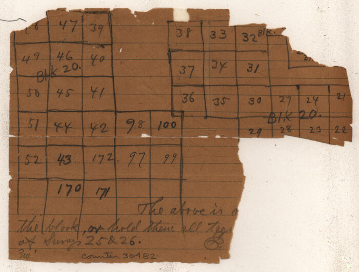
Lynn County Sketch File 13
1903

Terry County Sketch File 2
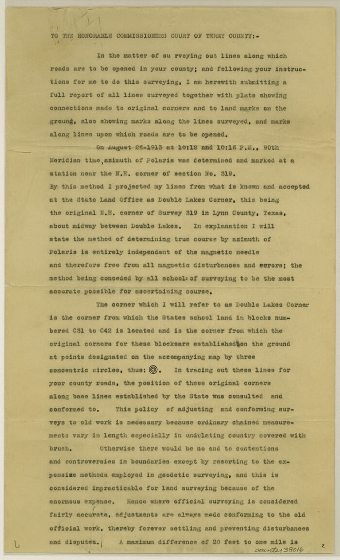
Terry County Sketch File 4
1913
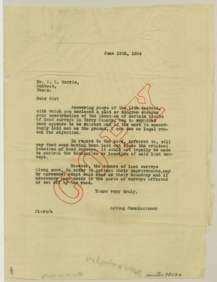
Terry County Sketch File 6
1924

Terry County Sketch File 3
1948
-
Size
16.2 x 39.0 inches
-
Map/Doc
10390
-
Creation Date
1948

Terry County Sketch File 5
1916
-
Size
15.6 x 58.6 inches
-
Map/Doc
10391
-
Creation Date
1916

Terry County Sketch File 8
1932
-
Size
23.2 x 42.5 inches
-
Map/Doc
10393
-
Creation Date
1932

Terry County Sketch File 10
-
Size
10.8 x 43.2 inches
-
Map/Doc
10394

Terry County Sketch File 11
-
Size
10.9 x 43.2 inches
-
Map/Doc
10395

Terry County Sketch File 12
-
Size
10.9 x 43.2 inches
-
Map/Doc
10396

Terry County Sketch File 13
-
Size
43.2 x 10.2 inches
-
Map/Doc
10397

Terry County Sketch File 14
-
Size
11.1 x 42.4 inches
-
Map/Doc
10398

Terry County Sketch File 16
1945
-
Size
39.9 x 25.4 inches
-
Map/Doc
10399
-
Creation Date
1945

Lynn County Sketch File 6
1928
-
Size
24.2 x 36.7 inches
-
Map/Doc
10529
-
Creation Date
1928

Hockley County Sketch File 2
1900
-
Size
13.2 x 18.1 inches
-
Map/Doc
11768
-
Creation Date
1900

Hockley County Sketch File 6
-
Size
24.9 x 33.0 inches
-
Map/Doc
11769

Hockley County Sketch File 8
-
Size
35.0 x 26.2 inches
-
Map/Doc
11771

Hockley County Sketch File 19
1944
-
Size
14.9 x 25.8 inches
-
Map/Doc
11775
-
Creation Date
1944

Hockley County Sketch File 19a
1944
-
Size
15.7 x 25.1 inches
-
Map/Doc
11776
-
Creation Date
1944

Lubbock County Sketch File 6
1902
-
Size
33.0 x 20.8 inches
-
Map/Doc
12017
-
Creation Date
1902

Terry County Sketch File 1
1903
-
Size
25.7 x 23.4 inches
-
Map/Doc
12428
-
Creation Date
1903

Terry County Sketch File 17
1956
-
Size
27.7 x 24.7 inches
-
Map/Doc
12429
-
Creation Date
1956

Map of Terry County
1901
-
Size
43.1 x 39.8 inches
-
Map/Doc
16892
-
Creation Date
1901

Map of Terry County
1902
-
Size
45.6 x 40.8 inches
-
Map/Doc
16893
-
Creation Date
1902
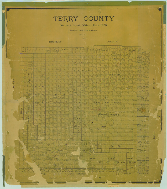
Terry County
1926
-
Size
45.0 x 39.8 inches
-
Map/Doc
16894
-
Creation Date
1926

Dawson County Sketch File 18
1940
-
Size
14.2 x 9.0 inches
-
Map/Doc
20567
-
Creation Date
1940

Gaines County Sketch File 11
1943
-
Size
7.3 x 8.9 inches
-
Map/Doc
23195
-
Creation Date
1943

Hockley County Sketch File 11
-
Size
14.3 x 9.0 inches
-
Map/Doc
26544

Hockley County Sketch File 13
1914
-
Size
8.9 x 10.9 inches
-
Map/Doc
26548
-
Creation Date
1914

Hockley County Sketch File 19b
-
Size
11.3 x 8.8 inches
-
Map/Doc
26555

Lynn County Sketch File 13
1903
-
Size
10.6 x 8.1 inches
-
Map/Doc
30482
-
Creation Date
1903

Terry County Sketch File 2
-
Size
8.9 x 11.4 inches
-
Map/Doc
38012

Terry County Sketch File 4
1913
-
Size
14.4 x 8.7 inches
-
Map/Doc
38016
-
Creation Date
1913

Terry County Sketch File 6
1924
-
Size
11.2 x 8.7 inches
-
Map/Doc
38026
-
Creation Date
1924