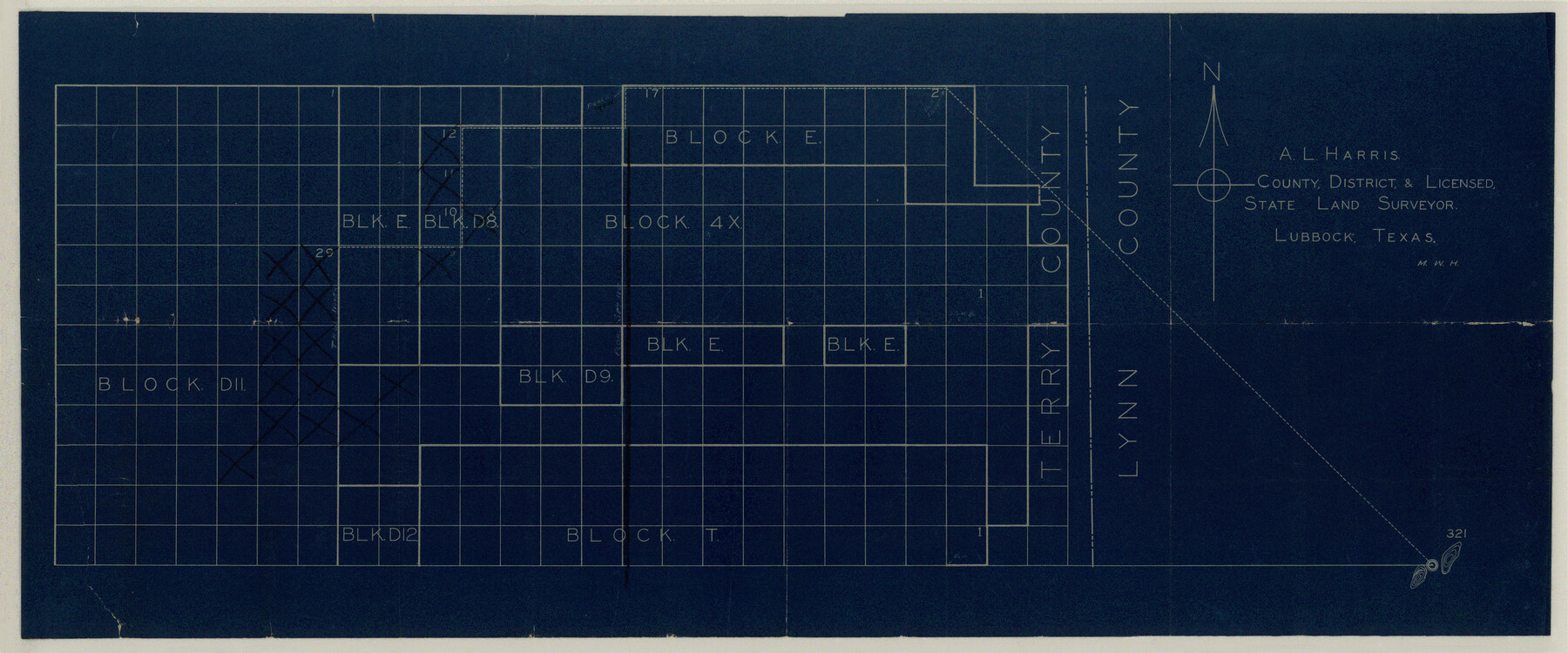
Terry County Sketch File 3
[Sketch of Blocks in the north half of the county showing a connecting line from the NE corner of section 2, Block E to Double Lakes in Lynn County]
-
Map/Doc
10390
-
Collection
General Map Collection
-
Object Dates
10/1948 (Creation Date)
5/16/1956 (File Date)
-
People and Organizations
A.L. Harris (Surveyor/Engineer)
-
Counties
Terry Lynn
-
Subjects
Surveying Sketch File
-
Height x Width
16.2 x 39.0 inches
41.2 x 99.1 cm
-
Medium
paper, photocopy
Part of: General Map Collection
Hardin County Sketch File 9a

Print $4.00
- Digital $50.00
Hardin County Sketch File 9a
1860
Size 9.9 x 8.4 inches
Map/Doc 25108
Flight Mission No. DAH-9M, Frame 199, Orange County

Print $20.00
- Digital $50.00
Flight Mission No. DAH-9M, Frame 199, Orange County
1953
Size 18.6 x 22.5 inches
Map/Doc 86867
Goliad County Sketch File A

Print $20.00
- Digital $50.00
Goliad County Sketch File A
1897
Size 30.6 x 32.9 inches
Map/Doc 10465
Flight Mission No. BRE-3P, Frame 92, Nueces County

Print $20.00
- Digital $50.00
Flight Mission No. BRE-3P, Frame 92, Nueces County
1956
Size 18.6 x 22.5 inches
Map/Doc 86823
Webb County Rolled Sketch EF1

Print $20.00
- Digital $50.00
Webb County Rolled Sketch EF1
1931
Size 40.3 x 30.0 inches
Map/Doc 8223
South Montgomery County, Woodlands Chamber of Commerce Street Map

South Montgomery County, Woodlands Chamber of Commerce Street Map
Size 50.0 x 37.8 inches
Map/Doc 94364
Sutton County Rolled Sketch 69

Print $20.00
- Digital $50.00
Sutton County Rolled Sketch 69
Size 39.7 x 36.6 inches
Map/Doc 9981
Flight Mission No. DIX-10P, Frame 166, Aransas County

Print $20.00
- Digital $50.00
Flight Mission No. DIX-10P, Frame 166, Aransas County
1956
Size 18.5 x 22.2 inches
Map/Doc 83956
Crosby County Sketch File 35

Print $4.00
- Digital $50.00
Crosby County Sketch File 35
Size 8.5 x 12.1 inches
Map/Doc 20106
Calhoun County Boundary File 14

Print $58.00
- Digital $50.00
Calhoun County Boundary File 14
Size 11.2 x 8.8 inches
Map/Doc 51014
Map of Hale County

Print $40.00
- Digital $50.00
Map of Hale County
1900
Size 49.3 x 41.0 inches
Map/Doc 4691

You may also like
Val Verde County Sketch File 40

Print $20.00
- Digital $50.00
Val Verde County Sketch File 40
1939
Size 15.3 x 25.5 inches
Map/Doc 12582
Crockett County Rolled Sketch 58

Print $20.00
- Digital $50.00
Crockett County Rolled Sketch 58
Size 19.0 x 32.8 inches
Map/Doc 5600
Clay County Sketch File 38a

Print $6.00
- Digital $50.00
Clay County Sketch File 38a
1939
Size 14.3 x 8.8 inches
Map/Doc 18469
Gregg County Sketch File 1G

Print $2.00
- Digital $50.00
Gregg County Sketch File 1G
Size 6.2 x 7.0 inches
Map/Doc 24549
Shelby County Working Sketch 36

Print $20.00
- Digital $50.00
Shelby County Working Sketch 36
2011
Size 35.0 x 36.0 inches
Map/Doc 90093
Flight Mission No. DQO-3K, Frame 15, Galveston County

Print $20.00
- Digital $50.00
Flight Mission No. DQO-3K, Frame 15, Galveston County
1952
Size 18.7 x 22.4 inches
Map/Doc 85056
General Highway Map, Johnson County, Texas

Print $20.00
General Highway Map, Johnson County, Texas
1940
Size 18.3 x 24.8 inches
Map/Doc 79149
Flight Mission No. CLL-1N, Frame 160, Willacy County

Print $20.00
- Digital $50.00
Flight Mission No. CLL-1N, Frame 160, Willacy County
1954
Size 18.3 x 22.0 inches
Map/Doc 87051
T&P Ry. from Texarkana to Atlanta

Print $40.00
- Digital $50.00
T&P Ry. from Texarkana to Atlanta
1910
Size 19.8 x 77.4 inches
Map/Doc 2327

Roseborough Lake Sheet, Bowie County, Red River

Print $20.00
- Digital $50.00
Roseborough Lake Sheet, Bowie County, Red River
1934
Size 39.5 x 23.0 inches
Map/Doc 75273
Jeff Davis County Rolled Sketch 38

Print $20.00
- Digital $50.00
Jeff Davis County Rolled Sketch 38
1994
Size 26.1 x 35.1 inches
Map/Doc 6381