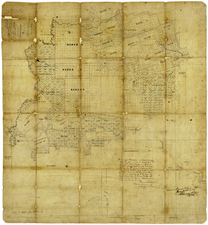
Baylor County Rolled Sketch 5

Print $20.00
- Digital $50.00
Baylor County Rolled Sketch 5
1874
Size: 43.2 x 39.7 inches
8444
Baylor County Rolled Sketch BT


Print $20.00
- Digital $50.00
Baylor County Rolled Sketch BT
1916
Size: 21.4 x 24.0 inches
5131
Baylor County Sketch File 1


Print $6.00
- Digital $50.00
Baylor County Sketch File 1
Size: 17.5 x 11.4 inches
14117
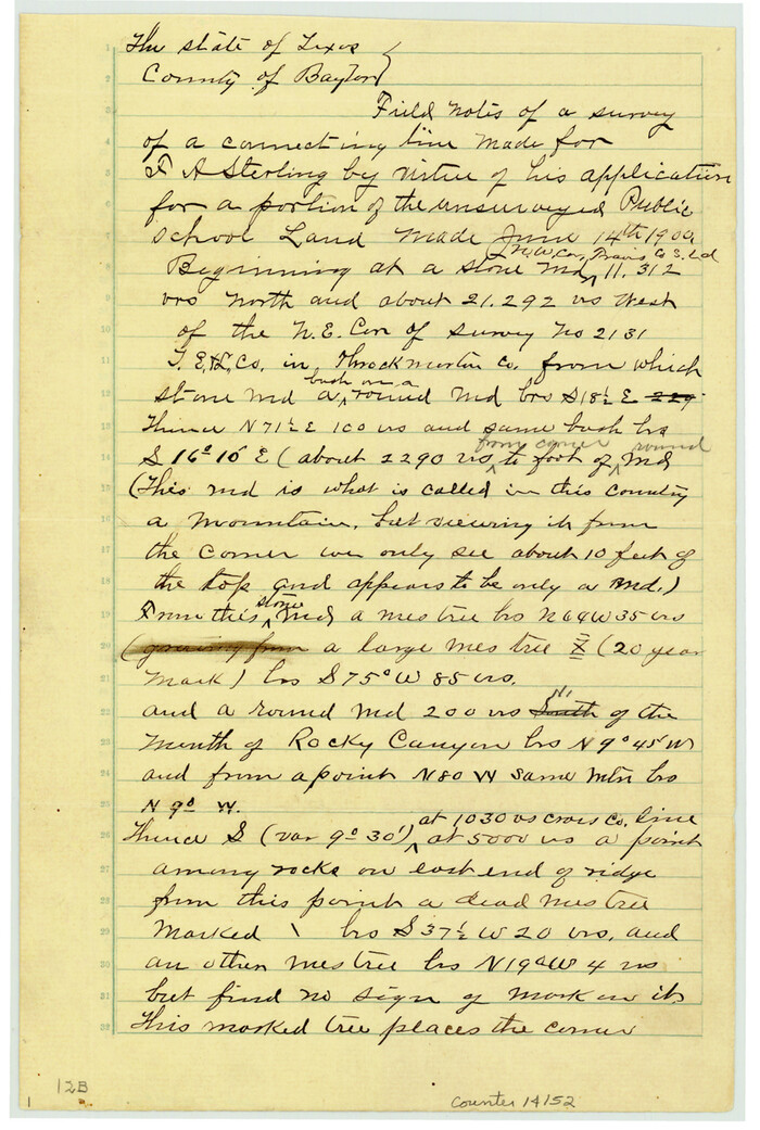
Baylor County Sketch File 12B

Print $6.00
- Digital $50.00
Baylor County Sketch File 12B
1900
Size: 13.4 x 9.0 inches
14152
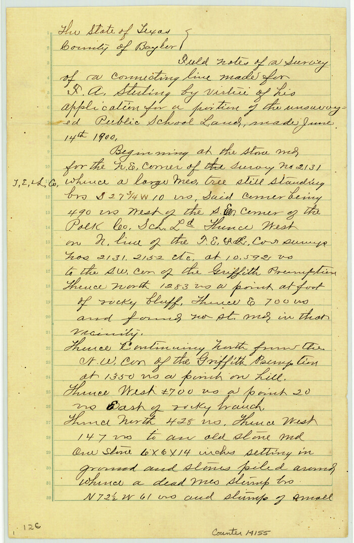
Baylor County Sketch File 12C

Print $8.00
- Digital $50.00
Baylor County Sketch File 12C
1900
Size: 13.5 x 8.8 inches
14155
Baylor County Sketch File 12D


Print $40.00
- Digital $50.00
Baylor County Sketch File 12D
1900
Size: 20.0 x 42.5 inches
10323
Baylor County Sketch File 12h

Print $49.00
- Digital $50.00
Baylor County Sketch File 12h
Size: 9.3 x 14.7 inches
14175
Baylor County Sketch File 2
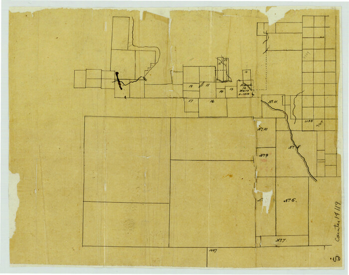

Print $10.00
- Digital $50.00
Baylor County Sketch File 2
Size: 7.8 x 9.9 inches
14119
Baylor County Sketch File 30
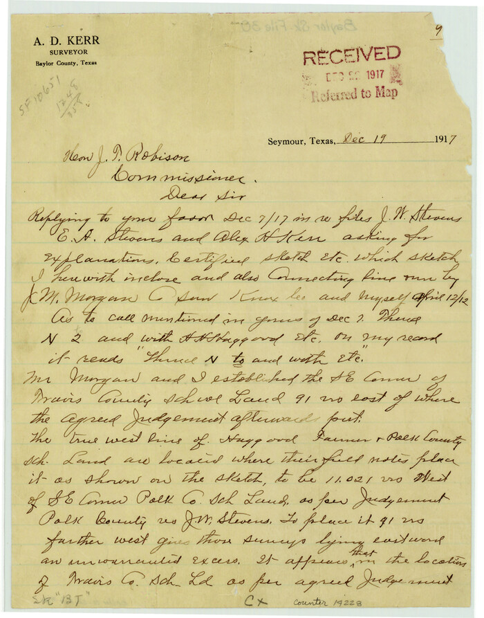

Print $14.00
- Digital $50.00
Baylor County Sketch File 30
Size: 11.4 x 9.0 inches
14228
Baylor County Working Sketch 2
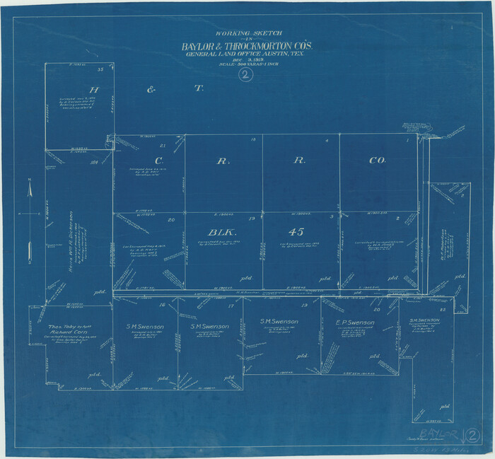

Print $20.00
- Digital $50.00
Baylor County Working Sketch 2
1919
Size: 22.4 x 24.1 inches
67287
Baylor County Working Sketch 3


Print $20.00
- Digital $50.00
Baylor County Working Sketch 3
1929
Size: 37.8 x 36.5 inches
67288
Baylor County Working Sketch 6


Print $20.00
- Digital $50.00
Baylor County Working Sketch 6
1943
Size: 27.5 x 41.0 inches
67291
General Highway Map, Throckmorton County, Texas
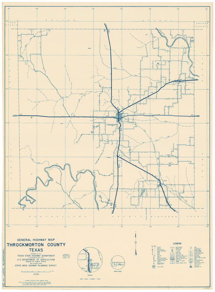

Print $20.00
General Highway Map, Throckmorton County, Texas
1940
Size: 24.9 x 18.2 inches
79258
General Highway Map, Throckmorton County, Texas
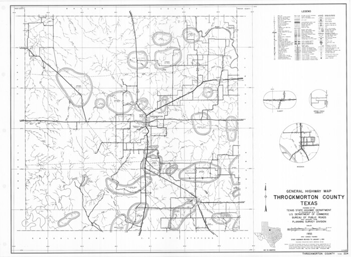

Print $20.00
General Highway Map, Throckmorton County, Texas
1961
Size: 18.2 x 24.8 inches
79676
Guadalupe County Sketch File 1a
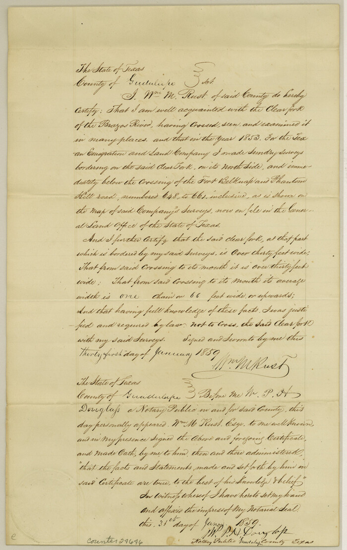

Print $4.00
- Digital $50.00
Guadalupe County Sketch File 1a
1859
Size: 12.6 x 7.9 inches
24646
Haskell County Rolled Sketch 6
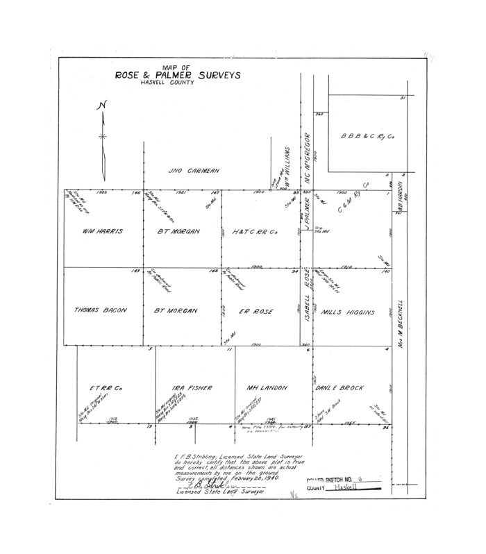

Print $20.00
- Digital $50.00
Haskell County Rolled Sketch 6
1940
Size: 22.3 x 19.6 inches
6166
Haskell County Sketch File 13
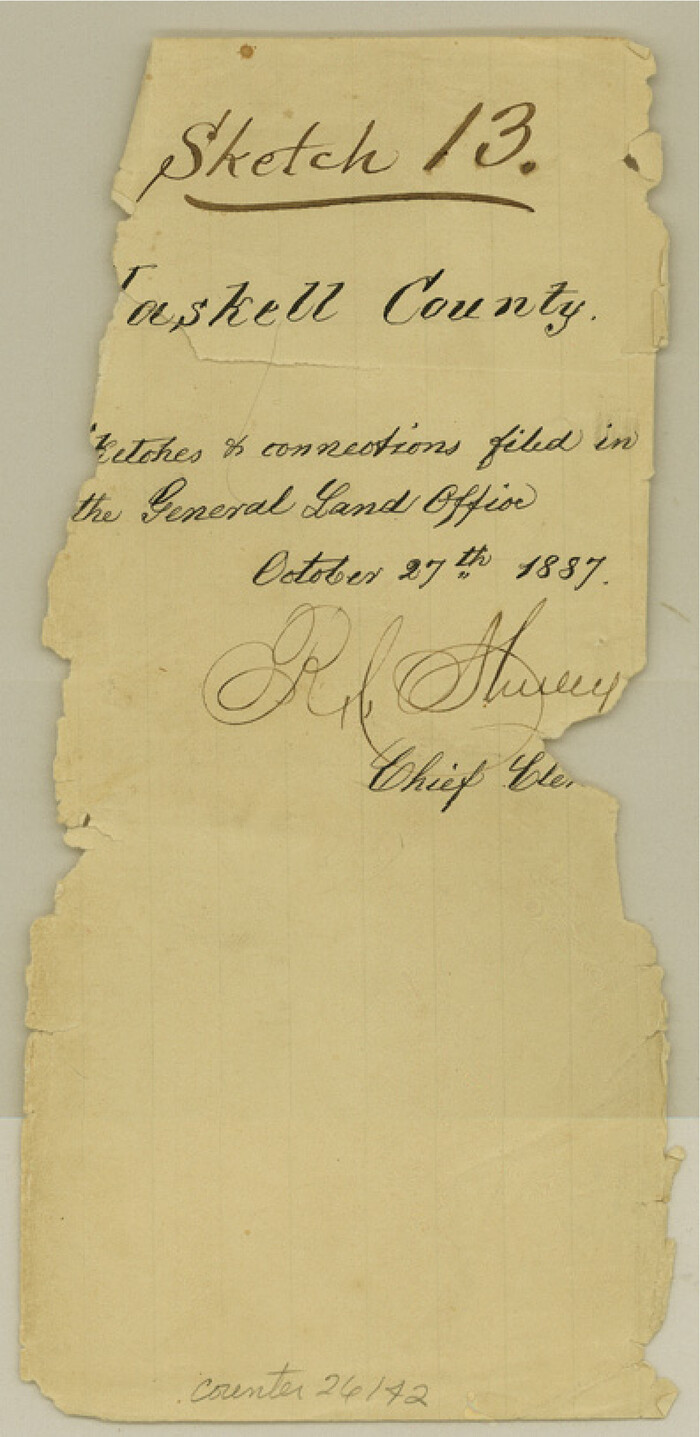

Print $37.00
- Digital $50.00
Haskell County Sketch File 13
Size: 8.1 x 4.0 inches
26142
Haskell County Sketch File 15
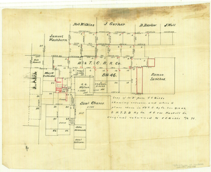

Print $24.00
- Digital $50.00
Haskell County Sketch File 15
1893
Size: 13.5 x 16.5 inches
26158
Haskell County Sketch File 16


Print $32.00
- Digital $50.00
Haskell County Sketch File 16
1894
Size: 11.2 x 8.8 inches
26163
Haskell County Sketch File 1A


Print $40.00
- Digital $50.00
Haskell County Sketch File 1A
Size: 12.3 x 14.5 inches
26119
Haskell County Sketch File 21


Print $20.00
- Digital $50.00
Haskell County Sketch File 21
1935
Size: 30.2 x 20.3 inches
11744
Haskell County Sketch File 9


Print $30.00
- Digital $50.00
Haskell County Sketch File 9
Size: 23.2 x 14.9 inches
26130
Haskell County Working Sketch 2


Print $3.00
- Digital $50.00
Haskell County Working Sketch 2
1914
Size: 14.9 x 10.1 inches
66060
Knox County Rolled Sketch 7


Print $20.00
- Digital $50.00
Knox County Rolled Sketch 7
Size: 25.5 x 39.9 inches
6556
Knox County Rolled Sketch 8
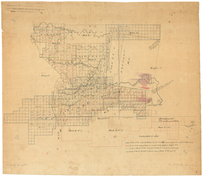

Print $20.00
- Digital $50.00
Knox County Rolled Sketch 8
Size: 28.2 x 32.5 inches
9406
Knox County Rolled Sketch 9
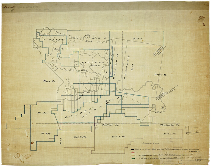

Print $20.00
- Digital $50.00
Knox County Rolled Sketch 9
Size: 26.1 x 33.0 inches
9407
Map of Throckmorton County Young Land District


Print $20.00
- Digital $50.00
Map of Throckmorton County Young Land District
1859
Size: 25.2 x 20.3 inches
4078
Plat of Common Line of Baylor and Throckmorton Counties as Run by A.D. Kerr and F.B. Stribling


Print $40.00
- Digital $50.00
Plat of Common Line of Baylor and Throckmorton Counties as Run by A.D. Kerr and F.B. Stribling
Size: 63.0 x 9.0 inches
89640
Shackelford County Working Sketch 3
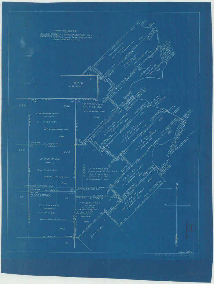

Print $20.00
- Digital $50.00
Shackelford County Working Sketch 3
1919
Size: 23.2 x 17.5 inches
63843
Stephens County Working Sketch 15


Print $20.00
- Digital $50.00
Stephens County Working Sketch 15
1963
Size: 35.8 x 36.8 inches
63958
Baylor County Rolled Sketch 5


Print $20.00
- Digital $50.00
Baylor County Rolled Sketch 5
1874
-
Size
43.2 x 39.7 inches
-
Map/Doc
8444
-
Creation Date
1874
Baylor County Rolled Sketch BT


Print $20.00
- Digital $50.00
Baylor County Rolled Sketch BT
1916
-
Size
21.4 x 24.0 inches
-
Map/Doc
5131
-
Creation Date
1916
Baylor County Sketch File 1


Print $6.00
- Digital $50.00
Baylor County Sketch File 1
-
Size
17.5 x 11.4 inches
-
Map/Doc
14117
Baylor County Sketch File 12B


Print $6.00
- Digital $50.00
Baylor County Sketch File 12B
1900
-
Size
13.4 x 9.0 inches
-
Map/Doc
14152
-
Creation Date
1900
Baylor County Sketch File 12C


Print $8.00
- Digital $50.00
Baylor County Sketch File 12C
1900
-
Size
13.5 x 8.8 inches
-
Map/Doc
14155
-
Creation Date
1900
Baylor County Sketch File 12D


Print $40.00
- Digital $50.00
Baylor County Sketch File 12D
1900
-
Size
20.0 x 42.5 inches
-
Map/Doc
10323
-
Creation Date
1900
Baylor County Sketch File 12h


Print $49.00
- Digital $50.00
Baylor County Sketch File 12h
-
Size
9.3 x 14.7 inches
-
Map/Doc
14175
Baylor County Sketch File 2


Print $10.00
- Digital $50.00
Baylor County Sketch File 2
-
Size
7.8 x 9.9 inches
-
Map/Doc
14119
Baylor County Sketch File 30


Print $14.00
- Digital $50.00
Baylor County Sketch File 30
-
Size
11.4 x 9.0 inches
-
Map/Doc
14228
Baylor County Working Sketch 2


Print $20.00
- Digital $50.00
Baylor County Working Sketch 2
1919
-
Size
22.4 x 24.1 inches
-
Map/Doc
67287
-
Creation Date
1919
Baylor County Working Sketch 3


Print $20.00
- Digital $50.00
Baylor County Working Sketch 3
1929
-
Size
37.8 x 36.5 inches
-
Map/Doc
67288
-
Creation Date
1929
Baylor County Working Sketch 6


Print $20.00
- Digital $50.00
Baylor County Working Sketch 6
1943
-
Size
27.5 x 41.0 inches
-
Map/Doc
67291
-
Creation Date
1943
General Highway Map, Throckmorton County, Texas


Print $20.00
General Highway Map, Throckmorton County, Texas
1940
-
Size
24.9 x 18.2 inches
-
Map/Doc
79258
-
Creation Date
1940
General Highway Map, Throckmorton County, Texas


Print $20.00
General Highway Map, Throckmorton County, Texas
1961
-
Size
18.2 x 24.8 inches
-
Map/Doc
79676
-
Creation Date
1961
Guadalupe County Sketch File 1a


Print $4.00
- Digital $50.00
Guadalupe County Sketch File 1a
1859
-
Size
12.6 x 7.9 inches
-
Map/Doc
24646
-
Creation Date
1859
Haskell County Rolled Sketch 6


Print $20.00
- Digital $50.00
Haskell County Rolled Sketch 6
1940
-
Size
22.3 x 19.6 inches
-
Map/Doc
6166
-
Creation Date
1940
Haskell County Sketch File 13


Print $37.00
- Digital $50.00
Haskell County Sketch File 13
-
Size
8.1 x 4.0 inches
-
Map/Doc
26142
Haskell County Sketch File 15


Print $24.00
- Digital $50.00
Haskell County Sketch File 15
1893
-
Size
13.5 x 16.5 inches
-
Map/Doc
26158
-
Creation Date
1893
Haskell County Sketch File 16


Print $32.00
- Digital $50.00
Haskell County Sketch File 16
1894
-
Size
11.2 x 8.8 inches
-
Map/Doc
26163
-
Creation Date
1894
Haskell County Sketch File 1A


Print $40.00
- Digital $50.00
Haskell County Sketch File 1A
-
Size
12.3 x 14.5 inches
-
Map/Doc
26119
Haskell County Sketch File 21


Print $20.00
- Digital $50.00
Haskell County Sketch File 21
1935
-
Size
30.2 x 20.3 inches
-
Map/Doc
11744
-
Creation Date
1935
Haskell County Sketch File 9


Print $30.00
- Digital $50.00
Haskell County Sketch File 9
-
Size
23.2 x 14.9 inches
-
Map/Doc
26130
Haskell County Working Sketch 2


Print $3.00
- Digital $50.00
Haskell County Working Sketch 2
1914
-
Size
14.9 x 10.1 inches
-
Map/Doc
66060
-
Creation Date
1914
Knox County Rolled Sketch 7


Print $20.00
- Digital $50.00
Knox County Rolled Sketch 7
-
Size
25.5 x 39.9 inches
-
Map/Doc
6556
Knox County Rolled Sketch 8


Print $20.00
- Digital $50.00
Knox County Rolled Sketch 8
-
Size
28.2 x 32.5 inches
-
Map/Doc
9406
Knox County Rolled Sketch 9


Print $20.00
- Digital $50.00
Knox County Rolled Sketch 9
-
Size
26.1 x 33.0 inches
-
Map/Doc
9407
Map of Throckmorton County Young Land District


Print $20.00
- Digital $50.00
Map of Throckmorton County Young Land District
1859
-
Size
25.2 x 20.3 inches
-
Map/Doc
4078
-
Creation Date
1859
Plat of Common Line of Baylor and Throckmorton Counties as Run by A.D. Kerr and F.B. Stribling


Print $40.00
- Digital $50.00
Plat of Common Line of Baylor and Throckmorton Counties as Run by A.D. Kerr and F.B. Stribling
-
Size
63.0 x 9.0 inches
-
Map/Doc
89640
Shackelford County Working Sketch 3


Print $20.00
- Digital $50.00
Shackelford County Working Sketch 3
1919
-
Size
23.2 x 17.5 inches
-
Map/Doc
63843
-
Creation Date
1919
Stephens County Working Sketch 15


Print $20.00
- Digital $50.00
Stephens County Working Sketch 15
1963
-
Size
35.8 x 36.8 inches
-
Map/Doc
63958
-
Creation Date
1963