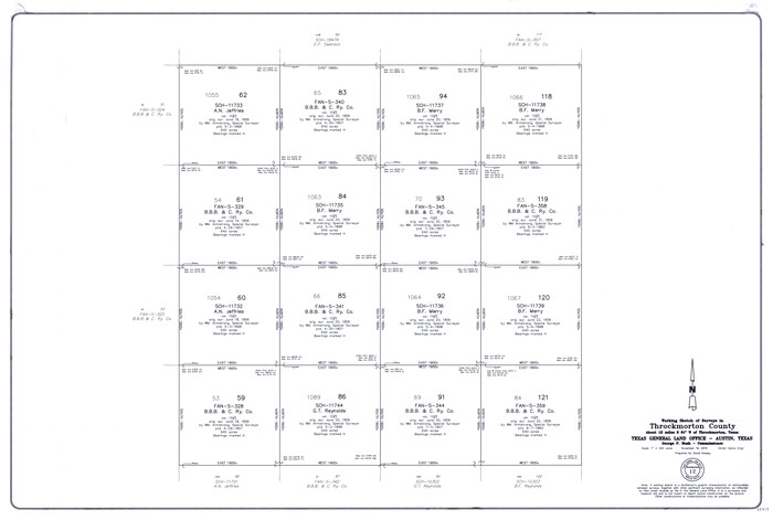
Throckmorton County Working Sketch 12
2019
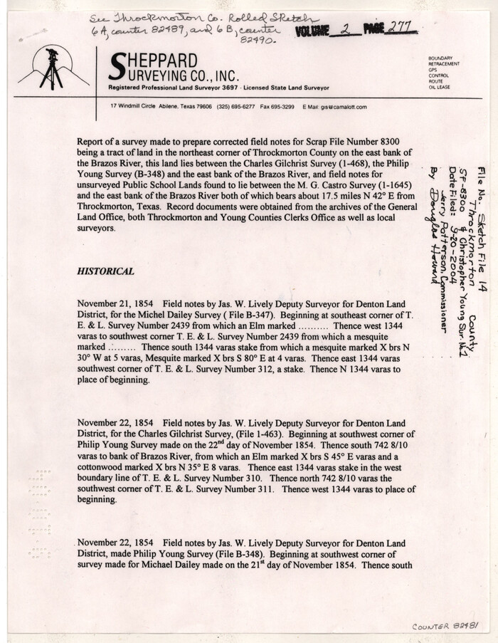
Throckmorton County Sketch File 14
2004

Throckmorton County Rolled Sketch 6A
2004

Throckmorton County Rolled Sketch 6B
2004

Throckmorton County Rolled Sketch 5
2001

Throckmorton County Rolled Sketch 5A
2001
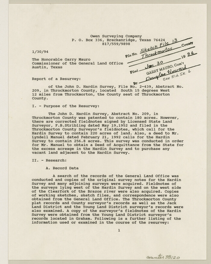
Throckmorton County Sketch File 13
1994
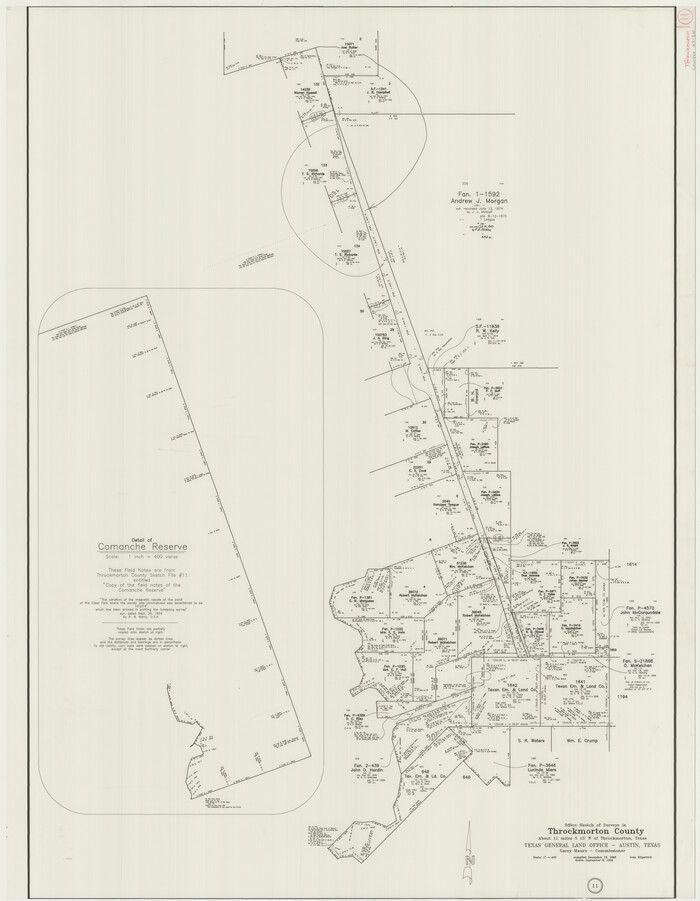
Throckmorton County Working Sketch 11
1994
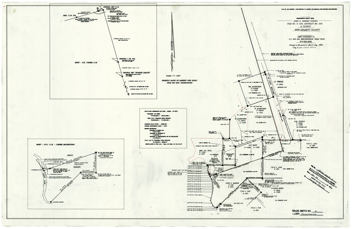
Throckmorton County Rolled Sketch 4
1993
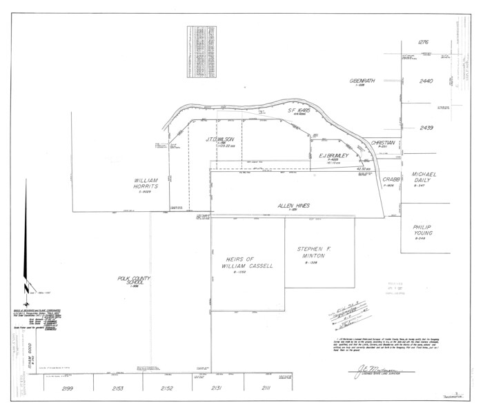
Throckmorton County Rolled Sketch 3
1987
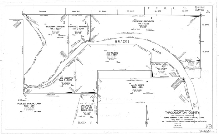
Throckmorton County Working Sketch 10
1986

Throckmorton County Working Sketch 9
1963

Stephens County Working Sketch 15
1963
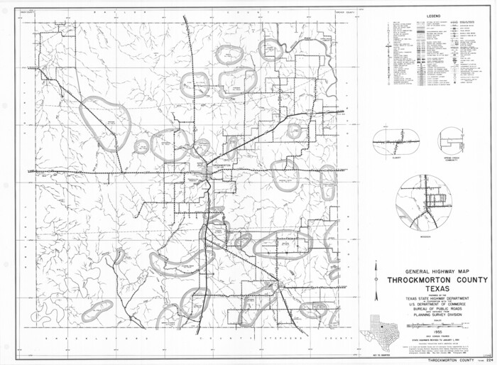
General Highway Map, Throckmorton County, Texas
1961

Throckmorton County Working Sketch 8
1958
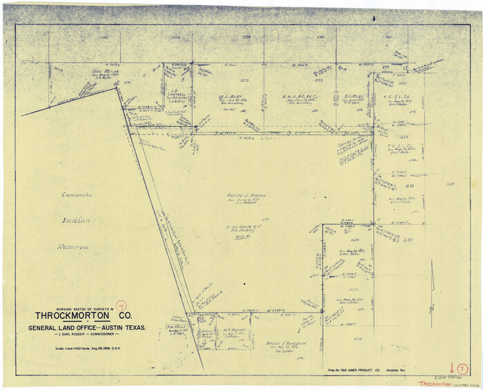
Throckmorton County Working Sketch 7
1956

Throckmorton County Sketch File 10
1955
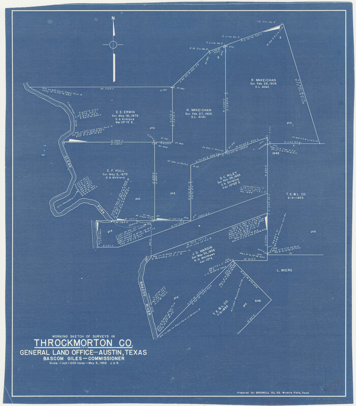
Throckmorton County Working Sketch 6
1952
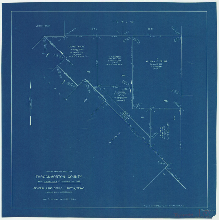
Throckmorton County Working Sketch 4
1949
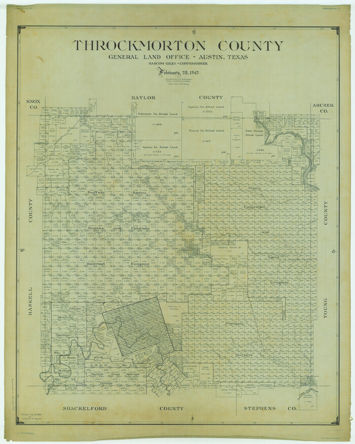
Throckmorton County
1943
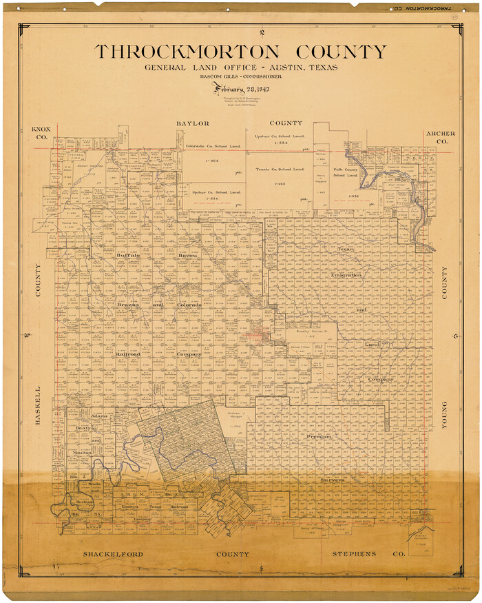
Throckmorton County
1943
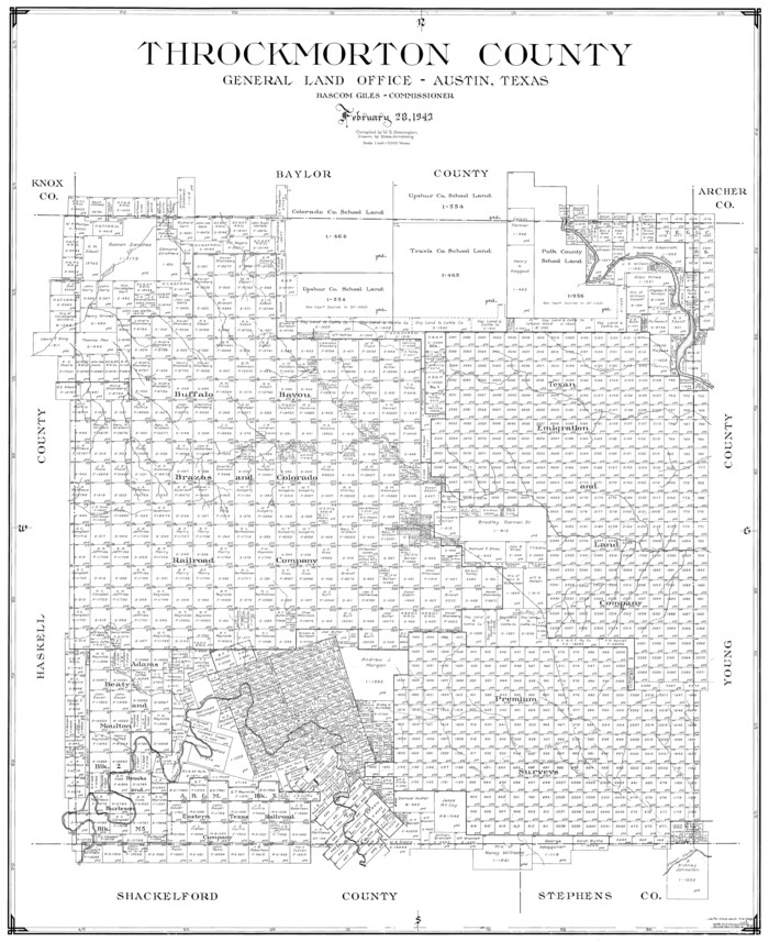
Throckmorton County
1943

Baylor County Working Sketch 6
1943
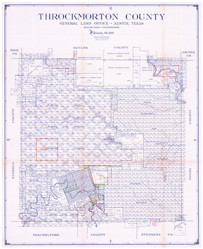
Throckmorton County Working Sketch Graphic Index
1943
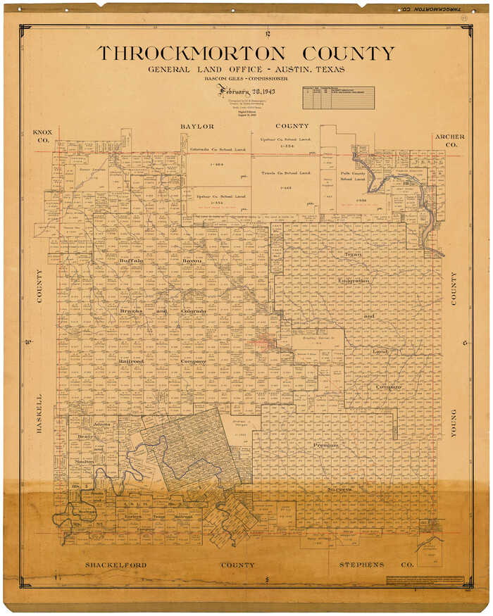
Throckmorton County
1943
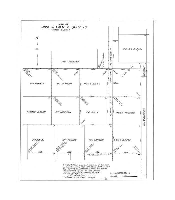
Haskell County Rolled Sketch 6
1940
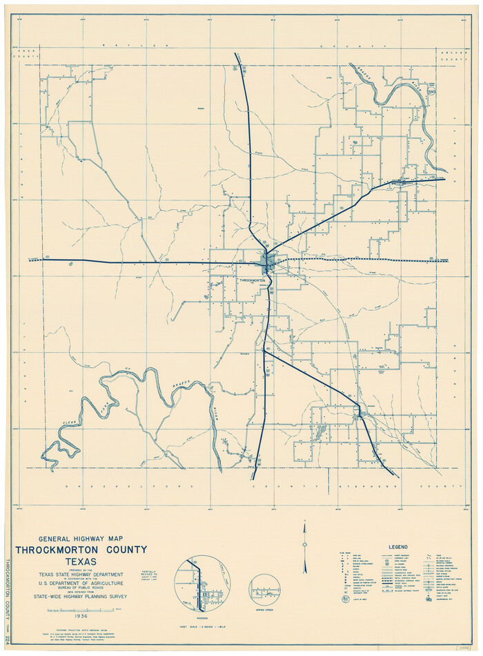
General Highway Map, Throckmorton County, Texas
1940

Haskell County Sketch File 21
1935

Baylor County Working Sketch 3
1929
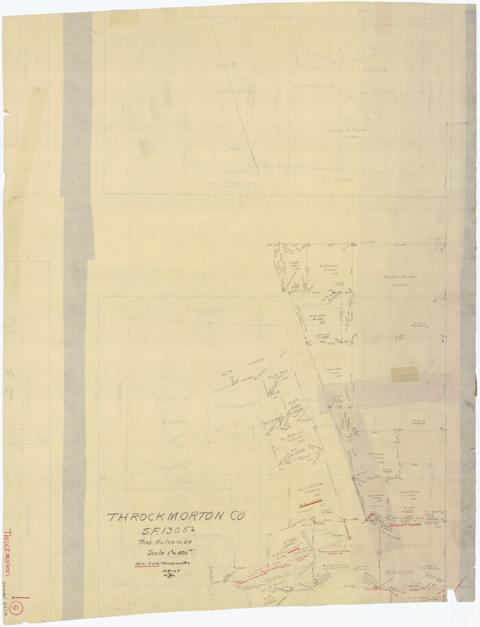
Throckmorton County Working Sketch 5
1927

Throckmorton County Working Sketch 12
2019
-
Size
24.7 x 36.7 inches
-
Map/Doc
95719
-
Creation Date
2019

Throckmorton County Sketch File 14
2004
-
Size
11.0 x 8.5 inches
-
Map/Doc
82481
-
Creation Date
2004

Throckmorton County Rolled Sketch 6A
2004
-
Size
20.3 x 24.3 inches
-
Map/Doc
82489
-
Creation Date
2004

Throckmorton County Rolled Sketch 6B
2004
-
Size
20.3 x 24.2 inches
-
Map/Doc
82490
-
Creation Date
2004

Throckmorton County Rolled Sketch 5
2001
-
Size
25.0 x 35.9 inches
-
Map/Doc
76405
-
Creation Date
2001

Throckmorton County Rolled Sketch 5A
2001
-
Size
25.2 x 36.0 inches
-
Map/Doc
76406
-
Creation Date
2001

Throckmorton County Sketch File 13
1994
-
Size
11.3 x 9.1 inches
-
Map/Doc
38120
-
Creation Date
1994

Throckmorton County Working Sketch 11
1994
-
Size
43.9 x 34.1 inches
-
Map/Doc
62120
-
Creation Date
1994

Throckmorton County Rolled Sketch 4
1993
-
Size
23.0 x 35.0 inches
-
Map/Doc
7990
-
Creation Date
1993

Throckmorton County Rolled Sketch 3
1987
-
Size
31.2 x 36.3 inches
-
Map/Doc
7986
-
Creation Date
1987

Throckmorton County Working Sketch 10
1986
-
Size
22.8 x 36.8 inches
-
Map/Doc
62119
-
Creation Date
1986

Throckmorton County Working Sketch 9
1963
-
Size
25.2 x 35.8 inches
-
Map/Doc
62118
-
Creation Date
1963

Stephens County Working Sketch 15
1963
-
Size
35.8 x 36.8 inches
-
Map/Doc
63958
-
Creation Date
1963

General Highway Map, Throckmorton County, Texas
1961
-
Size
18.2 x 24.8 inches
-
Map/Doc
79676
-
Creation Date
1961

Throckmorton County Working Sketch 8
1958
-
Size
21.6 x 30.4 inches
-
Map/Doc
62117
-
Creation Date
1958

Throckmorton County Working Sketch 7
1956
-
Size
25.8 x 32.0 inches
-
Map/Doc
62116
-
Creation Date
1956

Throckmorton County Sketch File 10
1955
-
Size
11.2 x 8.8 inches
-
Map/Doc
38102
-
Creation Date
1955

Throckmorton County Working Sketch 6
1952
-
Size
24.7 x 21.7 inches
-
Map/Doc
62115
-
Creation Date
1952

Throckmorton County Working Sketch 4
1949
-
Size
25.0 x 24.9 inches
-
Map/Doc
62113
-
Creation Date
1949

Throckmorton County
1943
-
Size
47.8 x 38.2 inches
-
Map/Doc
63065
-
Creation Date
1943

Throckmorton County
1943
-
Size
46.3 x 37.8 inches
-
Map/Doc
73302
-
Creation Date
1943

Throckmorton County
1943
-
Size
40.1 x 32.8 inches
-
Map/Doc
77435
-
Creation Date
1943

Baylor County Working Sketch 6
1943
-
Size
27.5 x 41.0 inches
-
Map/Doc
67291
-
Creation Date
1943

Throckmorton County Working Sketch Graphic Index
1943
-
Size
44.6 x 36.3 inches
-
Map/Doc
76713
-
Creation Date
1943

Throckmorton County
1943
-
Size
46.7 x 37.4 inches
-
Map/Doc
95653
-
Creation Date
1943

Haskell County Rolled Sketch 6
1940
-
Size
22.3 x 19.6 inches
-
Map/Doc
6166
-
Creation Date
1940

General Highway Map, Throckmorton County, Texas
1940
-
Size
24.9 x 18.2 inches
-
Map/Doc
79258
-
Creation Date
1940

Haskell County Sketch File 21
1935
-
Size
30.2 x 20.3 inches
-
Map/Doc
11744
-
Creation Date
1935

Baylor County Working Sketch 3
1929
-
Size
37.8 x 36.5 inches
-
Map/Doc
67288
-
Creation Date
1929

Throckmorton County Working Sketch 5
1927
-
Size
31.8 x 24.4 inches
-
Map/Doc
62114
-
Creation Date
1927