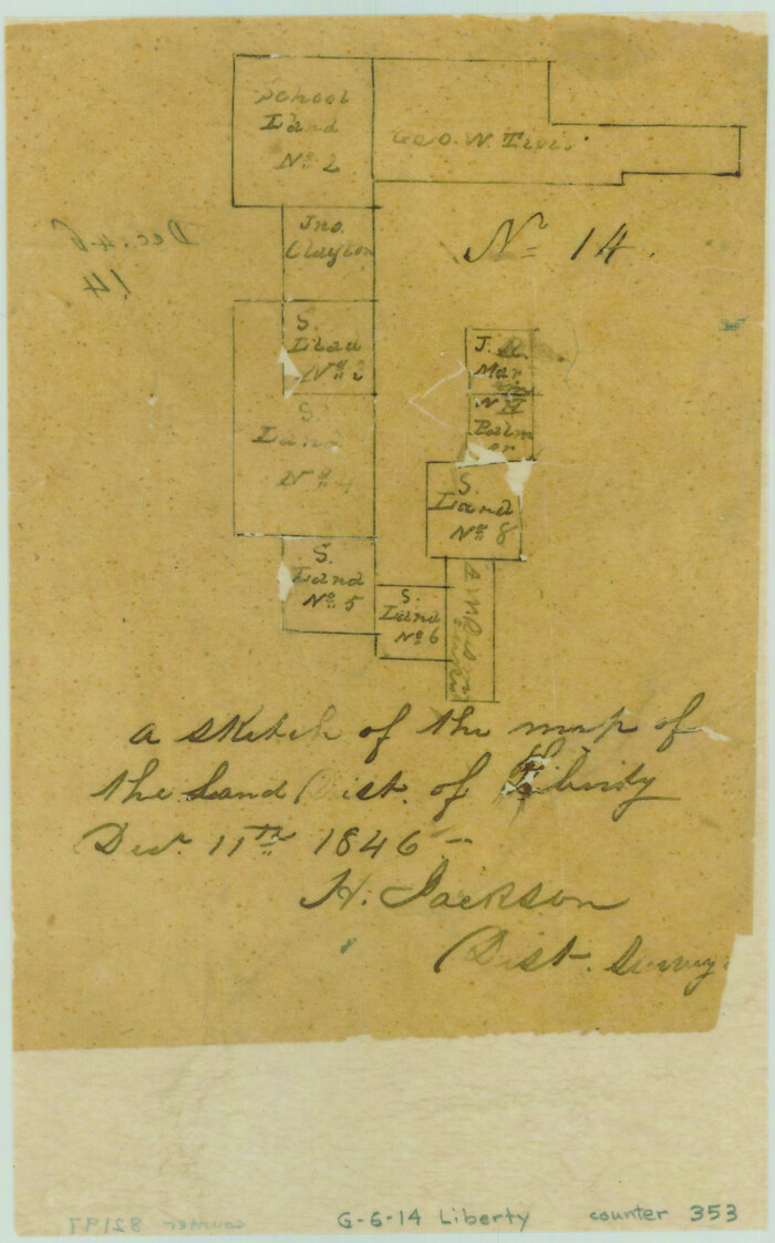
A sketch of the map of the Land Dist. of Liberty

Print $2.00
- Digital $50.00
A sketch of the map of the Land Dist. of Liberty
Size: 6.3 x 3.9 inches
353
Atlas T - Titles to Frontier Settlers issued by the Commissioner Carlos S. Taylor


Atlas T - Titles to Frontier Settlers issued by the Commissioner Carlos S. Taylor
1834
94536
English Field Notes of the Spanish Archives - Book 4 & W


English Field Notes of the Spanish Archives - Book 4 & W
1836
96530
English Field Notes of the Spanish Archives - Books DB3 & WR


English Field Notes of the Spanish Archives - Books DB3 & WR
1835
96548
English Field Notes of the Spanish Archives - Books DBE, WBPS, GAN, WB3, and X


English Field Notes of the Spanish Archives - Books DBE, WBPS, GAN, WB3, and X
1835
96546
English Field Notes of the Spanish Archives - Books GMP, FH, SCH, and JAV


English Field Notes of the Spanish Archives - Books GMP, FH, SCH, and JAV
1835
96545
English Field Notes of the Spanish Archives - Books JMH, MCMCHB, TGI


English Field Notes of the Spanish Archives - Books JMH, MCMCHB, TGI
1835
96547
English Field Notes of the Spanish Archives - Books SAS, DB4, GWS, JWB, and JWB3


English Field Notes of the Spanish Archives - Books SAS, DB4, GWS, JWB, and JWB3
1835
96551
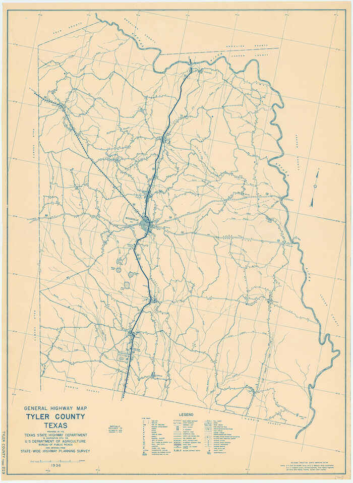
General Highway Map, Tyler County, Texas

Print $20.00
General Highway Map, Tyler County, Texas
1940
Size: 24.8 x 18.1 inches
79264
General Highway Map, Tyler County, Texas


Print $20.00
General Highway Map, Tyler County, Texas
1961
Size: 24.8 x 18.1 inches
79690
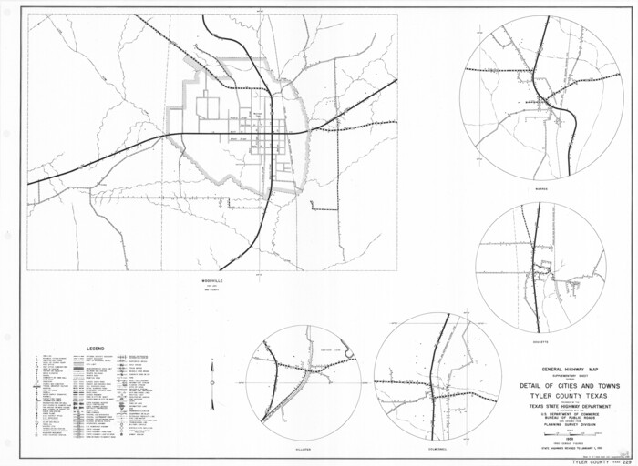
General Highway Map. Detail of Cities and Towns in Tyler County, Texas [Woodville and vicinity]

Print $20.00
General Highway Map. Detail of Cities and Towns in Tyler County, Texas [Woodville and vicinity]
1961
Size: 18.1 x 24.8 inches
79691
Hardin County Rolled Sketch MH


Print $21.00
- Digital $50.00
Hardin County Rolled Sketch MH
1936
Size: 10.1 x 15.2 inches
45760
Hardin County Rolled Sketch TMH


Print $46.00
- Digital $50.00
Hardin County Rolled Sketch TMH
1936
Size: 25.7 x 23.9 inches
6093
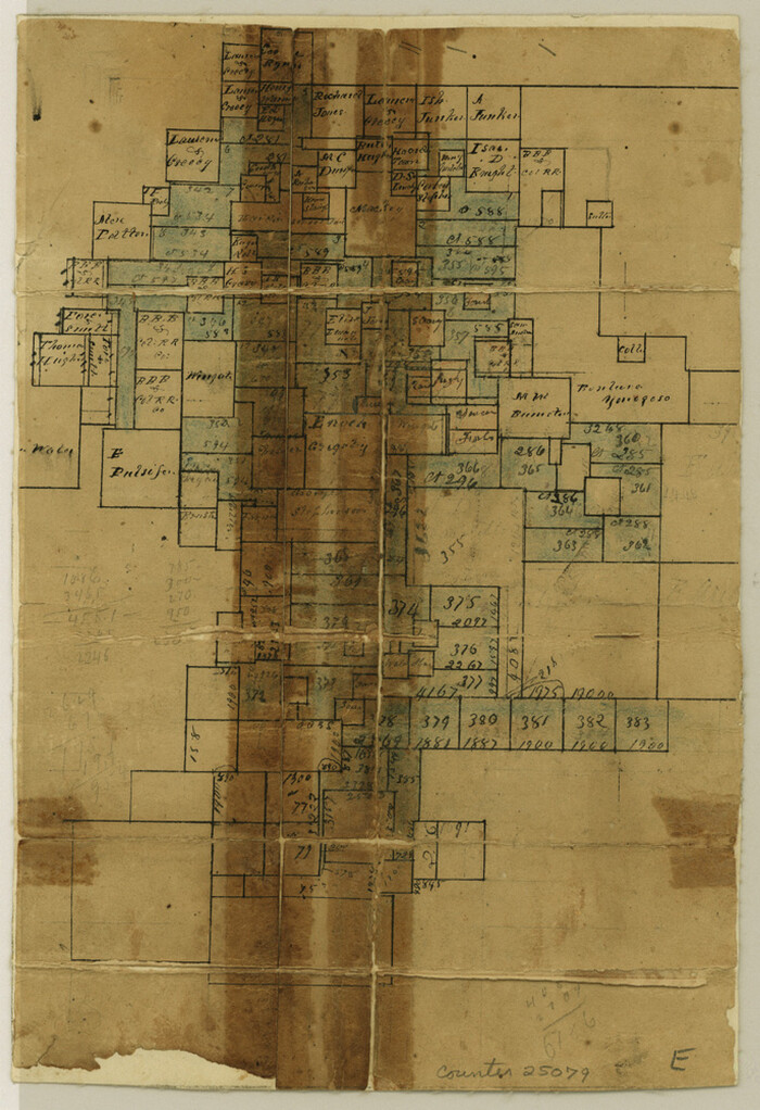
Hardin County Sketch File 1

Print $8.00
- Digital $50.00
Hardin County Sketch File 1
1851
Size: 10.0 x 6.9 inches
25079
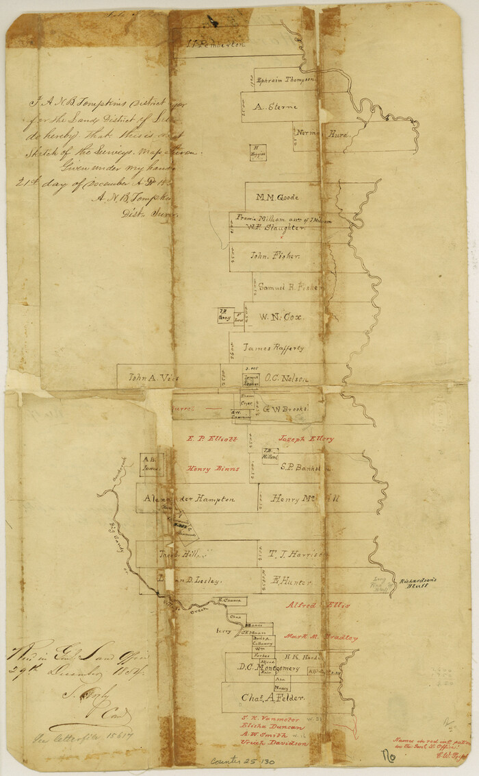
Hardin County Sketch File 17

Print $6.00
- Digital $50.00
Hardin County Sketch File 17
1854
Size: 15.9 x 9.9 inches
25130
Hardin County Sketch File 39 and 40

Print $36.00
- Digital $50.00
Hardin County Sketch File 39 and 40
Size: 8.4 x 13.2 inches
25180
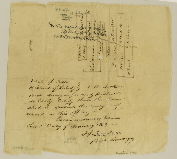
Hardin County Sketch File 44

Print $6.00
- Digital $50.00
Hardin County Sketch File 44
Size: 6.7 x 7.4 inches
25192
Hardin County Sketch File 66


Print $20.00
- Digital $50.00
Hardin County Sketch File 66
1948
Size: 19.5 x 35.8 inches
11639
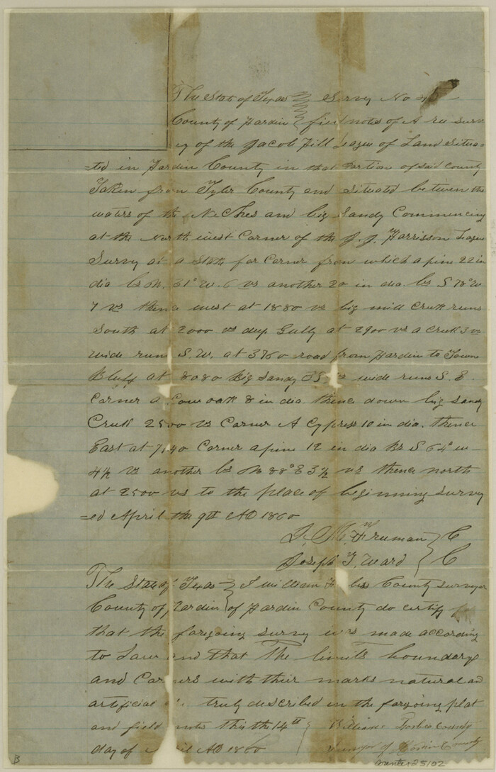
Hardin County Sketch File 8

Print $8.00
- Digital $50.00
Hardin County Sketch File 8
1870
Size: 12.6 x 8.1 inches
25102
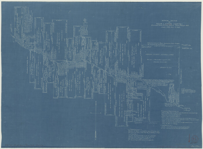
Hardin County Working Sketch 42

Print $20.00
- Digital $50.00
Hardin County Working Sketch 42
1917
Size: 16.2 x 22.1 inches
63441
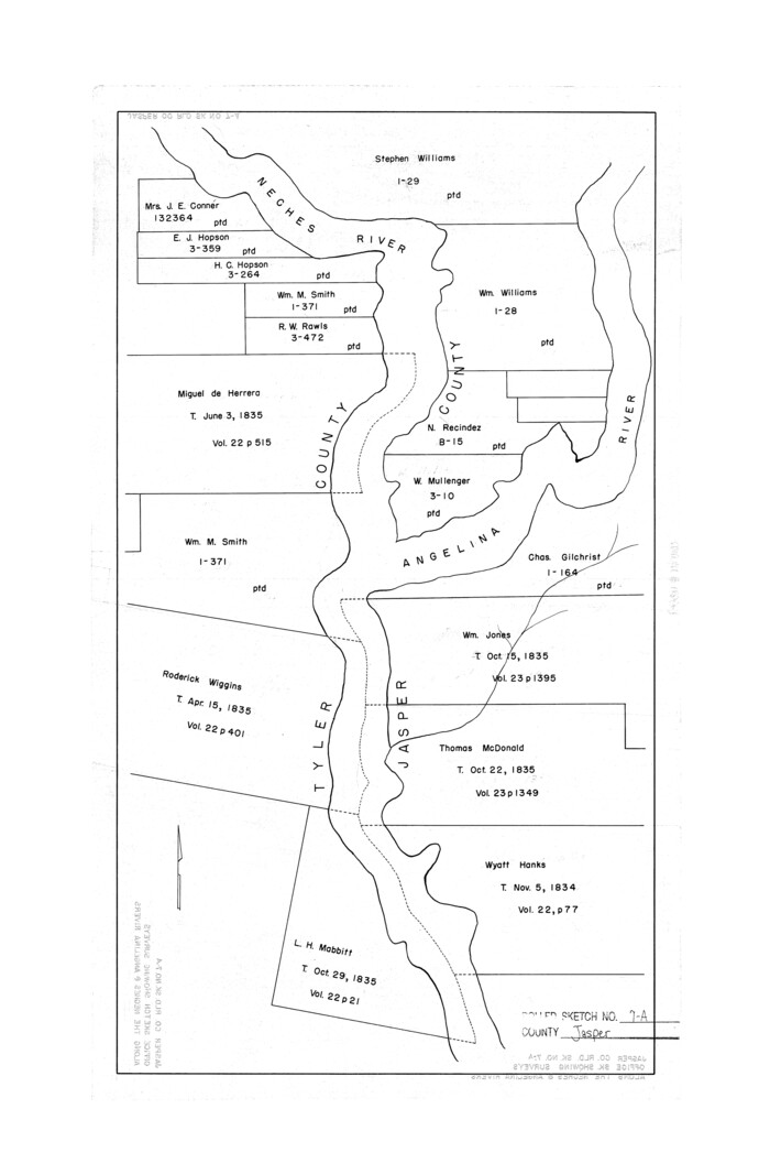
Jasper County Rolled Sketch 7A

Print $20.00
- Digital $50.00
Jasper County Rolled Sketch 7A
Size: 22.4 x 14.7 inches
6354
Jasper County Rolled Sketch 7B


Print $20.00
- Digital $50.00
Jasper County Rolled Sketch 7B
Size: 19.7 x 11.6 inches
6355
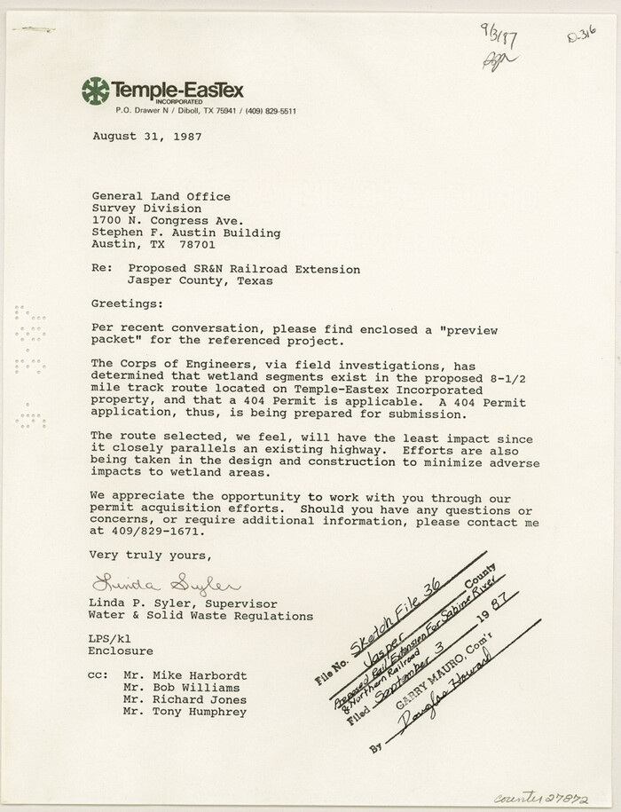
Jasper County Sketch File 36

Print $32.00
- Digital $50.00
Jasper County Sketch File 36
1987
Size: 11.2 x 8.6 inches
27872
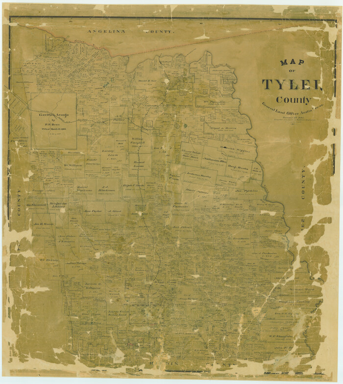
Map of Tyler County

Print $20.00
- Digital $50.00
Map of Tyler County
1897
Size: 42.0 x 37.5 inches
16907
Map of Tyler County


Print $20.00
- Digital $50.00
Map of Tyler County
1863
Size: 21.0 x 22.3 inches
4099
Map of Tyler County
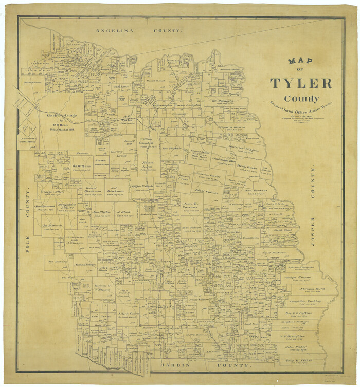

Print $20.00
- Digital $50.00
Map of Tyler County
1897
Size: 42.2 x 39.2 inches
63081
Map of Tyler County, Texas


Print $20.00
- Digital $50.00
Map of Tyler County, Texas
1882
Size: 28.3 x 21.4 inches
669
Map of Tyler County, Texas


Print $20.00
- Digital $50.00
Map of Tyler County, Texas
1879
Size: 28.6 x 22.8 inches
720
Map of Tyler County, Texas
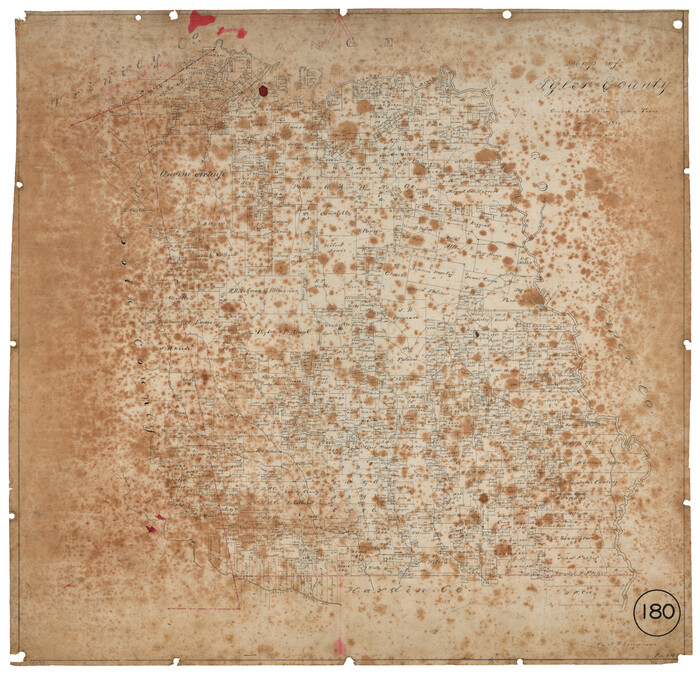

Print $20.00
- Digital $50.00
Map of Tyler County, Texas
1881
Size: 22.3 x 24.2 inches
762
Map of the Property traversed by the Trinity & Sabine Railroad from Fortieth Mile to Ogden, Texas
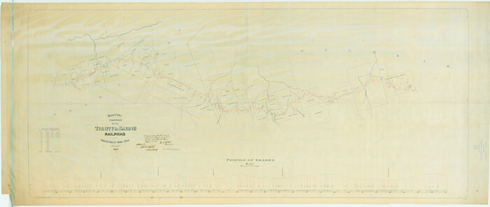

Print $40.00
- Digital $50.00
Map of the Property traversed by the Trinity & Sabine Railroad from Fortieth Mile to Ogden, Texas
1882
Size: 39.5 x 93.2 inches
64046
A sketch of the map of the Land Dist. of Liberty


Print $2.00
- Digital $50.00
A sketch of the map of the Land Dist. of Liberty
-
Size
6.3 x 3.9 inches
-
Map/Doc
353
Atlas T - Titles to Frontier Settlers issued by the Commissioner Carlos S. Taylor


Atlas T - Titles to Frontier Settlers issued by the Commissioner Carlos S. Taylor
1834
-
Map/Doc
94536
-
Creation Date
1834
English Field Notes of the Spanish Archives - Book 4 & W


English Field Notes of the Spanish Archives - Book 4 & W
1836
-
Map/Doc
96530
-
Creation Date
1836
English Field Notes of the Spanish Archives - Books DB3 & WR


English Field Notes of the Spanish Archives - Books DB3 & WR
1835
-
Map/Doc
96548
-
Creation Date
1835
English Field Notes of the Spanish Archives - Books DBE, WBPS, GAN, WB3, and X


English Field Notes of the Spanish Archives - Books DBE, WBPS, GAN, WB3, and X
1835
-
Map/Doc
96546
-
Creation Date
1835
English Field Notes of the Spanish Archives - Books GMP, FH, SCH, and JAV


English Field Notes of the Spanish Archives - Books GMP, FH, SCH, and JAV
1835
-
Map/Doc
96545
-
Creation Date
1835
English Field Notes of the Spanish Archives - Books JMH, MCMCHB, TGI


English Field Notes of the Spanish Archives - Books JMH, MCMCHB, TGI
1835
-
Map/Doc
96547
-
Creation Date
1835
English Field Notes of the Spanish Archives - Books SAS, DB4, GWS, JWB, and JWB3


English Field Notes of the Spanish Archives - Books SAS, DB4, GWS, JWB, and JWB3
1835
-
Map/Doc
96551
-
Creation Date
1835
General Highway Map, Tyler County, Texas


Print $20.00
General Highway Map, Tyler County, Texas
1940
-
Size
24.8 x 18.1 inches
-
Map/Doc
79264
-
Creation Date
1940
General Highway Map, Tyler County, Texas


Print $20.00
General Highway Map, Tyler County, Texas
1961
-
Size
24.8 x 18.1 inches
-
Map/Doc
79690
-
Creation Date
1961
General Highway Map. Detail of Cities and Towns in Tyler County, Texas [Woodville and vicinity]
![79691, General Highway Map. Detail of Cities and Towns in Tyler County, Texas [Woodville and vicinity], Texas State Library and Archives](https://historictexasmaps.com/wmedia_w700/maps/79691.tif.jpg)
![79691, General Highway Map. Detail of Cities and Towns in Tyler County, Texas [Woodville and vicinity], Texas State Library and Archives](https://historictexasmaps.com/wmedia_w700/maps/79691.tif.jpg)
Print $20.00
General Highway Map. Detail of Cities and Towns in Tyler County, Texas [Woodville and vicinity]
1961
-
Size
18.1 x 24.8 inches
-
Map/Doc
79691
-
Creation Date
1961
Hardin County Rolled Sketch MH


Print $21.00
- Digital $50.00
Hardin County Rolled Sketch MH
1936
-
Size
10.1 x 15.2 inches
-
Map/Doc
45760
-
Creation Date
1936
Hardin County Rolled Sketch TMH


Print $46.00
- Digital $50.00
Hardin County Rolled Sketch TMH
1936
-
Size
25.7 x 23.9 inches
-
Map/Doc
6093
-
Creation Date
1936
Hardin County Sketch File 1


Print $8.00
- Digital $50.00
Hardin County Sketch File 1
1851
-
Size
10.0 x 6.9 inches
-
Map/Doc
25079
-
Creation Date
1851
Hardin County Sketch File 17


Print $6.00
- Digital $50.00
Hardin County Sketch File 17
1854
-
Size
15.9 x 9.9 inches
-
Map/Doc
25130
-
Creation Date
1854
Hardin County Sketch File 39 and 40


Print $36.00
- Digital $50.00
Hardin County Sketch File 39 and 40
-
Size
8.4 x 13.2 inches
-
Map/Doc
25180
Hardin County Sketch File 44


Print $6.00
- Digital $50.00
Hardin County Sketch File 44
-
Size
6.7 x 7.4 inches
-
Map/Doc
25192
Hardin County Sketch File 66


Print $20.00
- Digital $50.00
Hardin County Sketch File 66
1948
-
Size
19.5 x 35.8 inches
-
Map/Doc
11639
-
Creation Date
1948
Hardin County Sketch File 8


Print $8.00
- Digital $50.00
Hardin County Sketch File 8
1870
-
Size
12.6 x 8.1 inches
-
Map/Doc
25102
-
Creation Date
1870
Hardin County Working Sketch 42


Print $20.00
- Digital $50.00
Hardin County Working Sketch 42
1917
-
Size
16.2 x 22.1 inches
-
Map/Doc
63441
-
Creation Date
1917
Jasper County Rolled Sketch 7A


Print $20.00
- Digital $50.00
Jasper County Rolled Sketch 7A
-
Size
22.4 x 14.7 inches
-
Map/Doc
6354
Jasper County Rolled Sketch 7B


Print $20.00
- Digital $50.00
Jasper County Rolled Sketch 7B
-
Size
19.7 x 11.6 inches
-
Map/Doc
6355
Jasper County Sketch File 36


Print $32.00
- Digital $50.00
Jasper County Sketch File 36
1987
-
Size
11.2 x 8.6 inches
-
Map/Doc
27872
-
Creation Date
1987
Map of Tyler County


Print $20.00
- Digital $50.00
Map of Tyler County
1897
-
Size
42.0 x 37.5 inches
-
Map/Doc
16907
-
Creation Date
1897
Map of Tyler County


Print $20.00
- Digital $50.00
Map of Tyler County
1863
-
Size
21.0 x 22.3 inches
-
Map/Doc
4099
-
Creation Date
1863
Map of Tyler County


Print $20.00
- Digital $50.00
Map of Tyler County
1897
-
Size
42.2 x 39.2 inches
-
Map/Doc
63081
-
Creation Date
1897
Map of Tyler County, Texas


Print $20.00
- Digital $50.00
Map of Tyler County, Texas
1882
-
Size
28.3 x 21.4 inches
-
Map/Doc
669
-
Creation Date
1882
Map of Tyler County, Texas


Print $20.00
- Digital $50.00
Map of Tyler County, Texas
1879
-
Size
28.6 x 22.8 inches
-
Map/Doc
720
-
Creation Date
1879
Map of Tyler County, Texas


Print $20.00
- Digital $50.00
Map of Tyler County, Texas
1881
-
Size
22.3 x 24.2 inches
-
Map/Doc
762
-
Creation Date
1881
Map of the Property traversed by the Trinity & Sabine Railroad from Fortieth Mile to Ogden, Texas


Print $40.00
- Digital $50.00
Map of the Property traversed by the Trinity & Sabine Railroad from Fortieth Mile to Ogden, Texas
1882
-
Size
39.5 x 93.2 inches
-
Map/Doc
64046
-
Creation Date
1882