
A Map of Matagorda Bay and County With the Adjacent County
1839

Bird's Eye View of Victoria
1873
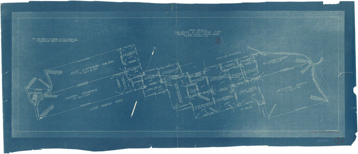
Calhoun County Working Sketch 3
1923
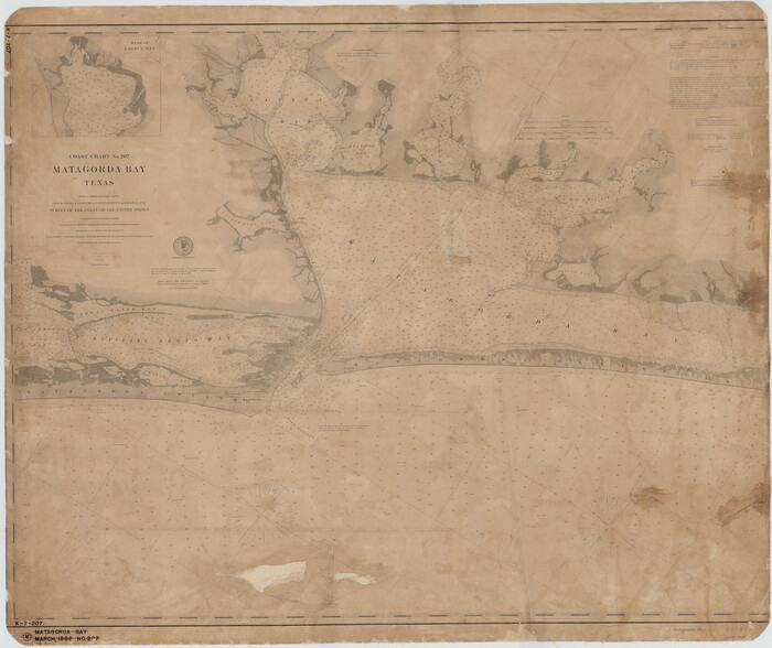
Coast Chart No. 207 - Matagorda Bay, Texas
1888

Connected Map of DeWitt's Colony compiled from the surveys of Byrd Lockhart
1831

Connected Map of the County of Victoria
1838

DeWitt County Sketch File 2
1868
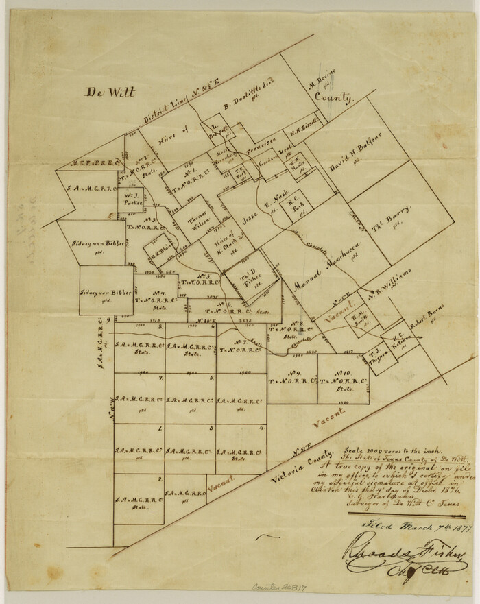
DeWitt County Sketch File 7
1876
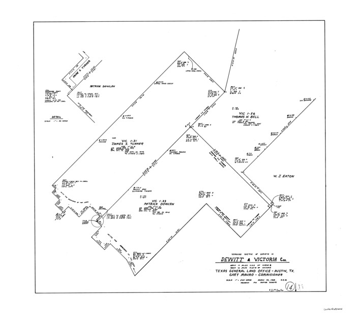
DeWitt County Working Sketch 14
1988
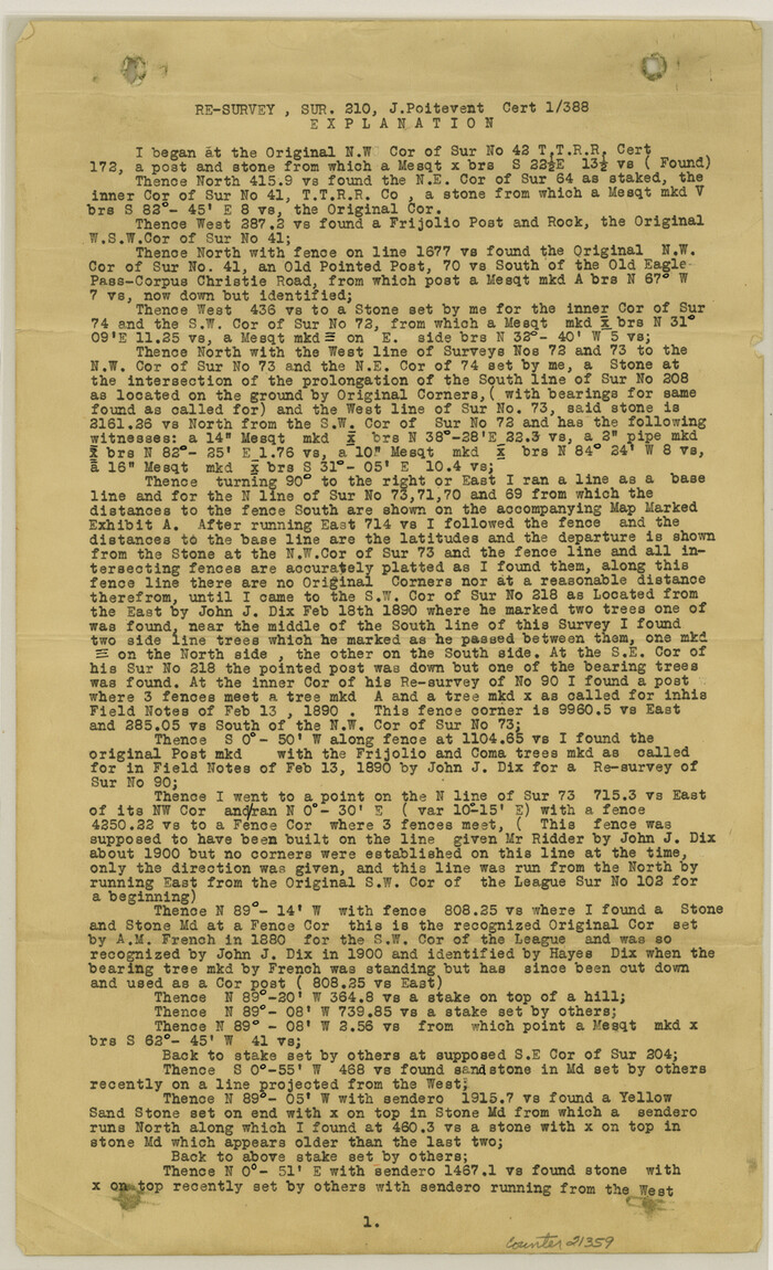
Duval County Sketch File 35

General Highway Map, Victoria County, Texas
1940

General Highway Map, Victoria County, Texas
1961

Guadalupe-Blanco River Authority Master Plan
Jackson County Rolled Sketch 13
1975
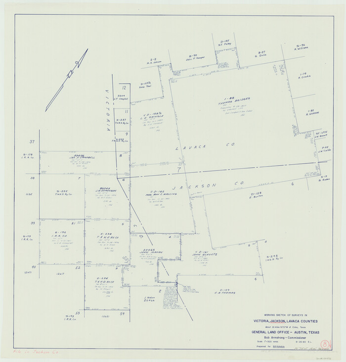
Jackson County Working Sketch 8
1980

Lavaca County Sketch File 2
1849

Lavaca County Sketch File 3
1853
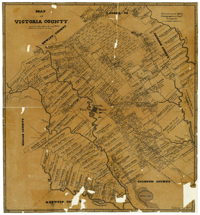
Map of Victoria County
1873
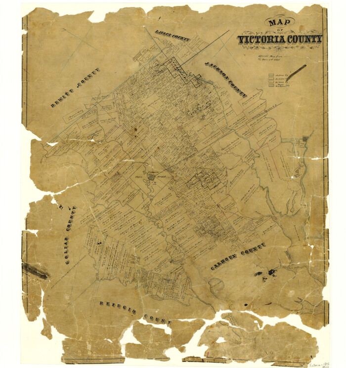
Map of Victoria County
1895

Map of Victoria County
1873
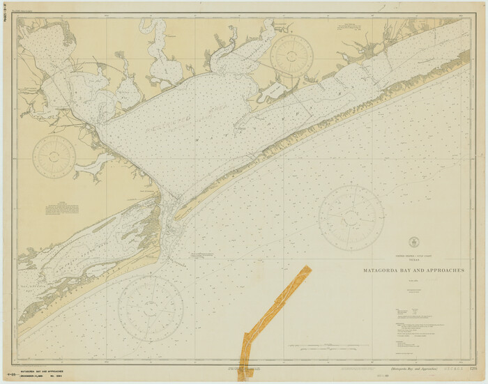
Matagorda Bay and Approaches
1931
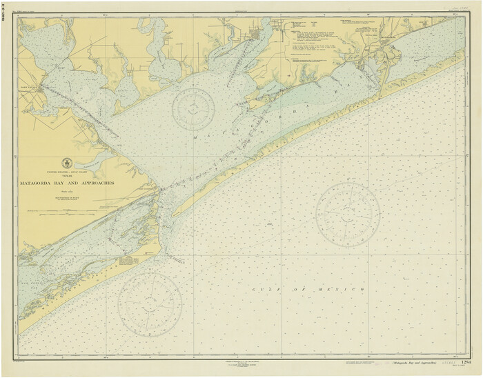
Matagorda Bay and Approaches
1946
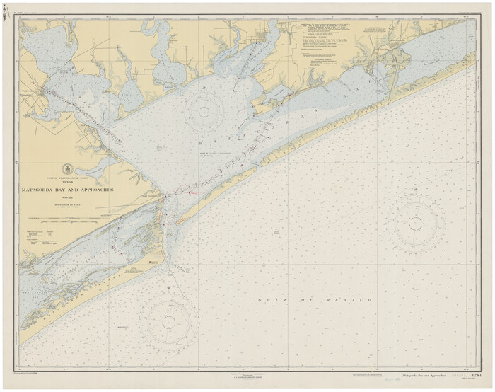
Matagorda Bay and Approaches
1948
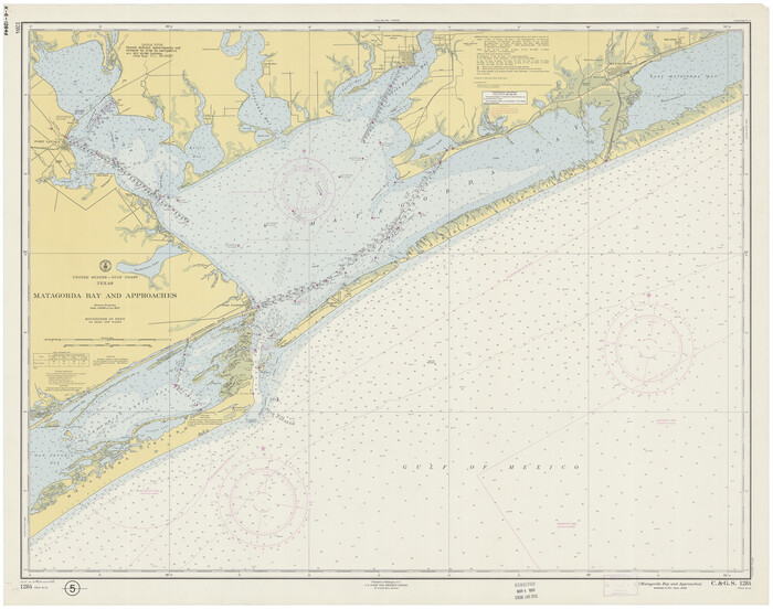
Matagorda Bay and Approaches
1957

Matagorda Bay and Approaches
1961

Matagorda Bay and Approaches
1965
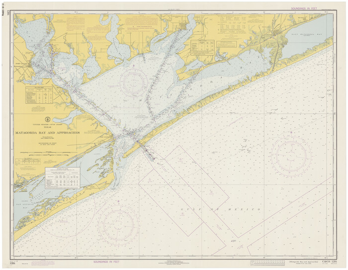
Matagorda Bay and Approaches
1972

Matagorda Bay and Approaches
1973

Matagorda Bay and Approaches
1974

Matagorda Bay and Approaches
1976

A Map of Matagorda Bay and County With the Adjacent County
1839
-
Size
33.9 x 43.1 inches
-
Map/Doc
4855
-
Creation Date
1839

Bird's Eye View of Victoria
1873
-
Size
24.6 x 28.9 inches
-
Map/Doc
89210
-
Creation Date
1873

Calhoun County Working Sketch 3
1923
-
Size
18.4 x 42.4 inches
-
Map/Doc
67819
-
Creation Date
1923

Coast Chart No. 207 - Matagorda Bay, Texas
1888
-
Size
34.2 x 40.7 inches
-
Map/Doc
70000
-
Creation Date
1888

Connected Map of DeWitt's Colony compiled from the surveys of Byrd Lockhart
1831
-
Size
39.2 x 54.0 inches
-
Map/Doc
1942
-
Creation Date
1831

Connected Map of the County of Victoria
1838
-
Size
79.7 x 49.0 inches
-
Map/Doc
1946
-
Creation Date
1838

DeWitt County Sketch File 2
1868
-
Size
13.0 x 12.2 inches
-
Map/Doc
20799
-
Creation Date
1868

DeWitt County Sketch File 7
1876
-
Size
11.3 x 9.0 inches
-
Map/Doc
20817
-
Creation Date
1876

DeWitt County Working Sketch 14
1988
-
Size
26.3 x 29.0 inches
-
Map/Doc
68604
-
Creation Date
1988

Duval County Sketch File 35
-
Size
14.4 x 8.8 inches
-
Map/Doc
21359

General Highway Map, Victoria County, Texas
1940
-
Size
24.8 x 18.5 inches
-
Map/Doc
79268
-
Creation Date
1940

General Highway Map, Victoria County, Texas
1961
-
Size
25.0 x 18.3 inches
-
Map/Doc
79697
-
Creation Date
1961

Guadalupe-Blanco River Authority Master Plan
-
Size
23.1 x 29.8 inches
-
Map/Doc
97506

Jackson County Rolled Sketch 13
1975
-
Size
10.7 x 15.3 inches
-
Map/Doc
46135
-
Creation Date
1975

Jackson County Working Sketch 8
1980
-
Size
30.4 x 29.0 inches
-
Map/Doc
66456
-
Creation Date
1980

Lavaca County Sketch File 2
1849
-
Size
8.7 x 7.5 inches
-
Map/Doc
29630
-
Creation Date
1849

Lavaca County Sketch File 3
1853
-
Size
10.1 x 9.8 inches
-
Map/Doc
29633
-
Creation Date
1853

Map of Victoria County
1873
-
Size
20.9 x 19.3 inches
-
Map/Doc
4116
-
Creation Date
1873

Map of Victoria County
1895
-
Size
28.7 x 27.0 inches
-
Map/Doc
4117
-
Creation Date
1895

Map of Victoria County
1873
-
Size
20.9 x 19.3 inches
-
Map/Doc
4639
-
Creation Date
1873

Matagorda Bay and Approaches
1931
-
Size
34.9 x 44.4 inches
-
Map/Doc
73378
-
Creation Date
1931

Matagorda Bay and Approaches
1946
-
Size
35.2 x 44.8 inches
-
Map/Doc
73379
-
Creation Date
1946

Matagorda Bay and Approaches
1948
-
Size
35.3 x 45.0 inches
-
Map/Doc
73380
-
Creation Date
1948

Matagorda Bay and Approaches
1957
-
Size
35.1 x 44.8 inches
-
Map/Doc
73381
-
Creation Date
1957

Matagorda Bay and Approaches
1961
-
Size
35.0 x 45.0 inches
-
Map/Doc
73382
-
Creation Date
1961

Matagorda Bay and Approaches
1965
-
Size
34.8 x 44.9 inches
-
Map/Doc
73383
-
Creation Date
1965

Matagorda Bay and Approaches
1972
-
Size
34.8 x 44.8 inches
-
Map/Doc
73384
-
Creation Date
1972

Matagorda Bay and Approaches
1973
-
Size
34.9 x 45.0 inches
-
Map/Doc
73385
-
Creation Date
1973

Matagorda Bay and Approaches
1974
-
Size
35.1 x 44.6 inches
-
Map/Doc
73386
-
Creation Date
1974

Matagorda Bay and Approaches
1976
-
Size
35.8 x 45.2 inches
-
Map/Doc
73387
-
Creation Date
1976