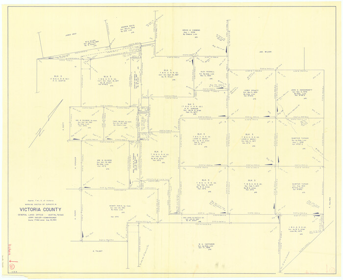
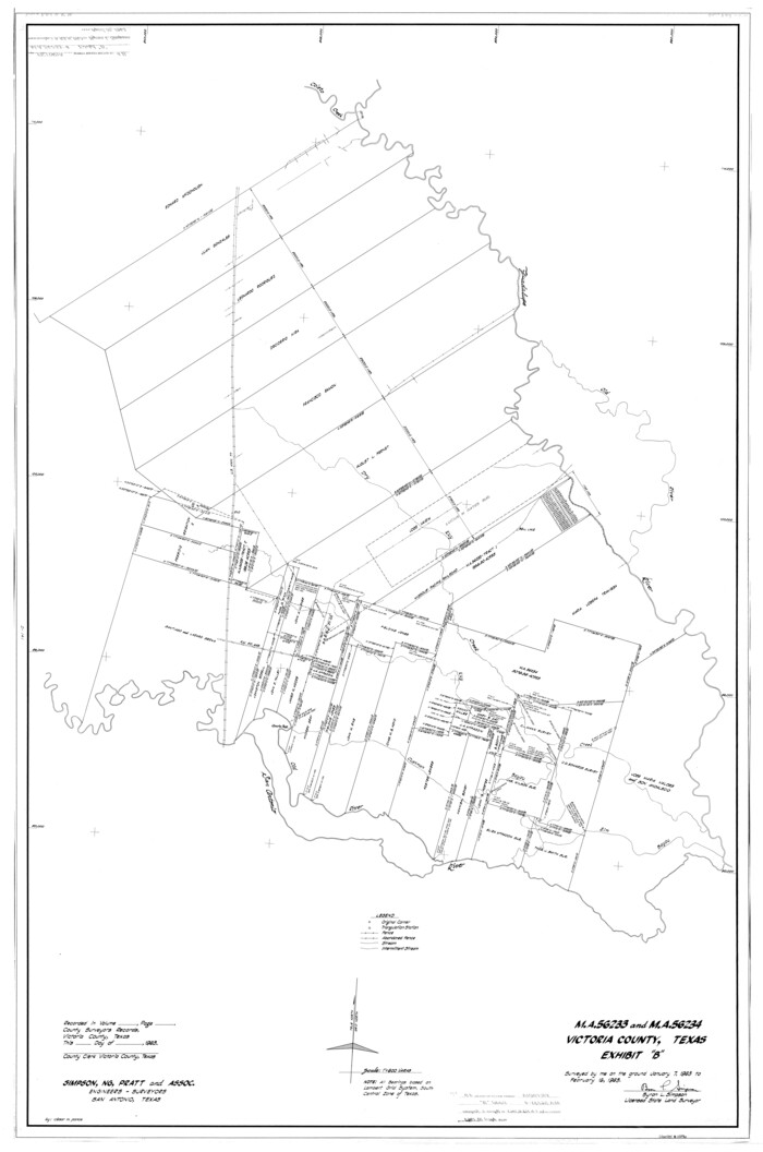
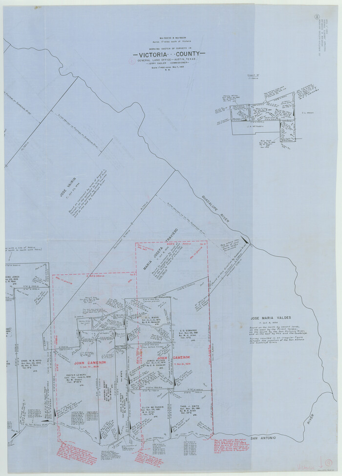
107 results

The Republic County of Victoria. Proposed, Late Fall 1837
96294.tif
Print $20.00 - Digital $50.00

The Republic County of Victoria. Proposed, Late Fall 1837

2020
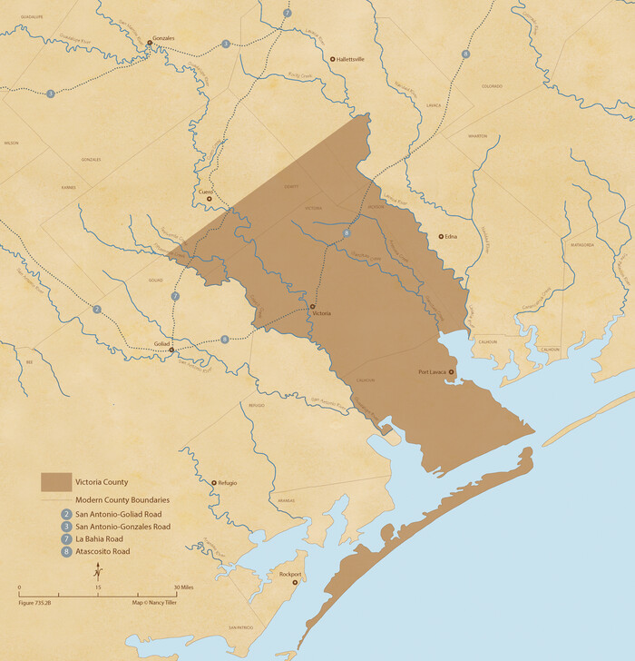
Size: 11.3 x 10.8 inches
96294
The Republic County of Victoria. Proposed, Late Fall 1837-September 18, 1838
96295.tif
Print $20.00 - Digital $50.00

The Republic County of Victoria. Proposed, Late Fall 1837-September 18, 1838

2020
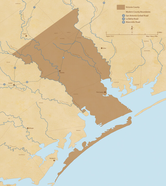
Size: 11.3 x 10.8 inches
96295
The Republic County of Victoria. September 18, 1838
96296.tif
Print $20.00 - Digital $50.00

The Republic County of Victoria. September 18, 1838

2020
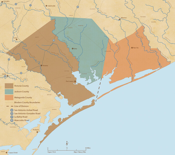
Size: 12.2 x 10.8 inches
96296
The Republic County of Victoria. Boundaries Refined, January 25, 1841
96297.tif
Print $20.00 - Digital $50.00

The Republic County of Victoria. Boundaries Refined, January 25, 1841

2020
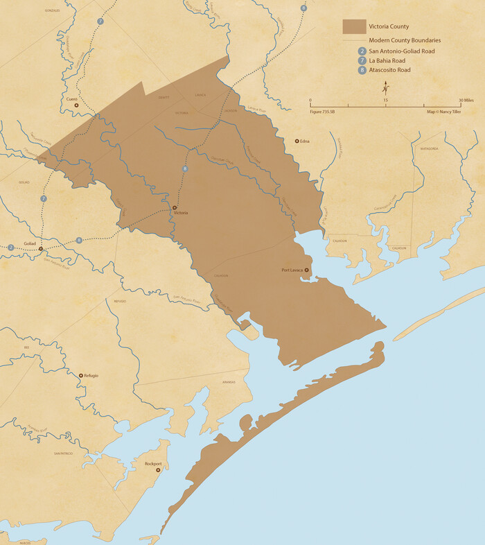
Size: 9.7 x 10.9 inches
96297
The Republic County of Victoria. January 29, 1842
96298.tif
Print $20.00 - Digital $50.00

The Republic County of Victoria. January 29, 1842

2020

Size: 12.2 x 10.8 inches
96298
The Republic County of Victoria. February 2, 1842
96299.tif
Print $20.00 - Digital $50.00

The Republic County of Victoria. February 2, 1842

2020
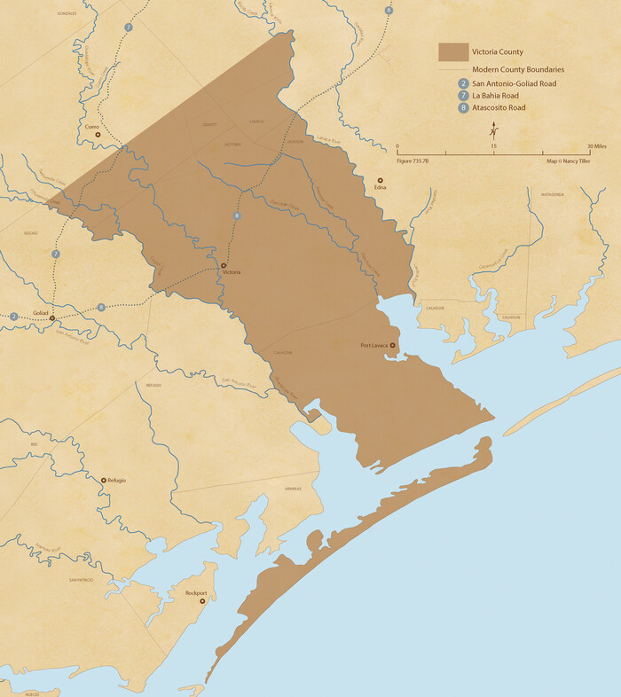
Size: 12.2 x 10.8 inches
96299
The Republic County of Victoria. Spring 1842
96300.tif
Print $20.00 - Digital $50.00

The Republic County of Victoria. Spring 1842

2020
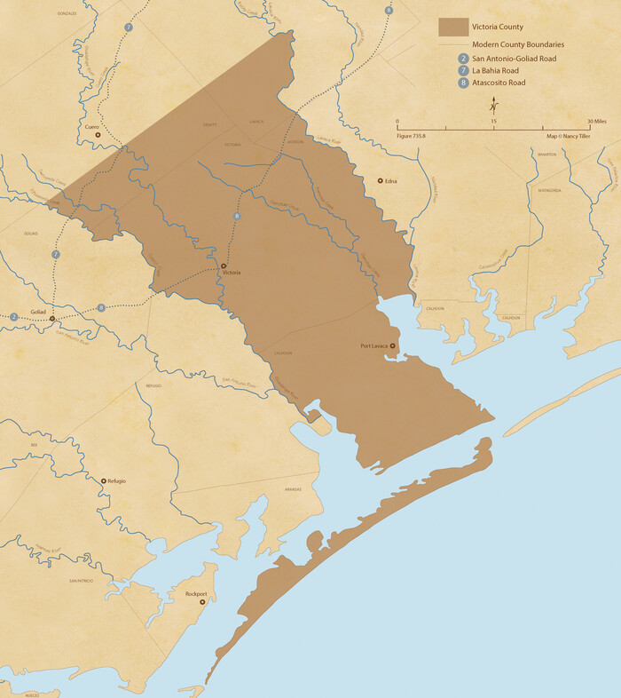
Size: 12.2 x 10.8 inches
96300
The Republic County of Victoria. December 29, 1845
96301.tif
Print $20.00 - Digital $50.00

The Republic County of Victoria. December 29, 1845

2020
Size: 12.2 x 10.8 inches
96301
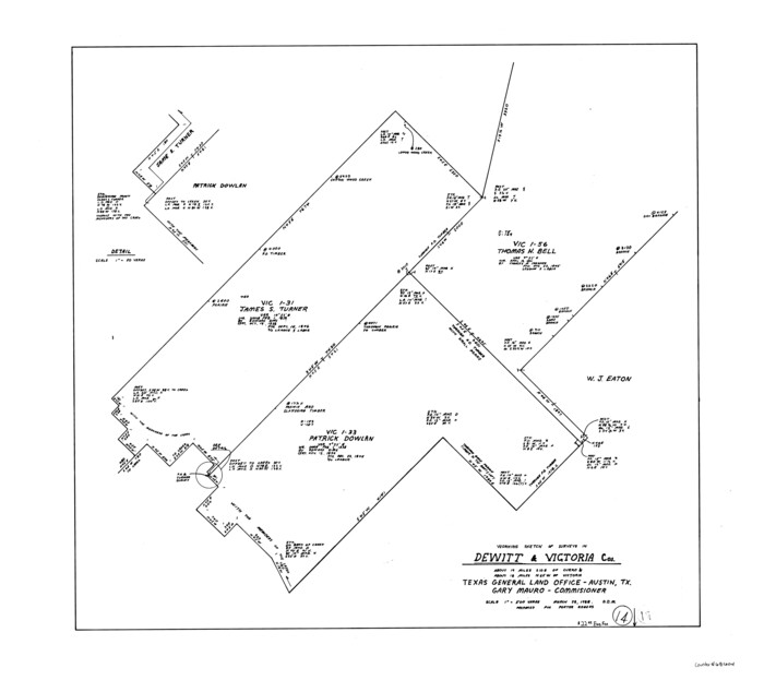
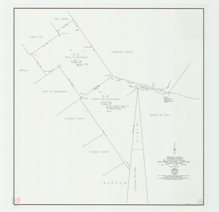
Victoria County Working Sketch 11
83591.tif
Print $20.00 - Digital $50.00

Victoria County Working Sketch 11

2005

Size: 34.7 x 36.0 inches
83591
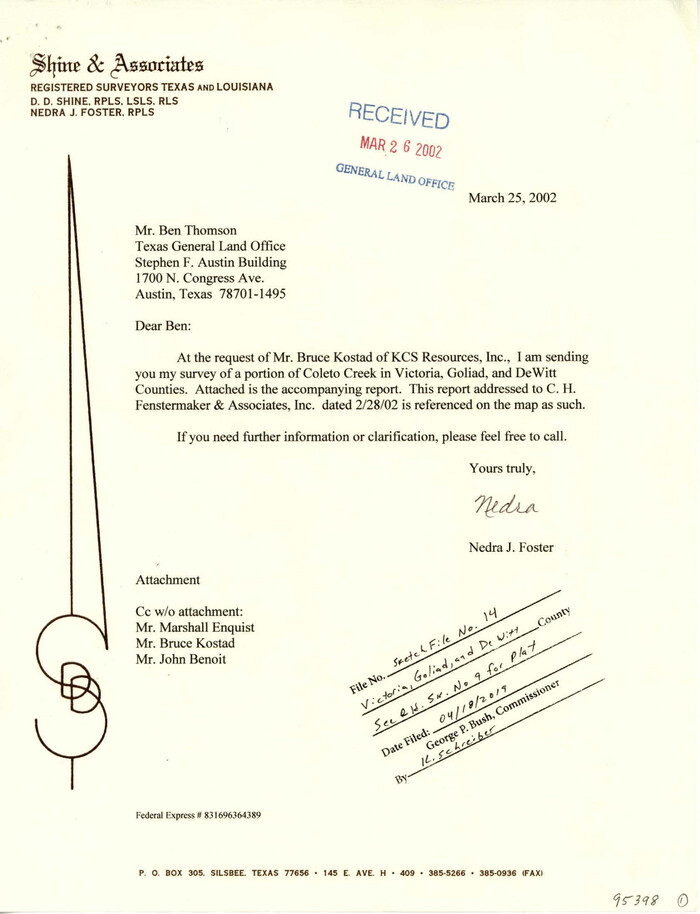
Victoria County Sketch File 14
95398, Victoria County Sketch File 14, General Map Collection
Print $10.00 - Digital $50.00

Victoria County Sketch File 14

2002

Size: 11.0 x 8.5 inches
95398
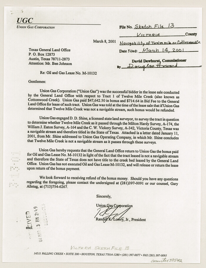
Victoria County Sketch File 13
39542, Victoria County Sketch File 13, General Map Collection
Print $10.00 - Digital $50.00

Victoria County Sketch File 13

2001

Size: 11.5 x 8.8 inches
39542
Refugio County Sketch File 27
35294, Refugio County Sketch File 27, General Map Collection
Print $18.00 - Digital $50.00

Refugio County Sketch File 27

1993

Size: 11.4 x 8.8 inches
35294
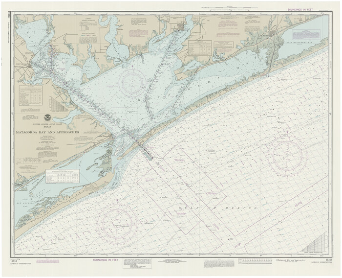
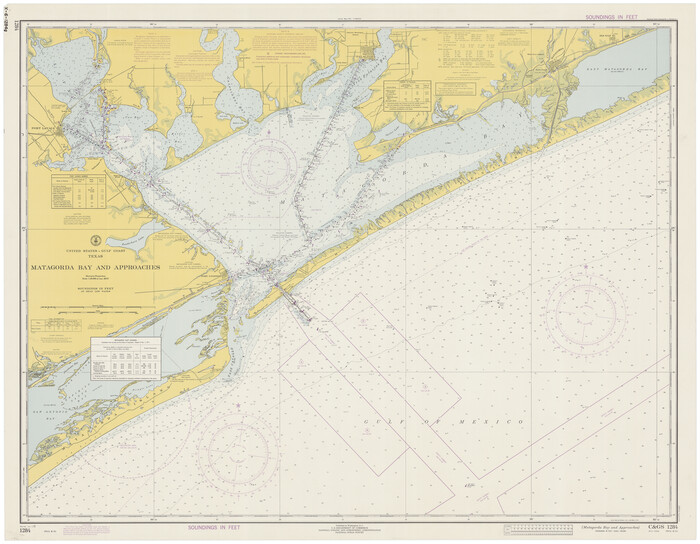
Matagorda Bay and Approaches
73390.tif
Print $20.00 - Digital $50.00

Matagorda Bay and Approaches

1992

Size: 36.6 x 44.6 inches
73390
Matagorda Bay and Approaches
73389.tif
Print $20.00 - Digital $50.00

Matagorda Bay and Approaches

1989

Size: 36.3 x 45.0 inches
73389
Victoria County Sketch File 11
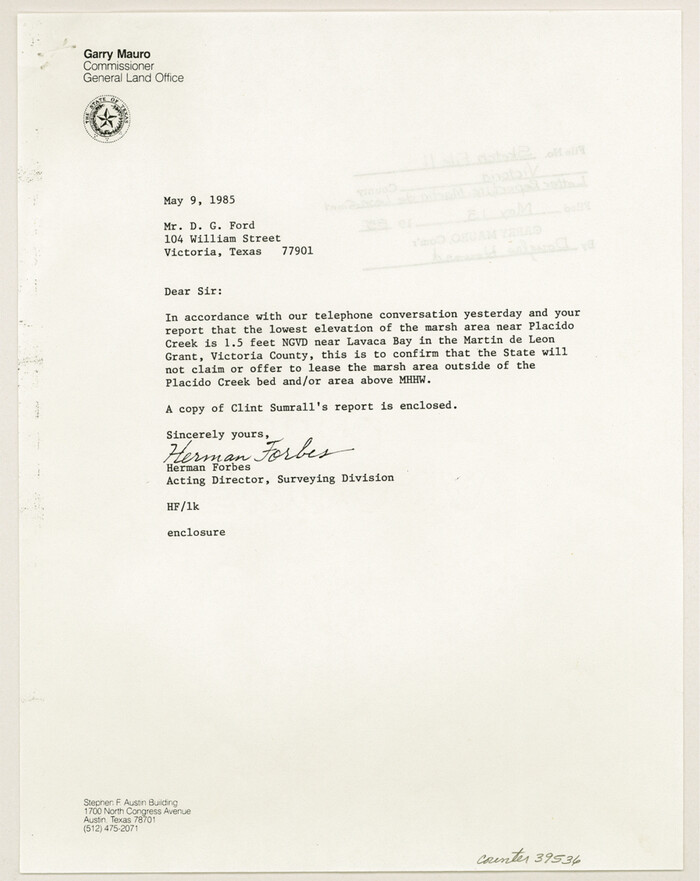
39536, Victoria County Sketch File 11, General Map Collection
Print $8.00 - Digital $50.00

Victoria County Sketch File 11

1985

Size: 11.3 x 9.0 inches
39536
Matagorda Bay and Approaches
73388.tif
Print $20.00 - Digital $50.00

Matagorda Bay and Approaches

1982

Size: 36.2 x 44.9 inches
73388
Matagorda Bay and Approaches
73387.tif
Print $20.00 - Digital $50.00

Matagorda Bay and Approaches

1976

Size: 35.8 x 45.2 inches
73387
Jackson County Rolled Sketch 13
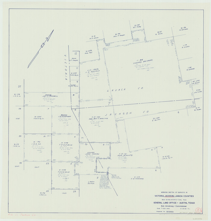
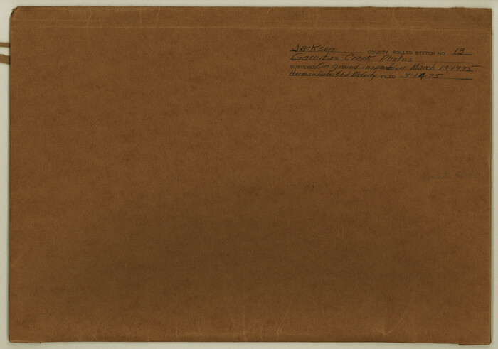
46135, Jackson County Rolled Sketch 13, General Map Collection
Print $92.00 - Digital $50.00

Jackson County Rolled Sketch 13

1975

Size: 10.7 x 15.3 inches
46135
Matagorda Bay and Approaches
73386.tif
Print $20.00 - Digital $50.00

Matagorda Bay and Approaches

1974

Size: 35.1 x 44.6 inches
73386
Matagorda Bay and Approaches
73385.tif
Print $20.00 - Digital $50.00

Matagorda Bay and Approaches

1973

Size: 34.9 x 45.0 inches
73385
Matagorda Bay and Approaches
73384.tif
Print $20.00 - Digital $50.00

Matagorda Bay and Approaches

1972

Size: 34.8 x 44.8 inches
73384
Matagorda Bay and Approaches
73383.tif
Print $20.00 - Digital $50.00

Matagorda Bay and Approaches

1965

Size: 34.8 x 44.9 inches
73383
Victoria County Rolled Sketch 4B
10096.tif
Print $40.00 - Digital $50.00

Victoria County Rolled Sketch 4B

1963

Size: 65.3 x 43.3 inches
10096
Victoria County Rolled Sketch 4C
10097.tif
Print $40.00 - Digital $50.00

Victoria County Rolled Sketch 4C

1963

Size: 65.0 x 43.3 inches
10097
Matagorda Bay and Approaches
73382.tif
Print $20.00 - Digital $50.00

Matagorda Bay and Approaches

1961

Size: 35.0 x 45.0 inches
73382
Victoria County Rolled Sketch 5
8151.tif
Print $20.00 - Digital $50.00

Victoria County Rolled Sketch 5

1961

Size: 27.8 x 43.8 inches
8151
General Highway Map, Victoria County, Texas
79697.tif
Print $20.00

General Highway Map, Victoria County, Texas

1961

Size: 25.0 x 18.3 inches
79697
Matagorda Bay and Approaches
73381.tif
Print $20.00 - Digital $50.00

Matagorda Bay and Approaches

1957

Size: 35.1 x 44.8 inches
73381
Victoria County Aerial Photograph Index Sheet 4
83748, Victoria County Aerial Photograph Index Sheet 4, General Map Collection
Print $20.00 - Digital $50.00

Victoria County Aerial Photograph Index Sheet 4

1953

Size: 19.8 x 23.4 inches
83748
Victoria County Aerial Photograph Index Sheet 5
83749, Victoria County Aerial Photograph Index Sheet 5, General Map Collection
Print $20.00 - Digital $50.00

Victoria County Aerial Photograph Index Sheet 5

1953

Size: 19.8 x 23.6 inches
83749
The Republic County of Victoria. Proposed, Late Fall 1837
96294, The Republic County of Victoria. Proposed, Late Fall 1837, Nancy and Jim Tiller Digital Collection
Print $20.00 - Digital $50.00

The Republic County of Victoria. Proposed, Late Fall 1837

2020

  • Size

    11.3 x 10.8 inches

  • Map/Doc

    96294

  • Creation Date

    2020

The Republic County of Victoria. Proposed, Late Fall 1837-September 18, 1838
96295, The Republic County of Victoria. Proposed, Late Fall 1837-September 18, 1838, Nancy and Jim Tiller Digital Collection
Print $20.00 - Digital $50.00

The Republic County of Victoria. Proposed, Late Fall 1837-September 18, 1838

2020

  • Size

    11.3 x 10.8 inches

  • Map/Doc

    96295

  • Creation Date

    2020

The Republic County of Victoria. September 18, 1838
96296, The Republic County of Victoria. September 18, 1838, Nancy and Jim Tiller Digital Collection
Print $20.00 - Digital $50.00

The Republic County of Victoria. September 18, 1838

2020

  • Size

    12.2 x 10.8 inches

  • Map/Doc

    96296

  • Creation Date

    2020

The Republic County of Victoria. Boundaries Refined, January 25, 1841
96297, The Republic County of Victoria. Boundaries Refined, January 25, 1841, Nancy and Jim Tiller Digital Collection
Print $20.00 - Digital $50.00

The Republic County of Victoria. Boundaries Refined, January 25, 1841

2020

  • Size

    9.7 x 10.9 inches

  • Map/Doc

    96297

  • Creation Date

    2020

The Republic County of Victoria. January 29, 1842
96298, The Republic County of Victoria. January 29, 1842, Nancy and Jim Tiller Digital Collection
Print $20.00 - Digital $50.00

The Republic County of Victoria. January 29, 1842

2020

  • Size

    12.2 x 10.8 inches

  • Map/Doc

    96298

  • Creation Date

    2020

The Republic County of Victoria. February 2, 1842
96299, The Republic County of Victoria. February 2, 1842, Nancy and Jim Tiller Digital Collection
Print $20.00 - Digital $50.00

The Republic County of Victoria. February 2, 1842

2020

  • Size

    12.2 x 10.8 inches

  • Map/Doc

    96299

  • Creation Date

    2020

The Republic County of Victoria. Spring 1842
96300, The Republic County of Victoria. Spring 1842, Nancy and Jim Tiller Digital Collection
Print $20.00 - Digital $50.00

The Republic County of Victoria. Spring 1842

2020

  • Size

    12.2 x 10.8 inches

  • Map/Doc

    96300

  • Creation Date

    2020

The Republic County of Victoria. December 29, 1845
96301, The Republic County of Victoria. December 29, 1845, Nancy and Jim Tiller Digital Collection
Print $20.00 - Digital $50.00

The Republic County of Victoria. December 29, 1845

2020

  • Size

    12.2 x 10.8 inches

  • Map/Doc

    96301

  • Creation Date

    2020

Victoria County Working Sketch 11
83591, Victoria County Working Sketch 11, General Map Collection
Print $20.00 - Digital $50.00

Victoria County Working Sketch 11

2005

  • Size

    34.7 x 36.0 inches

  • Map/Doc

    83591

  • Creation Date

    2005

Victoria County Sketch File 14
95398, Victoria County Sketch File 14, General Map Collection
Print $10.00 - Digital $50.00

Victoria County Sketch File 14

2002

  • Size

    11.0 x 8.5 inches

  • Map/Doc

    95398

  • Creation Date

    2002

Victoria County Sketch File 13
39542, Victoria County Sketch File 13, General Map Collection
Print $10.00 - Digital $50.00

Victoria County Sketch File 13

2001

  • Size

    11.5 x 8.8 inches

  • Map/Doc

    39542

  • Creation Date

    2001

Refugio County Sketch File 27
35294, Refugio County Sketch File 27, General Map Collection
Print $18.00 - Digital $50.00

Refugio County Sketch File 27

1993

  • Size

    11.4 x 8.8 inches

  • Map/Doc

    35294

  • Creation Date

    1993

Matagorda Bay and Approaches
73390, Matagorda Bay and Approaches, General Map Collection
Print $20.00 - Digital $50.00

Matagorda Bay and Approaches

1992

  • Size

    36.6 x 44.6 inches

  • Map/Doc

    73390

  • Creation Date

    1992

Matagorda Bay and Approaches
73389, Matagorda Bay and Approaches, General Map Collection
Print $20.00 - Digital $50.00

Matagorda Bay and Approaches

1989

  • Size

    36.3 x 45.0 inches

  • Map/Doc

    73389

  • Creation Date

    1989

Victoria County Sketch File 11
39536, Victoria County Sketch File 11, General Map Collection
Print $8.00 - Digital $50.00

Victoria County Sketch File 11

1985

  • Size

    11.3 x 9.0 inches

  • Map/Doc

    39536

  • Creation Date

    1985

Matagorda Bay and Approaches
73388, Matagorda Bay and Approaches, General Map Collection
Print $20.00 - Digital $50.00

Matagorda Bay and Approaches

1982

  • Size

    36.2 x 44.9 inches

  • Map/Doc

    73388

  • Creation Date

    1982

Matagorda Bay and Approaches
73387, Matagorda Bay and Approaches, General Map Collection
Print $20.00 - Digital $50.00

Matagorda Bay and Approaches

1976

  • Size

    35.8 x 45.2 inches

  • Map/Doc

    73387

  • Creation Date

    1976

Jackson County Rolled Sketch 13
46135, Jackson County Rolled Sketch 13, General Map Collection
Print $92.00 - Digital $50.00

Jackson County Rolled Sketch 13

1975

  • Size

    10.7 x 15.3 inches

  • Map/Doc

    46135

  • Creation Date

    1975

Matagorda Bay and Approaches
73386, Matagorda Bay and Approaches, General Map Collection
Print $20.00 - Digital $50.00

Matagorda Bay and Approaches

1974

  • Size

    35.1 x 44.6 inches

  • Map/Doc

    73386

  • Creation Date

    1974

Matagorda Bay and Approaches
73385, Matagorda Bay and Approaches, General Map Collection
Print $20.00 - Digital $50.00

Matagorda Bay and Approaches

1973

  • Size

    34.9 x 45.0 inches

  • Map/Doc

    73385

  • Creation Date

    1973

Matagorda Bay and Approaches
73384, Matagorda Bay and Approaches, General Map Collection
Print $20.00 - Digital $50.00

Matagorda Bay and Approaches

1972

  • Size

    34.8 x 44.8 inches

  • Map/Doc

    73384

  • Creation Date

    1972

Matagorda Bay and Approaches
73383, Matagorda Bay and Approaches, General Map Collection
Print $20.00 - Digital $50.00

Matagorda Bay and Approaches

1965

  • Size

    34.8 x 44.9 inches

  • Map/Doc

    73383

  • Creation Date

    1965

Victoria County Rolled Sketch 4B
10096, Victoria County Rolled Sketch 4B, General Map Collection
Print $40.00 - Digital $50.00

Victoria County Rolled Sketch 4B

1963

  • Size

    65.3 x 43.3 inches

  • Map/Doc

    10096

  • Creation Date

    1963

Victoria County Rolled Sketch 4C
10097, Victoria County Rolled Sketch 4C, General Map Collection
Print $40.00 - Digital $50.00

Victoria County Rolled Sketch 4C

1963

  • Size

    65.0 x 43.3 inches

  • Map/Doc

    10097

  • Creation Date

    1963

Matagorda Bay and Approaches
73382, Matagorda Bay and Approaches, General Map Collection
Print $20.00 - Digital $50.00

Matagorda Bay and Approaches

1961

  • Size

    35.0 x 45.0 inches

  • Map/Doc

    73382

  • Creation Date

    1961

Victoria County Rolled Sketch 5
8151, Victoria County Rolled Sketch 5, General Map Collection
Print $20.00 - Digital $50.00

Victoria County Rolled Sketch 5

1961

  • Size

    27.8 x 43.8 inches

  • Map/Doc

    8151

  • Creation Date

    1961

General Highway Map, Victoria County, Texas
79697, General Highway Map, Victoria County, Texas, Texas State Library and Archives
Print $20.00

General Highway Map, Victoria County, Texas

1961

  • Size

    25.0 x 18.3 inches

  • Map/Doc

    79697

  • Creation Date

    1961

Matagorda Bay and Approaches
73381, Matagorda Bay and Approaches, General Map Collection
Print $20.00 - Digital $50.00

Matagorda Bay and Approaches

1957

  • Size

    35.1 x 44.8 inches

  • Map/Doc

    73381

  • Creation Date

    1957

Victoria County Aerial Photograph Index Sheet 4
83748, Victoria County Aerial Photograph Index Sheet 4, General Map Collection
Print $20.00 - Digital $50.00

Victoria County Aerial Photograph Index Sheet 4

1953

  • Size

    19.8 x 23.4 inches

  • Map/Doc

    83748

  • Creation Date

    1953

Victoria County Aerial Photograph Index Sheet 5
83749, Victoria County Aerial Photograph Index Sheet 5, General Map Collection
Print $20.00 - Digital $50.00

Victoria County Aerial Photograph Index Sheet 5

1953

  • Size

    19.8 x 23.6 inches

  • Map/Doc

    83749

  • Creation Date

    1953