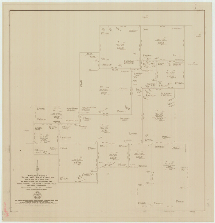
Rains County Working Sketch 10
1998
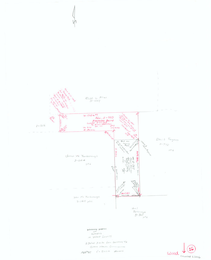
Wood County Working Sketch 16
1987
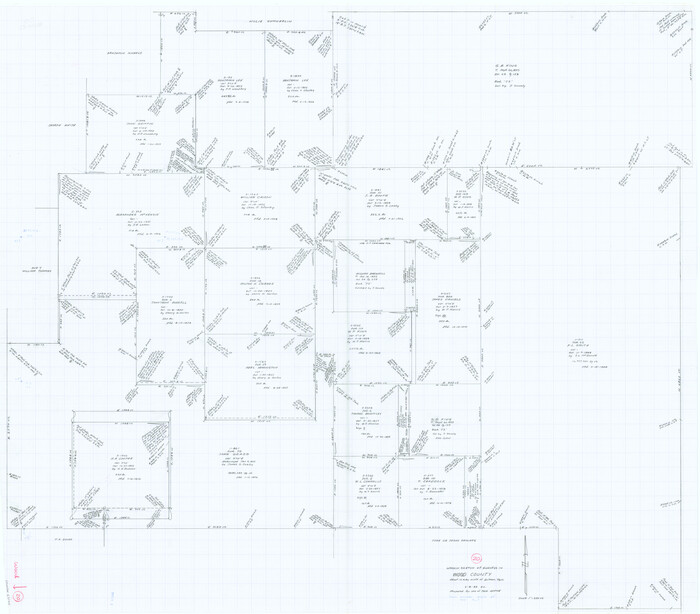
Wood County Working Sketch 20
1985

Wood County Working Sketch 19
1982
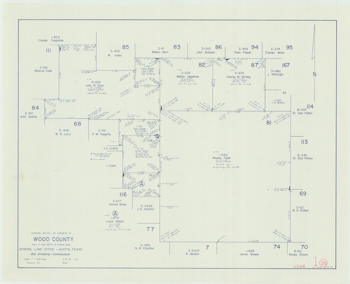
Wood County Working Sketch 15
1981
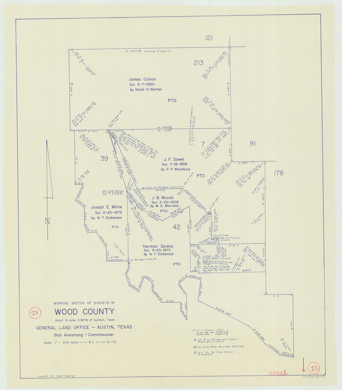
Wood County Working Sketch 13
1973
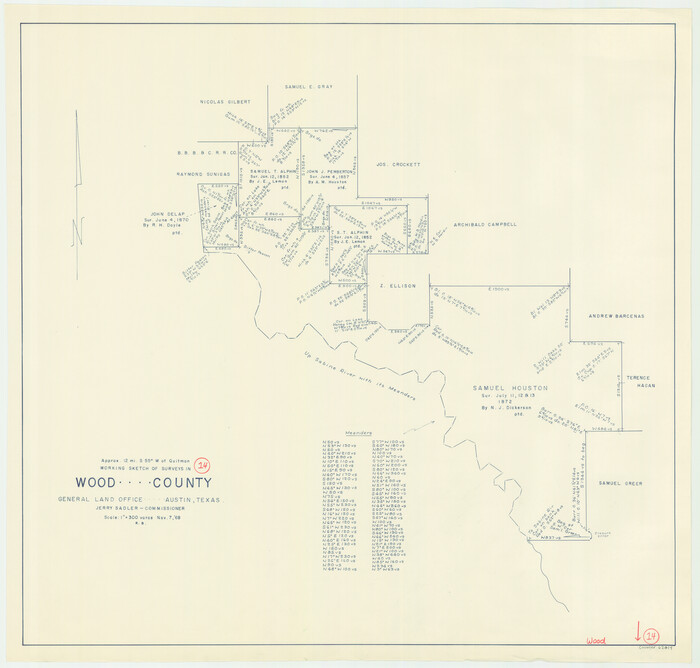
Wood County Working Sketch 14
1968
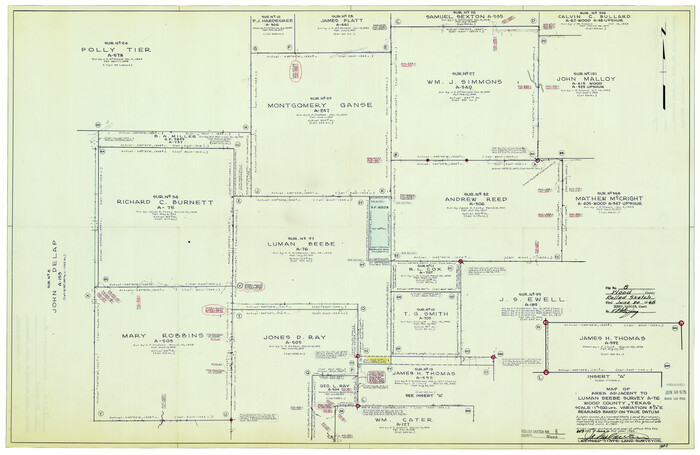
Wood County Rolled Sketch 8
1965

Wood County Working Sketch 12
1964
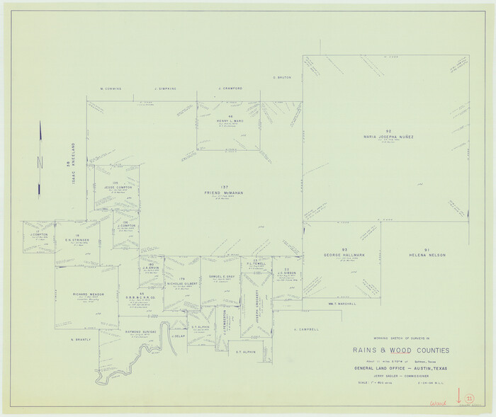
Wood County Working Sketch 11
1964

Rains County Working Sketch 7
1964

Wood County Working Sketch 23
1962
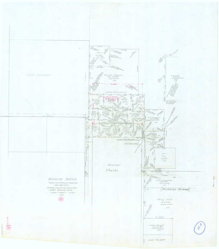
Wood County Working Sketch 21
1962

Wood County Working Sketch 22
1962

General Highway Map, Wood County, Texas
1961

Smith County Rolled Sketch 6E2
1960
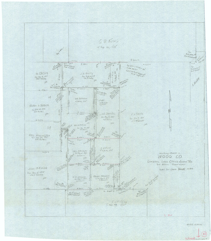
Wood County Working Sketch 18
1959
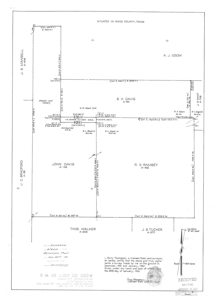
Wood County Rolled Sketch 6
1952

Wood County Rolled Sketch 5
1950

Nacogdoches County Sketch File 16
1945

Wood County Rolled Sketch 4
1943
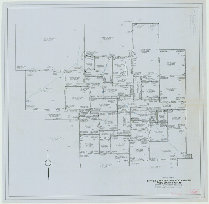
Wood County Working Sketch 10
1943
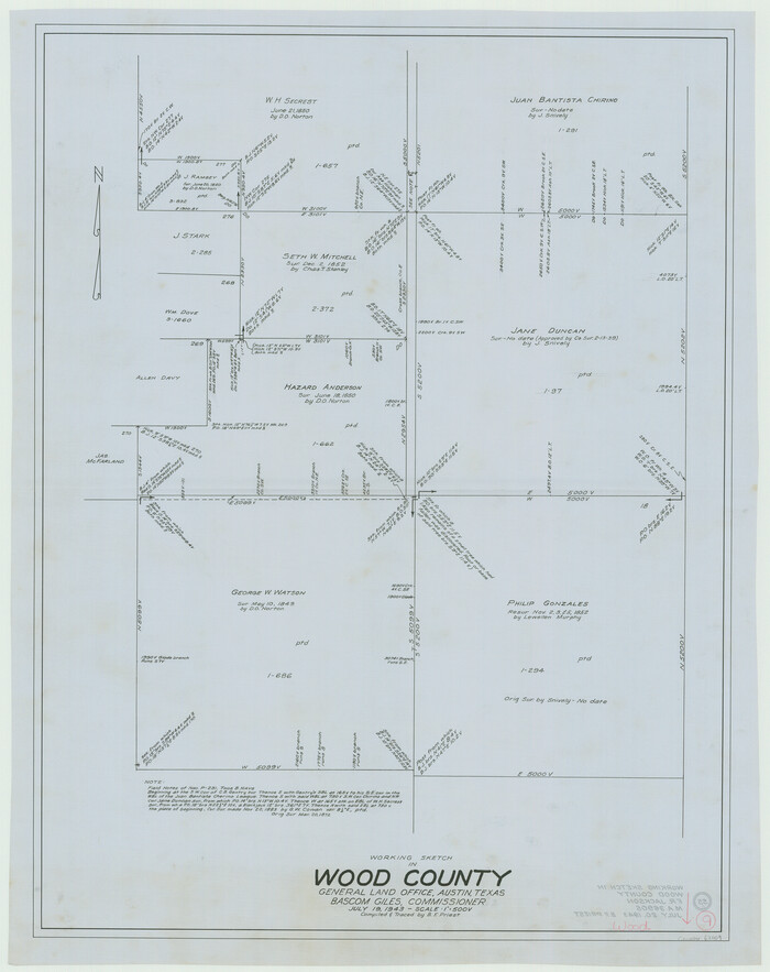
Wood County Working Sketch 9
1943

Wood County Working Sketch 8
1943
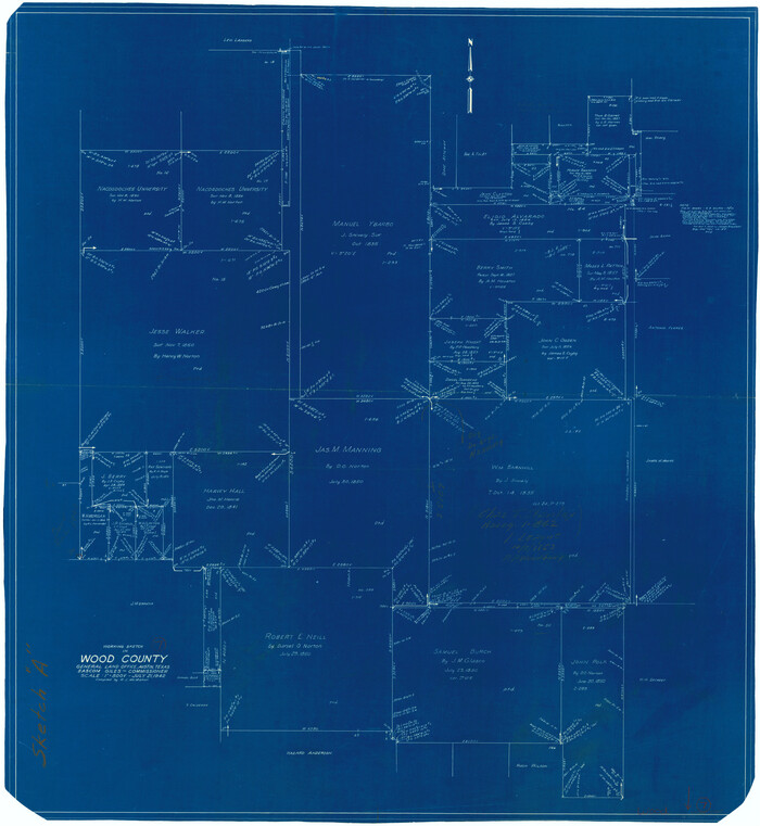
Wood County Working Sketch 7
1942
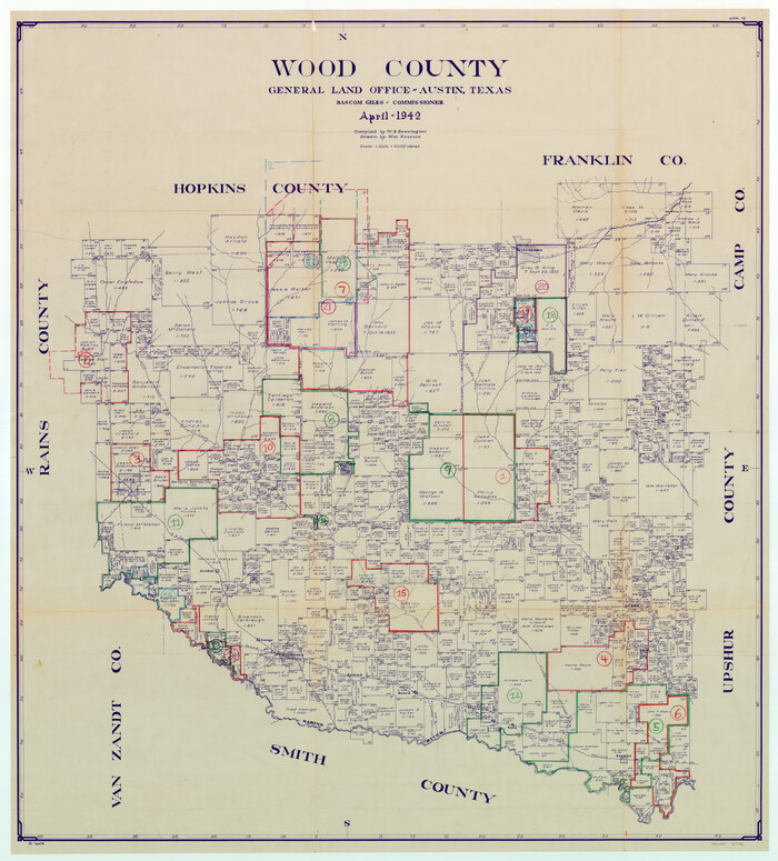
Wood County Working Sketch Graphic Index
1942

Rains County Working Sketch 10
1998
-
Size
36.1 x 34.7 inches
-
Map/Doc
71836
-
Creation Date
1998

Wood County Working Sketch 16
1987
-
Size
21.7 x 17.7 inches
-
Map/Doc
62016
-
Creation Date
1987

Wood County Working Sketch 20
1985
-
Size
42.6 x 48.6 inches
-
Map/Doc
62020
-
Creation Date
1985

Wood County Working Sketch 19
1982
-
Size
25.8 x 24.8 inches
-
Map/Doc
62019
-
Creation Date
1982

Wood County Working Sketch 15
1981
-
Size
25.7 x 31.7 inches
-
Map/Doc
62015
-
Creation Date
1981

Wood County Working Sketch 13
1973
-
Size
23.1 x 20.2 inches
-
Map/Doc
62013
-
Creation Date
1973

Wood County Working Sketch 14
1968
-
Size
30.1 x 31.6 inches
-
Map/Doc
62014
-
Creation Date
1968

Wood County Rolled Sketch 8
1965
-
Size
22.6 x 34.8 inches
-
Map/Doc
8286
-
Creation Date
1965

Wood County Working Sketch 12
1964
-
Size
37.4 x 34.5 inches
-
Map/Doc
62012
-
Creation Date
1964

Wood County Working Sketch 11
1964
-
Size
31.4 x 37.4 inches
-
Map/Doc
62011
-
Creation Date
1964

Rains County Working Sketch 7
1964
-
Size
32.6 x 38.6 inches
-
Map/Doc
71833
-
Creation Date
1964

Wood County Working Sketch 23
1962
-
Size
54.9 x 43.5 inches
-
Map/Doc
78230
-
Creation Date
1962

Wood County Working Sketch 21
1962
-
Size
40.6 x 35.7 inches
-
Map/Doc
62021
-
Creation Date
1962

Wood County Working Sketch 22
1962
-
Size
45.9 x 36.6 inches
-
Map/Doc
62022
-
Creation Date
1962

General Highway Map, Wood County, Texas
1961
-
Size
18.1 x 24.8 inches
-
Map/Doc
79718
-
Creation Date
1961

Smith County Rolled Sketch 6E2
1960
-
Size
27.6 x 22.7 inches
-
Map/Doc
10613
-
Creation Date
1960

Wood County Working Sketch 18
1959
-
Size
31.5 x 27.6 inches
-
Map/Doc
62018
-
Creation Date
1959

Wood County Rolled Sketch 6
1952
-
Size
29.7 x 21.2 inches
-
Map/Doc
8284
-
Creation Date
1952

Wood County Rolled Sketch 5
1950
-
Size
36.8 x 40.2 inches
-
Map/Doc
10161
-
Creation Date
1950

Nacogdoches County Sketch File 16
1945
-
Size
24.6 x 18.5 inches
-
Map/Doc
42155
-
Creation Date
1945

Wood County Rolled Sketch 4
1943
-
Size
37.0 x 29.2 inches
-
Map/Doc
8283
-
Creation Date
1943

Wood County Working Sketch 10
1943
-
Size
29.6 x 30.4 inches
-
Map/Doc
62010
-
Creation Date
1943

Wood County Working Sketch 9
1943
-
Size
36.0 x 28.5 inches
-
Map/Doc
62009
-
Creation Date
1943

Wood County Working Sketch 8
1943
-
Size
27.7 x 25.2 inches
-
Map/Doc
62008
-
Creation Date
1943

Wood County
1942
-
Size
42.0 x 38.4 inches
-
Map/Doc
63137
-
Creation Date
1942

Wood County
1942
-
Size
45.8 x 40.1 inches
-
Map/Doc
73330
-
Creation Date
1942
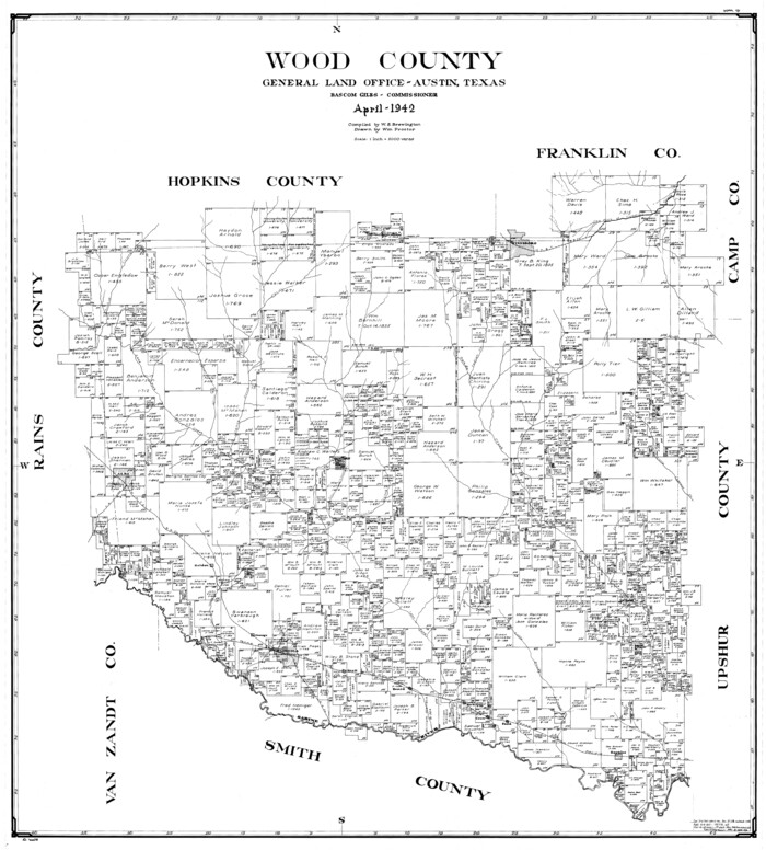
Wood County
1942
-
Size
40.3 x 36.4 inches
-
Map/Doc
77464
-
Creation Date
1942
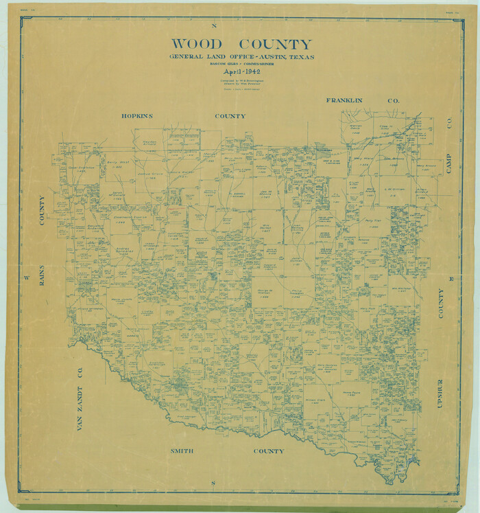
Wood County
1942
-
Size
42.0 x 39.3 inches
-
Map/Doc
78451
-
Creation Date
1942

Wood County Working Sketch 7
1942
-
Size
41.0 x 37.7 inches
-
Map/Doc
62007
-
Creation Date
1942

Wood County Working Sketch Graphic Index
1942
-
Size
40.6 x 36.4 inches
-
Map/Doc
76746
-
Creation Date
1942